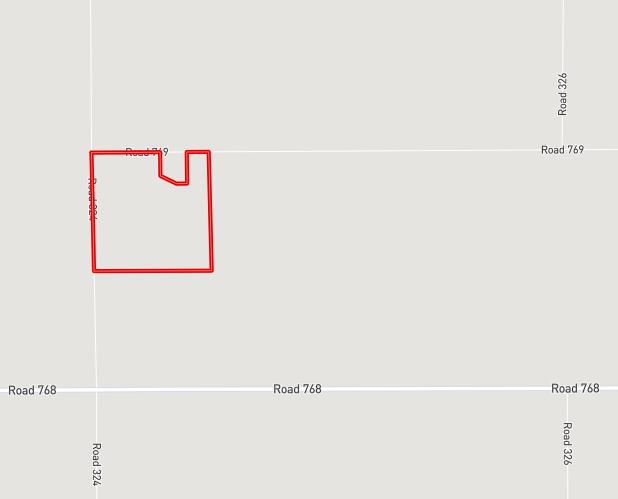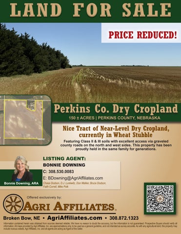
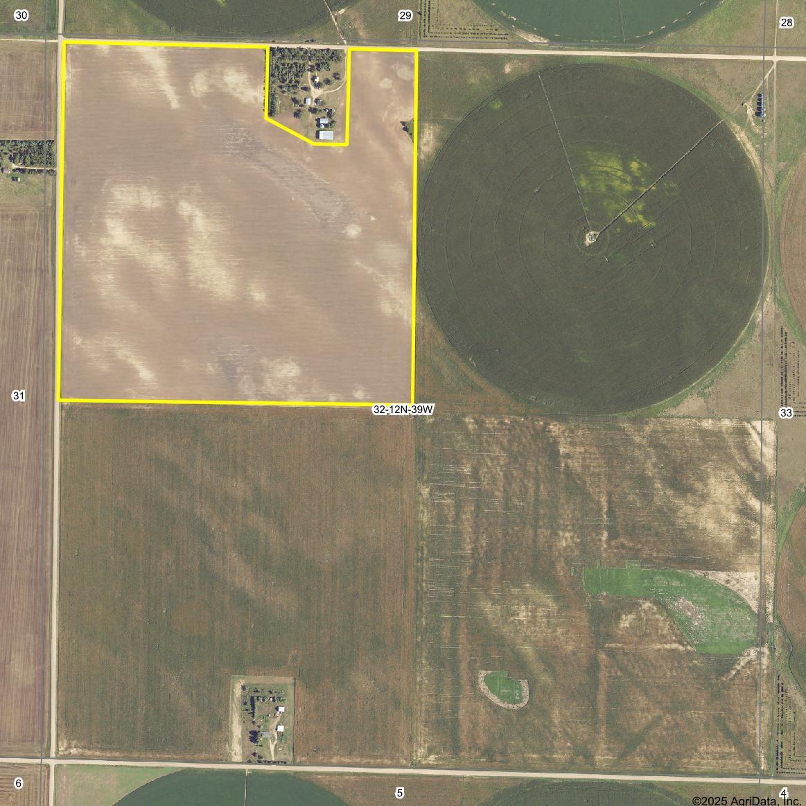


LEGAL DESCRIPTION: PT of the NW¼ (less 10.01 acres explained in survey 25-161) of Section 32, Township 12 North, Range 39 West of the 6th P.M. in Perkins County, Nebraska
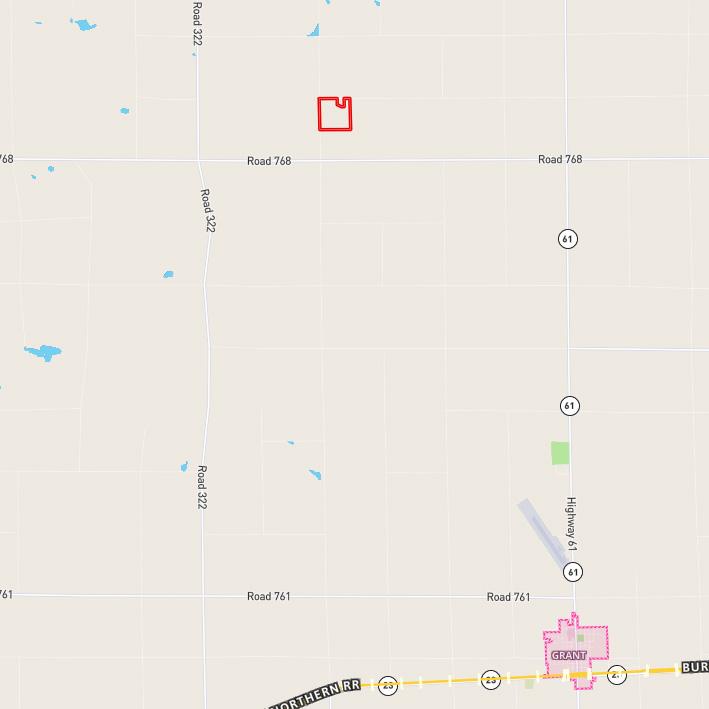
LOCATION: From Grant, NE: 8.4 miles north of Grant, Nebraska via U.S. Hwy 61 and 3.5 Miles west on Road 769.
ACRES & TAXES: 150.17 Tax-assessed acres 2024 Taxes due in 2025: $1,426.06
NATURAL RESOURCES DISTRICT: Upper Republican Natural Resources District.
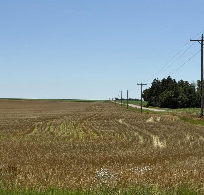
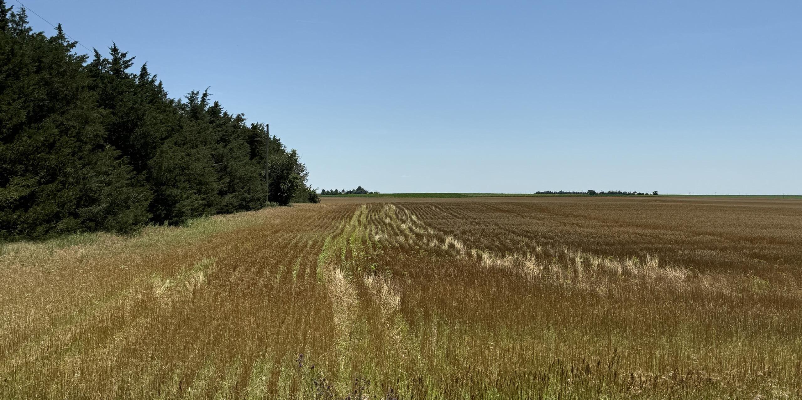
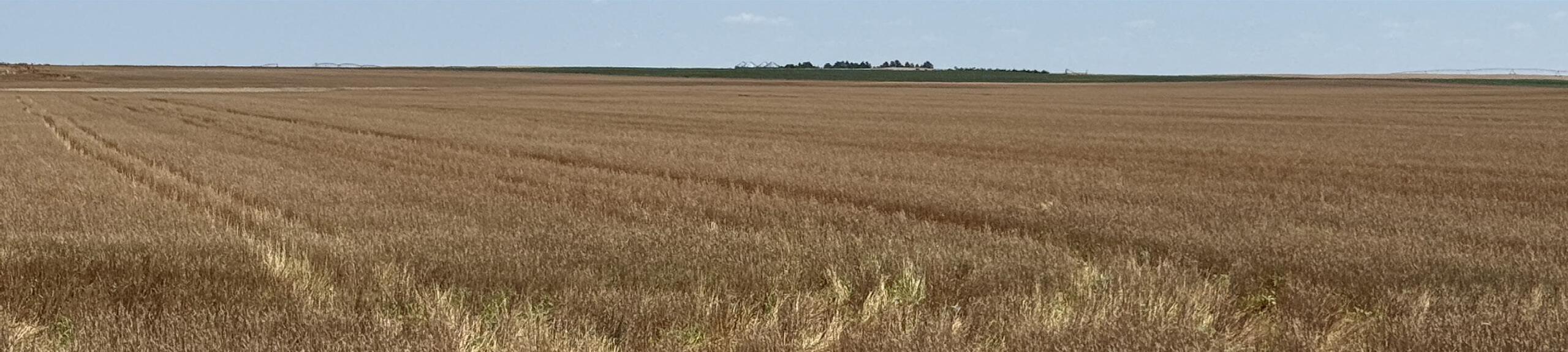
LAND USE: 146.08 acres of dry cropland, currently in wheat stubble.
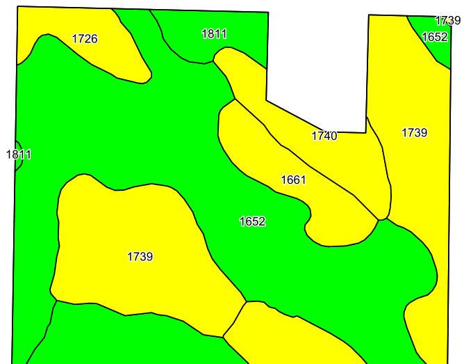
SOILS: 55.2% Class II and 44.8% Class III Soilsprimarily Kuma silt, Rosebud-Canyon & Satanta loams.
PRICE: $375,000 $350,000