


LEGAL DESCRIPTION:
The East Half of the Southwest Quarter (E1/2SW1/4) of Section Seventeen (17), Township Twelve (12) North, Range Nine (9) West of the 6th P.M., Hall County, Nebraska.
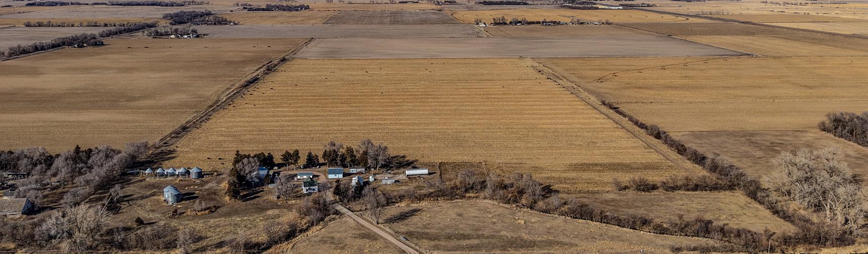
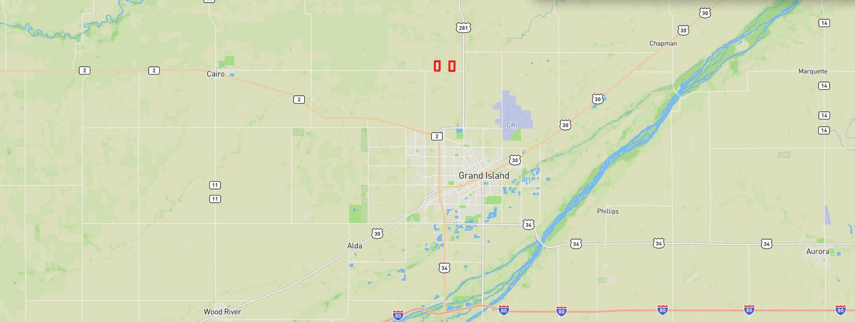
LOCATION: From Grand Island, Nebraska: 3 miles north on Highway 281, then 1/2 mile west on One-R Road West, to the southeasterm corner of the property.
ACRES & TAXES: Estimated Tax-assessed Acres | 78.4 ± acres
2024 Real Estate Taxes | $3,571.20
LEASES: Cropland leased for the 2025 growing season.
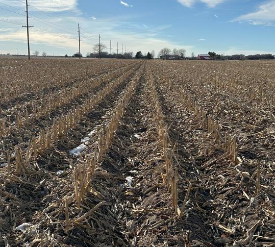
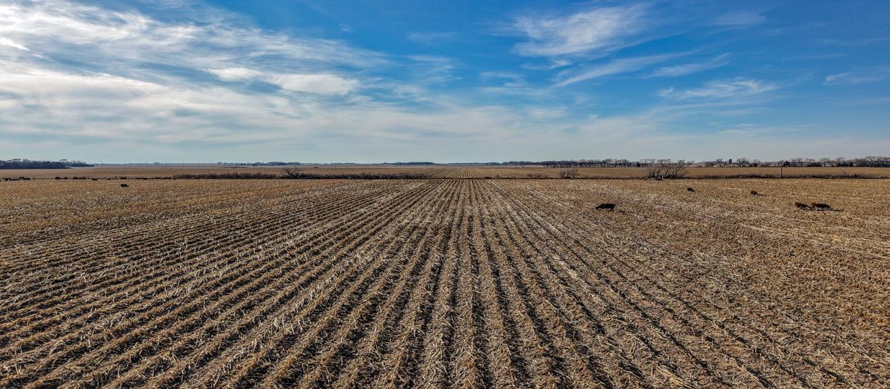
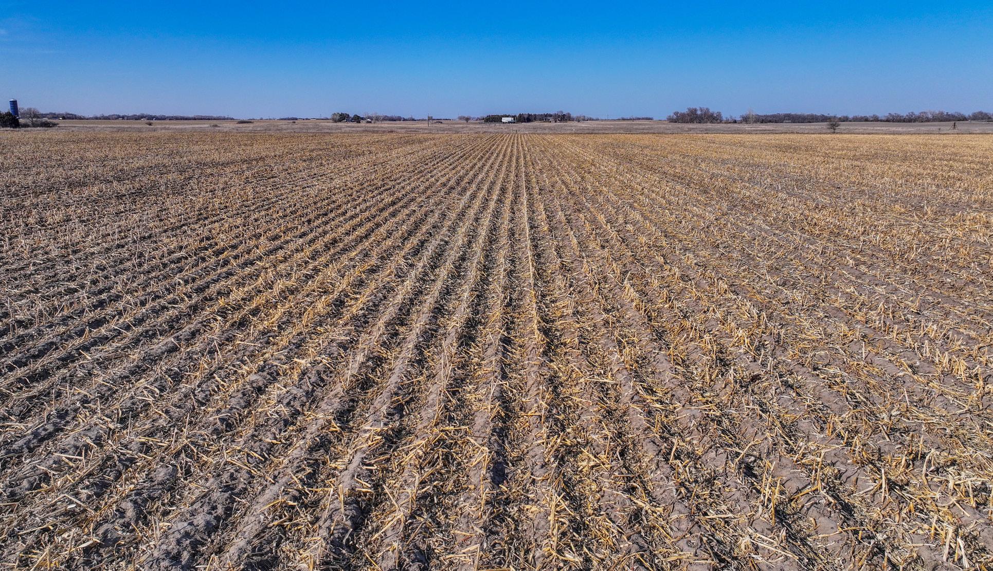
SOILS: Primary soils on the property consist of Libory loamy fine sand and Wood River-Silver Creek fine sandy loams, with slopes ranging from 0-3%.
NRD: 65.99 certified irrigated acres reported by the Central Platte Natural Resources District.
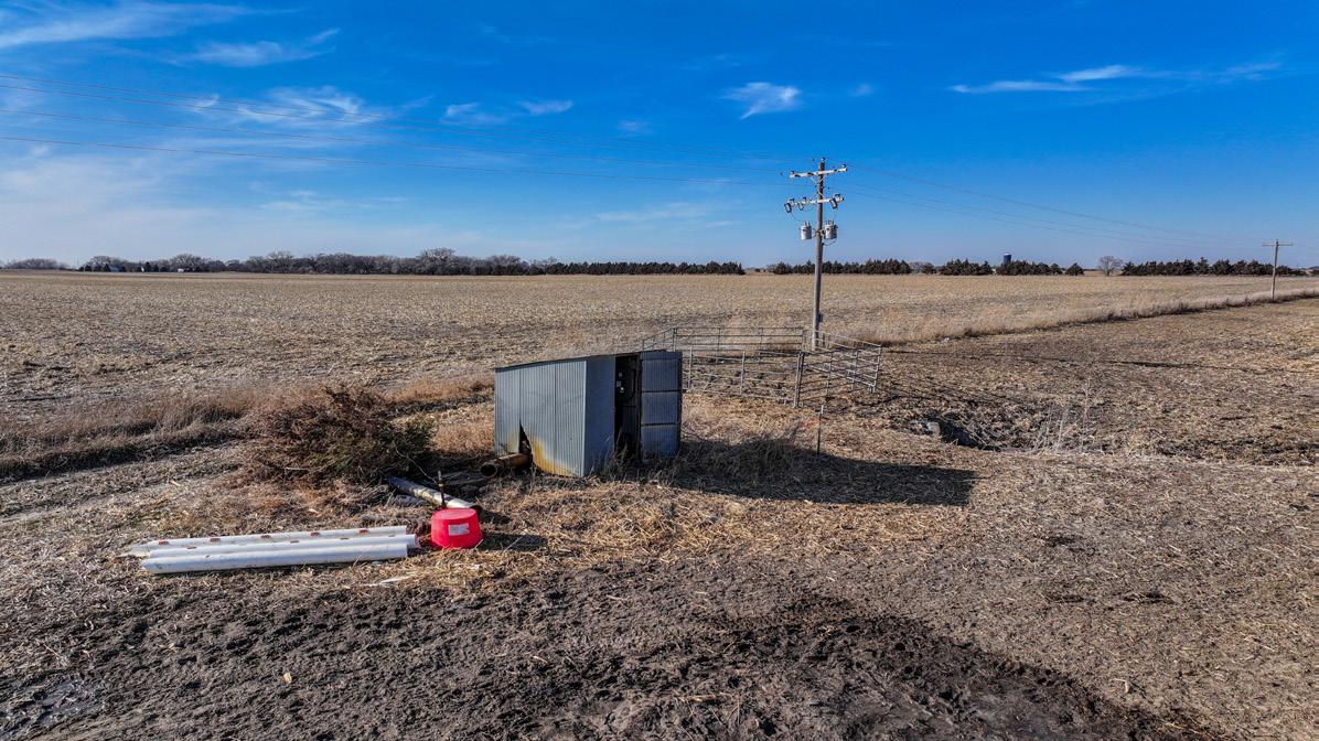
WELL INFORMATION:
FSA INFORMATION:
Electric Wells with Panels
Well Registration - G-012377
● Completion Date - 5/13/2021
● Well Depth - 70 feet
● Static Water Level - 8 feet
● Column - 8 inches
● Gallons/Minute - 1000 gpm
Total Farmland: 78.41 acres
Government Base Acres: Corn - 64.77
Well Registration - G-160277
● Completion Date - 01/01/1960
● Well Depth - 68 feet
Total Cropland: 64.77 acres
PLC Yields: Corn - 122 bu
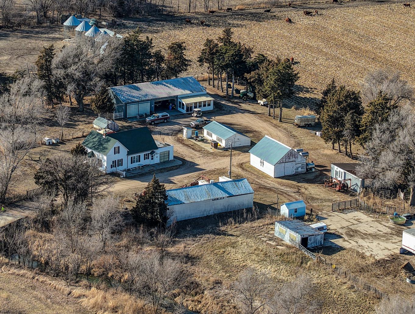
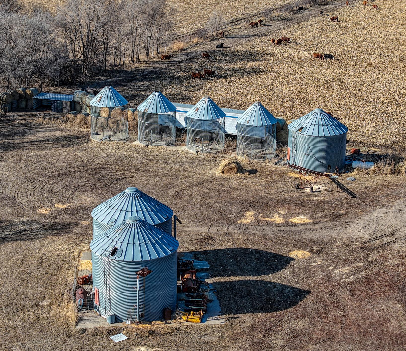
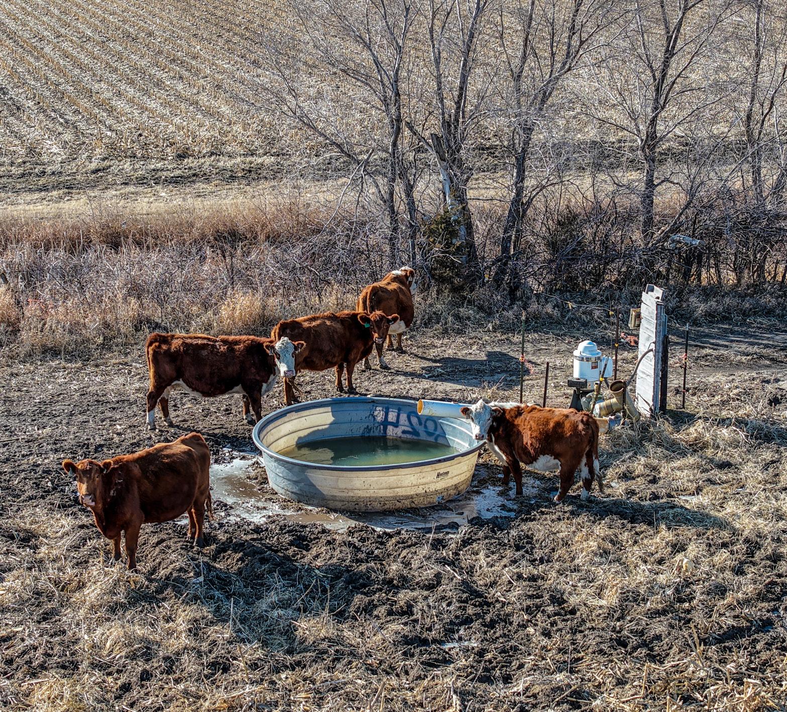
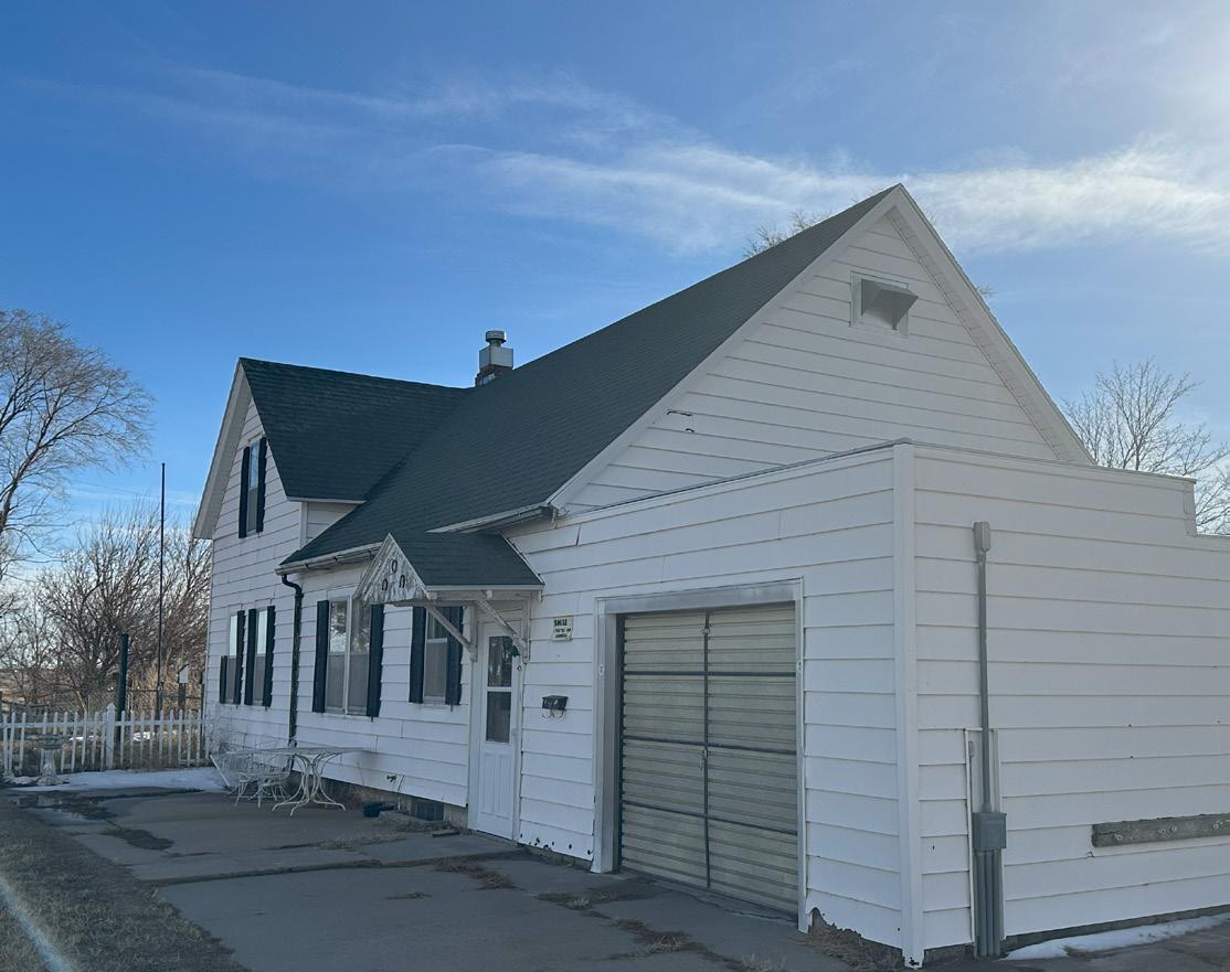
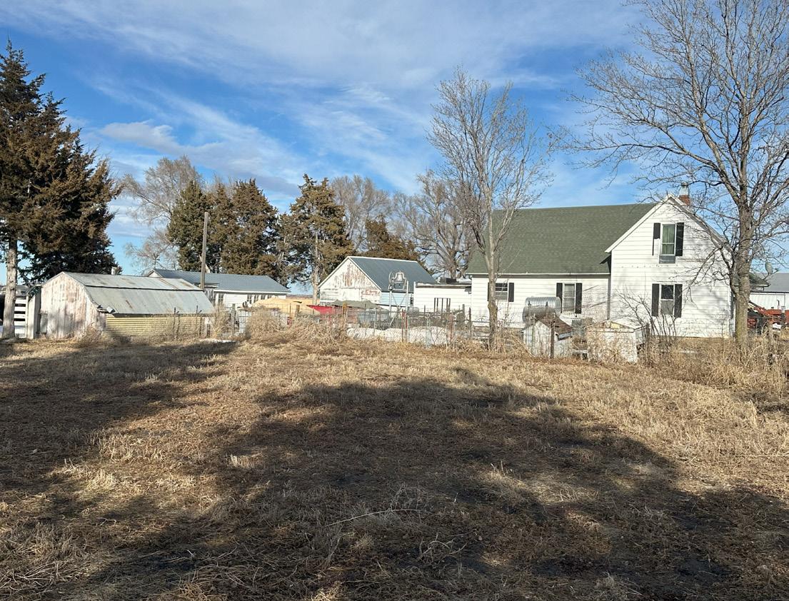
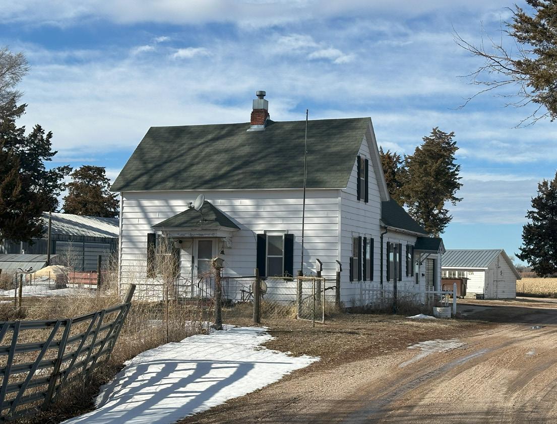
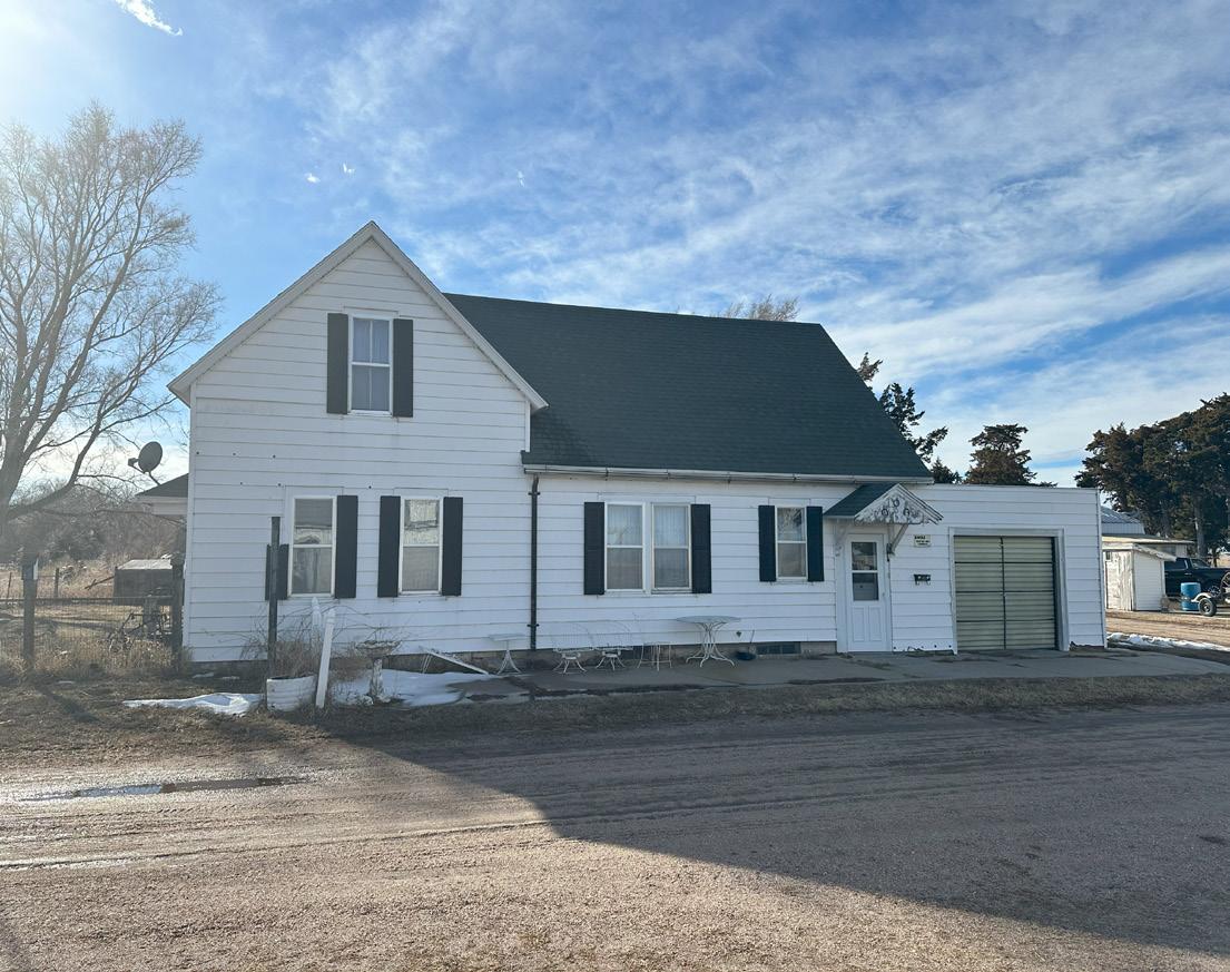
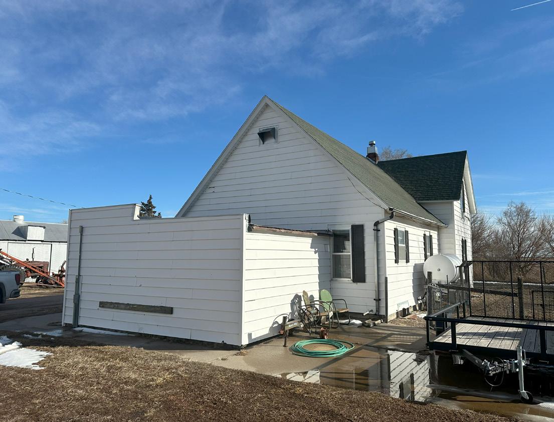
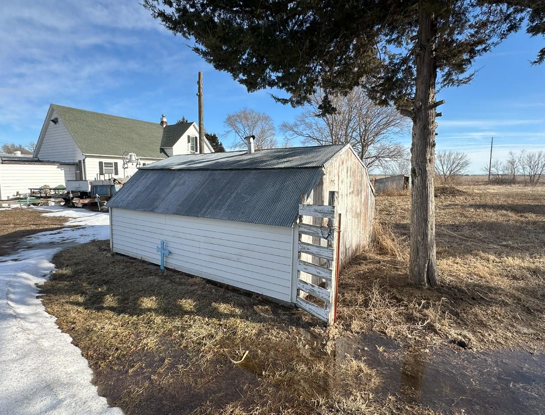
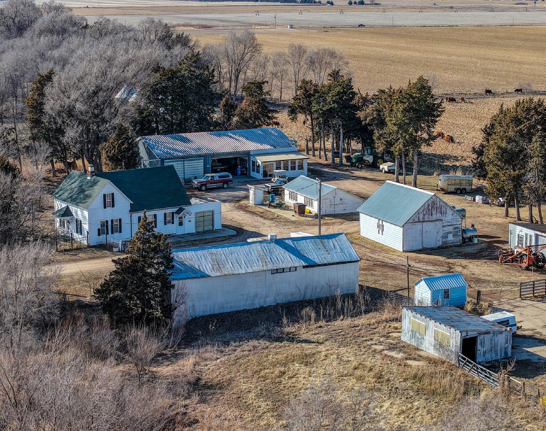
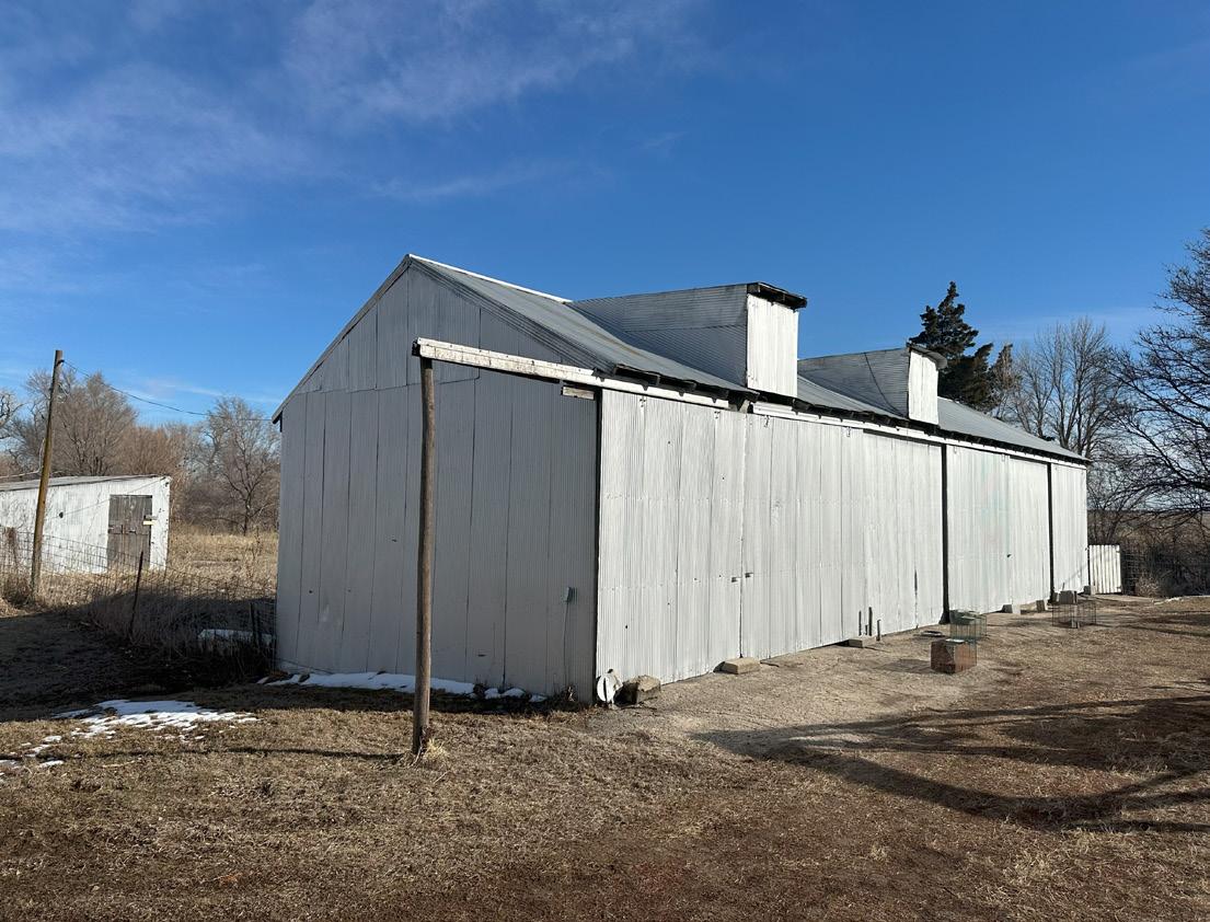
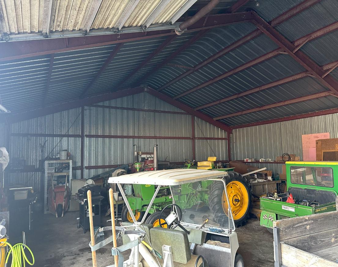
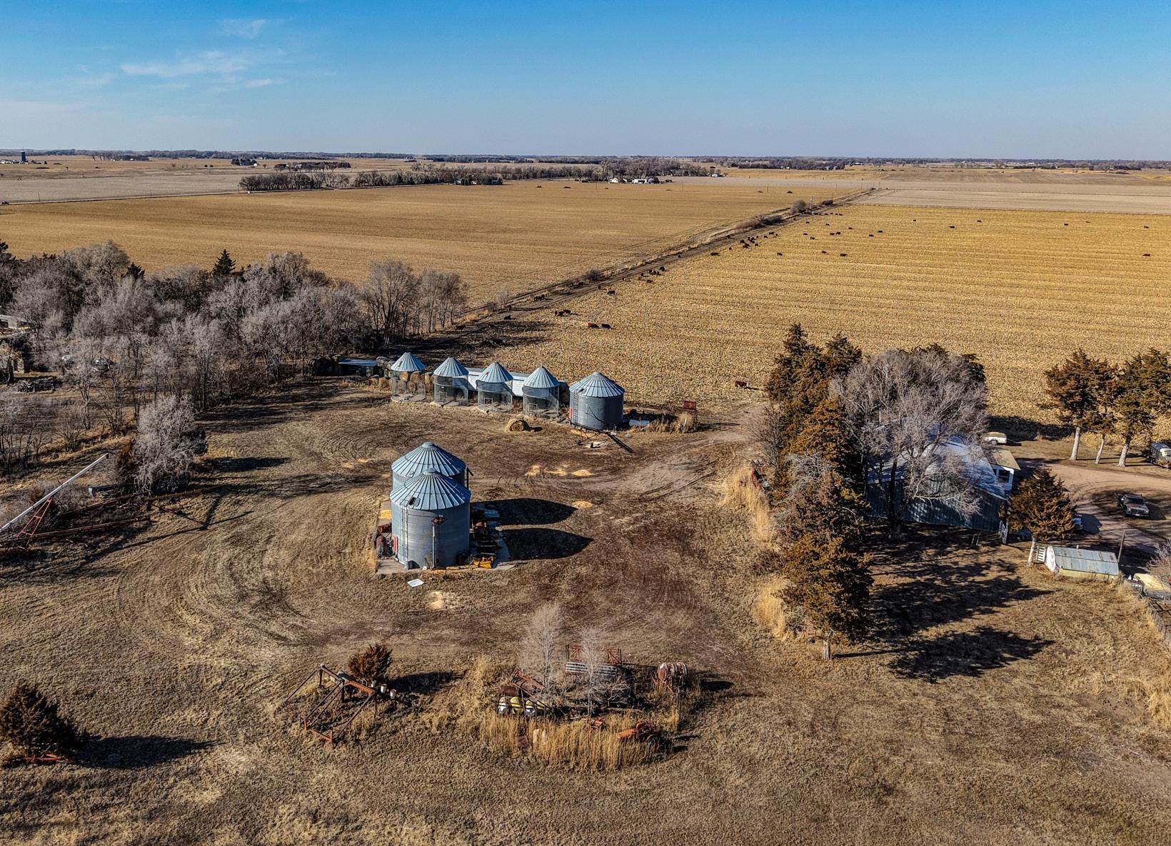
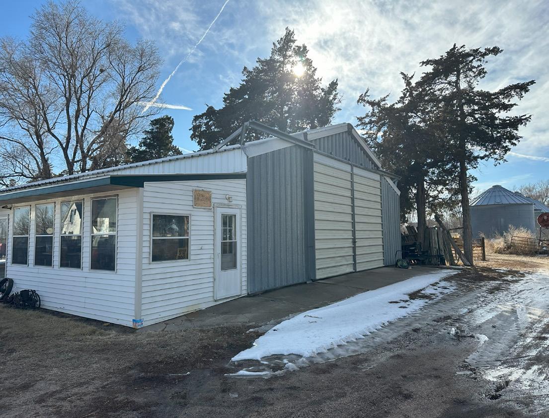
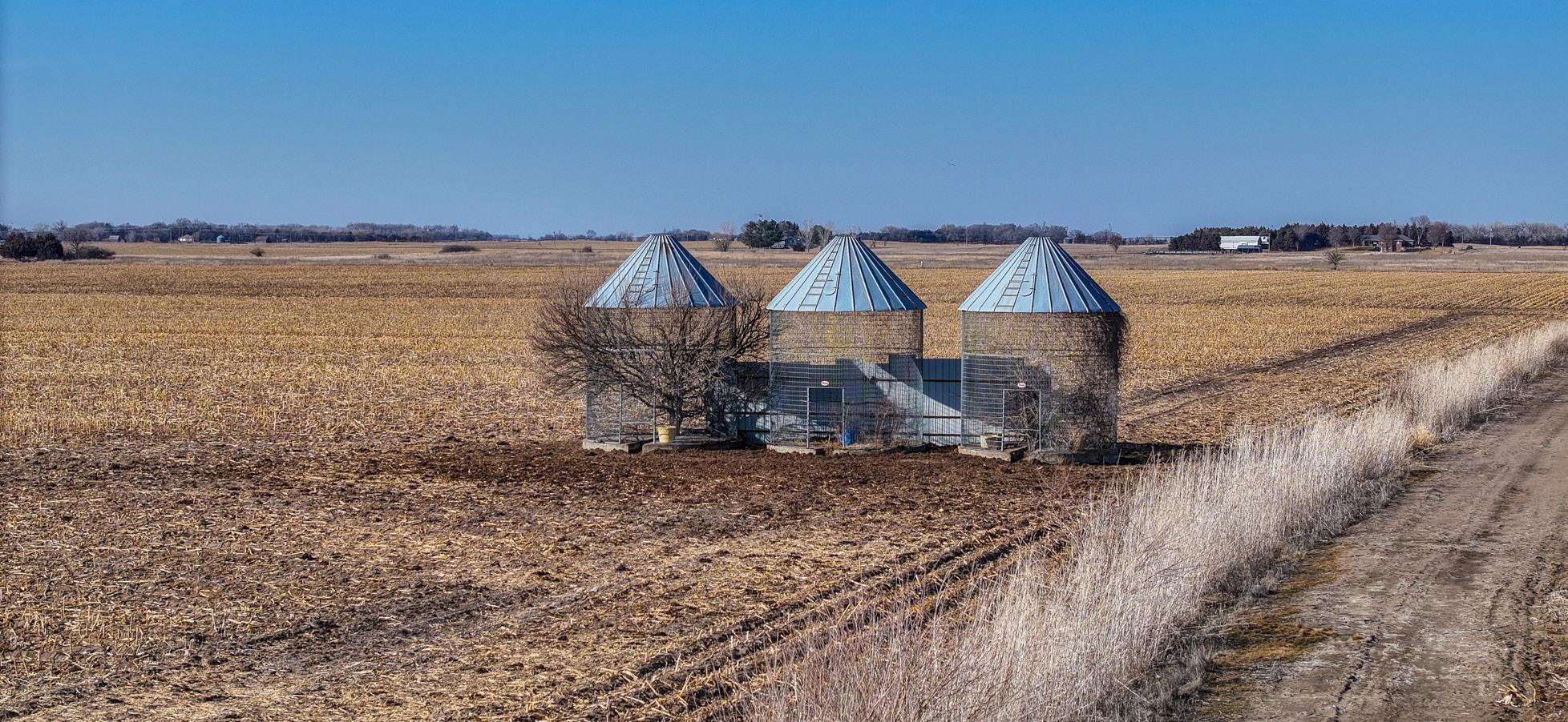
COMMENTS: Productive gravity-irrigated cropland to the North (Parcel 1), and a perfect farm-yard setting to the South (Parcel 2) with:
♦ 1,304 square foot farmhouse with an attached garage
♦ 3 - grain bins
♦ 1 - 10 x 9 shed
♦ 1 - 12 x 8 shed
♦ 3 - metal machine sheds
♦ 1 - Barn
Note that if parcels sell separately, an access easement will be needed for Parcel 1. PRICE: $860,000.00 - 78.4 ± total acres
Parcel 1: $535,000.00 - 60.75 ± cropland acres Parcel 2 : $325,000.00 - 17.65 ± acres building site

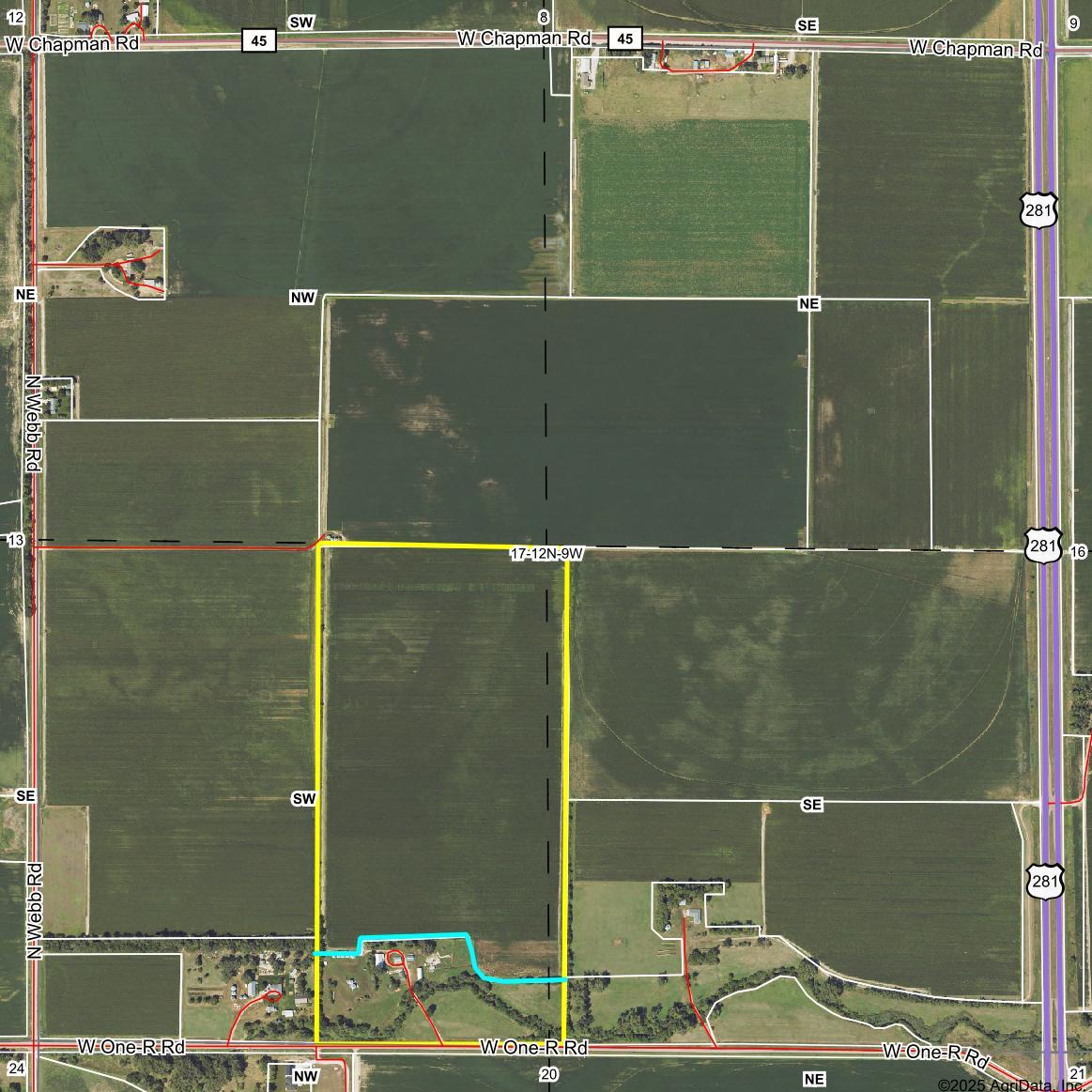


LEGAL DESCRIPTION: The West Half of the Southeast Quarter (W1/2SE1/4) of Section Thirteen (13), Township Twelve (12) North, Range Ten (10) West of the 6th P.M., Hall County, Nebraska.
LOCATION: From Grand Island, Nebraska: 3 miles north on Highway 281, then 11/4 mile west on One-R Road West, to the southeasterm corner of the property.
ACRES & TAXES: Tax-Assessed Acres | 77.83 ± acres
2024 Real Estate Taxes | $2,433.04
LEASES: Cropland leased for the 2025 growing season.
SOILS: Primary soils on the property consist of Ovina fine sandy loam and Libory loamy fine sand, with slopes ranging from 0-3%.
NRD: 78.16 certified irrigated acres reported by the Central Platte Natural Resources District.
WELL INFORMATION: Electric Wells
Well Registration - G-014917
● Completion Date - 8/19/1999
● Well Depth - 71 feet
● Static Water Level - 8 feet
● Column - 8 inches
● Gallons/Minute - 1,000 gpm
FSA INFORMATION:
Total Farmland: 78.16 acres
Government Base Acres: Corn - 78.16
Well Registration - G-032021
● Completion Date - 8/21/1969
● Well Depth - 79 feet
● Static Water Level - 11 feet
● Column - 8 inches
● Gallons/Minute - 1,000 gpm
Total Cropland: 78.16 acres
PLC Yields: Corn - 122 bu
COMMENTS: Very productive gravity irrigated cropland with abundant water and excellent access. Great center pivot irrigation potential!
PRICE: $638,000.00

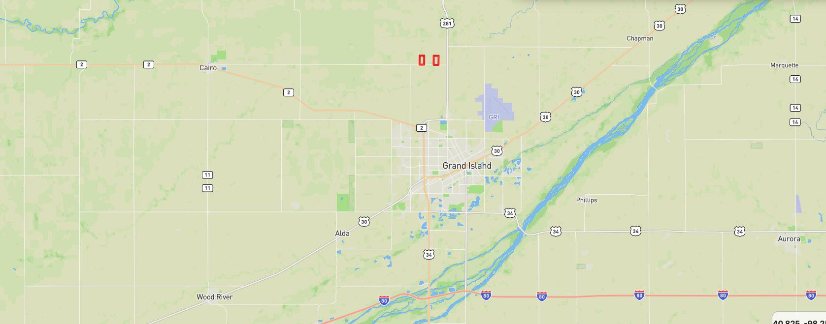
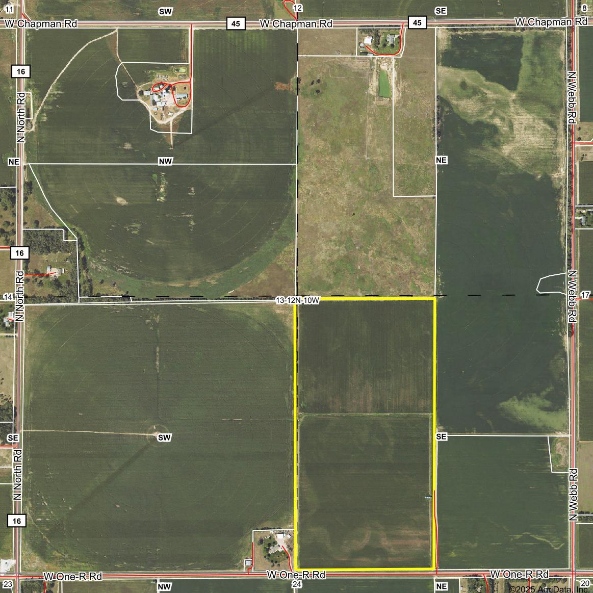


This property consists of three parcels located just minutes from the north edge of Grand Island, Nebraska, all situated on a hard-surfaced road. The properties feature highly productive cropland, abundant water and an excellent rural farmstead!