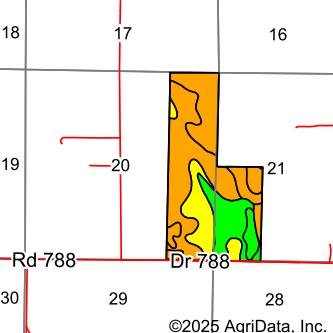


Location: From Callaway, travel south on NE-21B Spur for half a mile. Turn west onto Highway 40 and continue for one mile. Turn south onto Cozad Road and travel for another mile. Finally, turn west on County Road 788, travel half a mile to reach the southern border of the property.

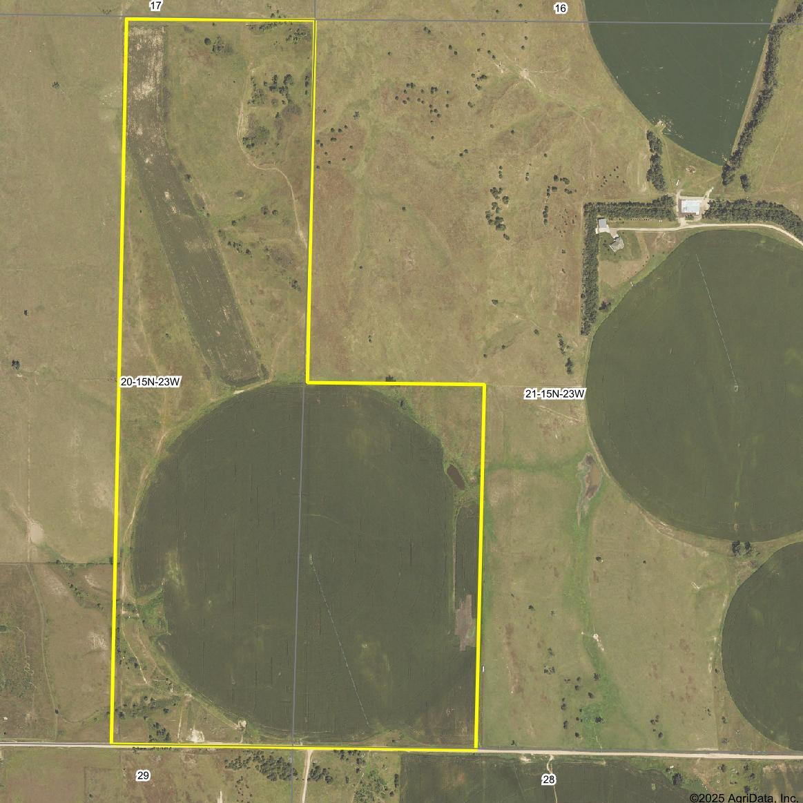
LEGAL DESCRIPTION: E1/2E1/2 Section 20; W1/2SW1/4 Section 21 all in Township 15 North, Range 23 West of the 6th P.M. in Custer County, Nebraska.
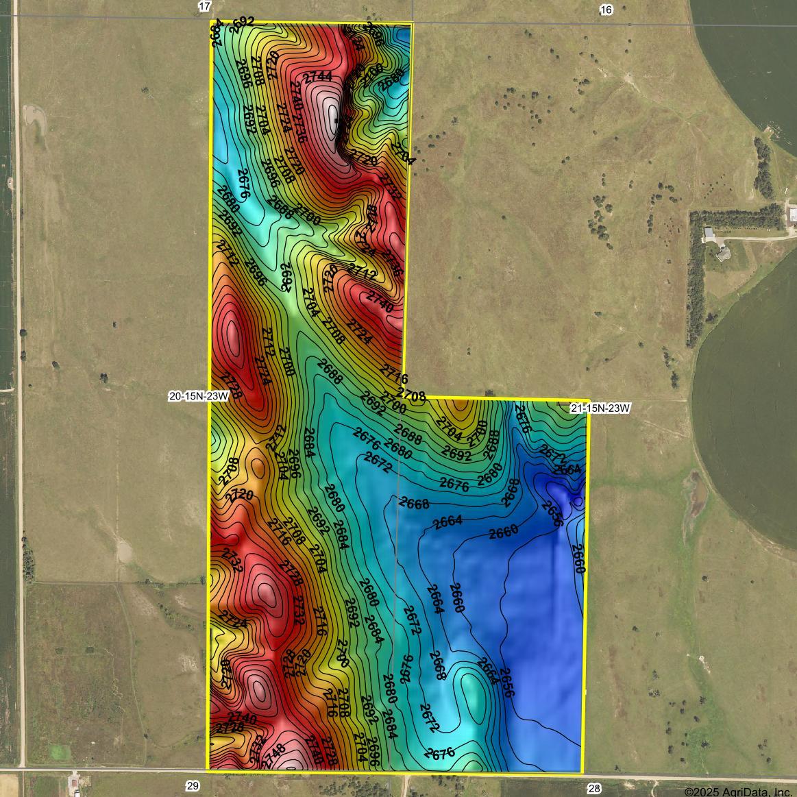
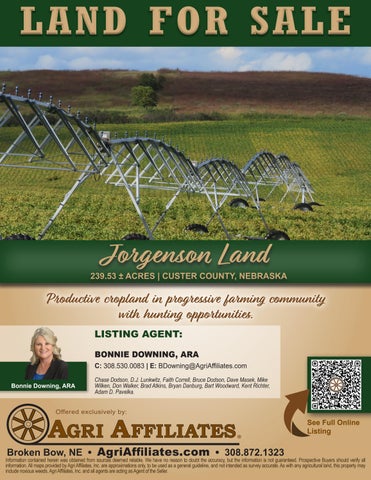
ACRES & TAXES: 239.53 Tax-assessed acres. 2024 Real estate taxes due in 2025: $3,298.30
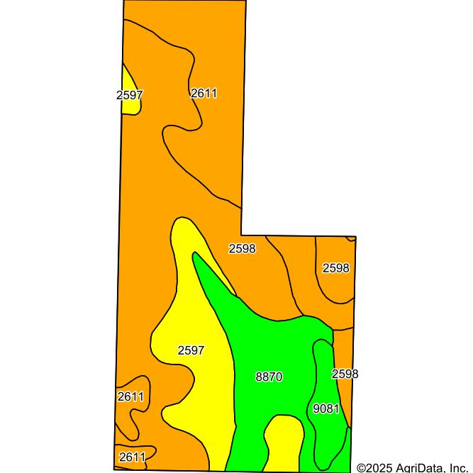
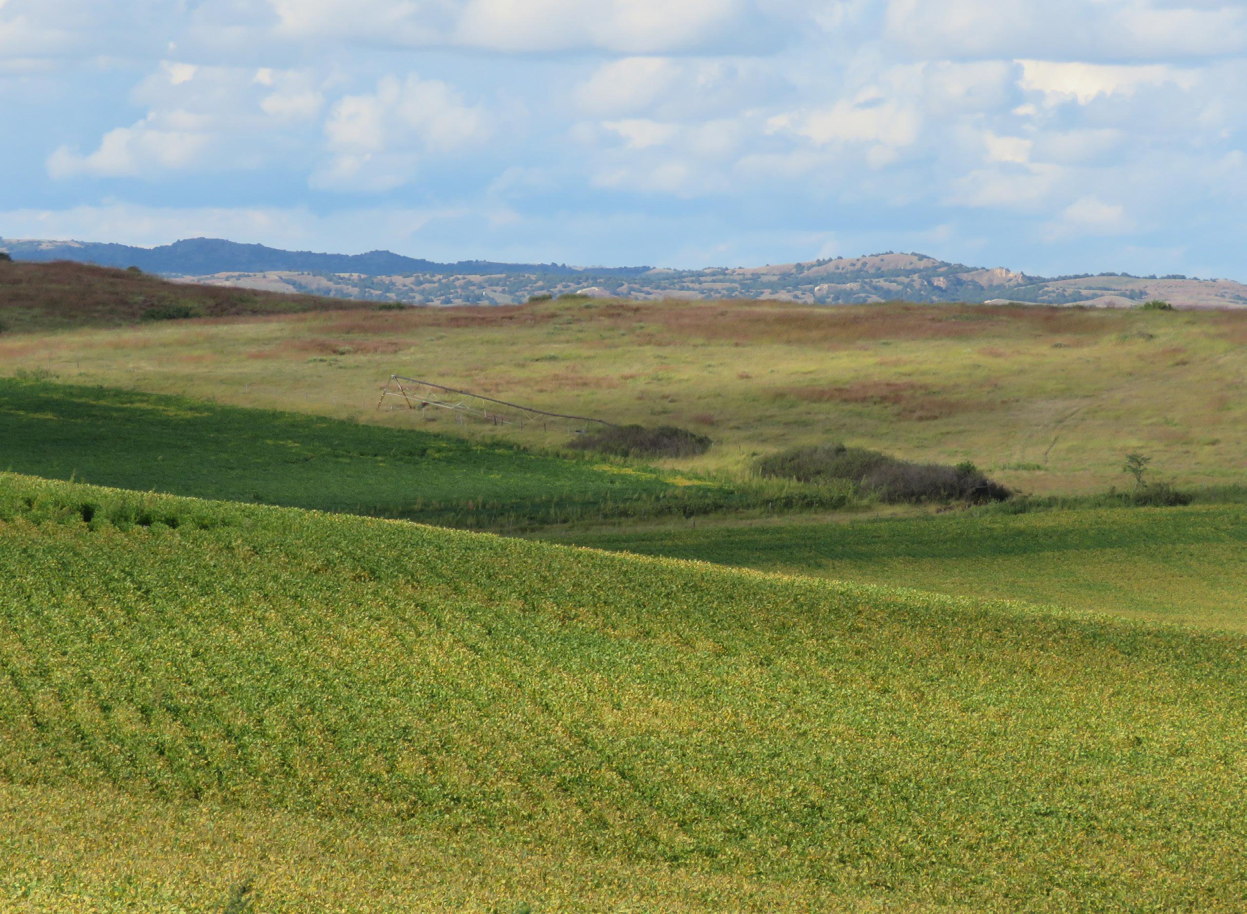
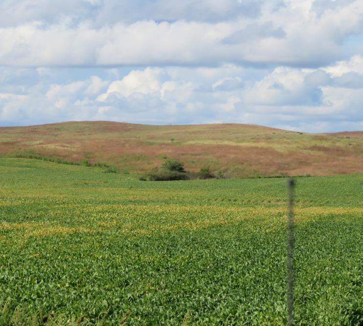
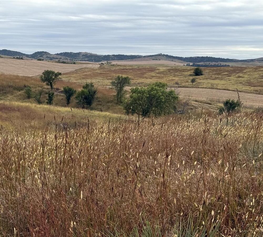
ASSESSOR LAND USE: 117.96 acres
acres
acres
acres Irrigated Cropland Grass/Rangeland Dry Cropland Roads/Waste
USDA-FSA INFORMATION: Unable to provide FSA information at this time.
NRD: Contains 117.96 Certified Irrigated Acres in the Lower Loup Natural Resources District
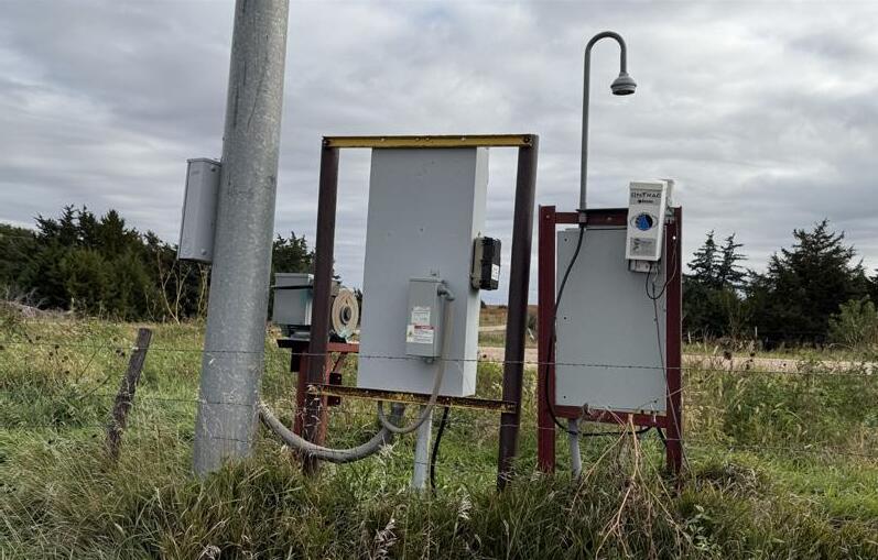
WELL REGISTRATIONS: G-103000, G-164625, plus an additional non-registered stock well.
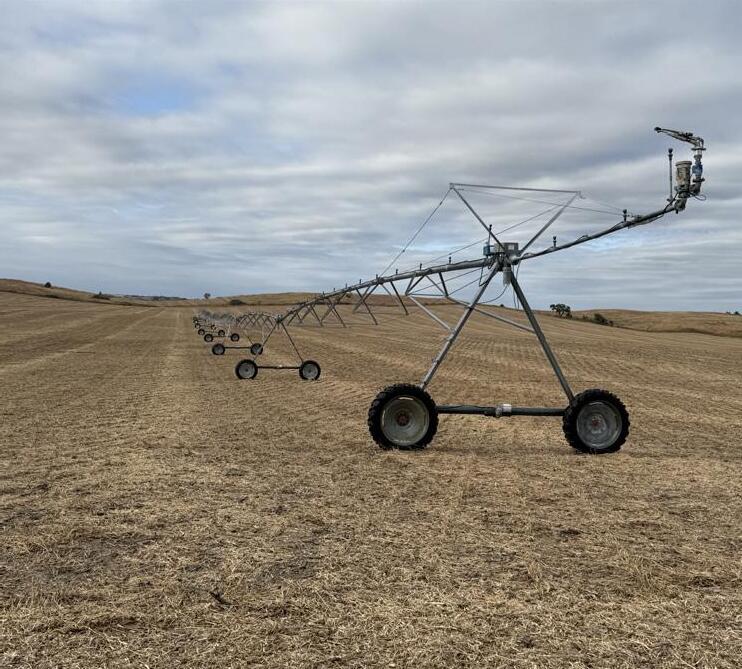
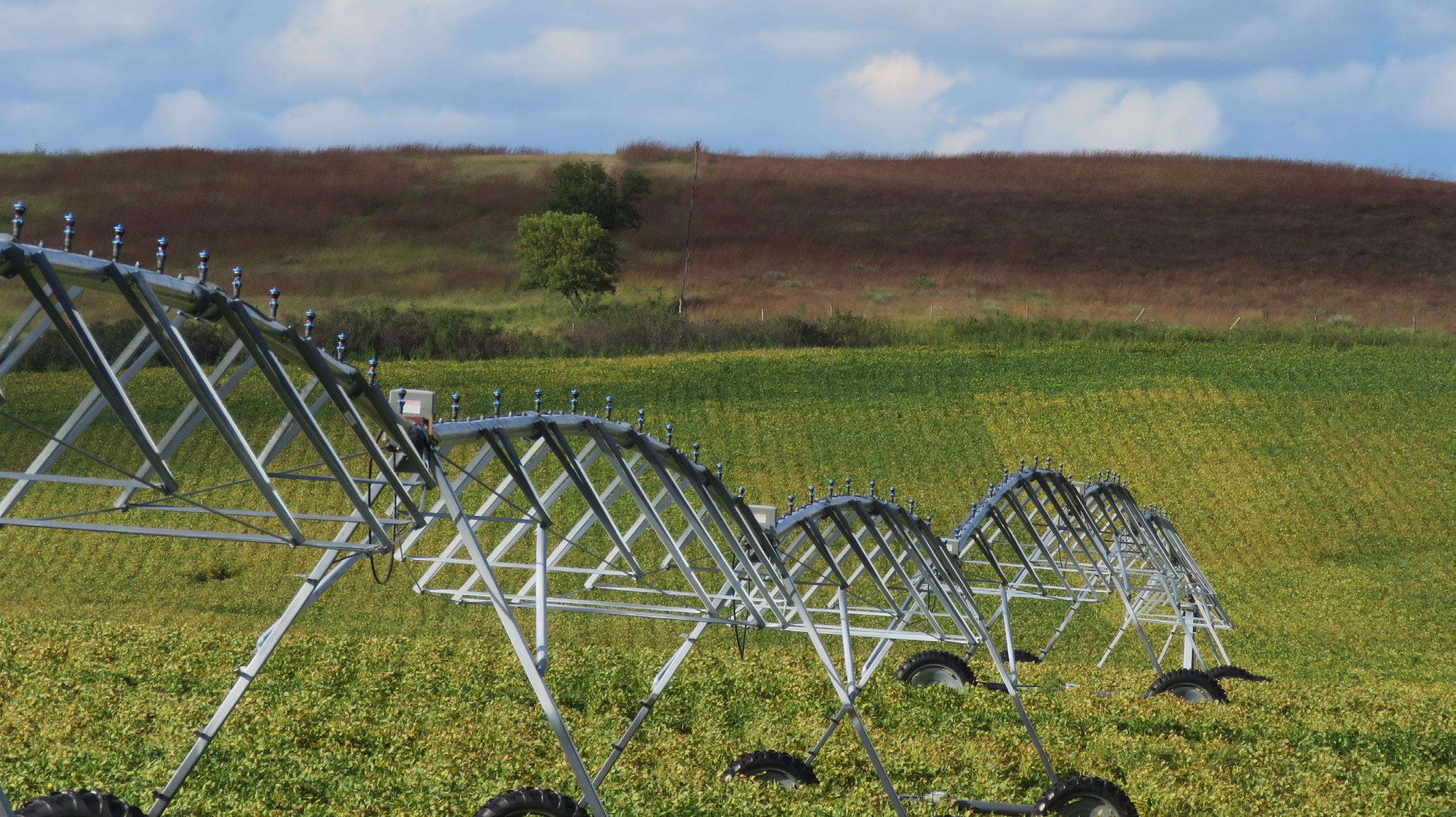
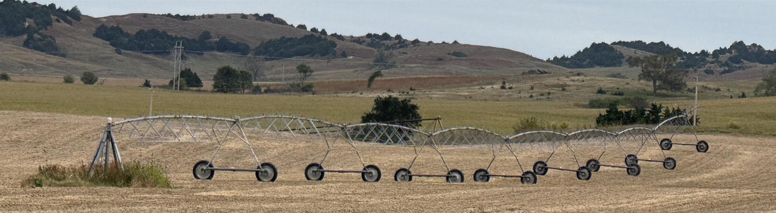
EQUIPMENT: 8-tower Reinke Pivot, electric motor; Isuzu diesel motor with Western Land Roller pump.
POSSESSION & LEASE: Possession at closing, subject to existing verbal farm & pasture lease ending 2/28/2026. PRICE: