


Offered exclusively by: North Platte, NE • AgriAffiliates.com • 308.534.9240 Information contained herein was obtained from sources deemed reliable. We have no reason to doubt the accuracy, but the information is not guaranteed. Prospective Buyers should verify all information. All maps provided by Agri Affiliates, Inc. are approximations only, to be used as a general guideline, and not intended as survey accurate. As with any agricultural land, this property may include noxious weeds. Agri Affiliates, Inc. and all agents are acting as Agent of the Seller. LAND FOR SALE 3,042 ± ACRES | BROWN COUNTY, NEBRASKA Johnstown Pivots TAKE A TOUR Bart Woodward, ARA Bruce Dodson, AFM BART WOODWARD, ARA C: (308) 233-4605 E: Bart@AgriAffiliates.com BRUCE DODSON, AFM C: (308) 539-4455 | E: Bruce@AgriAffiliates.com Bonnie Downing, Bryan Danburg, Dallas Dodson, Chase Dodson, D.J. Lunkwitz, Don Walker, Brad Atkins, Dave Masek, Faith Correll LISTING AGENTS:
LEGAL DESCRIPTION:
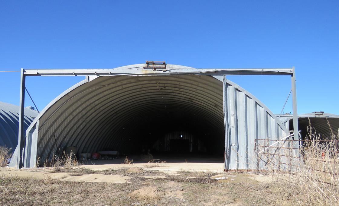
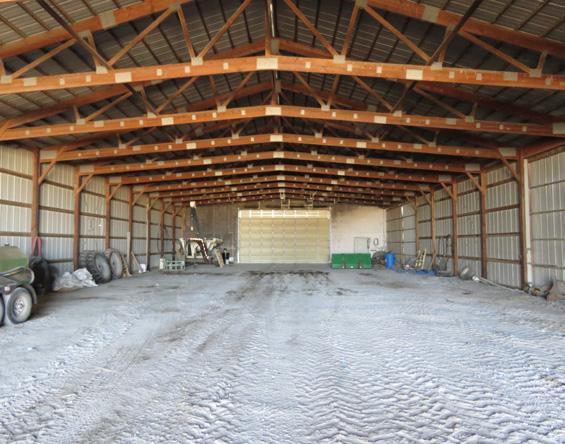
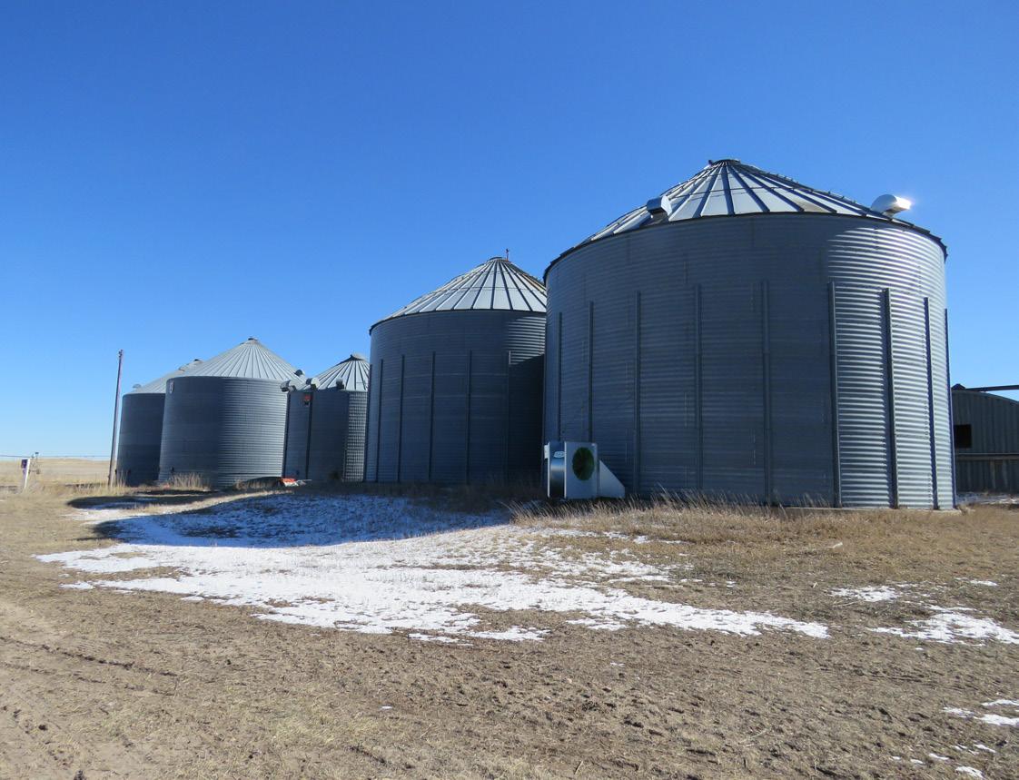
PROPERTY INFORMATION
SW1/4 and Part SE1/4 of Section 9, that part lying South of Highway 20 in N1/2SW1/4 and Part S1/2SW1/4 lying South of Highway 20 right of way Section 10, NW1/4 Section 15, NE1/4 Section 17-T30N-R24W.
And
A tract on Part SE1/4 Section 34, All of Section 35-T30N-R24W; S1/2S1/2 Section 1, All of Section 2, E1/2E1/2 less a tract Section 3, NE1/4 & E1/2NW1/4 Section 11, N1/2 Section 12-T29N-R24W of the 6th P.M. in Brown County, Nebraska
LOCATION:
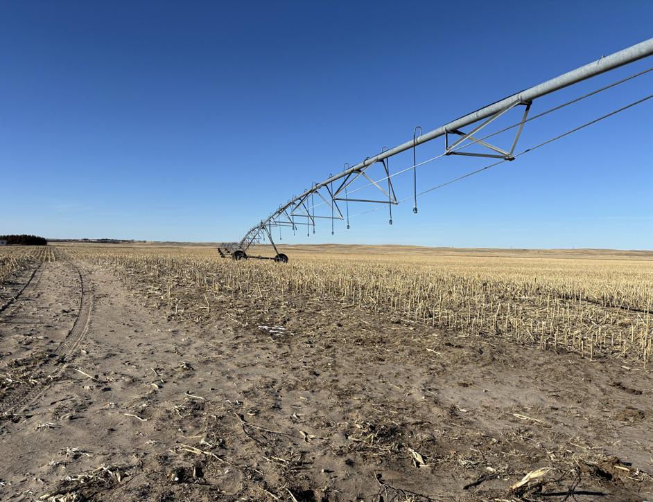
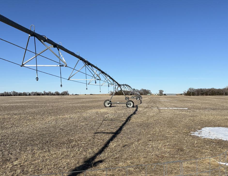
North Pivots are located directly off of Highway 20, approximately 3½ miles west of Johnstown.
South Pivots are located approximately 1½ miles west of Johnstown on Highway 20 and approximately 3½ miles south on 419th Rd/Southwest Rd.
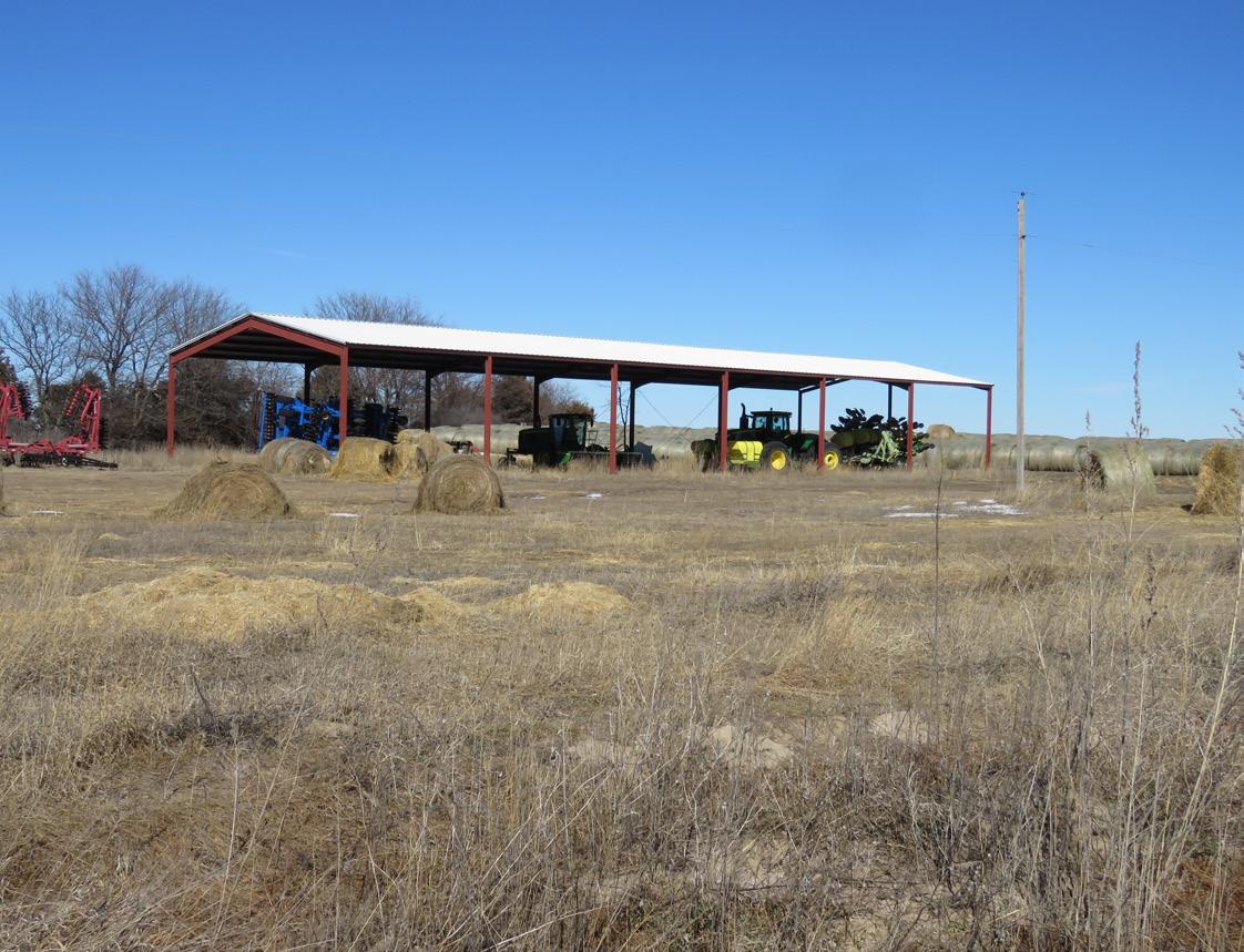
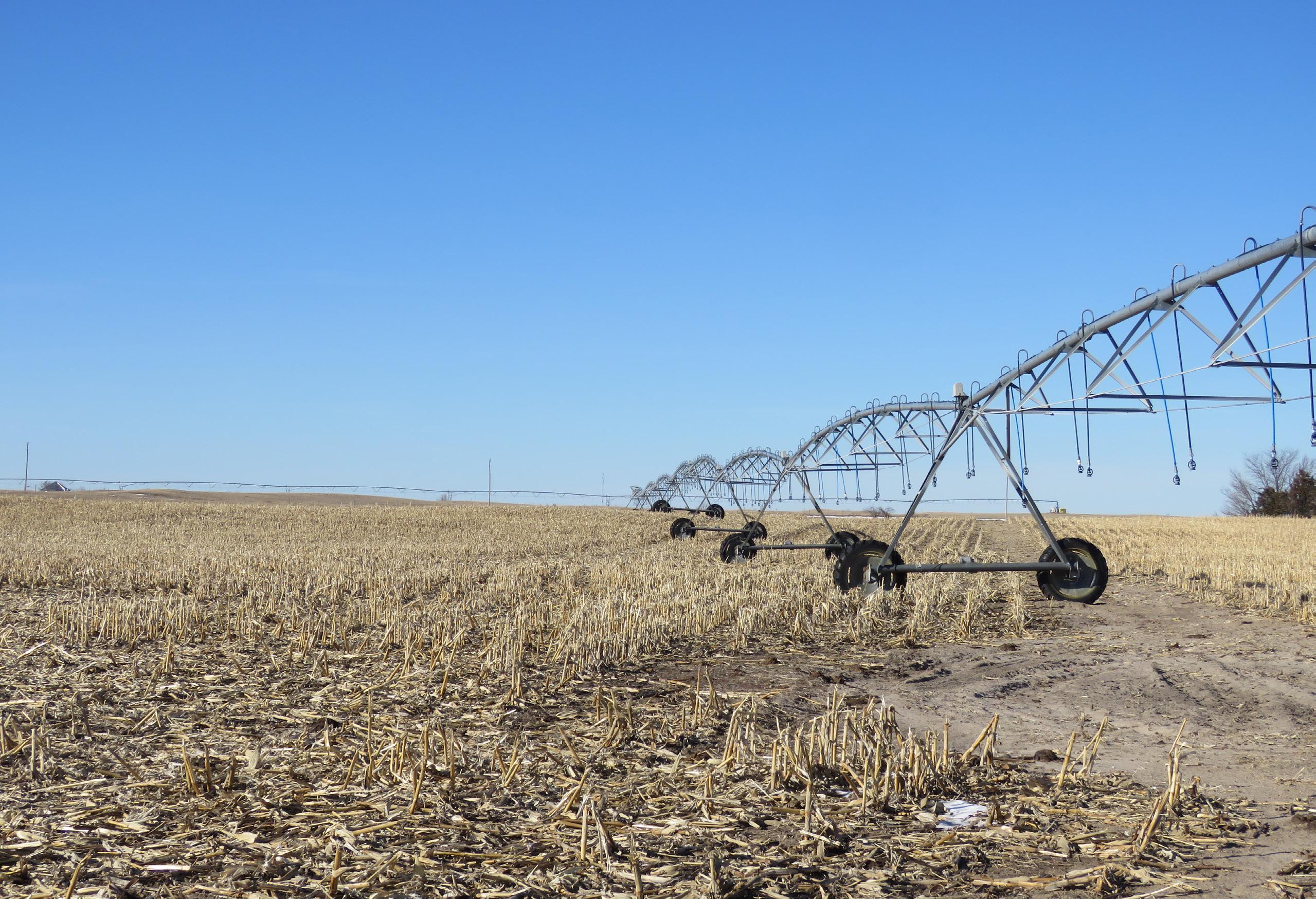
ACRES & TAXES: 3,042 Total Acres
2023 Taxes Payable in 2024: $76,688.24
LAND USE:
NATURAL RESOURCES DISTRICT (NRD):
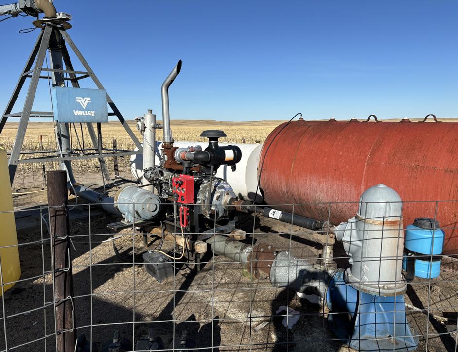
WELL REGISTRATIONS:
1,935 Irrigated Acres, as reported by the county assessor.
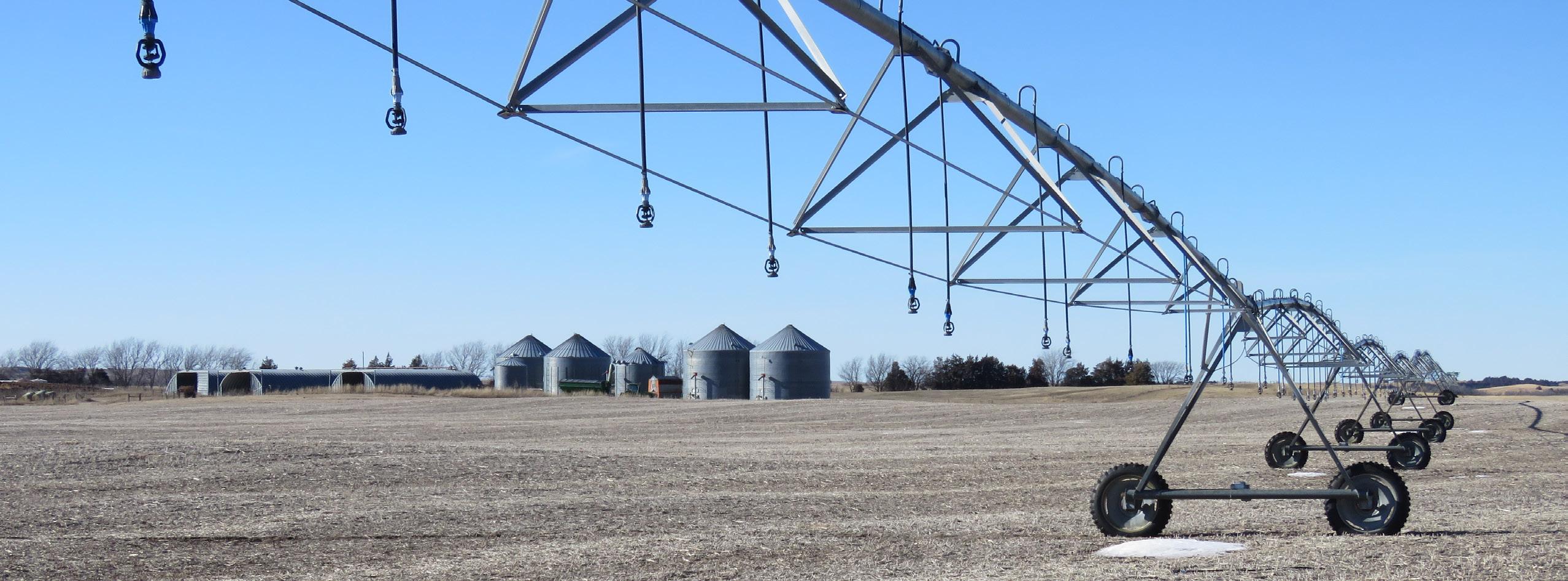
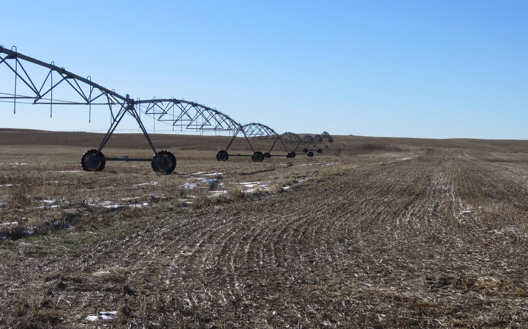
- 14 Center Pivots
954 Grass Acres
Contains 2,185.44 certified irrigated acres with the Middle Niobrara NRD
PRICE:
South Pivots Contain Well Registrations: G-038124, G-038125, G-038126, G-038127, G-038322, G-038323, G-038324, G-038325, G-041575, G-041576, G-049511, G-062331, G-087378, G-091672, G-131693, G-131694, G-131695
North Pivots Contain Well Registrations: G050738, G-050739, G-050740, G-050742, G-119351
$8,880,000.00
PRICE REDUCED! $8,460,000.00
Harness the potential of Johnstown Farm with its location, irrigation infrastructure, and natural resources to support various agricultural activities.
AGRIAFFILIATES.COM

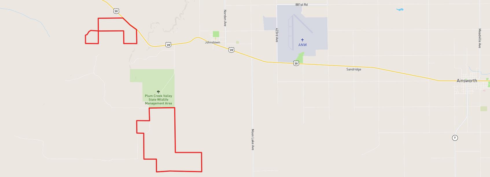


LOCATION & MAPS 20 AINSWORTH 877TH RD S WEST RD 20 20 JOHNSTOWN S WEST RD BEEL LN
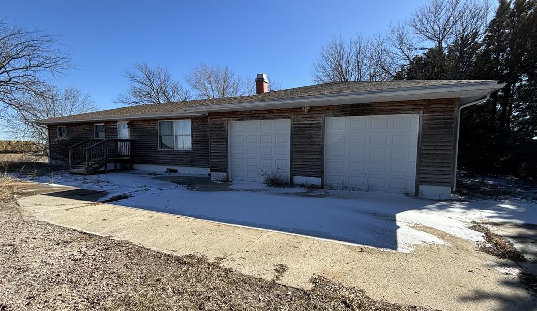
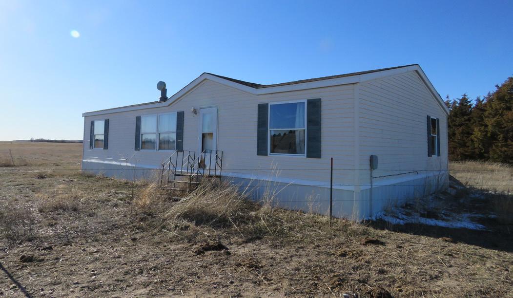
3 Bedroom, 1,840 sq. ft. home, built in 1977, with 672 sq. ft. attached garage. Brown County Assessor shows additional 1,456 sq. ft. basement area.
3 Bedroom, 1,296 sq. ft. mobile home, built in 1996.
AGRIAFFILIATES.COM
NORTH PIVOTS | MAPS AERIAL MAP
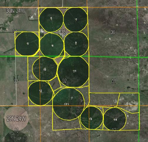
SOUTH PIVOTS | MAPS AERIAL MAP
SOIL MAPS & INFORMATION
NORTH PIVOTS
SOUTH PIVOTS
Soil Description Acres Percent of field NonIrr Class Legend Non Irr Class *c "Irr Class *c" Valentine Complex, 0 to 24 percent slopes, moist 1109.71 57.7% VIe Elsmere Complex loamy fine sand, 0 to 3 percent slopes 413.62 21.6% IVw IVw Tryon loamy fine sand, 0 to 3 percent slopes 76.90 4.0% Vw Ipage loamy fine sand, 0 to 3 percent slopes 108.00 5.6% IVe IVe Oneill Complex sandy loams, 2 to 6 percent slopes 46.77 2.4% IVe IVe Simeon, Almeria loamy sand, 0 to 3 percent slopes 48.70 2.6% VIs IVs Pivot, Dunday, Anselmo, Libory loamy sand, 0 to 3 percent slopes 107.28 5.5% IVe IIIe Oneill fine sandy loam, 0 to 2 percent slopes 4.78 0.2% IIc IIs Sandose loamy fine sand, 0 to 3 percent slopes 2.76 0.1% IIIe IIIe Loup fine sandy loam, 0 to 1 percent slopes 1.93 0.1% Vw