


LEGAL
DESCRIPTION:
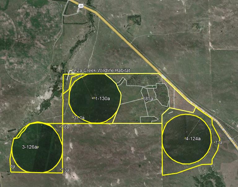
SW1/4 and Part SE1/4 of Section 9, that part lying South of Highway 20 in N1/2SW1/4 and Part S1/2SW1/4 lying South of Highway 20 right of way Section 10, NW1/4 Section 15, Part of NE1/4 Section 17-T30N-R24W of the 6th P.M. in Brown County, Nebraska
LOCATION: Located directly off of Highway 20, approximately 3½ miles west of Johnstown.
ACRES & TAXES: 721 Tax-assessed acres | 2024 Taxes Payable in 2025: $11,382.92 LAND
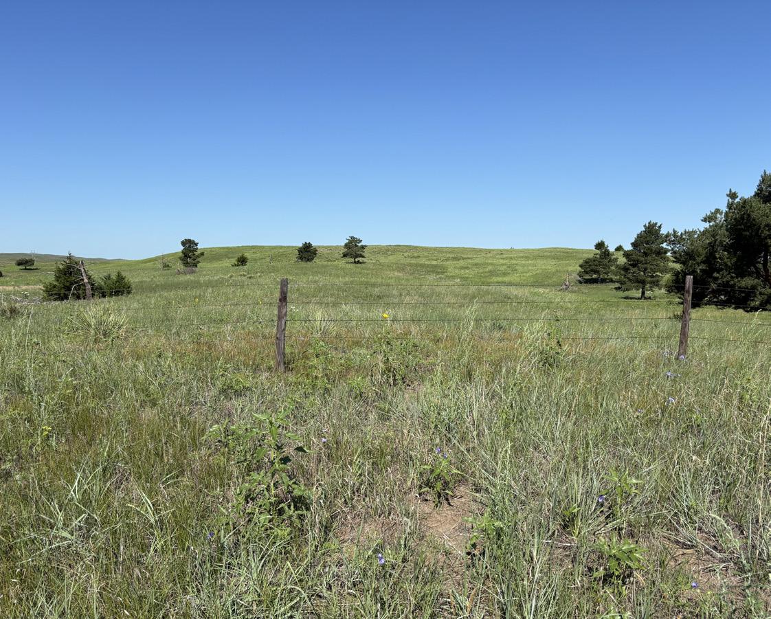
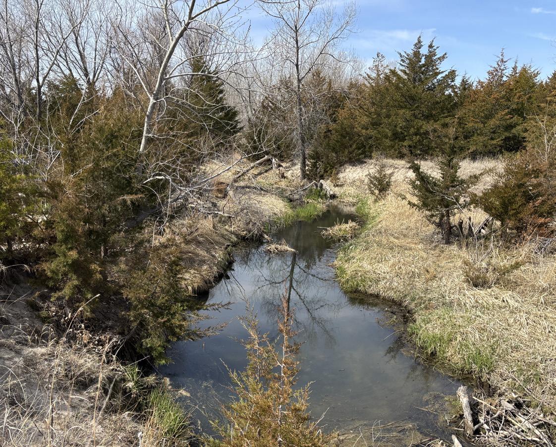
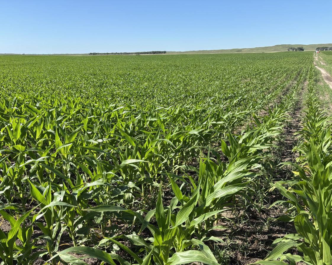
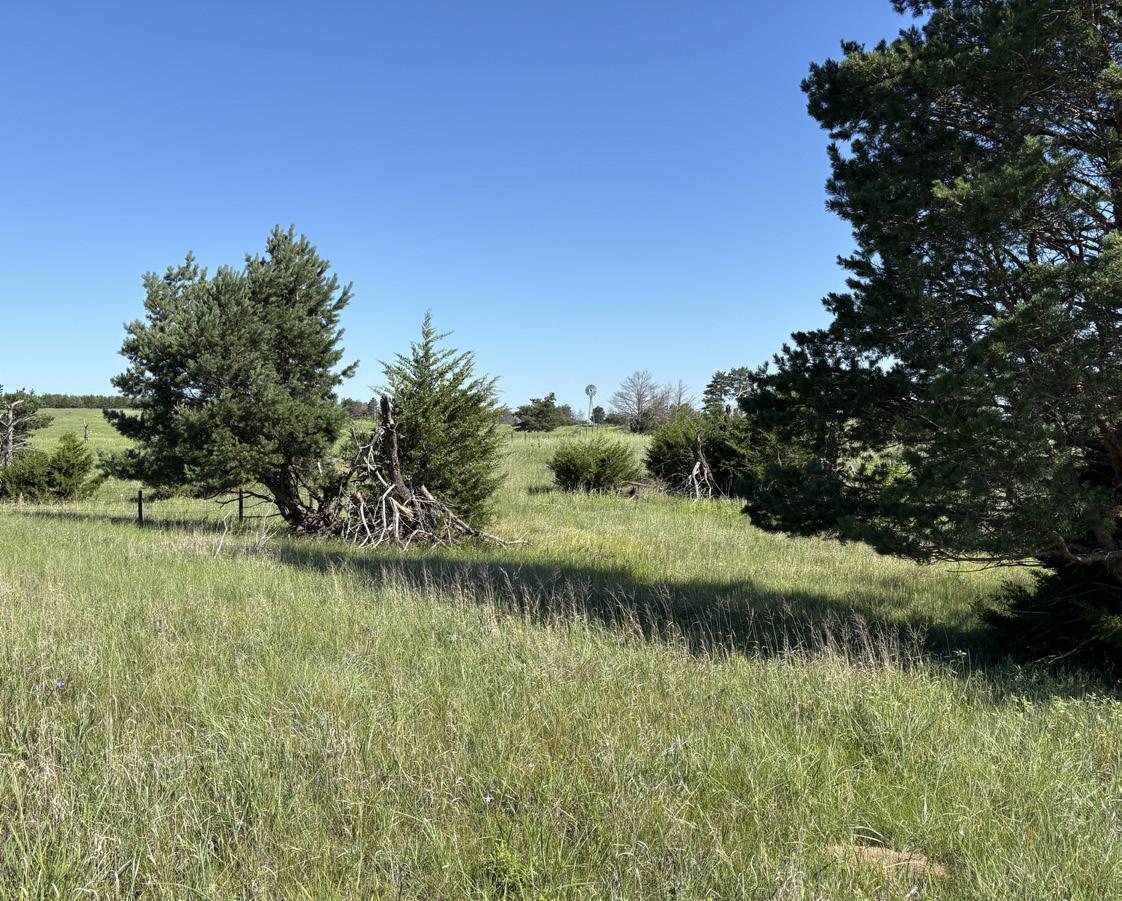
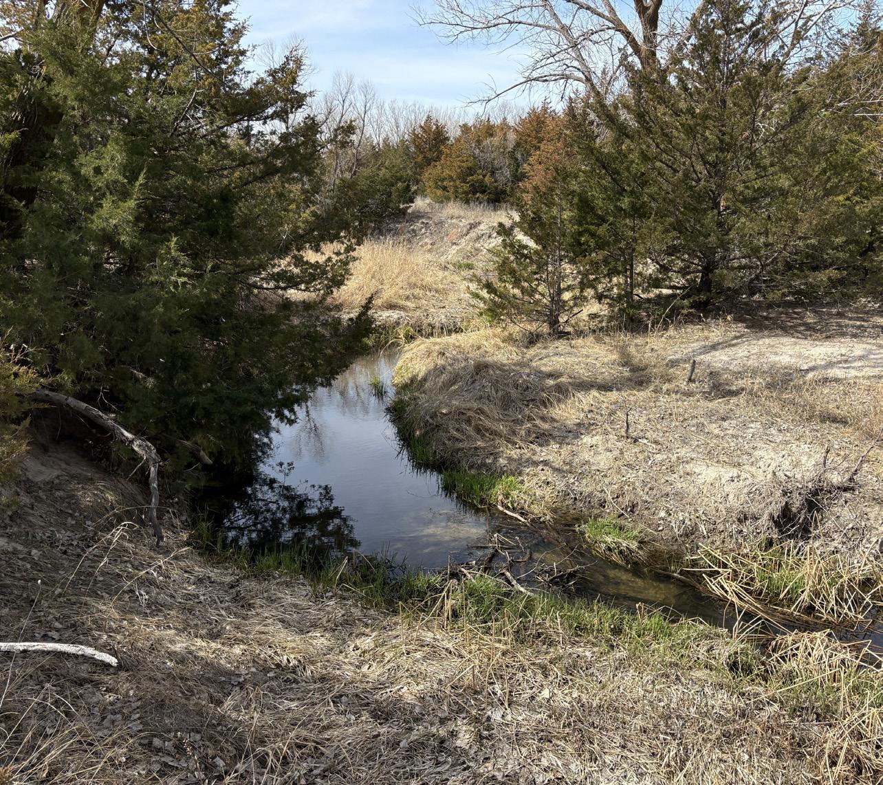
Pivot Irrigated Cropland Rangeland Winter Range Creek/Recreation Trees Site

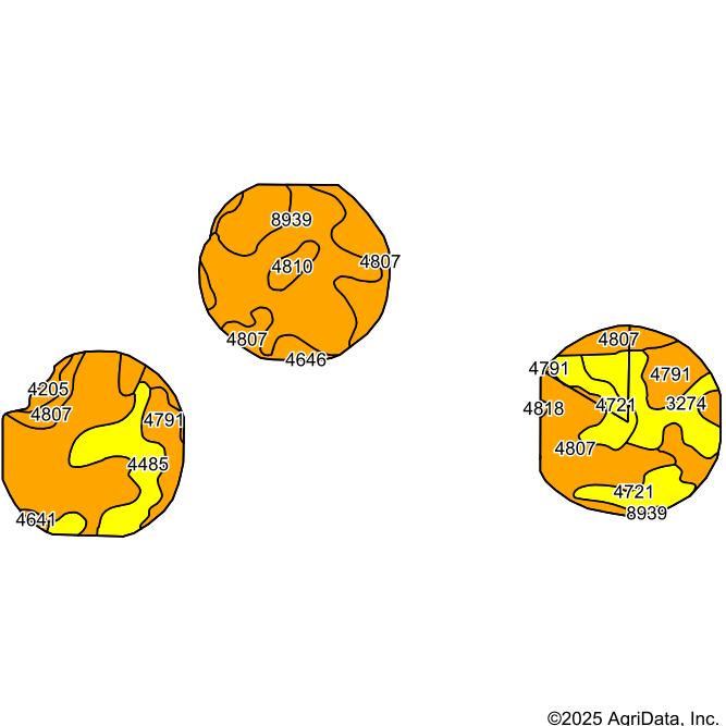
NRD: Contains 548.81 certified irrigated acres with the Middle Niobrara Natural Resources District.
WELL INFO: Registration #: G050738, G-050739, G-050740, G-050742, G-119351
EQUIPMENT: Three center pivots with diesel power units and fuel tanks, seller owned fertilizer tanks, gearheads, and pumps.
SITE: 476 sq. ft. Utility Building, Built in 2004
PRICE: $2,228,000.00