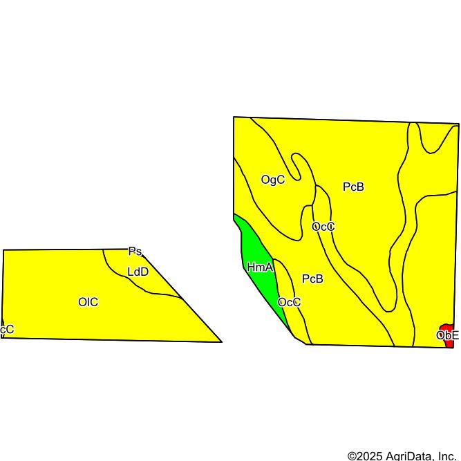
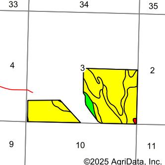
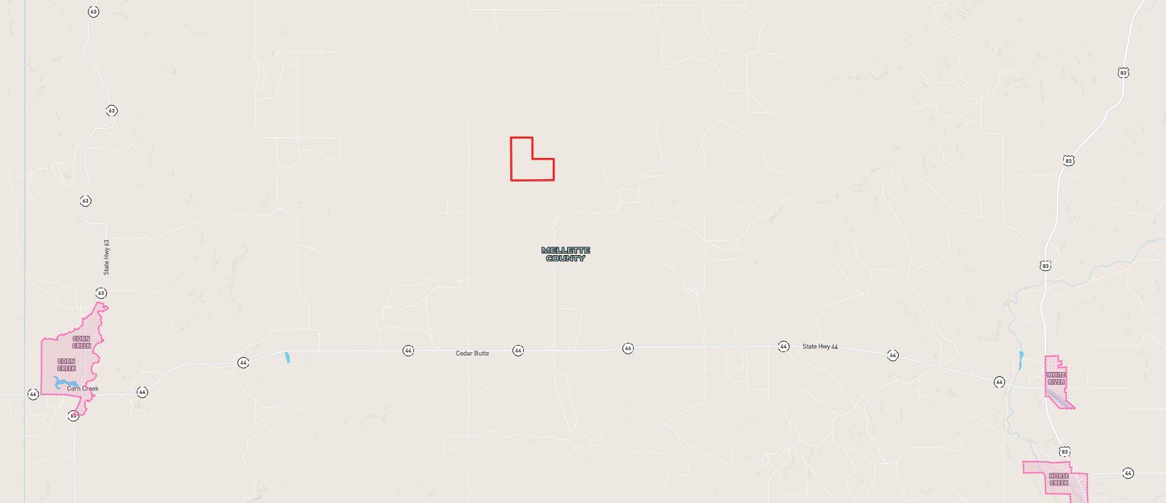
Cedar Butte Farm, South Dakota

Page 1


Location Map

Location & Access

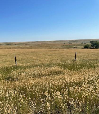
From White River, SD: Travel west on Highway 44 for approximately 13½ miles. Turn north onto Cedar Butte Road and continue for 4½ miles. Then, turn east onto Running Bird Road and follow it for 1 mile—this will lead you directly into the Homestead.

WHITE RIVER
HORSE CREEK
Running Bird Road

Property Details

LEGAL DESCRIPTION: Lots 3 & 4, S1/2NW1/4; SW1/4; SE1/4 all in Section 3, Township 42 North, Range 31 West of the 6th P.M. in Mellette County, South Dakota.

ACRES & TAXES: 477.04 Tax-assessed acres Total 2024 taxes due in 2025: $2,559.58

LAND USE: Dryland, grassland, and building site.

USDA-FSA INFORMATION: 475.91 Farmland acres. 203.16 Cropland Acres. 52 FSA base acres with 37.3 acres Wheat base at 25 PLC Yield and 14.7 acres Oat base at 32 PLC Yield.

WATER RIGHTS: Numerous stock dams are present on the property providing adequate livestock water

LEASE: Farm and house lease, to expire October 31st.

HOMESITE: 1,708 sq. ft. 3 Bed / 2 Bath Mobile home. Submersible well located at building site. PRICE: $815,000

Soils Map

Soils Map

CROPLAND SOIL MAP

Soils data provided by USDA and NRCS.

Area Symbol: SD095, Soil Area Version: 23

State: South Dakota Mellette County: 3-42N-31W Location: Township: Running Bird Acres: 192.05 Date: 8/14/2025

Turn static files into dynamic content formats.

Create a flipbook
Issuu converts static files into: digital portfolios, online yearbooks, online catalogs, digital photo albums and more. Sign up and create your flipbook.