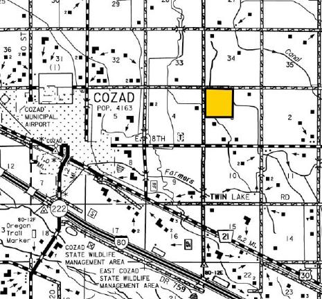
LOCATION: 2 miles east of Cozad (Located on the corner of 423 Road and 762 Road.)
LEGAL
DESCRIPTION: NW1/4 Section 3, T10N-R23W of the 6th P.M., Dawson County, Nebraska
PROPERTY
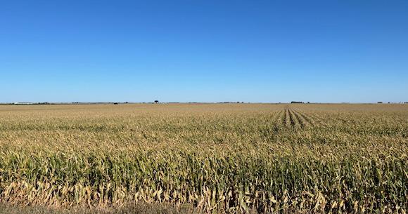
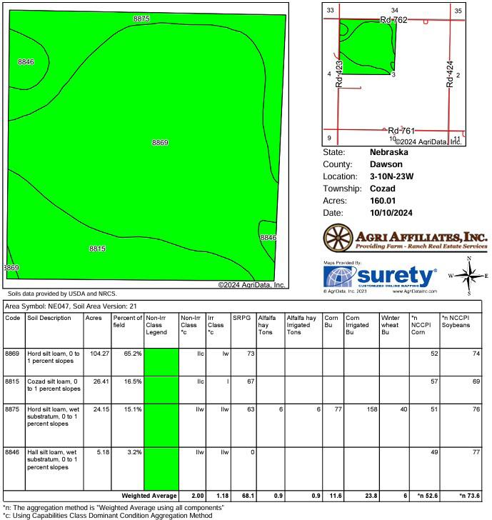
DESCRIPTION: Dawson County Assessor indicates a total of 160.01 tax-assessed acres. The farm consists of pivot irrigated cropland with gravity irrigated and dry crop corners.
SOILS: Soils consist of very productive Hord, Cozad, and Hall silt loams with slopes of 0-1% 2023 TAXES: Real Estate: $10,897.84 Drainage Tax: $330.98 LIST PRICE: $1,785,000
Cover Foundation Quarter
FARM SERVICE
AGENCY
INFORMATION:
IRRIGATION
INFORMATION:
Total Cropland: 152.43 acres
Base Acres: Corn: 150.80 acres with PLC Yield of 180 bushels per acre; Soybeans: 0.10 acres with PLC Yield of 62 bushels per acre
All cropland is considered non-highly erodible by the NRCS
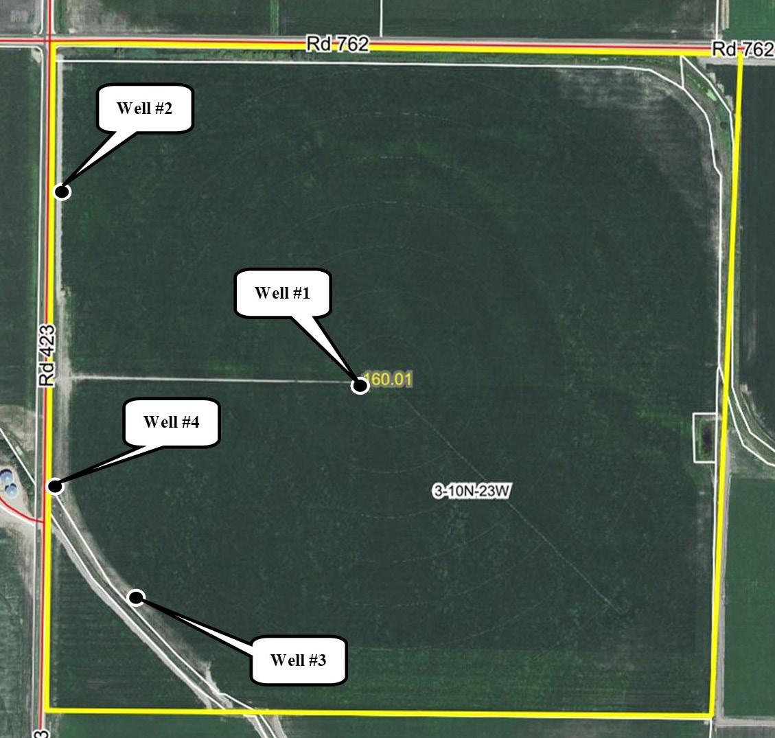
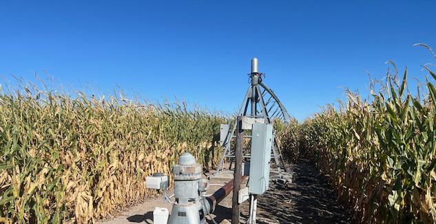
There are four wells whereby three are currently being utilized. The farm is located in the Central Platte Natural Resources District and contains a total of 151.73 certified irrigated acres.
Well #1 (Center)
Well Registration: G-100606
Completion Date: 03/02/2006 @ 700 gpm
Well Depth: 360’
Static Water: 12’
Pumping Level: 62’
Column: 8.63”
Pump - Sargent
Power Unit - B&B Electric Motor
Control Panel - WellGuard
Pivot - 7-tower Reinke, Electrigator, Model 65G
Well #3 (South)
Well Registration: G-072004
Completion Date: NA @ 1,000 gpm
Column: 8”
Pump - Fairbanks Morris
Power Unit - 15hp U.S. Electric Motor
Control Panel - WellGuard
Well #2 (Northwest)
Well Registration:G-072002
Completion Date: 01/01/1948 @ 1,000 gpm
Column: 8”
Pump - Sargent
Power Unit - U.S. Motors, 50hp Electric Motor
Control Panel - Allen-Bradley
Well #4 (West) (Well not in use.)
Well Registration:G-072003
Completion Date: 01/01/1946 @ 1,000 gpm
Column: 8”
Equipped with older Fairbanks 32 hp electric motor.