


LEGAL
DESCRIPTION:
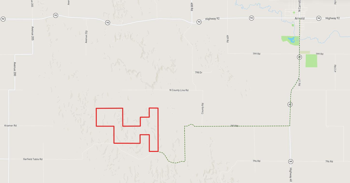
LOCATION
DIRECTIONS:
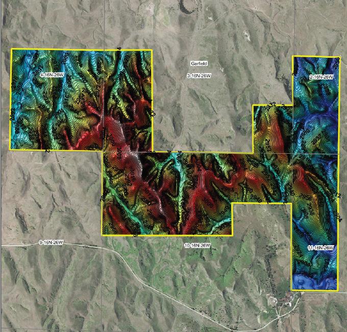
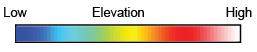
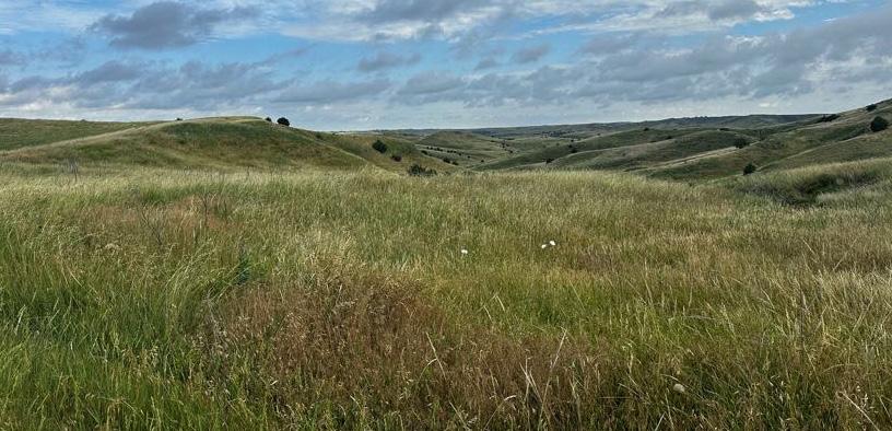
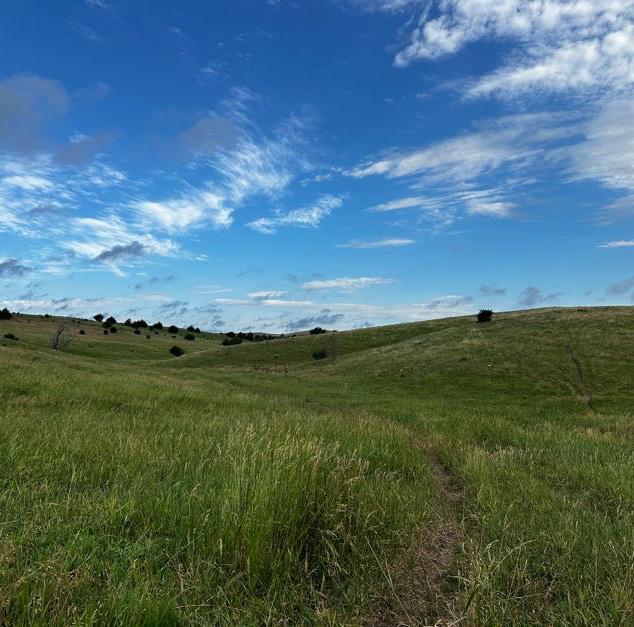
SE1/4 4-16-26; W1/2 SW1/4 2-16-26; W1/2SW1/4 3-16-26; SE1/4SE1/4 3-16-26; NE1/4NE1/4 & W1/2NE1/4 & NW1/4 10-16-26; W1/2NW1/4 & NW1/4SW1/4 1116-26 all West of the 6th P.M. in Lincoln County, Nebraska.
From Arnold, Nebraska take HWY 40 south approximately three miles to 797 Road where you will turn west. Follow this road for approxi mately 4.8 miles as it turns south into Garfield Table Road and back west to the southeastern corner of the property (on the north side of the r oad). ACRES & TAXES: 758.32 Tax Assessed Acres; 2023 Taxes Payable in 2024: $5,221.26
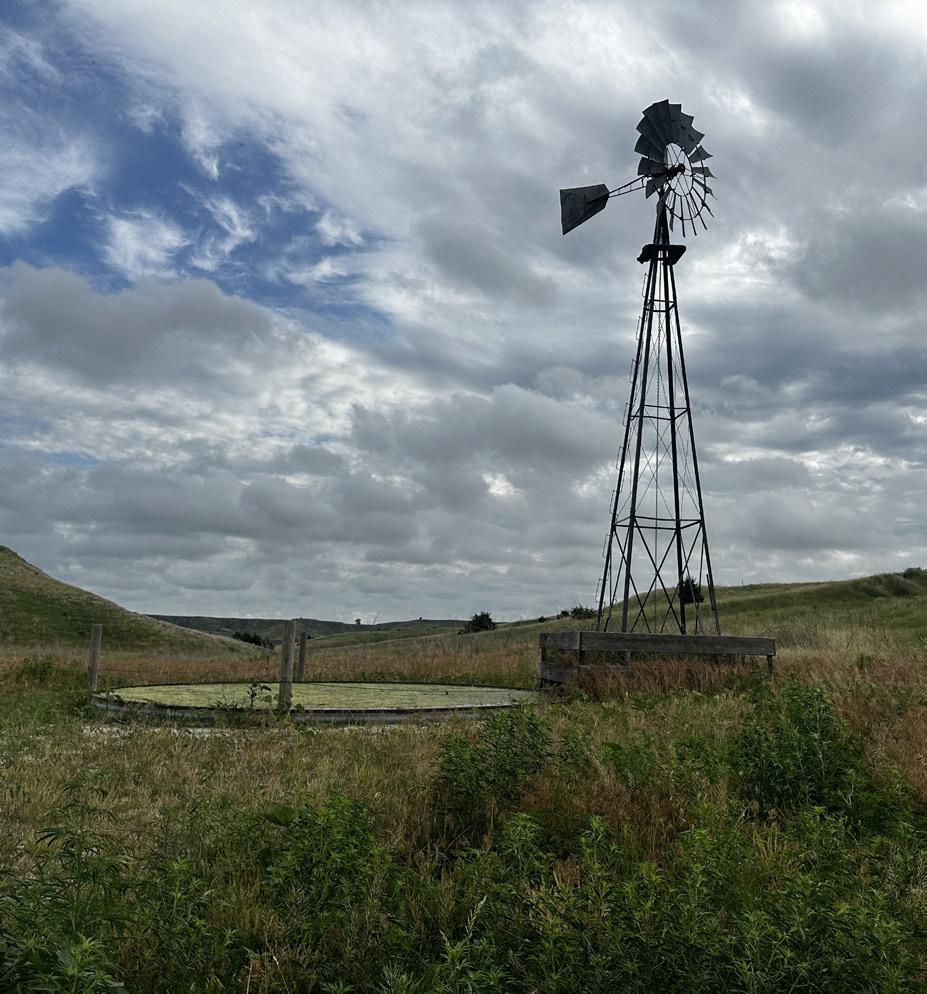
Class VI Uly-Soly silt loams and Hersh-Valentine complex NRD: Twin Platte Natural Resources District WATER RIGHTS: Two windmills and submersible well with pipeline to two tanks. Well registration # G-182845
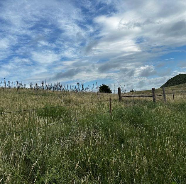
LEASE: Current grazing lease through October 2024.
LOCATION & MAPS
AERIAL MAP
TOPOGRAPHY MAP