


Golden dunes formed by the sands of the Sahara in Fuerteventura or Gran Canaria. Lush, humid jungles. damp with mist and moss, in Tenerife or La Gomera. A mountain summit – Mount Teide – higher than most Alpine peaks. Canyons, on Gran Canaria or La Gomera, seemingly straight out of a Western. Black and red volcanoes in Lanzarote or La Palma. Endless beaches. Natural turquoise pools. Some of the best stargazing or scuba-diving spots on Earth. Charming whitewashed villages.
The Canary Islands have it all, and it’s not a question of one-size-fits-all. Surfers and windsurfers flock to the islands’ shores for the constant wind and waves. They are a gathering place for triathletes and hikers from all over the world. Tenerife and Gran Canaria offer one of Europe’s best-known nightlife holiday destinations. Hundreds of all-inclusive resorts offer the perfect spot for family holidays. You can pick what you want and leave the rest on the buffet.
The Canary Islands, or Las Canarias, are a paradise of seven main islands plus a few smaller ones, 100km off the west coast of Africa.
Famous for offering all-year-round spring-like temperatures, the islands are often cited as one of the best places to live in the world.
Some 1,800km south of the capital Madrid, the archipelago is part of Spain and even hosts, at 3,718m, the country’s highest peak, Mount Teide.
The islands’ gentle climate and wealth of landscapes attract millions of holidaymakers from all around the world. They are considered one of the best places to relax and enjoy the sun. But the islands offer so much more than that ideal beach holiday.
The Canary Islands are often referred to as a microcontinent, encompassing an astonishing range of climates, the next one only a boat or car trip away.
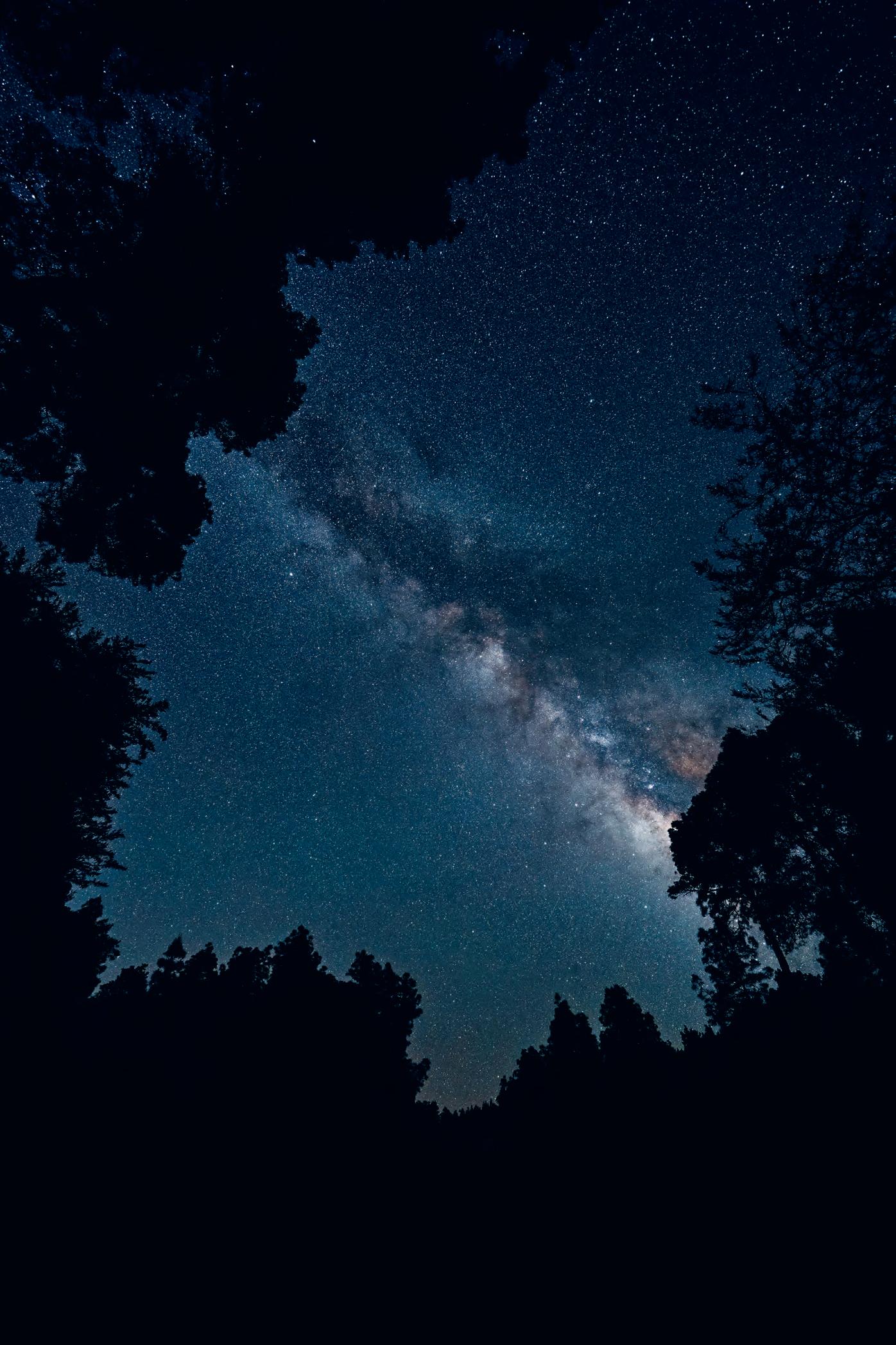

Tenerife and Gran Canaria are the best-known islands of the archipelago. They have the widest offer of hotels, resorts and natural landscapes and attract the most tourists. Both islands are considered micro-continents, as they offer a bit of everything, from long sandy beaches to mountainous highlands. On those islands, Los Cristianos and Maspalomas, respectively, are the big tourist resorts where you can find the widest range of holiday activities, while Santa Cruz de Tenerife and Las Palmas are the biggest cities on the two islands.
Lanzarote and Fuerteventura are the runner-up islands, offering similar versatility but of a different magnitude.
Arrecife
Puerto del Rosario
Las Palmas de Gran Canaria
These two islands are the arid ones, lying to the east, closest to Africa. The three western islands, La Palma, La Gomera and El Hierro, attract considerably fewer tourists but offer sufficient accommodation options to make the journey pleasant and comfortable. These smaller islands are considerably greener, with more lush vegetation.
International airports are found on all islands except for the two smaller ones, La Gomera and El Hierro, with most airports located conveniently next to the bigger cities or resorts. The commonest way to travel from one island to the other is by ferry. Fred Olsen and Naviera Armas are the two ferry operators and offer a multitude of connections. Check our map for more information. Travel on the island is mostly done by car or bus, and most journeys can be done within or around the hour.
The Canary Islands have a Mediterranean, sub-tropical climate, which means that temperatures are mild and stable throughout the year within the range 18–25 °C, offering 3,000 hours of sunshine. Summers are often extremely dry and winters gentle, with averages of 21 °C in January on Tenerife, making it a much-loved winter destination. Owing to elevation, wind and cloud, the climate – and therefore the amount of sunshine and rain – can vary tremendously from island to island and within each island. Tenerife, for example, has 20 micro-climates.
Mount Teide, 3,718m high, is the highest peak in Spain and the third highest volcano in the world measured from its base. It’s home to the Teide Natural Park, one of the oldest and the most visited natural parks in Spain and among the most visited in the world. Mount Teide dominates the island of Tenerife and the surroundings, and can be seen from all neighbouring islands. All islands offer significant elevation, with Tenerife, La Palma and Gran Canaria (almost) beating the 2,000m threshold.
Peñas del Chache (670m)
Pico de la Zarza (807m)
Pico de las Nieves (1,949m)
El Teide (3,718m)
Roque de los Muchachos (2,426m)
Alto de Garajonay (1,487m)
Pico de Malpaso (1,501m)

Welcome to Lanzarote, the most easterly of the seven islands. ‘Lanza’ feels like one big Hollywood movie set for a film set on Mars. With over 300 volcanoes – red, amber or black – it features one of the driest and most alien landscapes of the archipelago. It is a real playground for sport fanatics – with all-yearlong spring-like temperatures and an abundance of waves, hills and wind – as well as for culture lovers, who come to see the architecture and sculpture of local hero and visionary César Manrique scattered across the island. Despite its barren and often-menacing look, the island has abundant vegetation and is home to hundreds of vineyards, or bodegas, the colours of the vineyards offering a vivid contrast to the black volcanic backdrop.
Coastline: 212km
Highest point: 670m
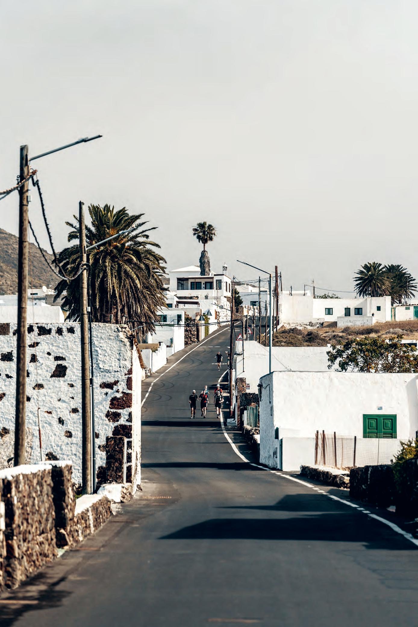

Fire Island, famous for its moon-like black-and-red landscapes and volcanoes
Lanzarote can be divided into three main areas. Mountains in the north-east, volcanoes in the west and beaches in the south. The beach resorts of Puerto del Carmen and Playa Blanca play host to most of the restaurants, hotels and tourists on the island. Peace and quiet away from the hordes, can be found in the mountains in the north among the white villages tucked away in the palm-treefilled valleys. The few souls you’ll see there – perhaps at Mirador del Río or Famara – are likely to be of the cultural or adventurous kind. Don’t forget to go in search of hidden beauty in the Jameos del Agua complex formed by a massive volcanic tunnel. The famous postcard views of black lava of ancient volcanoes are found in the Timanfaya and Los Volcanes National Parks, home to many craters, some of them accessible on foot. Where the lava meets the ocean in the west, Los Hervideros and Lago Verde offer a wealth of natural beauty that appeals to every sense. The El Jable plain, a strip of dusty desert south of Famara, separates the eastern mountains from the western volcanoes.


Welcome to Fuerteventura, known as a water sport paradise for its sandy beaches and constant winds, propelling kiters and surfers across its emeraldblue waters. Twin island to Lanzarote, Fuerte has a similar arid look with little vegetation, though it is lighter and more varied in tone, offering fifty shades of brown along its L-shaped form. What it lacks in variety of colour, it compensates for in the variety of its attractions. Sea lovers can choose between gorgeous turquoise lagoons or wild waves. Dirt eaters find yellow-sand deserts and dunes and can wander over ochre rolling hills and plains that stretch as far as the eye can see. Hill seekers can climb volcanoes or travel along remote and windy ridges where no living soul is to be found. Last but not least, beach boys and girls have an astonishing smorgasbord to choose from – whether sheltered shell-shaped coves only accessible by 4x4 or long sandy beaches where an ice cream is only ever just a stroll away.
Coastline: 304km
Highest point: 807m


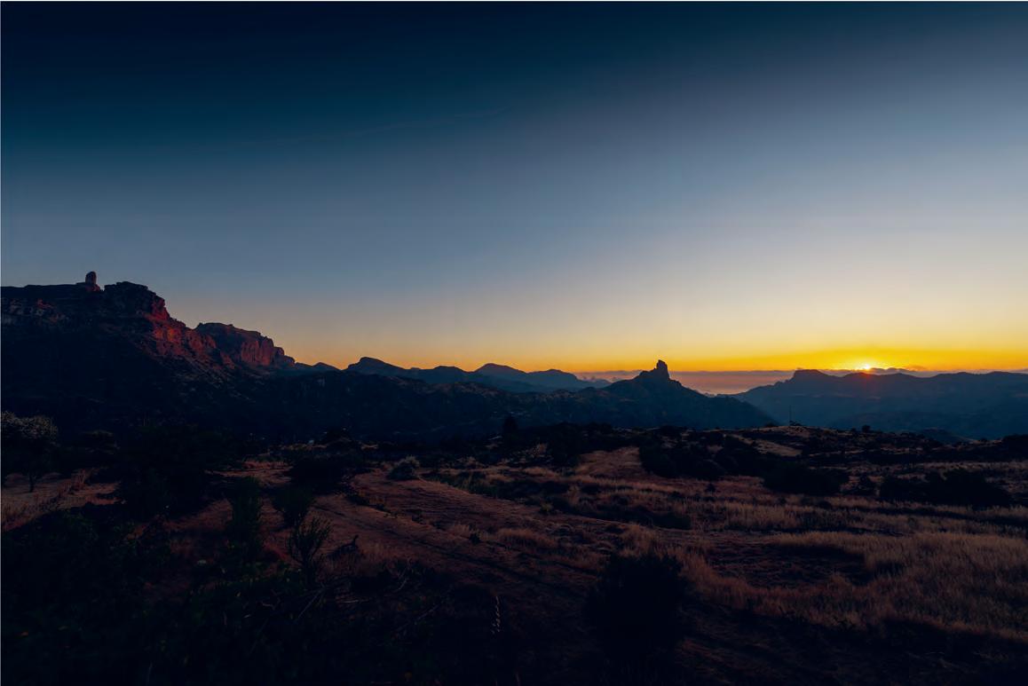
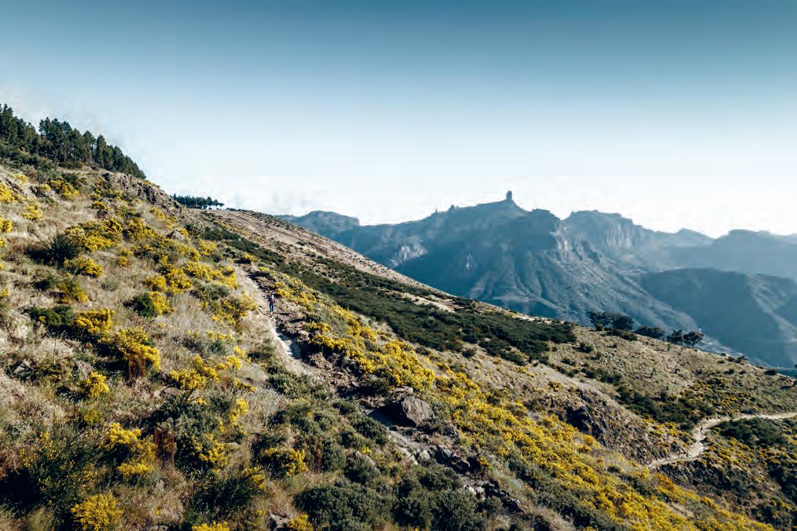
The centre of the island is dominated by a massive crater, the Caldera de Taburiente, a huge erosion crater. It has a diameter of 10km and its walls rise 2,000m above the caldera floor, which is at sea level. The highest point is the Roque de los Muchachos on the northern wall, accessible by road and home to the telescopes of the Roque de los Muchachos Observatory, located near the summit.
To the south-west, the caldera slopes down to the sea along the Barranco de Las Angustias, through which the Río de Taburiente flows during the winter.
In the south-east, the crater rim connects to the Cumbre Nueva mountain ridge, which, together with the southern Cumbre Vieja, forms the backbone of the island.
During the Spanish conquest of the islands in the 15th century, the caldera served as the last stronghold for the Guanches, the former inhabitants of the archipelago.
The Parque Nacional Caldera de Taburiente is one of four national parks in the Canary Islands, designated thus in 1954.
Opposite the Roque de Los Muchachos, on the south- eastern crater rim, you’ll find the La Cumbrecita viewpoint, offering fantastic views of the caldera, and reachable by car from the visitor centre near El Paso. Due to limited parking, access is regulated, and reservations need to be made in advance.
3 11
This refuge lodge located on the GR131 is a great place to stay overnight if you want to get out, enjoy the unspoiled nature and peace and quiet, and are looking to complete the GR131’s circuit of the Caldera de Taburiente. There is place for 20 people but don’t expect luxury as there are no shower facilities and you have to bring your own sleeping bag.
This remote summit, marked by a wooden cross, is on the GR131 between Punto de los Roques and Punto de la Cruz. It is only accessible by trail and overlooks the Caldera de Taburiente.
Roque de los Muchachos is the highest point on La Palma and the second-highest peak in the Canary Islands, surpassed only by Mount Teide on Tenerife. It’s renowned as one of the finest places on Earth for stargazing as its distance from the continent means there is minimal light pollution. Other winning factors are La Palma’s low population density and unique climate resulting in clouds forming at relatively low altitudes, typically 1,000– 2,000m above sea level. The highest parts of the island therefore offer clear, pristine night skies nearly all year round.
The Roque de los Muchachos is home to the largest astronomical observatory in the northern hemisphere, and to as many as 13 telescopes, attracting scientists from around the world. During the day visitors can tour, by making an advance reservation, the Astrophysical Observatory of Roque de los Muchachos. The observatory is easily accessible by car.
Cascada de los Colores is a remarkable waterfall that shimmers red and gold. It’s a hidden gem within the protected landscape of the Barranco de las Angustias, situated on the outskirts of the renowned Parque Nacional Caldera de Taburiente. The red and gold colours originate from algae and the iron from a wall built in the 1960s to protect the caldera from water erosion. Drive from Los Llanos de Caldera to the parking area (28.68563, -17.90978) at the base of Barranco de las Angustias, from where you have a 8km hike to the waterfall.
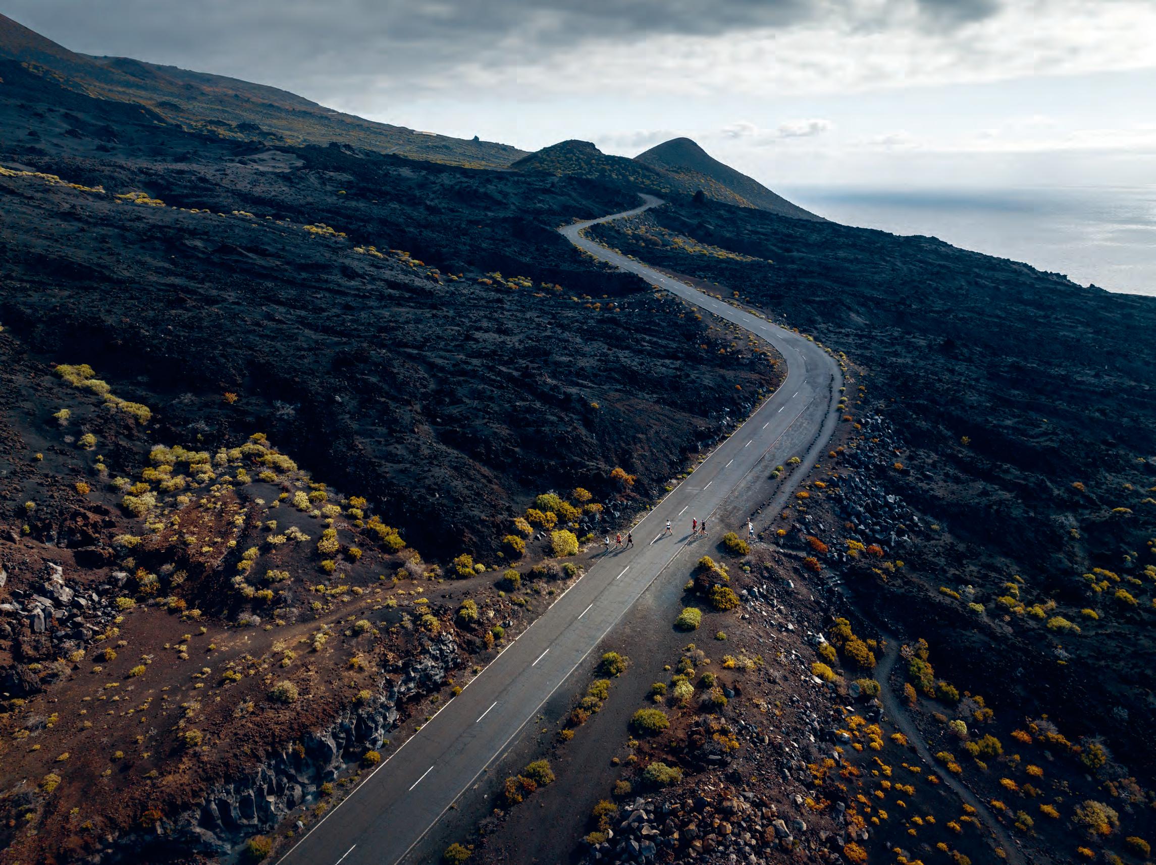

Paris in the Tour de France. For old times sake, we stuck together for most of the day. The journey is about doing this together. Kasper brought back some vintage veggie talk and got so excited he walked into a bush with sharp thorns. Peloton talks, reminiscing about the past days and what meat we would throw on the barbecue tonight. The scenery accompanied the relaxed ambiance.
Mediterranean vibes with hints of Tuscany or Provence make El Hierro yet another landscape to taste among the endless treasures of the Canaries. But halfway through Kasper and I rolled up our sleeves for a little mid-stage battle inspired by ‘peak fever’ with the Pico de Malpaso in sight.
When a boy sees a hill, he wants to get to the summit. Having reached it, we threw ourselves into the descent, a non-technical and therefore a tough, fast one with Kasper raging like a bull one last time. A friendly bull. A powerful bull. At the last aid station, 7km from the end and the westernmost point of Europe, we waited in the shade, to regroup. For the last trails, we would form a single formation to conclude our formidable collective journey across the Canary Islands.
It’s incredible what you can do. You don’t need to be a professional athlete to achieve the impossible. We just did it. Eight brave souls passed the lighthouse and made their way to the beach. Not a white sand, palm tree type of beach, but a concrete pier sticking out in the ocean.
But it looked like paradise to us.
Champagne, cool water and rest awaited. Eternal rest. Or at least for a while. Ecstasy filled the air as we touched the ‘embarcadero’. Once built to construct the lighthouse, now our finish line.
Shoes were symbolically released from their duties. Our CamelBaks which so loyally had our backs for two weeks were destined to the cloakroom. The sound of high fives disrupted the peace and quiet that one lonely tourist was searching for at this end of the world.
We dove into blue water at the westernmost point of Europe.
Where the GR131 ends.
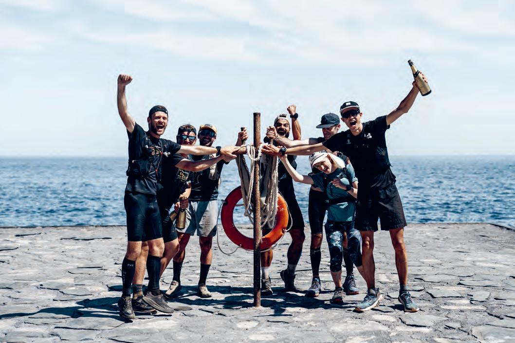
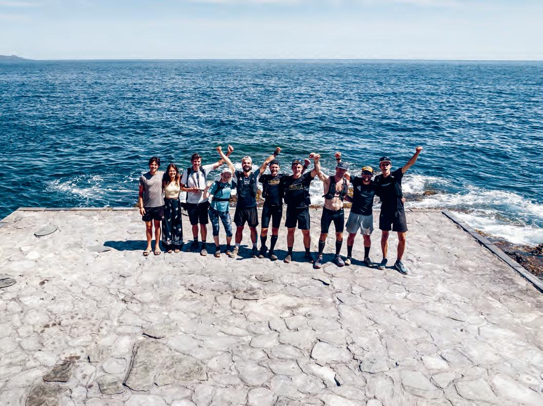
What an incredible challenge. The GR131. In 14 days.
625km, 25,000m elevation. More than 48km per day or 1,800m up per day. For 14 days in a row.
Our goals were to go beyond our comfort zone, to explore unknown territory and to create inspiring beauty.
We challenged ourselves.
I honestly gave myself a 50% chance of finishing this journey.
But then on a sunny day in April, we did it. The human body is made to be in motion. Once released in nature, you will be astonished by what it is capable of.
We survived crashes, sickness, ultramarathons and monstrous terrain.
And quite crazily, we did it as a group. What a supportive and positive attitude among people who barely knew each other and were pushed to their limits.
I’m honoured to get to know better some incredible, kind, brave and strong souls.
We explored unknown territory.
Eight islands. Desert and jungle. Mountains and endless plains.
Sunshine and rain. Not really, only sunshine.
The Canaries bring unmatched variety, a paradise for nature lovers, hikers and cyclists.
Last but not least, we created inspiring beauty.
With these last words, the last goal has been achieved.
Writing this book has been a collective journey with a little army of people spending hundreds of hours to get this done.
I’m grateful for everyone who believed in this little project and passionately pushed it to life.
Thank you for your running, supporting, kind words, copy, pictures, picture editing, design, belief…
Thank you.