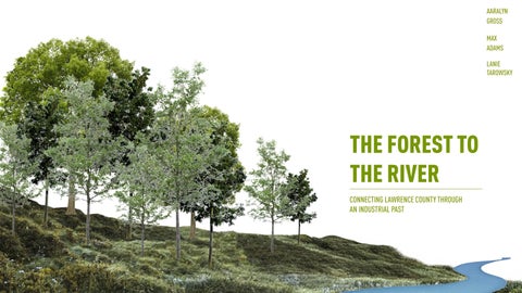
THE FOREST TO THE RIVER
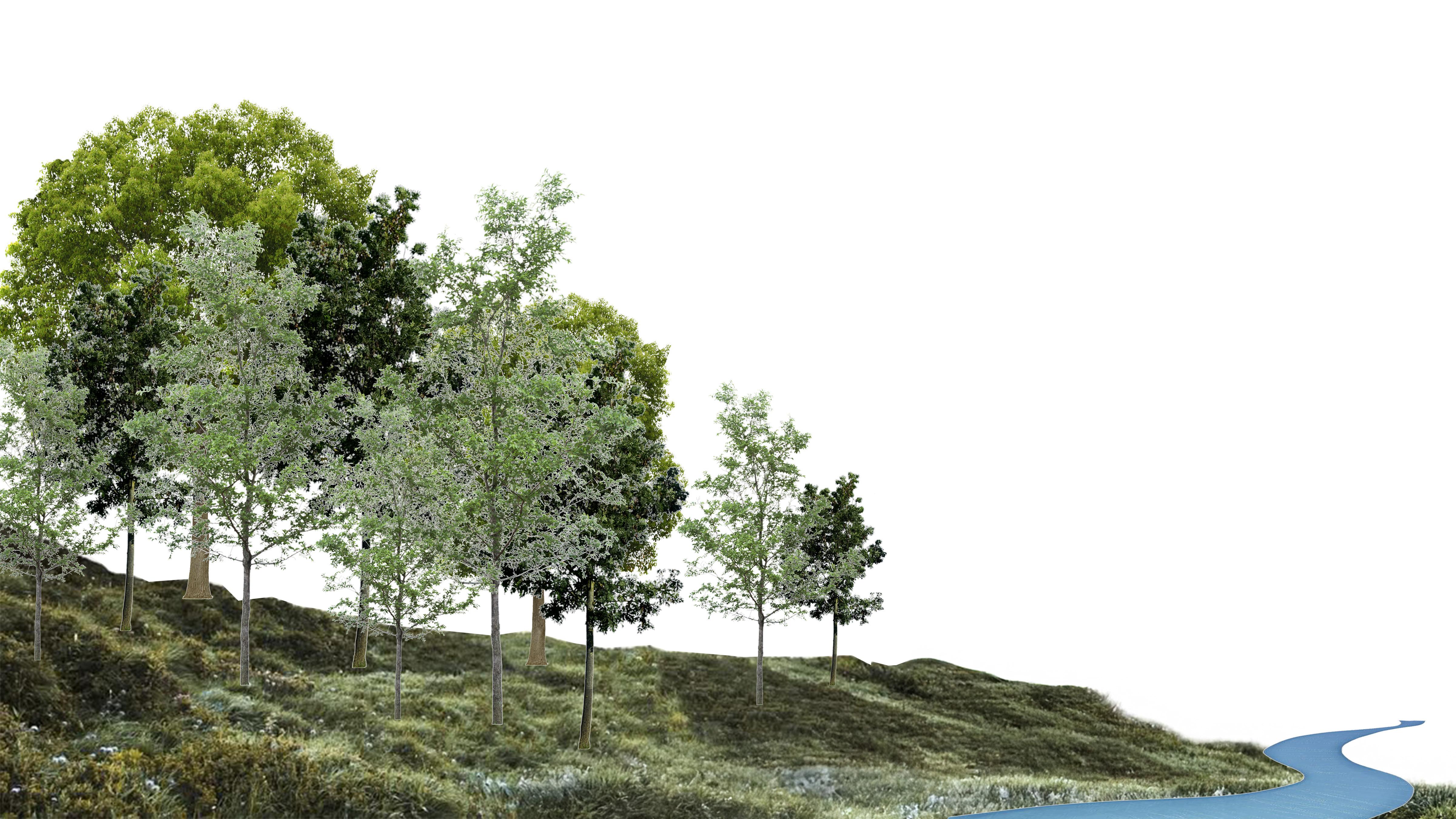
CONNECTING LAWRENCE COUNTY THROUGH AN INDUSTRIAL PAST
MAX ADAMS
AARALYN GROSS
LANIE
TAROWSKY


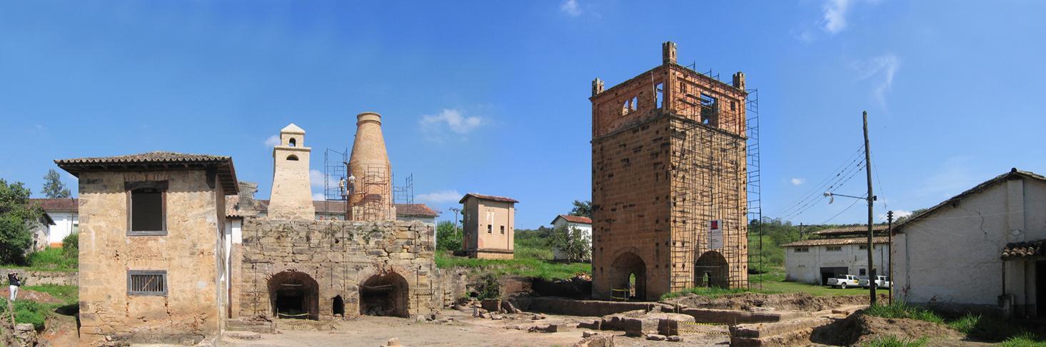
(1ST) ETNA FURNACE BUILT 1831- 1832 (LAST) JACKSON FURNACE CLOSED 1895
CONNECTING LAWRENCE COUNTY THROUGH AN INDUSTRIAL PAST
(1ST) ETNA FURNACE BUILT 1831- 1832 (LAST) JACKSON FURNACE CLOSED 1895
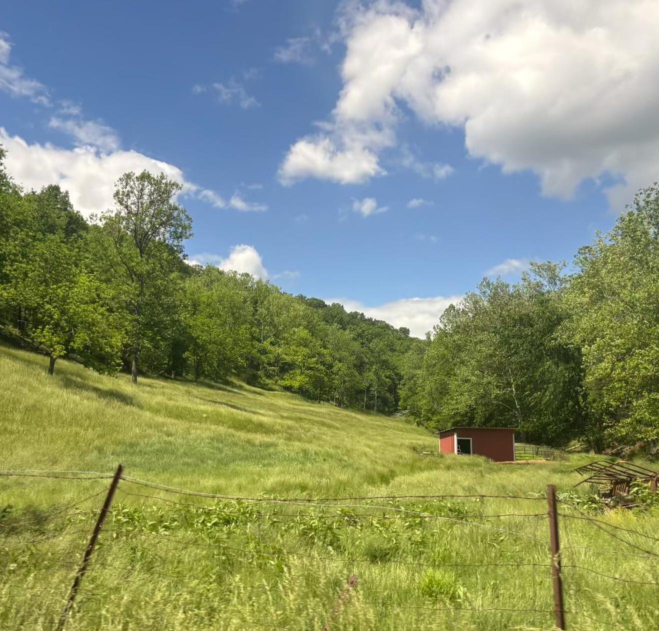
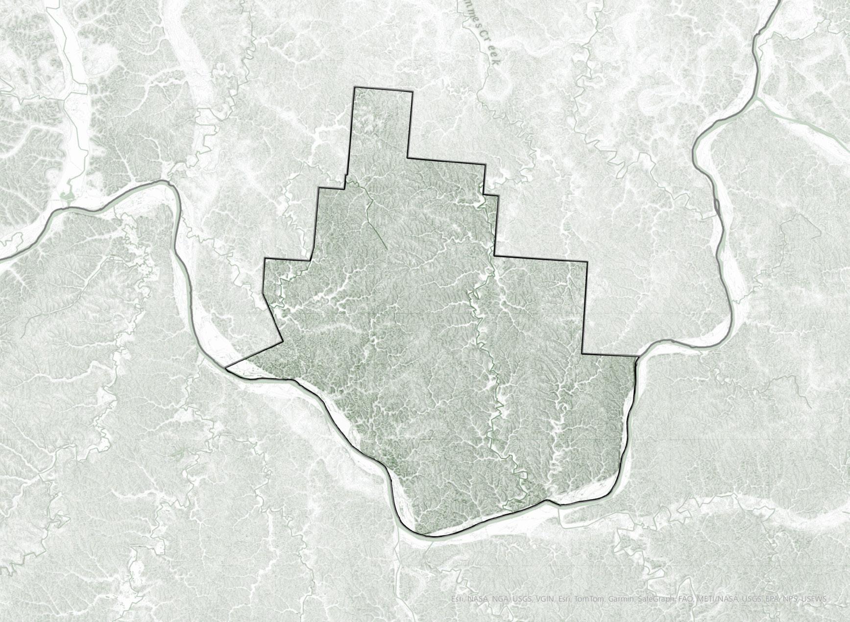
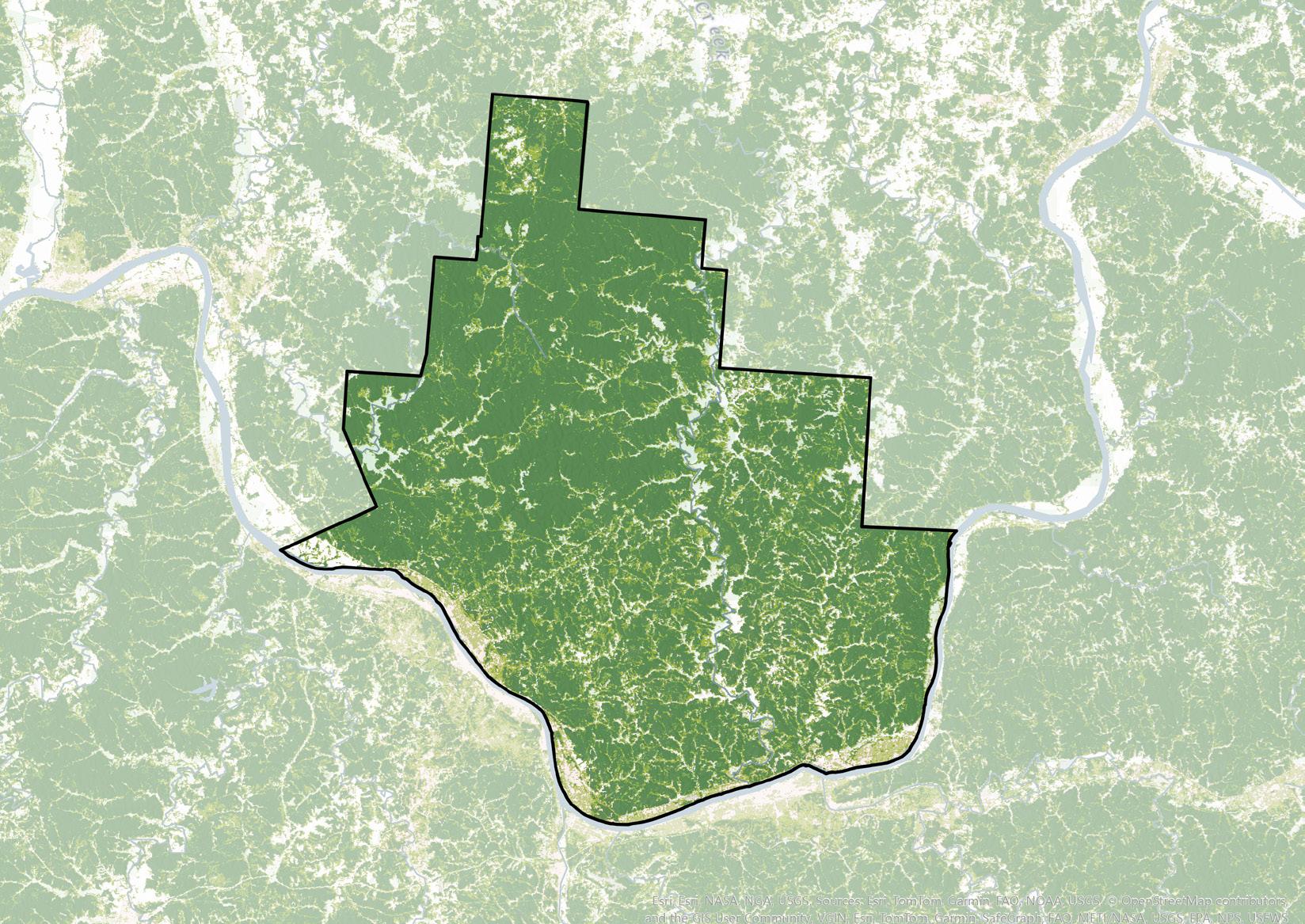
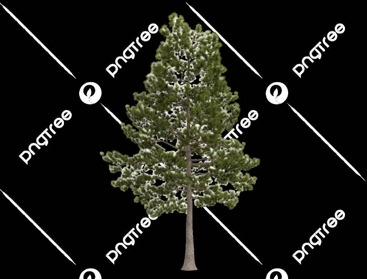
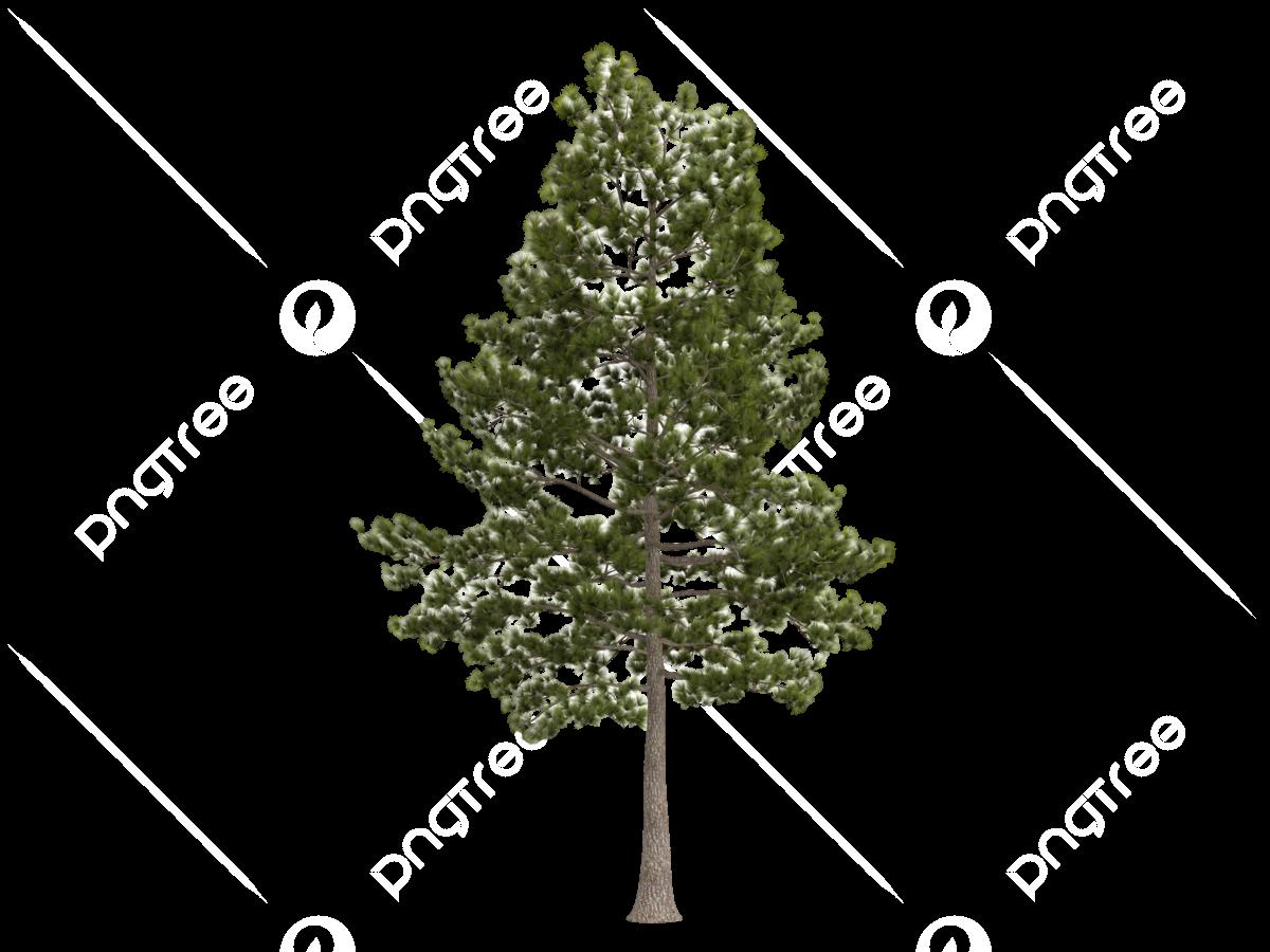
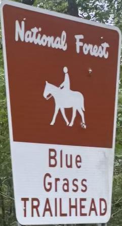
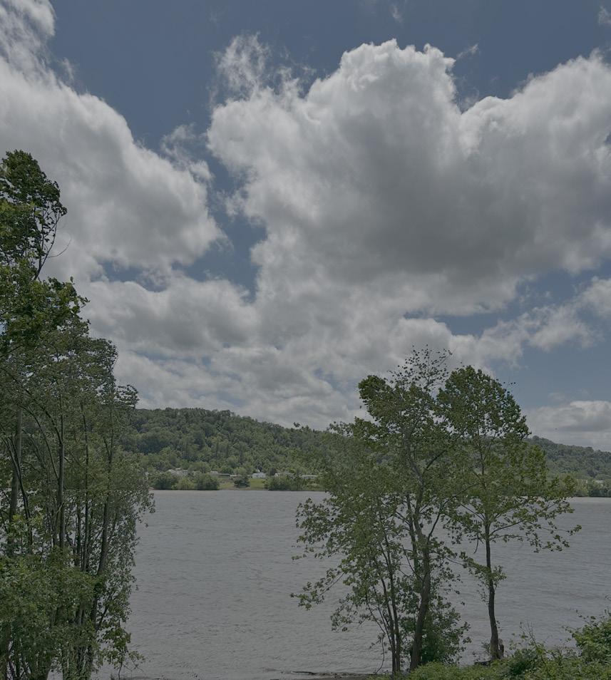
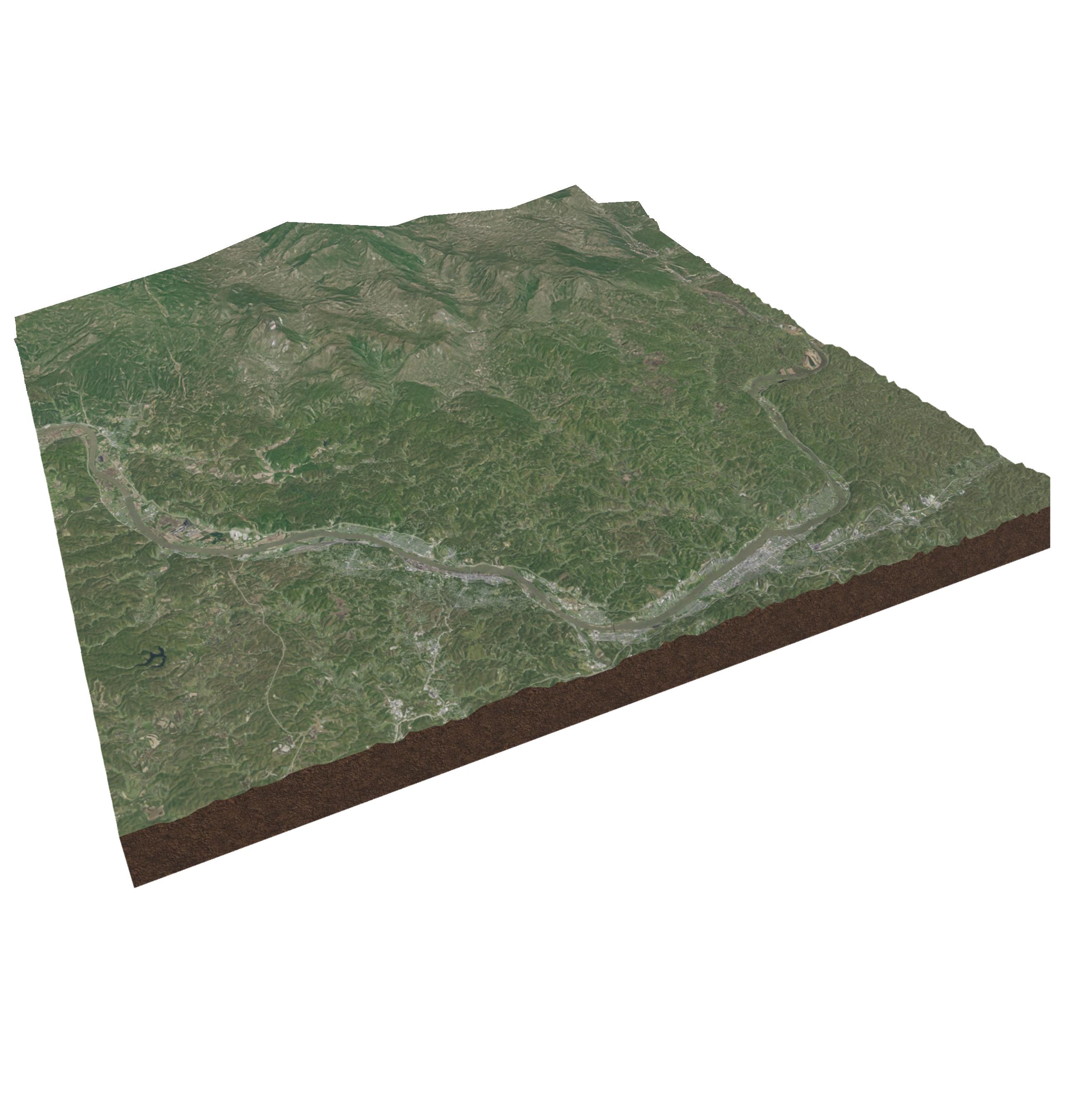
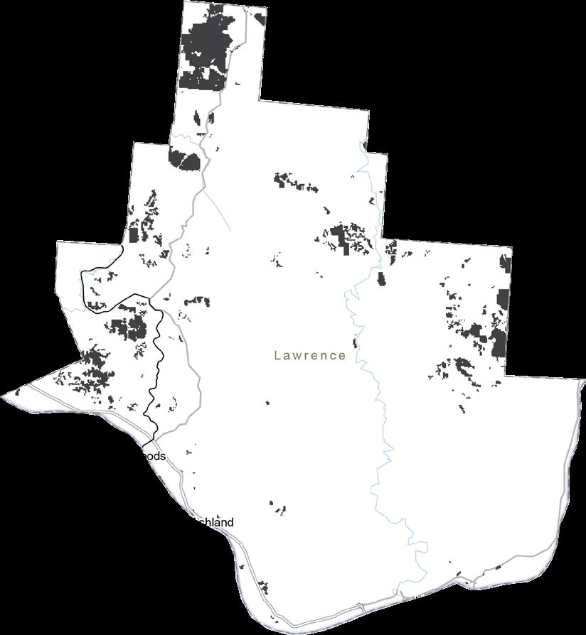
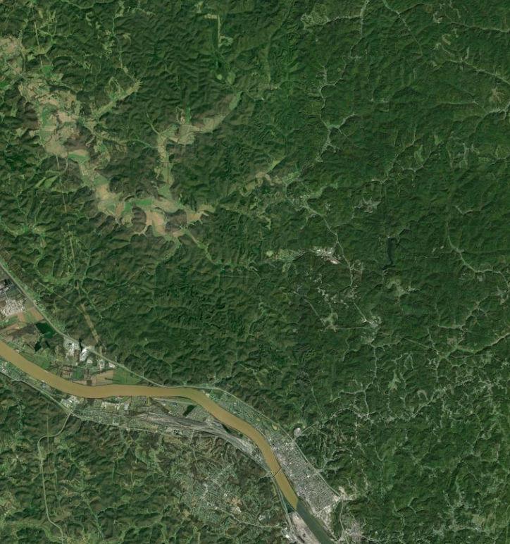
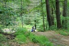
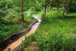
One of the biggest natural assets in Lawrence County is the Wayne National Forest. This provides the county with almost 80% tree cover and acts as a natural barrier around the county. This feature, as well as looking at the existing trails and topography in the county contributed to our purpose of restoring
and futher connecting the county.
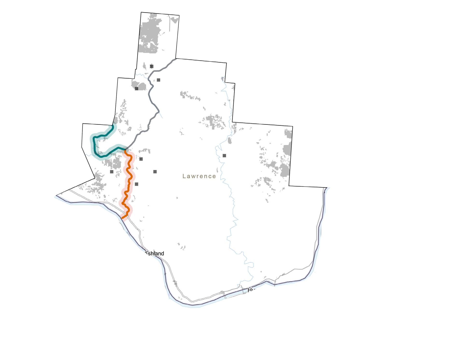
Hydrologic Unit Codes divide the country into 22 regions (2 digits). The most dominant ones in Lawrence County are HUC 8, 10, and 12; which defines the drainage regions, subregions, basins, sub basins, watersheds and subwatersheds.
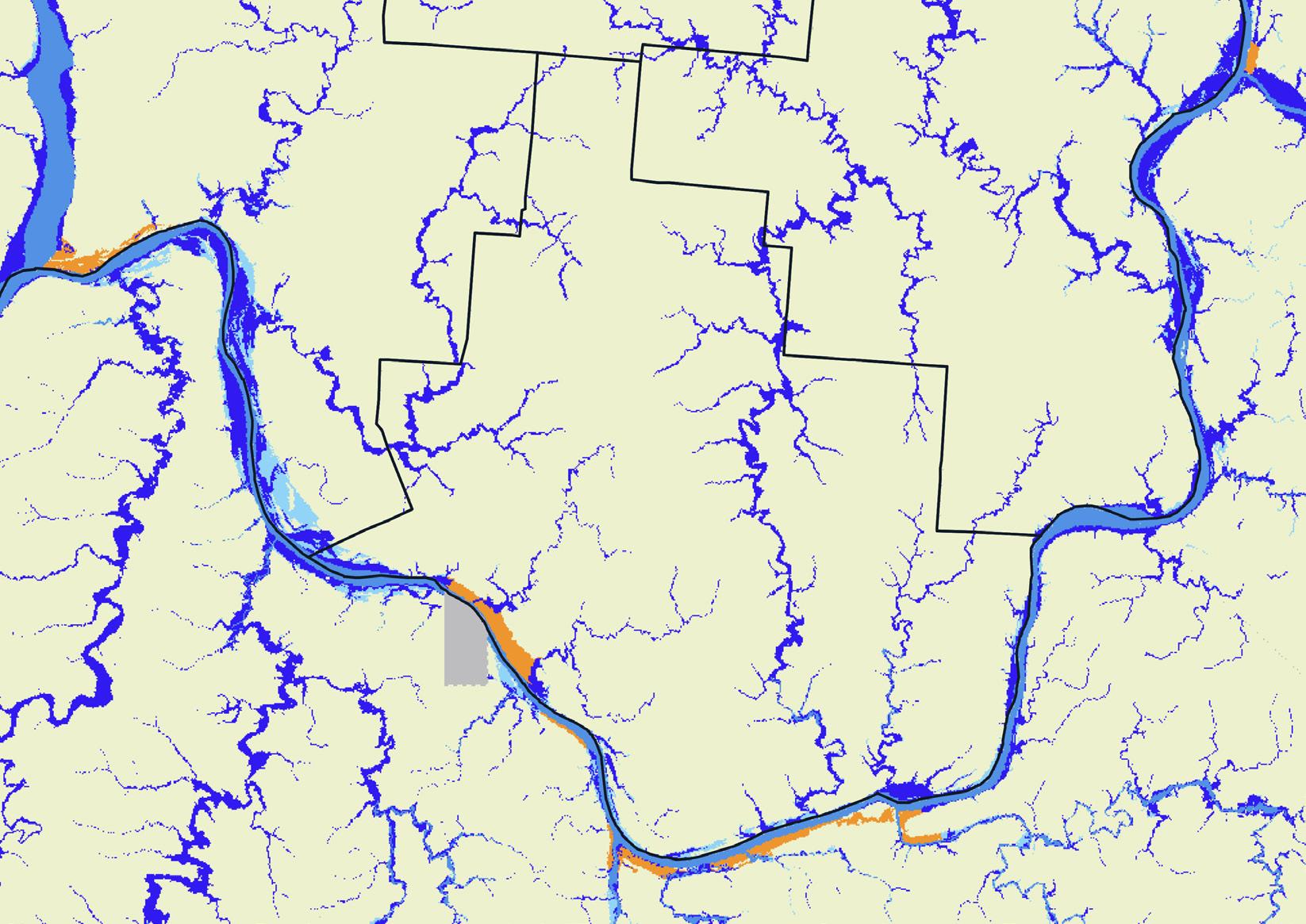
Almost half the county is at high or critical concern for flood zones. Today, there are more than 20,366 properties at risk, which is about 49.3% of all properties in the county.
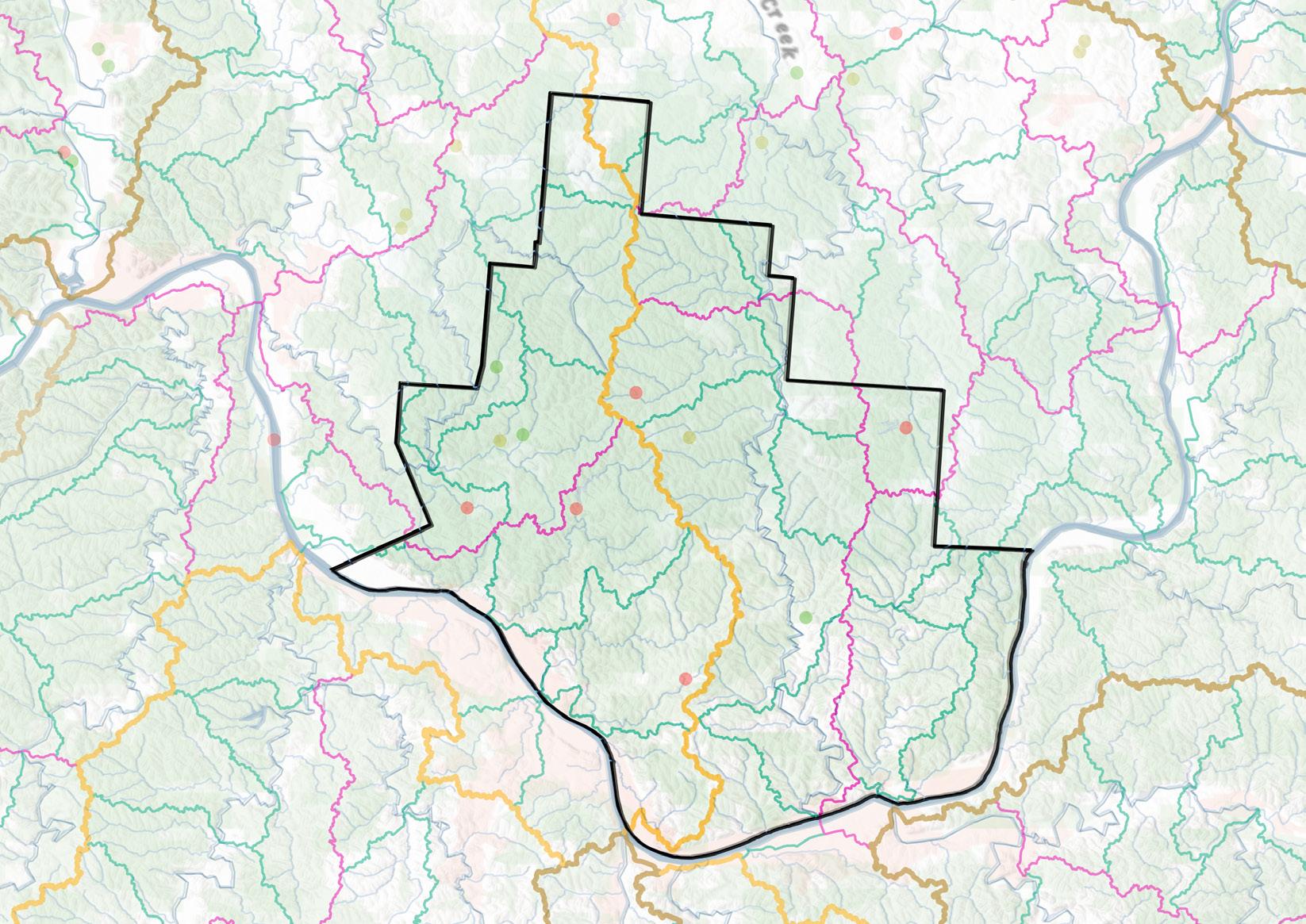
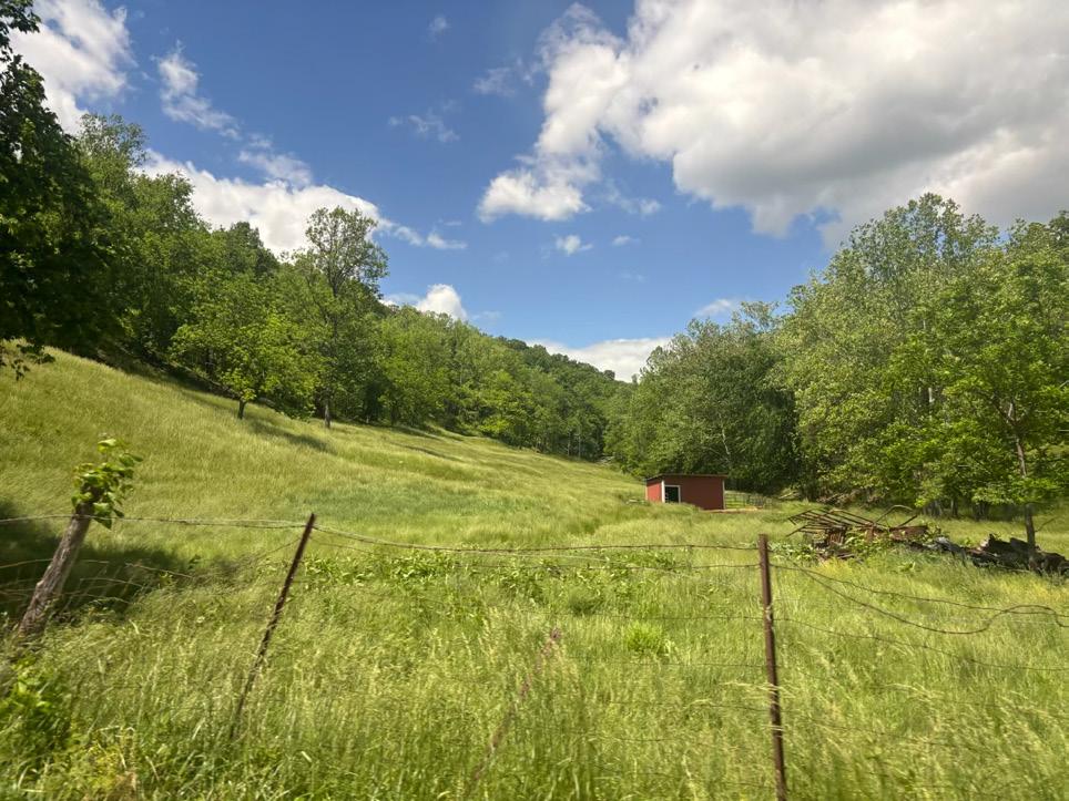
Almost 7,000 acres of surface strip mines, and another 6,000 acres of affected land.
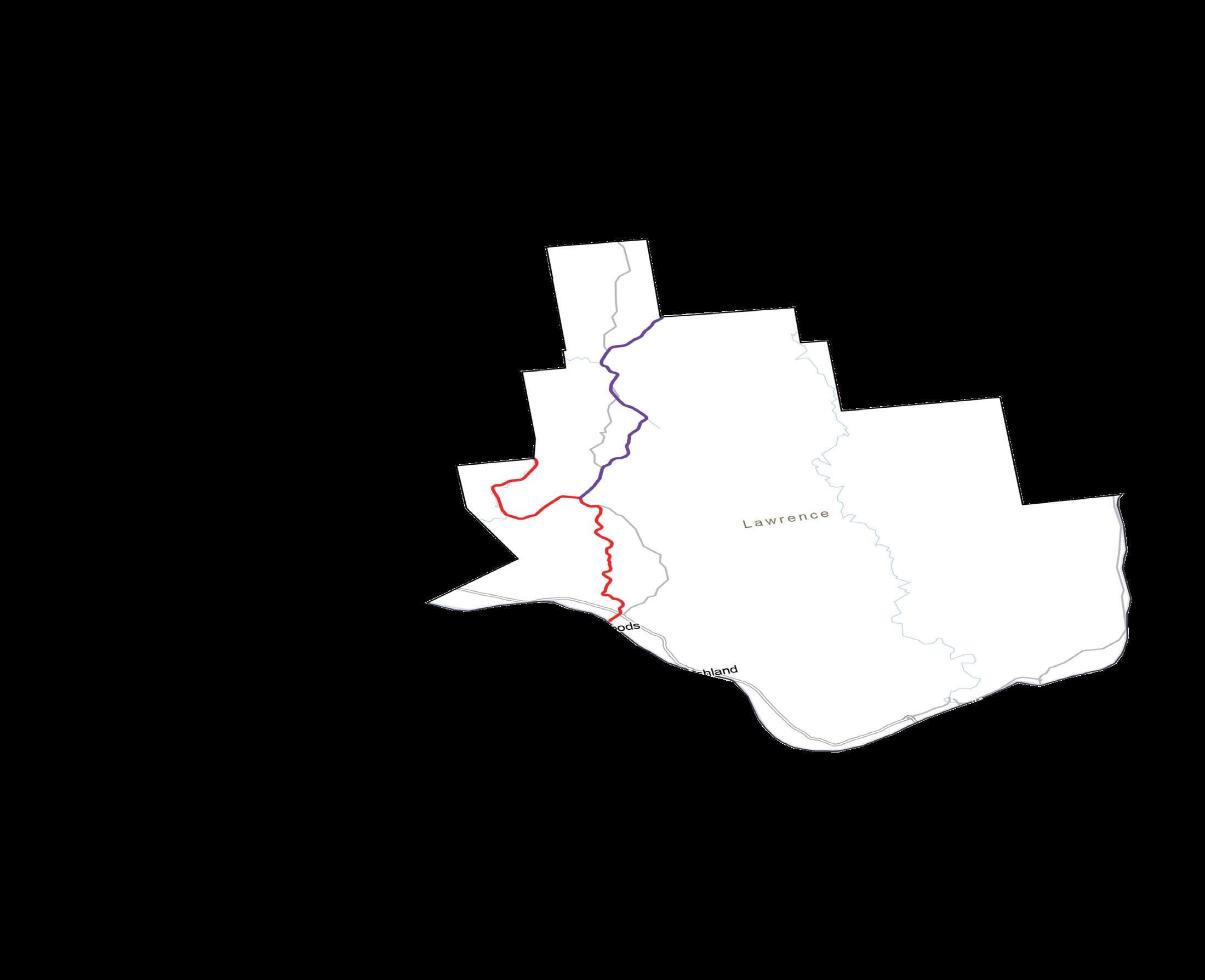
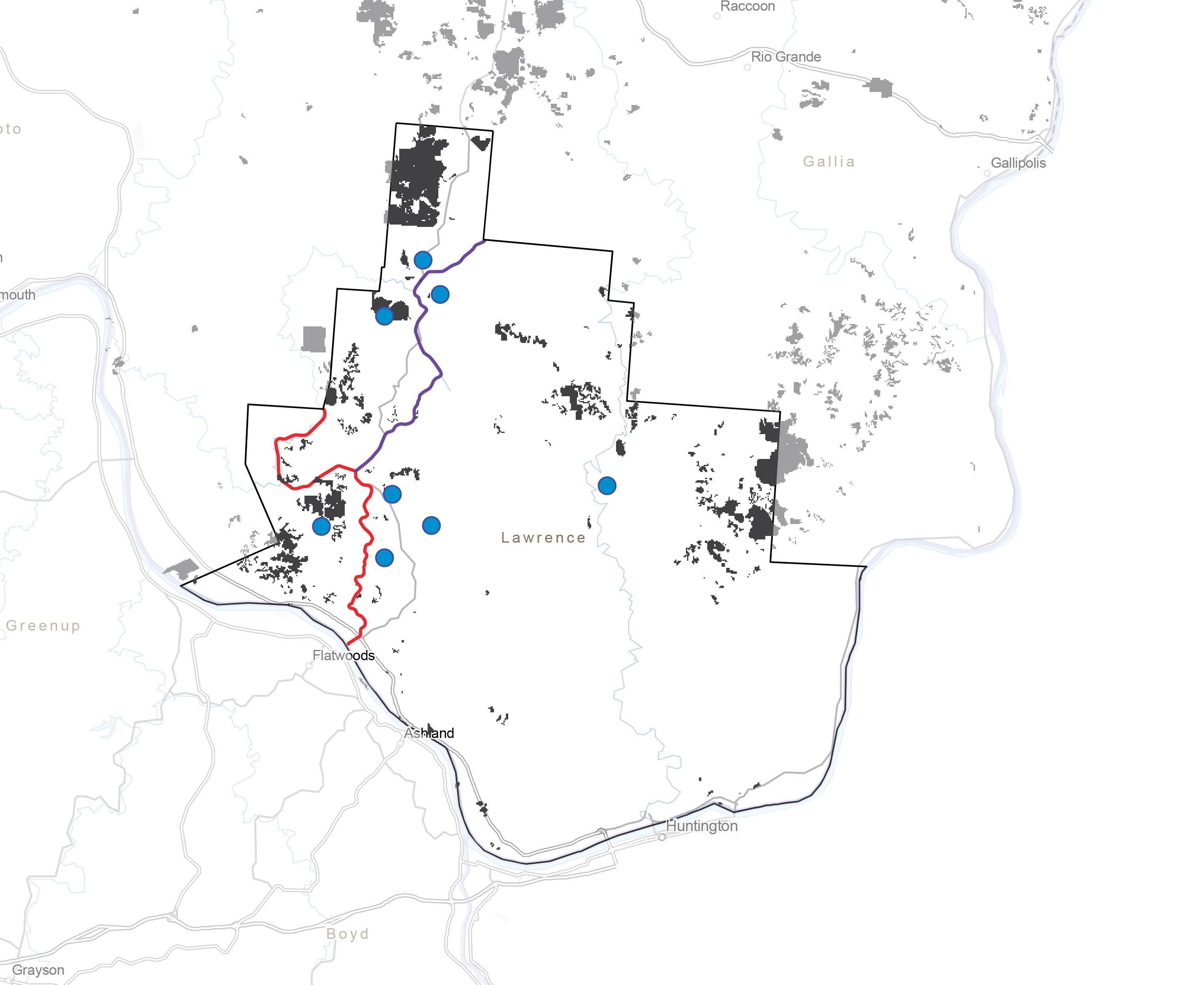
The former DT&I (Detroit, Toledo, and Ironton Railroad) highlighted in red. The CH&D (Cincinnati, Hamilton, and Dayton Railroad) in purple. Both served the Iron and Coal markets of the mid-west.
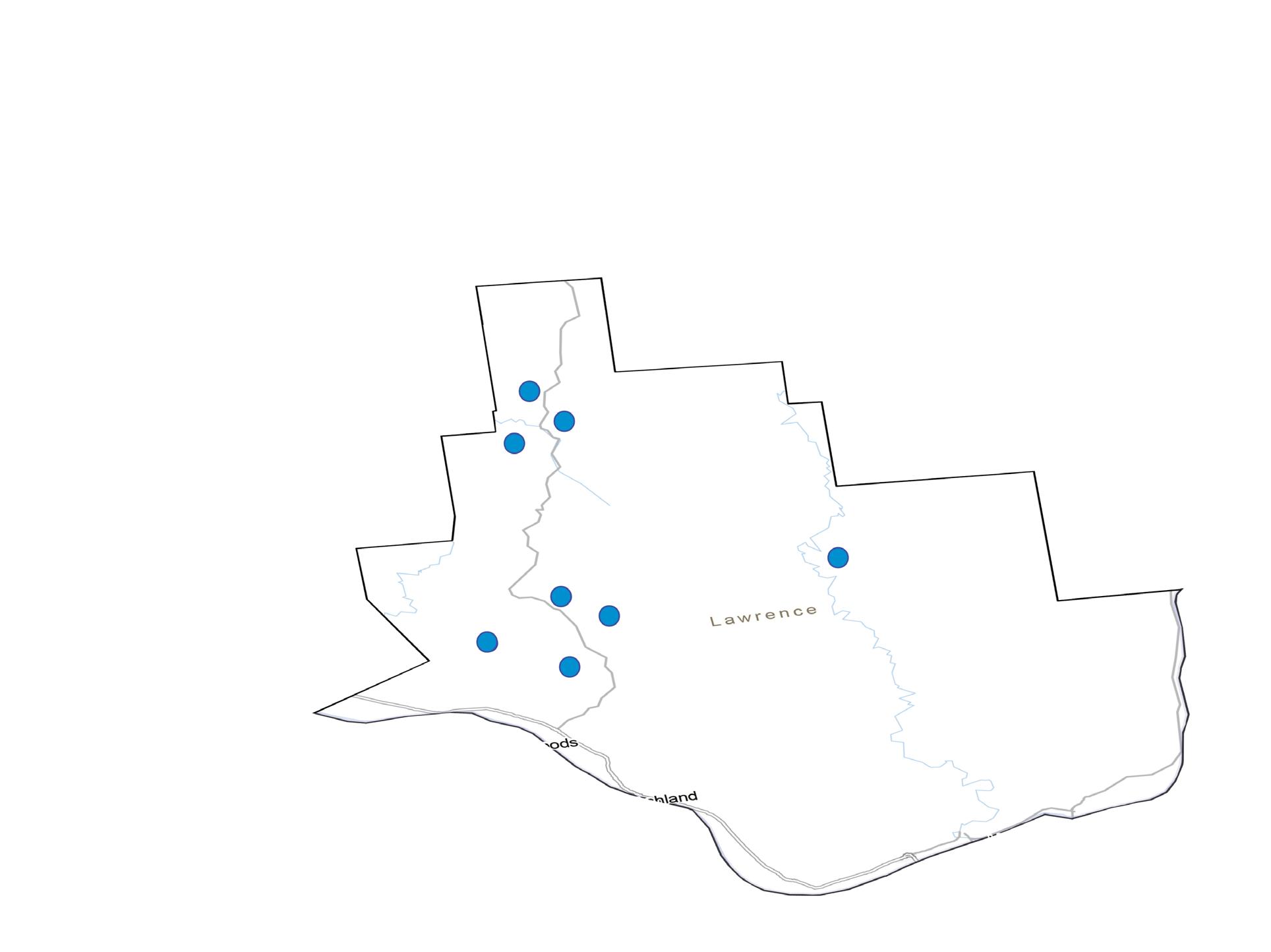
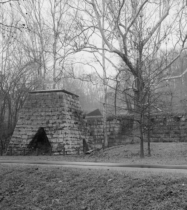
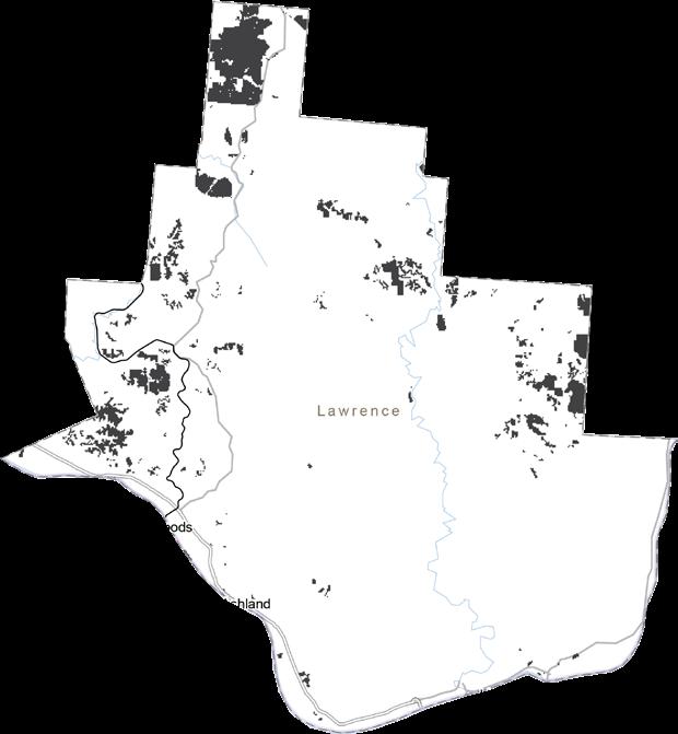
Eight iron furnaces are still in Lawrence County. Previously used to extract iron from iron ore, but are now out of commission.
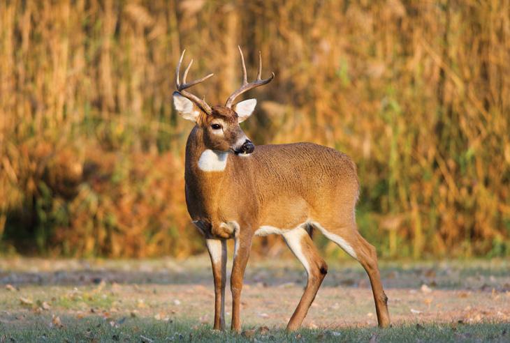

White Tailed Deer, American Beavers, Eastern Cottontails, and Groundhogs.
Wild Turkey, Northern Cardinal, Bald Eagle, and Pied-Billed Grebe.
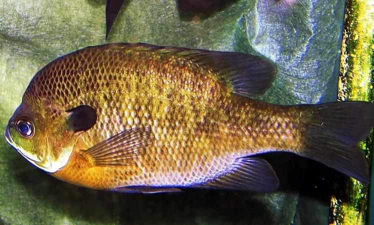

Bluegill, Catfish, Creek Chub, and Common Box Turtle.


Slugs, Snails, Mussels, Turkey Tail, Chicken of the Woods, Orange Mycena, and Deer Mushrooms.
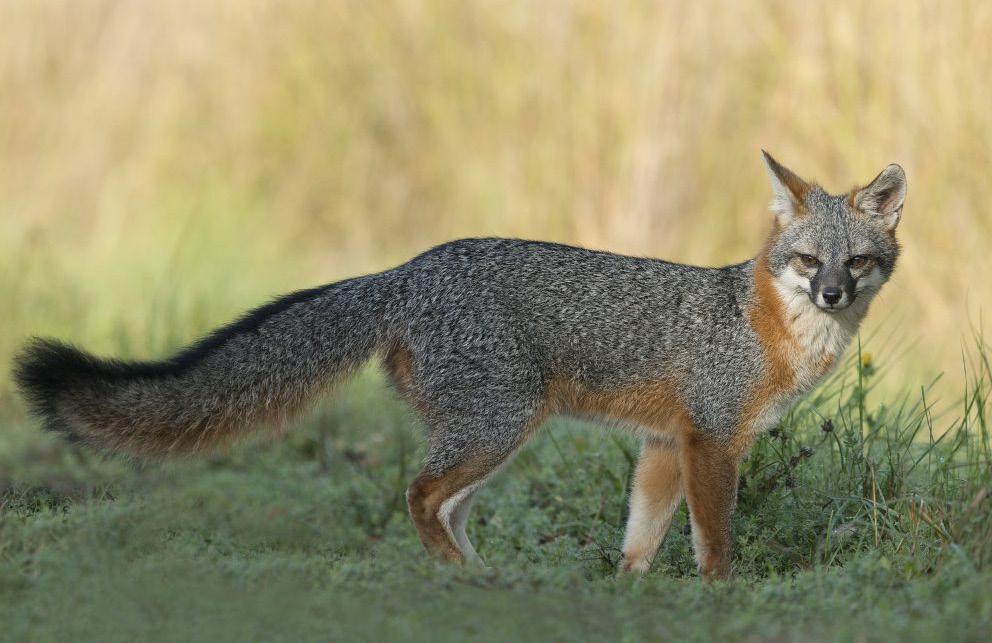
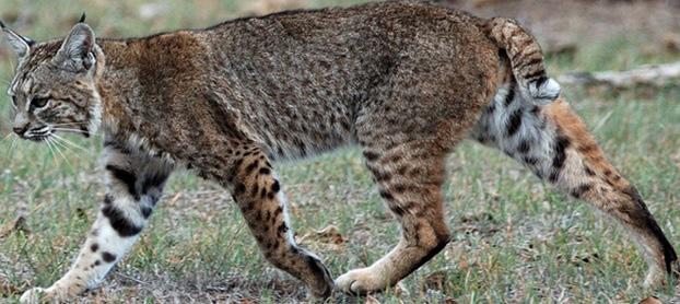
The threatened species are ones we want to design for to make sure they aren’t being pushed further out of their homes. These species include Bobcats, Brown Bats, and Gray Fox’s.


GREEN & BLUE
» Wayne National Forest
» County is approximately 80% tree covered
» Multi-modal trails
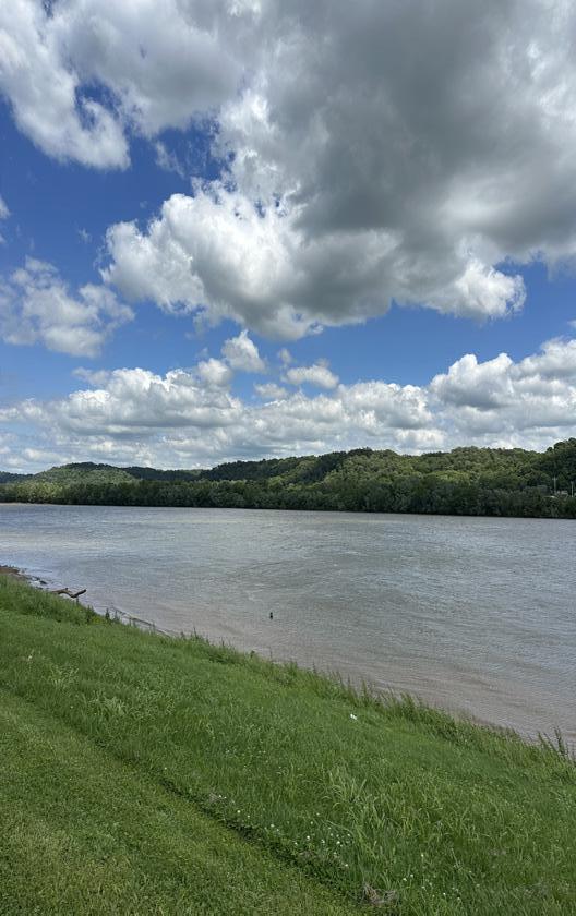
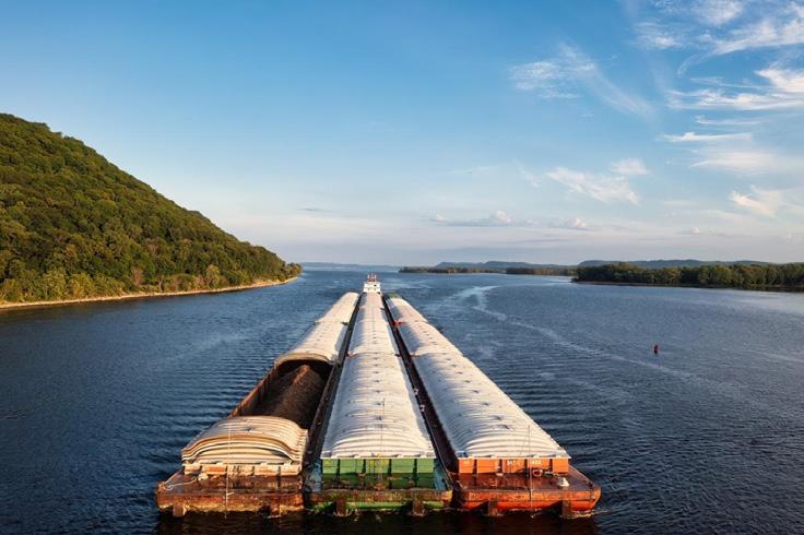
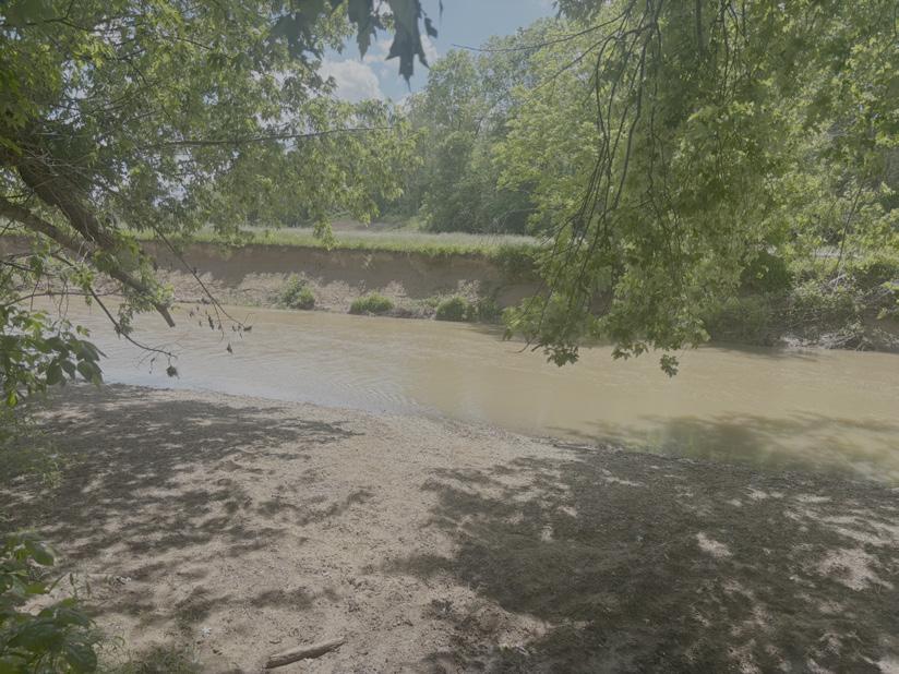
» Extensive stream network & Ohio River
» Strong regional identity (Appalachian and Southern)
» Eco-tourism: More multi-modal trails, rugged terrain, & waterbased activities


» Abandoned coal mines and iron furnaces
» Former DT&I line

» Lack of connection between the river and forest
» Stigma against the Ohio River water quality
» Acidic soil - Lack of traditional agriculture
Natural amenities, but lacks connection. Trails, rivers & forests exist - but do not work together.
Rugged landscape, but the mined land holds potential for reinvention.
» Potential flooding for development and homes along the river
» Communities resistance to change & eco-tourism
» Dangers of the Ohio River
» Landslides along waterways
Nature offers both promise and danger. Its assets are also risks, for example, floods, landslides, and climate change.


We envision a Lawrence County that honors its industrial heritage while embracing a vibrant future, where recreation, green infrastructure, and a strong sense of community shape a resilient place for all.
Conserving Ecology
Connecting People, Places, and Natural Amenities

Connect Forest to the River

Shaping an identity


Conservation is the protection and enhancement of natural, cultural, and historic resources for the benefit of both people and the environment.
Through aspects of the natural environment and previous industry, we can apply conservation by restoring landscapes, preserving heritage, and creating spaces that strengthen the connection between community and place.
- Green & blue environment
- Wildlife & balanced ecosystem
- Industrial past, to green future
- Connect people with recreation
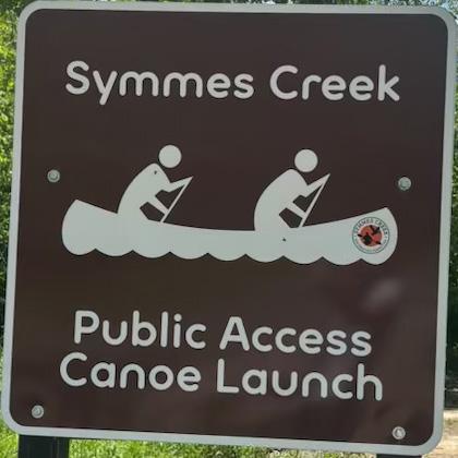
- River & stream kayak launches
- Camping & cabin rentals
- Shape identity with branding
- Build pride with beautification
- Support recreation with multi-modal trails & wayfinding
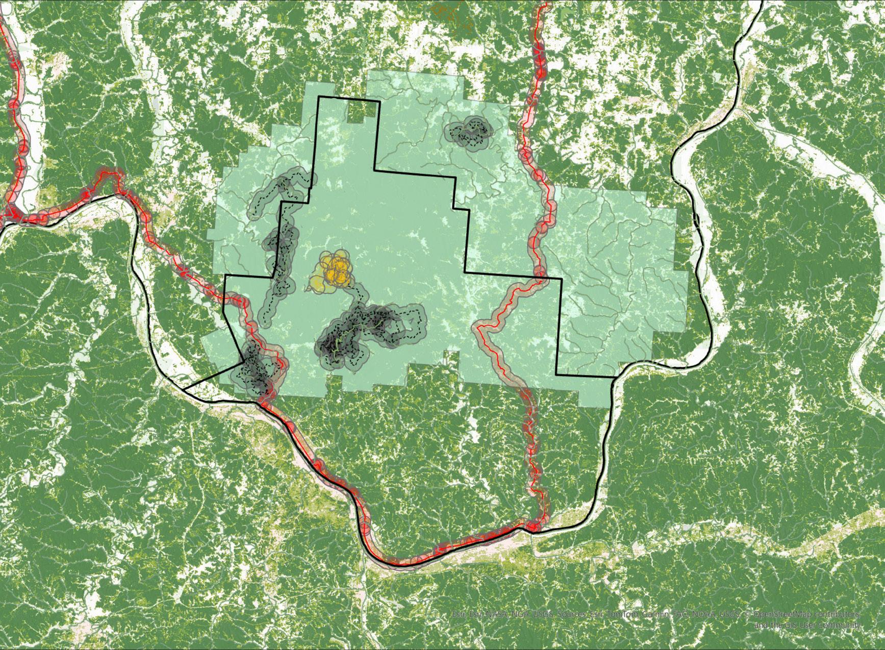
This map showcases our main project strategies, as well as a map of our strategy zones, representing where our principles, restore, link, and community, are being used the most throughout the county. This map also highlights the former industry sites of the county, which are the elements we are aiming to conserve and restore as green infrastructure. These sites include the former DT&I railine, strip mine, and furnace.


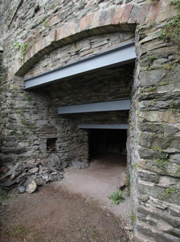
A final restoration strategy we are taking point on is conserving a former industrial furnace as a museum or historical landmark.


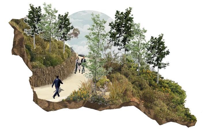
A strategy we are using contributing to restoring green infrastructure in Lawrence County is conserving the a former strip mine off the proposed trail as a recreation area for residents and families.


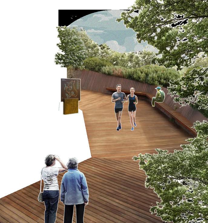
A strategy we are using to link Lawrence County is restoring the former industrial rail line as a trail going through the Wayne National Forest.
Cabin Rental | Smithville, TN | 2018
» Built out of aromatic red cedar found on site using board on board method (no studs or insulation, easy install)
» Worldwide Opportunities on Organic farms (WWOOF) volunteers helped build at no cost
» Accessible via a 200-yard up-hill hike
» 2-3 Miles to Smithville and Edgar Evins State Park
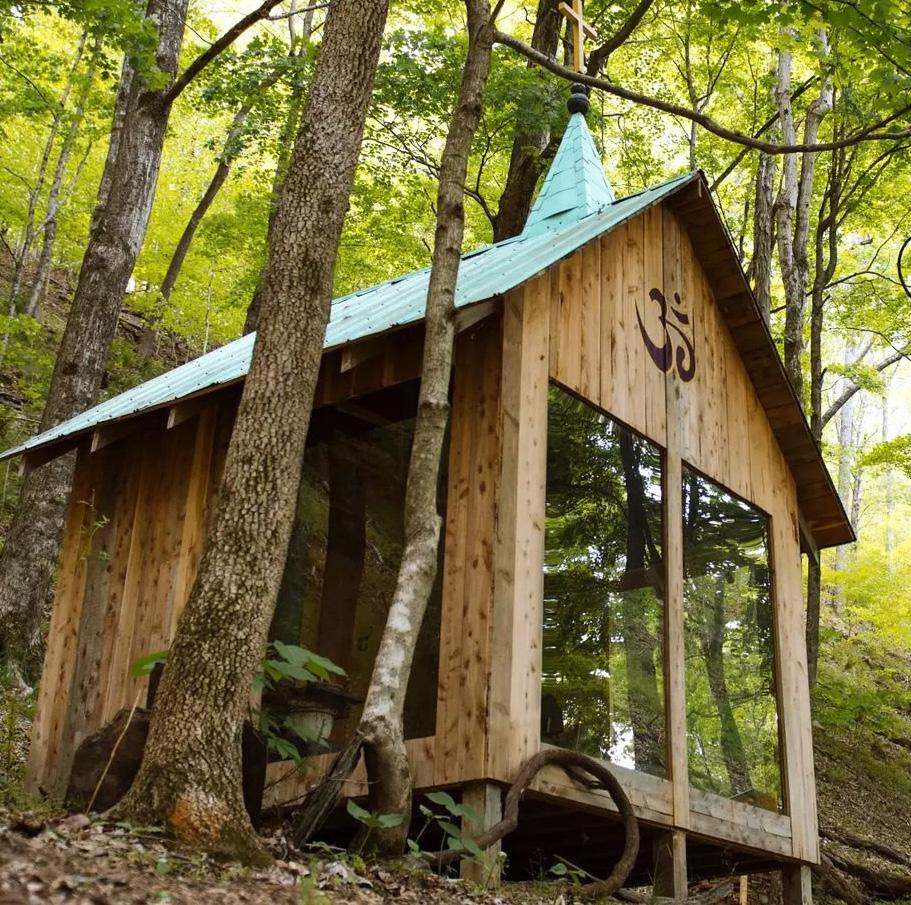
$62 /night
Street Beautification | Gunnersville, AL | 2001
» 7-member Municipal Board dedicated to the beautification of the city
» Close contact with the City Horticulturist
» Offers beautification awards for property owners
» Gardens, trails, tree plantings, and bench installments
» Recycling/trash receptacles installment

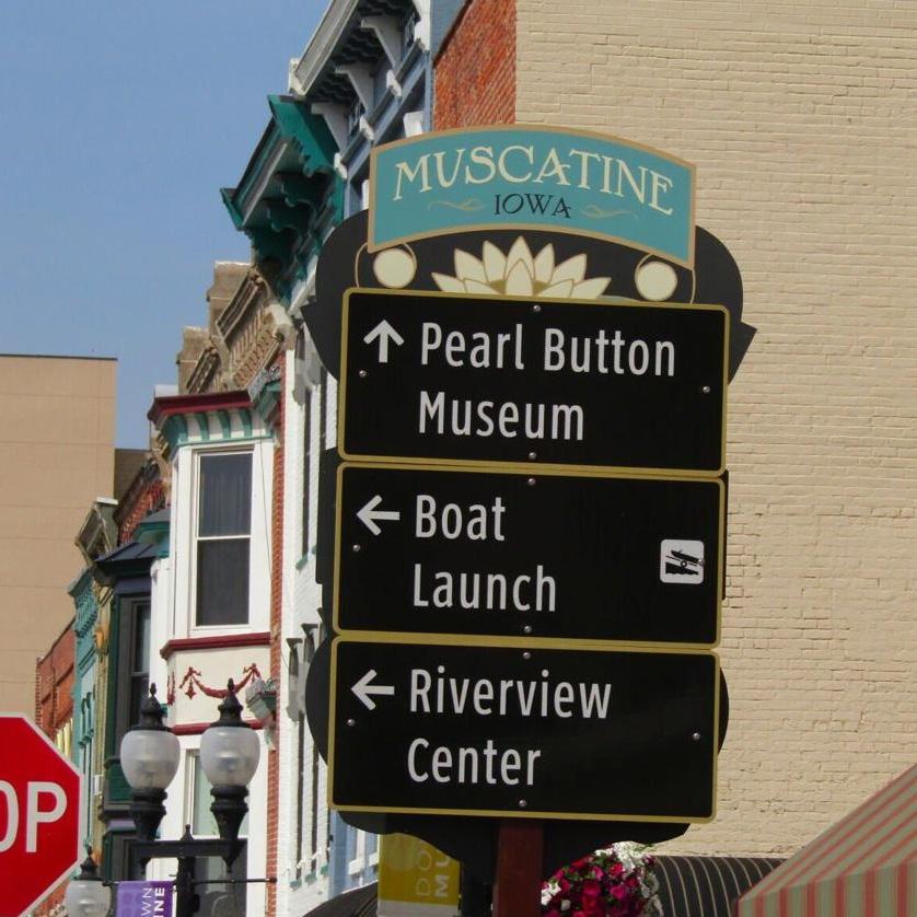
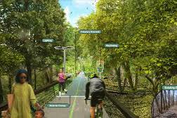
Wayfinding | Muscatine, IA | 2022
» Consistent, visually distinctive signage for motorists, pedestrians, and public parking areas
» Includes monument and gateway signs welcoming travelers to Muscatine, and directional signage linking parks, cultural institutions, and business districts
» Total cost upon completion ~$750,000
Wildlife Conservation | Buchanan County, VA | 2010
» Restored grassland habitat, surrounded by woodland edges on restored strip mine in Appalachian Virginia
» Three wildlife viewing stations
» Elk, grassland birds, wild turkey, black bears, and butterflies graze and live on or pass through the habitat
» Supported by the Virginia Department of Wildlife Resources


The intent of this project is to restore the mine with a combination of re-vegetation and recreation strategies, creating a communal spot off of the restored trail that provides a family-friendly and inclusive park area for people to gather, walk, fish, and enjoy the natural amenities.
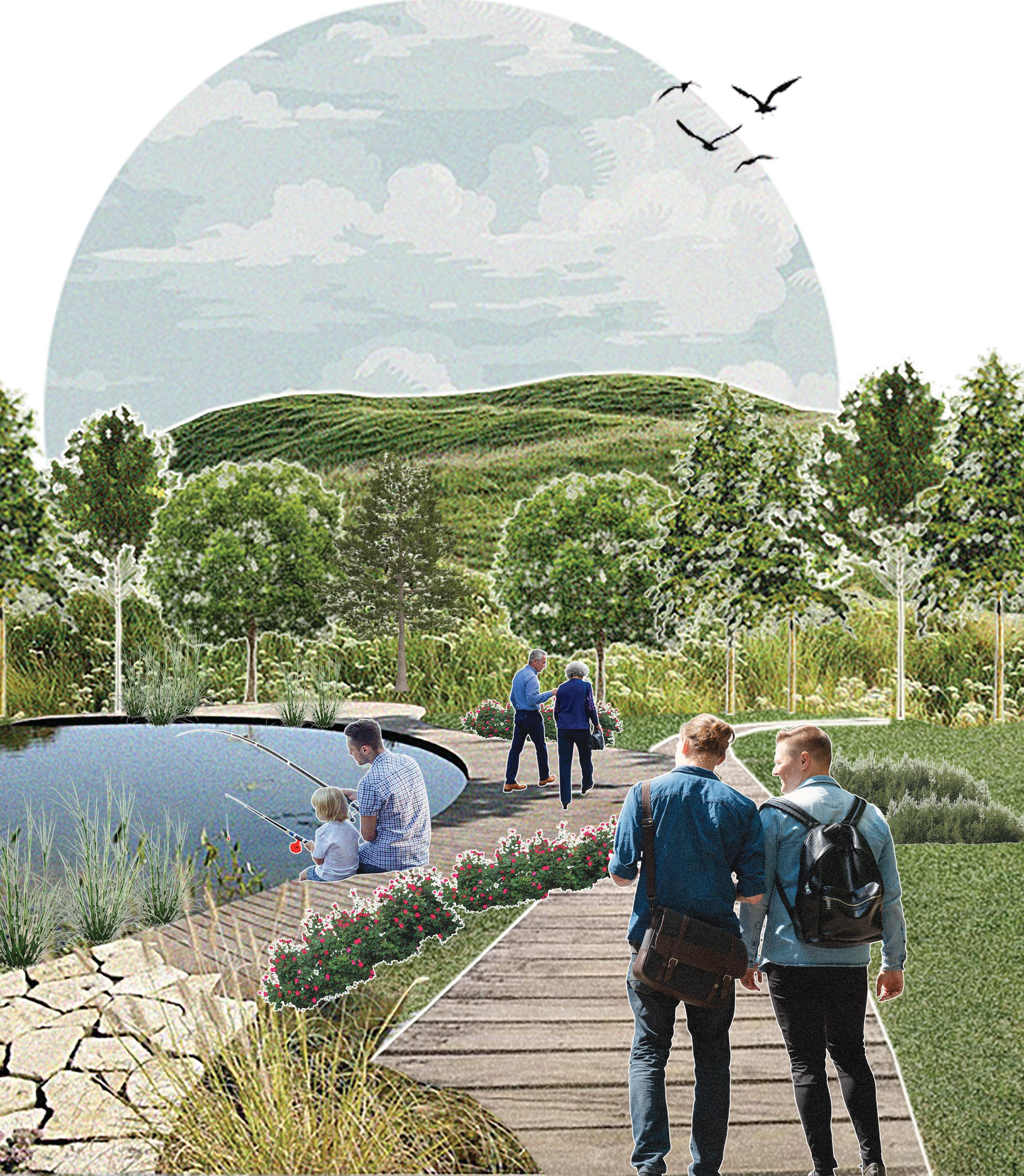


Constraints: Lack of clean topsoil, sparse tree cover, poor drainage, and potential acid mine drainage.

1-2 MILES OF PAVED PATHS FOR CASUAL USE
6-8 MILES OF PAVED PATHS FOR CYCLISTS AND HIKERS

2-4 PONDS FOR ANIMAL HABITAT AND RECREATIONAL USE
SITE PLAN: WHERE ARE OUR OTHER STRATEGIES BEING USED IN THIS SITE?
LINKING ECOLOGICAL RESTORATION AND MINE HISTORY

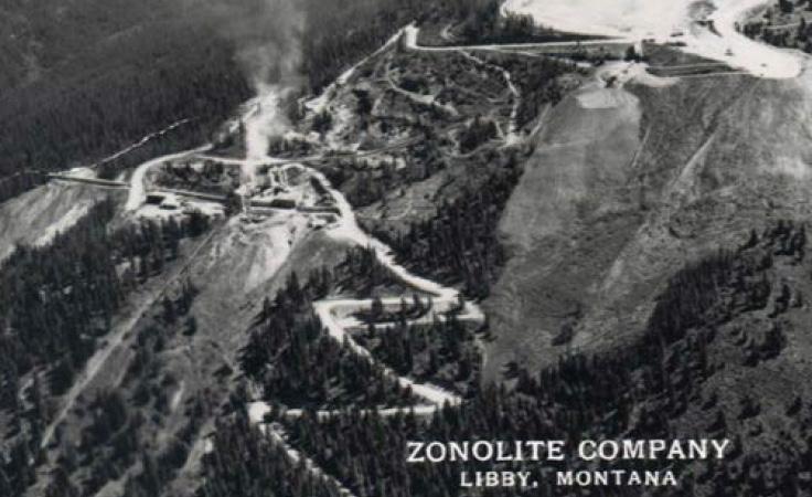
City of Libby, Lincoln County, Montana Community-Focused Redevelopment
Steps the EPA is taking to remedy the site:
» Put in soil covers to contain some areas of surface contamination.
» Remove contaminated materials in proposed utility corridor areas and dispose of them off site.
» Place a visible marker layer at the bottom of the cover to show the extent of cleanup.
» Use clean fill for excavated areas and soil covers from outside the Libby valley.
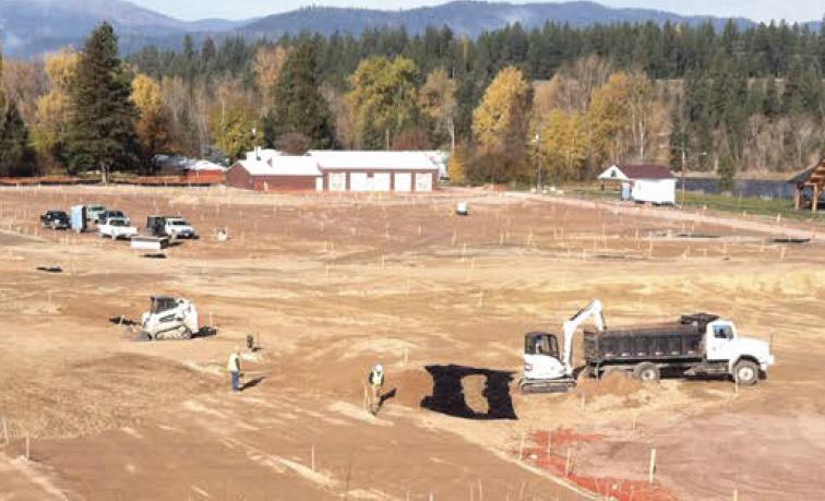
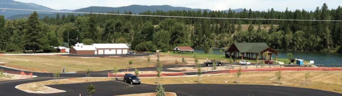
» Riverfront Park and recreational amenities were co-designed with locals to serve as community hubs.
» Emphasizes value of engaging the community early to align reuse with local needs.
Funding:
» US Soil Service provided 170 tree seedlings.
» Montana Department of Natural Resources and Conservation and the Society of American Foresters provided $10,000 in grant money for purchasing trees.
Re-vegetation, storm water management, and roadbed installation
Recreation Park
» Cleaned and re-purposed former rail/plant/export areas.
» Opened in 2013 with pavilions, fishing access, memorial, and community event areas.
» Winner of EPA Region 8 Excellence in Site Reuse award in 2018
2,600+ Properties re-mediated 1,000,000+ Cubic Yards of Contaminated Material Removed
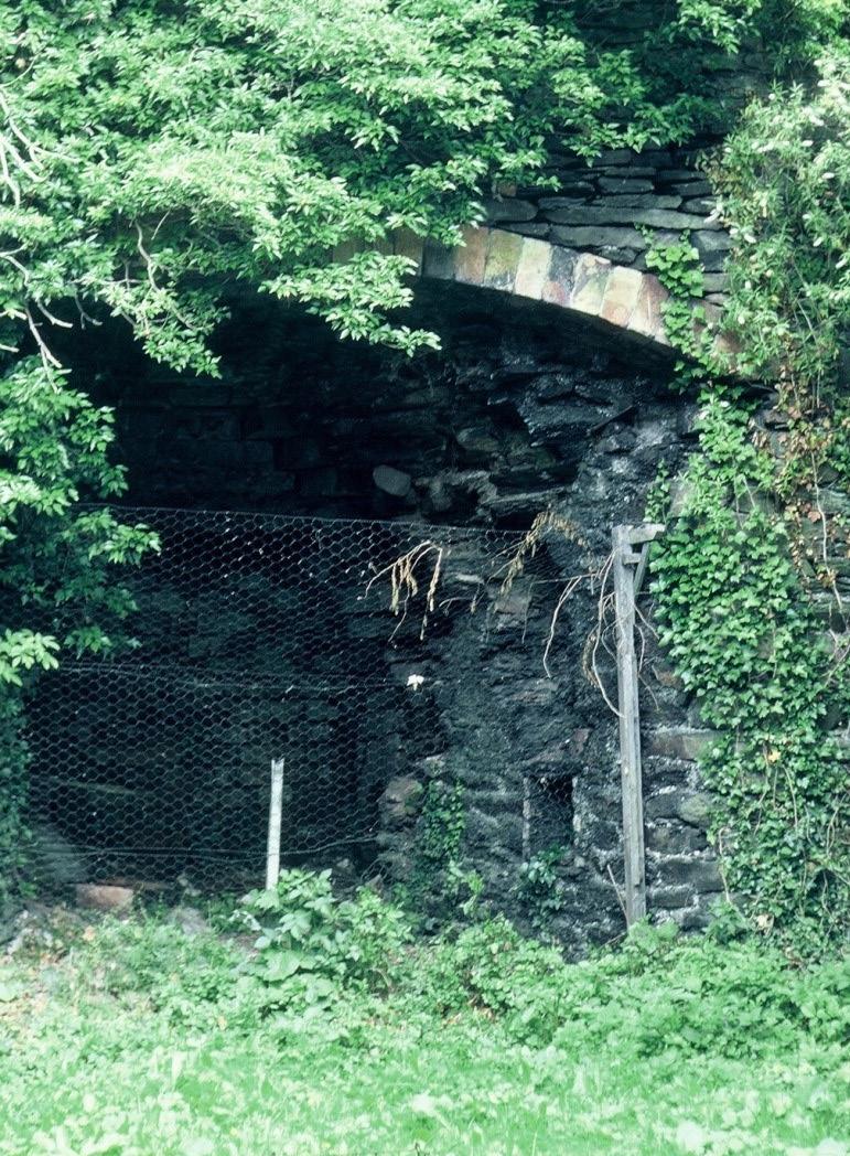
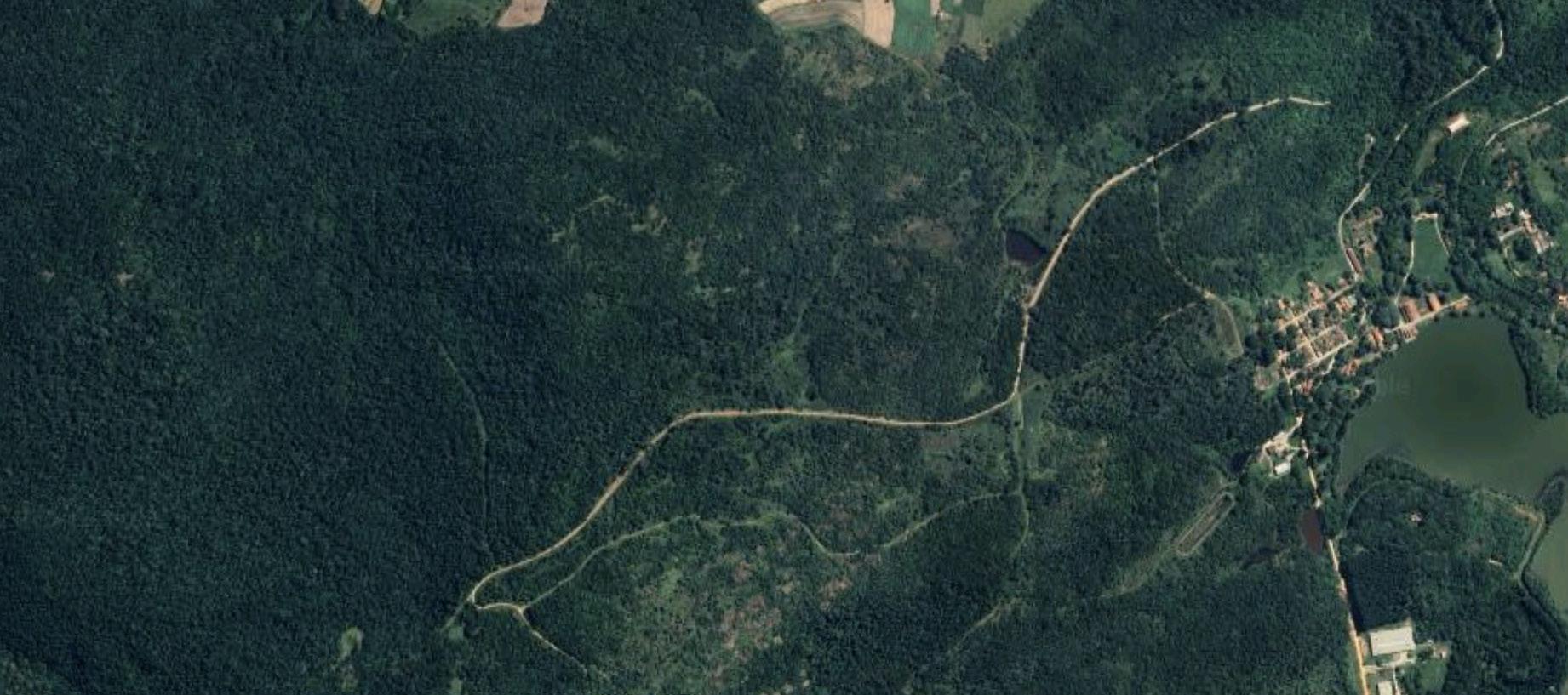
The Buckhorn Furnace - decommissioned in 1899 - is located in Decatur Township, towards the northern portion of Lawrence County near the CH&D rail line. It has sat abandoned since the end of the 19th century, with no existing restoration plans. This proposal suggests retrofitting the furnace into a landmark and small outdoor museum, detailing the history of iron smelting in the Hanging Rock Region.
Constraints: private property acquisition, remote location, hilly
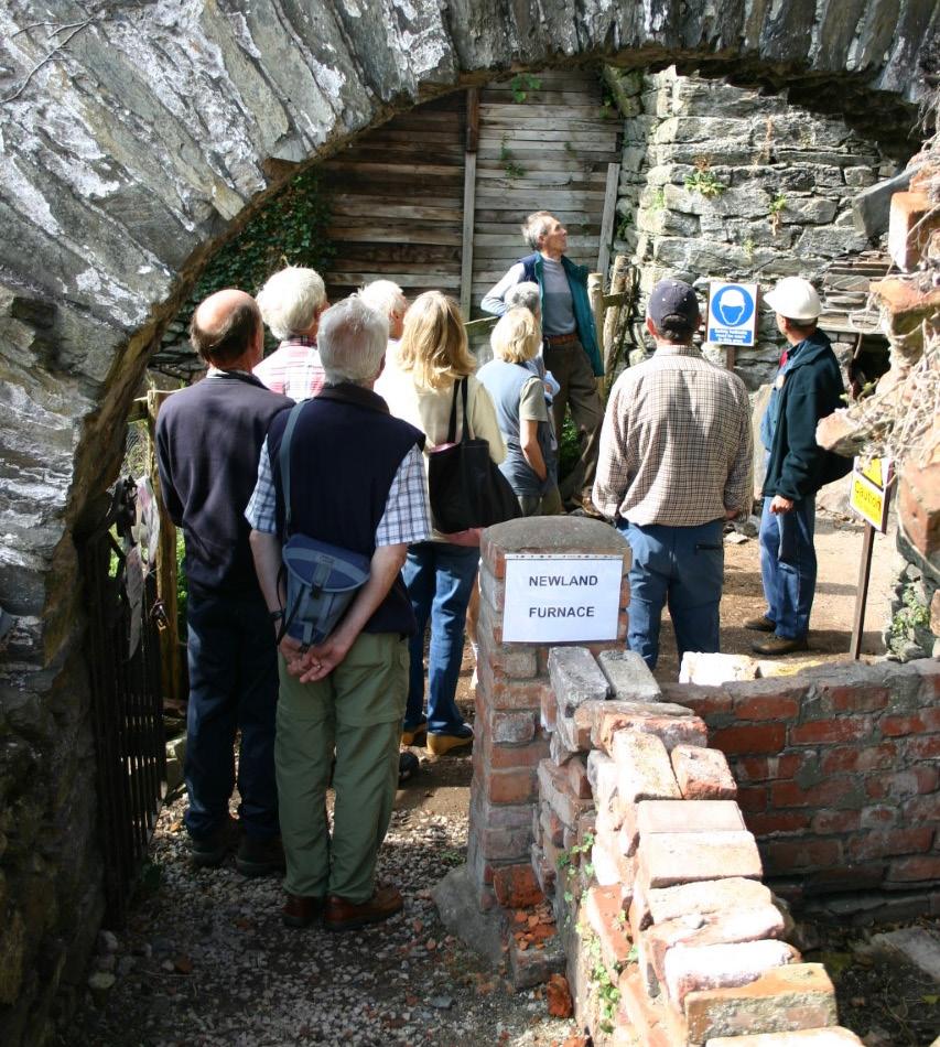
Newland, England & Sorocaba, Brazil | >1988

What do they look like?


RETROFIT CONSERVE
Active restoration processes
Offering tours, by appointment
Prioritizing surrounding landscape
Integrating
Furnace plot to surroundings
» The Newland Furnace Trust preserves the remains of the historic blast furnace
» English Heritage Foundation provided substantial aid to repair roof
» Volunteers maintain the furnace, guide visitors and research the history of the furnace
Before After
Fábrica de Ferro - Sorocaba, Brazil
» First operating ironworks in Brazil, operating for nearly 115 years, before ceasing operations in 1926
» The Fábrica de Ferro de Ipanema retains less than 20% of its original footprint
» Twin blast furnaces still exist in custody of the Brazilian Ministry of the Environment , adjacent to the National Forest of Ipanema
de Ferro Ipanema Forest
Reconsidering structure function
Keeping physical condition
-
» Excavate existing furnace floor
» Improve access and to display the remains of the old blowing system
Operating Tours
» The site documents the evolution of Brazilian industrial methods through preserved machinery and technical drawings Historical Representation
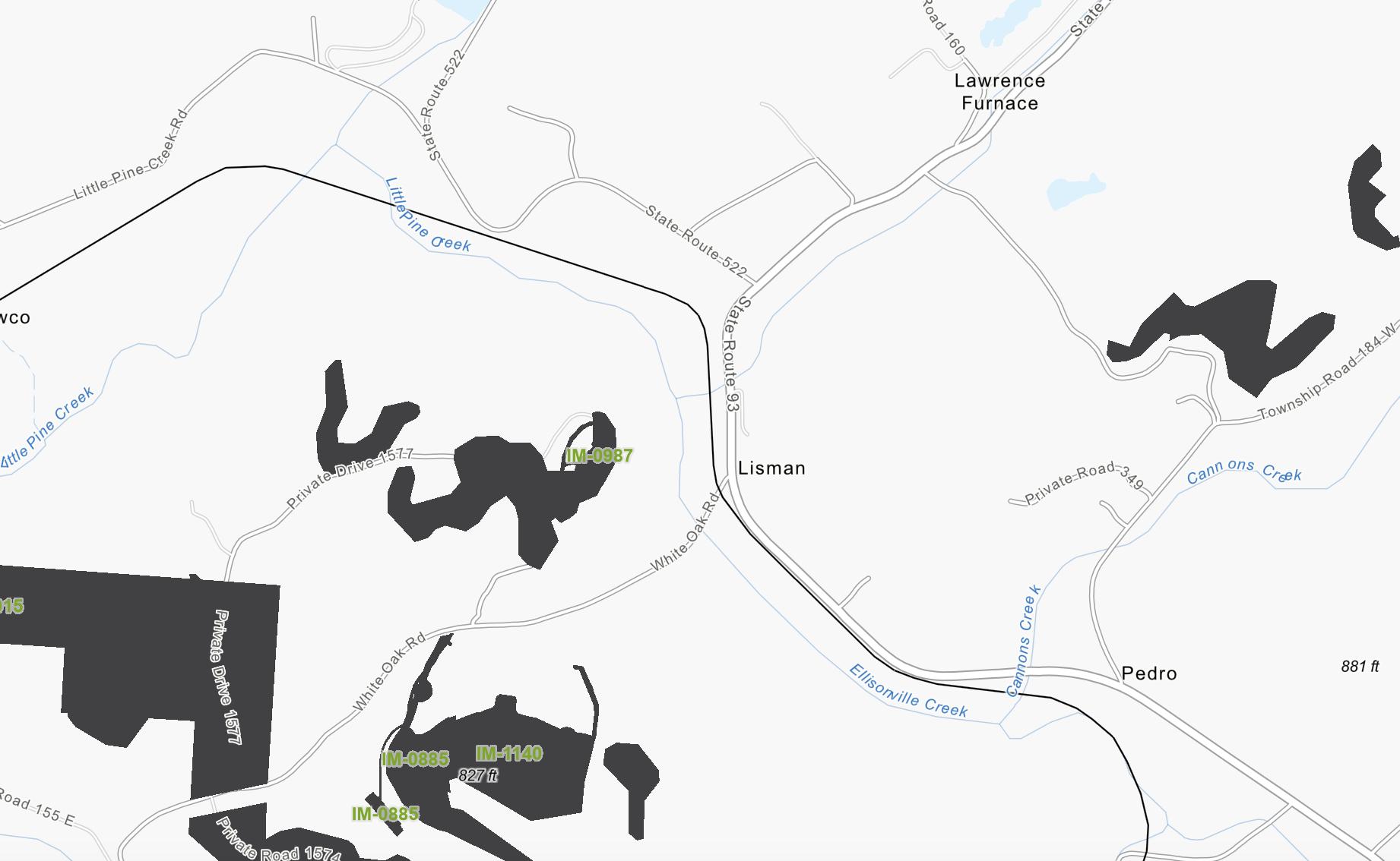
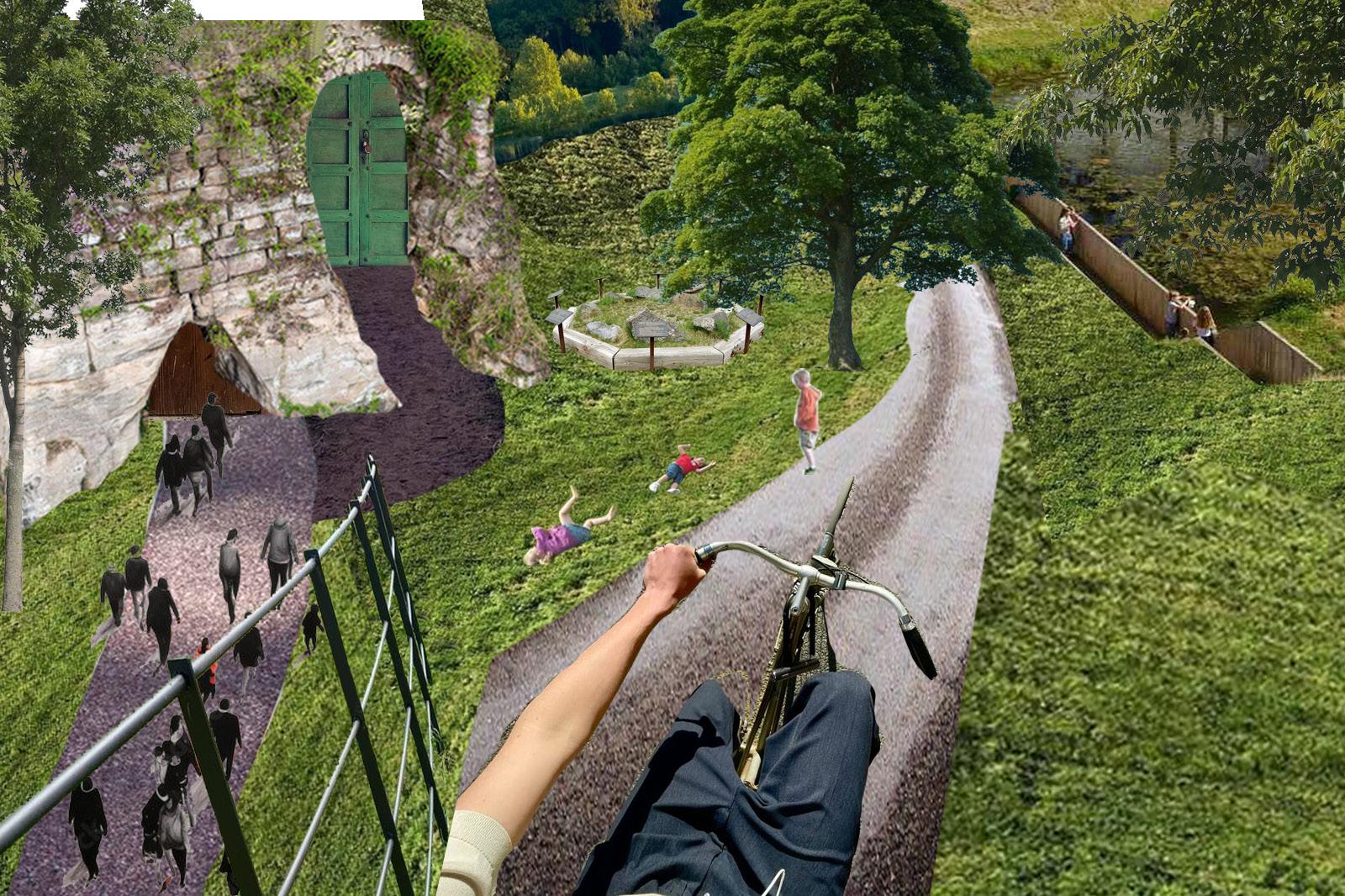
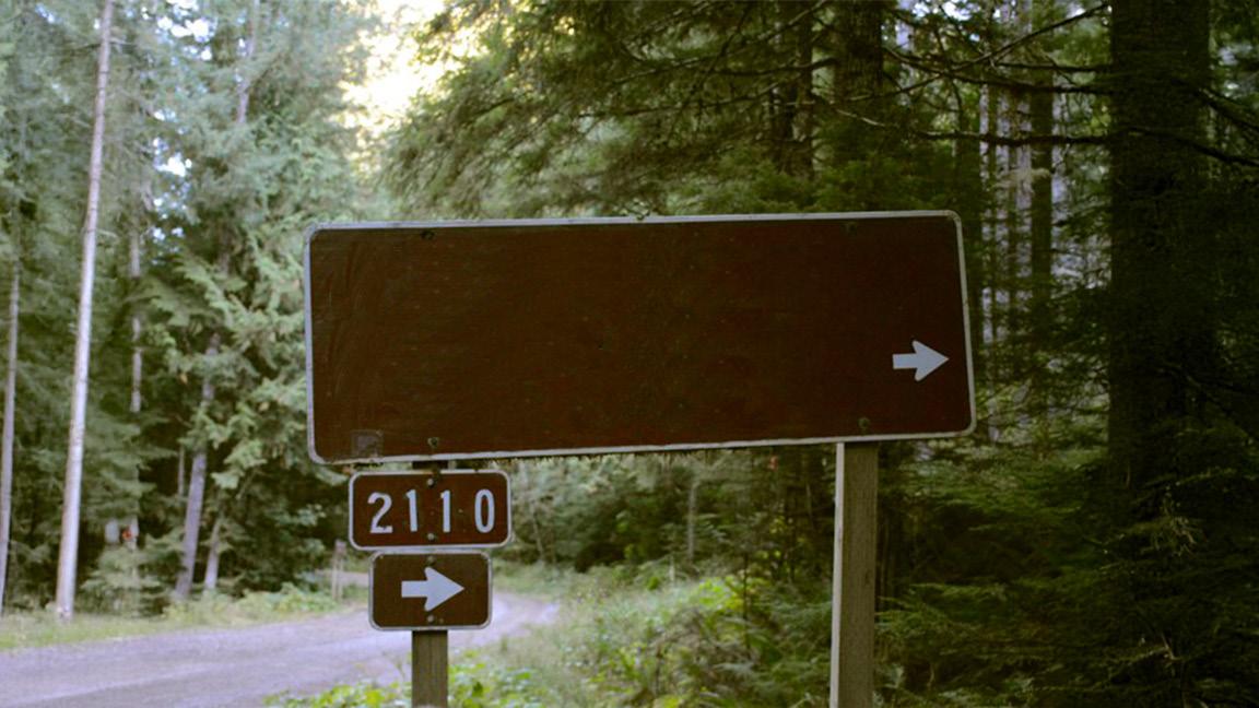
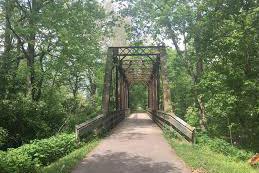
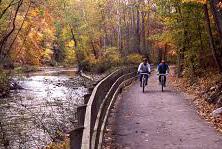
The old Detroit Toledo & Ironton (DT&I), Grand Trunk Western, Pennsylvania, Penn Central train line. Primarily exported iron from Ironton in Lawrence County to Toledo and Detroit. This trail would effectively connect the city of Ironton to the forest; promoting hiking, walking, and running.
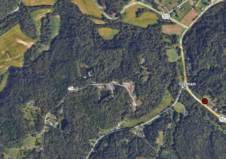
The second 13.9 miles would start where Phase 1 left off, in Lisman. This phase of the trail would consist of a compact gravel pathway. This portion would successfully connect Ironton to Wayne National Forest, allowing residents better access to the natural resource.
-Harsh Topography
-Finding Funding
Constraints: -Residents -Tourists
-Private Property
Potential Users: 27.8
-Runners!
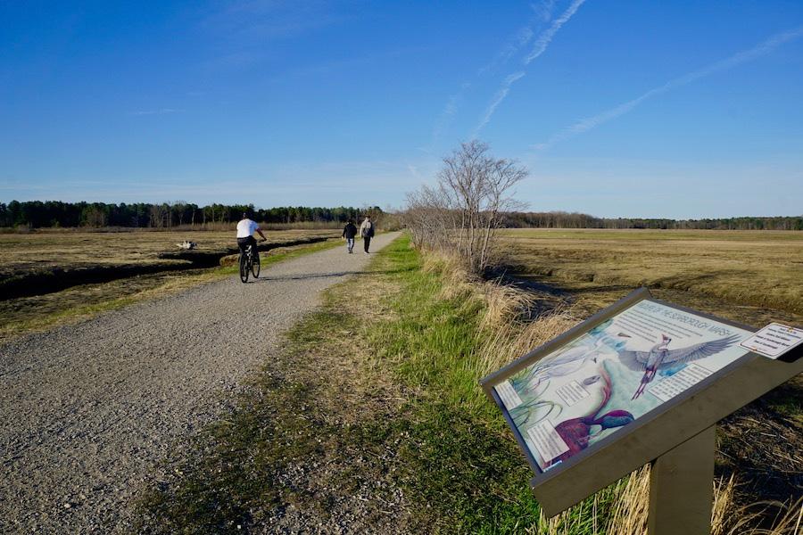
First 13.9 miles of the trail. Features boardwalk trail from the City of Ironton to the edge of Wayne National Forest. Connects surface mine and iron furnace conservation projects; including aspects of wayfinding.
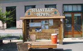
Rails-to-Trails | Susanville, CA | 1986
What is it?
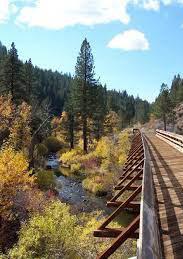
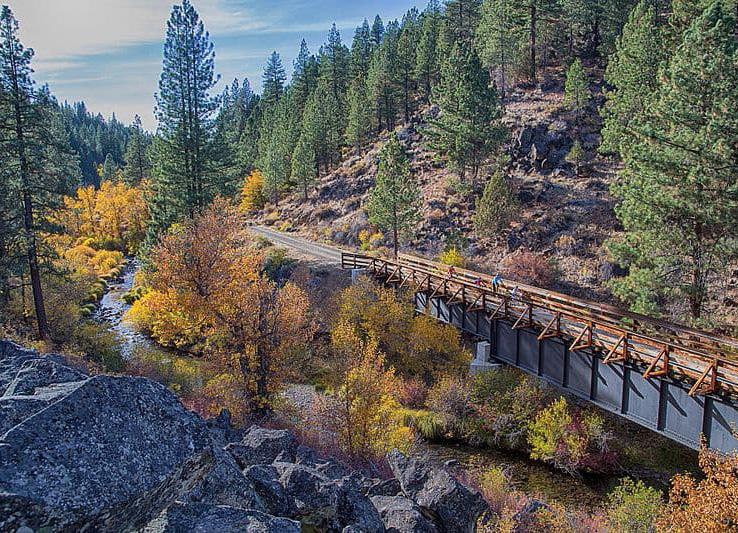
» Rails-to-Trails project along the old Fernley and Lassen Branch Line of the Southern Pacific Railroad
» 25.4 mile trail through the rugged terrain of Susan River Canyon
» The first 16 miles run along the Susan River, crossing over it 12 times on bridges and trestles.
» Goes through 2 tunnels
3 trailheads
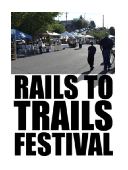
Festivals + Recognition
» Annual rails-to-trails festivals held at the Historic Railroad Depot across from the Bizz Johnson Susanville Trail head.
» Earned one of the eight feature spots on the Rails-to-Trails Conservancy’s 1997 “Fall Foliage on the Web"
25.4 miles
Funding
» Recreational Trails Program (RTP)
» Land and Water Conservation Fund (LWCF)
» Federal Highway Administration (FHWA)
» Infrastructure Investment and Jobs Act (IIJA) - funding for public lands and outdoor recreation infrastructure
» California's Active Transportation Program (ATP)
» Sierra Nevada Conservancy Grants
» California Department of Parks and Recreation Grants
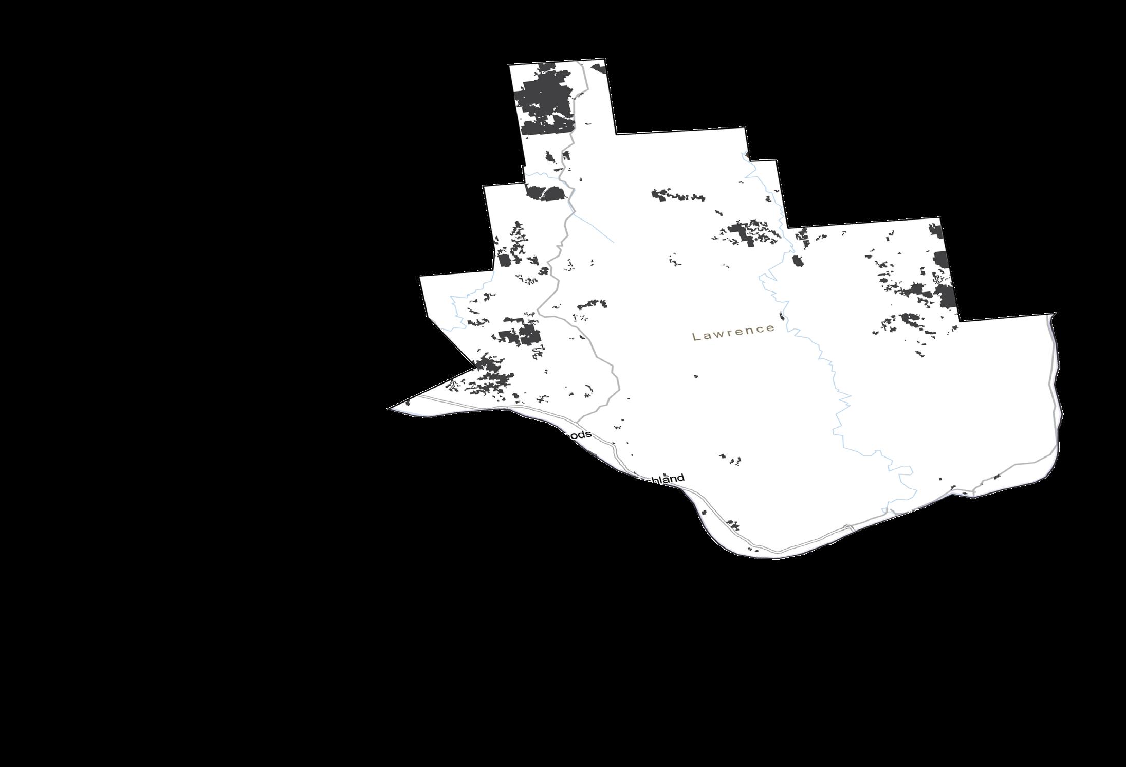
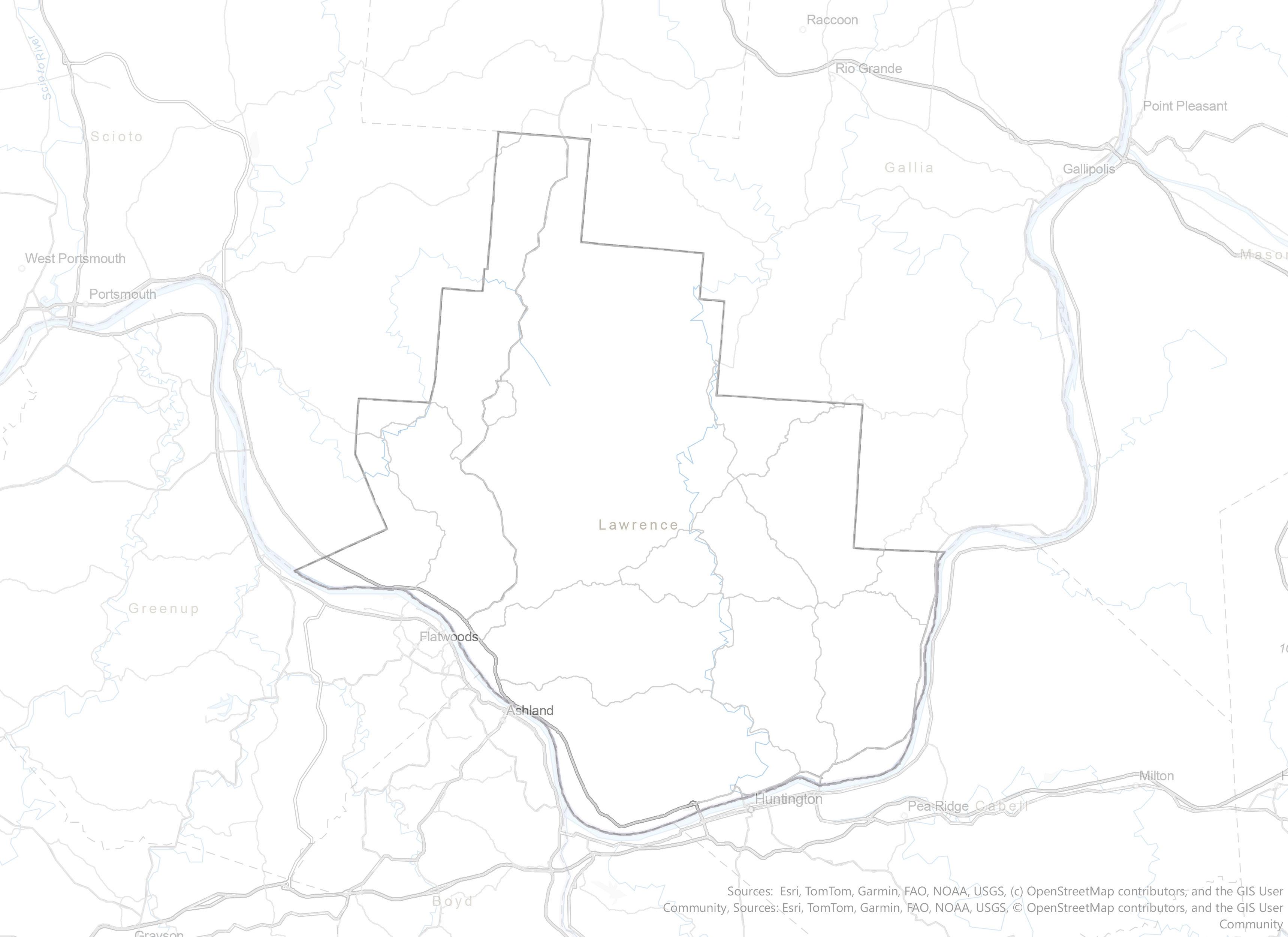
In 2025, The DT&I footprint ran through 72 pacels, Most of the land belongs to private owners and is residential (500-599). However, A large share of parcels belong to government entities, which usually means smoother acquisition processes.
Shown are the twelve most prevalent land use classifications in Ohio. In the aforementioned map, we can visualize classifications are most concentrated along the DT&I line.
Parcels along the DT&I footprint range drastically in appraisal value. With the accumulation of various state and federal funding sources, Lawrence County can produce the necessary funds to acquire all or portions of these parcels. Shown below are some examples of private parcels
SOUTH PORTLANDSCARBOROUGH CONNECTOR
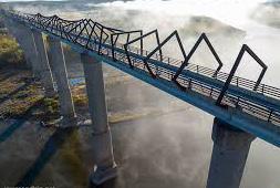
The connector trail, located in Portland, ME, Provides a trail with a minimum clearance of 22' over tracks, with pathway width totaling 14 feet. The trail also hosts numerous bridges and tunnels. It is part of the extensive Eastern Trail. Cost estimations derive from a 2006 report on an 8 mile trail extension.
SOUTH PORTLAND-SCARBOROUGH CONNECTOR
WHY THE CONNECTOR?
Lawrence County and SE Maine harbor similar topographies, with rolling hills and thick deciduous forests. Their natural elements are usually uninterrupted by human footprints, minimizing interruptions.
Precedent | $ amount | Length of trail


Transportation Alternatives (TA) Grants
Little Miami Scenic Trail Connection
$750,000 Grant
2 mile trail
Ohio Department of Transportation (ODOT)
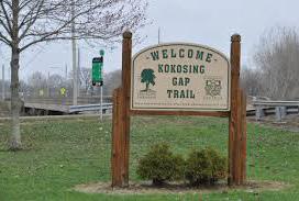
Kokosing Gap Trail Repaving
$1.14 Million
13.5 mile trail
Clean Ohio Trails Fund Grant (COTF)
Red Line Greenway (Cleveland Metroparks)
$500,000 Grant 2 mile trail
Recreational Trail Program (RTP)
Wayne National Forest
$150,000 Grant to maintain 35 miles of trail
$150,000 Grant to construct 3.5 miles of trail
Ohio Public Works Commission (OPWC)
Linden Green Line in Columbus
$2.5 million grant matched by city funds, totaling over $4.9 million
7 mile trail
Precedent | $ amount | Length of trail


Land and Water Conservation Fund (LWCF)
Cuyahoga Valley National Park Trail Enhancements
$1 Million Grant 8 mile trail
Federal Highway Administration (FHWA)
High Trestle Trail (Iowa)
$4 Million
750-foot bridge and trail redevelopment
RAISE Grants
Martinsburg Greenway Trail Project (West Virginia)
$20.8 Million Grant
Infrastructure Investments and Job Act (IIJA)
Paso del Norte Trail (Texas)
$1 Million
2 mile trail
Rails to Trails Conservancy (RTC)
Hot Springs Parks & Trails (Arkansas)
$7,500 to support early development and designs of trail
Public-Private Partnership Between 3 Groups
Partners with public agencies to develop multi-use trails. Has a strong history of protecting natural corridors and forests in the Appalachian foothills. Can own it, and work with local governments to maintain it.
Loveland to Milford Segment - 12 Miles
Ownership
Ohio Department of Natural Resources (ODNR)
Local municipalities (e.g., City of Loveland)
Clermont County Park District
27.8 Mile Trail
Ownership
The Nature Conservancy
Lawrence County Commissioners
Rails to Trails Conservancy
Eligible for ODNR, Clean Ohio, TAP, and LWCF grants. Can own land, levy taxes, and hire staff for maintenance. Can also partner with nonprofits for operations and management.
Annual Maintenance Costs
Estimated $1,500–$2,000 per mile per year
For 12 miles: approximately $18,000–$24,000 annually for:
» Surface repairs
» Vegetation control
» Trash removal
» Signage maintenance
» Bridge inspections
Annual Maintenance Costs
Maintenance
ODNR = Oversees primary maintenance on state park portions
Local municipalities= Responsible for maintenance within their jurisdictions
Volunteer Groups:
» Clears debris
Helps secure environmental grants (Clean Ohio Fund, Ohio EPA funding). Ensures ecological protection alongside recreation.
Provides technical expertise on trail design, rail corridor acquisition, and project management.
» Fundraisers for trail improvements Example:
Estimated $3,000–$4,000 per mile per year
For 27.8 miles: approximately $36,000–$50,000 annually for:
» Surface repairs
» Vegetation control
» Trash removal
» Signage maintenance
» Bridge inspections
Maintenance
Conservancies = Environmental protection & habitat management
Local municipalities= Legal ownership & liability management
Volunteer Groups:
» Clears debris & Litter
» Maintains trail shoulders
» Fundraisers for trail improvements
» Drives more connectivity from the river to the forest, bringing the whole county together.
» Creates a communal area for residents to be active.
» Attracts tourists and brings an aspect of tourism into the county for people to see and utilize the national forest.


» Attraction and recognition to the county, providing more access and utilization of their natural amenities.
» Brings up economic activity in the county, events like marathons can be hosted on this future trail.
» Conservation and restoration of the former rail.
» Begin Community Engagement efforts around the trail. » Form a stakeholder group including local government, residents, parks & recreation, business owners, etc. to help launch community engagement.
» Begin restoration of the rail into the trail in phases.
» Look into smaller grant opportunities.