Yuwen Cheng 520540387
Xiaobing Lyu 510264006
Chenchen Wang 520565807
Jingbo Zhang 520074907
Minhao He 530027793
Zhicong Peng 510573920

Yuwen Cheng 520540387
Xiaobing Lyu 510264006
Chenchen Wang 520565807
Jingbo Zhang 520074907
Minhao He 530027793
Zhicong Peng 510573920
We acknowledge the Dharug people who are the traditional custodians of the land of country and pay our respect to the elders past and present of all Aboriginal people visiting the site.
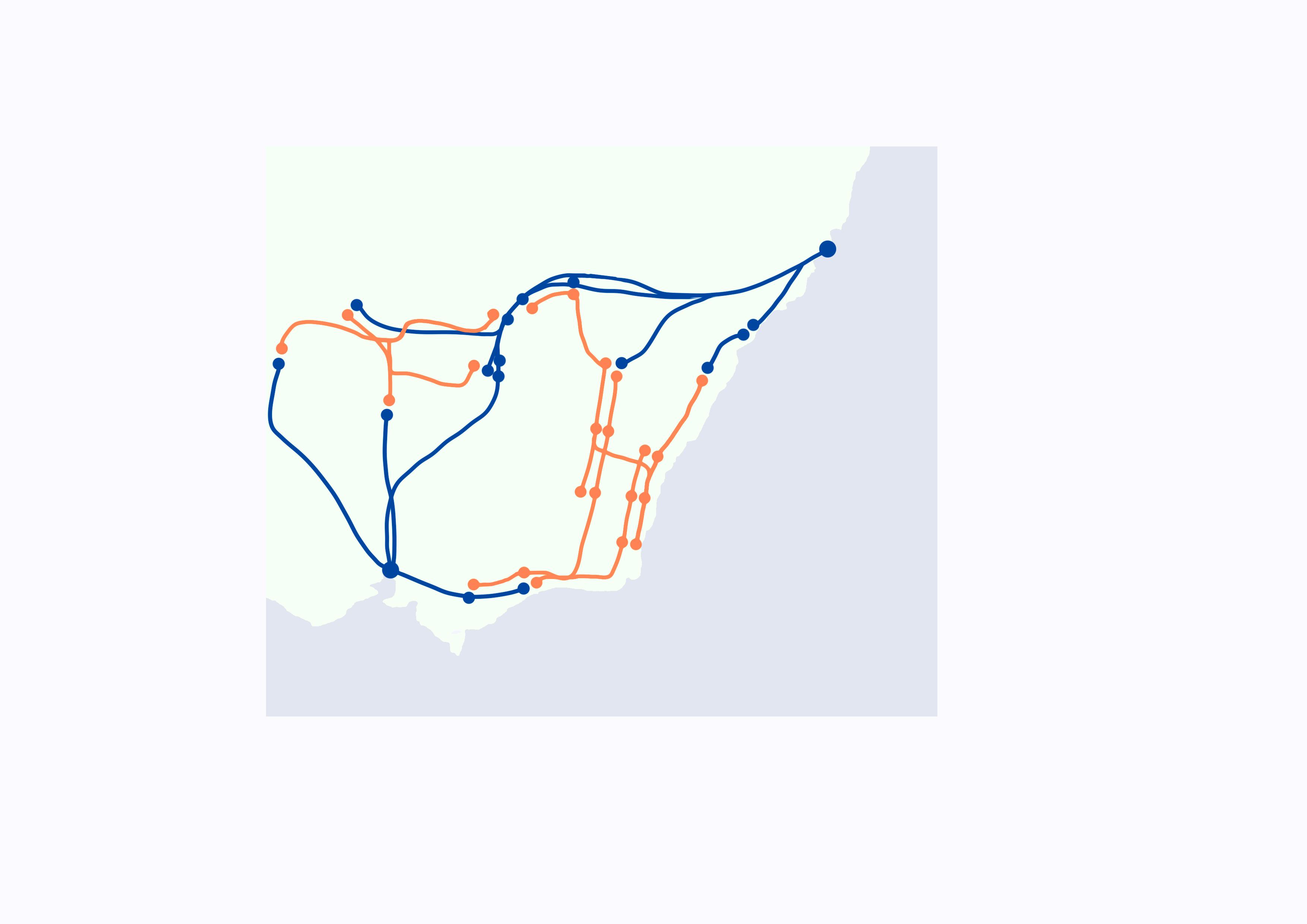
Advantagesof
InlandCorridor
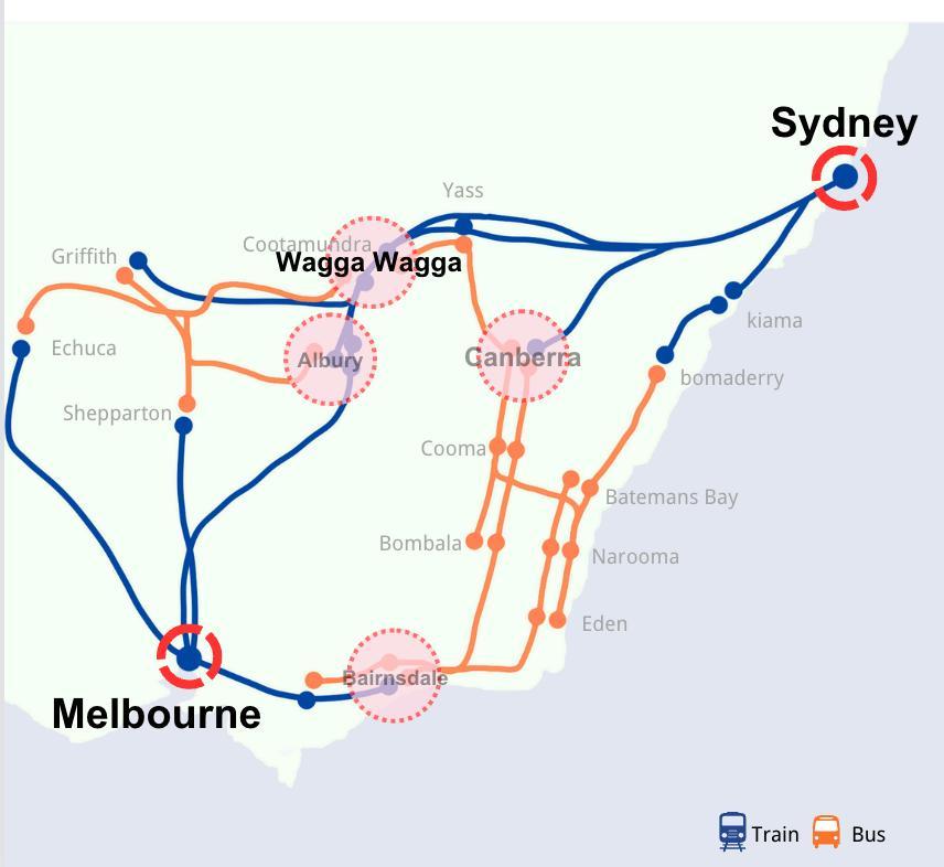
CompleteraillinkbetweenMelbourneandSydney
Less difficult to construct than the Mountain and CoastalCorridor
Relatively short travel distances and relatively low constructionbudgets
Higher development potential compared to other corridors Betterimprovethelackoftransportationresourceson internalroads


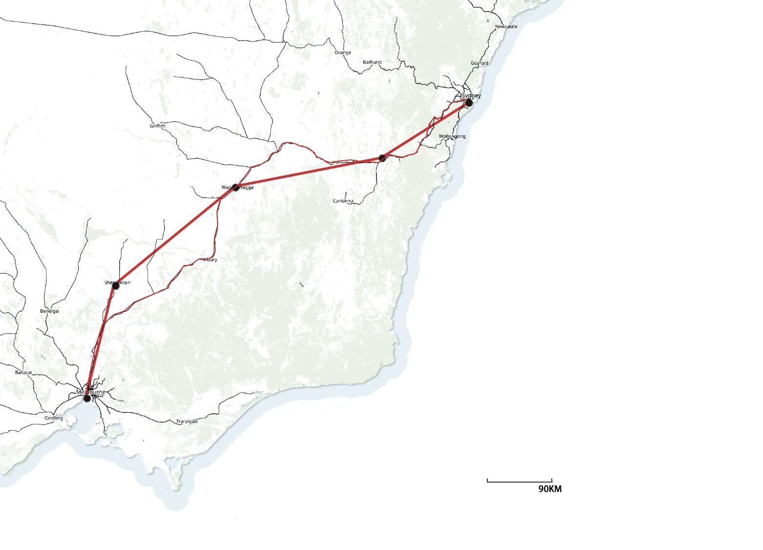
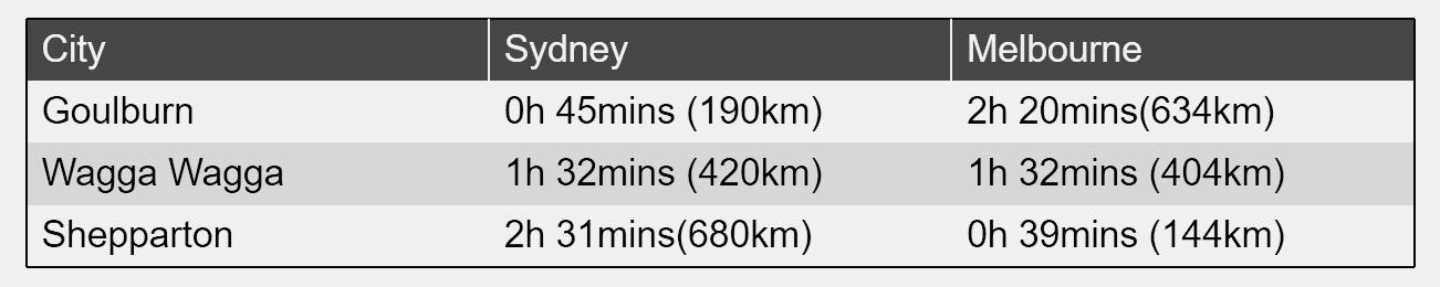
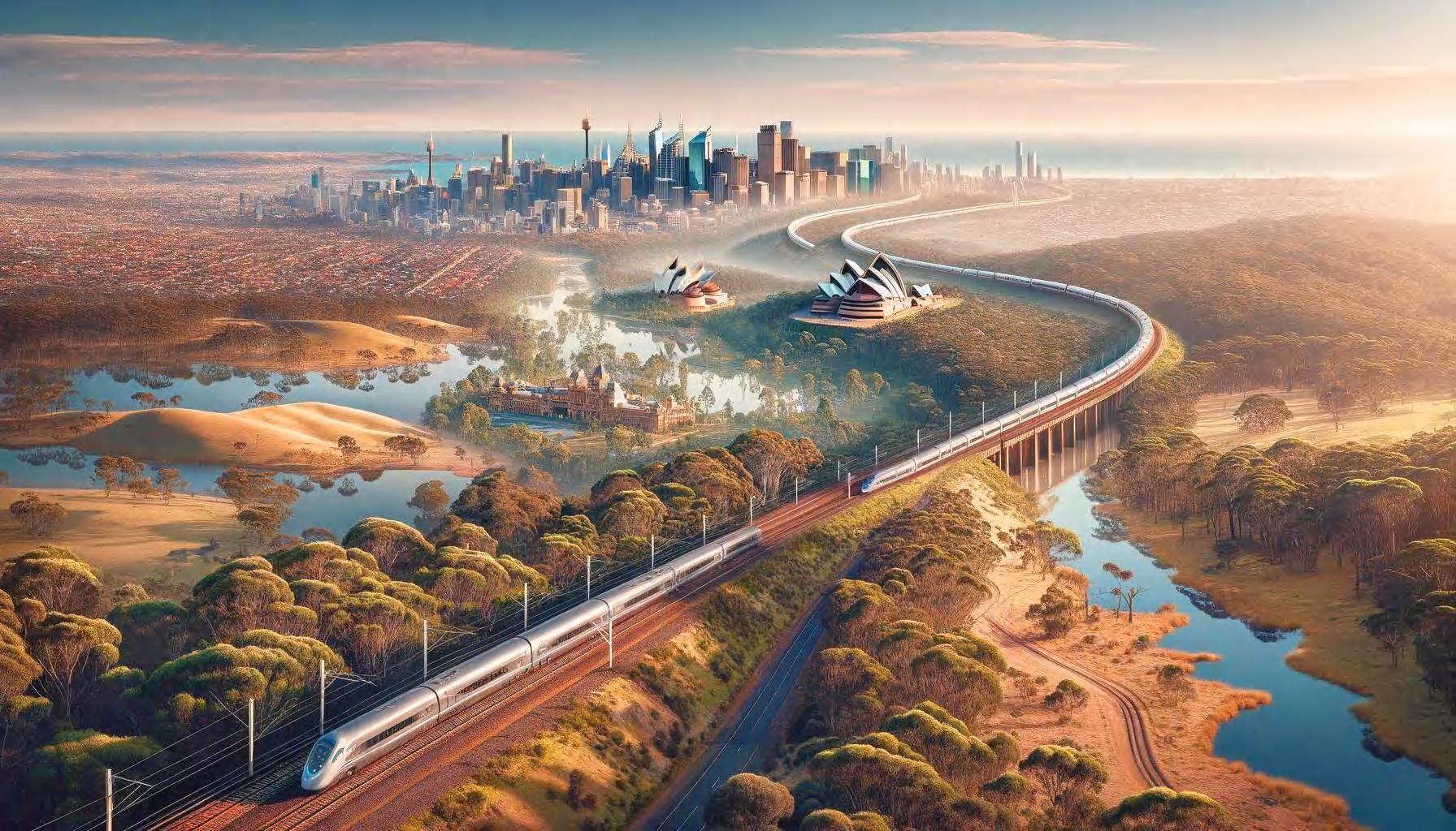
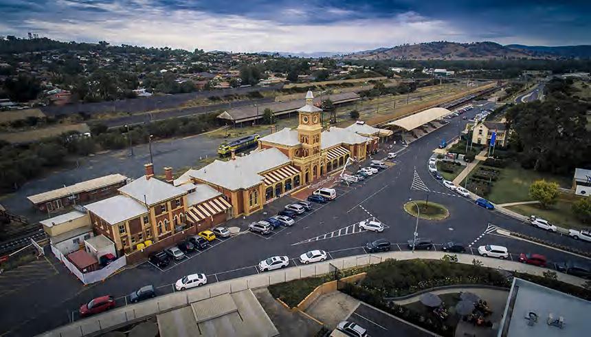
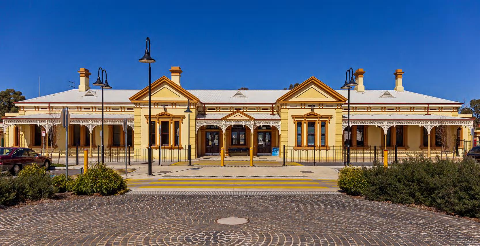
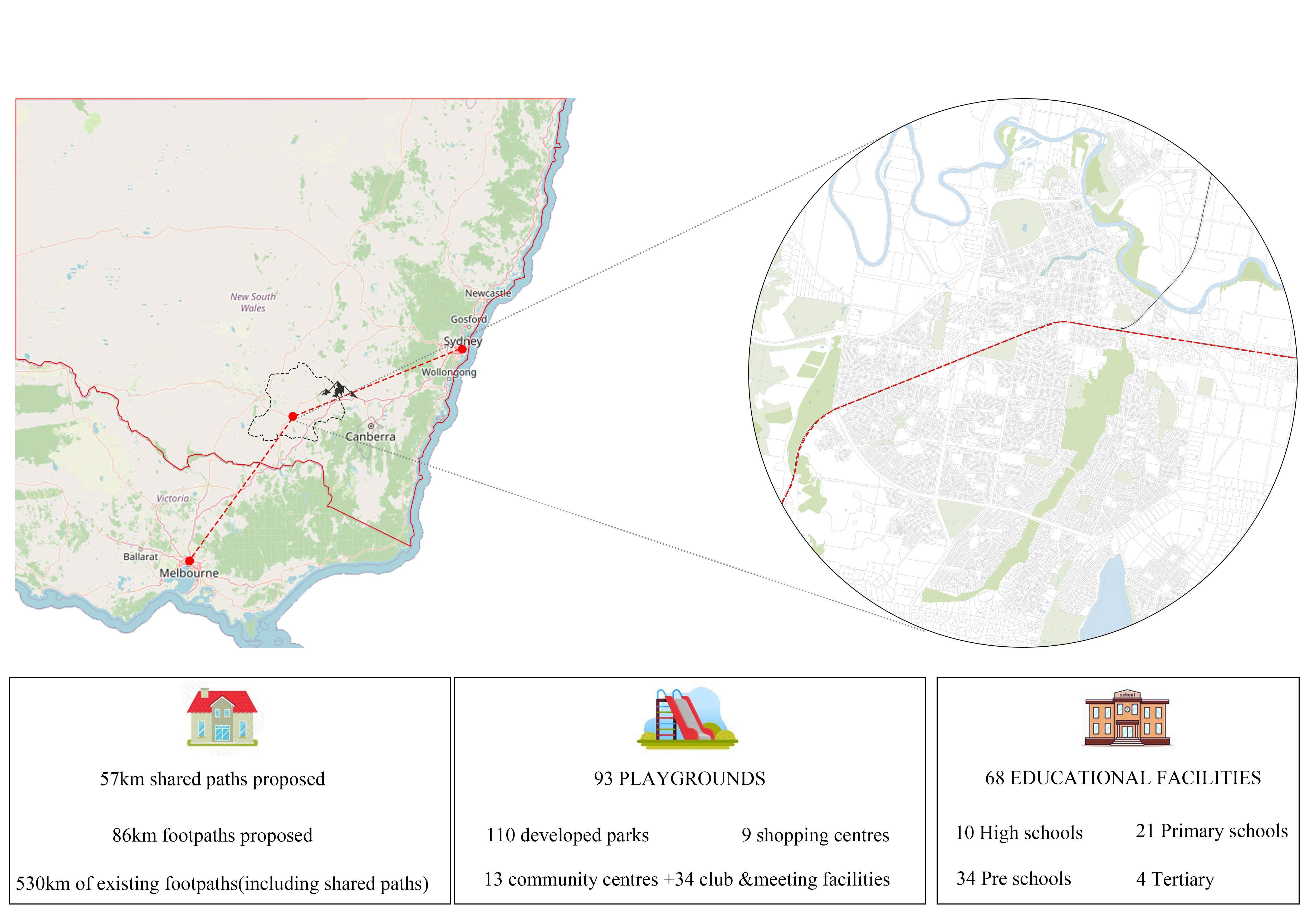
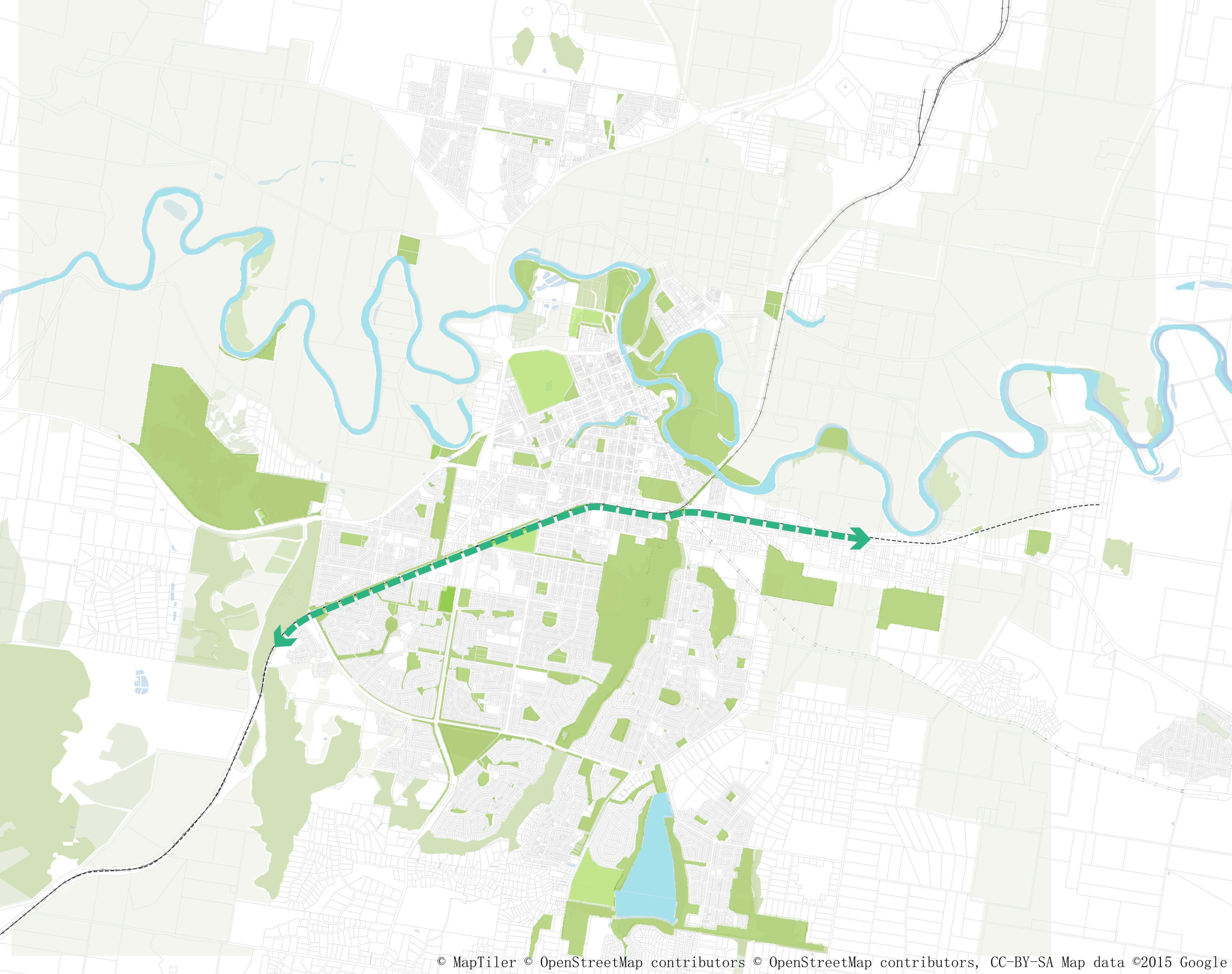
By creating an efficient high-speed rail link between Sydney and Melbourne, we aim to foster the growth of inland regions. Wagga Wagga is poised to benefit the most from this connection due to its central location.
Our aim is to transform Wagga Wagga into a thriving medium-sized city, promoting economic diversity and enhancing livability.
2040
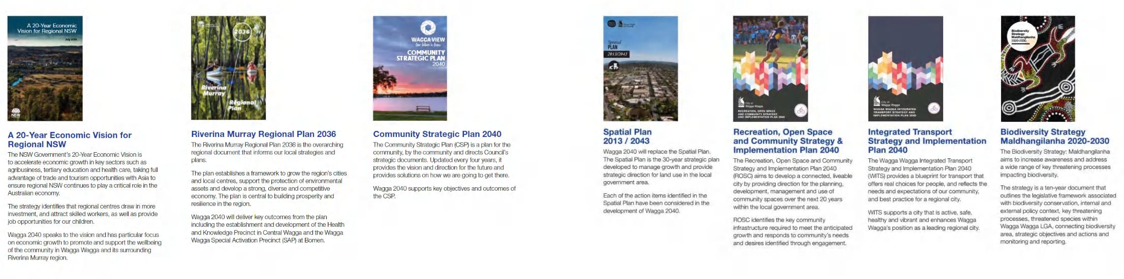
TheCommunityStrategicPlan(CSP)isa planforthecommunity,bythecommunity anddirectsCouncil'sstrategicdocuments.
BIODIVERSITYSTRATEGY
MALDHANGILANHA2020-2030
TheBiodiversityStrategy: Maldhangilanhaaimstoincrease awarenessandaddressawiderangeof keythreateningprocessesimpacting biodiversity.
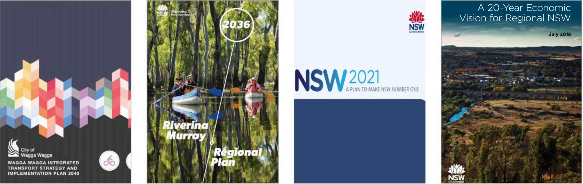
Providesclearstrategicindicatorsforthe developmentofWaggaWaggaoverthe next30years ltisthekeystrategic planningdocumentfordirectingand managingurbangrowthandchange.
RIVERINAMURRAYREGIONAL PLAN,2036
TheRegionalPlanprovidesthestrategy necessarytodeliverthevisionforthe region
RECREATION,OPENSPACEAND COMMUNITYSTRATEGY &IMPLEMENTATIONPLAN2040
TheRecreation,OpenSpaceand CommunityStrategyandImplementation Plan2040(ROSC)aimstodevelopa connected,liveablecity.
INTEGRATEDTRANSPORTSTRATEGY ANDIMPLEMENTATIONPLAN,2040
TheStrategyestablishesastrategic directiontocaterforagrowingeconomy andpopulation
Rare Likelihood

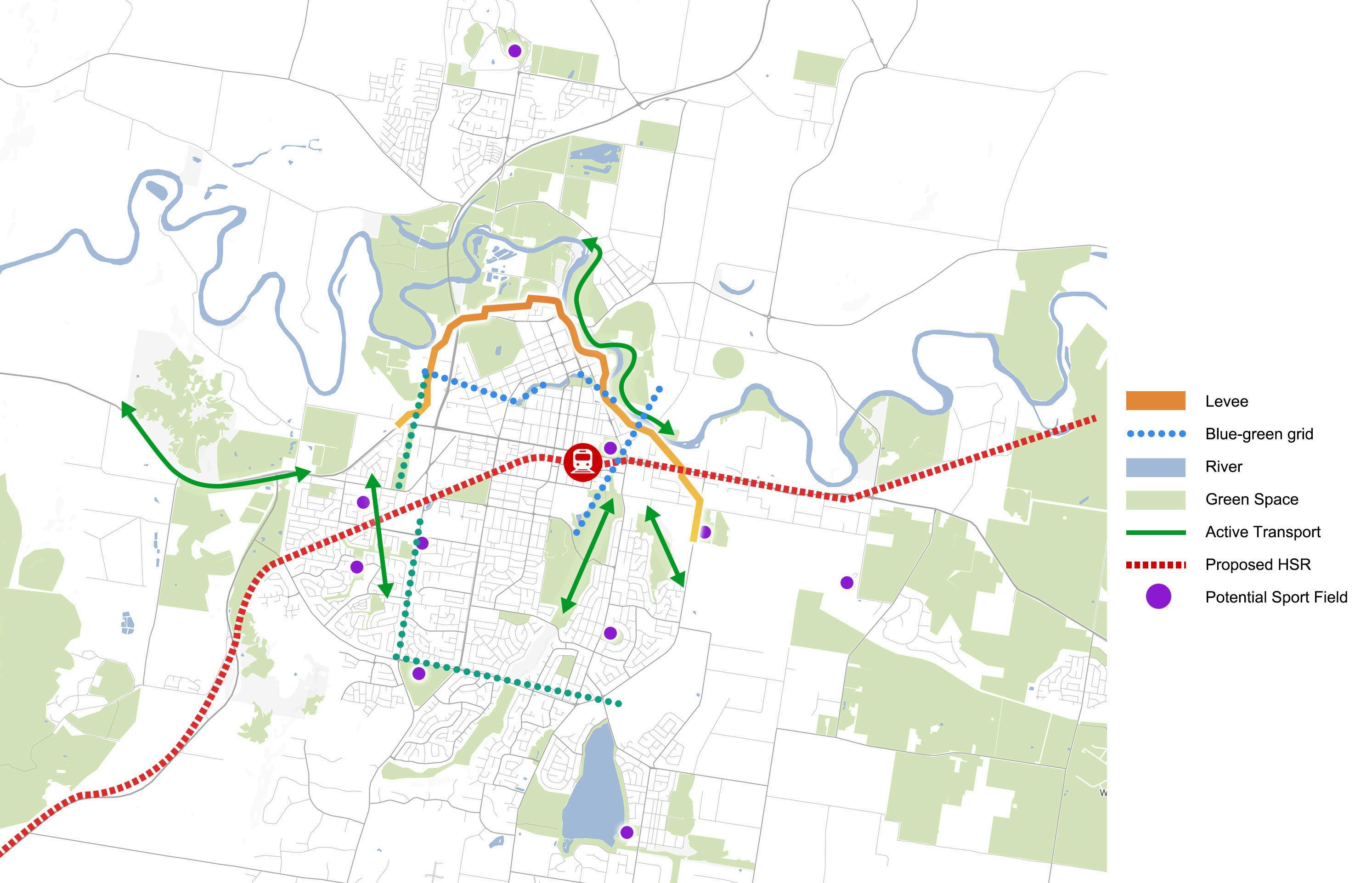
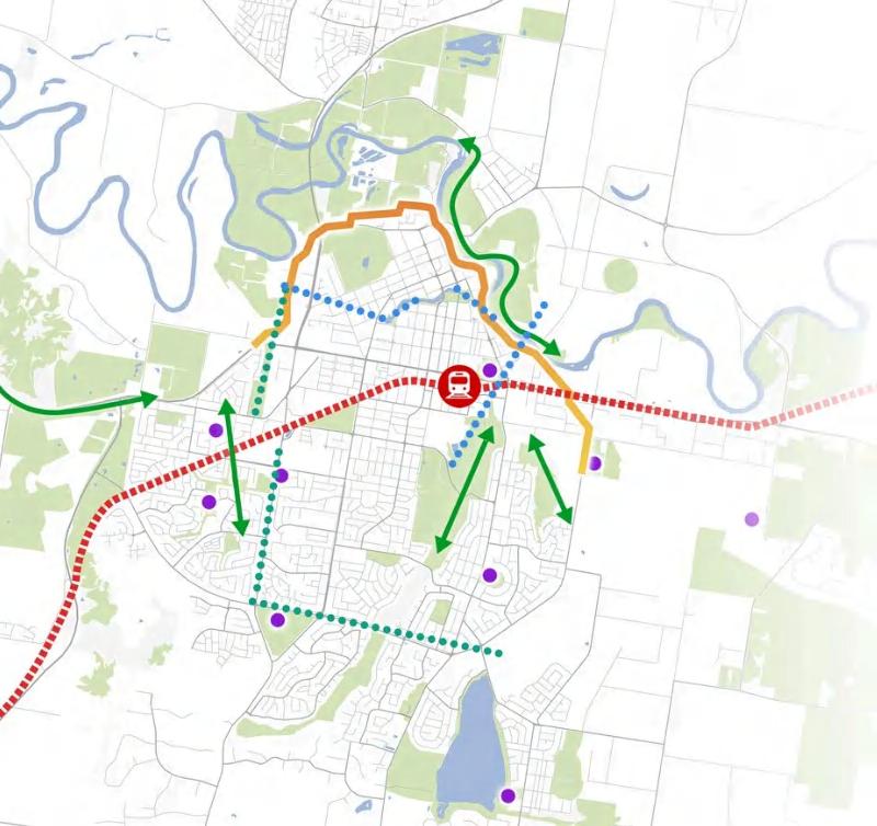
MakeWaggaWaggabecomeahealthy,resilient,well-connected destination,anchoredbypotentialgreenspaceandwell-established
sportsfacilities
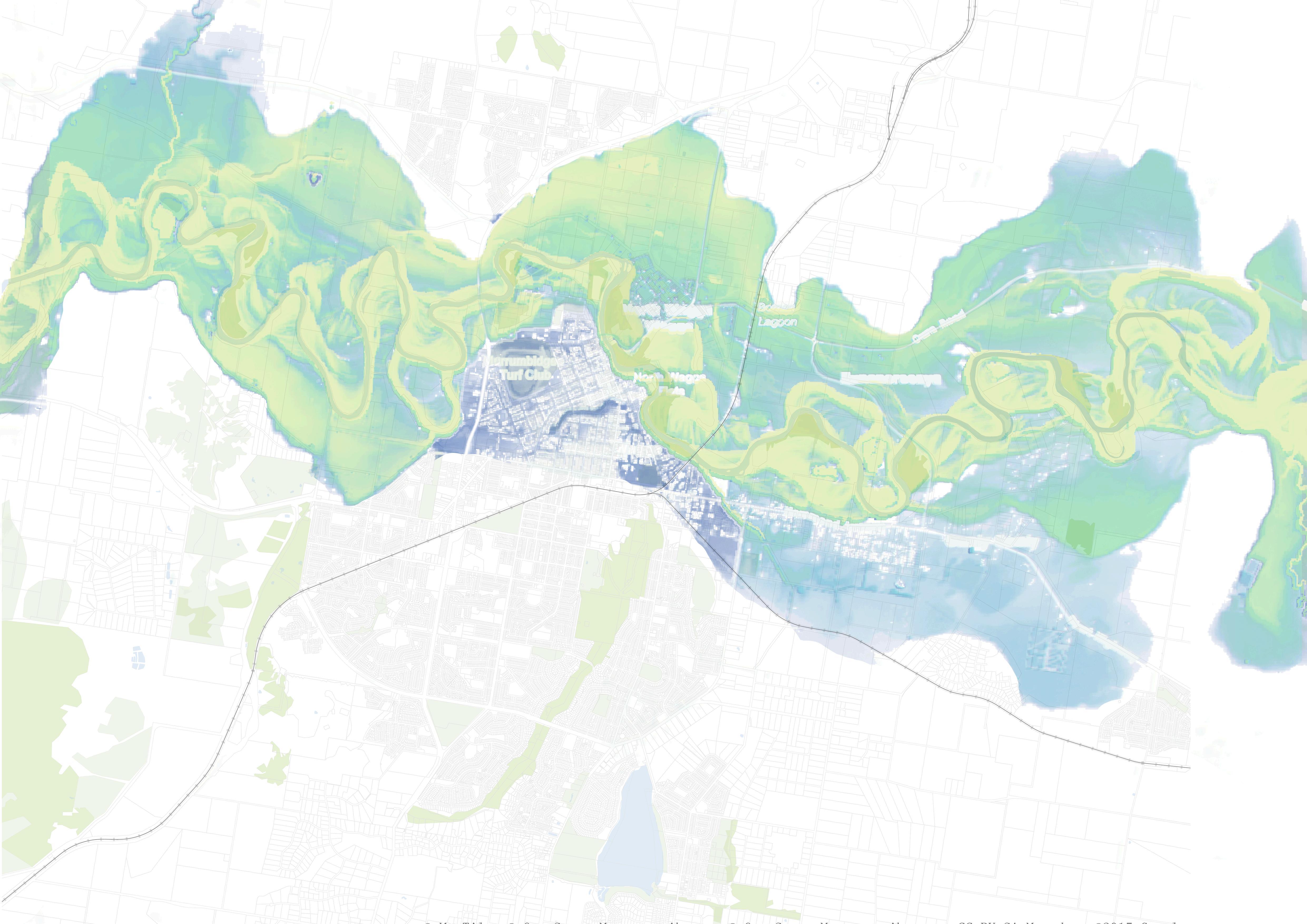
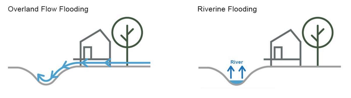
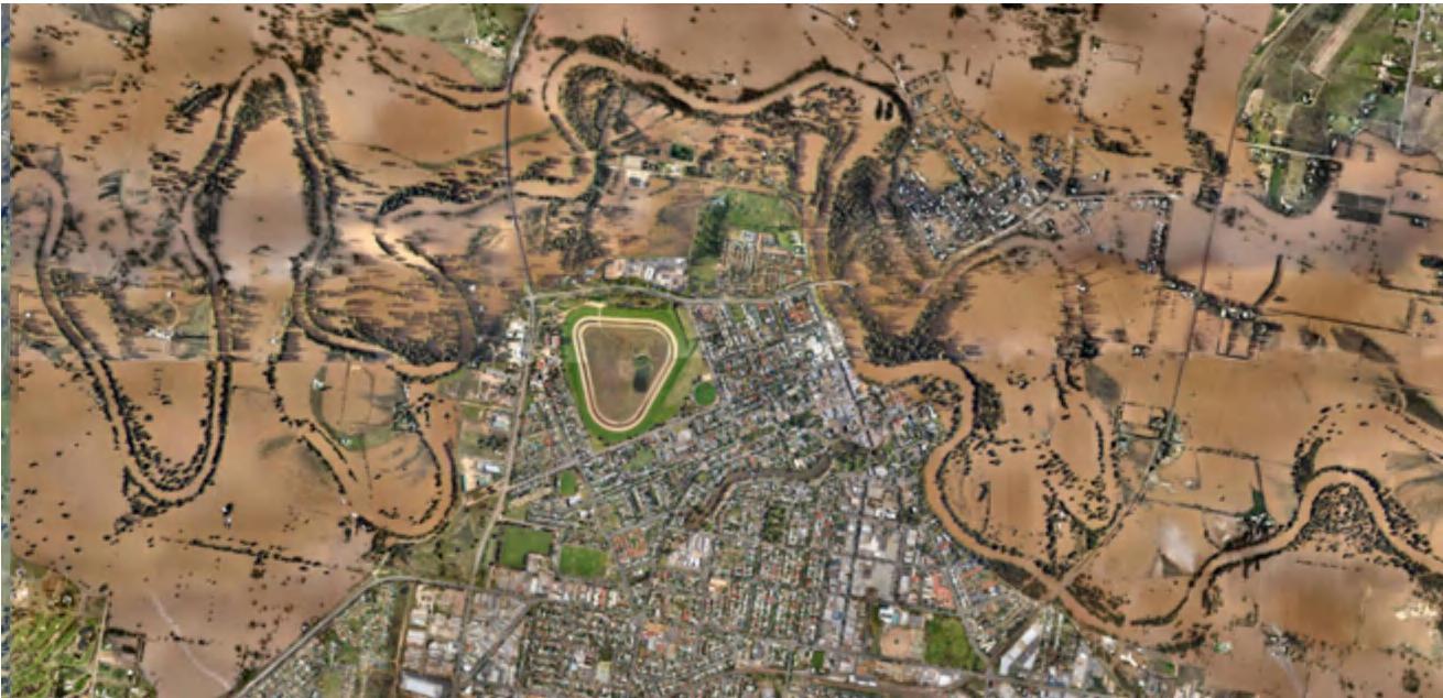
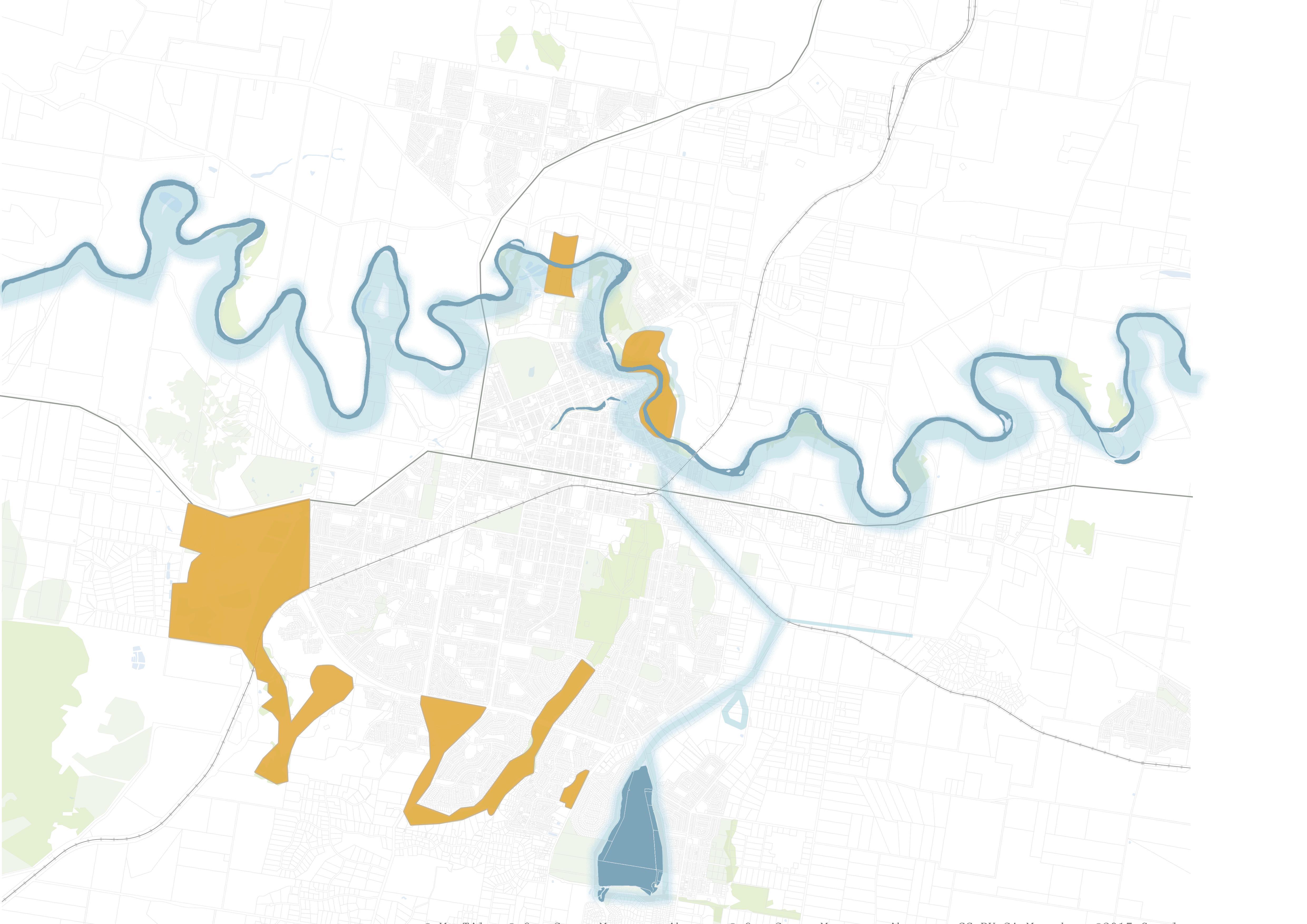
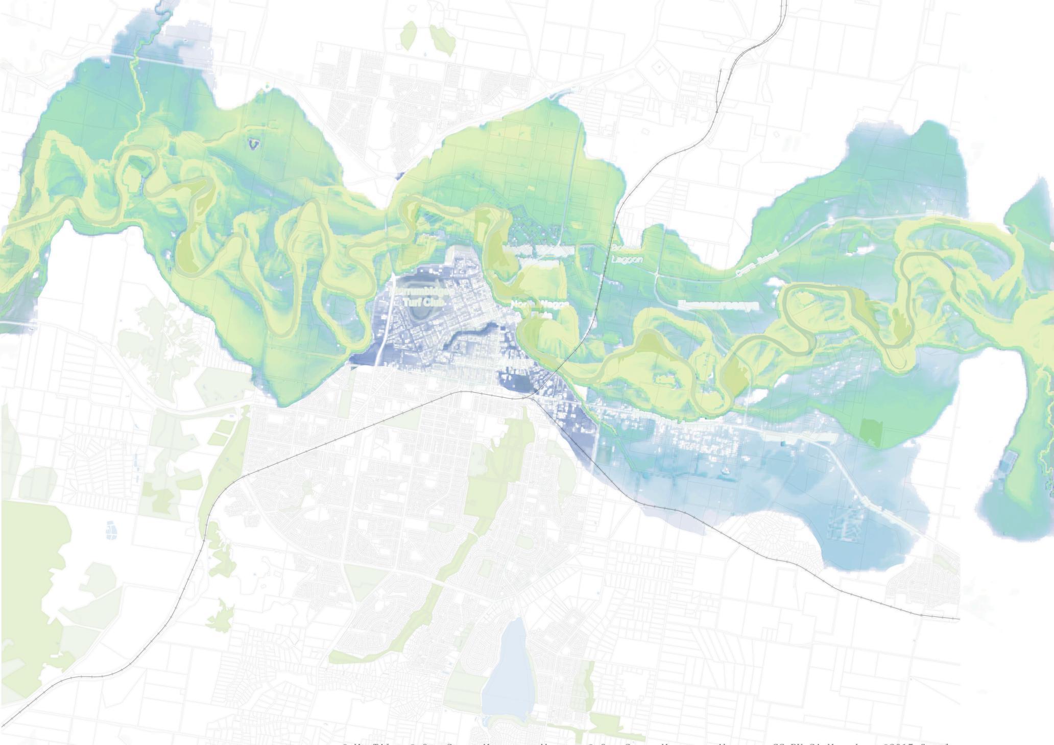
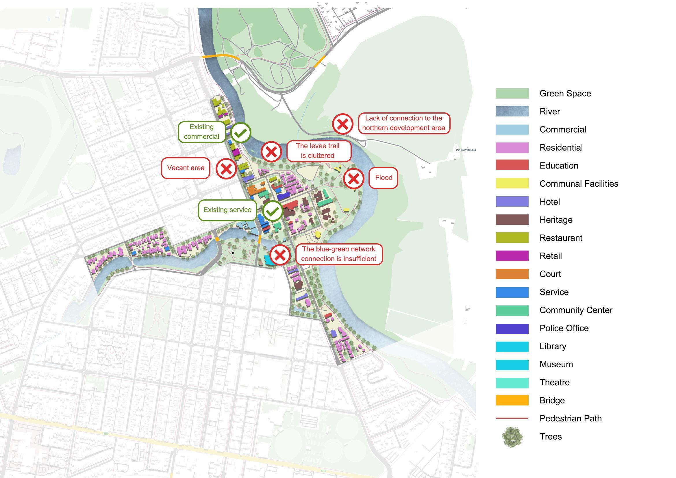
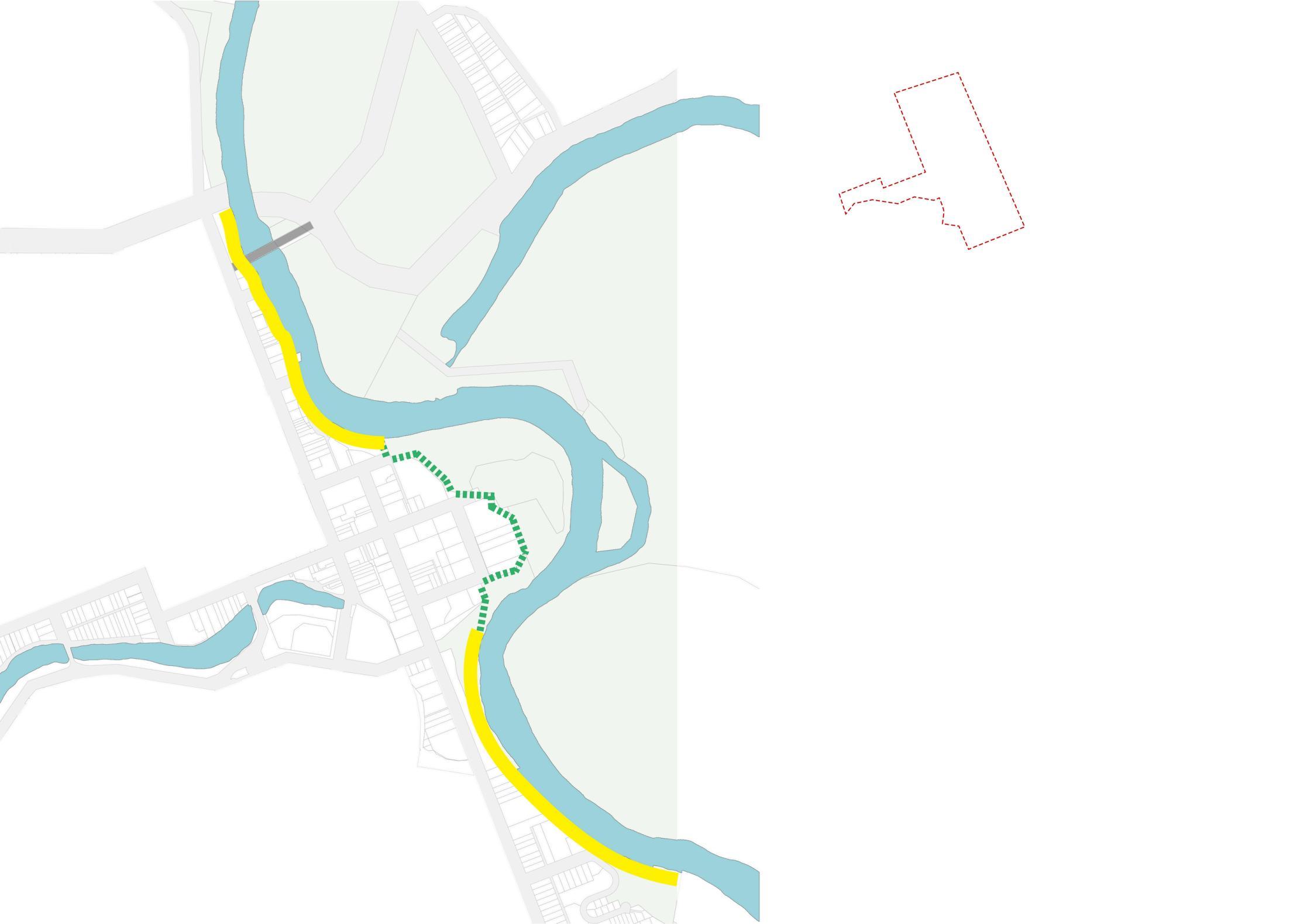
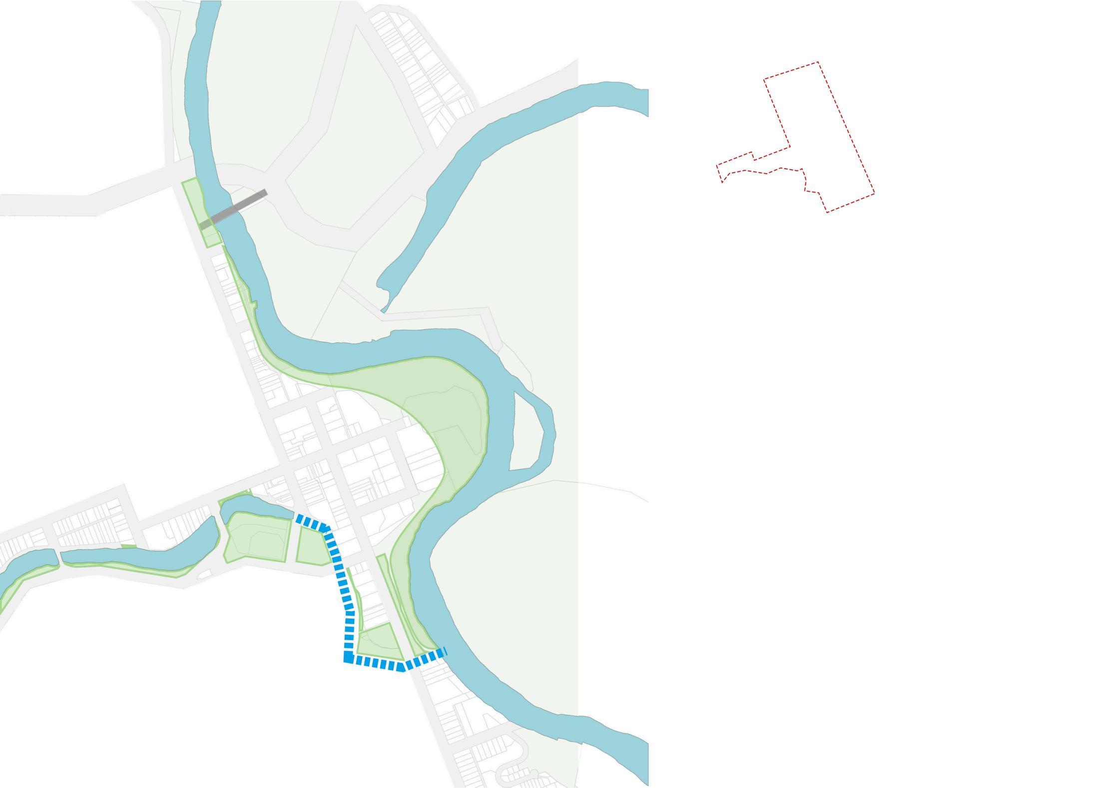
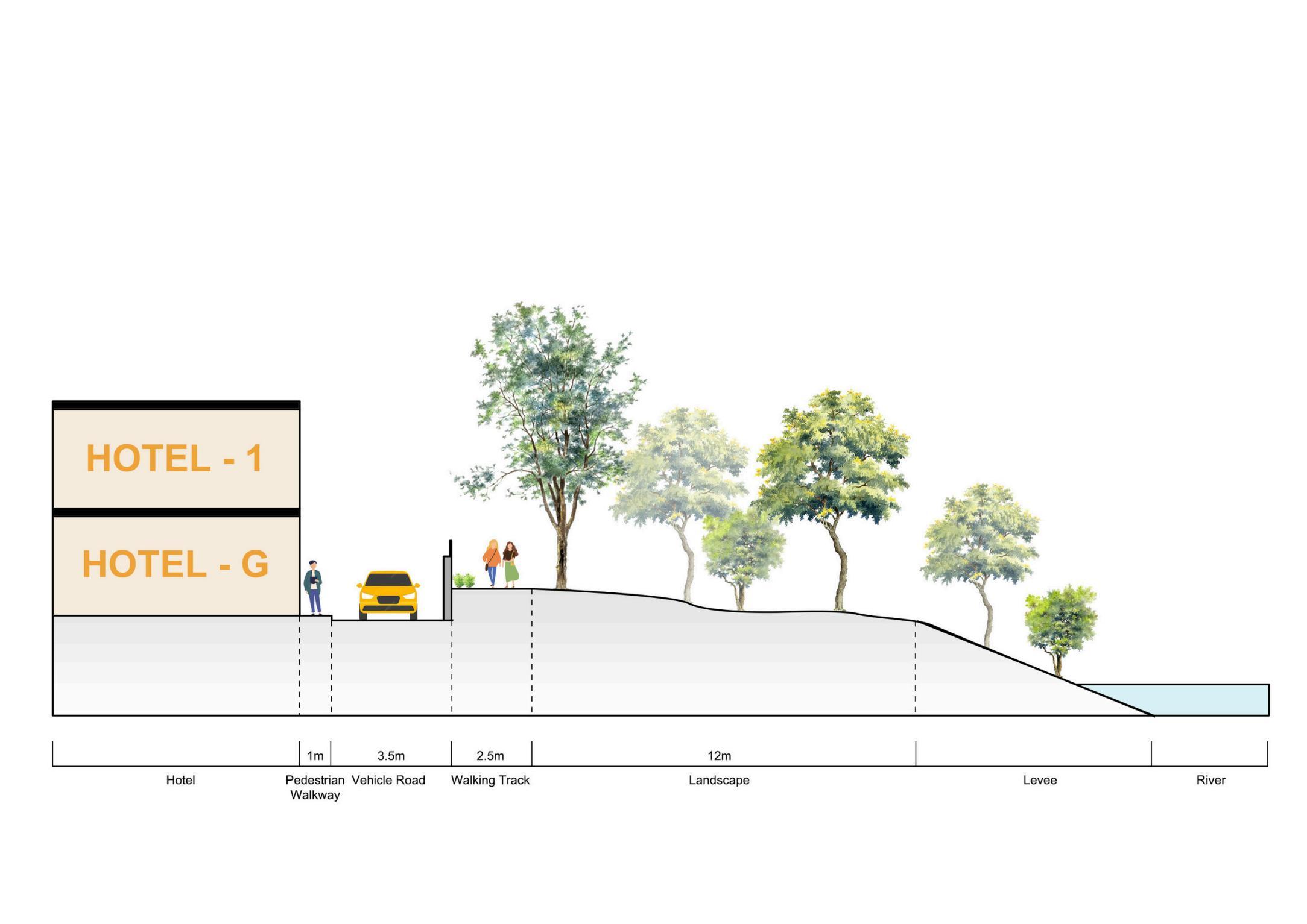
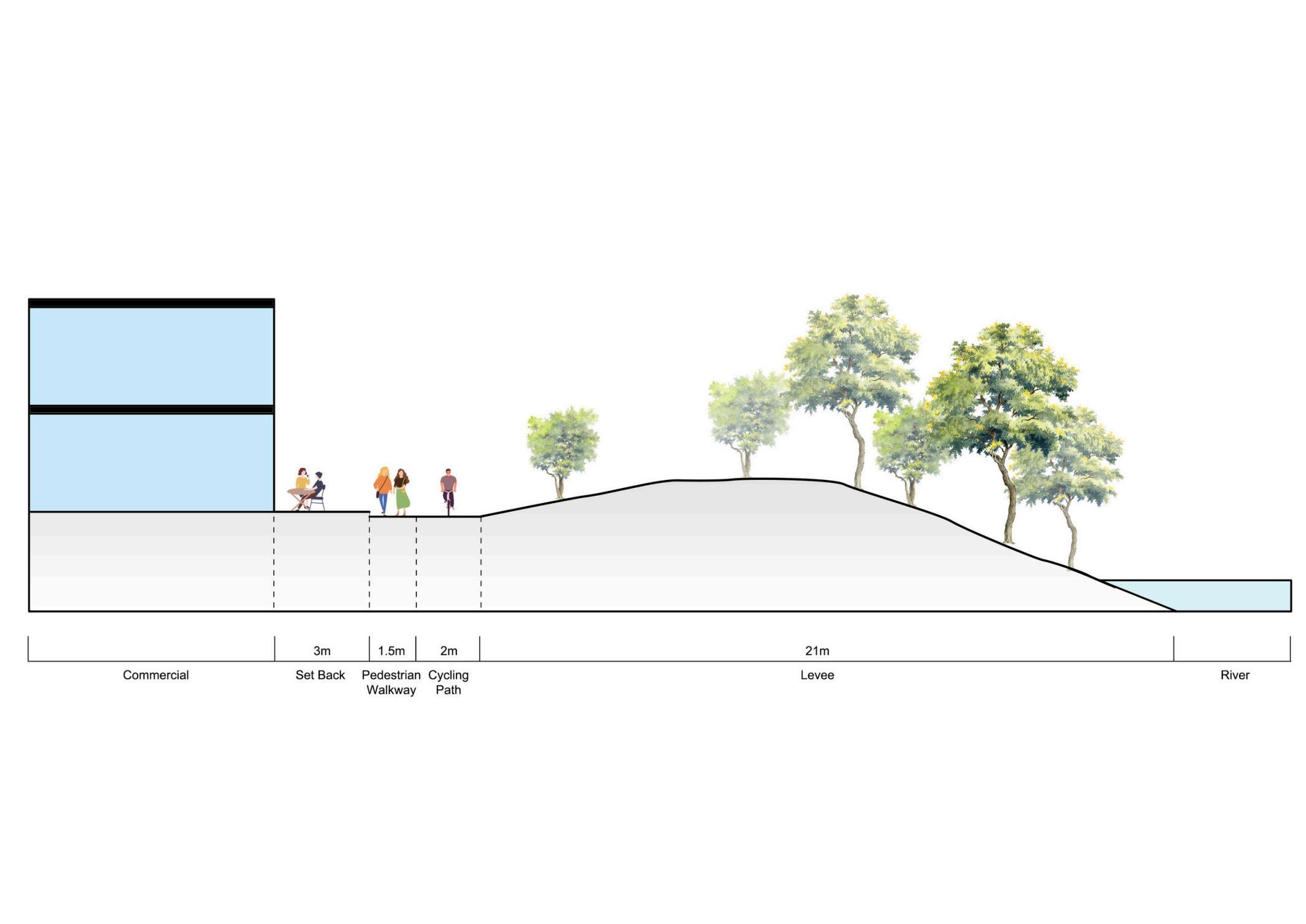
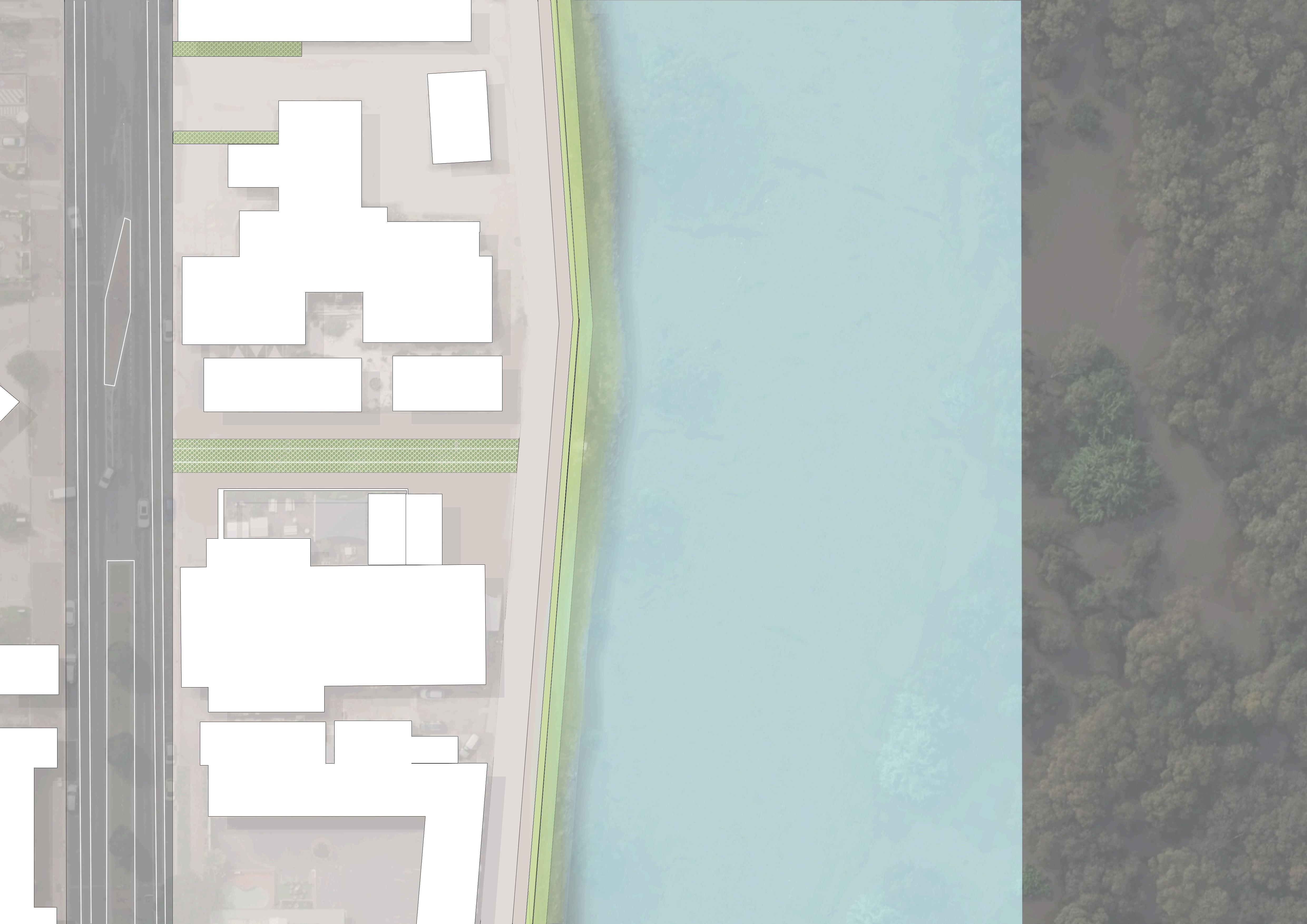
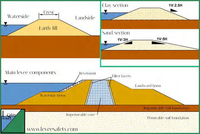
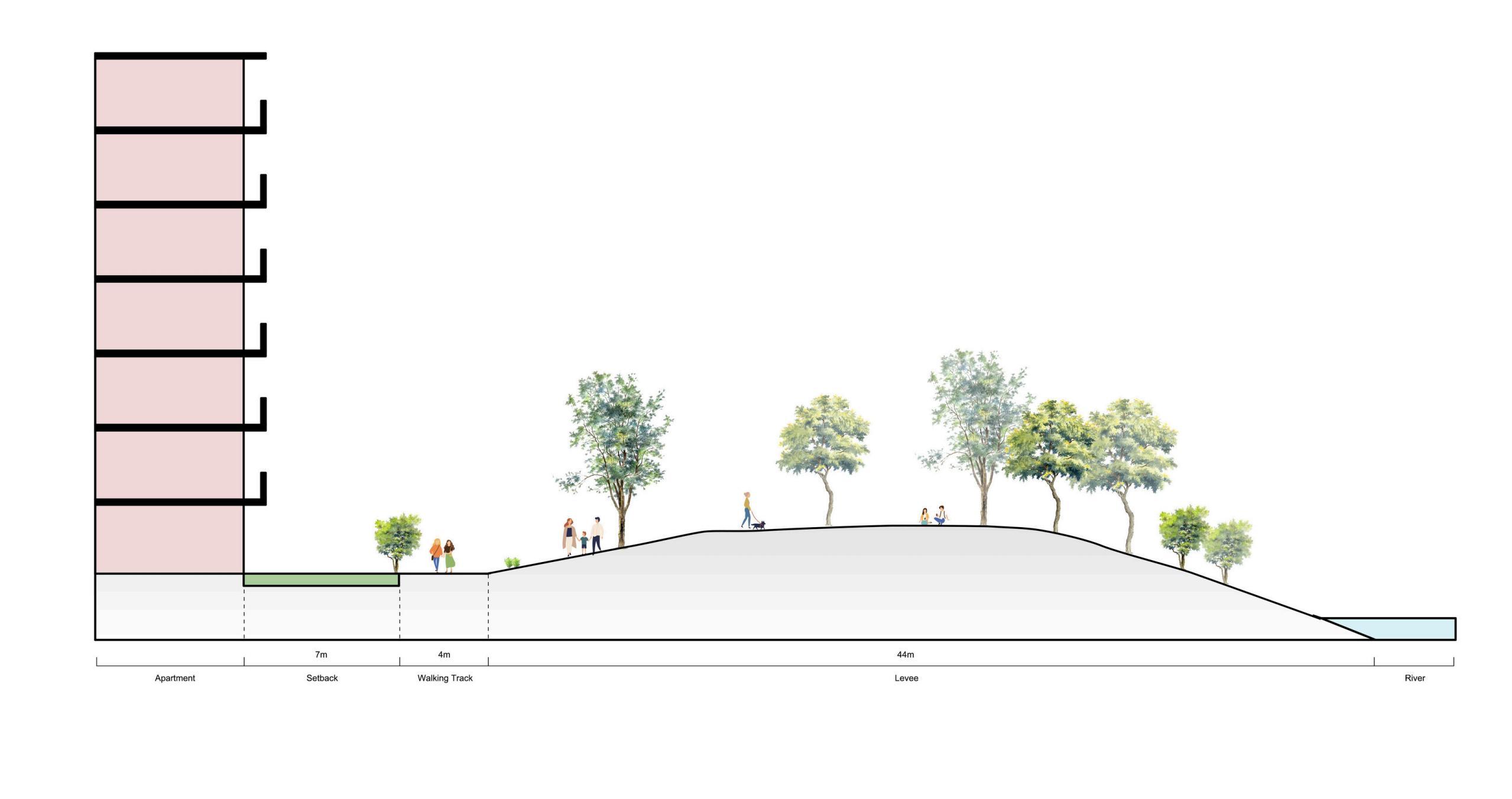
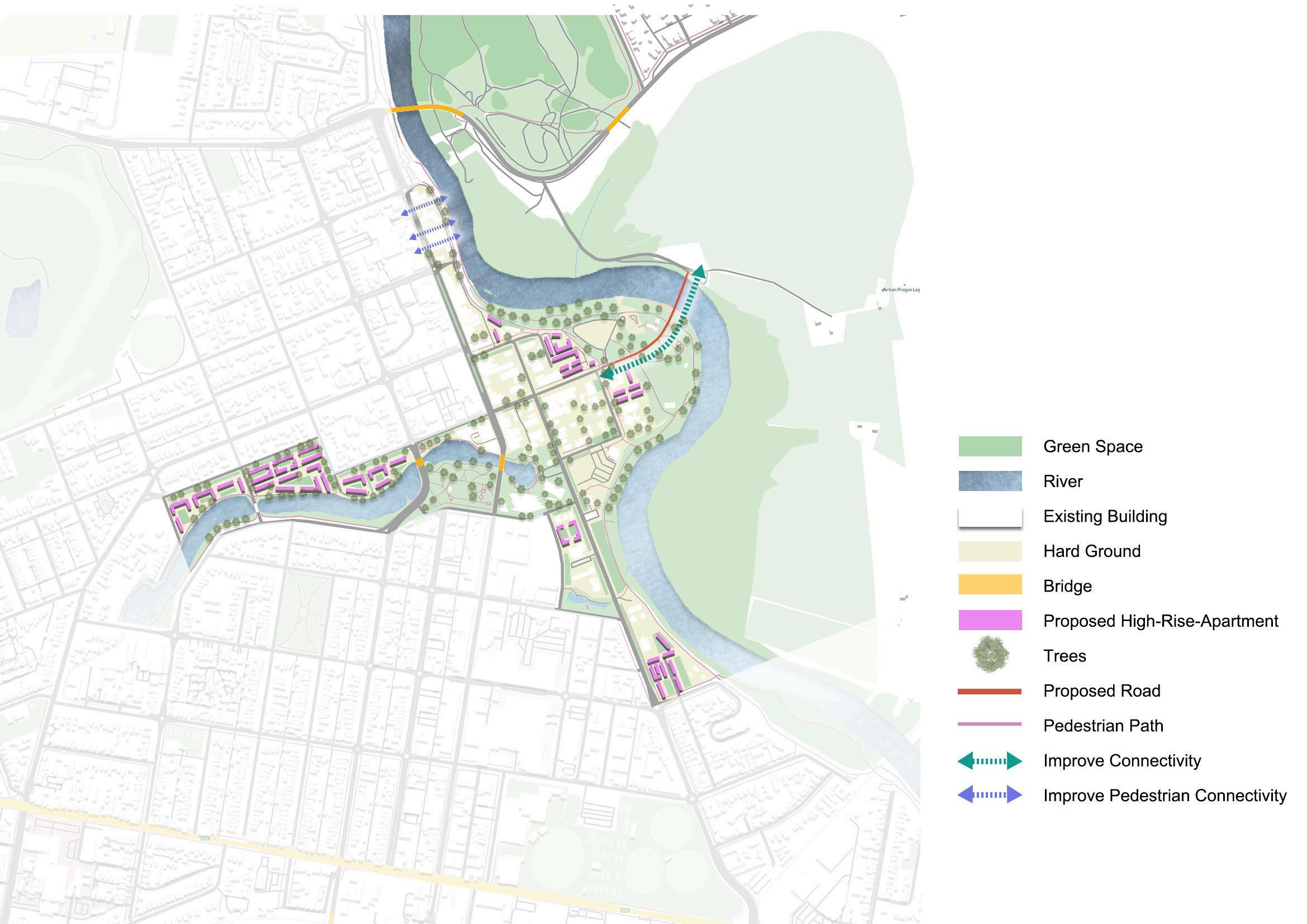
Constructing levees to protect the downtown area from flood damage
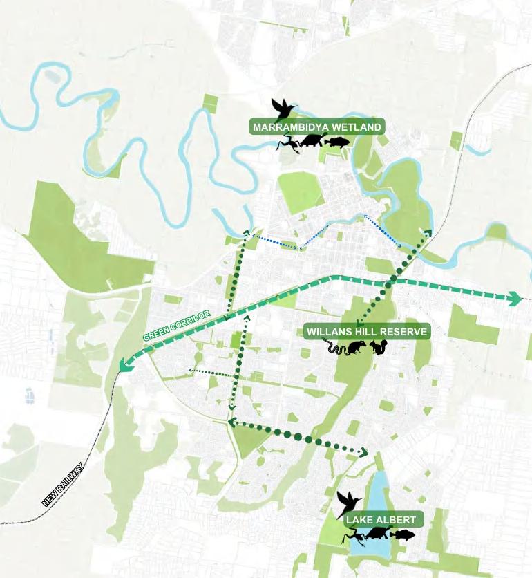
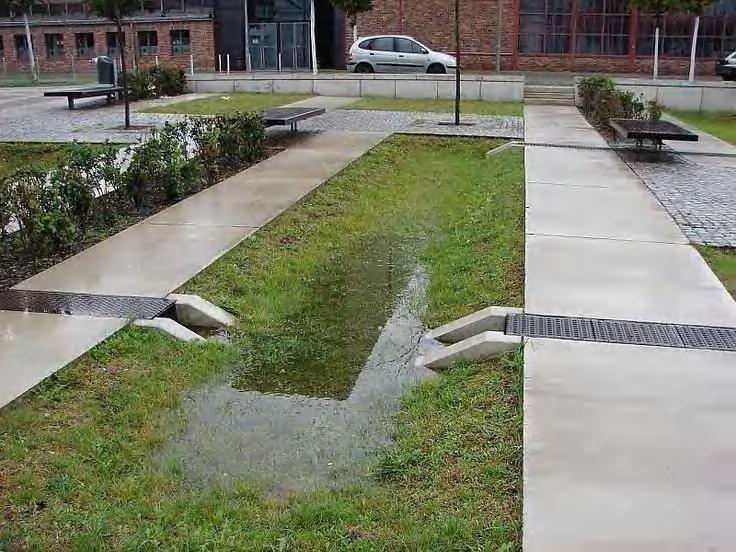
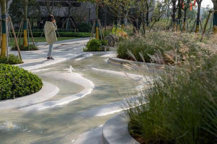
Reconnecting fragmented blue-green networks through green fingers and sewage systems
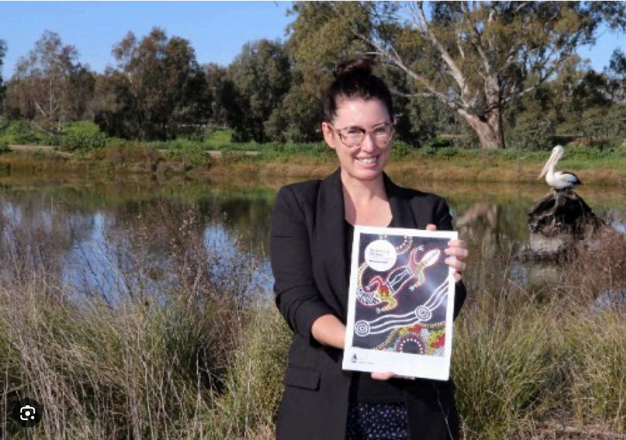
Establishing a connection with the country involves understanding and respecting the land and its cultural significance, especially to Indigenous communities.
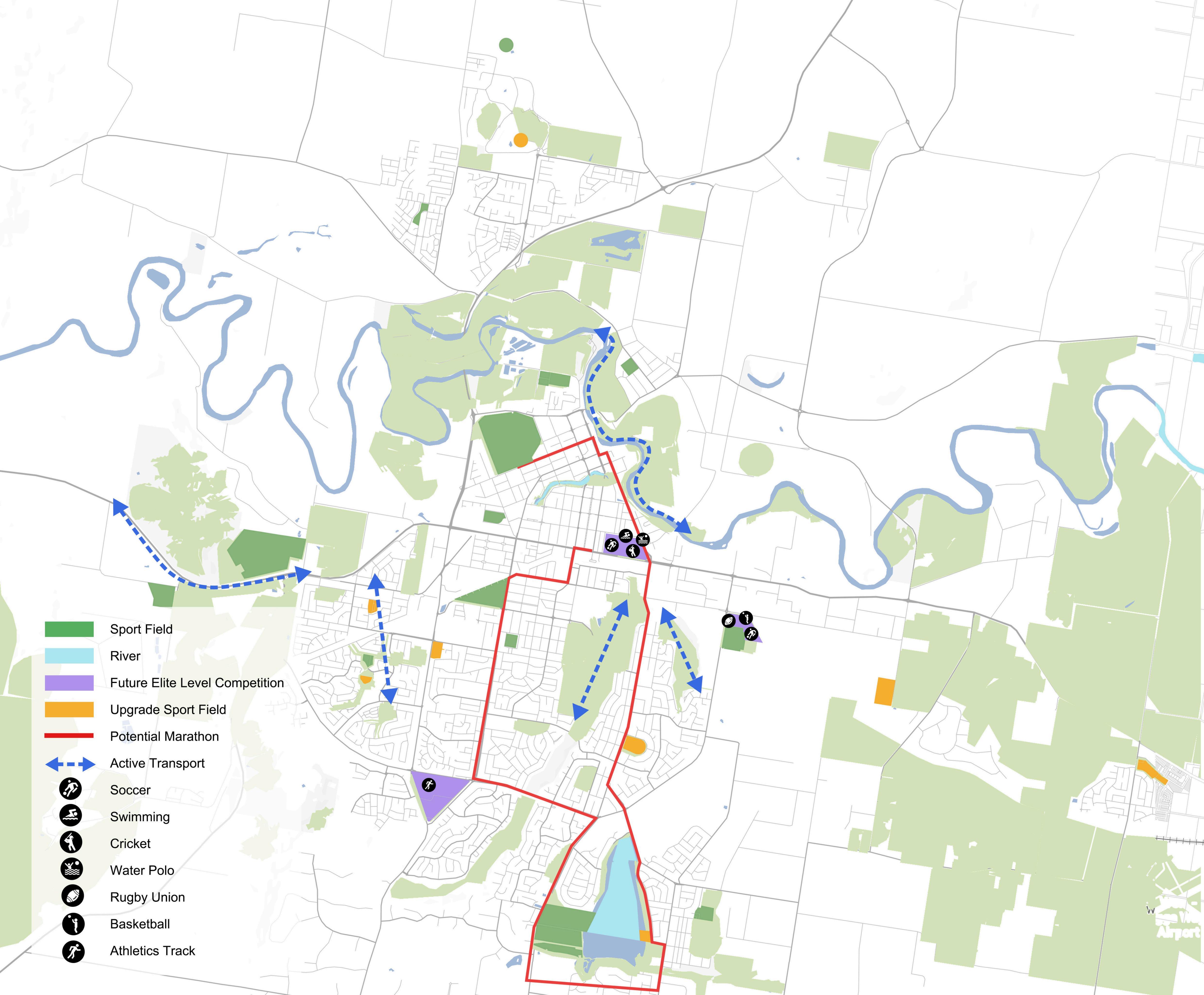
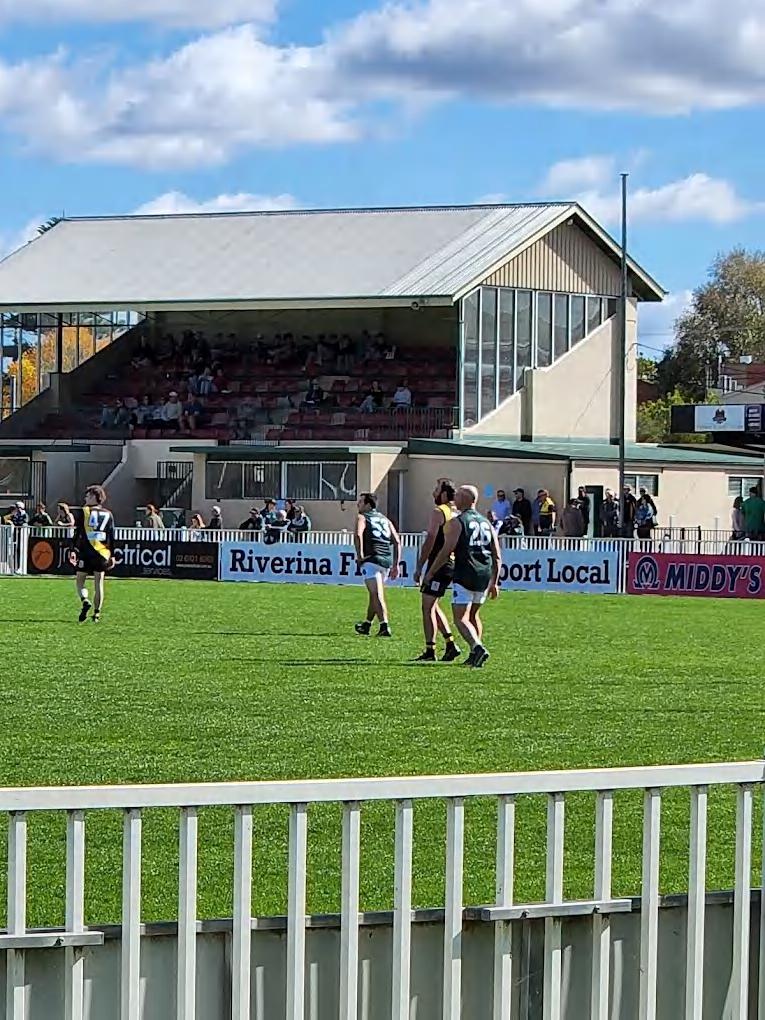
Continuing to promote the sports character of the city by upgrading sports-related industries and delivering sporting events
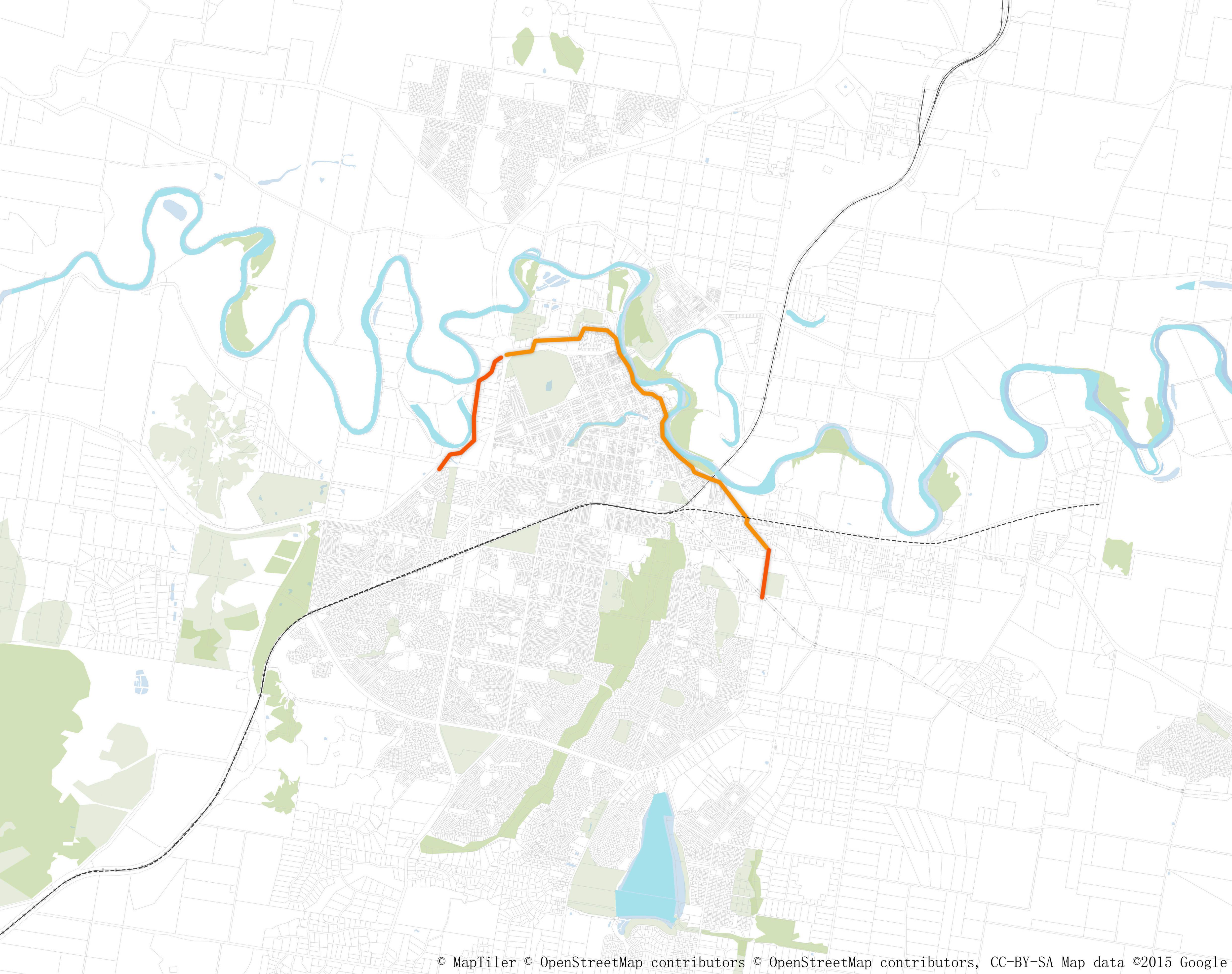
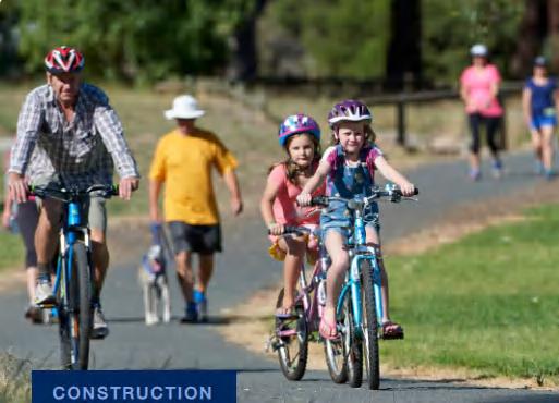
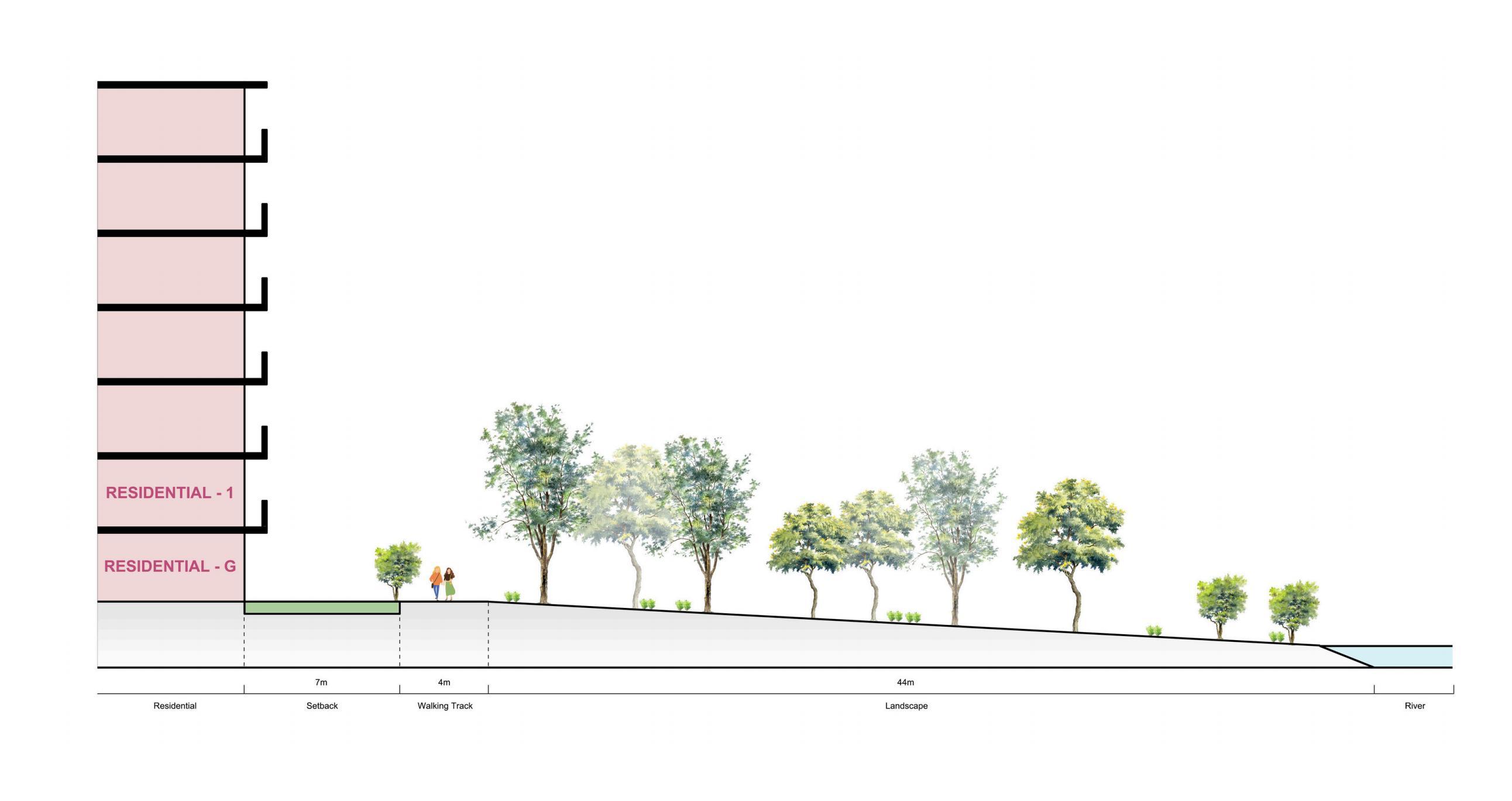
Promoting active transport by creating a pleasant environment for walking and cycling
Becoming a net zero city by increaing the use of public transport
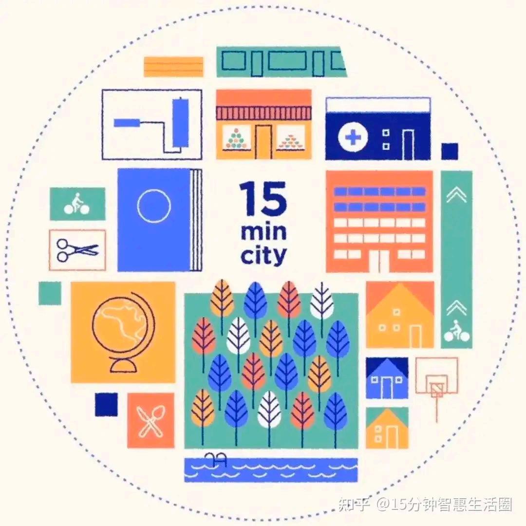
Creating a 15-minute CBD living area to drive the city's economic and cultural development
Activing community activities through the improvement of public spaces
Increasing diverse housing to accommodate increased population growth
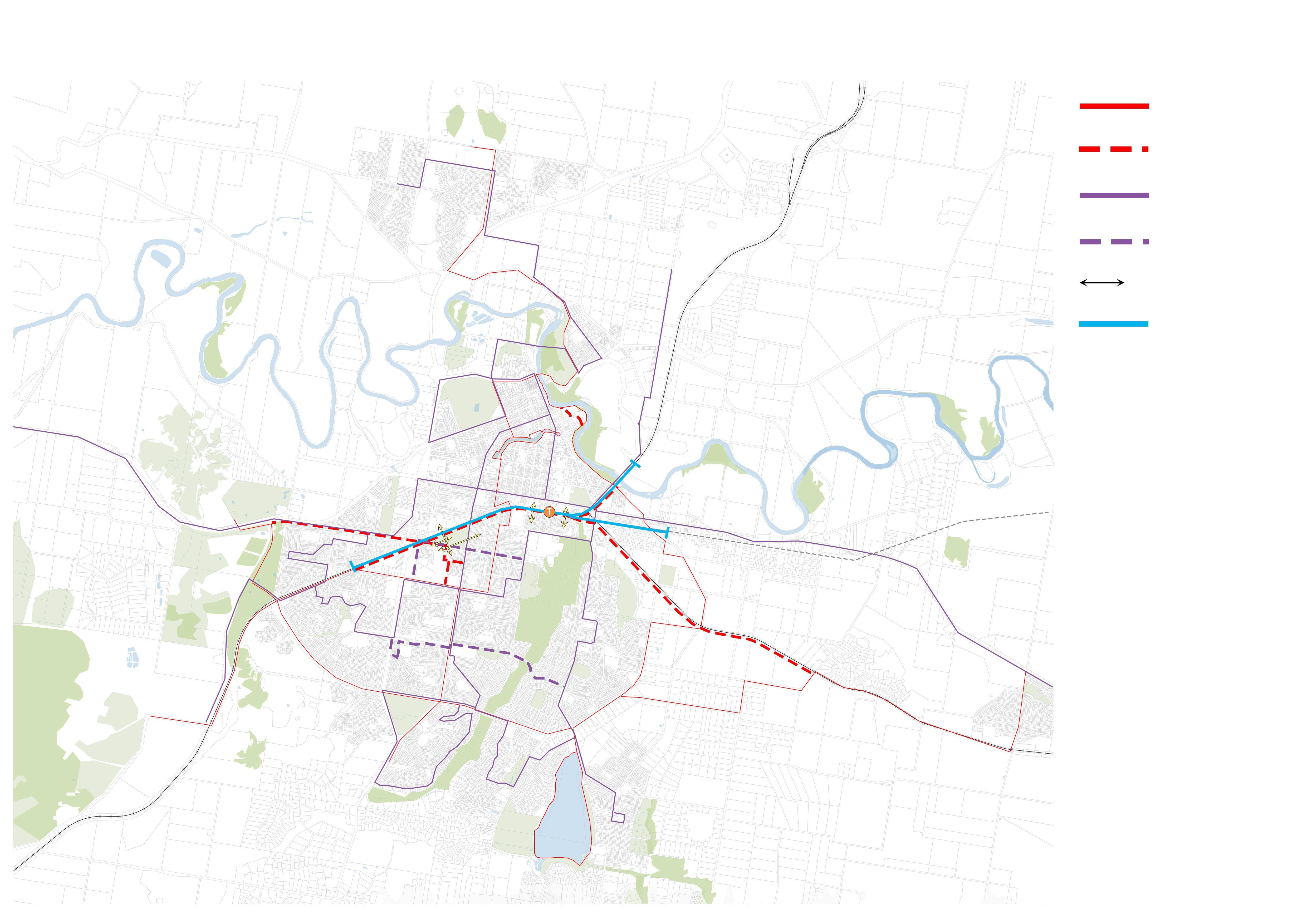
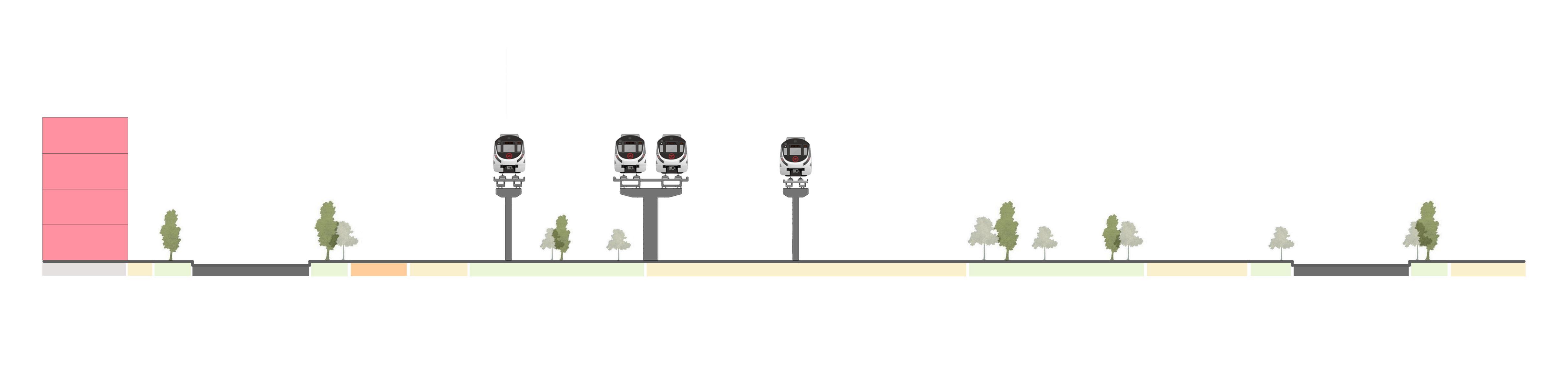
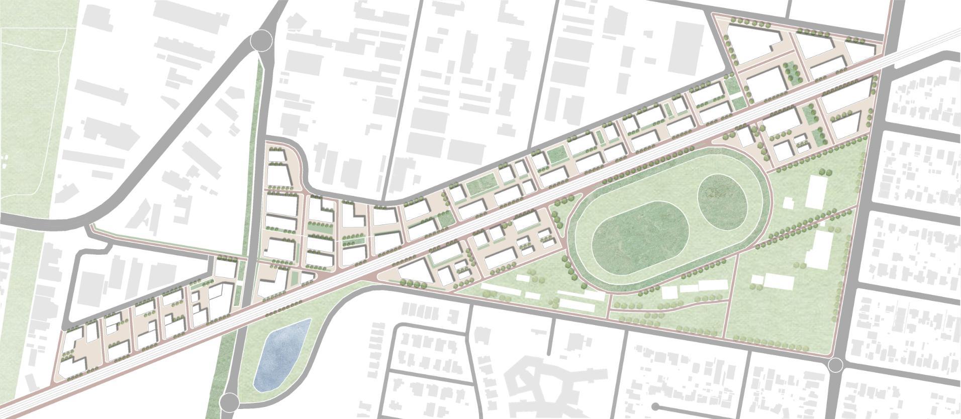
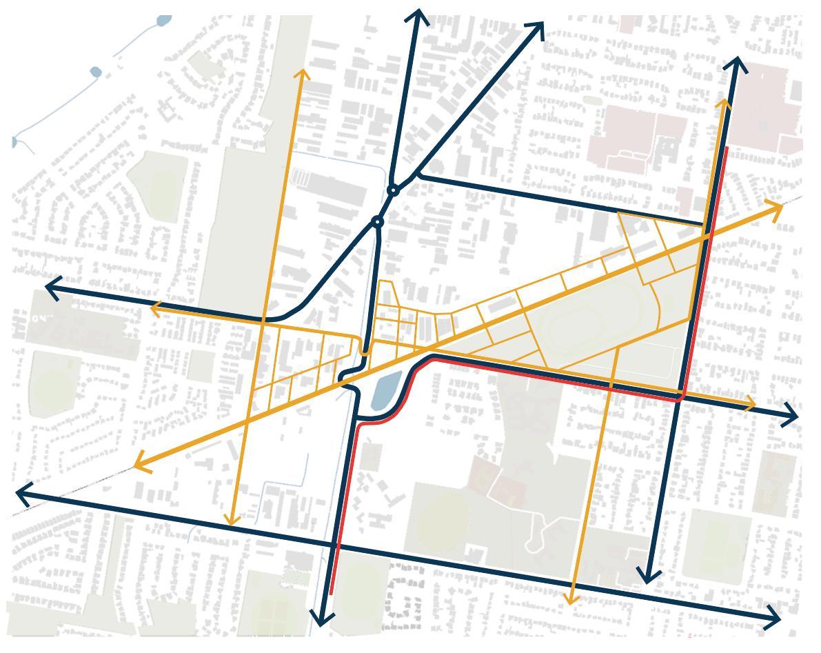
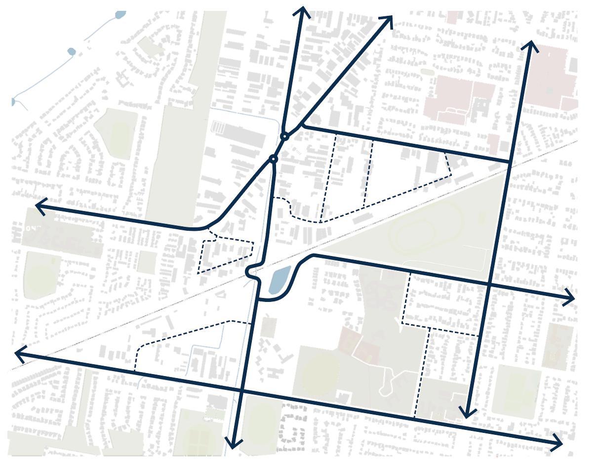
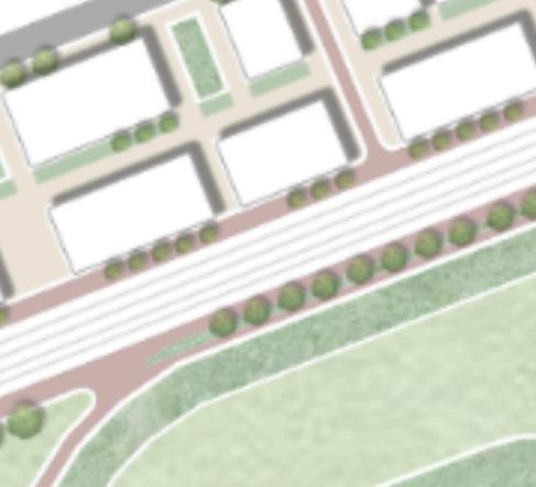
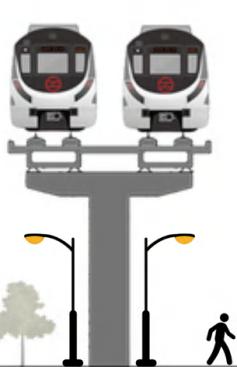
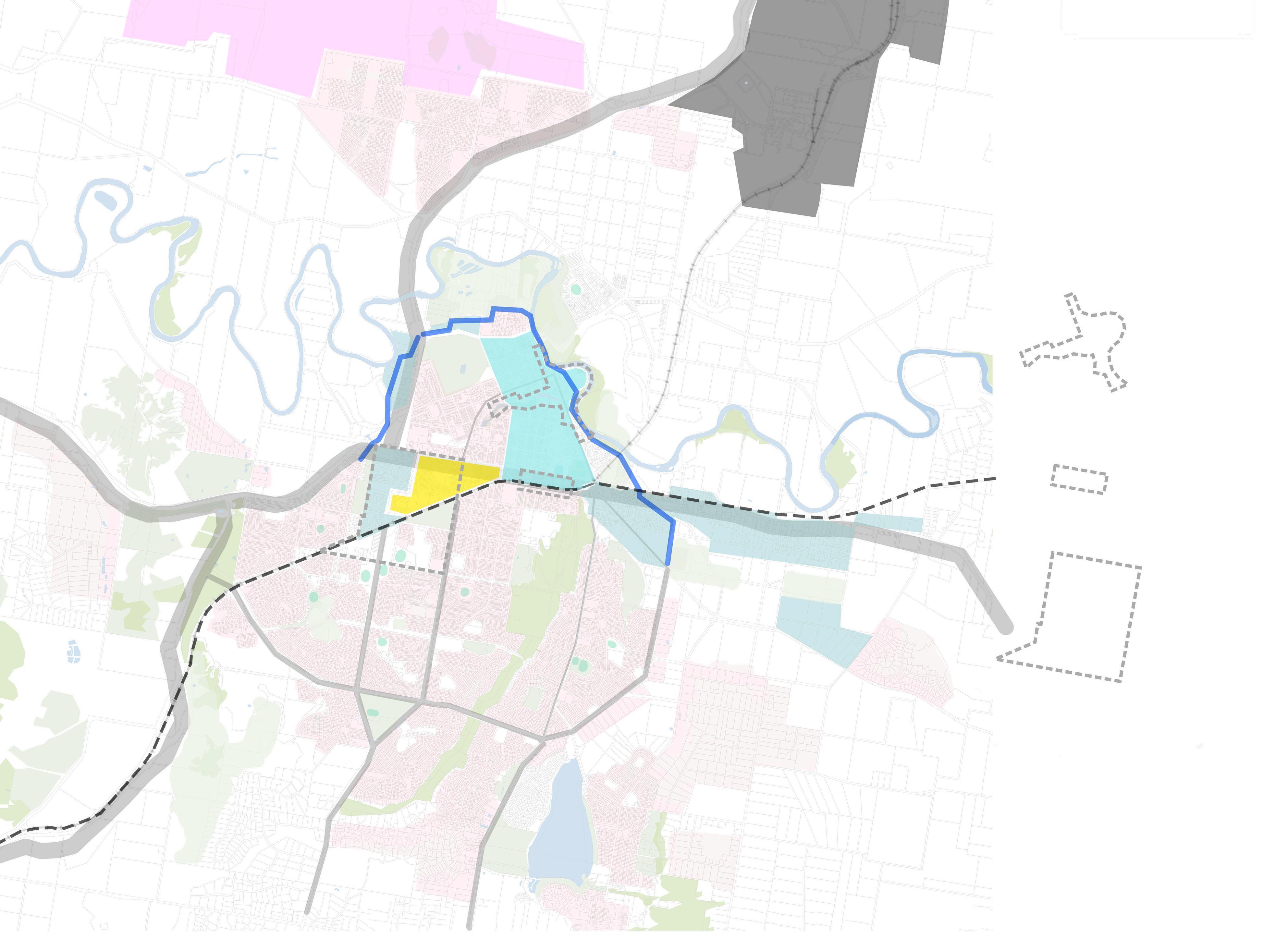
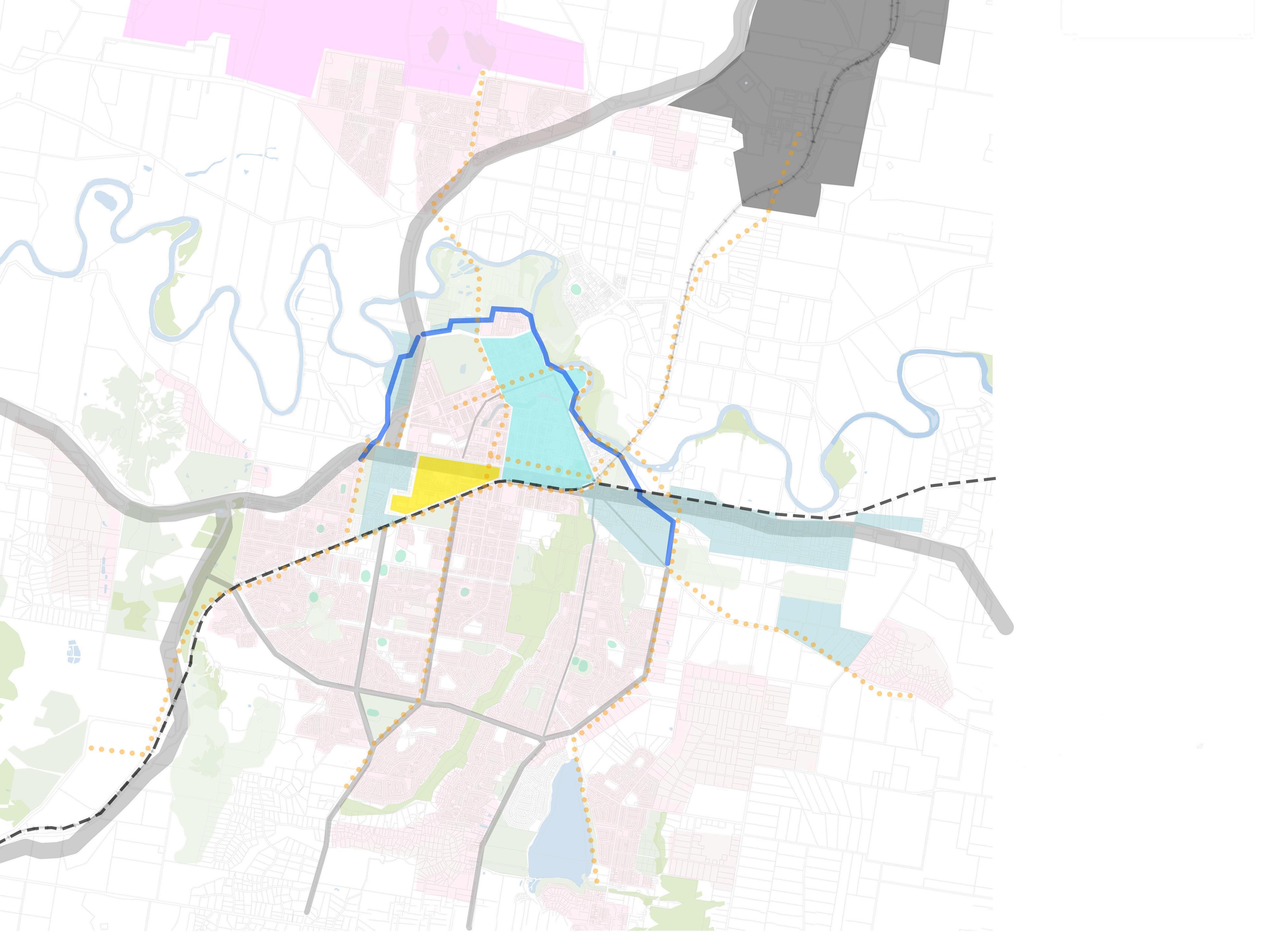
Elevated tracks to increase connectivity between the north and south areas of the city.
Adding new footpaths, cycle lanes, bus routes and ensuring diversity of outbound routes.

Buildingleveesisacrucialmeasureto shieldthedowntownareafromthe devastatingimpactsofflooding.These structuresactasbarriers,preventing floodwatersfrominundatingurbancenters andcausingextensivedamageto infrastructure,properties,andthelocal economy.

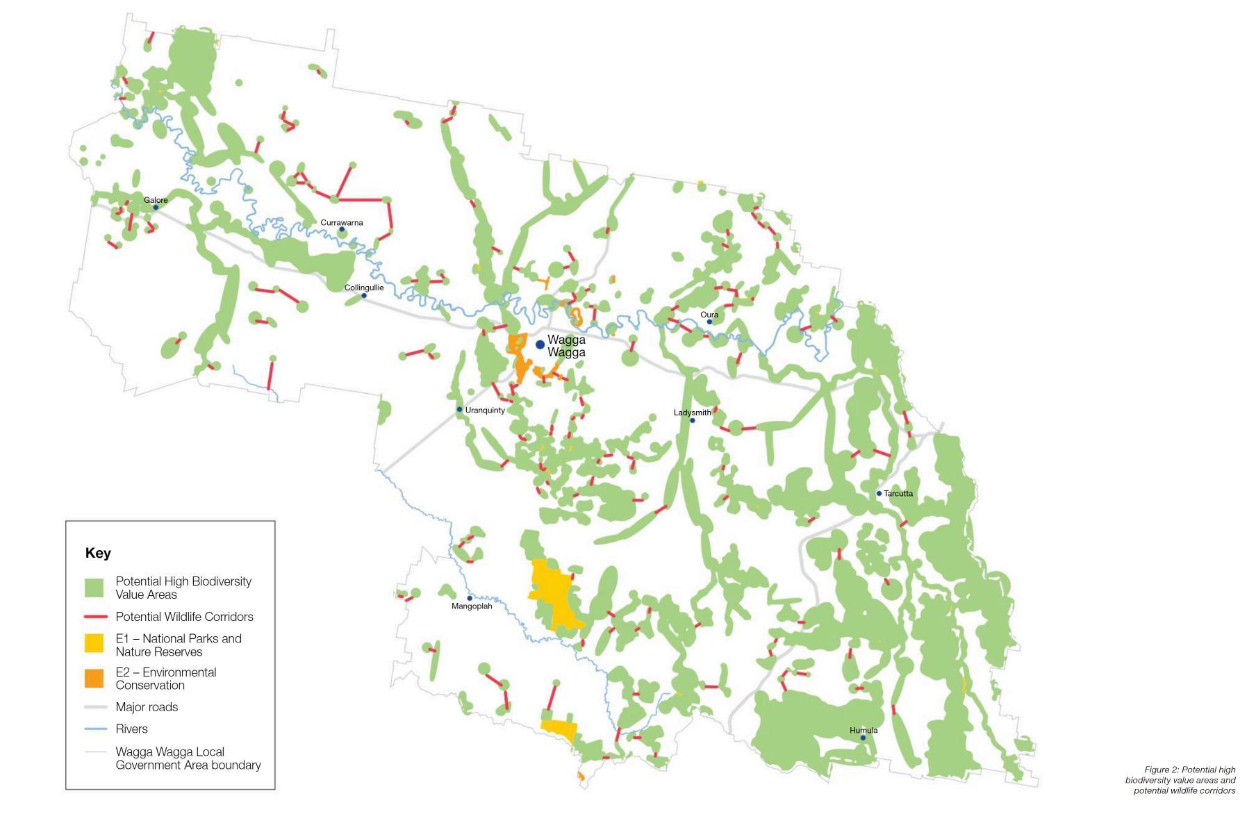
2.ReconnectingFragmentedBlue-GreenNetworks
It'sessentialtoreconnectdisruptedblue-green networkstoensurethatnaturalhabitatsremainintact andbiodiversitythrives.Byintegratinggreenfingers (linearparksorgreenways)andmodernizingsewage systems,wecancreatecontinuousecological corridorsthatallowwildlifetomovefreelyand ecosystemstofunctionhealthily.
3.ConnectingwithCountry
Establishingaconnectionwiththecountryinvolves understandingandrespectingthelandanditscultural significance,especiallytoIndigenouscommunities. Thisapproachnotonlyfostersenvironmental stewardshipbutalsoincorporatestraditional ecologicalknowledgeintomodernpractices, enhancingtheoverallresilienceofbothnaturaland humansystems.

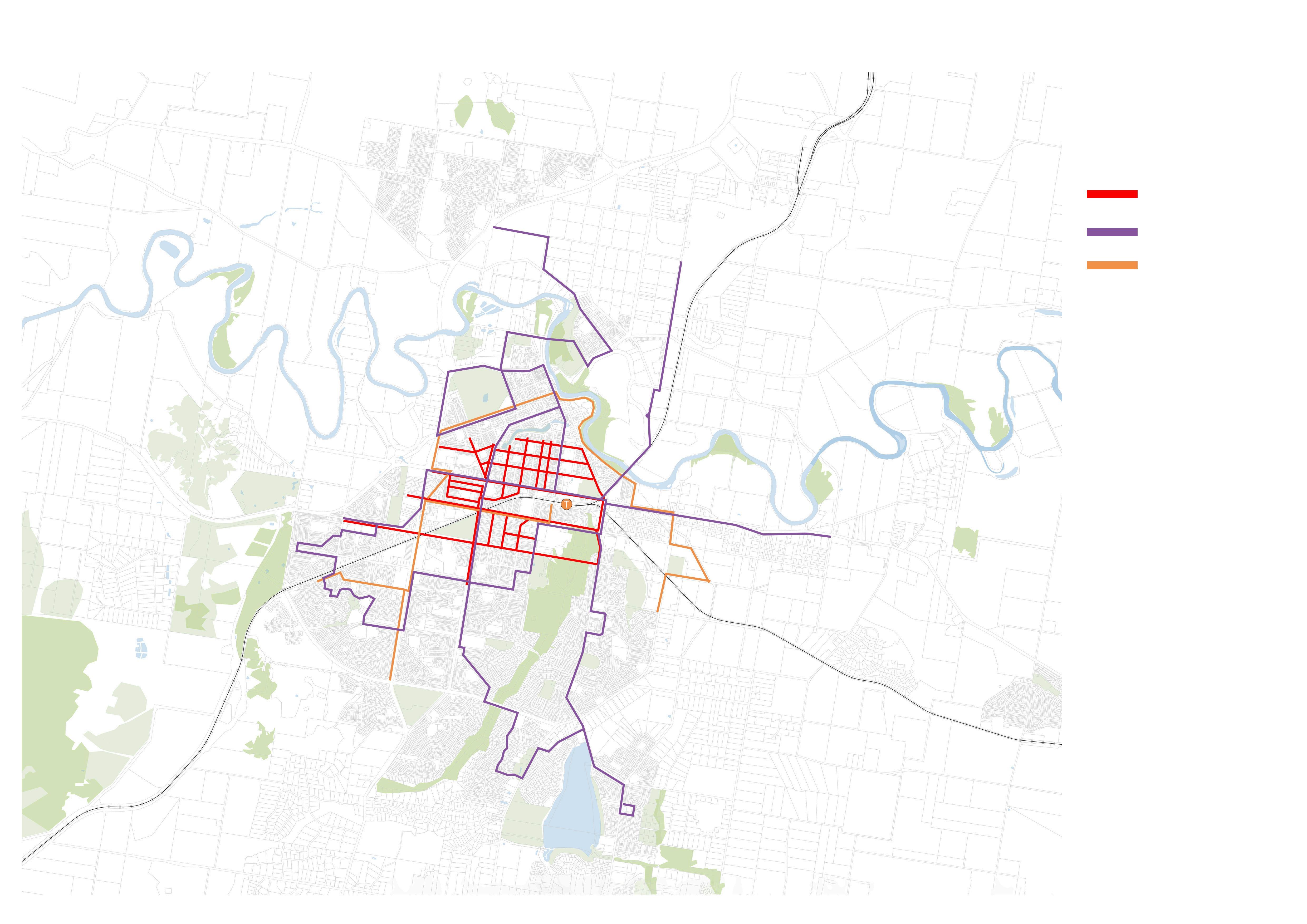
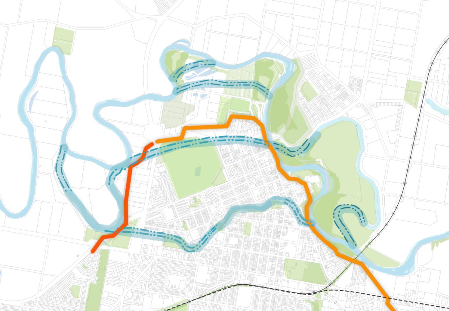
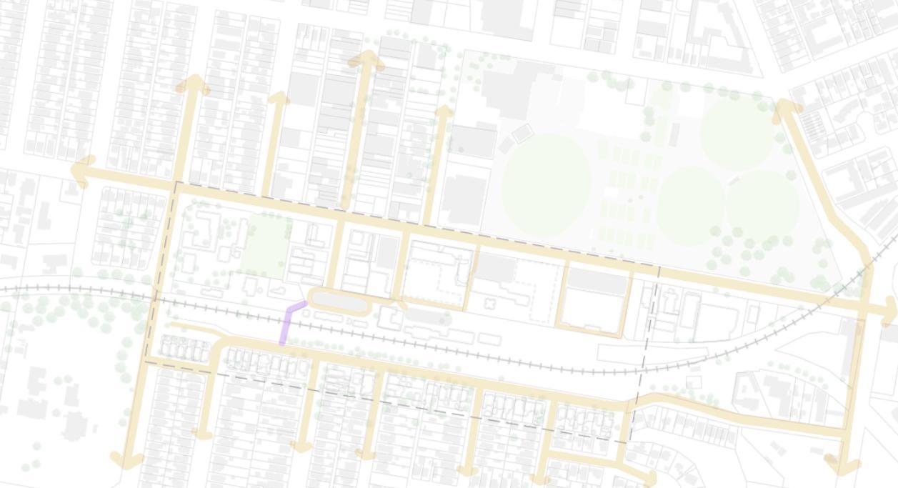
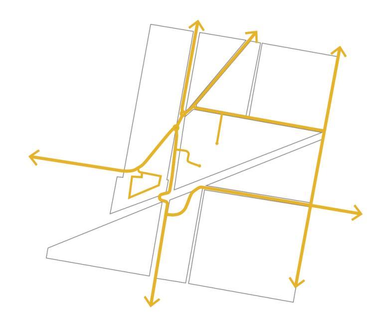
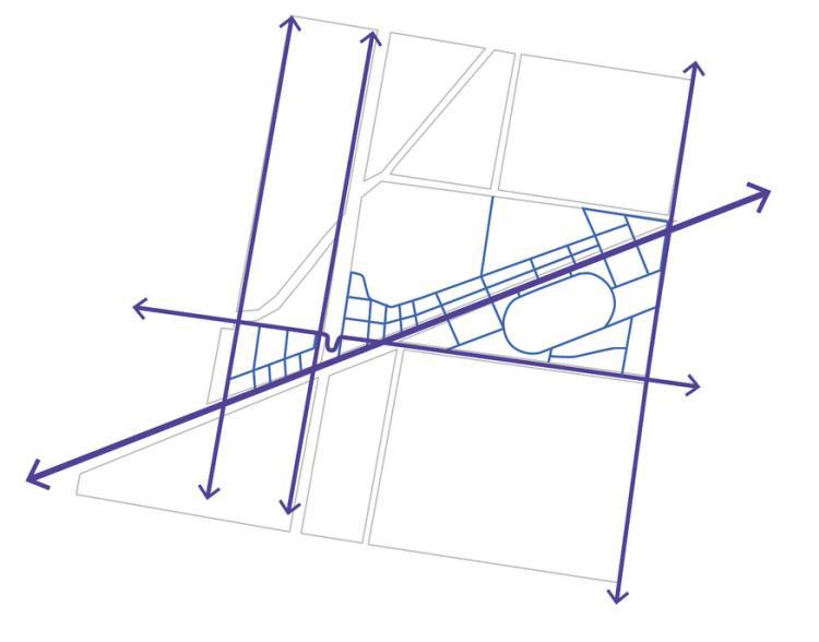
Existing cycle way
New cycle way
Existing bus way
New bus way
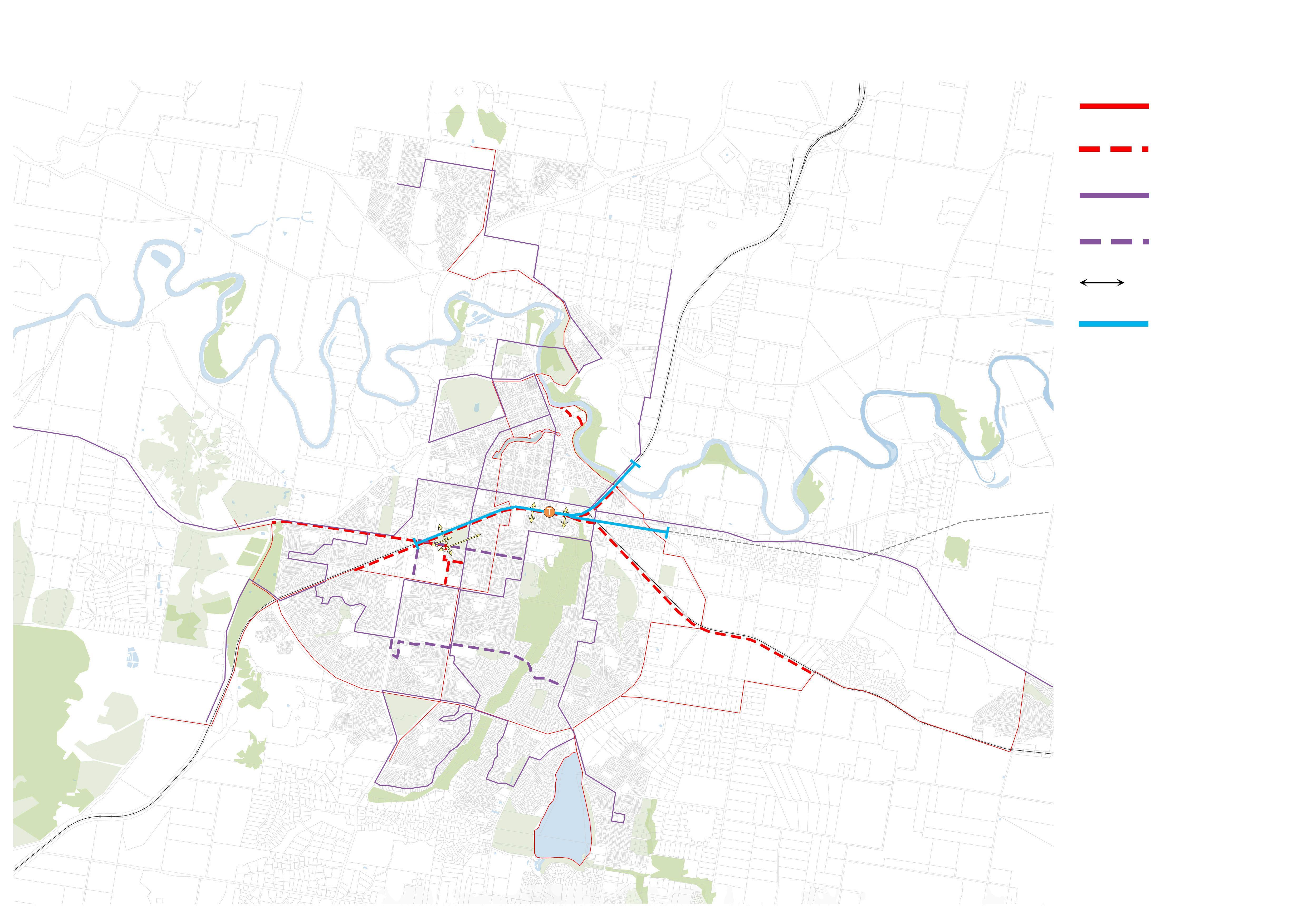
Pedestrain connection
Raise track area
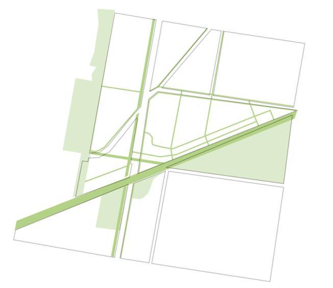
Waterways
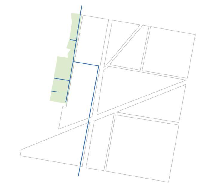
Environment areas
Residential areas
CBD
Enployment areas
University
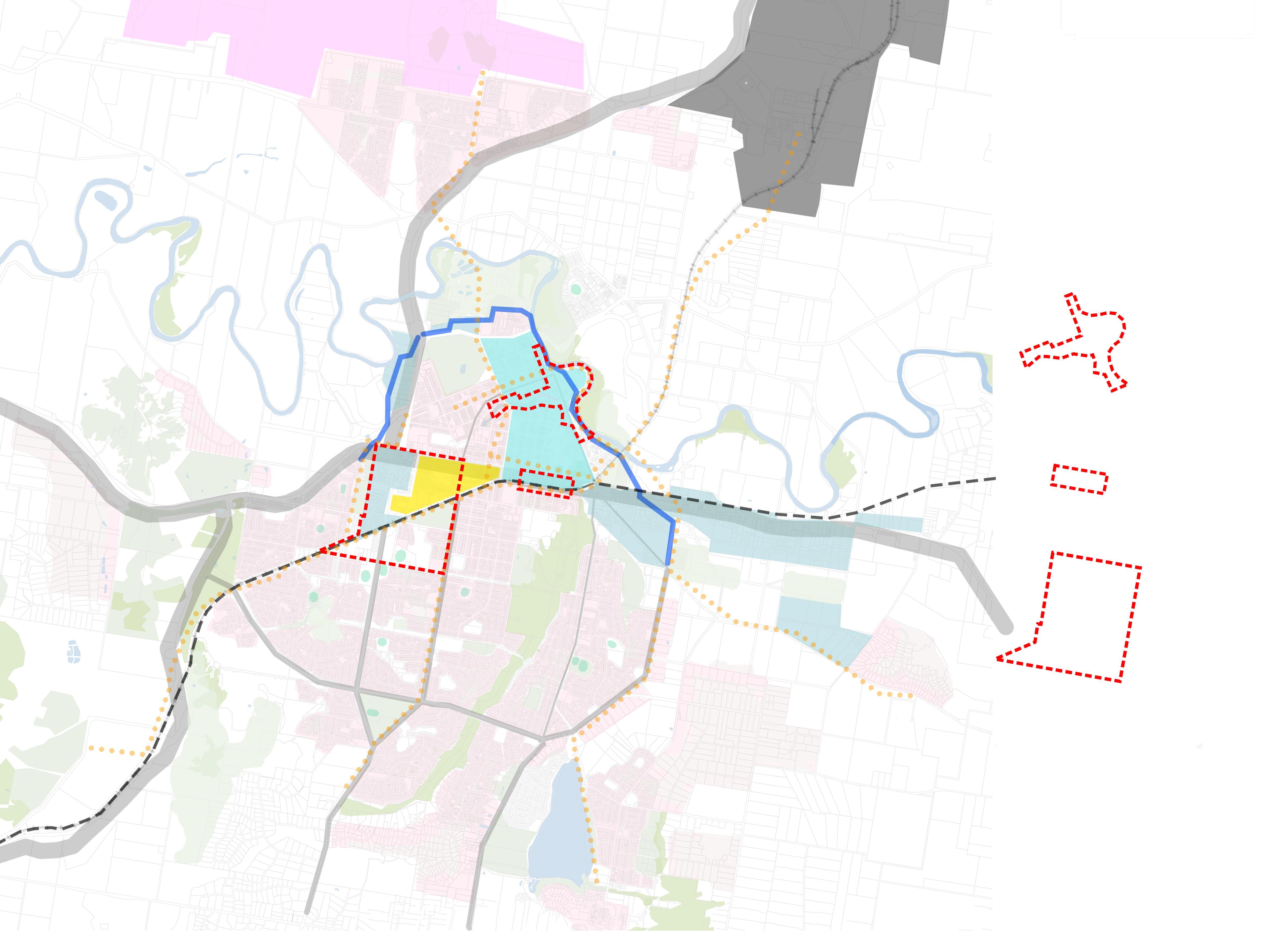
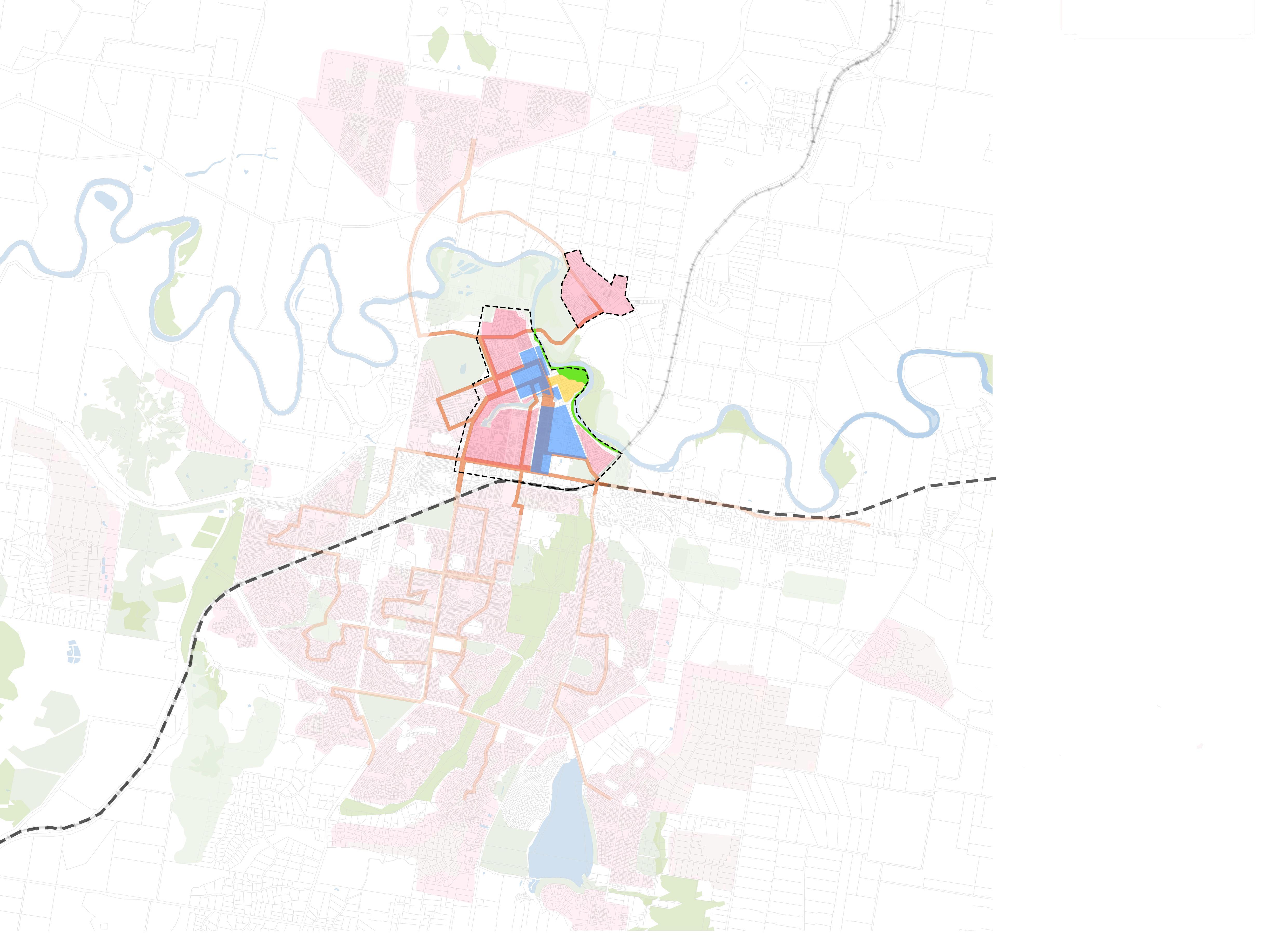
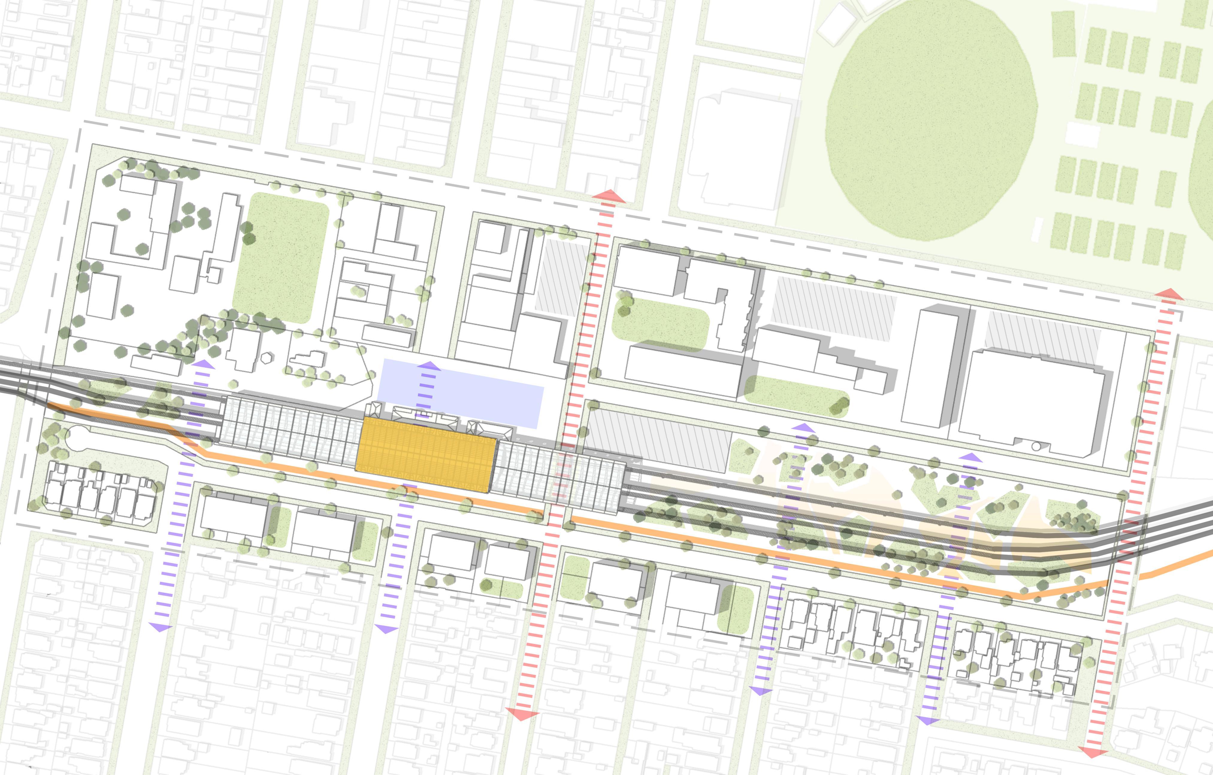
Health and Knowledge Precinct Station
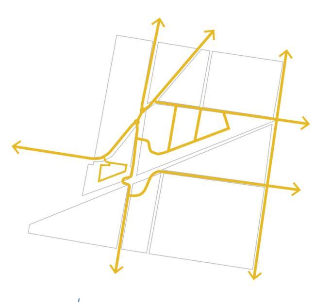
Cycle network
Connectivity
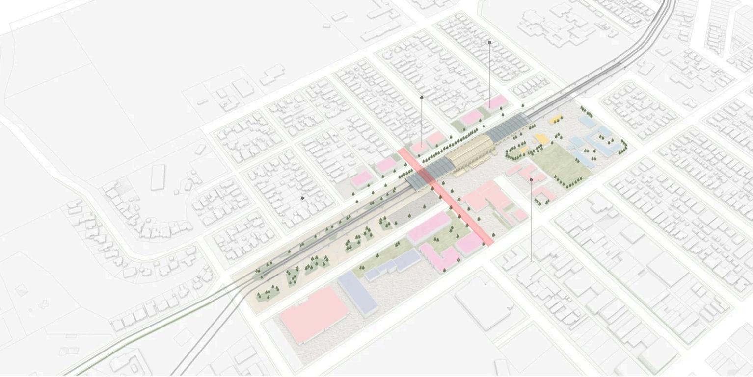
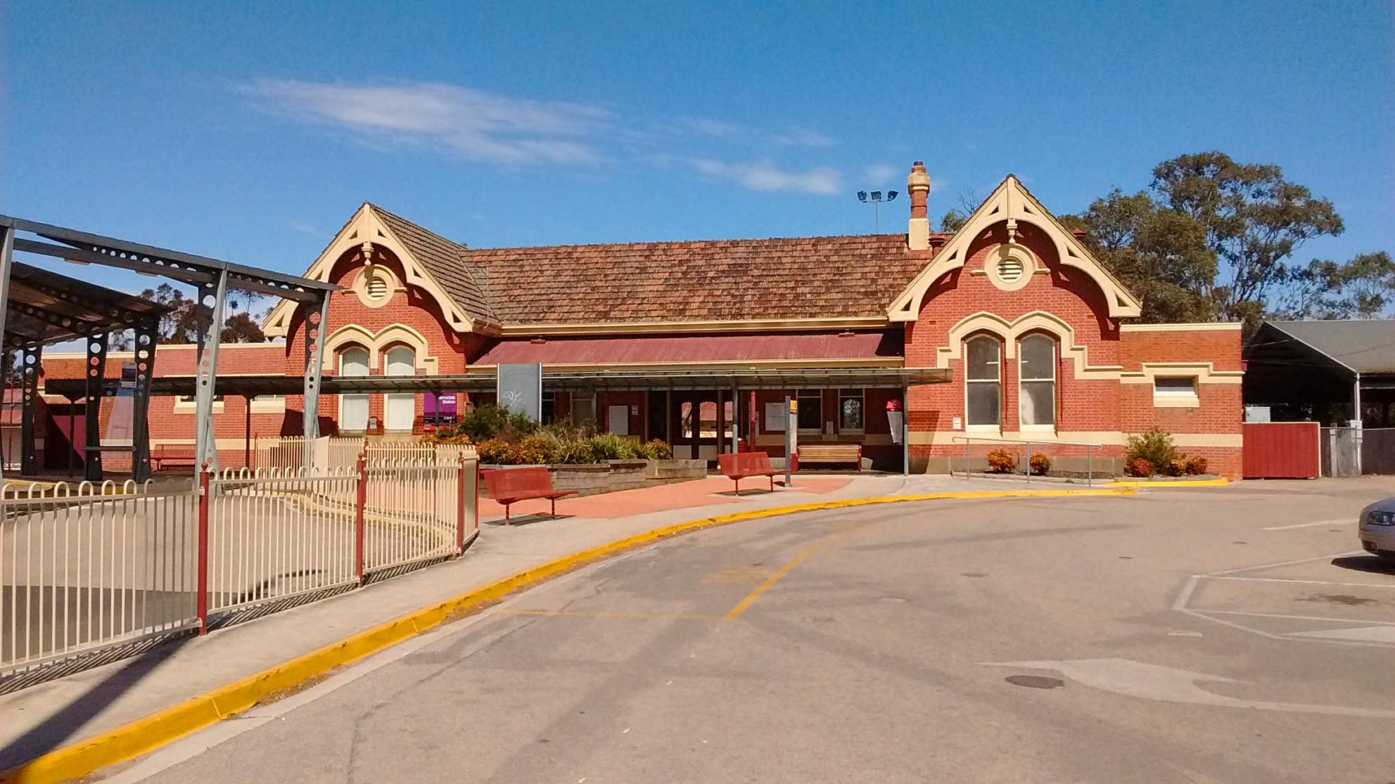
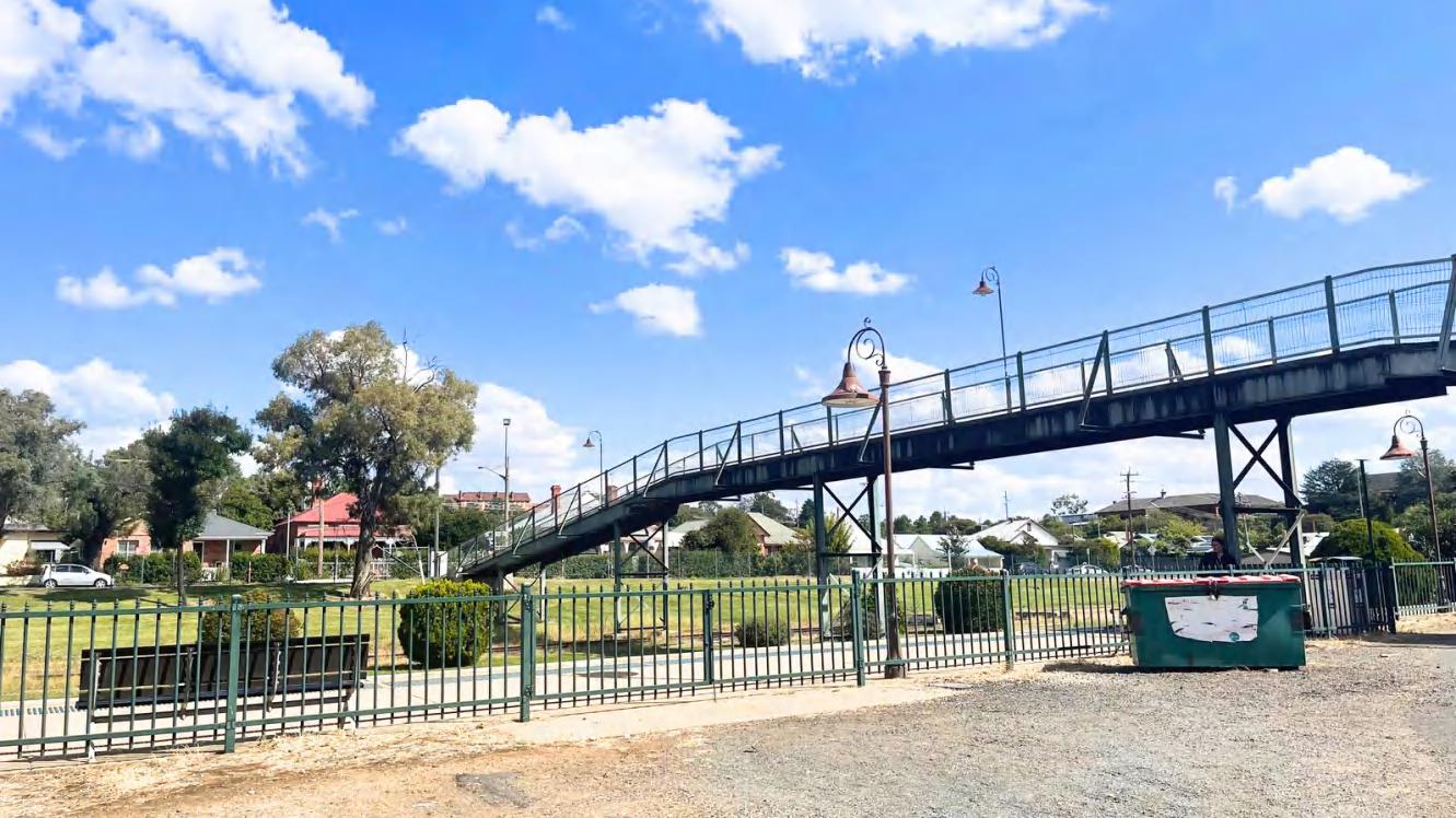
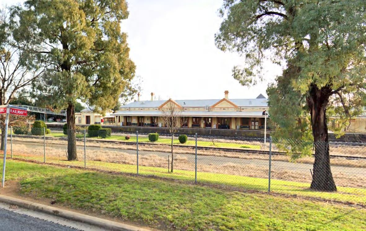
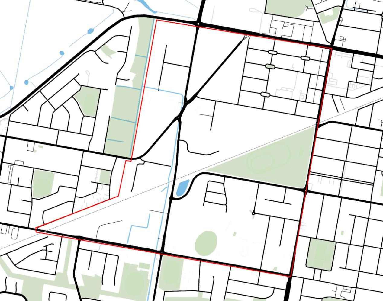
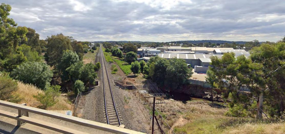
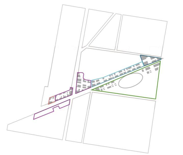
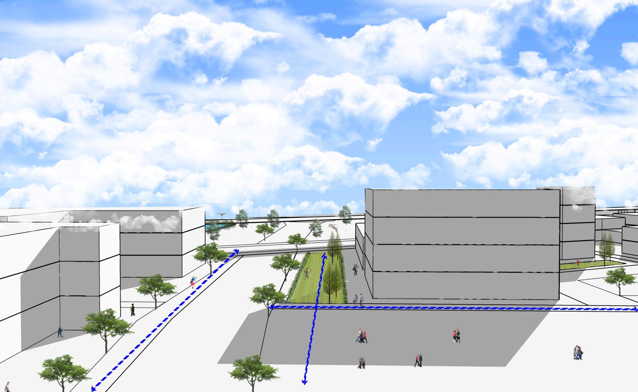
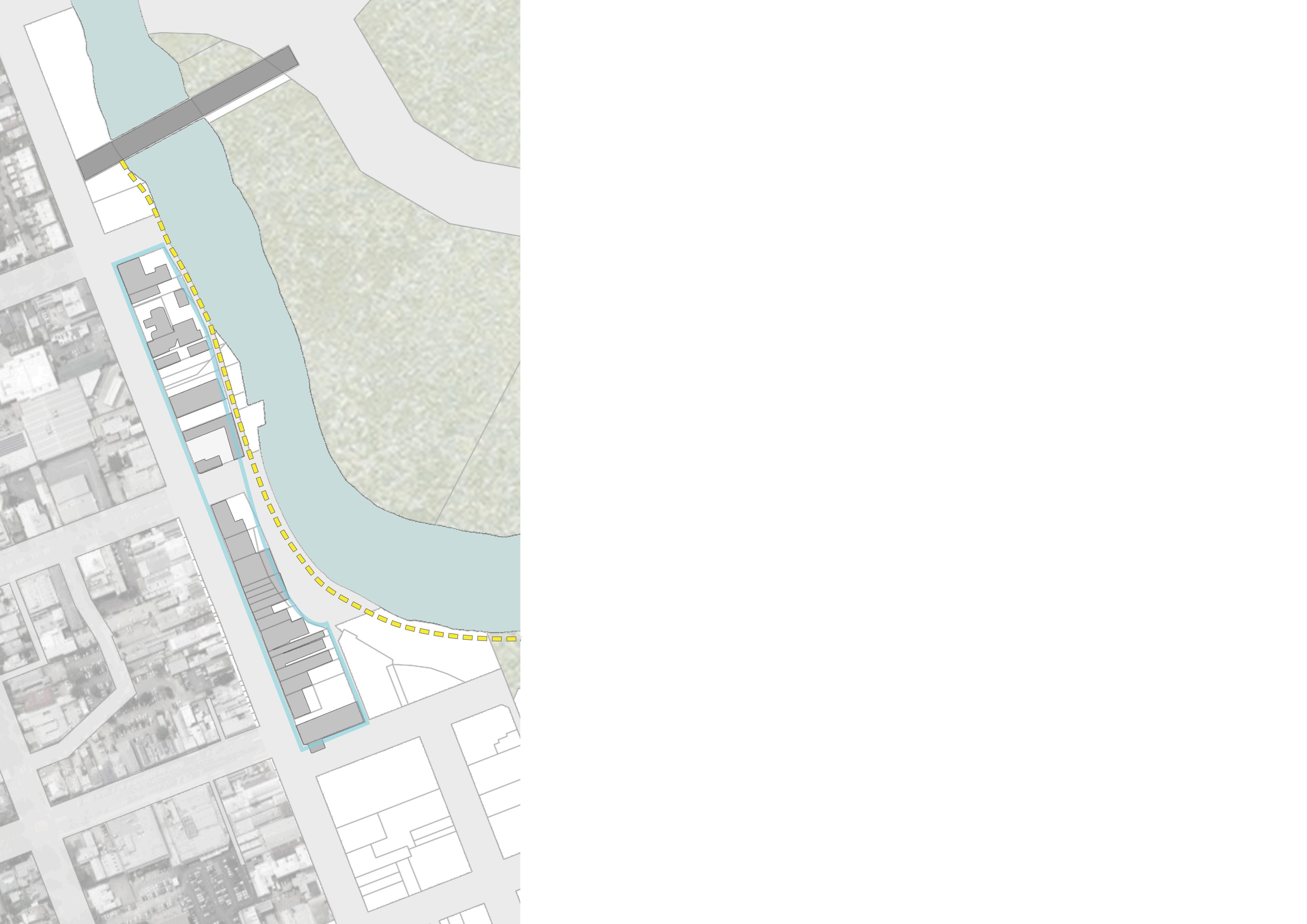
1.Weakconnectivityforpedestrians.
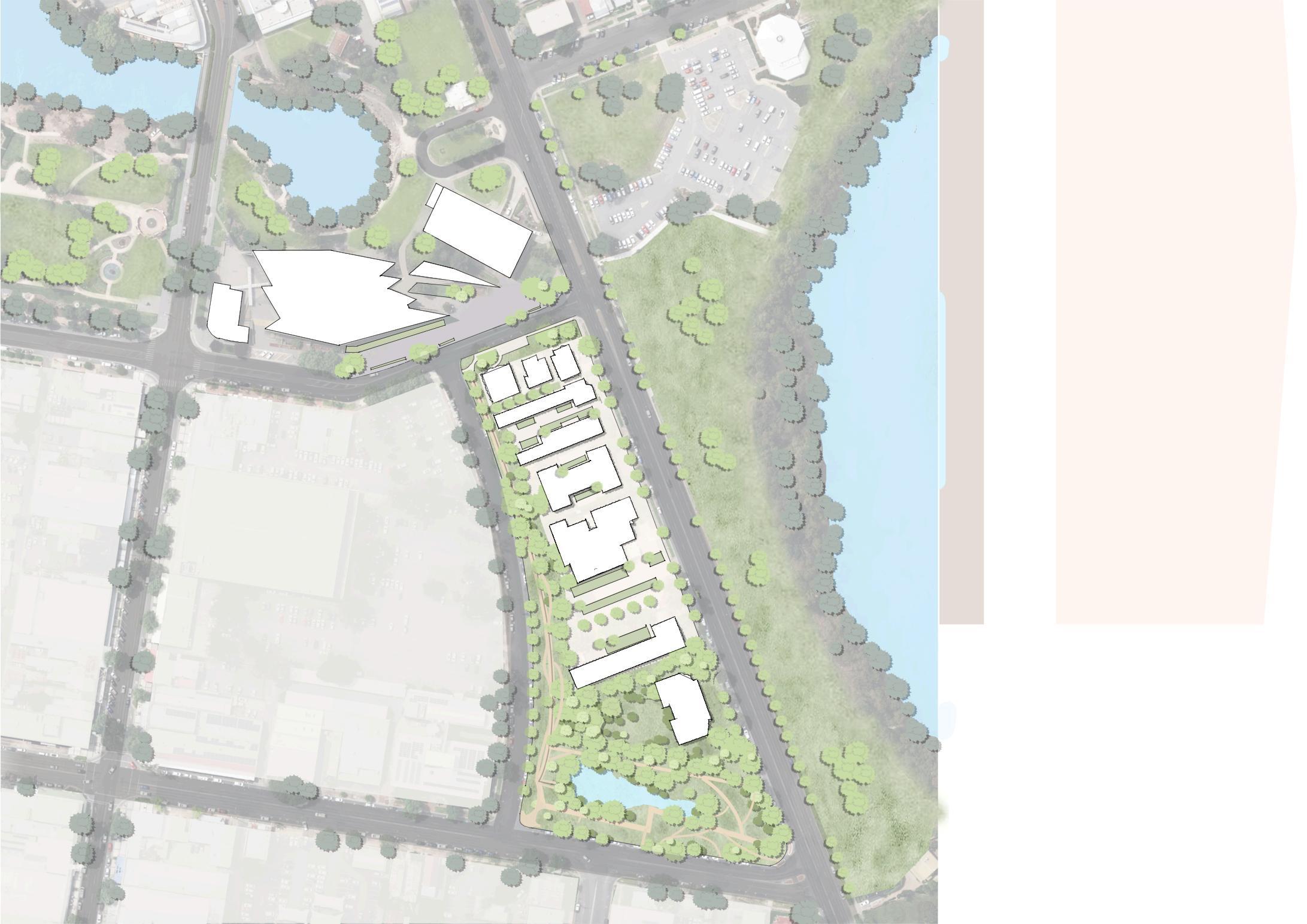
2.Characterizedbyasinglebuildingtype,ahighnumberofparkinglotsandunusedlots,andalackofpublicfacilities.
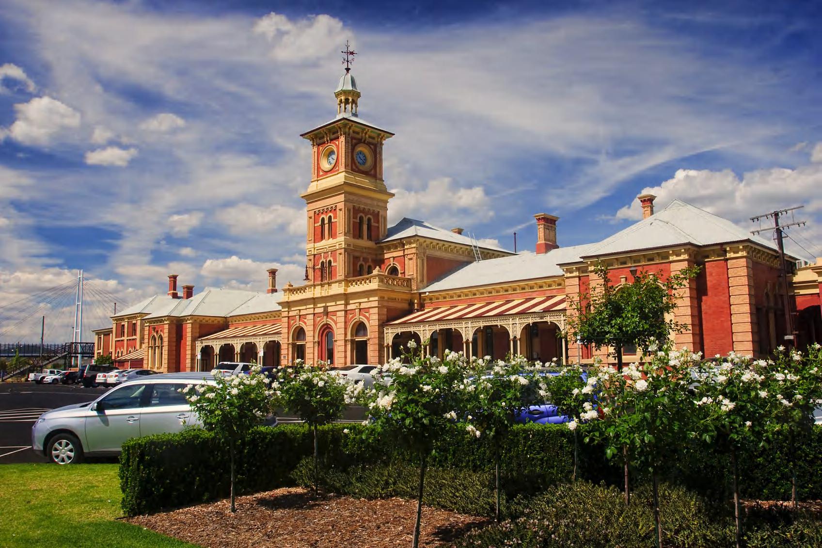
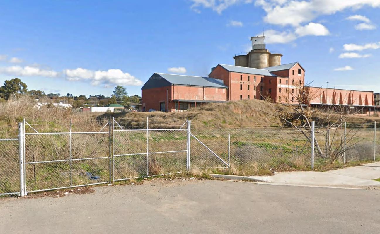
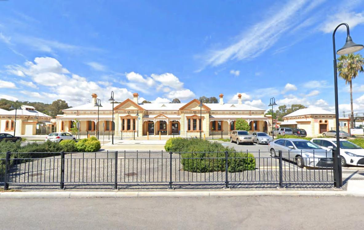
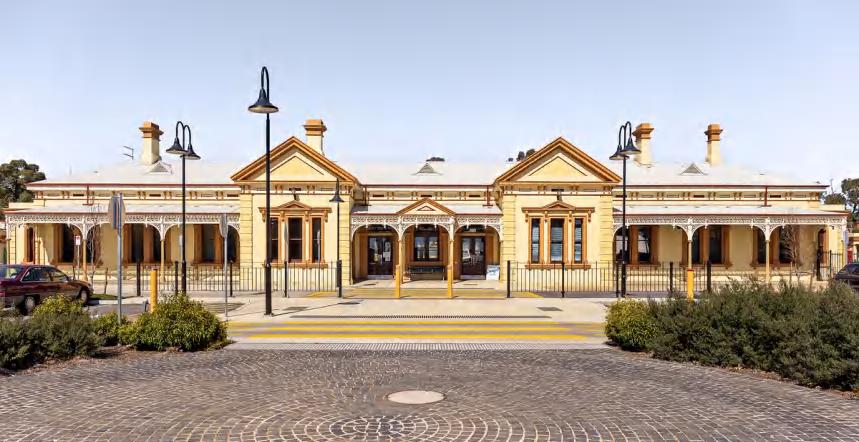
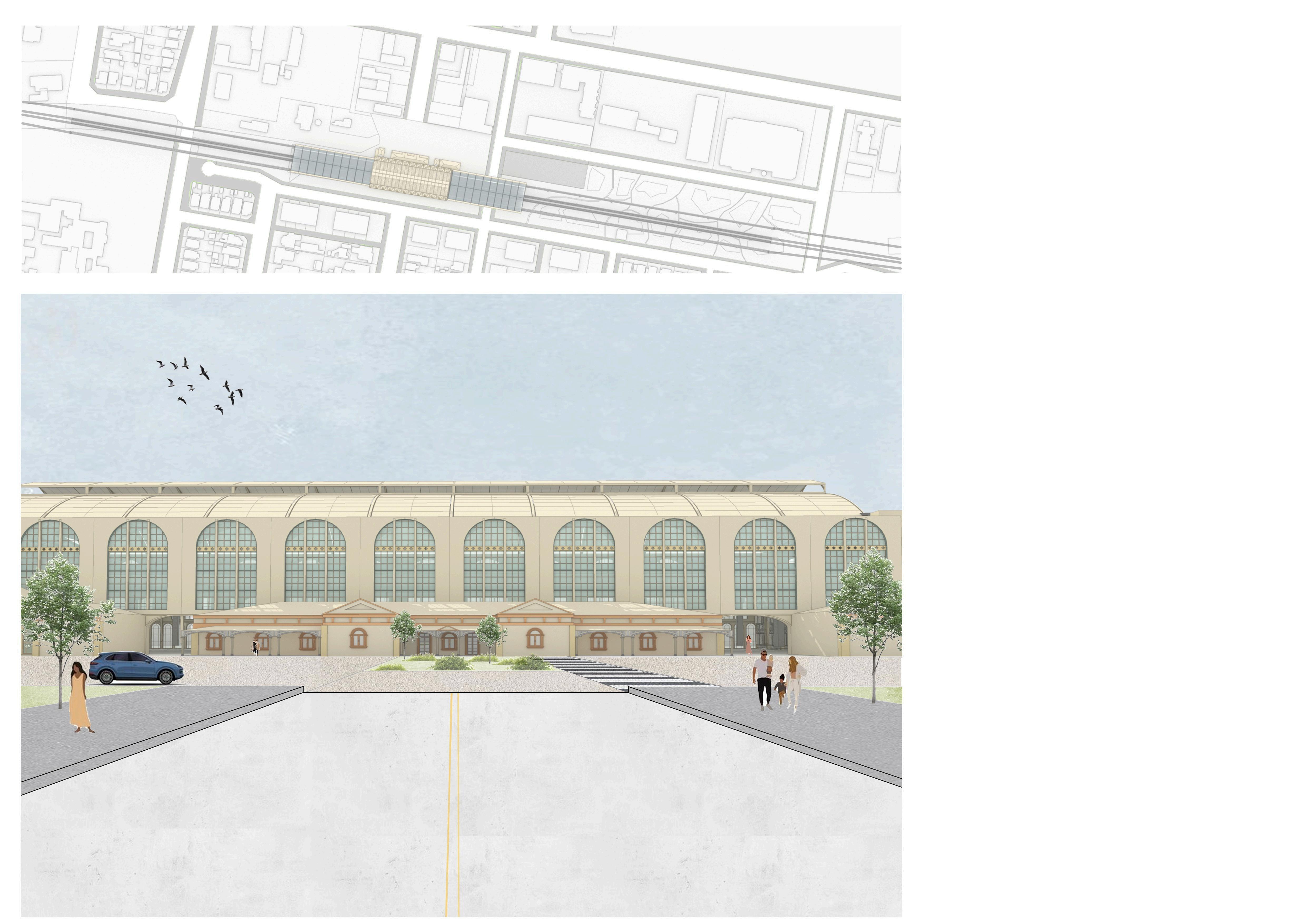
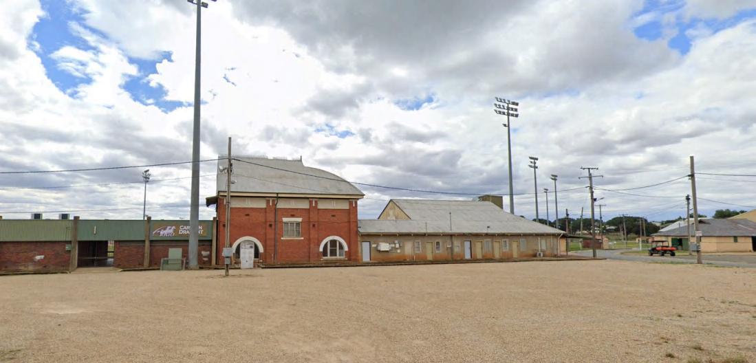
3.Heritagebuildingsarenotbeingutilized.
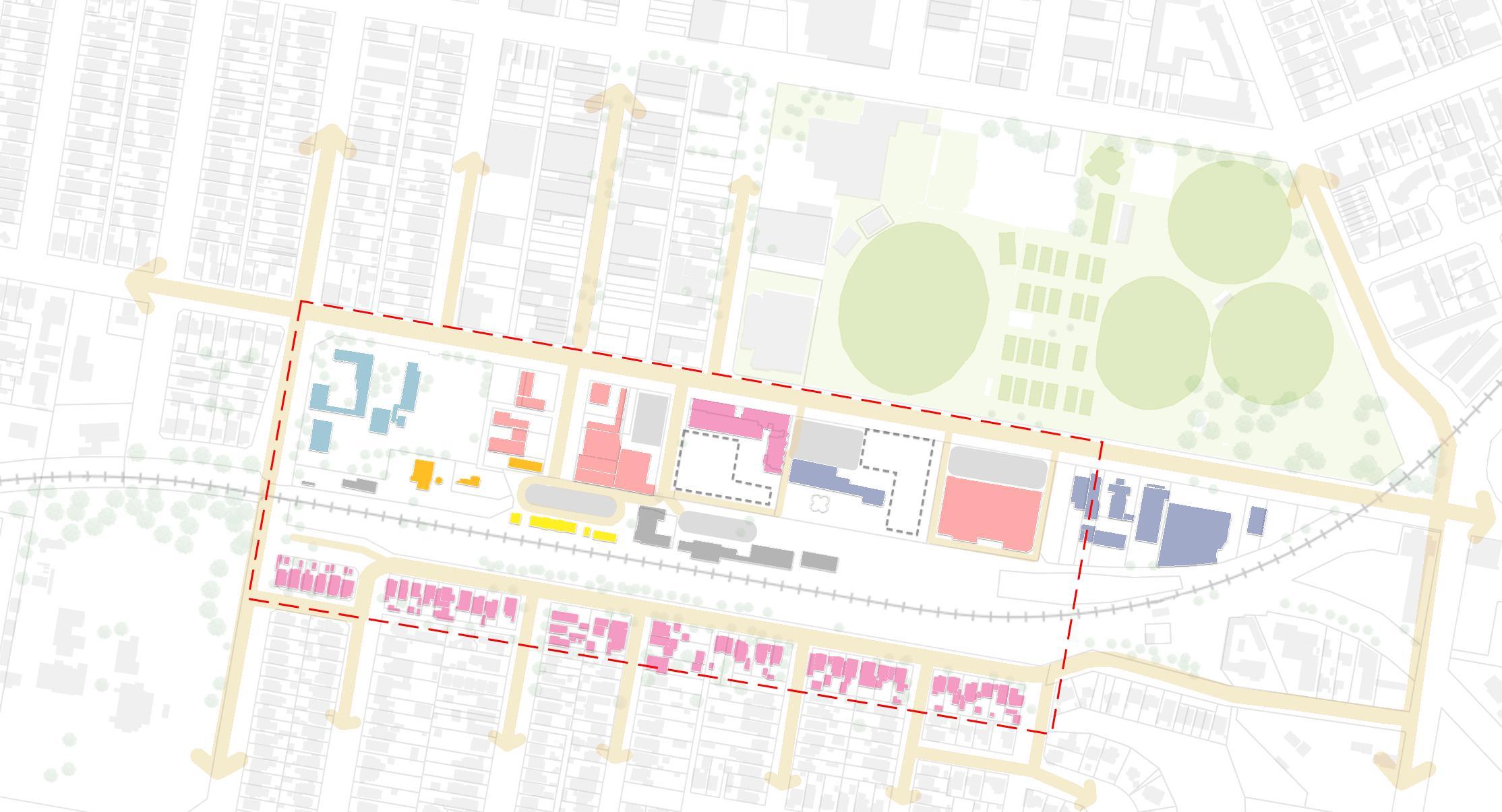

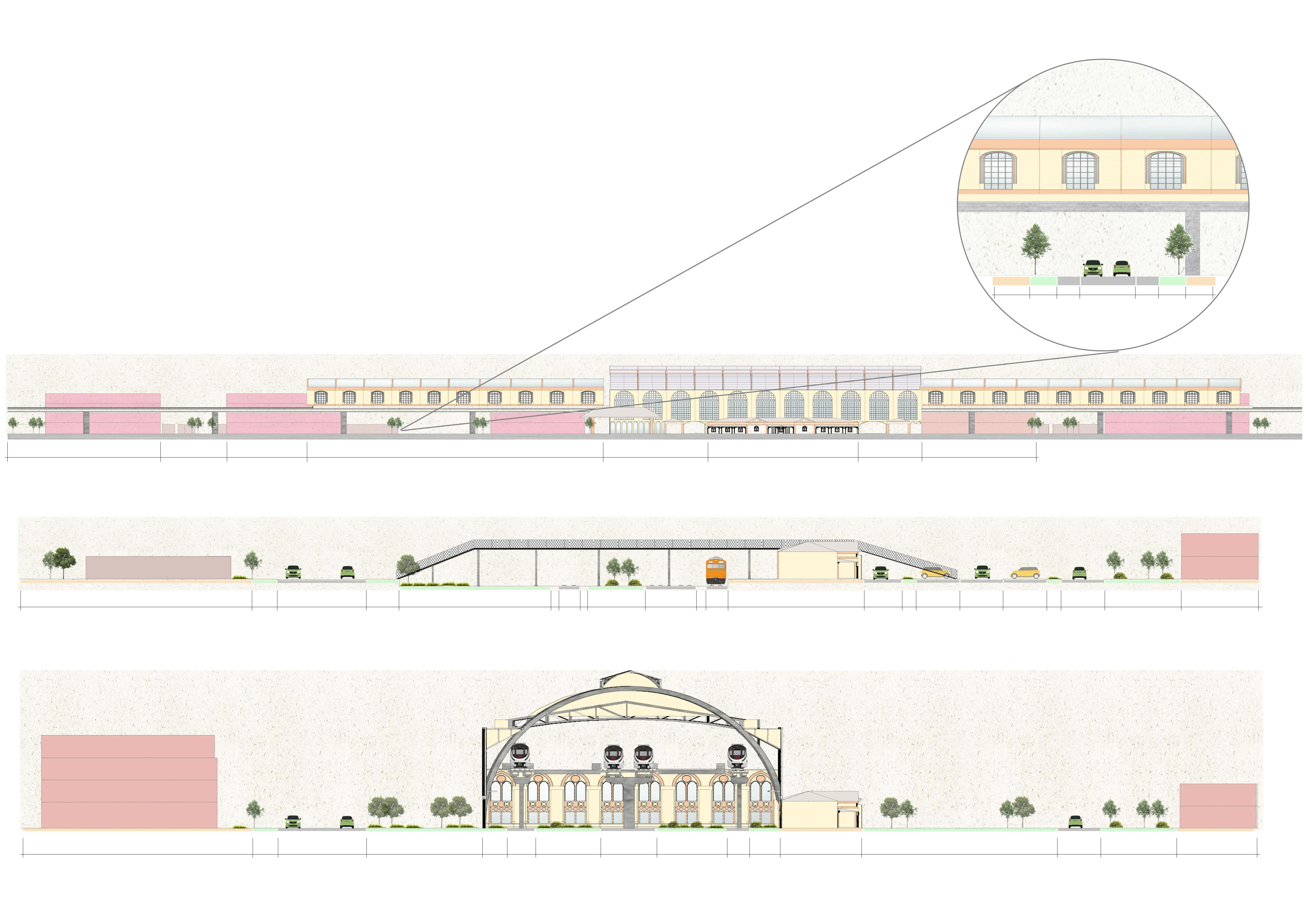
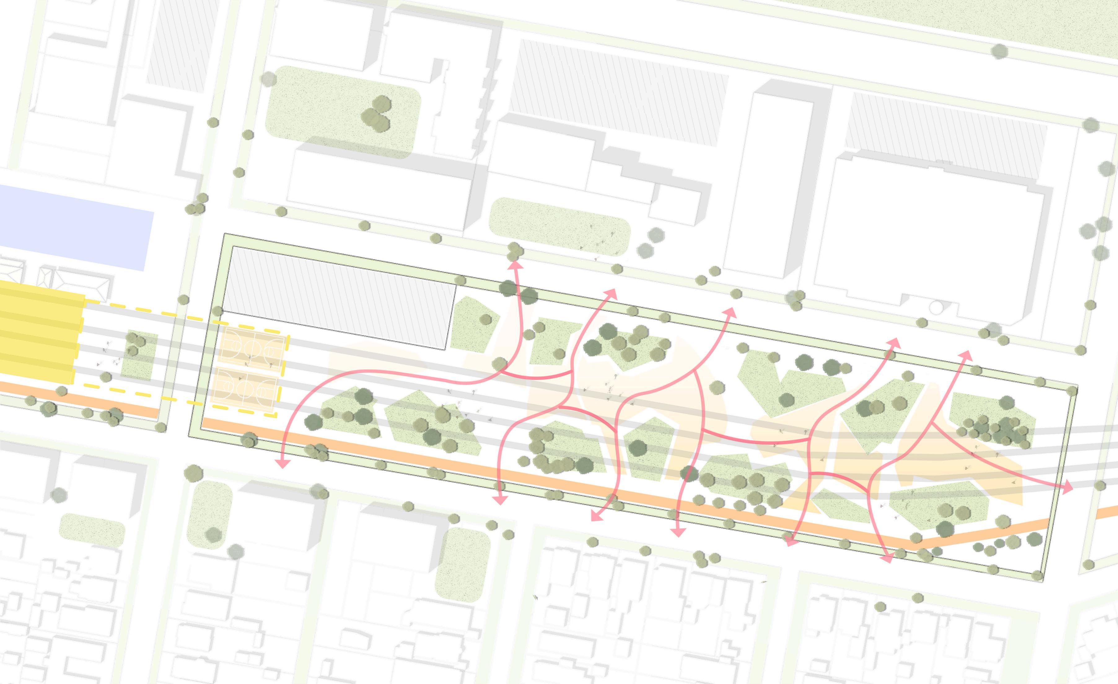

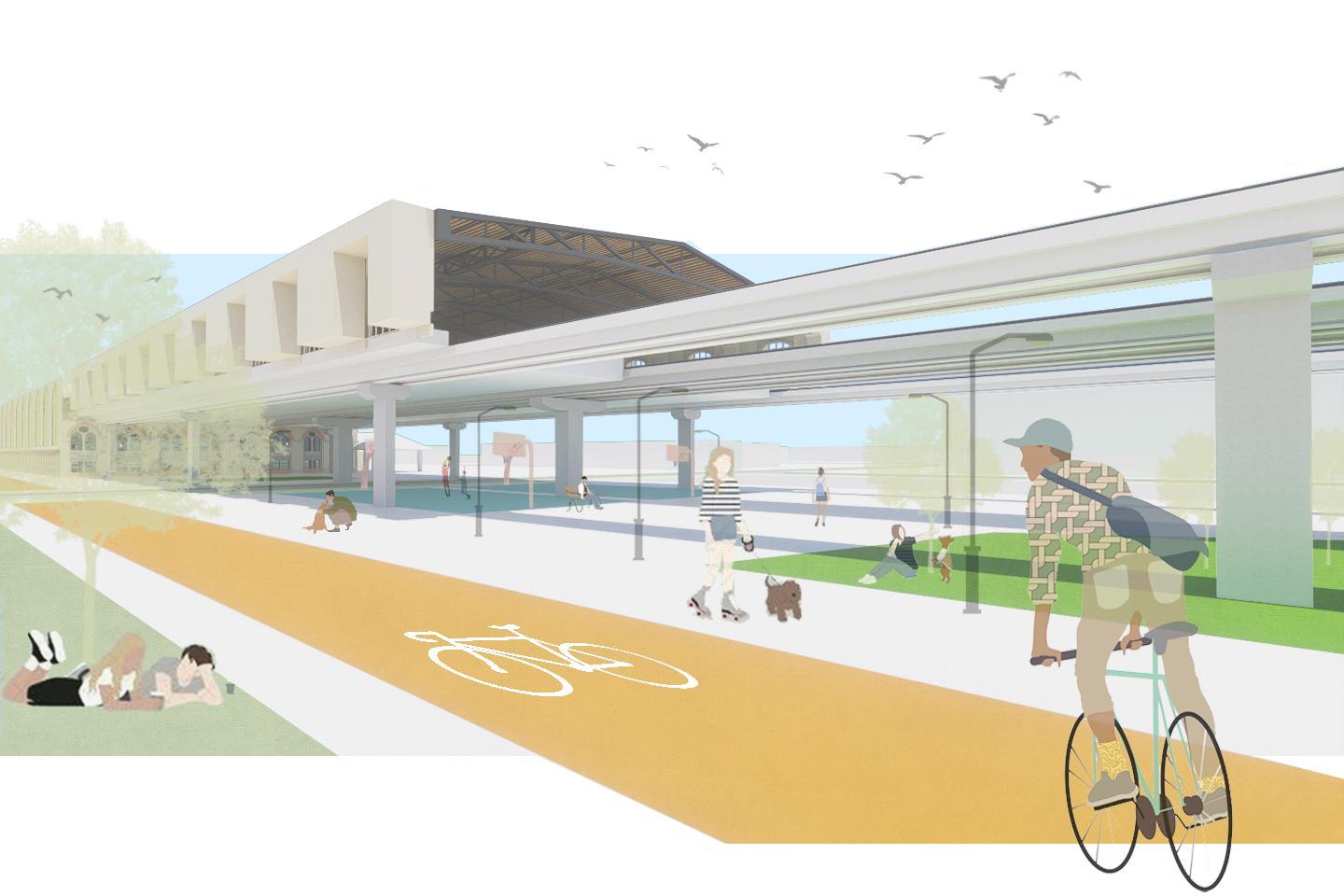

1.Improvedpedestrianconnectivitybyelevatingthetracksandutilizingthespaceunderneaththespaceasa publicpark.
2.Utilizingtheunusedspacetoincreasethenumberofbuildingtypes,suchasretail,hotel,officeandapartment.
3.Preservingandutilizingtheheritagebuildingasahistoricallandmark.


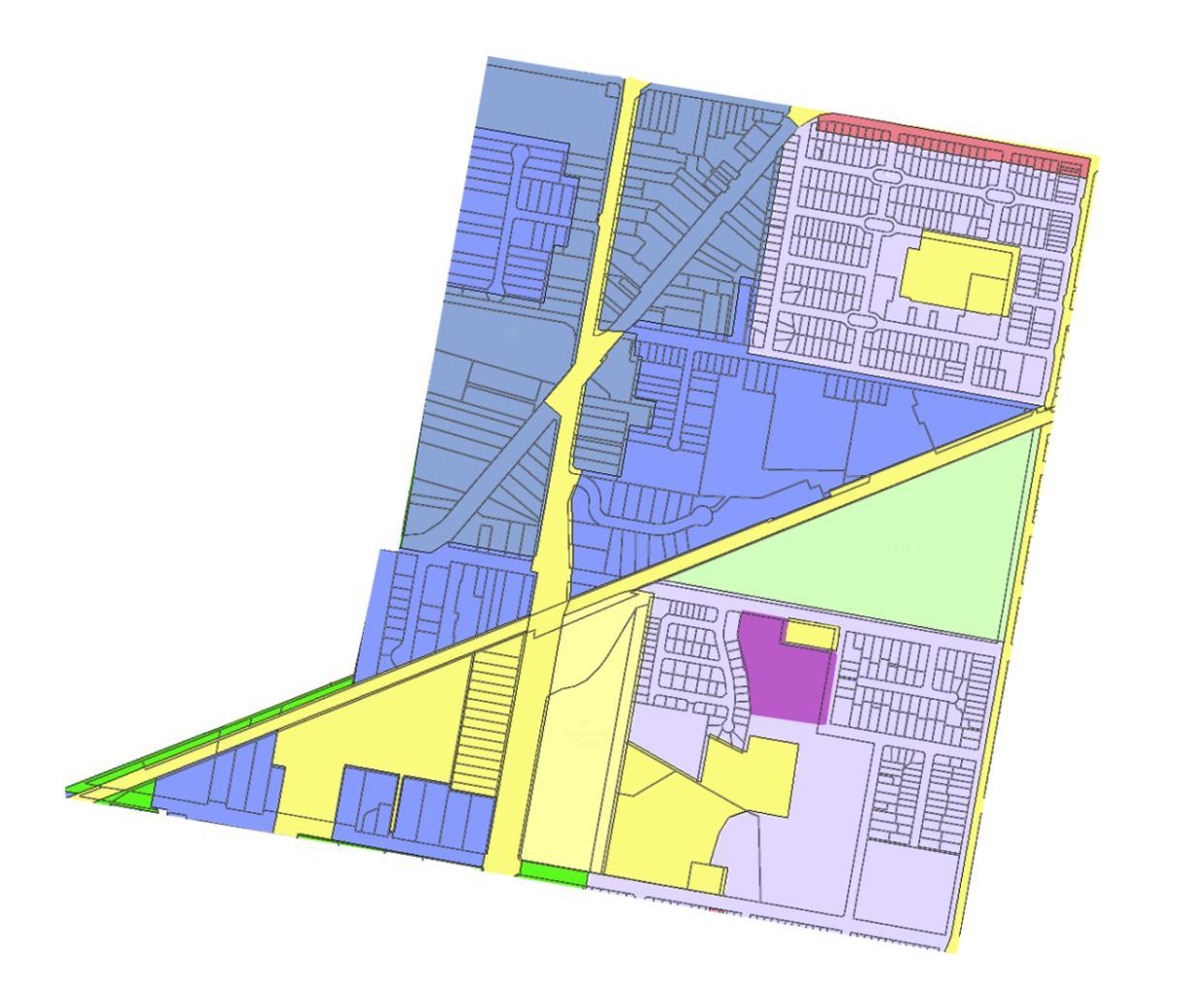
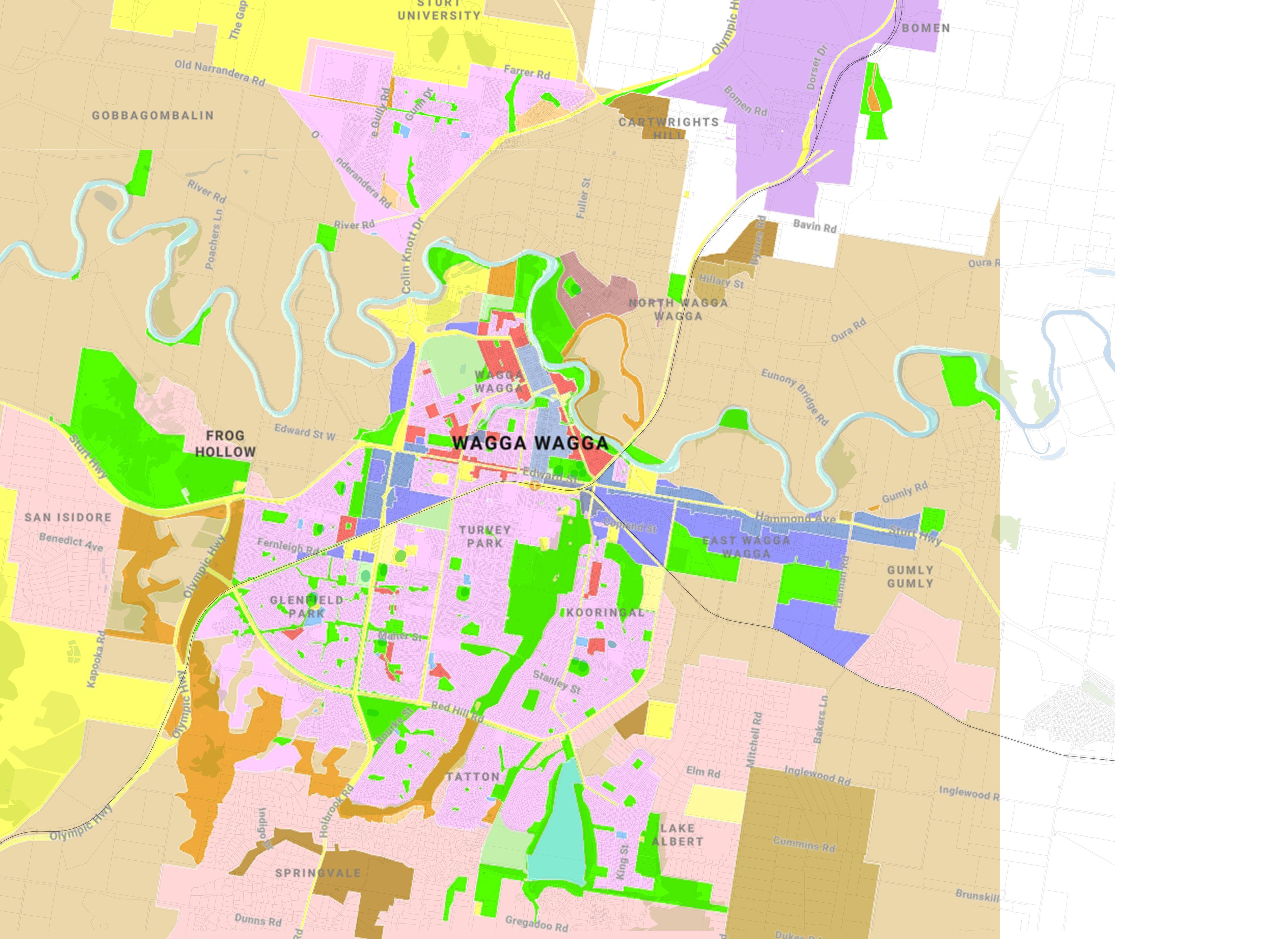
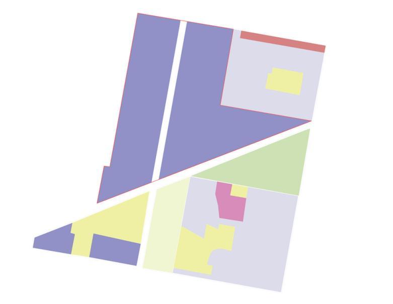
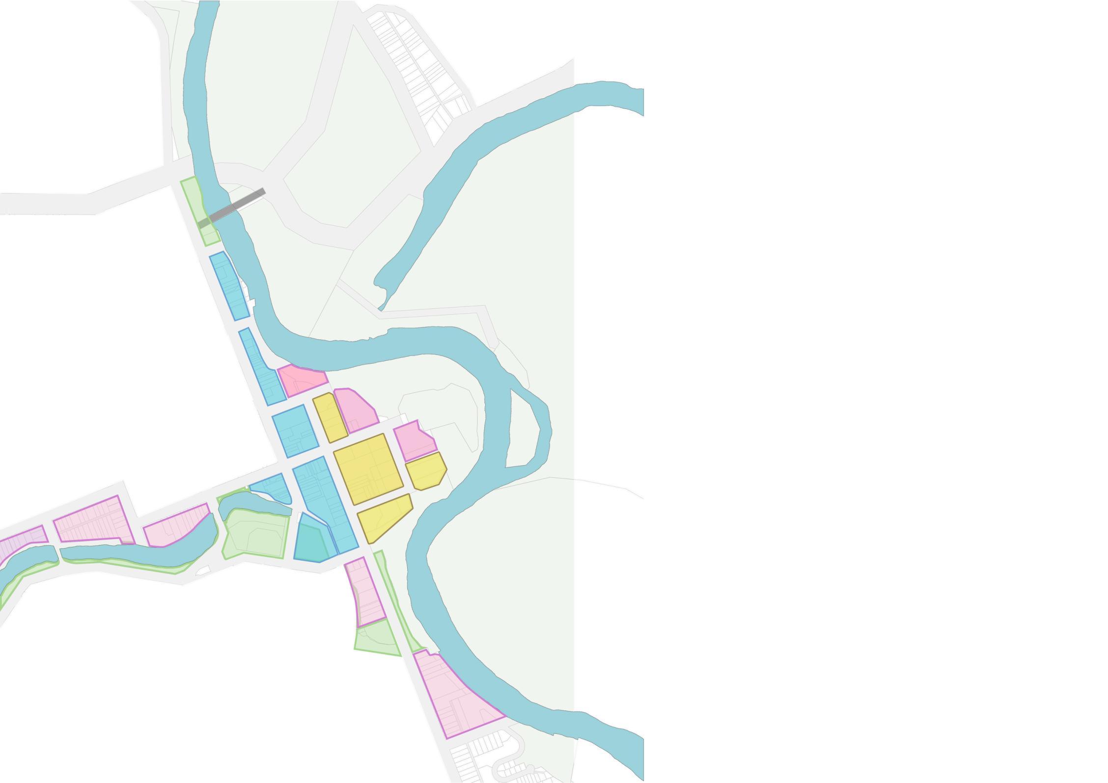
RE1 - Public Recreation
RE2 - Private Recreation
SP1 - Special Activities
SP2 - Infrastructure

R3 - Medium Density Residential
R1 - General Residential
E3 - Productivity Support
E4 - General Industrial
Landuse designprocess
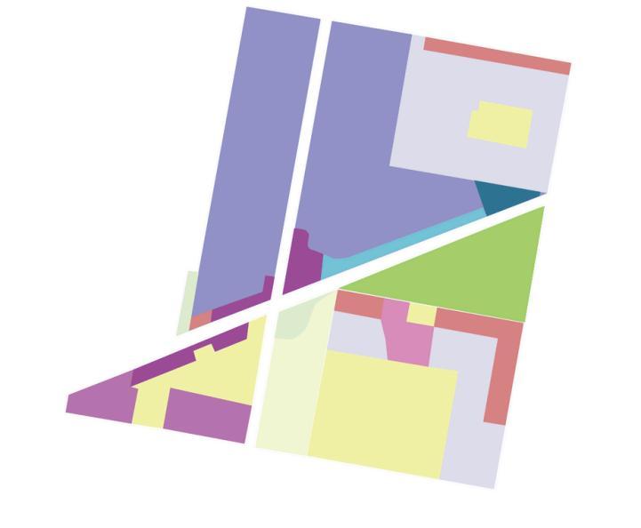
R3-MedumDenstyResdentia
R1 - General Resdentia
E2 - Commerca Centre
MU1 - Mixed Use
SP2 - Infrastructure- Sport medical clinic
E3 - Productvty Support
RE1-PubicRecreation
SP1 - Specal Activities
SP2-Infrastructure
Streetandblock designprocess
Greenandbluenetwork
designprocess
Buildingform designprocess

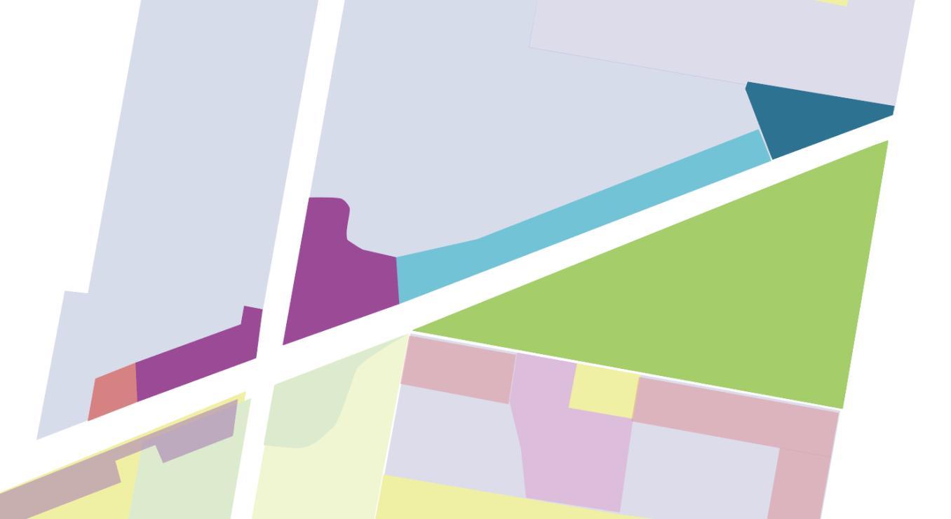
R3-MediumDensityResidential
MU1 - Mixed Use
SP2 - Infrastructure- Sport medic
E3 - Productivity Support
E2 - Commercial Centre
RE1-PublicRecreation
The primary green connections are also the main connections for cyclists and pedestrians.
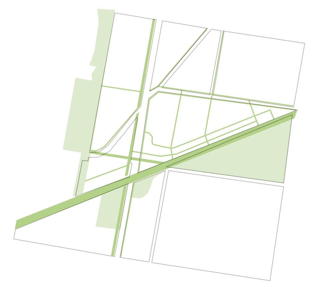
I have extended the internal site roads, and vehicles will park on the outer perimeter of the site.


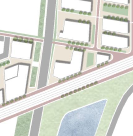
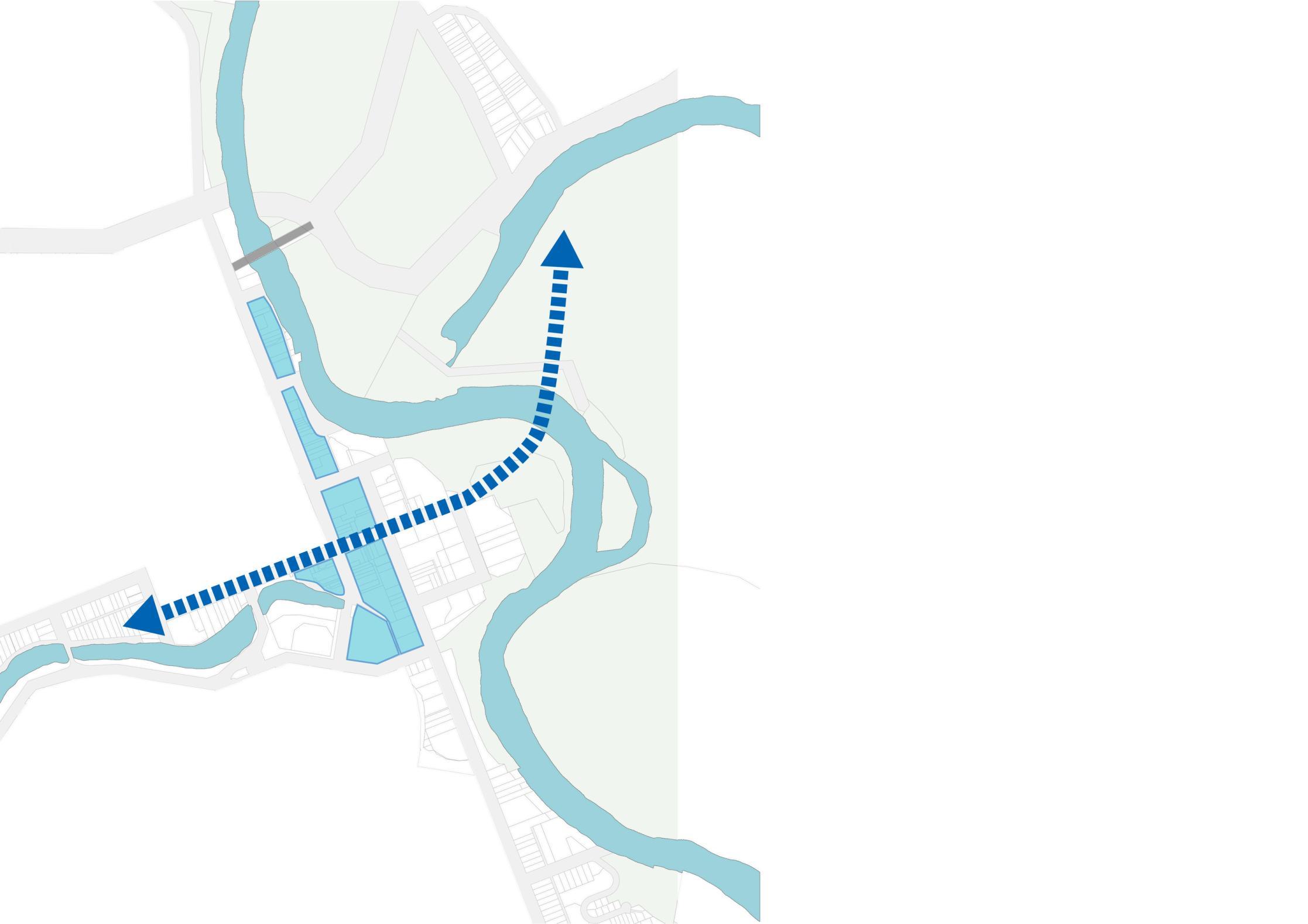
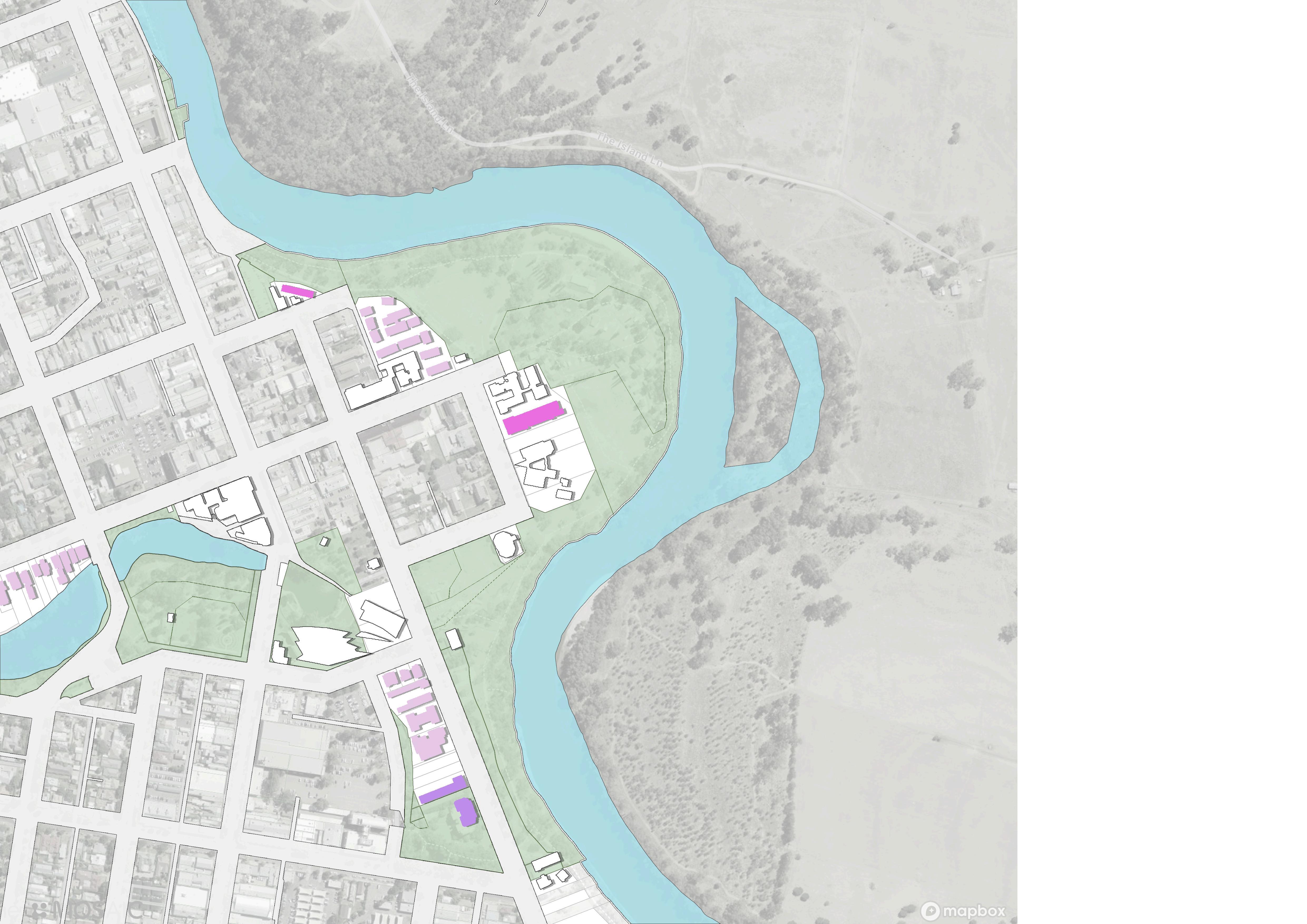
4. Adding a cross-river road link to the North Wagga


MediumDensityResidential
ResidentialDensityIncrease
Blueconnect
Leveetype1(green)
Leveerenew
Leveetype2(hard)
Newroadconnect
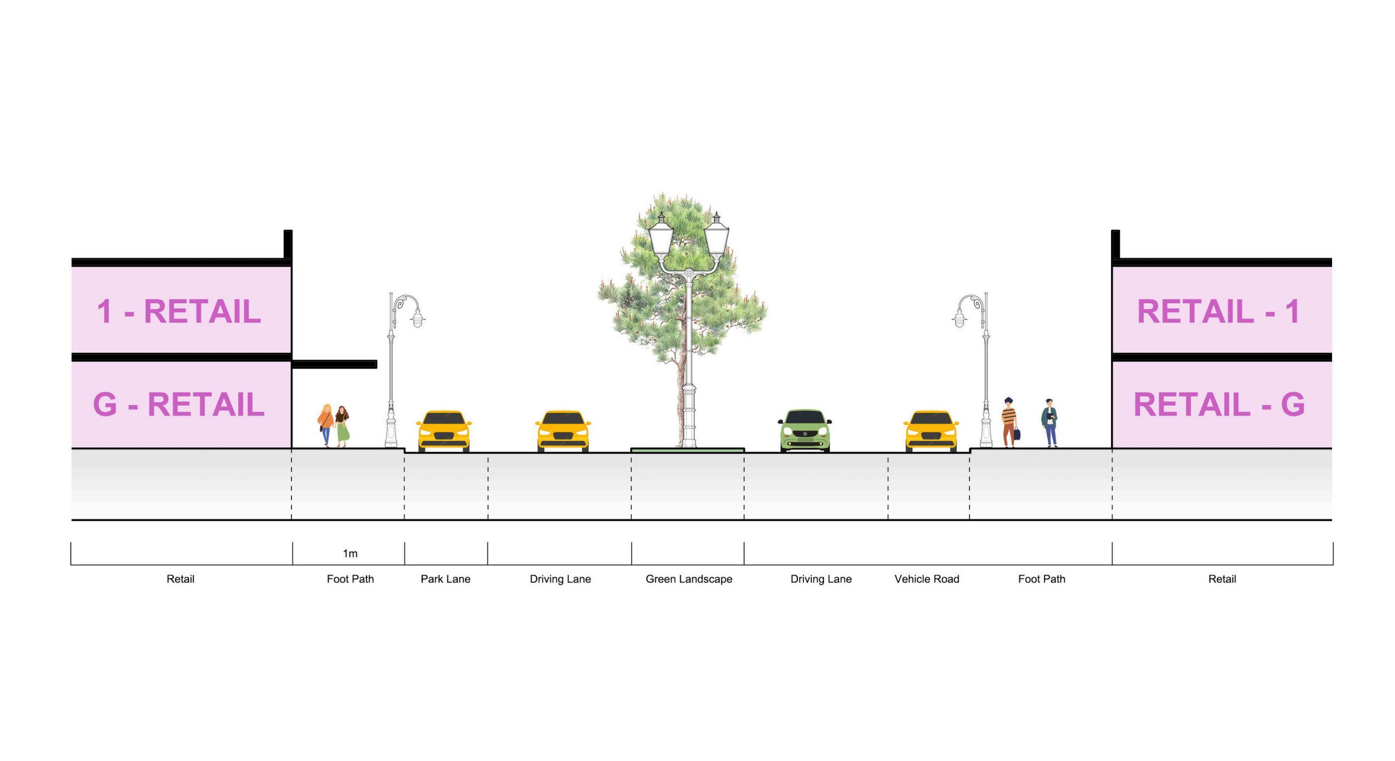
SectionC-existing
SectionC-proposed
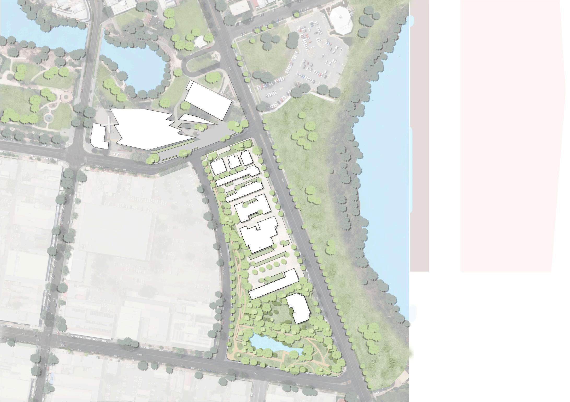


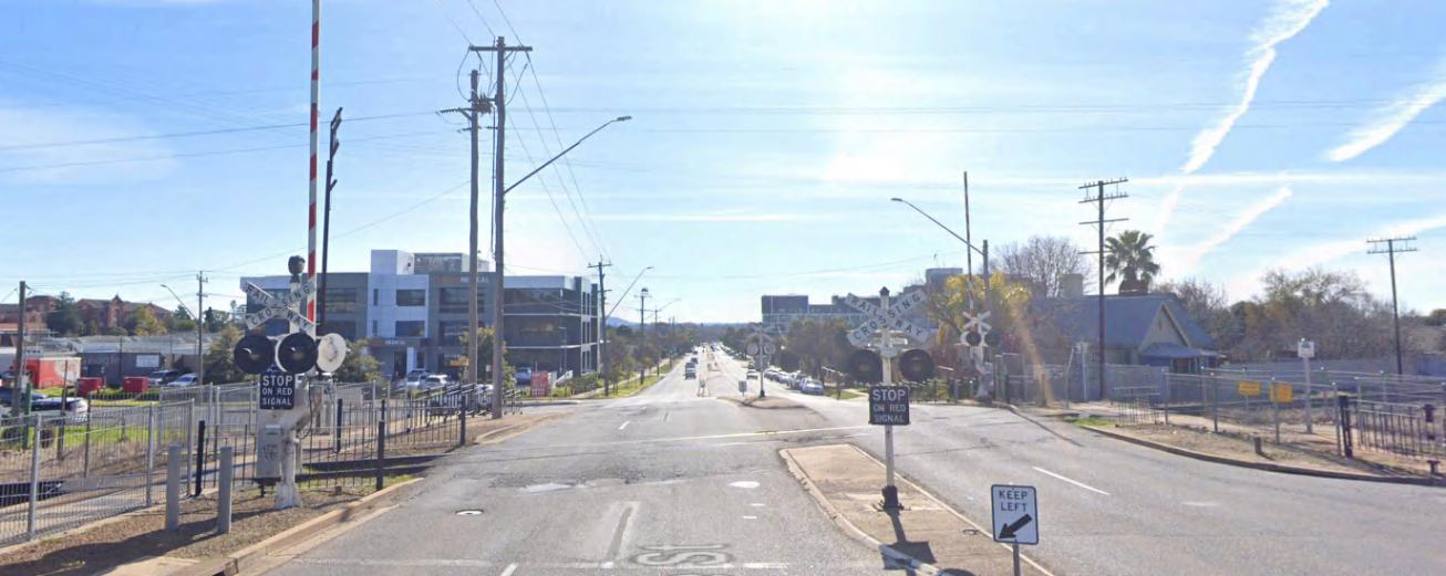
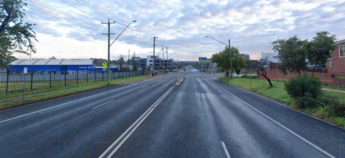
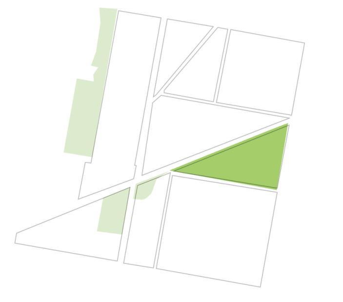
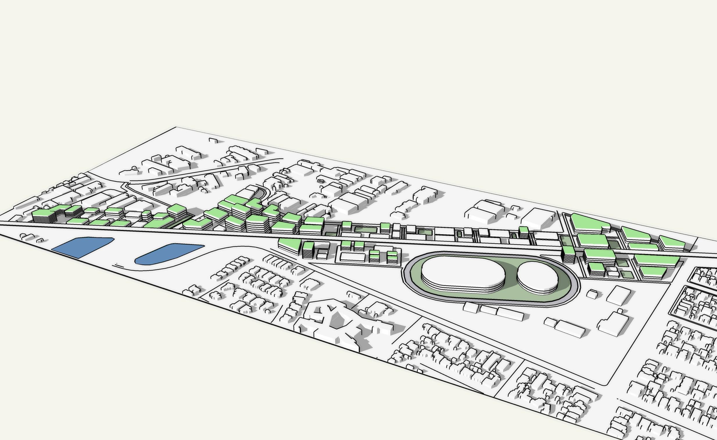
1.ConstructionoftheHSRandtheHSRcorridor.
2.EnhancementofCBDandhealthandknowledgeprecinct.
3.Floodmanagement,greencorridorandconnectivity improvements
1.Expansionofthecity�spopulationtothenorth.
2.Newlightrailtoimprovepublictransportation.
3.Realizationofa15-minutelivingareainadditiontotheCBD.
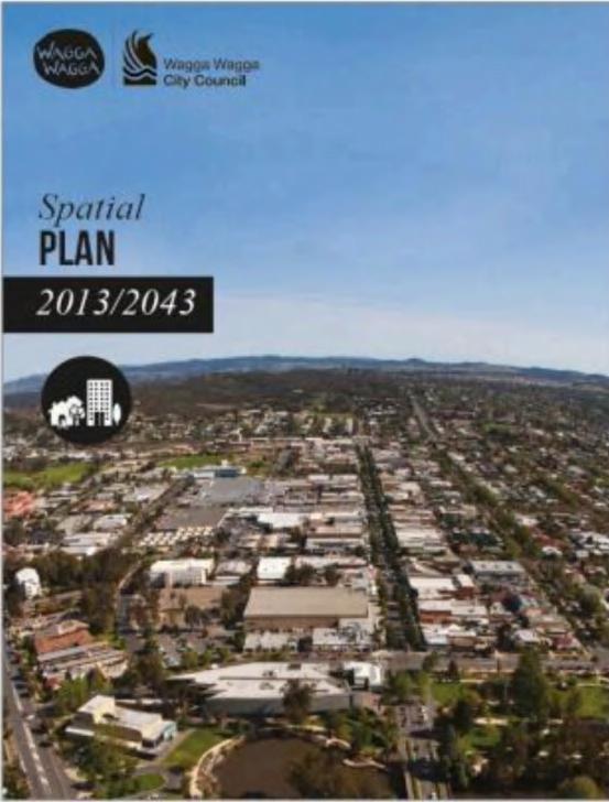
Council, W. W. C. (2013). Spatial Plan.
Wagga, C. o. W. COMMUNITYSTRATEGIC PLAN 2040.
Wagga, C. o. W. RECREATION, OPEN SPACE AND COMMUNITY STRATEGY AND IMPLEMENTATION PLAN 2040.
Wagga, C. o. W. WAGGA WAGGA INTEGRATED TRANSPORT STRATEGY AND IMPLEMENTATION PLAN 2040.
Government, A. (2020). TRANSPORT STRATEGY 2020.
Wagga, C. o. W. (2021). Local Strategic Planning Statement.
Active Travel Plan - Cycling 2016. City of Wagga Wagga. https://wagga.nsw.gov.au/the-council/planning-and-reporting/communityplanning/current-community-plans/active-travel-plan
Community Strategic Plan 2040. City of Wagga Wagga. https://wagga.nsw.gov.au/the-council/planning-and-reporting/communityplanning/current-community-plans/community-strategic-plan
Bolton Park Master Plan. City of Wagga Wagga. https://wagga.nsw.gov.au/the-council/planning-and-reporting/community-planning/currentcommunity-plans/bolton-park-master-plan
Health and Knowledge Precinct Master Plan. City of Wagga Wagga. https://wagga.nsw.gov.au/the-council/planning-andreporting/community-planning/current-community-plans/health-and-knowledge-precinct-masterplan
Recreation, Open Space and Community Strategy and Implementation Plan 2040. City of Wagga Wagga. https://wagga.nsw.gov.au/thecouncil/planning-and-reporting/community-planning/current-community-plans/recreation,-open-space-and-community-strategy-andimplementation-plan-2040
Soccer Development Strategy. City of Wagga Wagga. https://wagga.nsw.gov.au/the-council/planning-and-reporting/communityplanning/current-community-plans/soccer-development-strategy