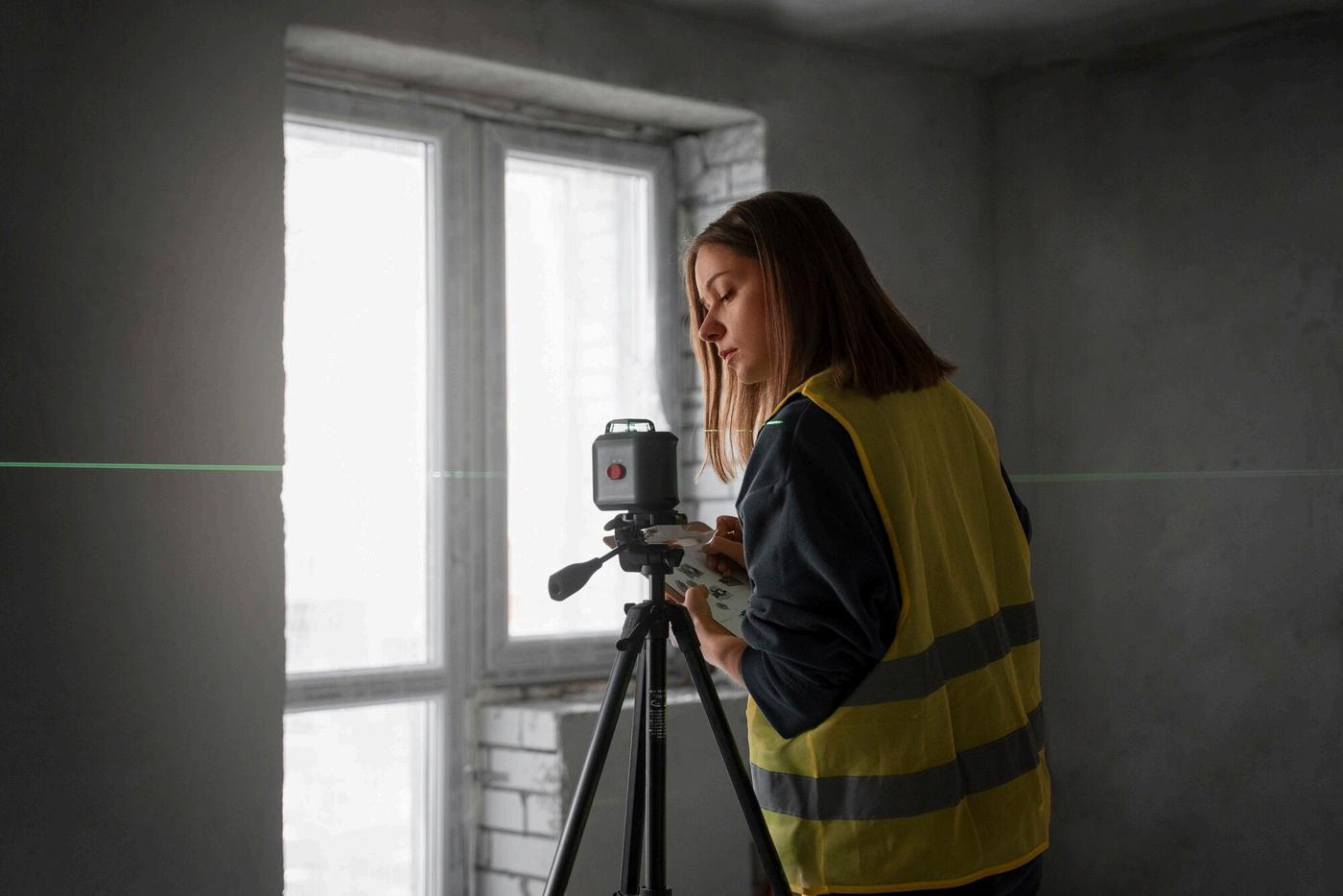


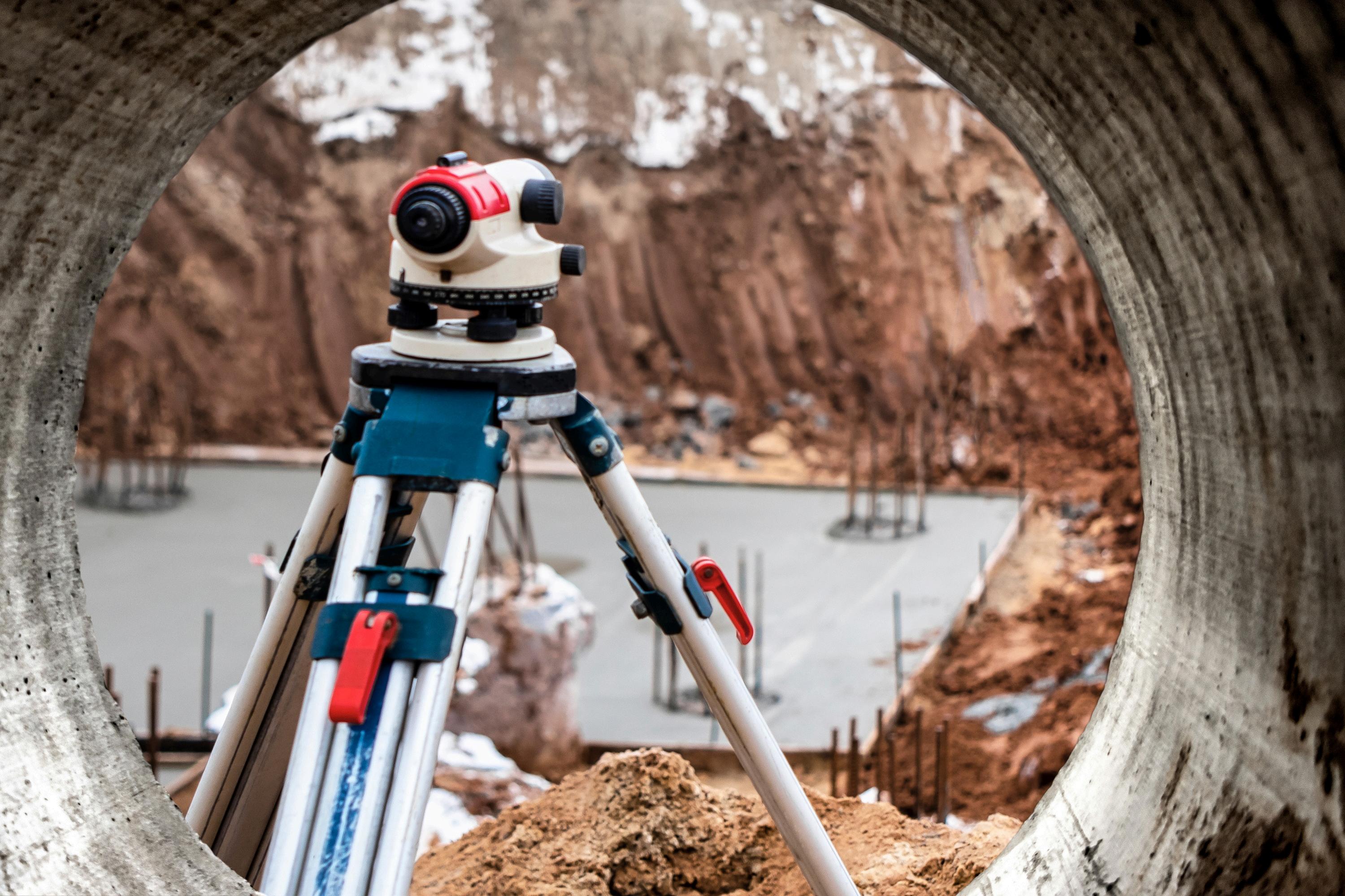
Mapping and laser scanning play a critical role in capturing existing site conditions with exceptional accuracy. Using advanced surveying methods, detailed three-dimensional representations of terrain, structures, and assets are created to support design, engineering, and construction workflows.
Laser scanning technology uses high-density point cloud data to capture millions of measurements in a short time. This allows surveyors to document sites, structures, and environments with unmatched precision. At 2Survey Pty Ltd, laser scanning is applied to capture accurate spatial data for construction sites, transport infrastructure, utilities, and built assets.

Mapping and laser scanning surveyor solutions provide measurable advantages across all project stages.
Key benefits include:
Accurate as-built documentation for existing conditions
Reduced site visits and improved safety
Faster project timelines through efficient data capture
Improved coordination between designers, engineers, and contractors
Enhanced risk management through early issue detection
These benefits help construction and infrastructure projects stay on schedule, on budget, and aligned with regulatory requirements.

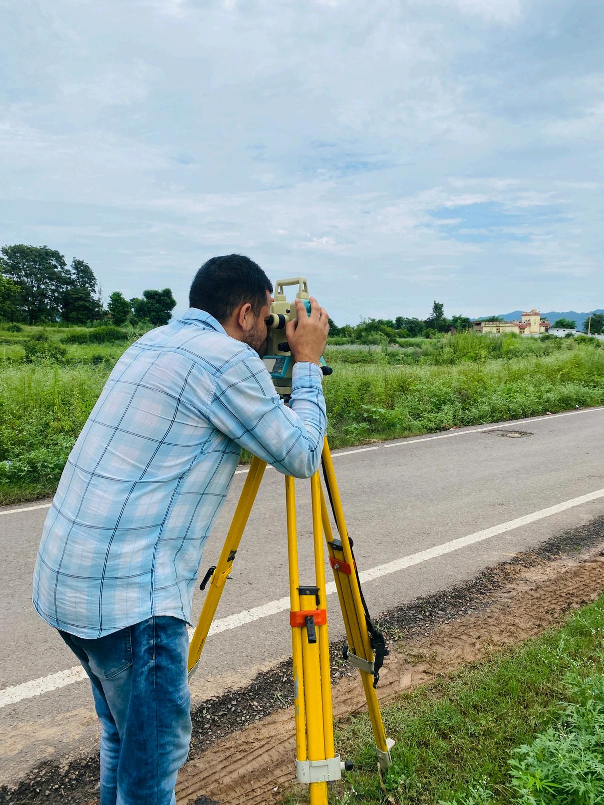
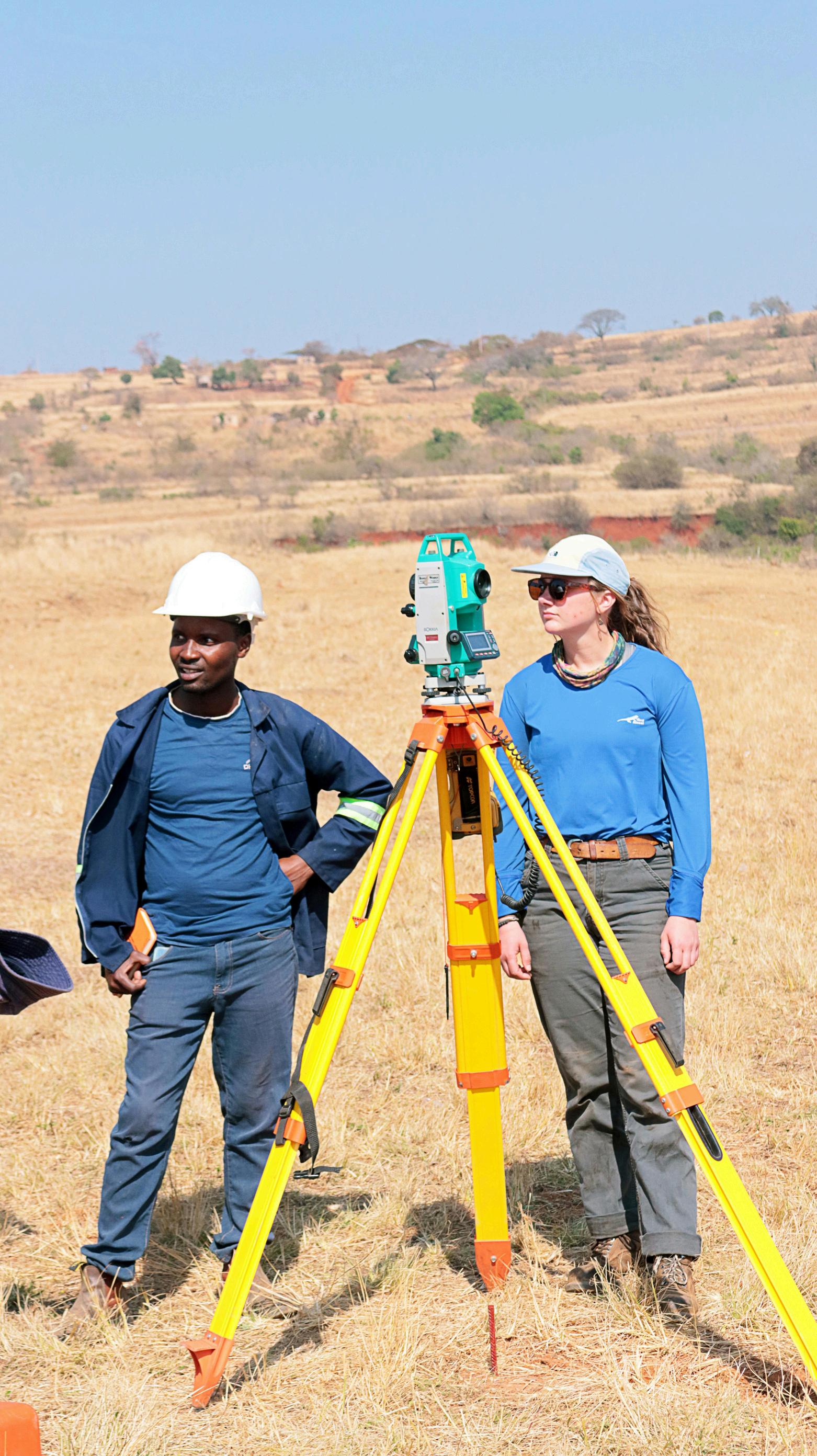
Mapping and laser scanning surveyor solutions support a wide range of construction and infrastructure projects by delivering accurate, reliable spatial data. 2Survey Pty Ltd applies these solutions across diverse environments to support planning, execution, and long-term asset management.
Used for roads, railways, bridges, and tunnels to capture existing conditions, support design development, and monitor construction progress.

Supports accurate site documentation, scan-to-BIM workflows, and coordination between architects, engineers, and contractors.
Enables precise mapping for utilities, public infrastructure, and urban projects, supporting long-term planning and asset management.

2Survey Pty Ltd combines technical expertise with advanced surveying technology to deliver dependable mapping and laser scanning solutions. Our focus on accuracy, efficiency, and clear communication ensures that clients receive actionable data they can trust.
Why clients choose us:
Proven experience in construction and infrastructure surveying
Advanced laser scanning and mapping technologies
High-quality, accurate, and reliable data outputs
Practical solutions tailored to project requirements
Commitment to precision, safety, and project success
With 2Survey Pty Ltd, construction and infrastructure projects benefit from smarter data, better decisions, and stronger outcomes.