3 minute read
Bentonite Exploration in Pacitan


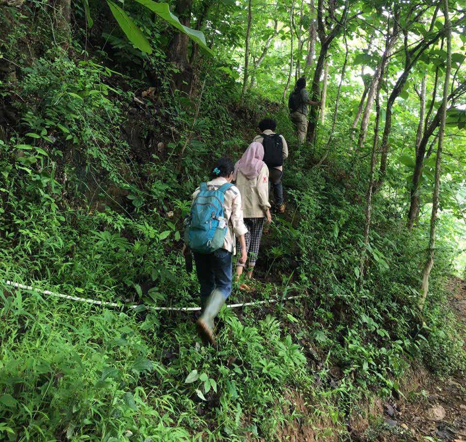
In November 2020, I and my six friends were given the opportunity to perform “Field Experience” in the form of bentonite exploration activity in Tamanasri Village, Pringkuku Subdistrict, Pacitan Regency, East Java Province. Pacitan Regency was 210 km away from Surabaya city and it took about four hours of driving from Surabaya city to get there. Tamanasri Village was one out of 8 villages in Pringkuku Subdistrict, located 8 km east of subdistrict town. Tamanasri Village was about 1083 Ha in size, while the mining area where we performed the exploration was about 148.78 Ha or 15 percent of the Tamanasri Village size. The mining area was a mining land under individual Mining Business Permit (IUP). The terrain was full of ravine, farm, forest and settlement, serving as constraint on our exploration in the rainy season. Consequently, while sampling, we often must work in heavy rain and act carefully so as not to slip. Performing the exploration activity in the IUP area, mobilization could be performed using motor vehicle, but this was inapplicable to all sampling points since some points did not have motor vehicle access, making us to get there on foot.
Based on the result of research conducted by H. Samodra, S, Gafoer, Tjokrosaputro, et al. (1992), it is known that the history of sedimentation of Pacitan Regency area varies, from the sea to the land, from Oligocene to Pleistocene epochs, geologically composed by Arjosari Formation, Mandalika Formation, Wuni For
Advertisement
Terra Mahitala Hikmah Daluas 12117072
Pacitan Regency and its surrounding areas are regionally the transitional zone between subduction path of the Epoch of Limestone with Tertiary Period (Purwanto, 1997). The structures developed in Pacitan and surrounding areas are fold, fault and joint (Sampurna, 1997). The faults in Pacitan and surrounding areas are generally normal fault and slip fault. Slip faults are generally northwestsouthwestward and northeastsouthwestward. The northeastsouthwestward fault is horizontally leftward, while the northwestsouthwestward fault is horizontally rightward (Sudrajat, 1993). Thus, based on the structural pattern developed in Pacitan area, they are generally northsouthward and southeastnorthwestward. Pacitan Regency area is generally composed of clastic sedimentary rocks, volcanic rocks, and intrusive rocks (Samodra et al., 1992). The IUP area where we performed the exploration activity was in the Jaten Formation and Arjosari Formation and passed by Pucunglangan Fault. The Jaten Formation consists of lithology of quartz sandstone, claystone, carbonate claystone, coal, and thin layer of lime sandstone. Meanwhile, the Arjosari Formation consists of conglomerate of various materials, such as sandstone, siltstone/ limestone, claystone, sandy marl, sandstone with pumice stone, inserted with volcanic breccia, lava and tuff. With regard to the age of each formation, Jaten Formation is of upper Early Miocene epoch, while the Arjosari Formation is of oligomiocene epoch.
The purpose of exploration activity in the “Field Experience” was for bentonite mapping. Bentonite is classified into smectite-montmorillonite group, where montmorillonite is originated from plastic clay type found in 1847 in Montmorillonite, France. Bentonite is clay with high plastic and colloidal properties with main mineral content of smectite (montmorillonite) with content of 8595%. Smectite’s theoretical formula is (OH)4SigAI4O20nH2O, with composition SiO2 66,79%, AI2O3 28,3 % and H2O 5 %. Commercially, there are two types of bentonite, namely calcium bentonite and sodium bentonite. Calcium bentonite is used as absorbent material, cooking oil bleach, molding sand adhesive in steel casting process, as catalyst in chemical industry, feeder, etc. Sodium bentonite can be used as drilling mud in oil, gas and geothermal drilling, cement mixture, leaking dam sealing material, etc.


