78 The Future of Water in African Cities
Figure 3.7 (continued)
Source: World Bank. Note: Maps available for download from the Website: http://water.worldbank.org/AfricaIUWM.
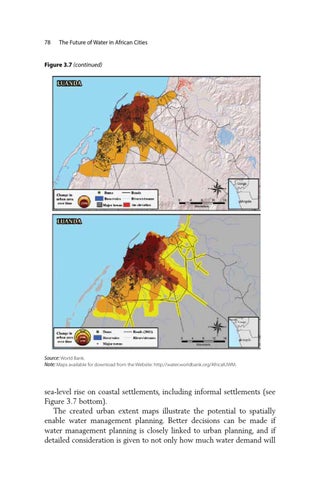
sea-level rise on coastal settlements, including informal settlements (see Figure 3.7 bottom). The created urban extent maps illustrate the potential to spatially enable water management planning. Better decisions can be made if water management planning is closely linked to urban planning, and if detailed consideration is given to not only how much water demand will