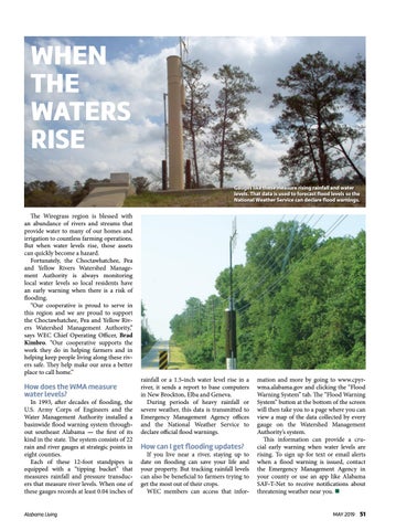
WHEN THE WATERS RISE Gauges like these measure rising rainfall and water levels. That data is used to forecast flood levels so the National Weather Service can declare flood warnings.
The Wiregrass region is blessed with an abundance of rivers and streams that provide water to many of our homes and irrigation to countless farming operations. But when water levels rise, those assets can quickly become a hazard. Fortunately, the Choctawhatchee, Pea and Yellow Rivers Watershed Management Authority is always monitoring local water levels so local residents have an early warning when there is a risk of flooding. “Our cooperative is proud to serve in this region and we are proud to support the Choctawhatchee, Pea and Yellow Rivers Watershed Management Authority,” says WEC Chief Operating Officer, Brad Kimbro. “Our cooperative supports the work they do in helping farmers and in helping keep people living along these rivers safe. They help make our area a better place to call home.”
How does the WMA measure water levels?
In 1993, after decades of flooding, the U.S. Army Corps of Engineers and the Water Management Authority installed a basinwide flood warning system throughout southeast Alabama — the first of its kind in the state. The system consists of 22 rain and river gauges at strategic points in eight counties. Each of these 12-foot standpipes is equipped with a “tipping bucket” that measures rainfall and pressure transducers that measure river levels. When one of these gauges records at least 0.04 inches of Alabama Living
rainfall or a 1.5-inch water level rise in a river, it sends a report to base computers in New Brockton, Elba and Geneva. During periods of heavy rainfall or severe weather, this data is transmitted to Emergency Management Agency offices and the National Weather Service to declare official flood warnings.
How can I get flooding updates?
If you live near a river, staying up to date on flooding can save your life and your property. But tracking rainfall levels can also be beneficial to farmers trying to get the most out of their crops. WEC members can access that infor-
mation and more by going to www.cpyrwma.alabama.gov and clicking the “Flood Warning System” tab. The “Flood Warning System” button at the bottom of the screen will then take you to a page where you can view a map of the data collected by every gauge on the Watershed Management Authority’s system. This information can provide a crucial early warning when water levels are rising. To sign up for text or email alerts when a flood warning is issued, contact the Emergency Management Agency in your county or use an app like Alabama SAF-T-Net to receive notifications about threatening weather near you. n MAY 2019 51


