1 minute read
Mt Hobson Walk- for 360 degree city views


Mount Hobson short walk is a 0.8 km 20 minute out and back track just a short walk from the Remuera Shopping Centre and is one of Auckland’s most wellpreserved volcanic cones

Advertisement
From the walk there are many scenic views and is good for all skill levels. The trail is primarily used for hiking, walking, and nature trips.
Formed some 25,000 years ago, Mt Hobson is 143 m high and the expansive, panoramic view of Auckland from the summit is well worth the walk.
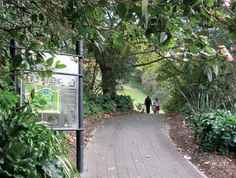
Enter the pathway to the summit from Remuera Road. In Springtime the lower field along the path is filled with jonquils, commemorating the Remuera boys who lost their lives in WWII.
.Further up, terraces and kumara pits are still evident from the Maori occupation of Mt Hobson in preEuropean days.
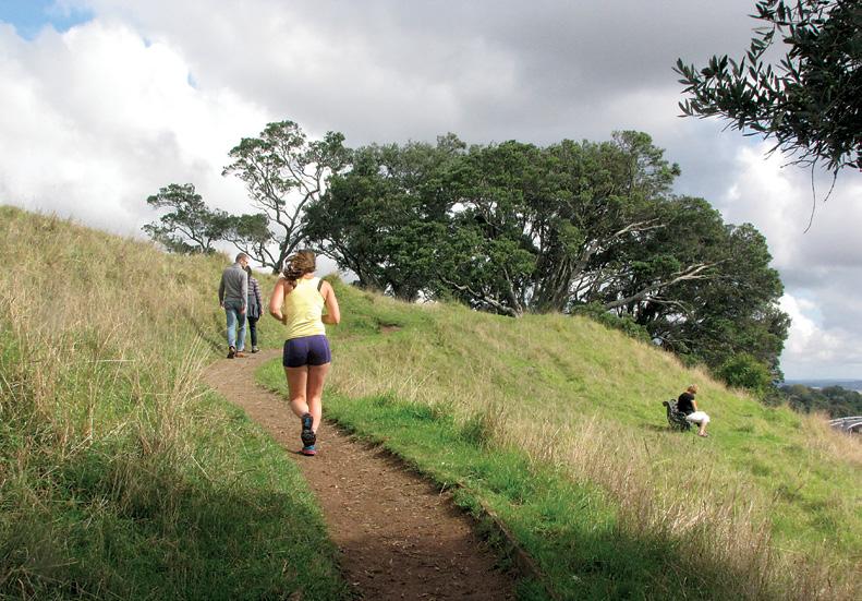
From the summit you can enjoy an uninterrupted 360 degree views of Auckland City, the Waitemata Harbour and Rangitoto Island. Kids will enjoy this walk too, as Mt Hobson is also a working farm with cattle grazing nearby.

It is good quick walk for visitors as well as locals to see panoramic views of the city without needing to hike for a long time.
Fact file
The initial ascent (from the entrance way at the bend in Pere Street) is very steep and not a formed path, so for those with knee issues should begin at the top of Pere Street. There is limited parking on Pere Street, more on Remuera Road, but easily walked to from the Newmarket Train Station. There are well maintained seats strategically placed along the way for enjoying the view.
Distance: 0.8 km: Elevation Gain: 54 m: Route Type: Out and back
History
Mount Hobson ( Remuwera in Māori) is a 143 m high volcanic cone in the Auckland Volcanic Field in Auckland

Located in the Remuera suburb, to the east of the Newmarket commercial suburb, it has been extensively modified by human use, first by Māori for use as a Pā (fortification) and later by use as quarry and pasture land before finally having a water reservoir installed in its cone to supply the surrounding area.

An additional, partially buried, water reservoir was built on the low southern side of the mountain in 1955.
Mt Hobson is named after Captain William Hobson who was the first Governor of New Zealand and coauthor of the Treaty of Waitangi.
Above: Looking out toward Rangitoto.
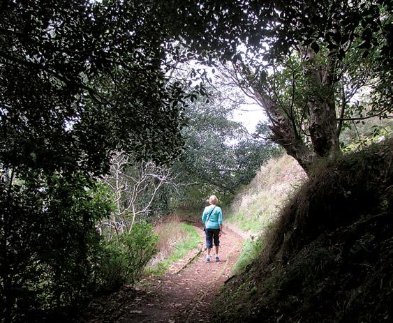
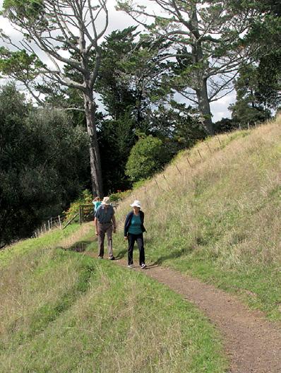
Below and middle left: The track is popular with locals and tourists.


