
4 minute read
Death Valley National Park


Featuring the hottest, driest and lowest area on the North American continent, Death Valley National Park is a land of extremes east of the Sierra Nevada, straddling the California–Nevada border in the northern Mojave. Situated in part below sea level, a series of Native American groups inhabited the area as early as 7000 B.C., most recently the Timbisha around 1000 A.D. Then, in 1849, a group of European Americans got trapped in the valley while seeking a fateful shortcut to California’s gold fields, giving the valley its name.
Shaped largely by geology, its oldest, extensively metamorphosed rocks are believed to date back at least 1.7 billion years. Home to a maar volcano — Ubehebe Crater — Death Valley also features shifting sand dunes, mysteriouslooking salt flats, colorful badlands and snow-covered peaks, the tallest of them Telescope Peak at 11,049 feet. The park’s lowest point, Badwater Basin, is 282 feet below sea level.
The Flora and Fauna
Despite its drought conditions, the starkly beautiful park harbors 1,000 or more plant species, including ancient bristlecone pines and an array of vibrant spring wildflowers. Standouts include desert marigolds, Eureka Dunes evening primroses and grape soda lupines, their hue just like the name suggests. Not surprisingly, cacti and succulents are plentiful here as well. There are a few Joshua trees in the pinyonjuniper woodlands, too.
Impressively, many wildlife species have adapted to the harsh conditions — you may glimpse desert bighorn sheep, kangaroo rats, desert tortoises, jackrabbits and coyotes. Bats and butterflies inhabit the area as well, along with a variety of migrating and nesting birds.
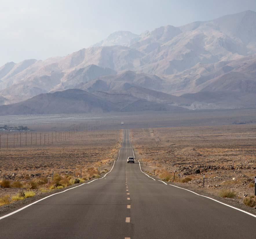
The Weather
Christoph Krichenbauer
A hot desert climate, Death Valley’s temperature was once recorded at 134 F — the highest ambient air temperature ever clocked on the Earth’s surface. Let’s be real though: Typical summer temperatures aren’t that far off, frequently topping 120 F and dropping only to the 90s F at night. And rainfall? It averages — wait for it — 2.2 inches per year. Naturally, higher elevations are cooler than those in the valley — albeit slightly.
Sunny skies are the norm in Death Valley. However, winter storms and summer monsoons have the potential to usher in clouds and rain. Wind is frequent, particularly in spring, and sudden dust storms can appear when cold fronts approach. November through March are the most pleasant months here, when average highs range from 67 F to 82 F.
The Hikes, Drives and Viewpoints
Mesquite Flat Sand Dunes
A two-mile hike through the Mesquite Flat Sand Dunes is not to be missed — it’s a fascinating counterpoint to Darwin Falls, a lush oasis reached through a dusty canyon.
Artists Drive
Nine-mile Artists Drive journeys through multicolored, eroded hills, which you can stop and soak in from panoramic viewpoints.
Golden Canyon And Gower Gulch Loop Via Zabriskie Point
The nearly six-mile trek through Golden Canyon and the Gower Gulch Loop via Zabriskie Point features some of Death Valley’s most unforgettable scenery — badlands; tall, dry falls; and canyon walls made of red mudstone and colorful mosaic conglomerates.
Natural Bridge Canyon Trail
For an easier, two-mile, out-and-back hike, the Natural Bridge Canyon Trail is a must. You’ll not only see a natural bridge, but dry falls as well.
Badwater Salt Flats
The most ethereal of park experiences is a visit to the Badwater Salt Flats in Badwater Basin. Take the boardwalk to the edge of the salt bed; then, step out onto the hexagonshaped crystals, taking care to avoid their breakable “borders.”

Getty
About the Park
Location - Straddles eastern California and Nevada
Established - October 31, 1994
Area - 3 million-plus acres


