3 minute read
Pinnacles National Park


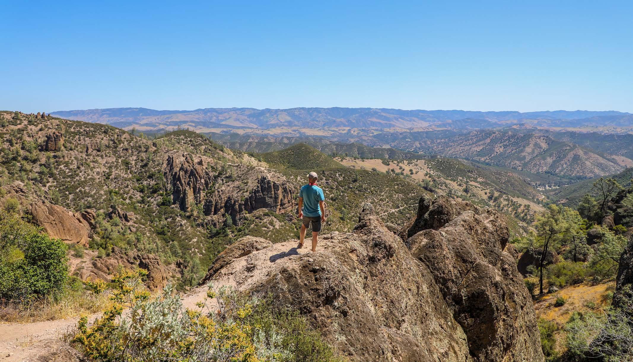
Located east of California’s Salinas Valley in Central California, mountainous Pinnacles National Park is divided into east and west districts, linked by more than 30 miles of trails. Offering gorgeous vistas, the rock formations at Pinnacles are popular with technical climbers and are the product of an ancient volcanic eruption some 23 million years ago. Spanning 26,000 acres of diverse wildlands, its colossal monoliths, spindly spires, talus caves and sheer-walled canyons reveal millions of years of erosion, faulting and movement of tectonic plates.
The Flora and Fauna
Journey past towering rock spires and through chaparral, oak woodlands, rare talus caves and canyon bottoms at this dynamic destination. Watch golden eagles, falcon sand California condors soar overhead. Then, perhaps see sensitive species like the Pinnacles shield-back katydid, bigeared kangaroo rat, California horned lizard, Gabilan slender salamander or Pinnacles riffle beetle on the ground. Listen, too, to the croak of red-legged frogs.
Despite its dry climate, there is a notable range of plant life in the park. Covered extensively with shrubby chaparral, Pinnacles also contains blue oak woodland; riparian habits on valley bottoms and in moist canyons; vast grasslands; and areas of iconic rock and scree. Time your visit from March through May and you may see spring wildflowers.
The Weather
Set several miles inland from the Pacific Ocean, Pinnacles features a Mediterranean climate with hot, dry summers and mild winters with moderate precipitation. It’s common for daytime temperatures in July and August to hover above 100 F. On the other end of the spectrum, subfreezing, overnight winter temperatures do occur. As a result, spring and fall are the most pleasant times to visit and hike.
Be sure to watch for weather, trail and route updates on the park’s website.
The Hikes, Drives and Viewpoints
All but hidden in plain sight, Pinnacles is two hours from the Bay and three hours from Sacramento. It has two entrances, which are not connected by roads. Note that the park’s western side is more remote than the eastern side.
Condor Gulch Trail
For a real workout, the difficult, 5.5-mile Condor Gulch Trail to the High Peaks Trail loop is essential. Beginning at the Bear Gulch Visitor’s Center, it takes you past magnificent rock formations and spikey spires; through a tunnel carved in rock; and up switchbacks for incredible views of the protected land below.
High Peaks & Balconies Cave Loop Trail
Hike the park’s highs and lows on the challenging High Peaks and Balconies Cave Loop Trail, a 9.5-mile heart-thumper through Pinnacles’ striking terrain. Start at the Old Pinnacles Trailhead (at the east entrance) or Chaparral Trailhead (at the west entrance), passing through a cave, gaining steep elevation and seeing towering rock formations from different vantage points. Be on the lookout for condors and other raptors in the sky.
Getty
Moses Spring & Rim Trail
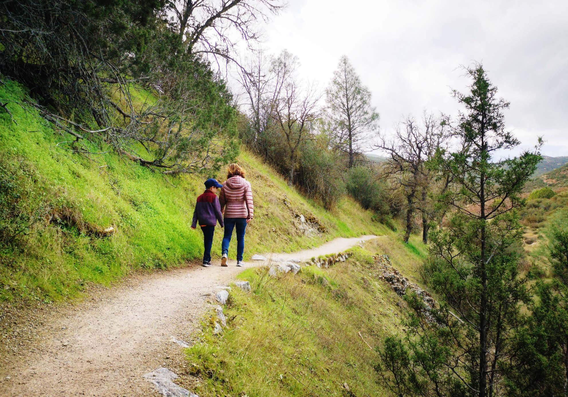
Marvel at massive rock formations, talus caves and a tranquil reservoir along the moderate, family-friendly 2.5-mile Moses Spring and Rim Trail loop near the town of Paicines.
About the Park
Location - Northern California, north of Sacramento
Established - January 10, 2013
Area - 106,452 acres


