3 minute read
Big Bend National Park
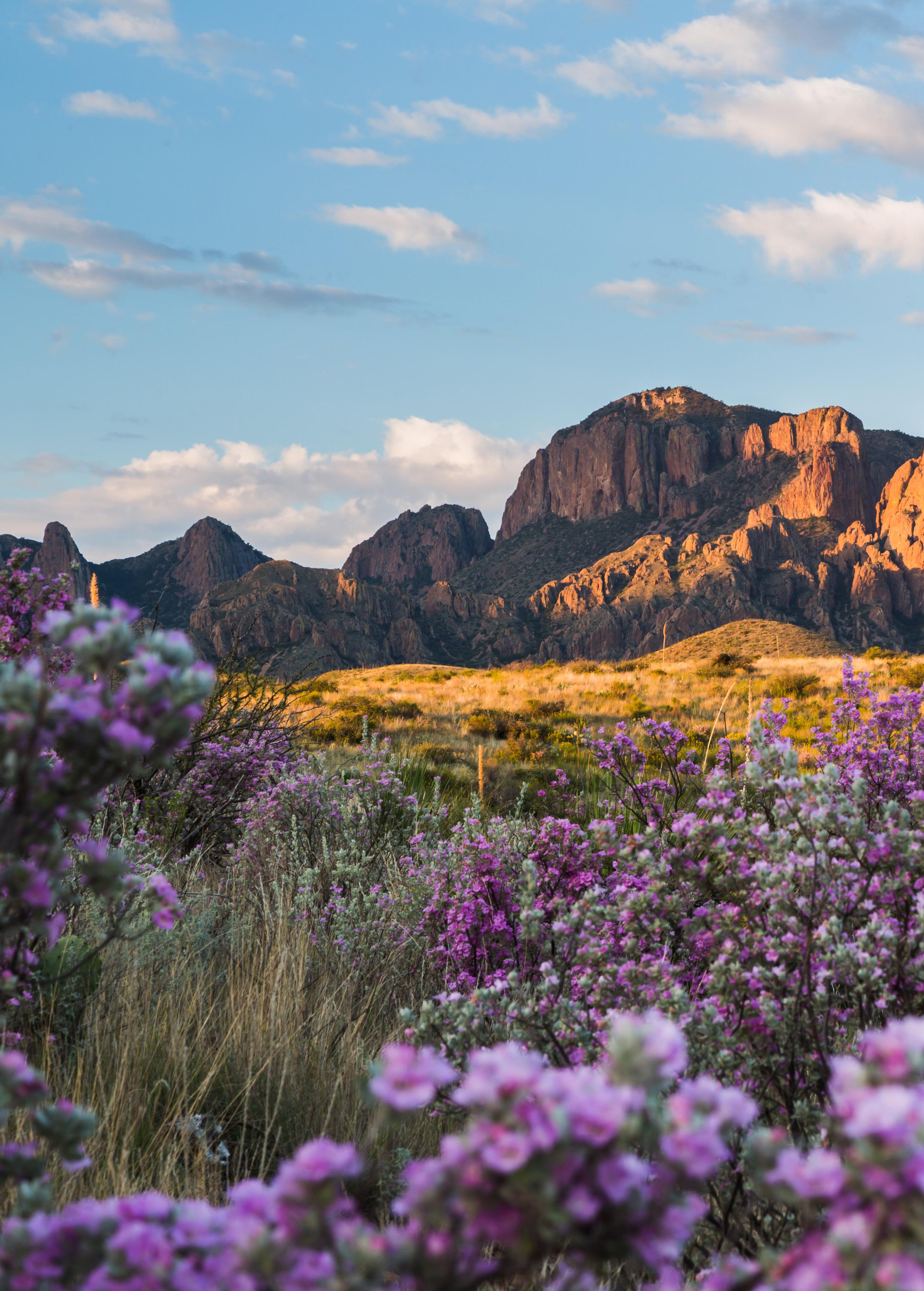
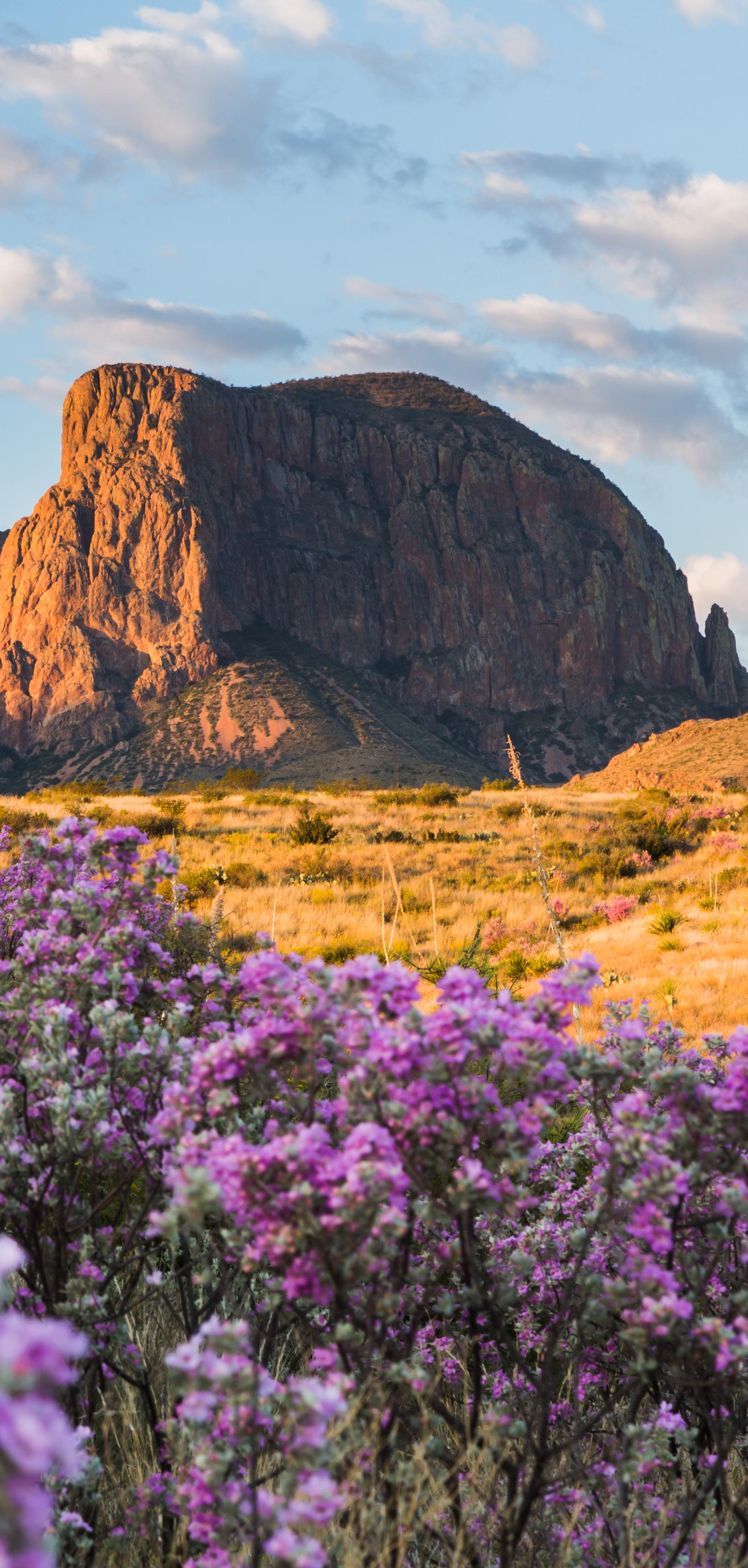
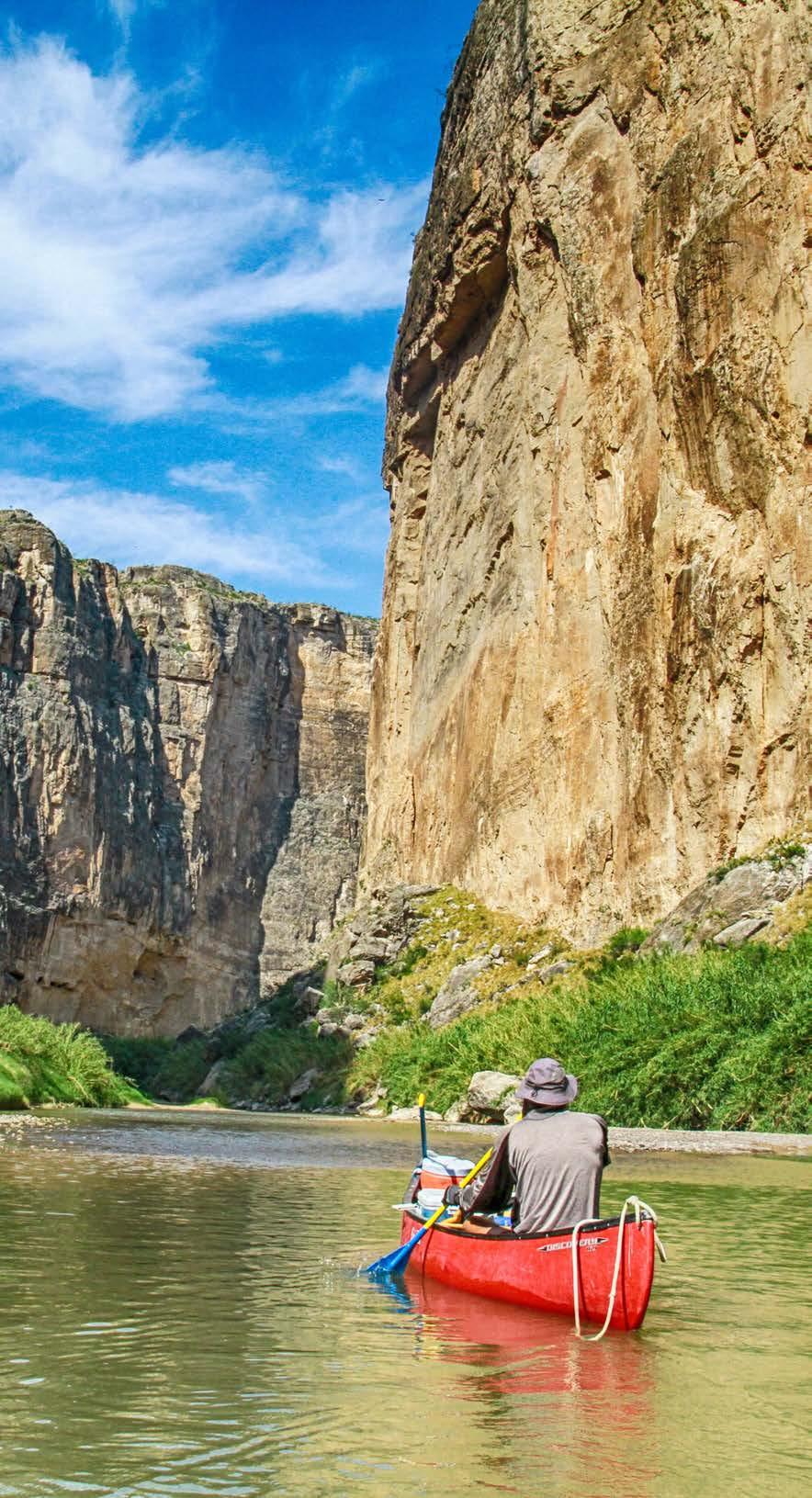
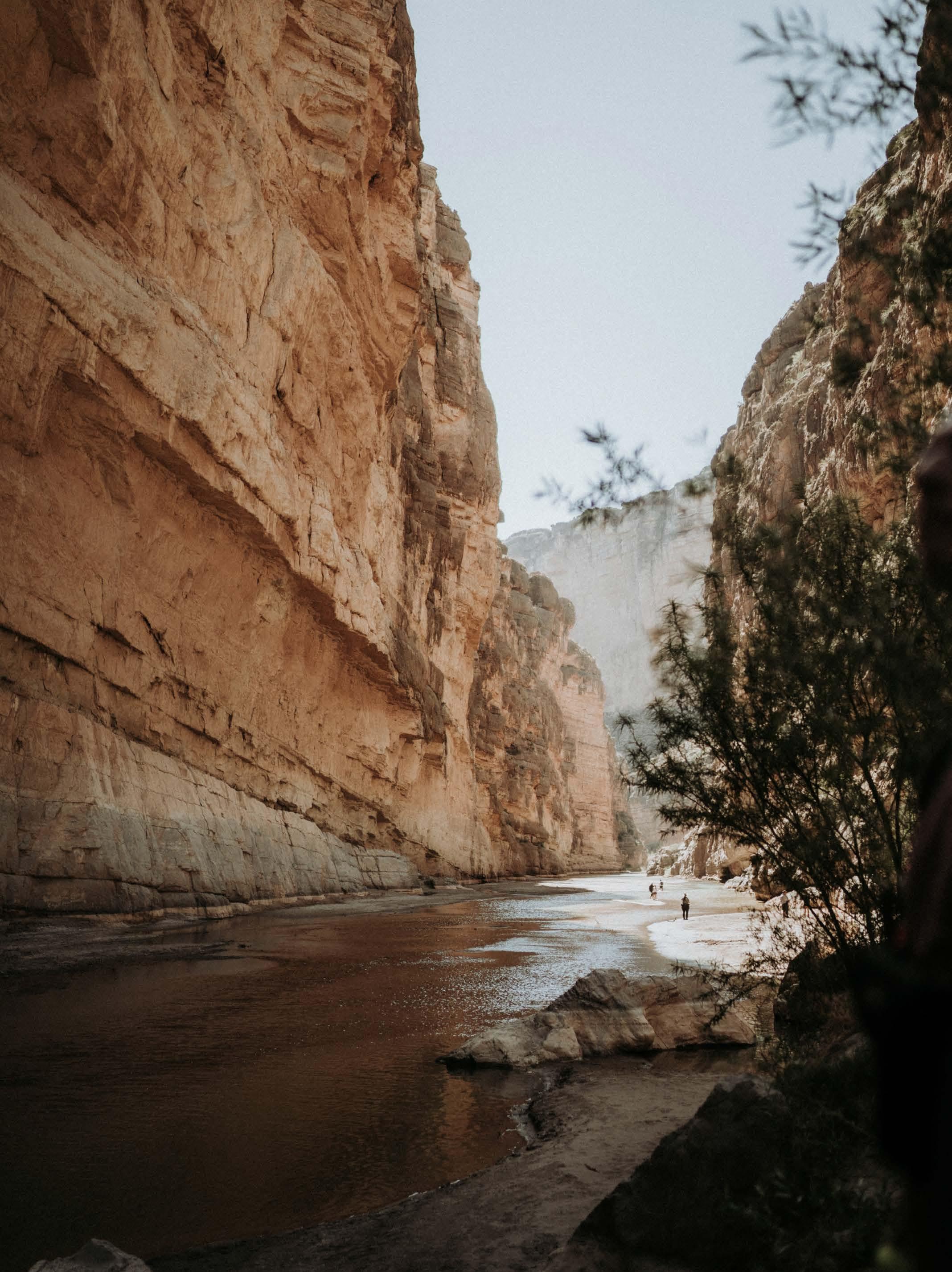
Located in far southwest Texas, Big Bend National Park is a geological marvel that encompasses the entirety of the Chisos mountain range and a sweeping portion of the Chihuahuan Desert. Featuring canyons carved in ancient limestone and a meandering river corridor, its history comes to light through excavated dinosaur bones, as well as sea fossils and volcanic dikes.
Pictographs and archaeological sites reveal native peoples lived and passed through here for thousands of years, from the Paleo-Indian period to the Early Archaic, Middle Archaic, Late Archaic and Late Prehistoric. Spanish explorers later established a series of forts along the Rio Grande. By the time Anglo settlers began arriving in the 1800s, Mexican families who had occupied the area since the late 1700s were farming the Rio Grande’s floodplains. From ranchers who migrated into Big Bend to raise livestock in the 1800s to miners and the Civilian Conservation Corps, many have left their mark.
Take time to visit the park’s sites and ruins — which include old buildings and the remnants of past settlements — as they illuminate the story of this amazing park.
The Flora And Fauna
The three great North American mountain-building episodes are found within park boundaries: Marine sedimentary rocks, continental sedimentary rocks and volcanic rocks. Speaking of rocks, 130 million years of life are preserved in Big Bend’s.
Fabled for its natural resources and spectacular geology — it’s one of the most biologically diverse arid regions in the world — Big Bend’s diverse habitats support more than 1,200 species of plants, 75 species of mammals, over 400 species of birds, 11 species of amphibians, 56 species of reptiles, 40 species of fish and approximately 3,600 species of insects.
Though rare, superblooms can occur when rain blesses the park in winter. See oaks and sumacs along the Pine Canyon Trail. Hike to an Ice Age forest in the Chisos Mountains. Spot wetland plants at Rio Grande Village.

In this unforgettable place, you may glimpse black bears, perhaps in a Texas madrone; hoofed, pig-like collared peccaries; and slinking bobcats. While you might not expect such a diverse population of birds, Big Bend rests along a significant migration route, given its southern U.S. latitude and proximity to Mexico, as well as the fact that there are springs or oases, which support a diversity of habitats. There are even a whopping 22 kinds of lizards found here.
The Weather
Higher mountain elevations see temperatures that average 5–10 F degrees cooler during the day and 0-5 F degrees cooler at night, while the reverse is true of the lower desert and river corridor.
The sun shines bright most of the year. Spring is the park’s busiest season, when the weather is warm and pleasant. Summers are hot, with temperatures that vary significantly along the desert floor, easily reaching 100 F. Meanwhile, the rainy season occurs from May through September, a time when heavy thunderstorms can cause flash flooding. While snow is rare and typically light, fall and winter tend to meld together, with pleasant, mild temperatures, though periods of clouds and freezing cold do occur.
Be sure to dress for the weather and watch conditions on the park’s website.
THE HIKES, DRIVES AND VIEWPOINTS
Lost Mine Trail
The 4.8-mile Lost Mine Trail offers a great introduction to the flora and fauna of the Chisos Mountains. Gaining an elevation of 1,100 feet, trek through a woodland-grassland ecosystem and take in some of the park’s most scenic views of the surrounding mountains and desert.
Windows Trail
Starting near Chisos Basin Lodge, the easy, staggering, 5.2mile Windows Trail follows Oak Creek, taking you from desert to alpine forest to rock walls and the Window pour-off for panoramas of the varied terrain.
SANTA ELENA CANYON TRAIL
An easy option, the 1.4-mile, out-and-back Santa Elena Canyon Trail starts at Ross Maxwell Scenic Drive, meandering to the mouth of stunning Santa Elena Canyon, crossing Terlingua Creek before ascending on paved steps to a vista and descending again to the water’s edge.

EMORY PEAK VIA SOUTH RIM TRAIL
Get a breathtaking, 360-degree view on the 15.2-mile, challenging-but-rewarding Emory Peak via South Rim Trail and Boot Springs Trail. Gaining 2,700 feet, it takes you to the highest point in the park at 7,825 feet.
GRAPEVINE HILLS TRAIL
Another easy choice is the 2-mile out-and-back Grapevine Hills Trail, which passes through a small valley before climbing the steep headwall of the valley, veering southwest along a ridge to Balanced Rock, a formation that resembles stacked blocks.
ROSS MAXWELL SCENIC DRIVE
Bringing you to the Castolon Historic District and Santa Elena
Canyon, Ross Maxwell Scenic Drive reveals the ruins of Sam Nail Ranch, Rio Grande-carved Santa Elena Canyon with its steep limestone cliffs, and Langford Hot Springs, near the Mexican border, where you can view pictographs and the remains of an old bathhouse.
About The Park Location
Southwest Texas, spanning the entire Chisos mountain range
ESTABLISHED
June 12, 1935
AREA 801,163 acres


