2 minute read
Bryce Canyon National Park
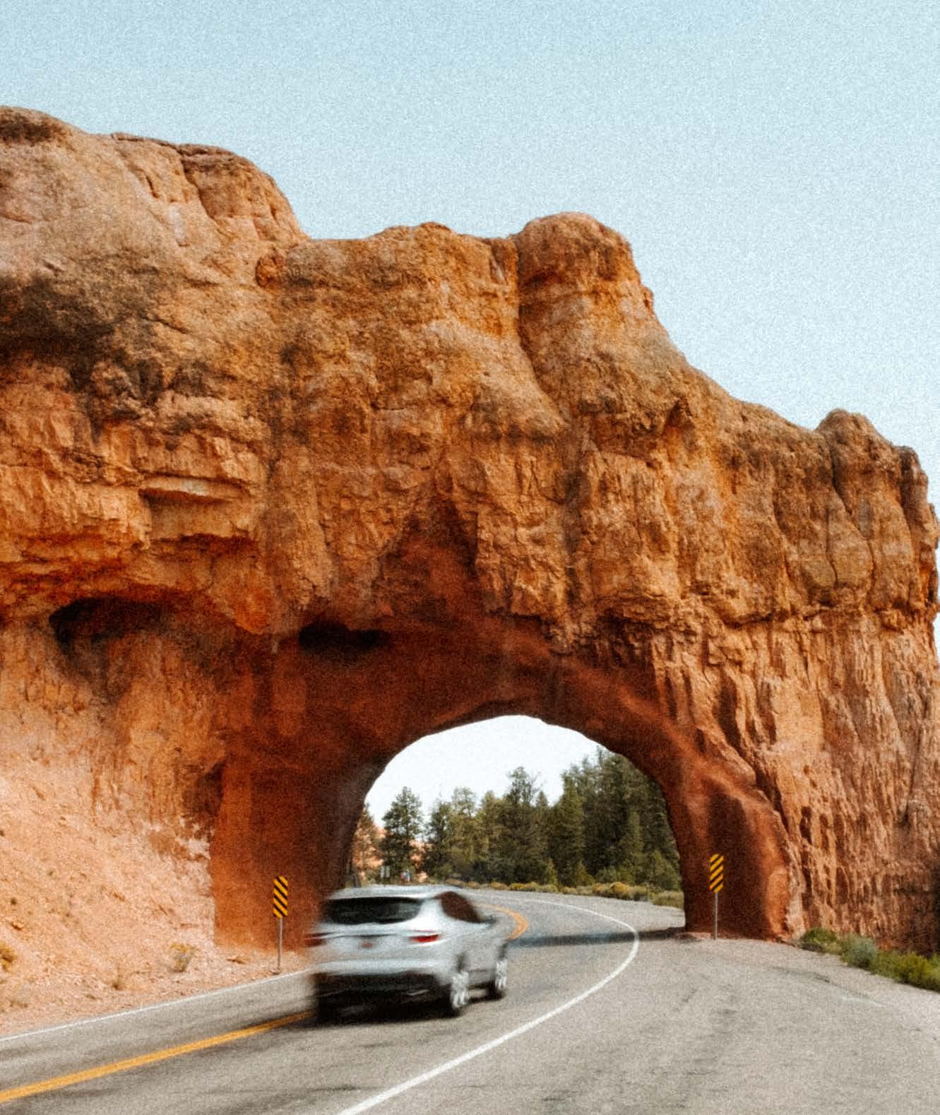
A sprawling land of pink cliffs and red-hued hoodoos — tall, spindly, irregular rock spires — Bryce Canyon National Park is a memorable reserve in southwestern Utah, close to Zion National Park. Its claim to fame, Bryce contains the greatest concentration of these sandcastle-like, geological wonders on Earth. Punctuated by stands of evergreen forest, the highaltitude park sits at the eastern edge of an 18-mile plateau.
Beyond the soft sandstone and limestone hoodoos, find jutted fins and massive amphitheaters spiked with the park’s iconic, crimson features. Part of the Grand Staircase — an astounding, colorful sequence of sedimentary rock layers that stretch 100 miles from the park through Zion National Park and into the Grand Canyon — Bryce is a place of astounding beauty.
The Flora And Fauna
Featuring an arid climate, the park boasts three distinct climatic zones: spruce/fir forest, ponderosa pine forest and pinyon/juniper forest that host pronghorn, mountain lions and mule deer. The park is also home to the Utah prairie dog, a documented 175 species of birds and reptiles — like the poisonous Great Basin rattlesnake and side-botched lizard — all of which are amenable to the harsh conditions.
Surrounded by desert, it’s a surprisingly verdant locale, where exposed pink cliffs sprout with wildflowers from “breaks” in the rock. Meadows, seeps and springs further harbor grassy and deciduous plant life, including sagebrush and rabbitbrush.
The Weather
Given its high elevation, weather throughout the year can vary considerably. It’s not unusual for snowstorms to hit in October, though they’re offset by sunny, temperate autumn days. From October through May, expect nighttime temperatures below freezing. The coldest, snowiest months occur December through February, though spring storms in March and April still have the potential to produce heavy snowfall. June through September are pleasant months, with frequent — but short — afternoon downpours during the park’s rainy season (July and August).
Check the park website for park, road and trail conditions.
THE HIKES, DRIVES AND VIEWPOINTS
QUEEN’S GARDEN TRAIL
The most popular hike in the park, the 2.9-mile Queen’s Garden Trail and Navajo Loop starts at Sunrise Point, navigating the winding Rim Trail down into the valley floor, through arches carved into rocks, and amid spires. As you meander along, take a quick detour to view Queen’s Garden proper before heading back up at Sunset Point, either via the Wall Street Trail or Two Bridges Trail, both featuring a set of switchbacks that bring you back upward.
Sunrise Point To Sunset Point
Quick, easy and a must-see is the 1.1mile, out-and-back hike from Sunrise Point to Sunset Point. Running along part of the Rim Trail, it encircles the top of the canyon, looking out over the burnt orange, spiky Bryce Amphitheater.

QUEEN’S GARDEN/ NAVAJO LOOP
A less-busy alternative to the Queen’s Garden/Navajo Loop, the strenuous, 5.5-mile Peek-a-Boo Trail descends into the canyon’s depths and through Bryce Amphitheater’s famed hoodoos. It does contain a short, 1,500-foot elevation gain. Combined with the Figure 8 Trail, you can enjoy a more complete exploration of the geologic features.
Inspiration Point
Try to make it to Inspiration Point for sunrise when the hoodoos are positioned to catch the morning light. Accessed from the Rim Trail, the hike consists of three levels (lower, middle and upper), which offer varied, incredible perspectives of the main amphitheater.
Bristlecone Pine Trail
See ancient trees as old as 1,800 years on the Bristlecone Pine Trail, an easy, 1-mile loop that intersects a forest of Douglas fir, white fir and blue spruce, with splendid views over the canyon.
Bryce Canyon Scenic Drive
Get a nice lay of the land with a drive on Bryce Canyon Scenic Drive, offering 13 viewpoints with panoramas of many key park features. Running 18 miles along Highway 63 from Highway 12, from the park entrance in the north to the end of the road at Rainbow at Yovimpa Points, it reaches over 9,110 feet.
ABOUT THE PARK
LOCATION
Southern Utah
ESTABLISHED
February 25, 1928
AREA 35,835 acres


