2 minute read
Saguaro National Park
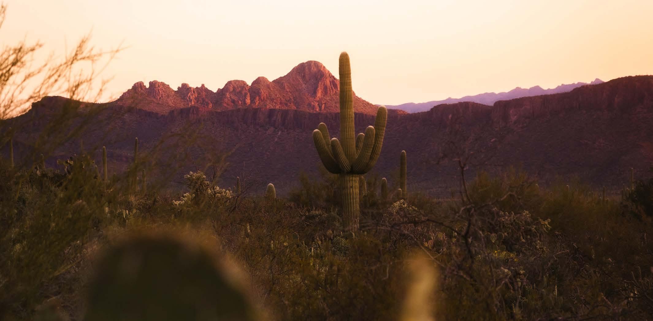
Named for the giant, iconic saguaro (sah-wah-ro) cacti, which dots the Sonoran Desert landscape, Saguaro National Park is situated in southeastern Arizona, its two sections flanking the city of Tucson. The Tucson Mountain District (TMD) resides about 10 miles west of the city, while the Rincon Mountain District (RMD) sits approximately 10 miles east of Tucson.
Its protected status began in 1933, when President Herbert Hoover established Saguaro National Monument in the Rincon Mountains. Then, in 1961, President John F. Kennedy added the Tucson Mountain District to the monument and renamed the original tract the Rincon Mountain District.
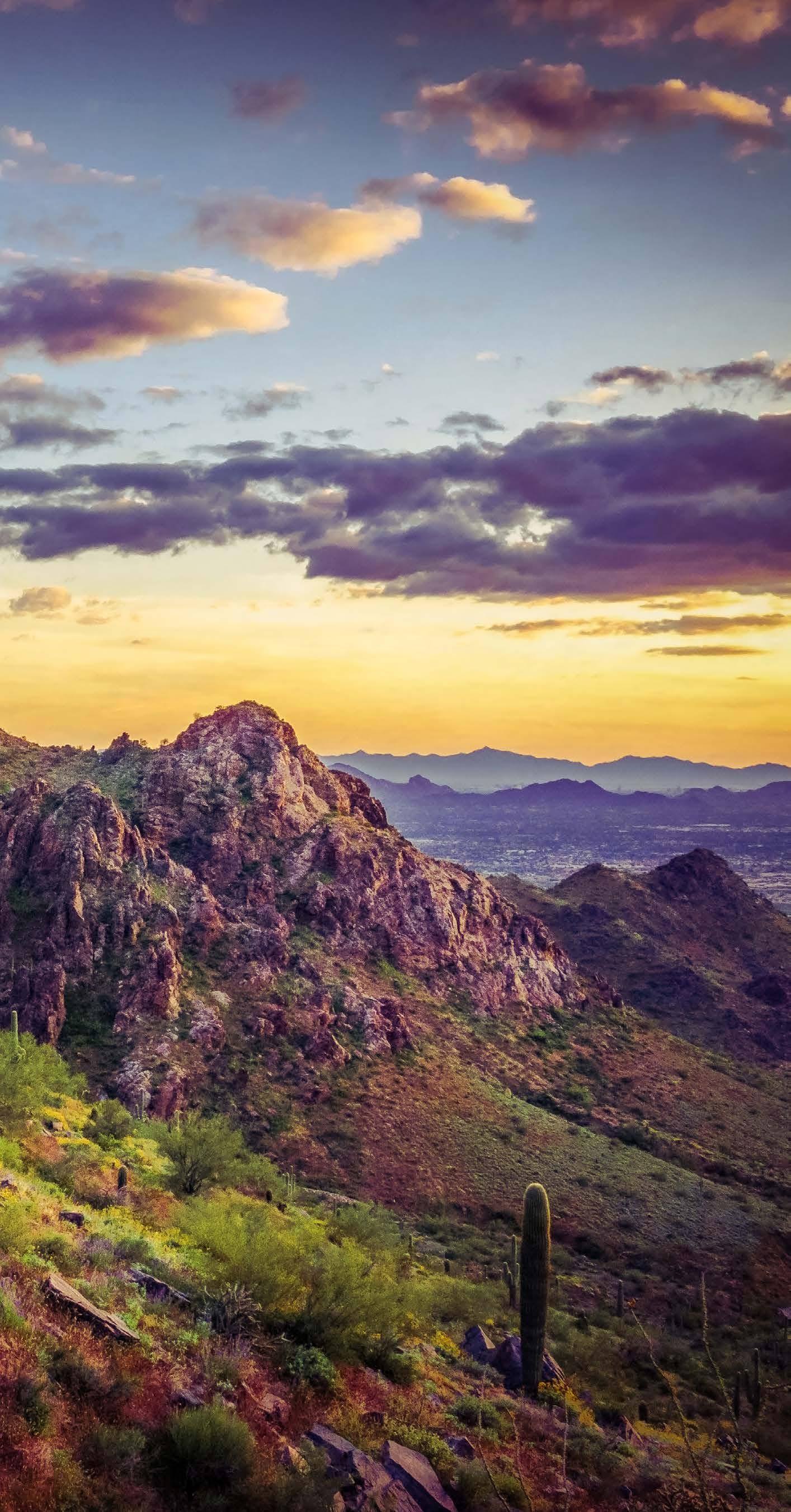
Today, the desert playground remains filled with majestic, ribbed sentinels that all-but-define the American Southwest, coupled with beautiful desert flora that’s particularly lovely — and incredibly colorful — when in bloom.
The Flora And Fauna
Fringing the city of Tucson, with two very distinct sections, this desert park offers more than meets the eye.
The Tucson Mountain District features volcanic rocks, which differ significantly from surface rocks in the uplifted, domed and eroded Rincon Mountain District, which is significantly higher and wetter than its counterpart. The Rincons support great biodiversity, including many plants and animals that do not live in the Tucson Mountain District, with its desert scrub and desert grassland communities, as well as coyotes, Gambel’s quails and desert tortoises.
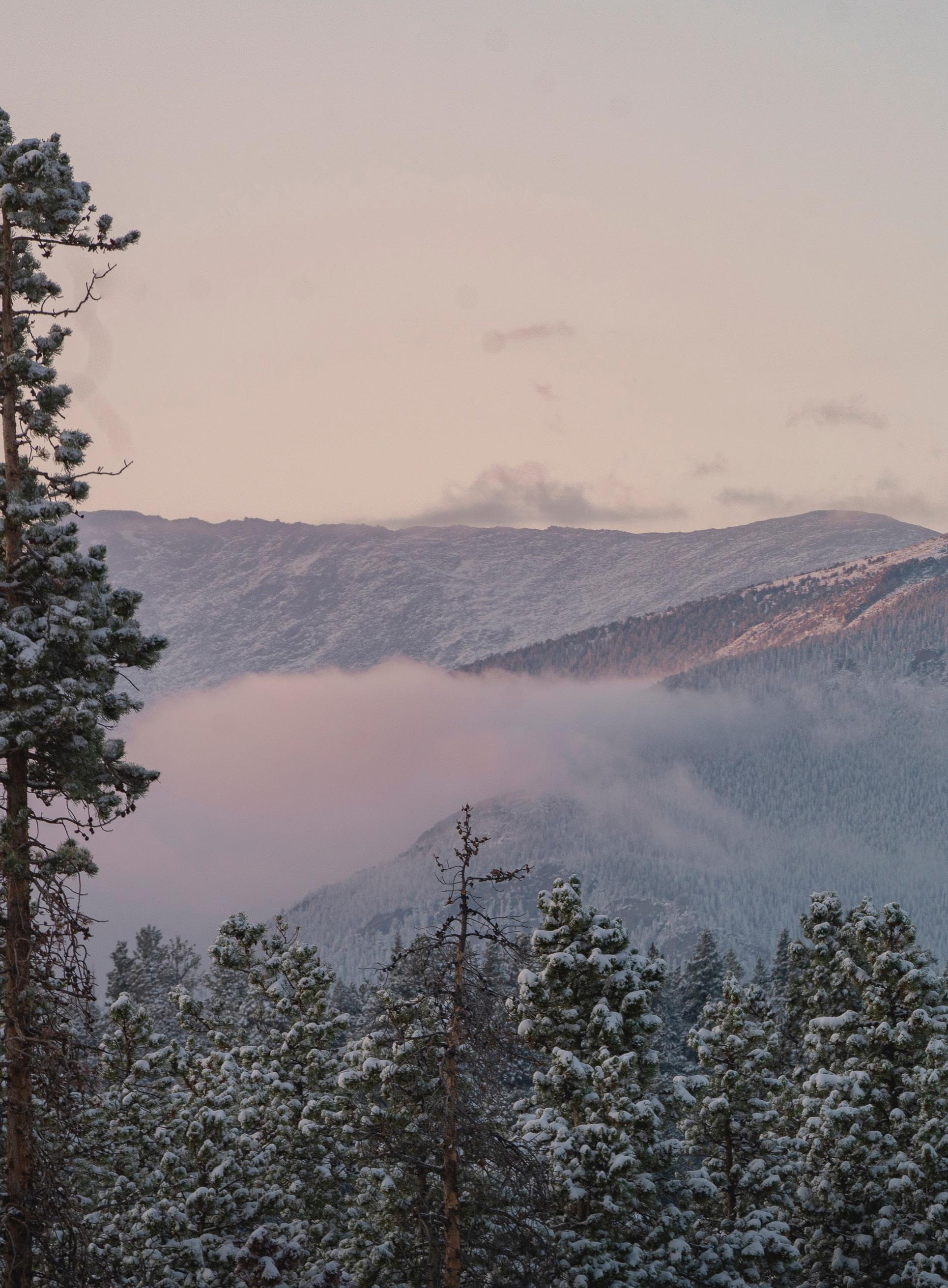
The Tucson Mountains, by contrast, also extend to mixed conifer forest, oak woodland, pine forest and pine-oak woodland, which support everything from black bears to Arizona mountain king snakes, Mexican spotted owls and white-tailed deer.
As focal as the mighty saguaros are, the park has so much more to behold. In fact, it comes alive shortly after rainfalls, when seemingly dead sticks transform into new-leaf-laden shrubs.
The Weather
Summer here is super-hot, with daytime temperatures exceeding 110°F in the shade and nighttime lows around 72°F. Winters are generally mild and warm, ringing in at an average 65°F and comfortably cool nights around 40°F.
Keep abreast of conditions on the park’s website. And do plan on drinking the recommended one gallon — yes, one gallon — of recommended water per person, per day.
THE HIKES, DRIVES AND VIEWPOINTS
Cactus Forest Scenic Loop Drive
When it’s especially hot — or simply just because — meander along the paved, 8-mile Cactus Forest Scenic Loop Drive, a paved road on the east side that’s open to cars and bicycles, with plenty of turnouts and pullouts for photo ops.
Freeman Homestead Trail
Traverse the 1.1-mile Freeman Homestead Trail, a loop that takes you through a grove of imposing saguaros and other beautiful Sonoran scenery, including mesquite, creosote, ocotillo and palo verde trees.

Scenic Bajada Loop Drive
In the western district, 6-mile, graded, dirt Scenic Bajada Loop Drive is not to be missed. Journey through a cactus forest and pause to hike the .5-mile Signal Hill Trail to see a fascinating array of ancient petroglyphs.
Tanque Verde Ridge Trail
A steep, rocky, 20-mile out-and-back beast, the Tanque Verde Ridge Trail climbs to the 8,666-foot summit of Mica Mountain. Note that a backcountry camping permit is required for overnight use.
Valley View Overlook
Want to catch a sunset? The .8-mile Valley View Overlook affords awesome views of incredible Picacho Peak and the city of Tucson.
Desert Discovery Trail
An easy .4-mile loop, the informative Desert Discovery Trail, which is wheelchair accessible, highlights Sonoran Desert ecology against a rugged backdrop of Tucson Mountain peaks.


