5 minute read
Grand Canyon National Park
Located in northwestern Arizona, skirting the Colorado River and adjacent uplands for 277 unforgettable miles, monumental Grand Canyon National Park is known for its soul-stirring vistas, beautifully colored rock layers and fascinating geology. It’s also nearly a mile deep.
However, this singular place holds countless stories of people who have shaped and honored it over the course of more than 10,000 years. There are 11 contemporary tribes that are culturally linked to the area, all with rich oral history and references to the great chasm carved by a relentless river.
From the 16th century on, tribes familiar with the region were guides and informants for Spanish and, later, Euro-American explorers. From Native Americans to miners, entrepreneurs and the “Little Mexico” community that formed on the canyon’s South Rim in 1919, many have left their mark.
Filled with structures, districts, locations and sites listed on the National Register of Historic Places, Grand Canyon National Park is also a UNESCO World Heritage Site and considered one of seven Natural Wonders of the World.

Jared Verdi
The Flora and Fauna
Featuring horizontal strata that retrace the geological history of more than two billion years, the Grand Canyon spans all four eras of Earth’s evolutionary history — from the Precambrian era to the Cenozoic. Its Precambrian and Paleozoic portions are well noted in its canyon walls and animal remains, which extend into the Pleistocene.
Semi-arid with raised plateaus and structural basins common in the Southwestern United States, the Grand Canyon is home to 1,737 known species of vascular plants. It’s also a haven for 64 species of moss, 167 fungi species and 195 kinds of lichen. The park owes its variety to an 8,000-foot change in elevation from the river to its highest point at the North Rim.
You’ll find rarities like sentrymilk vetch, as well as pinyon and ponderosa pines; Utah juniper; bushy rubber rabbitbrush; seep willow near streams and creek beds; pokey cacti and succulents; and a kaleidoscope of wildflowers, including the globe mallow.
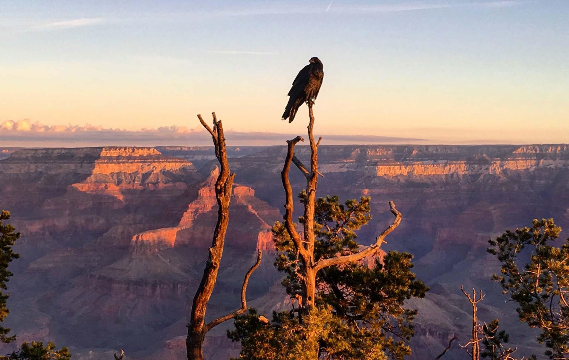
Needless to say, the wildlife population here is equally rich. Beyond 447 known species — including birds, bats and bighorn sheep — you may also spot everything from mountain lions to elk, bison, lizards, snakes, six endemic fish species and an array of amphibians.
The Weather
Huge changes in elevation lead to large differences in temperature and precipitation. It’s coolest and wettest at the North Rim, which rests at 8,297 feet — less than eight miles from Phantom Ranch, one of the driest areas in the park at 2,460 feet. Deep canyons and rugged terrain significantly impact solar heating and air circulation, creating many different microclimates throughout the canyon. As a general rule, the temperatures increase 5.5 F with each 1,000 feet loss in elevation.
Generally speaking, winters are cold, while summers tend to be mild and pleasant with moderate humidity. At the bottom of the canyon, however, summers are hot and dry, and winters are cool and damp. Summer thunderstorms and winter snowfall are occurrences to contend with, too. Be sure to regularly follow weather and road conditions on the park’s website.
The Hikes, Drives and Viewpoints
Yavapai Point And Hopi Point
Catch a sunrise at Yavapai Point and walk along the rim of the canyon, taking in panoramas of the North Rim’s Bright Angel Canyon. Meanwhile, sunsets are especially breathtaking at Hopi Point, as well as Yaki, Yavapai, Lipan, Navajo and Desert View Points.
South Rim Trail
Want to walk the 13-mile paved route along the South Rim Trail? In addition to vistas from Yavapai Point, you’ll be treated to views from Mather Point and Powell Point.
Shoshone Point Trail
A best kept secret in the park, the unmarked, 2.1-mile out-and-back Shoshone Point Trail starts from a small parking lot on the north side of Desert View Drive, east of Yaki Point. Walk down a dirt road through a towering forest where deer and elk graze before reaching expansive canyon views and a narrow ridge that juts out from the plateau. Pro tip: It’s a great spot for a picnic, too.
South Kaibab Trail
Catch the steep, switchback-laden, 2.8-mile South Kaibab Trail to the mule hitching post at Cedar Ridge, south of Yaki Point on Yaki Point Road. You’ll be rewarded with sweeping views along a dramatic ridgeline; the fastest access to the river of any of the Grand Canyon corridor trails; and a 360-degree view from a more central location between the rims. You can also opt to visit Ooh Aah Point halfway to Cedar Ridge, a 1.8-mile trek that takes you 600 feet below the Grand Cayon’s South Rim.
Bright Angel Trail
Descending steeply from the South Rim of the Grand Canyon, it must be said that the 8-mile Bright Angel Trail — arguably the park’s most famous — requires a painstaking, 5,000-foot hike back up endless switchbacks. It’s well worth the effort, though, as it reveals traces of the Havasupai at every turn, the oasis of Indian Garden with its lush

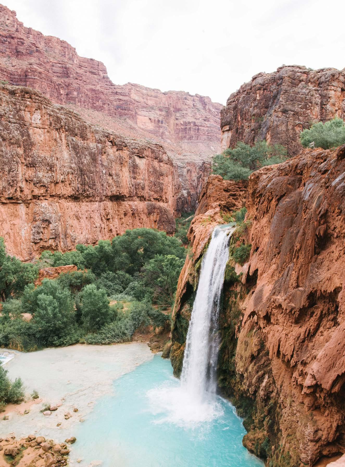
Havasu Falls
Cara Fuller
Desert View Drive
For a scenic drive near Grand Canyon Village, follow the Desert View Drive portion of State Route 64, following the canyon rim for 26 glorious miles, pausing at Pipe Creek Vista, Duck on a Rock, Grandview Point, Lipan Point and Moran Point for incredible views.
Hermit's Road
Closed to vehicles from March through November, Hermit’s Road is a must-drive from December through February en route to Hermit’s Rest. Be sure to stop at The Abyss, which dips 3,000 dramatic feet to the Tonto Platform.

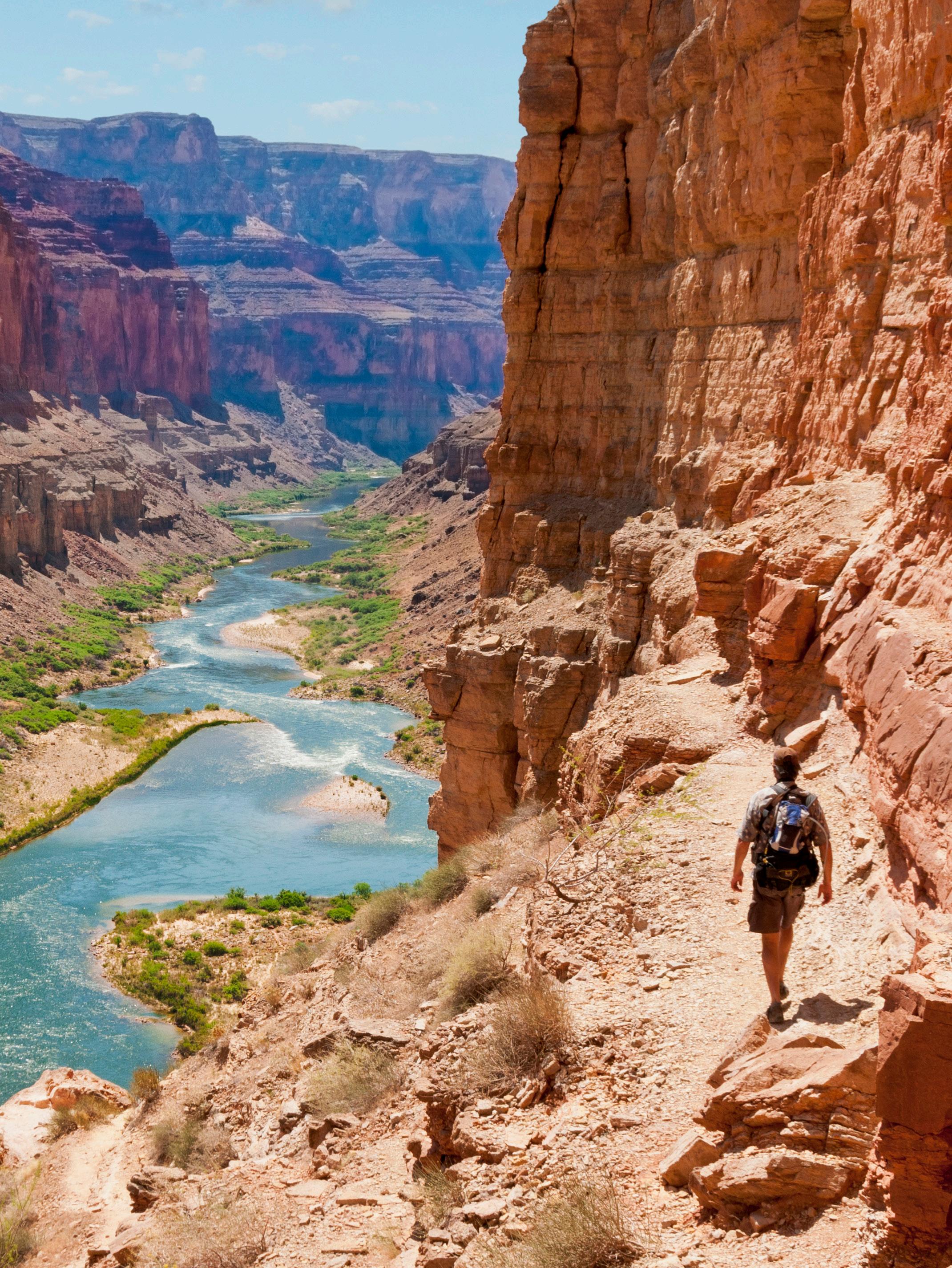
Hike to Puebloean Granaries
Getty
About the Park
Location - Northwest corner of Arizona
Established - February 26, 1919
Area -1,218,375 acres


