1 minute read
Stay Prepared in Isle Royale National Park


When setting out for hikes on the island, it’s extremely important to have the following, as rescue support is limited:
Plenty of drinking water
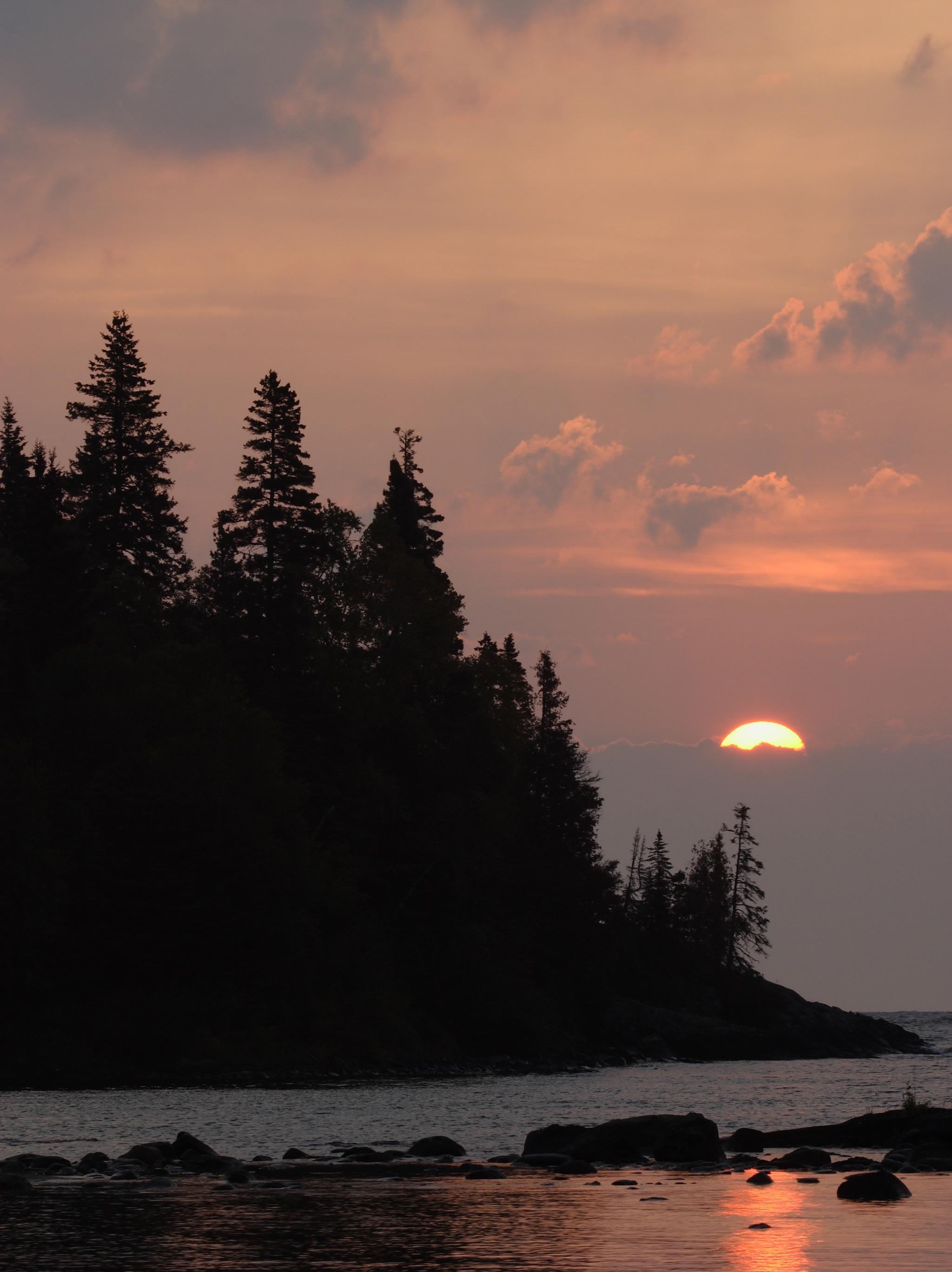
Snacks area between the forest and Lake Superior shoreline.
Greenstone Ridge Trail
Rigorous and lengthy, the point-topoint, 39.5-mile Greenstone Ridge Trail from Windigo to Tobin Harbor is the park’s longest and most varied. It typically takes between four and five days to hike in its entirety. Taking you through dense boreal forest and damp, thigh-high ferns, it travels up and down basalt ridges to the 1,394-foot pinnacle of Mount Desor, with beautiful viewpoints and wildflowers en route.
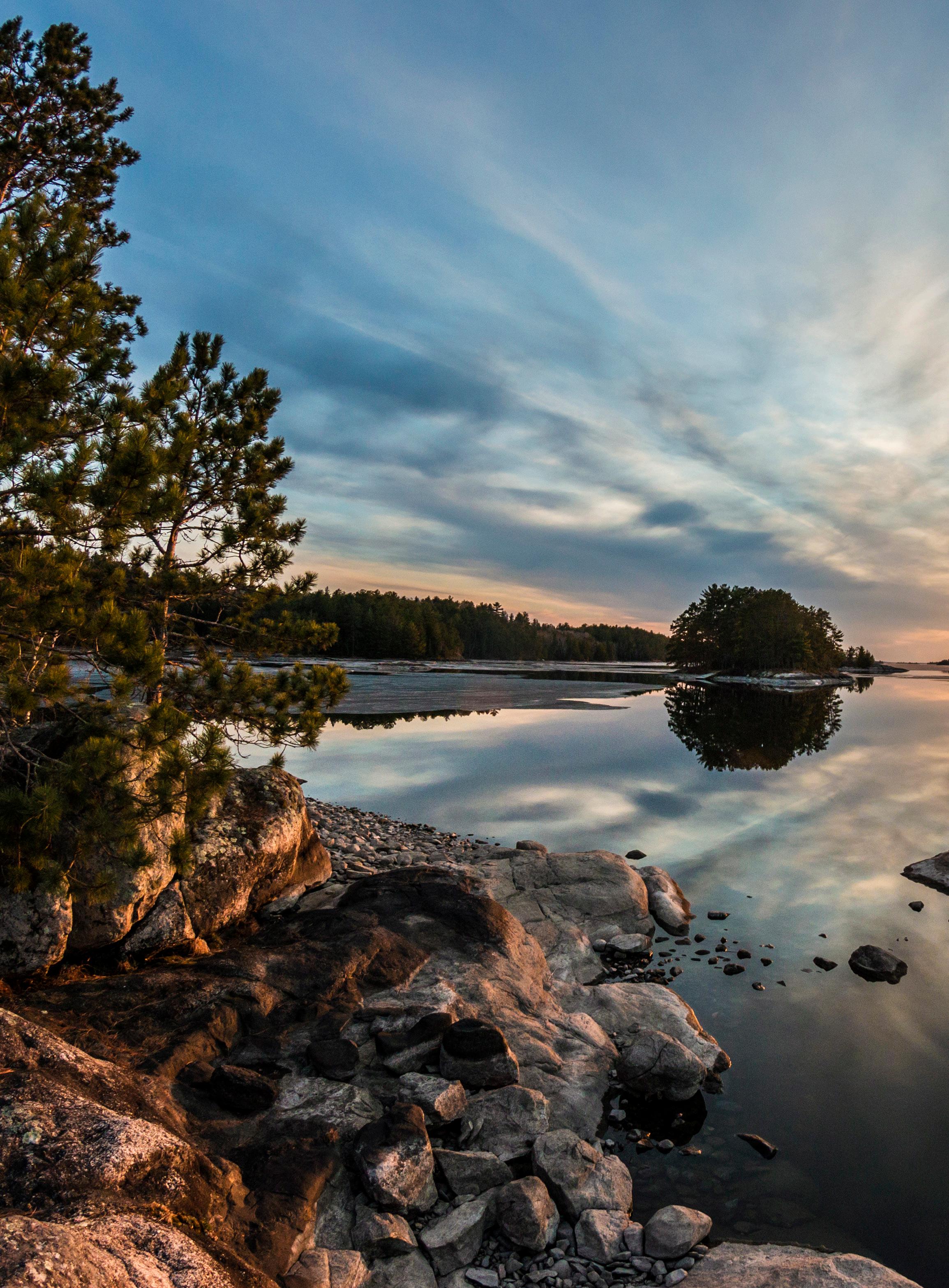
Rock Harbor To Daisy Farm Trail
A 6.7-mile out-and-back option, the
Rock Harbor to Daisy Farm Trail offers scenic views along the Rock Harbor Channel and Mott Island.
ABOUT THE PARK LOCATION
Lake Superior, near the Canadian border
ESTABLISHED
April 3, 1940
AREA
132,018 acres
On and around Isle Royale, consider all surface lake and stream water contaminated and non-potable. You’ll find helpful information about safely treating water in the backcountry here. Additionally, always check both land and water conditions on the park’s website, and with a reliable weather service, as conditions are temperamental and quickly change
THE HIKES, DRIVES AND VIEWPOINTS
Isle Royale is 45 miles long and nine miles wide, with an area of nearly 207 square miles, making it the fourth largest lake-island in the world.
Scoville Point Via Stoll Memorial Trail
For spectacular views, the 4.7-mile Scoville Point via the Stoll Memorial Trail is a moderately challenging but rewarding hike that winds to the northeast from Rock Harbor, Michigan,