3 minute read
Voyageurs National Park


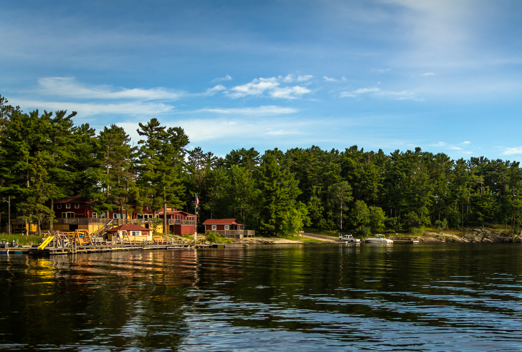
Set at the Canadian border in International Falls, Minnesota, 218,055-acre Voyageurs National Park offers year-round enchantment, from its rock ridges and cliffs to its wetlands, southern boreal and northern hardwood forests, streams, and lakes.
Featuring both land and aquatic ecosystems, it’s a place where the Northern Lights make a sporadic appearance, eagles soar overhead while wolves roam below. The Ellsworth Rock Gardens on the shores of Lake Kabetogama and the Kabetogama Peninsula feature 200 sculptural delights.
The park’s name is a nod to the French Canadian fur traders who began journeying along the area’s interconnected waterways more than 250 years ago. But it was during the Paleo-Indian Period that people first entered this area, when the waters from glacial Lake Agassiz receded.
The Flora and Fauna
With interconnected waterways that flow west and, eventually, north as part of the Hudson Bay’s arctic watershed, Voyageurs is part wild, part developed. Located at the southern end of the Canadian Shield, it reveals some of the world’s oldest rocks.
Home to iconic Northwoods species — among them moose, several wolf packs, black bears, bald eagles and owls — its wetlands are also a haven for beavers and amphibians. Roughly 40% of the park is water — it’s also populated with walleye, northern pike, lake trout and sturgeon.
Boreal tree species from the north — spruce, fir, aspen and paper birch — mingle with maples, oaks, pines and basswood from the south and east. Time it right and strawberries, blueberries and raspberries abound.
The Weather
Experiencing four distinct seasons, the weather is most temperate June through August. The park remains frost-free an average of 120 days from June to mid-September.
Fairly rainy and snowy, annual precipitation — including rain and snow — averages 25 to 28 inches. The snowfall varies but is usually between 55 and 70 inches.
Keep an eye on trail and weather conditions on the park’s website.

Tim Umphreys
The Hikes, Drives and Viewpoints
Blind Ash Bay Trail
Narrow, winding and rocky, the 3-mile Blind Ash Bay Trail cuts through the boreal forest, with ample opportunities to spot wildlife, such as deer and a variety of birds.
Oberholtzer Trail
The 1.7-mile out-and-back Oberholtzer Trail travels through deciduous and conifer forest before twisting through a cattail-dotted wetland and past rocks that were left by ancient glaciers.
Kabetogama Lake Trail
Fringed by pine trees, the .4-mile Kabetogama Lake Trail is an easy option with excellent lake vistas.
Beaver Pond Overlook Trail
Another non-strenuous choice is the .3-mile, out-and-back Beaver Pond Overlook Trail, a short, uphill hike that culminates in a view of its namesake.
Waters of the Dancing Sky Scenic Byway
Opt to take Minnesota’s northernmost scenic drive — Waters of the Dancing Sky Scenic Byway — which travels from Voyageurs National Park along the Canadian border. Motor from Rainy River in International Falls to Baudette, pass through fields of lady’s slippers from Baudette to Warroad, and follow the Pine to Prairie Birding Trail west of Warroad.

Getty
About the Park
Location - Northern Minnesota, near the Canadian border
Established - April 8, 1975
Area - 218,000 acres


