9
Revitalizing Cultural heritage
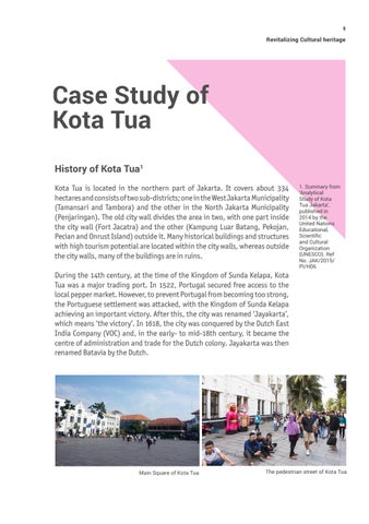
Case Study of Kota Tua History of Kota Tua1 Kota Tua is located in the northern part of Jakarta. It covers about 334 hectares and consists of two sub-districts; one in the West Jakarta Municipality (Tamansari and Tambora) and the other in the North Jakarta Municipality (Penjaringan). The old city wall divides the area in two, with one part inside the city wall (Fort Jacatra) and the other (Kampung Luar Batang, Pekojan, Pecian and Onrust Island) outside it. Many historical buildings and structures with high tourism potential are located within the city walls, whereas outside the city walls, many of the buildings are in ruins.
1. Summary from ‘Analytical Study of Kota Tua Jakarta’, published in 2014 by the United Nations Educational, Scientific and Cultural Organization (UNESCO). Ref No. JAK/2015/ PI/H06
During the 14th century, at the time of the Kingdom of Sunda Kelapa, Kota Tua was a major trading port. In 1522, Portugal secured free access to the local pepper market. However, to prevent Portugal from becoming too strong, the Portuguese settlement was attacked, with the Kingdom of Sunda Kelapa achieving an important victory. After this, the city was renamed ‘Jayakarta’, which means ‘the victory’. In 1618, the city was conquered by the Dutch East India Company (VOC) and, in the early- to mid-18th century, it became the centre of administration and trade for the Dutch colony. Jayakarta was then renamed Batavia by the Dutch.
Main Square of Kota Tua
The pedestrian street of Kota Tua