2 minute read
The hydroelectric power plant in Töll


The first large power plant in South Tyrol
The hydroelectric plant in Töll (later nown as AEC-EW and AE-EW) was the first large power plant in South Tyrol, built on the initiative of the Mayor of Meran and Bozen and designed by the Munich engineer Oscar von Miller in 1897; it was connected to the power grid on April 5, 1898. On the site was formerly located the sawmill belonging to the father of the most famous citizen of Partschins, Peter Mitterhofer, inventor of the typewriter. The waters from the Etsch river pass through a 16 m long weir at the level of Töll, making it a unique contemporary historical monument. The water enters the surge tank, which is situated at an elevation of 496 m above sea level just above the power station, via a 480 meter long free-flow tunnel with a total volume of 6000 cubic meters. The waters of the Etsch river are dammed here, and the lock house located on three masonry columns covered with porphyry stone, built in 1925 for the operation of the lock. It was renovated in 2003, maintaining its original style, as was the former Zieglbrugg (so named because it was once covered by a roof).
Advertisement
There was already an arched bridge built at this site during Roman times, as attested by documents housed in the Johanneum in Innsbruck dating from the 14th and 16th century.
The Peter Mitterhofer cultural trail towards Rabland starts next to the power station, as does the Marlinger Waalweg trail (irrigation channel) as well as the nearby Algunder Waalweg trail (irrigation channel).
in the Alps
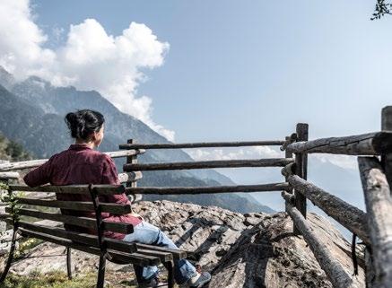
Approximately 15 kilometers north of Partschins, the ten Spronser Seen lakes nestle at varying altitudes between 2.120m and 2.590m a.s.l. on a high mountain plateau in the heart of the Texel Group Nature Park. The largest two lakes, the Langsee and the Grünsee lakes, together with the other eight lakes, form part of what is the most extensive high altitude lake system in Europe.
On a hike to the Spronser Seen lakes, the route leads straight through an ancient sacred mountain site on the Pfitscher Schartl wind gap. In 1933, the artist Josef Tscholl discovered an ancient place of worship at 2,130 metres above sea level that is unique in South Tyrol. Its discovery was the start of the cup stone research still being undertaken in South Tyrol today. Numerous cup stones from the Bronze age are strung together right by the edge of the path on the Pfitscher Schartl. There are no fewer than 1.300 cup shapes spread over 40 stone slabs. Almost all of the cup stones can be found within the remains of walls in the shape of a pentagon. In addition to the general round depressions, a variety of different figures were also ground out of the stones by hand. The cup shapes on the “star slab”, for example, are believed to have an astronomical meaning. Different symbols are thought to represent the sun, moon and stars. As well as the cup stones, rock paintings also bear witness to the importance of this pass road during Ötzi’s time. The exact meaning of the mysterious cup stones is still being debated today. They may have been used for ritual acts or as sacrificial sites. Others, on the other hand, believe that they depict signs of the zodiac, calendars or a kind of original script for marking pathways.
Tip: Anyone not wishing to climb so high can also admire cup stones on the Merano High Path "Meraner Höhenweg" n° 24 at the Hochganghaus or on the Partschinser Sagenweg (Trail of Legends).