25 minute read
5.1 Infrastructure Analysis


The level of growth expected within the Rouse Hill Strategic Centre will place increased pressure on existing local and regional infrastructure. One of the guiding principles for this Precinct Plan is that existing and future growth will be appropriately catered for with local infrastructure, as these facilities are integral to the daily lifestyles of residents and workers. This includes local infrastructure such as playing fields, parks, traffic and transport works, community facilities and stormwater works.
This section mainly focuses on the infrastructure required to service the uplift and development within Rouse Hill that is not yet catered for by the planned and existing local infrastructure framework.
Areas which have been subject to previous investigations to identify the required local infrastructure, and where this Precinct Plan is not proposing any significant change, do not form part of the analysis. However, infrastructure upgrades that are already planned and identified for funding are acknowledged to provide a holistic analysis.
Local infrastructure can be delivered by Developers or Council through a combination of Contributions Plans and Planning Agreements.
Contributions Plans include a schedule of infrastructure and costs and establish contribution rates. As development occurs, Developers pay contributions and these contributions are allocated toward the rollout of infrastructure listed within the Plan. Alternatively, Developers can enter into a Planning Agreement with Council. These Agreements can include land, works or monetary contributions for local infrastructure. Planning Agreements are voluntary and are typically entered into as part of sitespecific proposals to increase density, where the infrastructure that is required to support the growth is not included within an applicable Contributions Plan. These Agreements can also be effective where the land undergoing uplift is controlled by a single owner.
Figure 62 identifies the existing local contribution framework (both Contributions Plan and current Planning Agreements) that apply across the Strategic Centre.
Metro Station
Metro Line (Above Ground)
Rouse Hill Strategic Centre
Voluntary Planning Agreement
Contributions Plan No. 8Kellyville/Rouse Hill
Contributions Plan No. 11Annangrove Road Employment Area

Contributions Plan No. 13North Kellyville Precinct
Contributions Plan No. 15Box Hill Precinct
*Note: Council’s Section 7.12 Contribution Plan also applies to the Rouse Hill Strategic Centre.
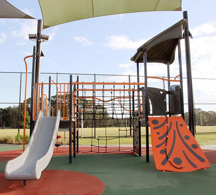
5.1.1 Active Open Space
Active open spaces are areas for physical activity and organised sport. This Precinct Plan assesses the expected active open space needs of future residents and recommends solutions to address demand.
Existing Situation
There are currently 2 existing active open space facilities within the Study Area. These include:
• Bruce Purser Reserve (1 AFL field).
• Hills Centenary Reserve (3 playing fields and 1 softball field). There are 3 additional active open space facilities the vicinity of the Study Area, including:
• Kellyville Netball Complex (38 Netball Courts).

• Russell Reserve (2 playing fields).
• Caddies Creek Sports Complex (3 playing fields and 1 baseball field). The Caddies Creek Sports Complex will be expanded to include 4 additional playing fields and new multi-purpose courts in response to demand arising for development within the Bella Vista and Kellyville Station Precincts.
The existing active recreation facilities are nearing capacity. A key limiting factor for additional residential growth beyond that permitted under the current planning framework is the difficulty in identifying and acquiring new areas for additional active open space and playing fields within the locality.
Proposed Demand
Council’s Recreation Strategy indicates that dwellings should be located within 1-2km of a local active open space facility, where possible. The preferred benchmark provision is 1 playing field per 2,000 people for lowdensity areas and 1 playing field per 4,000 people (2,000 dwellings) for highdensity residential areas.
Based on these benchmarks and the existing and planned active open space network, there may be potential for the demand for an additional 500-1,000 dwellings within the Strategic Centre (beyond that already anticipated under the current controls) to be catered for within the planned active open space network, subject to further embellishments to increase capacity.
Any proposal to increase residential yields must ensure an appropriate infrastructure solution is established and contributions mechanism put in place as part of any changes to planning controls. Further residential growth beyond that identified in this Plan would not be serviced by any existing or planned active open space and as a result, would reduce levels of service for existing and future residents in the locality, with an alternative solution needed to address the resultant demand.
Metro Station
Metro Line (Above Ground)
Rouse Hill Strategic Centre
Current Active Open Space
Future Active Open Space
2km Catchment Buffer
5.1.2 Passive Open Space
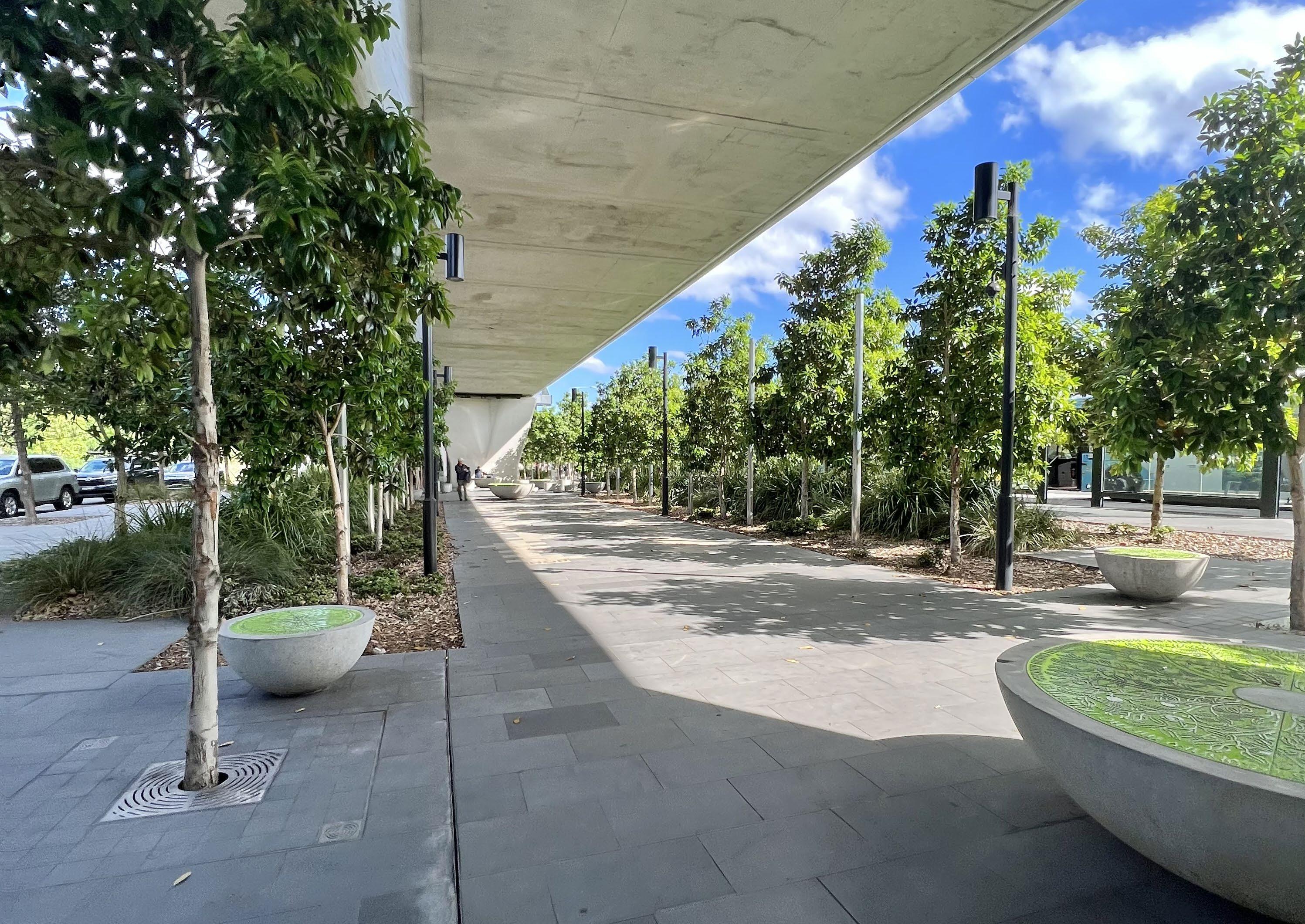
Passive open spaces are areas primarily for play and quiet relaxation, providing an opportunity to connect with the community and outdoor environment and includes local parks, urban parks or plazas, and green corridors containing a footpath and cycleway. This Precinct Plan assesses the expected passive open space needs of both residents and workers and recommends solutions to address demand.
Existing Situation
Currently the Rouse Hill Precinct accommodates approximately 14 local and neighbourhood parks, with a further nine parks within the broader locality (three located in Blacktown LGA).
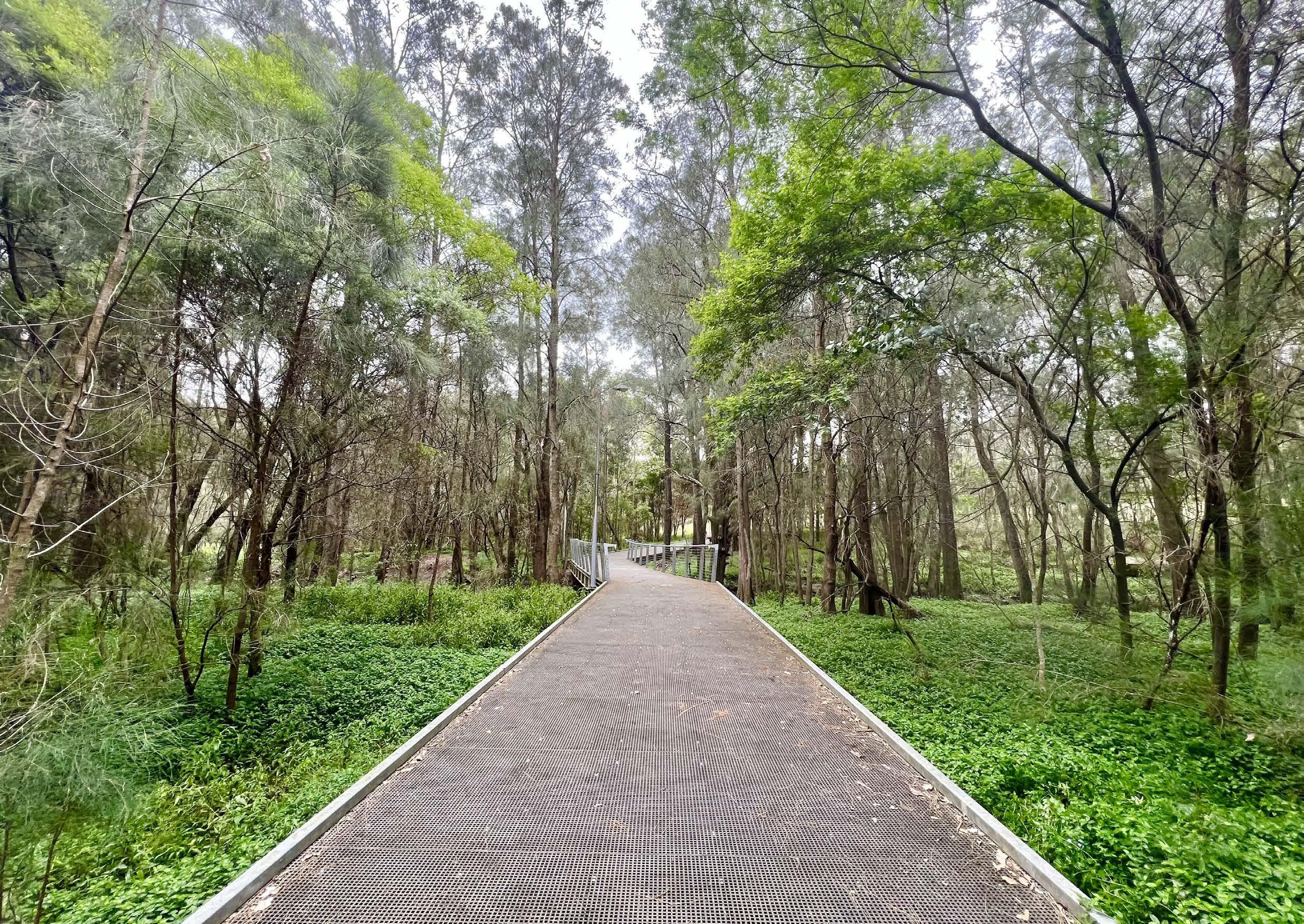
The Caddies Creek tributary traverses the Rouse Hill Strategic Centre. This Greenway Link is under the ownership of Sydney Water and serves both a drainage and open space function. The tributary diverges into Strangers Creek and Caddies Creek which continue into Beaumont Hills in the south and North Kellyville in the north. These corridors form part of the Shire’s broader Green Grid.
Proposed Demand
Council’s Recreation Strategy indicates that dwellings should generally be located within 400m of passive open spaces. Where possible, existing parks will be enhanced to a higher quality.
It is also acknowledged that local parks do not only service residents but are also important for workers. They play an essential role in attracting and retaining employees as they provide places for workers to have breaks. They assist in achieving good urban design outcomes, enhancing the image of the Rouse Hill Strategic Centre and provide amenity for residents, workers and visitors.
Proposed Solutions
Figure 64 shows all existing and planned passive open space areas within the Strategic Centre, with a 400m walkable catchment around each open space. The map also includes privately owned, but publicly accessible, greenway/drainage links which form an integral part of the open space network within the Strategic Centre.
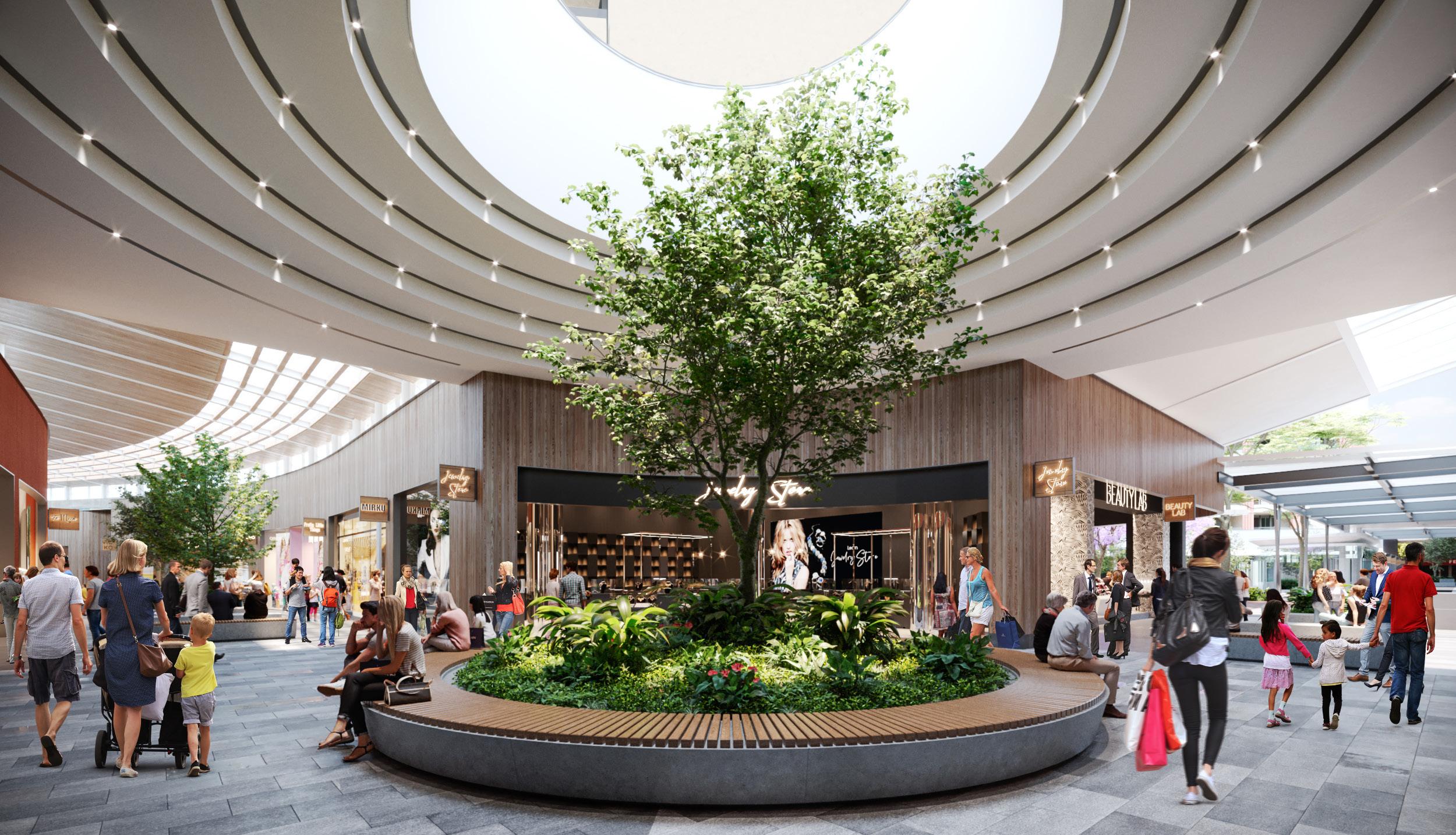
The Precinct is well serviced in terms of open space. However additional residents, workers and visitors will create demand for new open spaces, especially within the heart of the Strategic Centre. The new central local park identified within the structure plan for the Northern Frame will increase the quantum of open space within the core of the Town Centre and will greatly improve accessibility to open space. As this Precinct is further master planned, opportunities for new parks and plazas will need to be investigated within individual sites, especially as part of future development outcomes in Focus Areas identified in Section 4.1 of this Precinct Plan.
Metro Line (Above Ground)
Rouse Hill Strategic Centre
Current Passive Open Space
Future Passive Open Space
400m Catchment
5.1.3 Traffic and Transport

The Study Area comprises an extensive local and regional road network, which provides links between key areas and to surrounding centres. Windsor Road is a regionally significant arterial road, providing a northsouth connection along the western boundary of the Study Area and separates The Hills and Blacktown Local Government Areas. It provides regional connections to Windsor and the Hawkesbury Region to the north and throughout The Hills (Norwest and Baulkham Hills), through to Parramatta and the M2 and M7 Motorways.
White Hart Drive, Caddies Boulevard and Commercial Road frame the Town Centre and provide connections through to surrounding residential development and Windsor Road. Commercial Road, Withers Road and Mile End Road provide local connections beyond the Precinct, to areas such as Beaumont Hills, North Kellyville, the Annangrove Road Employment Area and Box Hill.
The roads are congested during morning and evening peak periods, causing delays for road users. Future growth will substantially increase traffic volumes within the Strategic Centre, along Windsor Road, Commercial Road, Withers Road and local feeder roads. While it is expected that road users will likely experience some worsening traffic congestion, even with planned road upgrades, it will be the focus of traffic and transport planning to ensure that the future road network operates at an acceptable level of service. This will occur in consultation with Transport for NSW.
Ensuring that the road network continues to operate at an acceptable level of service will require the implementation of a combination of measures. These include:
• Reduced parking rates that recognise the accessibility of high frequency public transport services to and from the Centre.
• Modal shift toward increased public transport usage to access the Strategic Centre (assisted through reduced parking rates, improved access to the Metro Station, the delivery of future regional transport connections and connectivity and public domain improvements)
• Upgrades and expansion of certain roads and intersections to ensure the road network functions to an acceptable standard.
• Design of new development to be pedestrian oriented. These matters are discussed further within this Section.
Metro Station
Metro Line (Above Ground)
Rouse Hill Strategic Centre
Primary Arterial

Sub Arterial
Major Collector
Minor Collector
Private
Regional Road Network
The NSW Government (Transport for NSW) will be responsible for upgrades to the regional road network (arterial roads and regionally significant sub-arterial roads), including Windsor Road, Commercial Road and Withers Road.
Various upgrades have been identified to assist in increasing the capacity of the regional road network, as shown in Table 11 below.
Upgrade of Commercial Road between McCombe Avenue and Withers Road
Signalisation upgrade at Commercial Road and Withers Road intersection
Upgrade of Withers Road from Mile End Road to Commercial Road
Signalisation upgrade at Withers Road and Mile End Road intersection
Upgrade of Withers Road from Annangrove Road to Mile End Road
Metro Line (Above Ground)
Rouse Hill Strategic Centre
Primary Arterial Road
Sub-Arterial Road
Item

Metro Line (Above Ground)
Rouse Hill Strategic Centre
New Road
Item
Local Road Network

In addition to the regional road upgrades, several local road improvements are identified within the Rouse Hill Strategic Centre (including new road connections, intersection upgrades, new signalised intersections, roundabouts and left-in-left-out upgrades). These are principally feeder roads onto the regional road network and provide local vehicular access to existing and future development sites. These improvements will result in the following benefits: Ease traffic congestion. Improve vehicular connectivity. Facilitate active transport links.
Facilitate improved amenity for residents and workers.
The suite of local road improvements will work in tandem with reduced parking rates, improved public transport services and connectivity and public domain improvements. Typically, local road improvements will either be funded through local Contributions Plans or will be delivered by Developers (at no cost to Council) as redevelopment occurs. Some of the upgrades listed in Table 12 are already identified for delivery and funding through Contributions Plans and/or Voluntary Planning Agreements. The strategically identified items have not yet been finalised and do not have a current funding source. Where needed, Council can consider including the capital and land acquisition costs associated with upgrades within an applicable Contributions Plan. Where appropriate, land required for road widening will be zoned for acquisition within The Hills Local Environmental Plan.
No. Item Description
1 New signalised intersection at the junction of Commercial Road and the new local road adjoining the future Rouse Hill Hospital
2 New local road connecting Commercial Road and Rouse Hill Drive
Responsibility
Health Infrastructure / Developer (Strategically Identified)
Health Infrastructure / Developer (Strategically Identified)
3 New left-in/left-out intersection at the junction of Rouse Hill Drive and the new road connecting Commercial Road and Rouse Hill Drive Council / Developer (Strategically Identified)
4 New local road connecting the future Rouse Hill Hospital and Caddies Boulevard Developer (Strategically Identified)
5 New left-in/left-out intersection at the junction of Caddies Boulevard and the new road connecting Commercial Road and Rouse Hill Drive Developer (Strategically Identified)
6 New signalised intersection at the junction of Green Hills Drive, Commercial Road and Caddies Boulevard Developer (Strategically Identified)
7 Extension of Green Hills Drive from Carnoustie Street to Commercial Road Developer (VPA)
8 New roundabout at the junction of Carnoustie Street and Green Hills Drive Developer (VPA)
9 New local road connecting to Rouse Hill Drive Developer (Strategically Identified)
10 New local roads throughout Focus Areas above Commercial Road Developer (Strategically Identified)
11 New local roads throughout the Hospital Site
Health Infrastructure / Developer (Strategically Identified)
Car Parking
The Hills Shire currently has high private car ownership rates and usage patterns, with nearly 80% of trips made by private vehicles. With the population set to increase over the next 20 years, this will in turn drastically increase the number of cars on the road network (estimated to be an additional 72,000 cars across The Hills Shire based on existing car ownership levels), subsequently placing increased pressure on the road network.
While Rouse Hill has not benefited from any regional traffic modelling undertaken by Transport for NSW as was the case in other Strategic Centres of The Hills (being Castle Hill and Norwest), a detailed Transit Centres Parking Requirements Report was prepared by PeopleTrans in late-2020.
The application of reduced parking rates that recognise the accessibility of the Strategic Centre with high frequency public transport services will substantially reduce traffic generation. The reduced traffic generation coupled with road upgrades will assist in minimising the impact of growth on the level of service of the road network.
Reduced parking rates also have many other benefits, including encouraging a modal shift towards public transportation and prioritising transit oriented development principles. It will also assist in enhancing local amenity and creating great places that attract residents, workers and investments.
They also improve commercial feasibility, with many Developers challenged by the high cost of parking within a construction project, combined with high minimum parking rates and the need for public domain improvements. It is estimated that basement parking spaces cost on average between $50,000 - $60,000 per space. Therefore, introducing more constrained parking rates will make redevelopment more economically attractive, enable Developers to develop at a high design standard and provide a greater contribution towards the embellishment of the public domain.
Council already has a reduced residential parking rate of 1 space per dwelling within the Station Precincts. This rate is proposed to be retained. For non-residential development, it is recommended that the proposed reduced parking rates, based on walkable catchments (as shown in Figure 68), be rolled out within the Strategic Centre. This would occur through an amendment to The Hills Development Control Plan 2012, in line with the recommendations contained within the Transit Centres Parking Requirements Report prepared by PeopleTrans.
Inner

Outer

Active Transport Network
The delivery of a safe and well-connected pedestrian and bicycle network is essential to improving the amenity of the Rouse Hill Strategic Centre and achieving a transit oriented centre. The existing impediments to cycle and pedestrian movement within the Rouse Hill Strategic Centre are:
• Regional Roads (barriers): Areas of the Strategic Centre are bisected by busy roads such as Windsor Road, Commercial Road and Withers Road. Access points across these roads are currently limited.
• Large impermeable lots: Large lots with no pedestrian through-site links reduces permeability and increase the time and distance for pedestrians to walk between different points within the Strategic Centre. The existing Town Centre core has good permeability however improved connections will be required as part of any redevelopment within the Northern Frame and sites to the north of Commercial Road.
• Incomplete network: There are already existing pathways and cycleways, which assist in facilitating active transport. However, the paths in certain parts of the Rouse Hill Strategic Centre are not complete.
The above issues can be mitigated through the following:
• Provide shared paths in association with road upgrades.
• Identify through site links to improve pedestrian movement.
• Complete missing portions of the cycle network.
• Require footpaths adjoining development sites.
• Identify pedestrian bridges across roads with high traffic volumes.
The updated walkability catchment taking into account the existing and planned pedestrian and cycle connections is identified within this Plan and shown in Figure 69.
This Plan aims to improve the active transport facilities by integrating active transport methods with other forms of available transport modes in the Rouse Hill Strategic Centre to increase public transport use and promote a healthier lifestyle. For example, dual-mode travel can be encouraged by providing an integrated network of active routes ensuring good local connections between residential areas and attractors, such as educational institutions, shopping centres, major bus interchanges and secure bicycle parking facilities.
Metro Station
Metro Line (Above Ground)
Rouse Hill Strategic Centre
Up to 5 minute walk (400m)*
5 to 10 minute walk (800m)*
10 to 15 minute walk (1,200m)*
Pedestrian Bridge
Proposed Road

Pedestrian Link
Existing Cycleway
Planned Cycleway
Public Transport Corridor
5.1.4 Regional Public Transport
It is imperative that the centre is accessible and has frequent and efficient public transport connections to surrounding regions and economic centres. This will make Rouse Hill a viable and attractive option for future residents, businesses and workers.
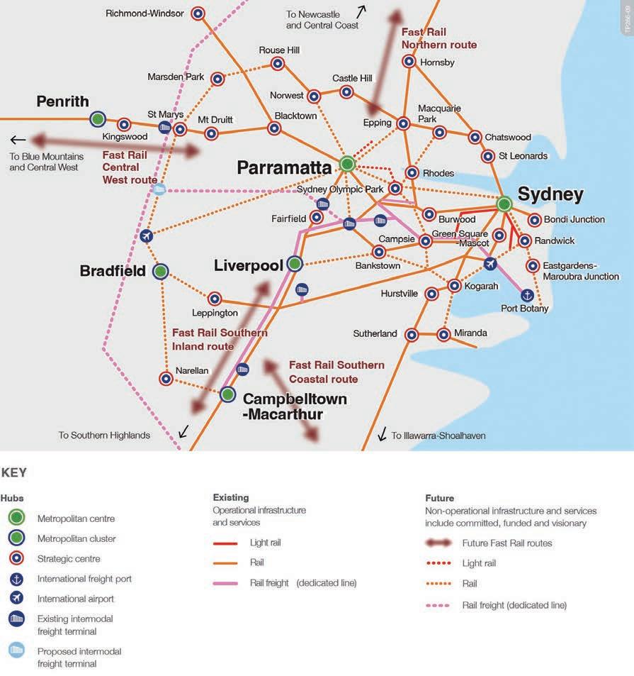
The Sydney Metro Northwest addresses the critical east-west connection along the Macquarie Park/ Chatswood and City economic corridor. The extension of the Sydney Metro Northwest from Tallawong Station to St Marys Station will also greatly improve public transport to the Western Sydney Employment Area and future Western Sydney Airport. The investigation of this corridor is identified in the Region Plan as a 0-10 year priority. Rouse Hill is strategically located to benefit from this important linkage.
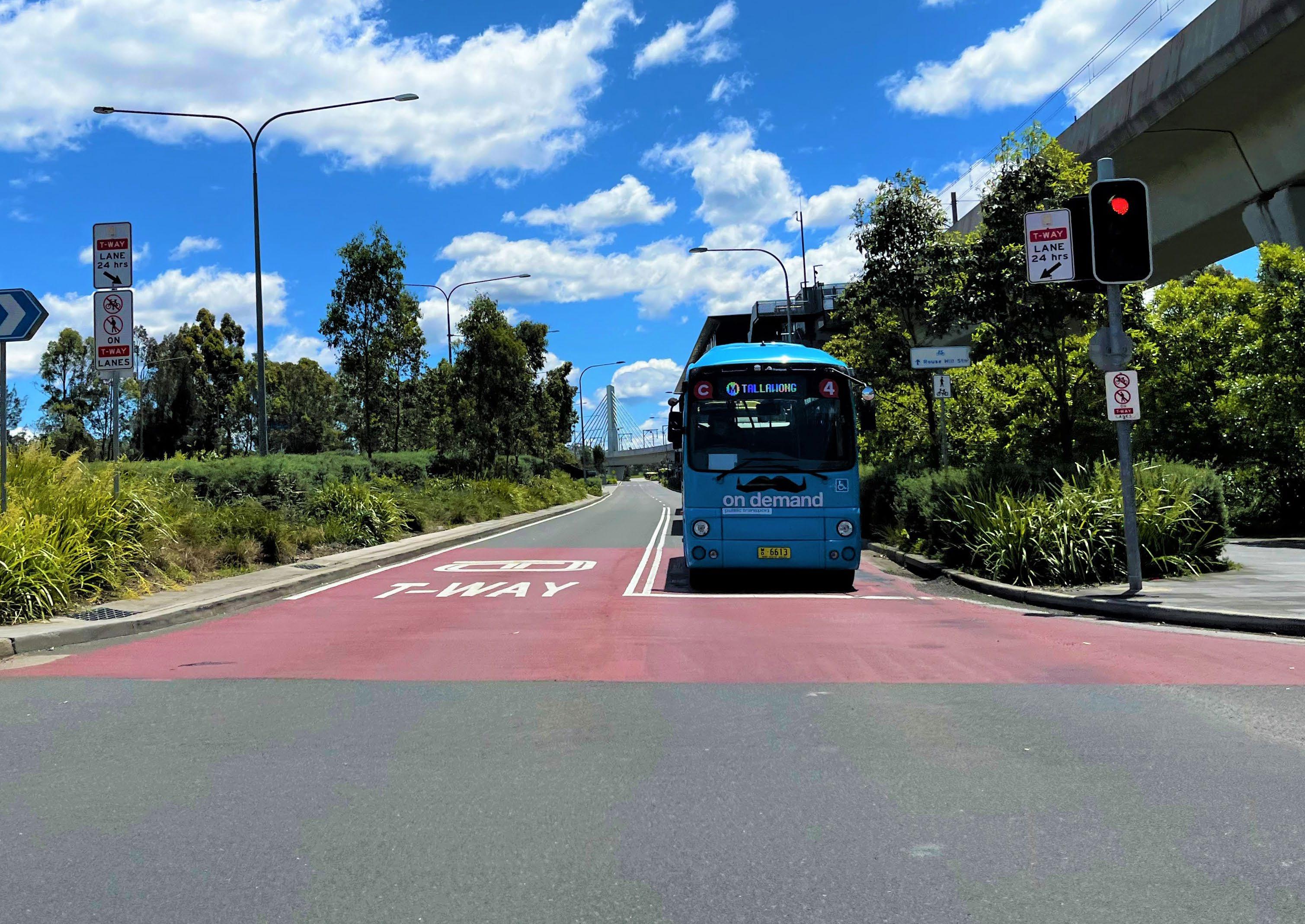
The T-way provides an accelerated bus service to Parramatta and largely follows the alignment of Windsor Road and Old Windsor Road into the CBD opposite Parramatta Train Station. This service is well utilised.
Currently connections between Parramatta and the Hills Shire are principally via arterial roads (Windsor Road and Old Windsor Road). These roads are extremely congested during peak periods and even with the completion of local and regional road upgrades this congestion will only worsen as the population grows.
The NSW Government’s Greater Sydney Region Plan and Future Transport Strategy nominate a city-shaping link between Norwest and Parramatta as a 10-20 year visionary project with no firm commitment to planning at this stage. The Rouse Hill Strategic Centre would benefit from this link as, when combined with the Sydney Metro Northwest, it would provide an additional public transport option to the Parramatta CBD. To safeguard this connection earmarked by the NSW Government, it is pivotal that the NSW Government progressively conduct feasibility studies to preserve the transport corridor and transport hubs to protect the future city-shaping mass transit link identified in the Future Transport Strategy.
Council will continue to lobby the NSW Government for the funding, early planning and delivery of these regional transport connections, as they are critical to the success of Rouse Hill moving forward. A mass transit link between The Hills Shire and Parramatta will secure the long-term viability of the Shire’s Strategic Centres and support the growth of the Greater Parramatta and Olympic Peninsula (GPOP) economic corridor, cementing Parramatta’s role as the Central River City Central Business District.
To better connect people to both rail and T-way services, a link is required between Box Hill and Rouse Hill. This Plan identifies a public transport corridor stretching along Green Hills Drive, Mile End Road and Withers Road. Investigations are required to identify the best continuation of the corridor to maximise opportunities for residents in the North West Growth Area to access fast, reliable public transport.
The following key actions will be required as part of the long term planning for improved public transport services to and from Rouse Hill:
• Collaborate with State Government in the preparation of a business case for the mass transit link between Norwest and Parramatta. This will include the type of service required and identify options for a corridor.
• Collaborate with State Agencies as part of the planning and delivery of the extension of the Sydney Metro Northwest from Tallawong Station to St Marys Station.
• Collaborate with State Agencies as part of the planning and delivery of a public transport corridor from Rouse Hill to Box Hill.
Key
Urban Growth Boundary
LGA Boundary
Metro station Corridor investigation area
Box Hill

5.1.5 Community Facilities
Existing Situation
The Rouse Hill Strategic Centre contains one of the library facilities within The Hills Shire, the Vinegar Hill Memorial Library, which is located in the heart of the Rouse Hill Town Centre. The library has a total floor area of 1,300m² and primarily services Rouse Hill, Box Hill, Gables, North Kellyville and Beaumont Hills. It contains a children’s area and three meeting rooms and office space. Whilst primarily servicing the identified catchment, a significant portion of borrowers also come from Kellyville, Bella Vista and other areas within The Hills Shire.
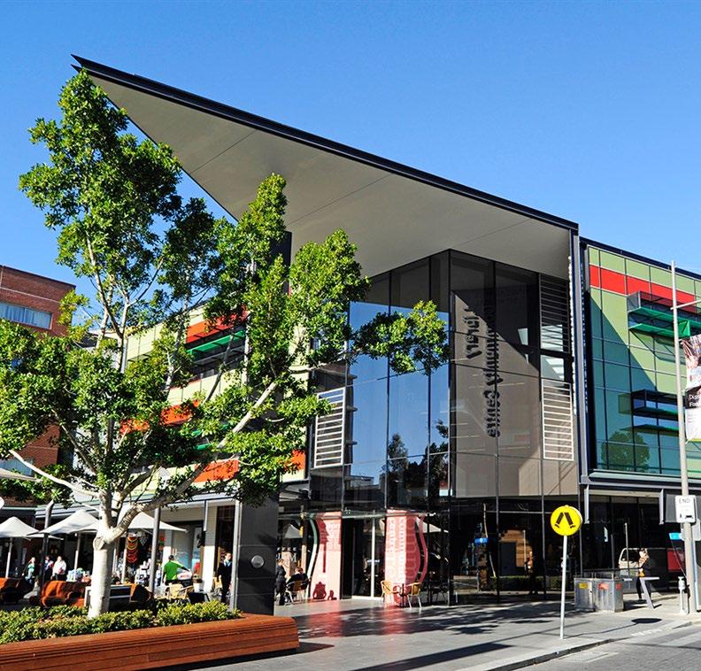
There are currently two community facilities within the Rouse Hill Strategic Centre, including the Vinegar Hill Memorial Community Centre and the Rouse Hill Community Centre. These facilities have a total floor area of 870m² and capacity for 768 people.
Population growth within the Strategic Centre and surrounding suburbs will warrant the provision of new library and community facilities. Whilst there is currently a lack of such facilities within the North West Region, this is largely since Council is unable to fund the capital cost for these types of facilities under local Contributions Plans (as they are not on IPART’s Essential Works List).
Council’s Contributions Plans for the Balmoral Road Release Area and North Kellyville Precinct collect contributions for a land / stratum cost for further provision of areas of community floor space potentially located within the Rouse Hill Town Centre.
Projected Demand
The delivery of new community floorspace within the Strategic Centre will service the needs of new residents and will also relieve pressure on other nearby libraries by drawing users from existing facilities. This is also critical given the Rouse Hill Strategic Centre services the rapidly growing Balmoral Road, North Kellyville, Box Hill and Gables Release Areas.
Proposed Solution
Opportunities will be explored to provide new community floor space within the Northern Frame of the Rouse Hill Strategic Centre. Opportunities for new library floorspace (potentially in the form of concierge libraries) will also be investigated within the vicinity of the Rouse Hill Strategic Centre.
5.1.6 Education Facilities
The delivery of primary and secondary schools is an integral part of ensuring liveable neighbourhoods and servicing the needs of our family dominated demographic. Identification and delivery of schools is ultimately a matter for State Government (Schools Infrastructure NSW) and consultation will be required.
The projected growth will generate demand for new school infrastructure, for both primary and secondary schools. Some of the demand may be met through additional private schools and/or expansion of capacity within some existing schools. The remaining demand will need to be catered for through new NSW Government schools and will be a matter for further consultation with the NSW Government.
Notwithstanding the above, this Plan identifies a parcel of NSW Government-owned land north west of Caddies Creek Reserve that could be used for State infrastructure such as a new school. This landholding is identified on the Structure Plan within Section 4.2 of this Precinct Plan.
Metro Station
Metro Line (Above Ground)
Rouse Hill Strategic Centre
Rouse Hill High School Catchment
Kellyvillle High School Catchment
The Ponds High School Catchment
Riverstone High School Catchment
Potential New School
Metro Station
Metro Line (Above Ground)


Rouse Hill Strategic Centre
Rouse Hill High School Catchment
Kellyville Ridge Primary School Catchment
North Kellyville Primary School Catchment
Ironbark Ridge Primary School Catchment
Beaumont Hills Primary School Catchment
John Palmer Primary School Catchment
5.1.7 Water Management
Stormwater Network
Applications for future development and proposals to facilitate uplift of development opportunities on land in the Precinct will need to be supported by a Stormwater Assessment to identify the capacity of the existing stormwater network and its hydrological level of service. The assessment will also need to identify what upgrades will be required to facilitate safe and sustainable development.
Overland Flowpaths

There are numerous overland flowpaths throughout the Rouse Hill Strategic Centre, predominately located on existing roads and dedicated drainage lines. However, it is noted that some of the flowpaths are located on private land.
Overland flowpaths convey stormwater during storm events. Underground stormwater pipes have a limited capacity. When these pipes are blocked, or when the volume of stormwater exceeds the capacity of the pipes, the stormwater will spill over and flow over land until it reaches a creek or basin. These flowpaths are to be reserved from development and must be kept clear.
Where an overland flowpath is located on private land, future development must be designed to avoid the flowpath. Where possible through site links and future roads will be strategically located to align with these flow paths so that the stormwater pipes can be located within road reserve.
The following key actions will be required as part of the long term planning for improved stormwater management:
• Future landowner initiated proposals will need to identify and deliver upgrades to the stormwater network.
• Reinforce the need for development to avoid overland flowpaths through development controls. Where possible locate through site links and new roads along these flowpaths.
Metro Station
Metro Line (Above Ground)
Rouse Hill Strategic Centre
Creek / Overland Flowpath
Catchment Area

100 Year Flood Extent
*Note: The information presented in this map on flood extent is subject to disclaimer and copyright notice. Please refer to Appendix A for details.
5.2 Actions
The delivery of regional infrastructure will be the responsibility of State Government (regional traffic, mass transit corridors, schools etc.). Whereas Council will be responsible for the delivery of local infrastructure (land and physical works) including playing fields, parks, traffic and transport upgrades, community facilities and stormwater works. However, it is anticipated that some of this can be delivered by Developers as future development occurs.
As previously discussed in Section 5.1 of this Precinct Plan, the Strategic Centre is currently covered by Contributions Plan No. 8 – Kellyville/ Rouse Hill (a residential contributions plan) and The Hills Section 7.12 Contributions Plan, (applicable to non-residential development). Neither Plan accounts for the scale of growth proposed through this Precinct Plan.
Future growth is expected to occur through the redevelopment of large master planned development sites, with any necessary changes to the planning framework to occur through market driven planning proposals. Any planning proposal must consider and identify the appropriate infrastructure solutions and establish the necessary mechanisms for development contributions and/or delivery of works-in-kind.
Phase Action
Housekeeping Amendments (Phase 1)
Council-Led Change (Phase 2)
Action B1 – Collaboration with School Infrastructure NSW: Council to work with the School Infrastructure NSW to investigate opportunities for potential new schools to service the existing and proposed population.
Action B2 – Collaboration with State Government: Collaborate with State Government in the preparation of a business case for the mass transit link between Norwest and Parramatta. This will include identification of the the type of service required and potential options for a corridor.
Action B3 – Collaboration with State Government: Collaborate with State Agencies as part of the planning and delivery of the extension of the Sydney Metro Northwest from Tallawong Station to St Marys Station.
Action B4 – Collaboration with State Government: Collaborate with State Agencies as part of the planning and delivery of the public transport corridor from Rouse Hill to Box Hill.
Action B5 – Development Control Plan Amendments: Council will amend The Hills Development Control Plan 2012 to implement reduced nonresidential parking rates and reflect the planned pedestrian and cycle links for the Rouse Hill Strategic Centre.
Responsibility
Market Driven (Phase 3)
Action B6 – Market Driven Sites: Council will work with landowners to ensure the delivery of infrastructure in association with site-specific planning proposals or establishment of appropriate infrastructure contribution mechanisms.
Council / School Infrastructure NSW
Council / State Government
Council / State Government
Council / State Government Council
Council / Landowners / Developers


This Plan sets a holistic vision and ‘blueprint’ for the Rouse Hill Strategic Centre. It includes a list of actions that will be subject to future processes and decisions of Council. It will be necessary to work through these actions over time, to establish the planning framework that facilitates the vision and outcomes articulated in the Plan.
The Plan identifies areas where strategic work has been completed and
Strategic Work Completed
Areas where strategic planning work has already been completed and where no further change to the planning controls is anticipated. The Rouse Hill Regional Centre Master Plan framework (as originally established in 2004 and reviewed and updated since this time) continues to guide appropriate outcomes for much of the Centre. Development is expected to either remain unchanged or continue to rollout under the current planning framework (including development applications and/ or construction).
Phase 1: Housekeeping Amendments
Areas where Council-Led housekeeping amendments are recommended to facilitate improved and/or orderly development outcomes. It is noted that no housekeeping amendments are identified currently within the draft Precinct Plan, however this phase has been retained for the purposes of engagement, as landowners or stakeholders may have a view with respect to the need for such changes.
Phase 2: Council-Led Change

Short to medium term actions that could be led by Council. For example, the preparation of a holistic public domain plan and/or Development Control Plans to guide future development throughout the Centre to allow for the achievement of the vision and outcomes in this Plan.
Phase 3: Market Driven Change*
Actions that will be market driven. These generally relate to large consolidated sites in single ownership. It is considered that the market is best placed to determine the appropriate timing for amendments to the planning controls in these instances (having regard to development demand, life cycle of existing assets and feasibility) and put forward development outcomes and infrastructure solutions consistent with the strategic framework and Council’s vision articulated within the draft Plan. Whilst some market driven solutions may be achievable in the short to medium term, feasible redevelopment in other market driven areas is unlikely to occur until beyond the short to medium term horizon.
Metro Line (Above Ground)
Rouse Hill Strategic Centre
Strategic Work Completed
Phase 1 - Housekeeping Amendments
Phase 2 - Council-Led Change
Phase 3 - Market Driven Change
Changes to the planning framework would be driven by landowner-initiated planning proposals, along with associated amendments to the Development Control Plan, Public Domain Plan and appropriate infrastructure contribution mechanisms.
In terms of timing, it is expected that planning proposals for short to medium term sites would eventuate over the next 5 to 10 years (some landowners have expressed their intention to lodge planning proposals shortly following Precinct planning). Market driven solutions and planning proposals for longer term sites are unlikely to eventuate within this same period and are expected to occur beyond a 10-year horizon (10-20 years), as these sites are either substantially more complex, require amalgamation of fragmented areas or are unlikely to be feasible (at an appropriate density and scale outcome) within this initial 10-year horizon.
*Note: Refer to Section 1.3 of this Precinct Plan for location of sites that have been flagged for short to medium term change and longer term change (Figure 3).
Phase Action Responsibility
Housekeeping Amendments (Phase 1)
Council-Led Change (Phase 2)
N/A
Market Driven Change (Phase 3)
Action A1 - Public Domain Plan: Council will prepare a Public Domain Plan for the Rouse Hill Strategic Centre to facilitate some of the outcomes envisaged under this Precinct Plan, including character outcomes set out in Section 4.3 of this Plan.
Action A2 - Development Control Plan Amendments: Council will prepare Development Control Plan amendments for the Rouse Hill Strategic Centre to facilitate some of the outcomes envisaged under this Precinct Plan, including the environment and smart places outcomes set out in Sections 3.4 and 3.5 of this Plan.
Action A3 - Rouse Hill Hospital: The Rouse Hill Hospital will continue to progress through the design, planning approval and construction processes. Council will continue its role as a key stakeholder throughout these processes.
Action A4 - Northern Frame: Future uplift will be facilitated through a landowner-initiated planning proposal for the Northern Frame, having regard to the outcomes and design principles set out in Section 4.1 of this Plan (Focus Area 2). Site-specific DCP amendments will also be required to guide future development outcomes, as well as appropriate infrastructure solutions and mechanisms.
Action A5 - Tempus Street Sleeve Sites: Future redevelopment will have regard to the outcomes and design principles set out in Section 4.1 of this Plan (Focus Area 3). Amendments to the Rouse Hill Regional Centre Master Plan will likely be required to guide future development outcomes, as well as appropriate infrastructure solutions and mechanisms.
Action A6 – Bus Interchange: Future redevelopment of this site will be subject to further detailed design testing and relevant State Government asset management processes, as set out within Section 4.1 of this Plan (Focus Area 4). Site-specific DCP amendments will also be required to guide future development outcomes, as well as appropriate infrastructure solutions and mechanisms.
Action A7 – Town Centre Core: Future opportunities for redevelopment will be monitored having regard to relevant external factors as set out in Section 4.1 of this Plan (Focus Area 5).
Action A8 - Home Hub (4-6 Commercial Road): Future uplift will be facilitated through a landowner-initiated planning proposal, having regard to the outcomes and design principles set out in Section 4.1 of this Plan (Focus Area 6). Site-specific DCP amendments will also be required to guide future development outcomes, as well as appropriate infrastructure solutions and mechanisms.
Action A9 - The Fiddler (2 Commercial Road): Future uplift will be facilitated through a landowner-initiated planning proposal, having regard to the outcomes and design principles set out in Section 4.1 of this Plan (Focus Area 7). Site-specific DCP amendments will also be required to guide future development outcomes, as well as appropriate infrastructure solutions and mechanisms.
Action A10 - Lot 901 Windsor Road: Future uplift will be facilitated through a landowner-initiated planning proposal, having regard to the outcomes and design principles set out in Section 4.1 of this Plan (Focus Area 8). Site-specific DCP amendments will also be required to guide future development outcomes, as well as appropriate infrastructure solutions and mechanisms.
Action A11 - Rouse Hill Village: It may be appropriate for landowners to revisit the quantum of retail floorspace available in the Rouse Hill Village Centre (once commercial development on the surrounding land occurs) by way of a landowner-initiated planning proposal, having regard to the design principles set out in Section 4.1 of this Plan (Focus Area 10). Any future planning proposal must be accompanied by a detailed Economic Impact Assessment (EIA), which shows that there is sufficient demand for increased retail capacity without compromising the ability of other existing or proposed centres to fulfil their roles in the centre’s hierarchy.
Council Council
Council / State Government
Landowners / Developers
Landowners / Developers
State Government / Developers
Landowners / Developers
Landowners / Developers
Landowners / Developers
Landowners / Developers
Landowners / Developers
Phase Action Responsibility
Housekeeping Amendments (Phase 1)
Council-Led Change (Phase 2)
N/A -
Action B1 – Collaboration with School Infrastructure NSW: Council to work with the School Infrastructure NSW to investigate opportunities for potential new schools to service the existing and proposed population.
Action B2 – Collaboration with State Government: Collaborate with State Government in the preparation of a business case for the mass transit link between Norwest and Parramatta. This will include identification of the the type of service required and potential options for a corridor.
Action B3 – Collaboration with State Government: Collaborate with State Agencies as part of the planning and delivery of the extension of the Sydney Metro Northwest from Tallawong Station to St Marys Station.
Action B4 – Collaboration with State Government: Collaborate with State Agencies as part of the planning and delivery of the public transport corridor from Rouse Hill to Box Hill.
Action B5 – Development Control Plan Amendments: Council will amend The Hills Development Control Plan 2012 to implement reduced nonresidential parking rates and reflect the planned pedestrian and cycle links for the Rouse Hill Strategic Centre.
Council / School Infrastructure NSW
Council / State Government
Council / State Government
Council / State Government
Council
Market Driven (Phase 3)
Action B6 – Market Driven Sites: Council will work with landowners to ensure the delivery of infrastructure in association with site-specific planning proposals or establishment of appropriate infrastructure contribution mechanisms.
Council / Landowners / Developers