EGYPTIAN
ARCHAEOLOGY
were found in this auger and most were small and well rolled (worn and rounded), and could not be dated with accuracy. Those that could be given a tighter date range based upon their fabric - and for some their extant surface treatment - fall within a Middle Kingdom to New Kingdom range on, or a little above, this ancient surface. Evidence of calcisols were also found in AS37 and AS38 in the entrance to Birket Habu (3km southwards) at very similar heights to AS35. More work is needed to date and understand further this ancient surface as it has the potential to provide a benchmark level which will help us to understand better the major monuments within the Theban floodplain. We carried out two ERT profiles (P7 and P8) across the axis of the temple of Amenhotep III c.180m in front of the Colossi of Memnon to see if a channel associated with their delivery could be identified. Initially we did not think that there was anything of great significance in P7 and P8. However, since we have re-displayed the processed data by changing the ohm range we can see that there is an anomaly in P7 (see p.22) between 16m and 28m along the profile that deserves further attention. We hope to auger in this area to ground-truth these results. In collaboration with Hourig Sourouzian and the ‘Colossi of Memnon and Amenhotep III Temple Conservation Project’ team, we carried out ERT Profile 13 across the temple’s Second Court to test Rainer Stadelmann’s hypothesis that a canal may have transported the first pair of colossal statues to their position at the front of the temple. The profile (see p.22) indicates the presence of a large in-filled feature represented as high resistivity measurements from 8m to 32m in the profile, and running to a depth of 69m above sea level. This feature also appears in excavations carried out in front of the Third Pylon. However, in this section of channel the cut lies wholly above the level of the floor found in the First Court and thus it must post-date the reign of Amenhotep III. We hope to clarify our understanding of this fascinating feature in the future. This first full season was extremely productive and has provided some exciting and intriguing data about the ancient landscape at Thebes, and posed many new questions. We can only hope that our next season is as successful as this one.
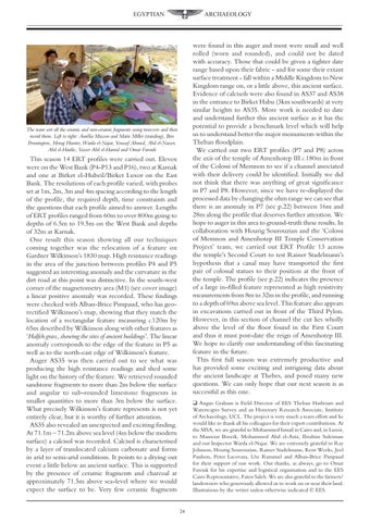
The team sort all the ceramic and non-ceramic fragments using tweezers and then record them. Left to right: Aurélia Masson and Marie Millet (standing), Ben Pennington, Morag Hunter, Warda el-Najar, Youssef Ahmed, Abd el-Nasser, Abd el-Hardie, Yasser Abd el-Hamid and Omar Farouk
This season 14 ERT profiles were carried out. Eleven were on the West Bank (P4-P13 and P16), two at Karnak and one at Birket el-Hubeil/Birket Luxor on the East Bank. The resolutions of each profile varied, with probes set at 1m, 2m, 3m and 4m spacing according to the length of the profile, the required depth, time constraints and the questions that each profile aimed to answer. Lengths of ERT profiles ranged from 60m to over 800m going to depths of 6.5m to 19.5m on the West Bank and depths of 32m at Karnak. One result this season showing all our techniques coming together was the relocation of a feature on Gardner Wilkinson’s 1830 map. High resistance readings in the area of the junction between profiles P4 and P5 suggested an interesting anomaly and the curvature in the dirt road at this point was distinctive. In the south-west corner of the magnetometry area (M1) (see cover image) a linear positive anomaly was recorded. These findings were checked with Alban-Brice Pimpaud, who has georectified Wilkinson’s map, showing that they match the location of a rectangular feature measuring c.120m by 65m described by Wilkinson along with other features as ‘Halfeh grass, showing the sites of ancient buildings’. The linear anomaly corresponds to the edge of the feature in P5 as well as to the north-east edge of Wilkinson’s feature. Auger AS35 was then carried out to see what was producing the high resistance readings and shed some light on the history of the feature. We retrieved rounded sandstone fragments to more than 2m below the surface and angular to sub-rounded limestone fragments in smaller quantities to more than 3m below the surface. What precisely Wilkinson’s feature represents is not yet entirely clear, but it is worthy of further attention. AS35 also revealed an unexpected and exciting finding. At 71.1m – 71.2m above sea level (4m below the modern surface) a calcisol was recorded. Calcisol is characterised by a layer of translocated calcium carbonate and forms in arid to semi-arid conditions. It points to a drying out event a little below an ancient surface. This is supported by the presence of ceramic fragments and charcoal at approximately 71.5m above sea-level where we would expect the surface to be. Very few ceramic fragments
q Angus Graham is Field Director of EES Theban Harbours and Waterscapes Survey and an Honorary Research Associate, Institute of Archaeology, UCL. The project is very much a team effort and he would like to thank all his colleagues for their expert contributions. At the MSA, we are grateful to Mohammed Ismail in Cairo and, in Luxor, to Mansour Boreik, Mohammed Abd el-Aziz, Ibrahim Suleiman and our Inspector Warda el-Najar. We are extremely grateful to Ray Johnson, Hourig Sourouzian, Rainer Stadelmann, Kent Weeks, Joel Paulson, Peter Lacovara, Ute Rummel and Alban-Brice Pimpaud for their support of our work. Our thanks, as always, go to Omar Farouk for his expertise and logistical organisation and to the EES Cairo Representative, Faten Saleh. We are also grateful to the farmers/ landowners who generously allowed us to work on or near their land. Illustrations by the writer unless otherwise indicated © EES. 24