EGYPTIAN
ARCHAEOLOGY
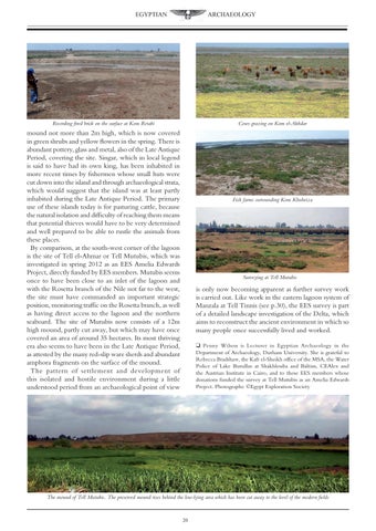
Cows grazing on Kom el-Akhdar
Recording fired brick on the surface at Kom Retabi
mound not more than 2m high, which is now covered in green shrubs and yellow flowers in the spring. There is abundant pottery, glass and metal, also of the Late Antique Period, covering the site. Singar, which in local legend is said to have had its own king, has been inhabited in more recent times by fishermen whose small huts were cut down into the island and through archaeological strata, which would suggest that the island was at least partly inhabited during the Late Antique Period. The primary use of these islands today is for pasturing cattle, because the natural isolation and difficulty of reaching them means that potential thieves would have to be very determined and well prepared to be able to rustle the animals from these places. By comparison, at the south-west corner of the lagoon is the site of Tell el-Ahmar or Tell Mutubis, which was investigated in spring 2012 as an EES Amelia Edwards Project, directly funded by EES members. Mutubis seems once to have been close to an inlet of the lagoon and with the Rosetta branch of the Nile not far to the west, the site must have commanded an important strategic position, monitoring traffic on the Rosetta branch, as well as having direct access to the lagoon and the northern seaboard. The site of Mutubis now consists of a 12m high mound, partly cut away, but which may have once covered an area of around 35 hectares. Its most thriving era also seems to have been in the Late Antique Period, as attested by the many red-slip ware sherds and abundant amphora fragments on the surface of the mound. The pattern of settlement and development of this isolated and hostile environment during a little understood period from an archaeological point of view
Fish farms surrounding Kom Khubeiza
Surveying at Tell Mutubis
is only now becoming apparent as further survey work is carried out. Like work in the eastern lagoon system of Manzala at Tell Tinnis (see p.30), the EES survey is part of a detailed landscape investigation of the Delta, which aims to reconstruct the ancient environment in which so many people once successfully lived and worked. q Penny Wilson is Lecturer in Egyptian Archaeology in the Department of Archaeology, Durham University. She is grateful to Rebecca Bradshaw, the Kafr el-Sheikh office of the MSA, the Water Police of Lake Burullus at Shakhlouba and Baltim, CEAlex and the Austrian Institute in Cairo, and to those EES members whose donations funded the survey at Tell Mutubis as an Amelia Edwards Project. Photographs: ©Egypt Exploration Society
The mound of Tell Mutubis. The preserved mound rises behind the low-lying area which has been cut away to the level of the modern fields
20