EGYPTIAN
ARCHAEOLOGY
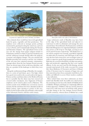
A sycomore tree sculpted by the wind at Tell Hara, near Baltim
House plans visible on the surface of Tell Nashawein
Once drained, there would have been rich agricultural lands for grain, vegetable and fruit production. The surpluses were collected at strategic points, perhaps monitored by guard posts along the waterways, and sent as tax to Rome and Constantinople during the Roman and Byzantine Empires. The agricultural towns in the area saw the change from pagan religious beliefs to Christianity and then to Islam in just four hundred years and the settlement mounds should reflect the political, economic and religious changes. The area around Lake Burullus provided rich resources and the very isolation of the area may have attracted monastic communities, amongst others, from the Late Antique Period onwards. There are diverse types of site in this area, therefore, and they are a product of the landscape in which they were built. Along the northernmost fringe of Burullus, for example, there is a series of sand dunes, up to 10m high, which have good views north to the sea and south to the lagoon. Pottery on these sand dunes dates to the Medieval Period, but it is possible that the dunes may have moved and covered earlier watchposts, since fragments of Roman amphorae can be noted at places such as Mastarua. The modern seaside resort of Baltim has covered any ancient remains, but the sand dunes here have abundant medieval Islamic pottery, again attesting to activity in this area, which was the location of the port of Paralos, at the mouth of the Sebennytic branch, until the tenth century.
Large settlements south of Burullus may have been at the edge of the agricultural lands and adjacent to waterways in order to administer and manage the areas around them. Kom Khanziri (Pachnamounis) and Kom Khawalid (Phragonis) were important bishoprics and both sites survive as tells of up to 15m high, covering an area of 25 and 65 hectares respectively. Tell Nashawein is a site which comprises two mounds, most likely originally on either side of a waterway, and Tell Foqaa, to the west, may also have had a twin town, now no longer extant, in order to supervise goods being transported northwards. Both sites are covered in fired brick, red-slip ware pottery, glass and metalwork, suggesting that they were equally affluent. In the area now used for fish farming, ancient mounds stand proud of the tanks excavated for young fish. Kom Khubeiza (13 hectares) and Kom el-Ahmar el-Ain (9 hectares) may be remnants of larger sites and they must always have been constantly wind-blown, flyridden and difficult to access if their modern condition is any indication. More isolated than even these settlements are those inside Lake Burullus itself. Accessible now only by boat, the remaining ancient sites at the islands of Dakhlah, Kom el-Akhdar, Mehgara and Singar are surprisingly different in their appearance. Dakhla is a flat area of mud, almost at water level, with some traces of red brick walls, pottery and glass dating to the Late Antique Period (fourthseventh centuries), whereas Kom el-Akhdar has a small
Sandhill and grass-covered dunes at Mastarua 19