EGYPTIAN
ARCHAEOLOGY
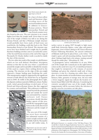
Late Period ceramics found in the upper layers of Area B
by a layer of clean yellow sand and limestone chips: revealing traces of the ancient foundation trench. In addition to GraecoRoman pottery, Third Intermediate Period and Late Period ceramics were also found in this area. The new structure is on a much higher level than the temple itself. Given that it is not clear if the temple of Bastet was still in use during the Roman Period, and that a Ptolemaic temple structure would probably have been made of hard stone not mud-bricks, the building could date back to the Third Intermediate Period or Late Period. The structure may never have been finished and it might also be possible that these building activities came to an end in the course of the Second Persian invasion at the end of the reign of Nectanebo II. Clearly, further work is needed to clarify the date of this structure. The two other sites south of the temple revealed features which are less well defined. Herodotus’ description informs us that this was the area where a canal flowed around the temple and it is possible to identify the remains of this canal in a region where nothing showed in the scanning. The structure on the edge of this area might represent a barque landing quay bordering the canal. This interpretation might be supported by the significant amount of dark alluvial clay found here by an Egyptian team in 2008. As visible in the photograph above right, this deposit combines material of different colours. Further south, initial ground-truthing revealed parts of Late Period and Graeco-Roman houses; the date suggested by ceramics and small finds. This settlement would thus extend beyond the presumed canal and outside the sacred area surrounded by a massive enclosure wall. Future excavations should elucidate further aspects of this area, and fill the topographical gap between the newly discovered settlement and the temple of Bastet. The area east of the temple has never been excavated but substantial remains of a massive temple enclosure wall, probably built by Nectanebo II, are still visible today. A
Different kinds of alluvium clay south of the temple, possibly indicating the existence of an ancient canal
surface survey in spring 2007 brought to light many small finds (terracotta figures, coins, glass and pottery fragments), most of them dating to the Graeco-Roman Period. Following Herodotus, the ancient settlement of Bubastis itself must be placed here, as he writes: ‘The temple is square, each side measuring a furlong. A paved road of about 3 furlongs length leads to the entrance, running eastward through the market place.’ (Herodotus II, 138) A geomagnetic survey undertaken in an area 300m east of the temple (the scanned area in the right bottom corner on the aerial view on p.17), revealed linear features that might be interpreted as the remains of ancient buildings and given the relatively small scale of these structures, it may be a housing area rather than a cult place. A certain number of circular features may represent furnaces, kilns, granaries or storage areas. An area with a lower magnetic signal may indicate the location of a buried chanel filled with Nile alluvium. Considering the extensive unexplored zone east of the temple, further magnetometry will be necessary before the selection of specific areas for excavation can take place.
Remains of the Late Period enclosure wall q Daniela Rosenow is a member of the Tell Basta Project. She would like to thank the Egypt Exploration Society for a grant from the Excavation Fund and Neal Spencer of the Department of Ancient Egypt and Sudan at the British Museum for his help and advice in the preparation of the English text. Photographs: The Tell Basta Project. Scans by the Institut für Geowissenschaften, University of Potsdam.
Magnetometer scan of an area south of the temple, possibly showing a barque landing quay 18