1 minute read
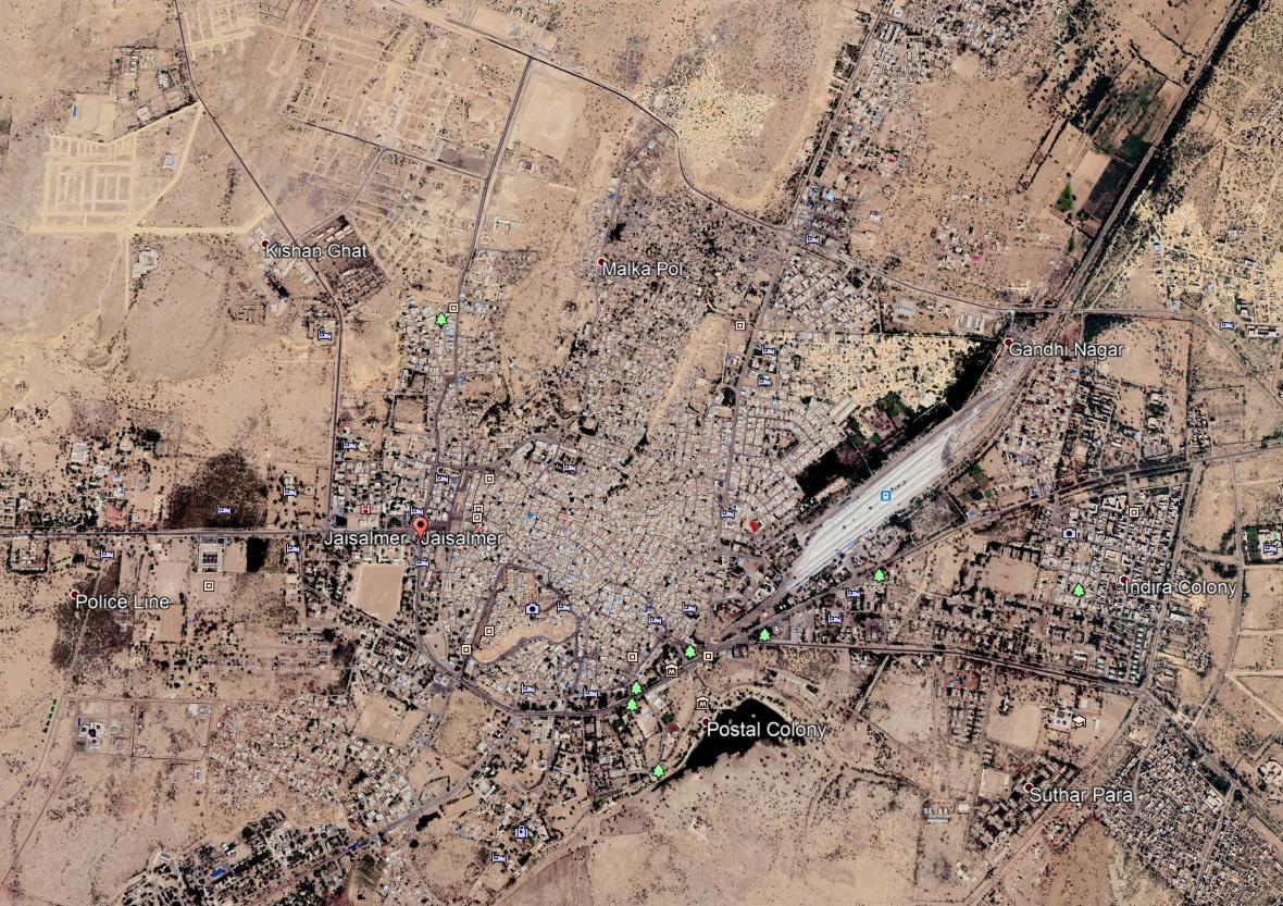
Figure 13 Satellite image of Jaisalmer city 2021


Figure 13 Satellite image of Jaisalmer city 2021 Source- https://www.google.com/intl/en_in/earth/
Advertisement
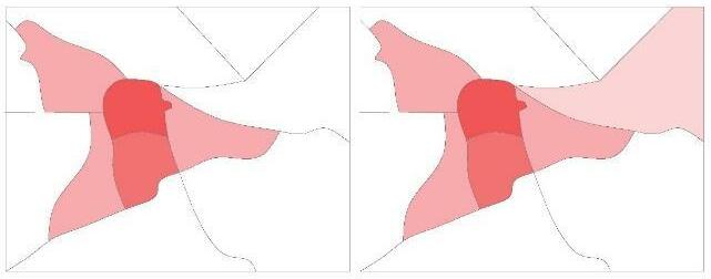
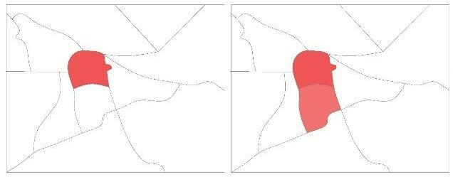
Figure 9 Evolution of Jaisalmer
The city has evolved over the years in different phases and different time period as shown in above plan. The city starts evolving from the fort area later extended to its northern region and later on keeps expanding as per requirement of city.
Due to its geographical location Jaisalmer has been a center of security forces due to only big city in the region and near to line of control. During the British rule, the region flourished a lot and development was at the peak at that time period.
3.4 Flora and fauna
Main minerals found in Jaisalmer are yellow stone, multani mitti, gypsum, limestone, geru, phosphorus, oil and natural gases. Due to this bad terrain there is almost no forest area in the district. Mostly babool (acacia), kumat (gum arabica), rimariya, jal, khejdi, ber etc. trees are commonly found. In the category of shrubs aakada, fog, buadi, tushar etc. are found. And in the category of grass seven, lap, dhaman, ganhit are mainly found in this area.
The farming in this area is totally depended on the rain. Main crops of the district are bajra, juvar, mung-moth, til, guvar, etc. due to sufficient water of Indira Gandhi Canal ruby crops are also grown nowadays. In the field of cattle farming mostly cows, goats, sheep’s, camels are kept. Camels are also known as the ship of the desert.
Chapter 4: Present day scenario


