9 minute read
Urban Storytelling

from XueGao_2020_Selected Work
by xgao01
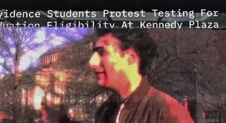
Urban Storytelling Rebuild The Understanding Of Place Via Immersive Narrative Thesis
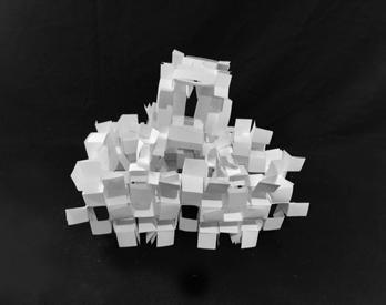
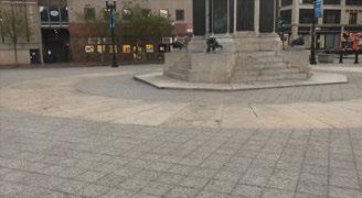
Location: the Parking lot of the BEB, Providence, Rhode Island Date: 03/ 2020- 05/ 2020 Type: Individual Work Instructor: Micheal Blier My thesis explores hyper-reality, in this case, manifest through virtual reality and augmented reality. Storytelling of individual city readings and experience was used as a method of place reading and making. Recognizing a certain sense of placeness caused by conditions of globalization and massive urbanization, this work explores meaningful ways to help rebuilding new senses of place.
Advertisement
Practices of storytelling have been used in landscape architecture with varying degrees of success. More conventional analyses of stories used in spatial practices, eventually flatten them in statistical data and keyword entries as means to sustain designer-drive, rather than userdriven, approaches to place making and rebuilding, resulting in places which do not support public collective imagination.
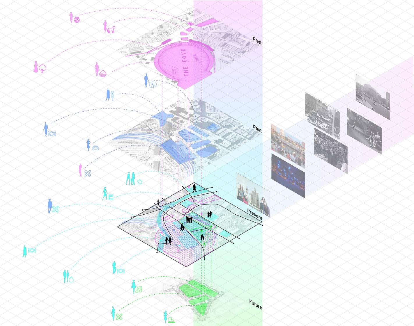
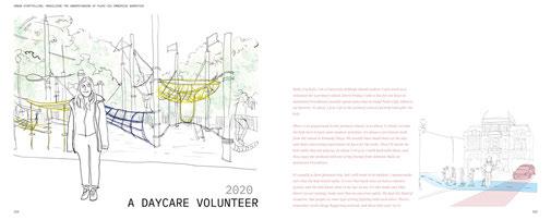
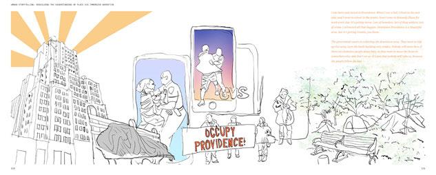
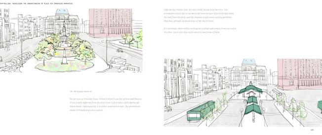
This thesis asks whether the current dominant narrative environments are inclusive enough for the subjectivity of place. Can ordinary people tell their stories through the media we currently have available? Is there a possibility to develop a system to collect, analyze, and tell the stories of a place from the perspectives of individuals or specific communities? How could an immersive experience contribute to the storytelling process? Will hyper-reality storytelling enrich people’s understanding of a place? Could the new storytelling platform be a communication tool among the public, government officials, and the designers in the place-making process? I explores Providence’s iconic public space and foregrounds the confluence of many stories about the city and its distinct communities.
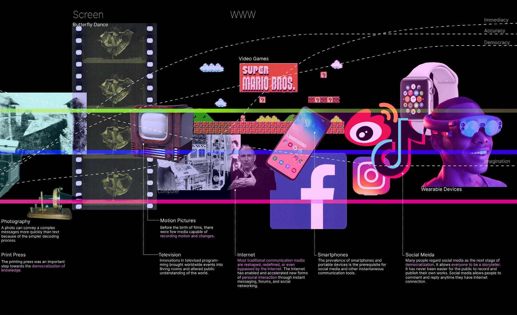
ENVIRONMENT CONSTRUCTION ACCESSIBILITY TRAVEL METHOD IMMERSION
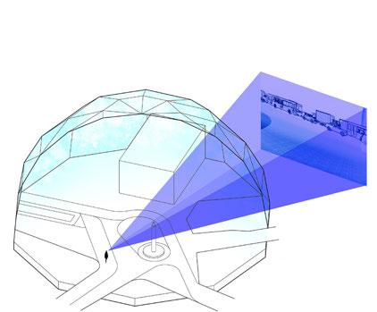
Because virtual reality is purely a simulation, there is no other work to be done after completing 3D modeling and animation. Where users are allowed to travel is flexible. The creator can control where users can and cannot go by setting the navigation boundaries. This is a way to ensure users are within the storylines. There are multiple ways to travel through the virtual environment. Users can physically walk, as well as teleport, from one location to another. Virtual reality is usually experienced indoors. Because the system is enclosed, the immersive experience can be enhanced with advanced technologies like spatial audio and smell releasers.
In order to match the virtual models with the real world, 3D camera tracking needs to be done no matter if it is displayed by a headset or a mobile device. It costs a lot in terms of money, time and labor force. Where users can travel in an augmented environment is shaped by the current condition of the site. For instance, users cannot reach where originally was a bridge but is now a waterbody. Reversely, they can stand on solid ground where there was water. People cannot teleport themselves in an augmented environment. If a story relies on communicating with locales that are long distance to each other The influence of physical reality cannot be avoided in an augmented experience. One most obvious interference is that what’s already on-site cannot be demolished.
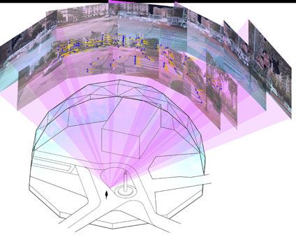
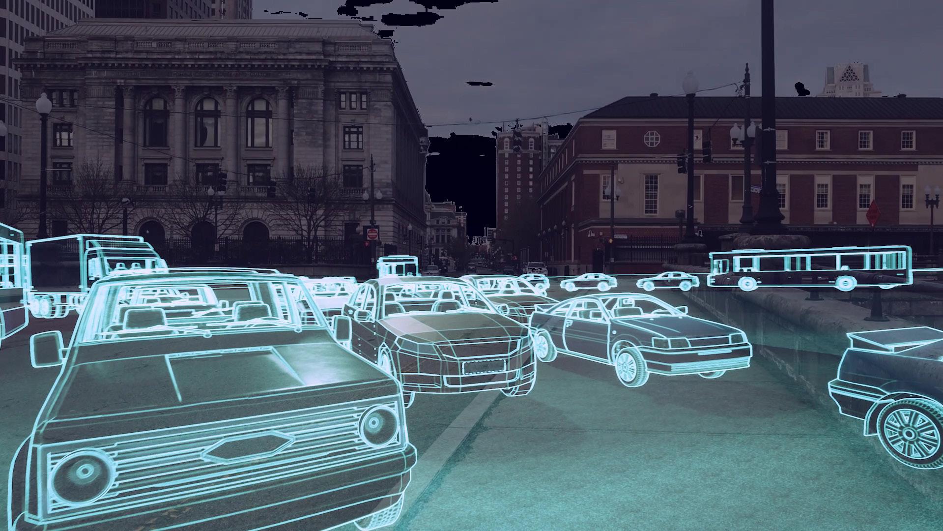
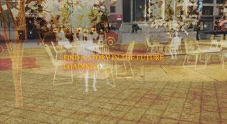
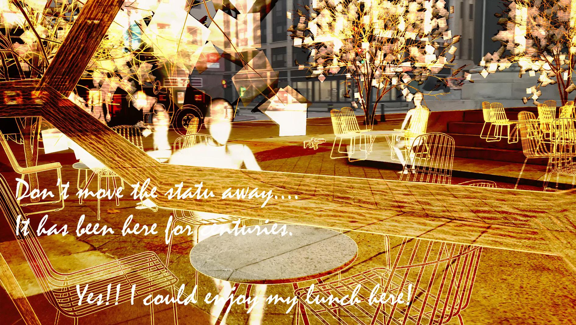
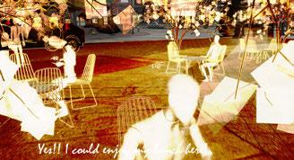
The AR platform is more flexible. In terms of information collecting, there is no extra work of translating people’s stories, which makes the stories more believable. The largest advantage of AR is comparison. It blurs the lines between the past, present and future, allowing interpretation of the development of the city from a whole new perspective by experiencing all the stories through the platform.
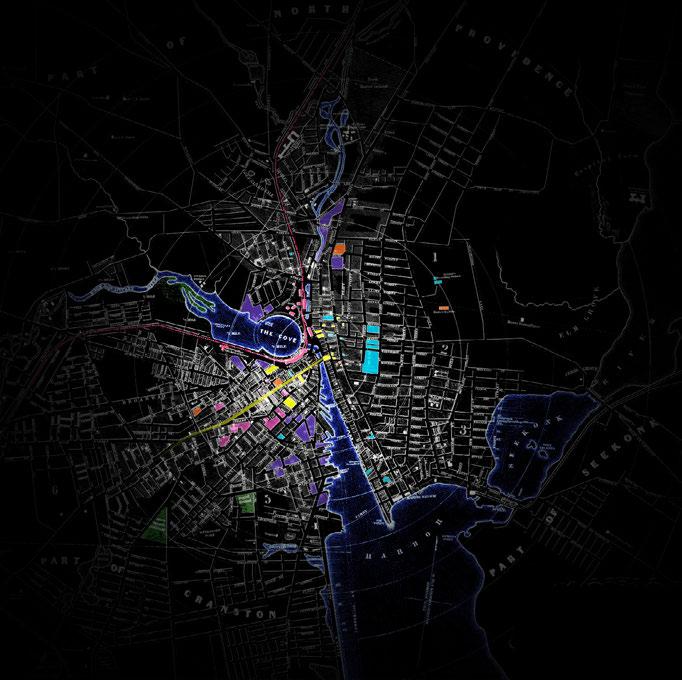
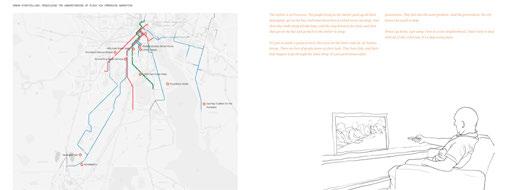
Development of Downtown Providence (1849-2020)
1908
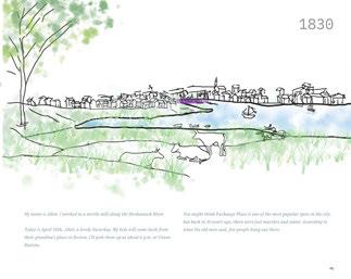
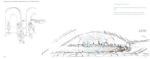
The Great Salt Cove was an important resource for the early settlers in Providence. It was a food source, habor, and provided ecological services like flood protection and agricultural land. However, as railroad transportation became more important in the mid-19th century, the old Union Depot was established, and the basin was shaped elliptically to give more space to the railroads. Methods of transportation in the city became abundant. Rings of trolley cars covered the city. The cove was filled in due to pollution and the increasing demand for railways in 1868. After the old depot was burned, a new and larger Union Station was built right on top of the fill. 1937
Downtown Providence flourished as more immigrants were attracted to the jobs provided by local industries. Public transportation was in high-usage before highways were constructed and the prevalence of personal vehicles. The river channel between Market Square and the court house was covered by roads.
Downtown Providence flourished as more immigrants were attracted to the jobs provided by local industries. Public transportation was in high-usage before highways were constructed and the prevalence of personal vehicles. The river channel between Market Square and the court house was covered 1996
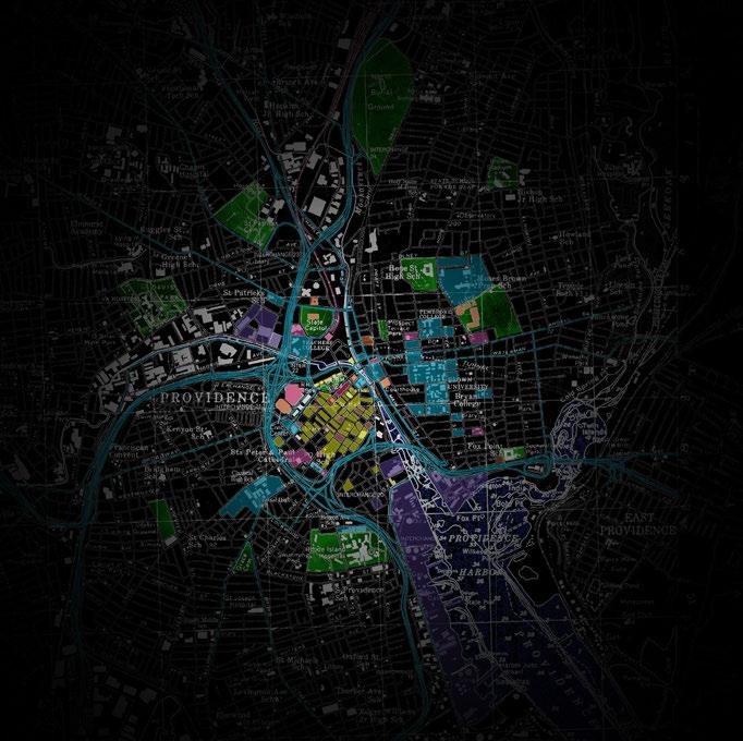
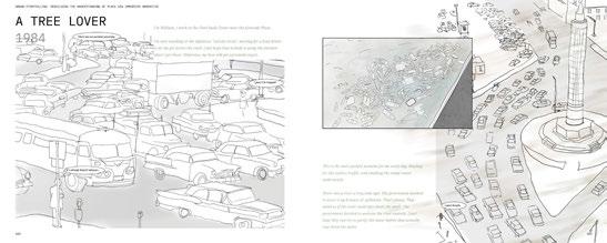
Massive highways were constructed, including the I-195 and I-95. To free up land for viaducts, a new train station was built across Gaspee Street from the Rhode Island State House in 1986. Kennedy Plaza became a bus station. The Providence River was partly uncovered thanks to the River Relocation Project. Riverwalks and Waterplace were built to revive the spirit of the river. 2020
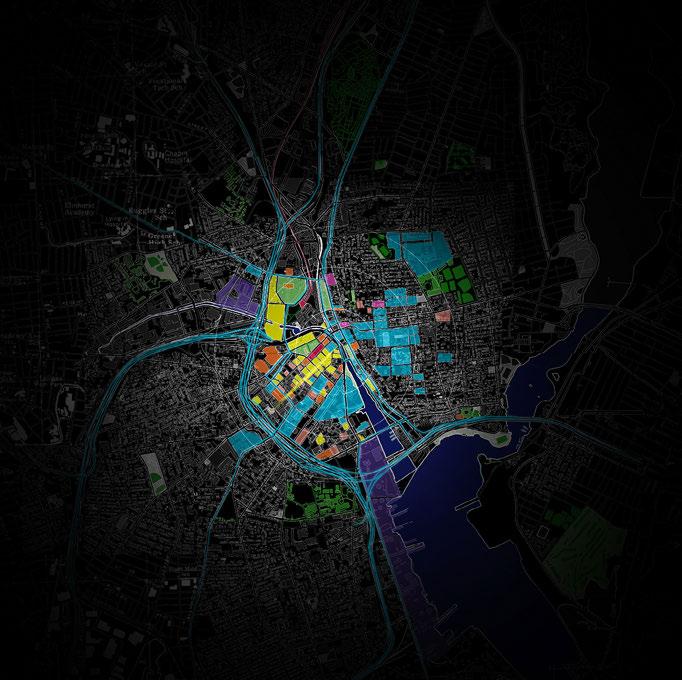
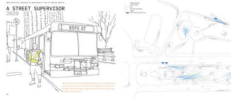
The largest shopping mall, the Providence Place Mall, was built in 1999. I-195 was torn down in 2010. Except for the financial district, areas like the jewelry district were also under redevelopment. A new Brown University campus and apartments were built in the jewelry district.
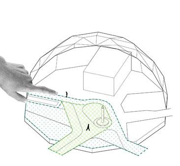
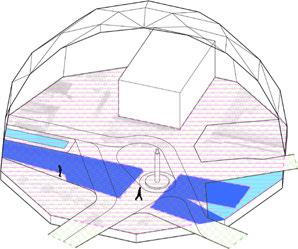
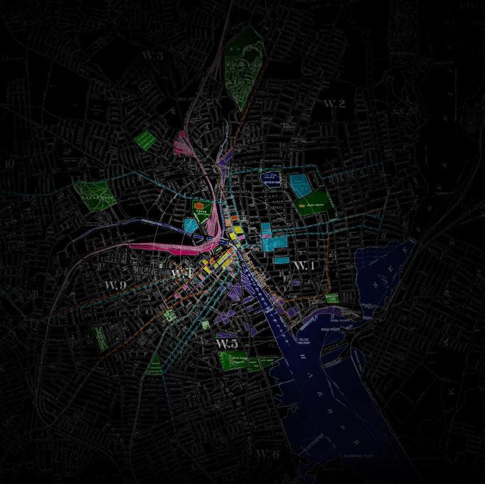
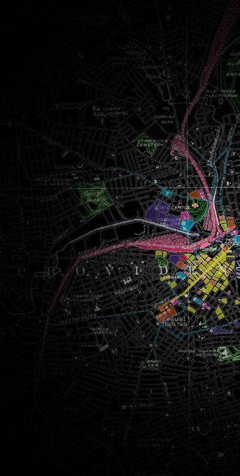
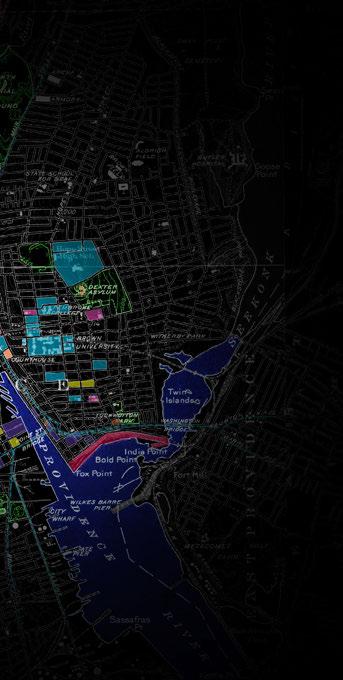
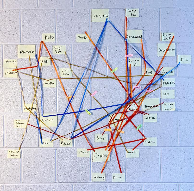
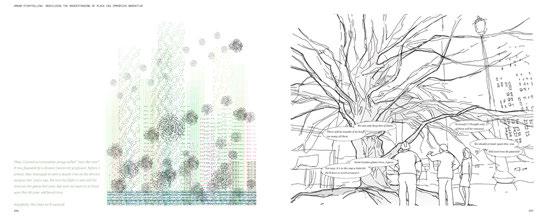
The story mapping contains all the stories I collected from local newspaper, local chronicles, biographies and interviews on site. In this map, each line stands for a person. By abstracting the themes and keywords, two pairs of conflicts can be observed: nature preservation v.s. urban development, which has existed since its establishment, and recreational space v.s. transportation hub, which is one of the biggest problems Kennedy Plaza is facing now.
Because of most of the stories are verbal, virtual novels help me to think about how to translate these stories into spatial experiences that people could see, listen, and have motions.

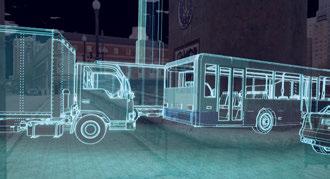

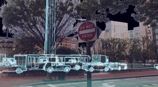
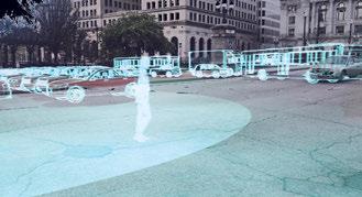
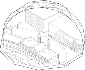
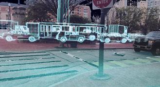
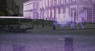
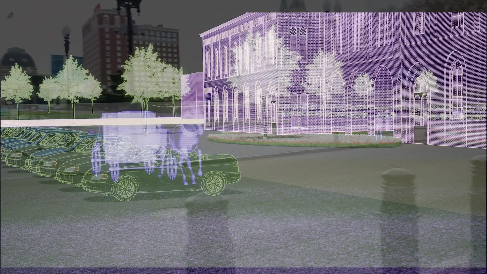
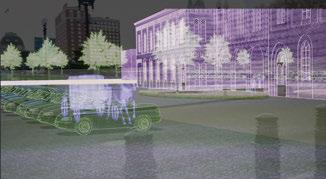
HISTORY REAPPEARANCE: THE SUICIDE CIRCLE
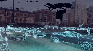
By crossing the road by themselves, hopefully people will understand how people in 1980s felt about the traffic congestion, and why Memorial Square was finally torn down. Watch the full video at: https://youtu.be/WuMRupWo-iY
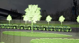
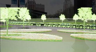
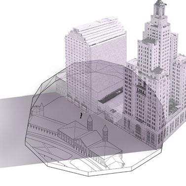
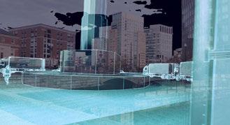
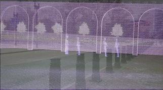
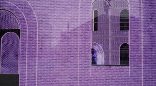
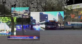
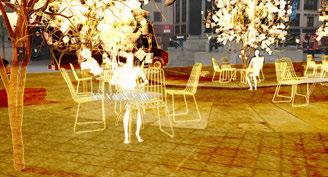
HISTORY COMPARISON: EXCHANGE PLACE
By comparing Exchange Place in the 1860s and 1960s, people would gain a sense of how the transportation method in the city affected the space and usage of Kennedy Plaza.
Watch the full video at: https://youtu.be/njK6pw99aZQ

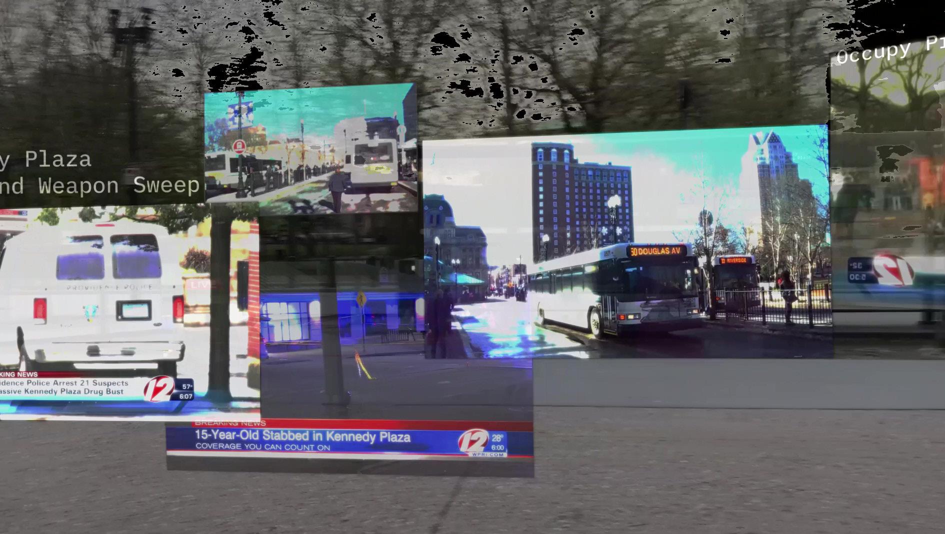
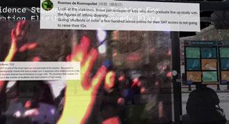
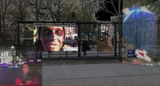
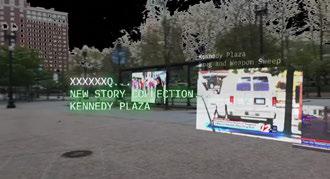

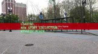
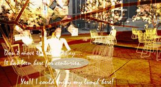
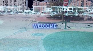
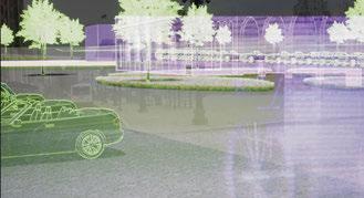
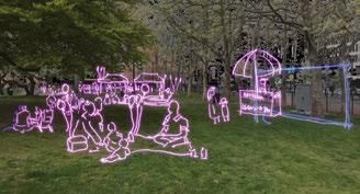
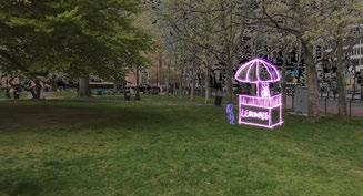
LOCATIVE SOCIAL MEDIA: VIEWING THE STORIES SHARED BY OTHERS
Presenting stories without prejudgement is the key to how locative media works.
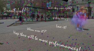

Watch the full video at: https://youtu.be/rsJb1K4bW1s
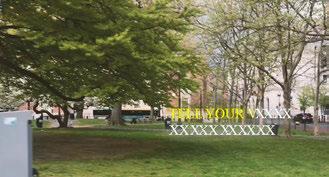
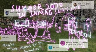
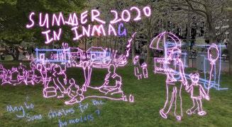
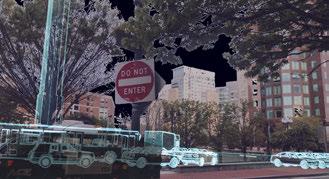
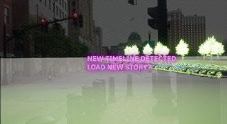
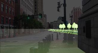
TEST AND ENVISION: A PROPOSAL
Designers can develop and revise their design according to feedback from the public.
Watch the full video at:
https://youtu.be/2RyYHrTy5xo