4 minute read
Travel Demand Model


3
STREETS
Advertisement
“LOS A” is the best operating condition, with a free flow, in which there is little or no restriction on speed or maneuverability. At intersections, there is little or no delay. “LOS B” represents a condition of stable traffic flow, but speeds are slower. Short traffic delays occur at intersections. “LOS C” is still a condition of stable flow. However, most drivers are less able to drive at the speeds at which they feel comfortable, and they find it difficult to change lanes or pass other vehicles. Intersections experience average traffic delays. “LOS D” approaches unstable flow. Operating speeds are tolerable to the driver, but are subject to considerable and sudden variation. Freedom to maneuver is limited, and driving comfort is low, as the probability of accidents has increased. Long traffic delays are experienced at intersections. “LOS E” represents a maximum roadway capacity for vehicles. Traffic is unstable, speeds and ease of driving fluctuate, and drivers have little ability to select speed or maneuverability. Driving comfort is low, and accident potential is high. Vehicles are close together, and speeds can fluctuate quickly. Very long traffic delays are experienced at intersections. “LOS F” is the worst operating condition. Speed and rate of traffic flow may drop to zero for short time periods. Extreme delays are experienced at intersections. This may cause severe congestion, affecting other adjacent roadways.
TRAVEL DEMAND MODEL
The City of Franklin’s new Travel Demand Model, which was used to create the level of service maps is essentially a more detailed version of the Nashville Area Metropolitan Planning Organization’s (NAMPO’s) regional travel demand model (TDM) within the city limits. The extra detail is attributed to the inclusion of smaller, sub-regional city roads, and the addition of the future projects, not currently identified in NAMPO’s 2040 regional model. Using the NAMPO’s travel demand model as a base for Franklin’s model, allows the City to achieve an improved connection to the regional model. It also provides for streamlined incorporation of city projects into the federally adopted regional travel model. The NAMPO’s 2040 regional model began development in the summer of 2013 and will be one of the tools used to update the NAMPO’s 2040 Regional Transportation Plan. The model will also be used to support many of the NAMPO’s sub-regional studies and other planning initiatives. As is usually the case with model updates, the NAMPO’s model contains a variety of new features when compared to previous versions. Not only does it include a new graphic user interface, the model also includes the following enhancements: • An all-road network • A population synthesizer • A vehicle-ownership model • New trip purposes • An integrated mode-choice model • A destination-choice model for passenger trips • A freight model It should be noted that, at the time the City’s Comprehensive Network Transportation Plan commenced, NAMPO staff was still making final touches to their model. Therefore, the model version used for this
study (May, 2014), may not be the most current version. For a more comprehensive description of NAMPO’s model enhancements, refer to the Travel Demand Model Development and User’s Manual - which can be obtained by contacting NAMPO staff.
MODEL YEARS
The table below provides a list of model runs used to provide a basis for initial roadway network analysis and to help foster discussion on futureyear projects. The years listed below are consistent with the NAMPO’s regional model years.
Base Year Existing + Committed (E+C) Future Years
2010 2015 2020 2040 2030
2040
Base Year Networks models are used to compare model results with historic traffic counts. It also helps to calibrate and validate the model. In other words, the Base Year model is the foundation for future year model networks (i.e., 2020, 2030, and 2040). Therefore, if something changes in the base year network, that change will need to be added to all future year networks. Existing + Committed Networks are base year networks (existing) plus the addition of imminent projects (committed). Committed projects, in other words, include projects that are far enough along in the development stage that there is an almost 100% likelihood of its completion. In most cases, committed projects have some amount of construction funding programed at the time of the travel model development, so there is a low probability that these projects would not be built. Figures 3.3 and 3.4 depict LOS for the existing street network for the AM and PM peak times, respectively. The purpose of E+C networks is to answer the question, “What would our transportation network look like in the future if we finished our committed projects and then stopped building?” In other words, as population and employment continue to grow, E+C networks help identify the location of network deficiencies and predict how far in the future these deficiencies will begin. Figures 3.5 and 3.6 depict how the street network would function in terms of LOS in 2040 if no additional roadway improvements were made to accommodate projected employment and population growth. Future Year Networks are a combination of the base year network and proposed projects. Based on the analysis of the E+C networks, projects are added to the existing network to address the deficiencies shown in the E+C network. As previously eluded to, these deficiencies will appear at different times during the Plan’s timeframe - so it is important to incorporate (or prioritize) these new projects in the appropriate horizon year.
STREETS 3
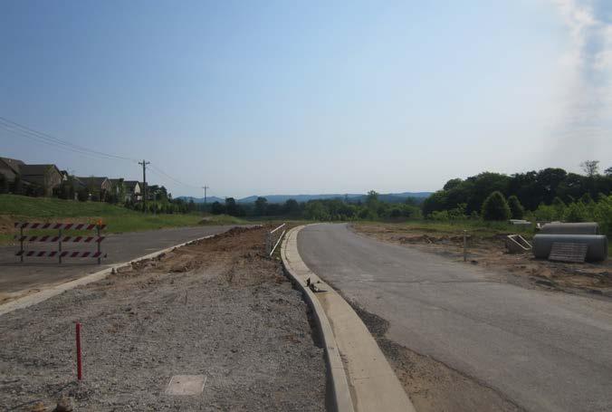
Although Carothers Parkway (Long Lane to Falcon Creek) was under construction during the planning process, it was included in the model for the 2015 planning year because of its eminent opening.


