1 minute read
Land use analysis


I used Urban Footprint software to analyze the land use in Naperville. The results showed the dominance of single-family houses scattered all around. However, multi-family houses are considerably infrequent and are distributed largely closer to retail and commercial markets. On the other hand, the retail and commercial sectors are concentrated on the North-west side, which shows that commercial activity is largely restricted to one side of the city. The schools were evenly distributed throughout the city which ultimately matched the distribution of (single family) housing. However, hospitals that should be ideally accessible to all segments of the population could be found just in the middle of the city. However, more parks can be added to utilize open space.
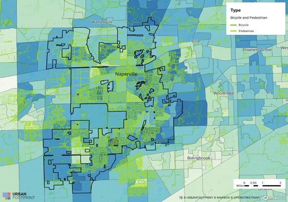
The close examination of bicycle and pedestrian pattern showed that the city in fact promotes healthy lifestyle because it had an efficient network of walkways which allow people to move within the city. The map shows that the city is interconnected in this regard.
Advertisement