1 minute read
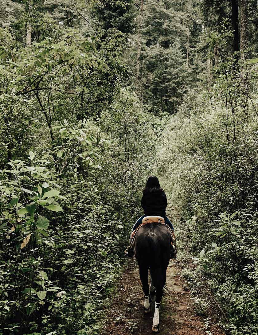
Horse Trails


This 8-mile trail passes through the forests and farms of Oconto County between the communities of Oconto and Stiles Junction. Trail Width: 10 ft - There is no fee to ride the trails FACILITIES: Truck and trailer parking at Military Road location only. There is no parking in Oconto. DIRECTIONS: (from Green Bay) Take Hwy 41 N to Hwy 141 N. Exit Hwy 22 and turn right. Follow for .1 mile. Turn right on Military Rd. Follow for .25 mile. Immediately you will see a blacktop parking area
MACHICKANEE FOREST
Advertisement
25+ miles of clearly marked horse trails Trail width: 10 ft - There is no fee to ride the trails FACILITIES: Truck and trailer parking available at two parking areas. Pit toilet at Timberline Parking Lot. Parking is also available on the wide shoulder of the road at the intersections of Brehmer Road and W. Stiles Tower Road. The Outback Riders (OBR) hitching post, mounting rocks and information kiosk are available at the OBR Trail Head! Camping is allowed with a permit. There are 13 campsites located in the Machickanee Forest. Contact (920) 834-6995 - Oconto County Parks & Forestry Department for more camping information. DIRECTIONS: (from Green Bay) Take Hwy 41 N to Hwy 141 N. Go west on County Rd E. Follow for 2.8 miles. Turn right on Brehmer Rd. Follow for 3 miles. Turn right on Timberline Rd. Immediately on the left you’ll see Outback Riders sign. Follow dirt road (CFR 104) to trailhead.
MARANATHA TRAIL
This trail system is open to the public and features a system of interconnected loops. The difficulty level is intermediate to difficult. DIRECTIONS: From Langlade, follow State Highway 55 about 4 miles north to Sawyer Lake Road (FR 2122). Turn right onto Sawyer Lake Road and go east and north about 2 miles. The parking area is on the right (south) side of Sawyer Lake Road. There is space for approximately 6-8 cars.


