St Vincent and the Grenadines 150 square miles Highest point: La Soufrière, 4,049 feet
mbrand85/Shutterstock.com
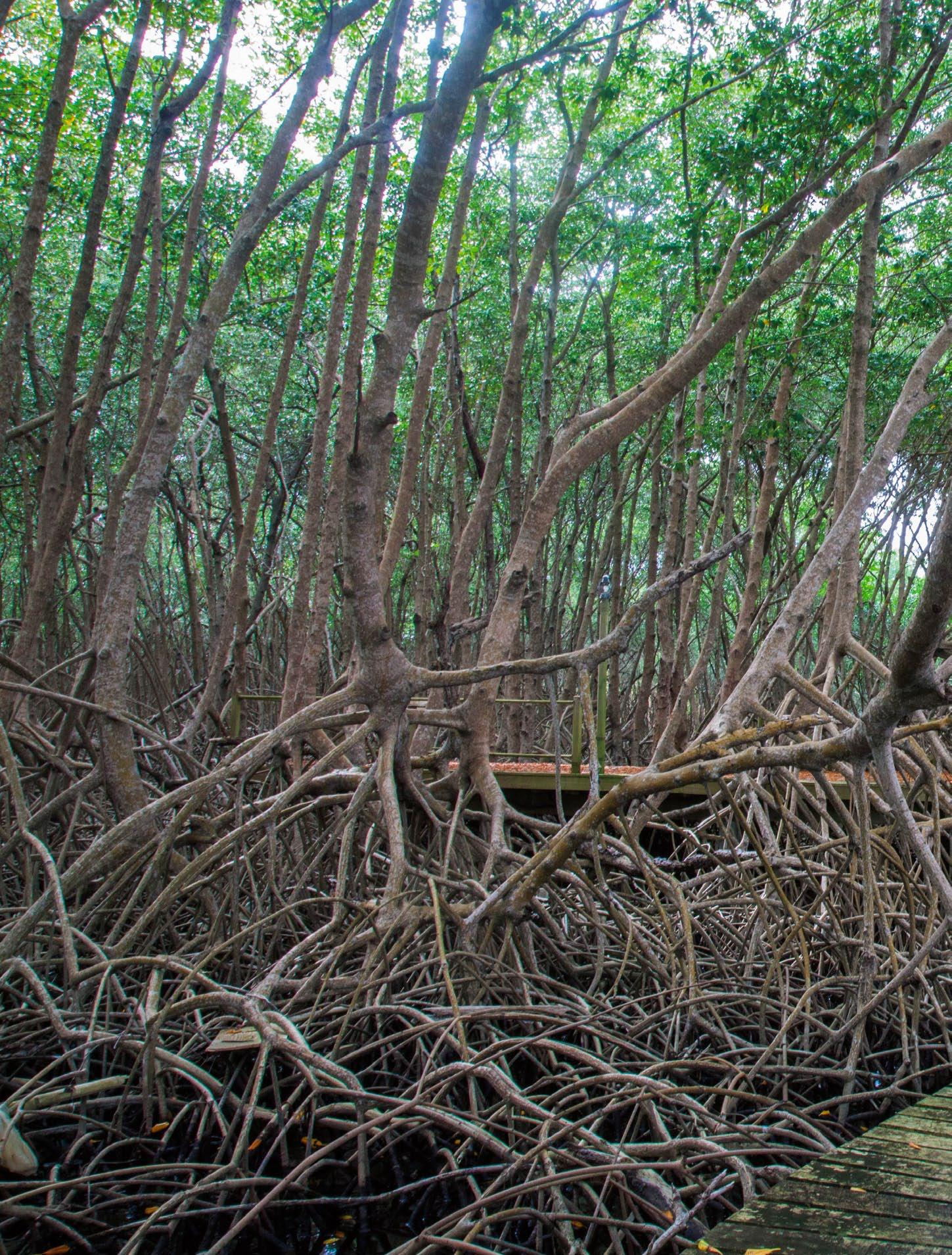
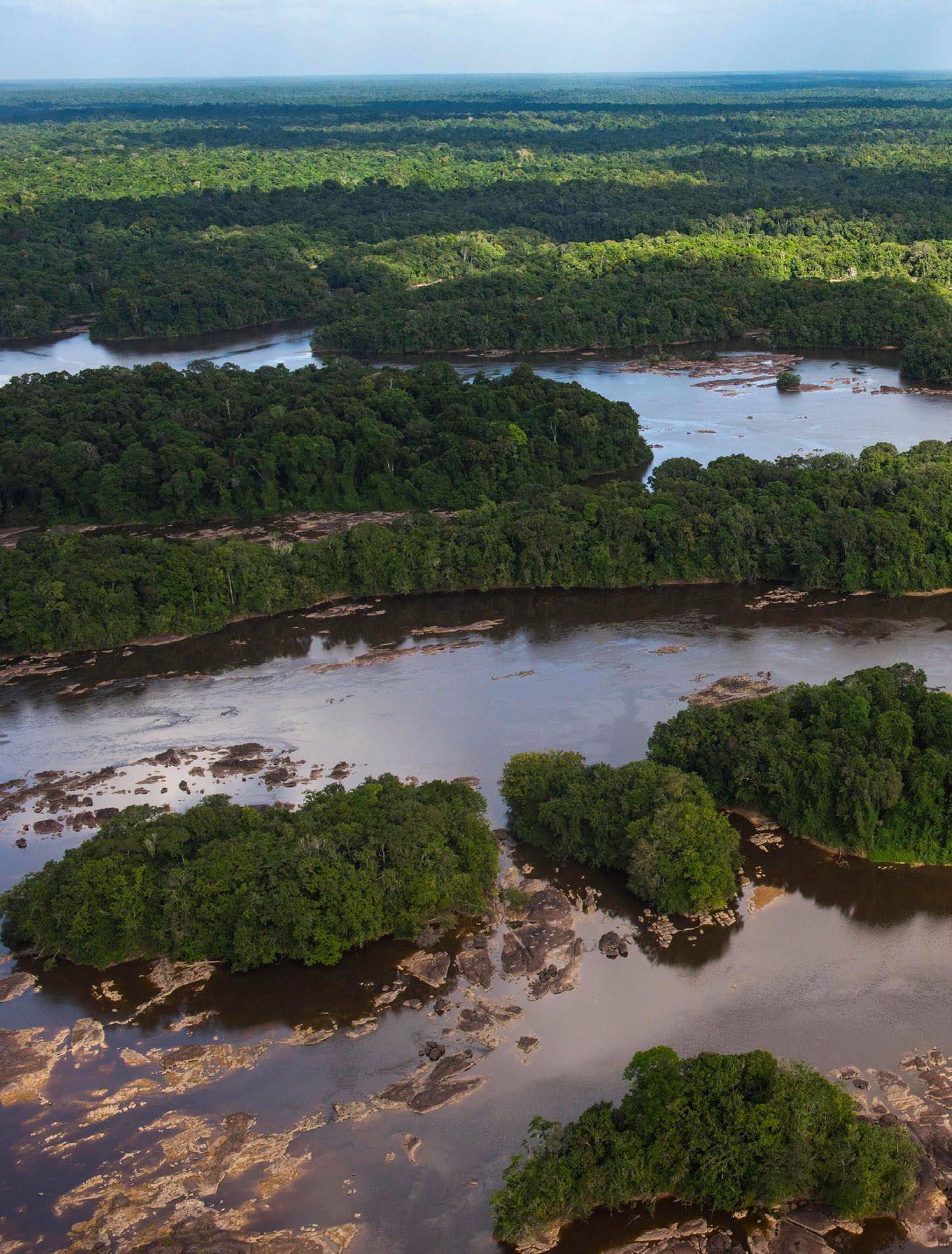
Dominating the northern end of St Vincent, volcano La Soufrière last erupted in 1979, but in recent decades it’s kept quiet. And a hike to its crater rim must be the number-one eco-adventure on the island, with two alternate routes and the payoff of a once-in-a-lifetime view. Rugged volcanic terrain is the island’s signature. You can see it in the craggy lava formations around the Owia Salt Pond, where natural tidal pools are sheltered from Atlantic breakers, and in the waterfalls of the interior valleys, like the double cascade of Dark View Falls, reached by crossing a bamboo bridge, or the triple cataracts of Trinity Falls. You can find an easier but no less rewarding hike at Vermont Nature Trail, where a guided tour introduces you to the island’s lush flora, plus a chance to glimpse the rare St Vincent parrot in its wild habitat. South of the main island, the Grenadine archipelago is renowned for its seascapes — most unforgettably, perhaps, in the Tobago Cays.
A bamboo bridge is one way to cross a rushing river while hiking in St Vincent’s hills
48
WWW.CARIBBEAN-BEAT.COM