1 minute read
ASSORTED MAPS

Maps Created In Arcgis Pro That Show Program Proficiency And Analytical Thinking
Spans from simple maps (A/B) that show the utilization of different layers and data sources, to more complex maps (C/D/E) shat show more than surface level analysis.
Advertisement
SPRING 2022
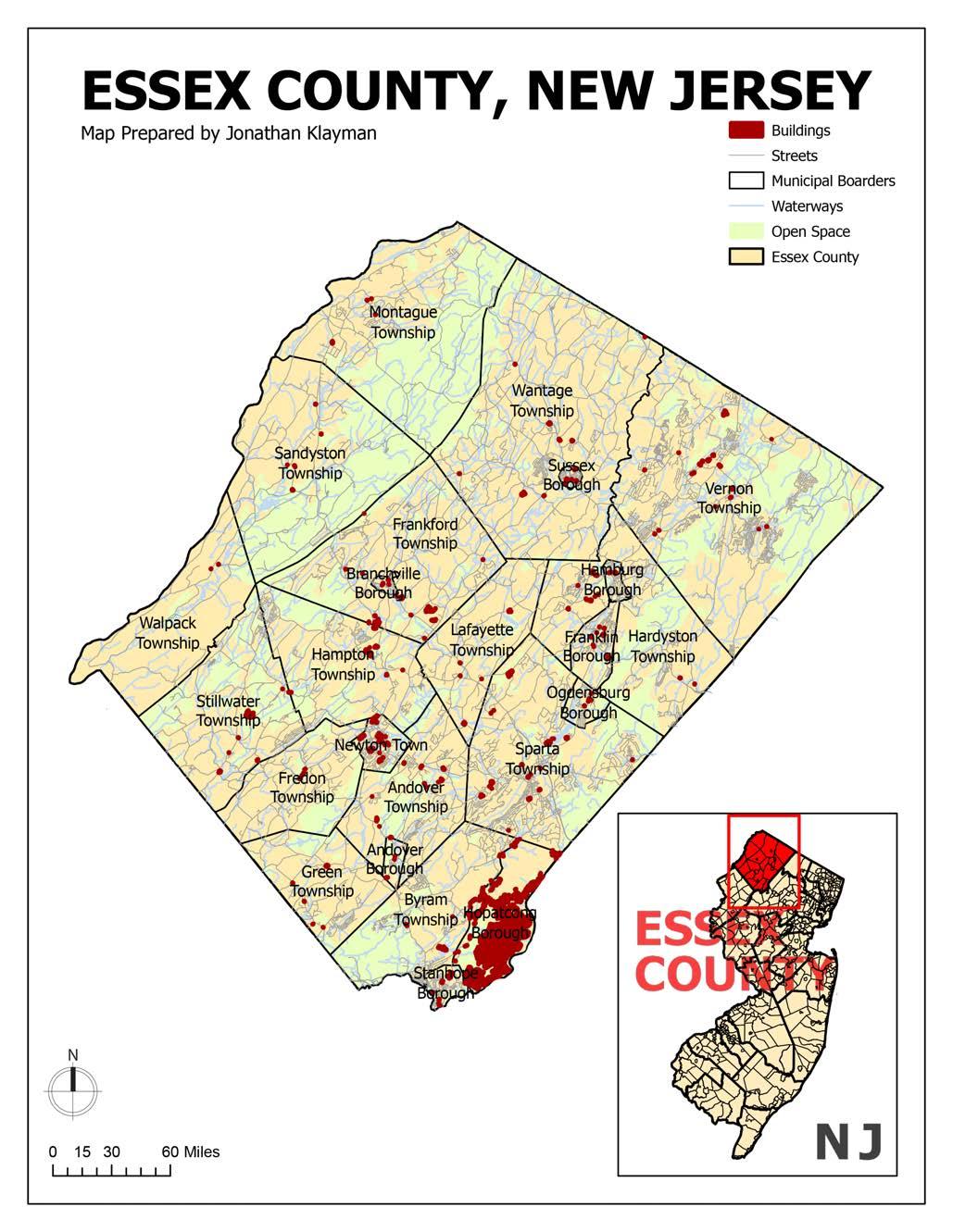
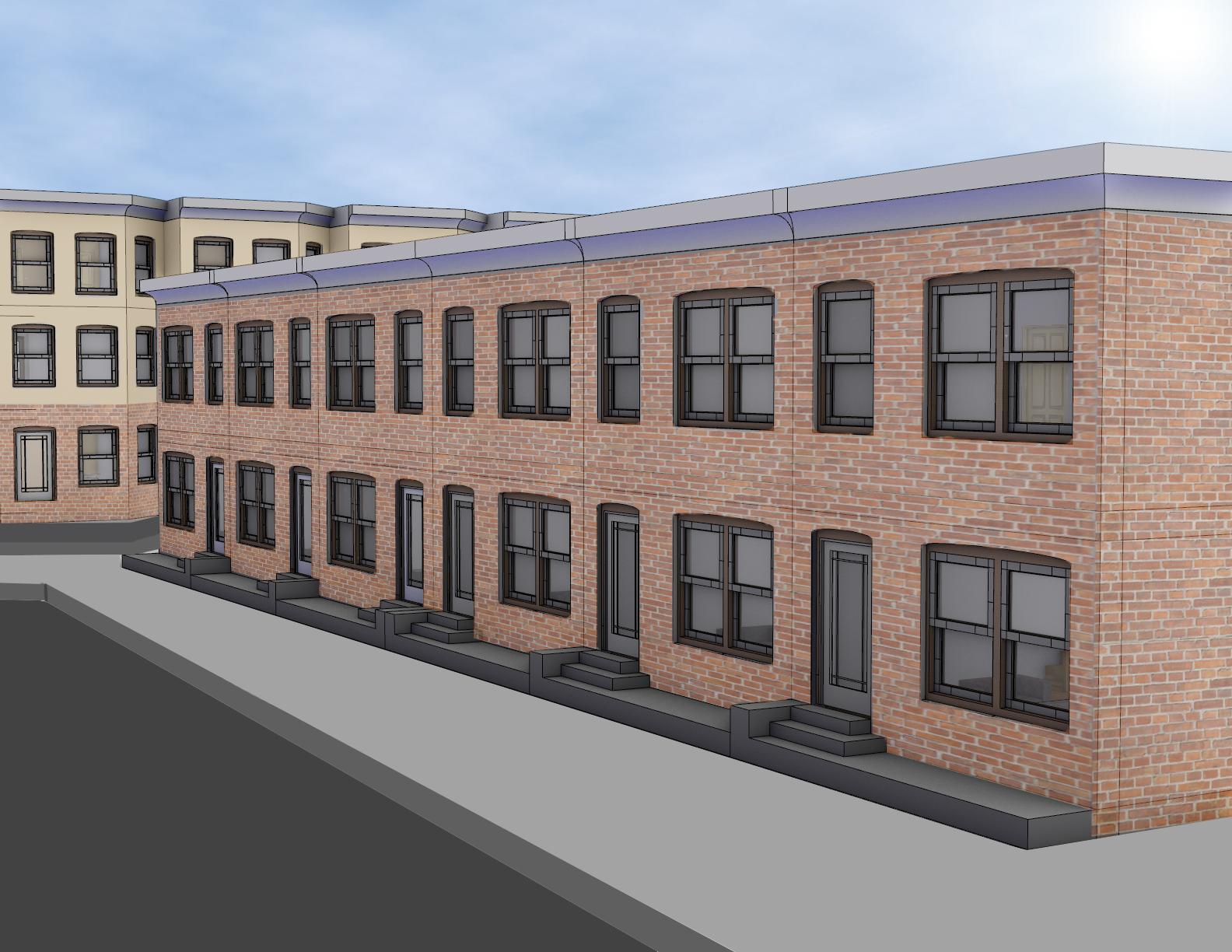
This map covers Philadelphia, PA and its surrounding counties. It then zooms into University City, centered around Drexel University’s architecture building, known as the URBN Center.

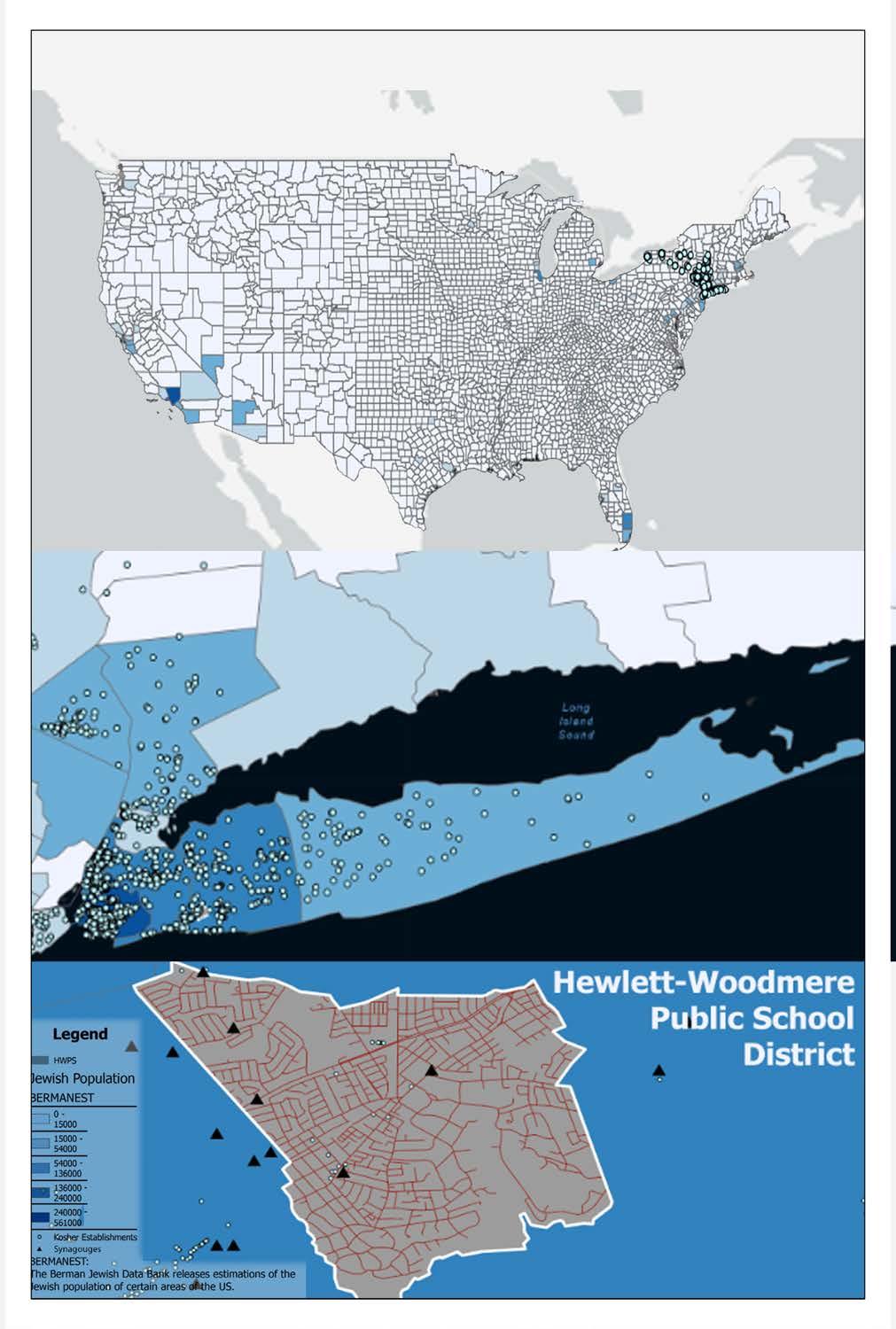
This map relates to both my ethnicity and hometown, centered on the documentation of Judaism in the Hewlett-Woodmere Public School District. Utilizing the Berman Estimation of Jewish Population, along with the locations of kosher establishments and synagouges, I showed the influence of Judaism based on all of these properties.