Eco Sustainability The Theme of this Issue FT. LAUDERDALE - ANTIBES
ANTIGUA
March 2023 #307 www.theislander.net @theislander
-
- PALMA & SPAIN - ST. MAARTEN
Seabed 2030 and the Yachting Community
LUXURY YACHTING INDUSTRY LIFESTYLE SINCE 1997
Ella Hibbert Sailing the Arctic Circle
© Katerina Funk
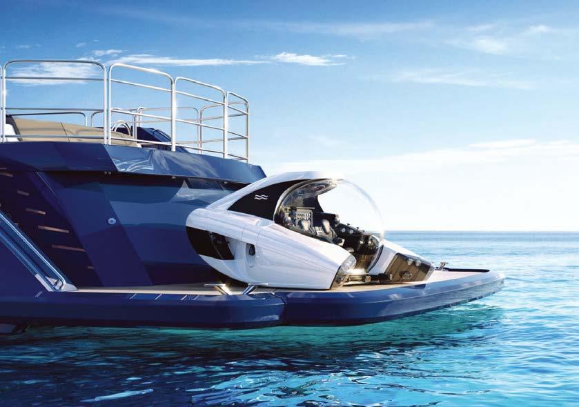
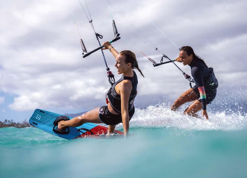
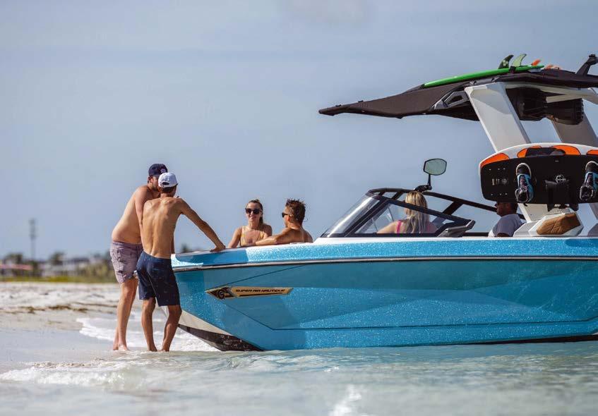
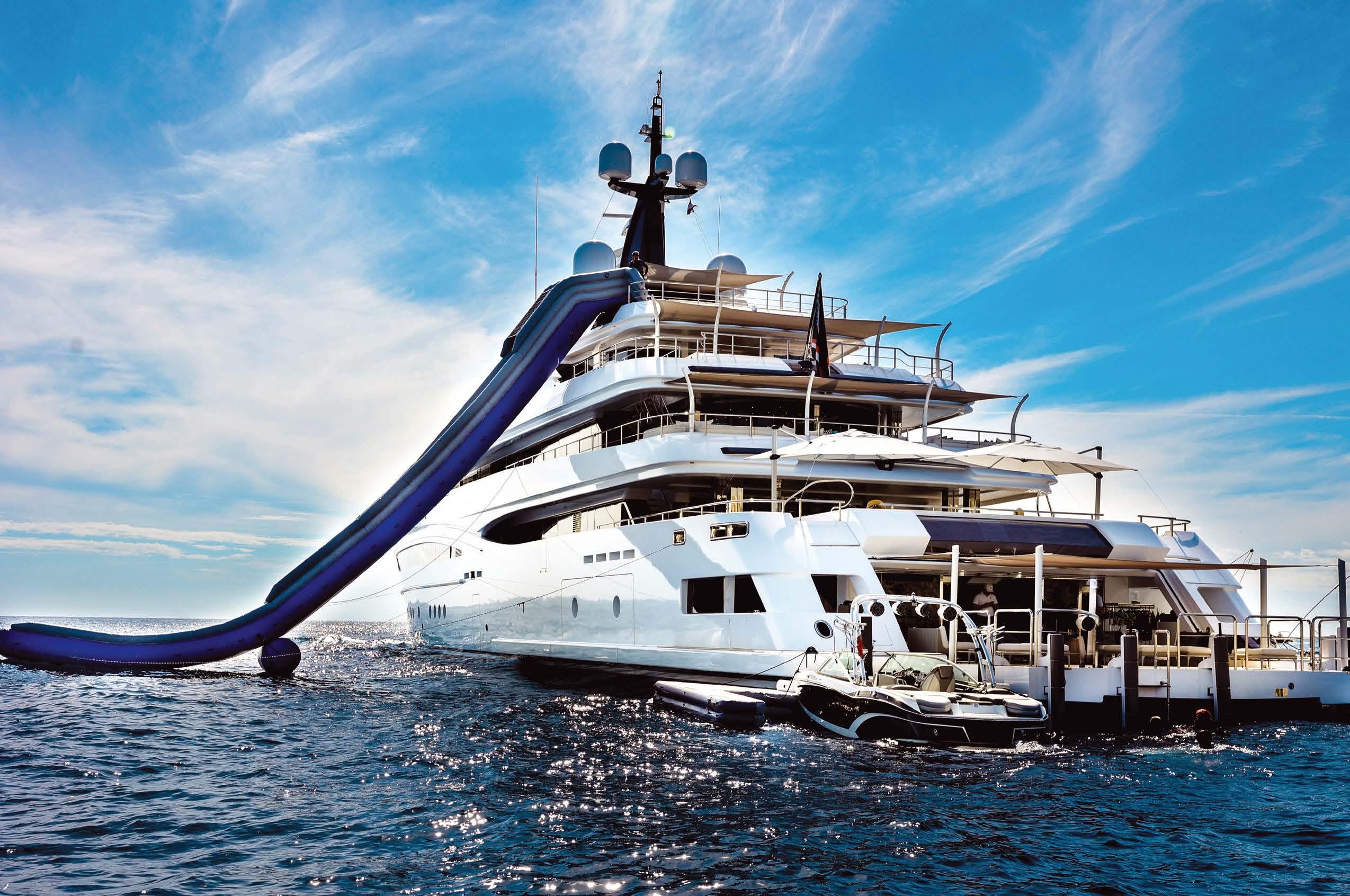
For the most fun (and relaxation) you can have, on, in and by the water, Superyacht Tenders and Toys provide everything you need, whether it be for hitting the water at speed or exploring a secluded bay. Our expert team will work with you to source exactly what you need based on your requirements, restrictions and budget.
www.superyachttendersandtoys.com



+ 44 (0) 2380 01 63 63 + 377 99 90 62 98 info@sytt.co New build supply • Tenders • Watersport toys • Gym equipment • Inflatables Beach set ups • Submersibles • Brokerage • And much more
Photo: Orca Media
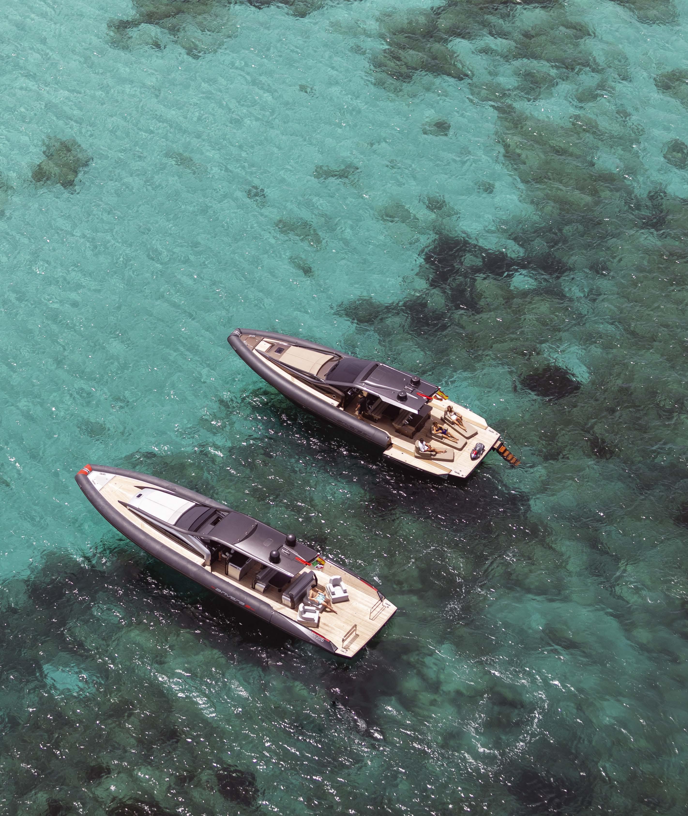
48 58 48S 42 NEW SUSTAINABLE PERFORMANCE FEEL FREE P u e r t o P o r t a l s O f fi c e B e n i t o F e i j o o 2 , L o c a l 7 , E d f M a r D e P o r t a l s , C a l v i a 0 7 1 8 , M a l l o r c a , S p a i n Te l + 3 4 9 7 1 6 7 6 8 4 5 - a n d y @ anve r a s p a i n c o m - anveraspain c o m P u e r t o B a n u s O f fi c e M u e l l e B e n a b o l a , C a s a D P o r t a l 3 , M a r b e l l a 2 9 6 6 0 , M a l a g a , S p a i n Te l +34 952 81 57 33 - a l a n @ a nv e r a s p a i n c o m - a n v e r a s p a i n c o m Anvera Spain - E x c l u s i v e a g e n t s f o r S p a i n a n d t h e B a l e a r i c NEW I s l a n d s
+34 971 694537 www.jspalma.com

info@jspalma.com

ENERGY & ELECTRICITY NAVIGATION & COMMUNICATION FLUIDS & AIR
ALARM & MONITORING HYDRAULICS & STEERING
PROPULSION & THRUSTERS
Carrer Gremi de Corredors 22 - Local 10 Polígono Son Rossinyol 07009 Palma de Mallorca
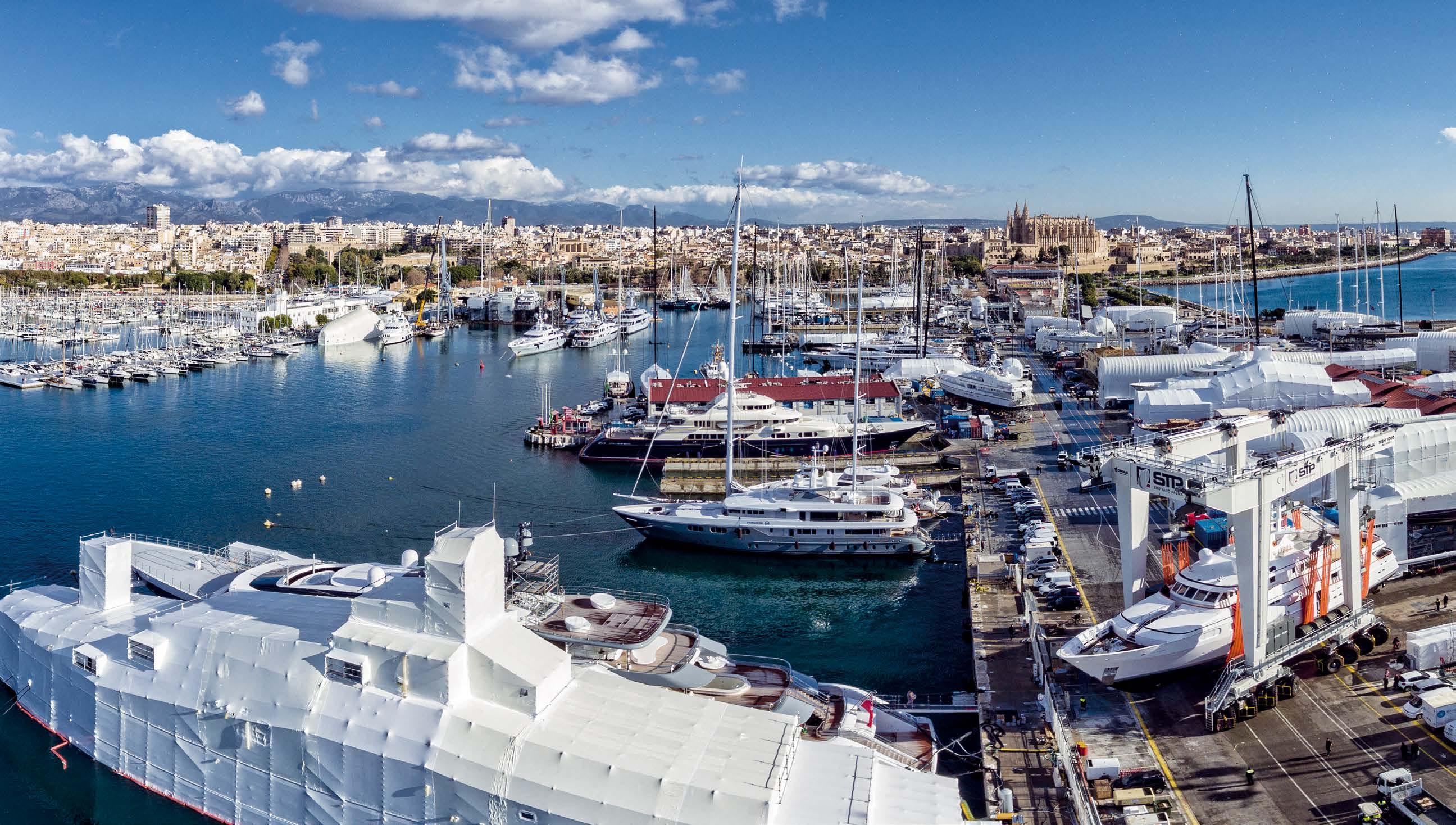
SHIPYARD PALMA BE ONE OF US www.group-ipm.com Contact us! t. +34 971 214 747 info@stp-palma.com www.stp-palma.com u u u TRAVELIFTS UP TO 1000 TONS 6 TRAVELIFTS: 1000TN, 700 TN, 200 TN, 150 TN, 100 TN, 30 TN BERTHS UP TO 100m LOA 53 BERTHS FOR YACHTS UP TO 100m LOA AND 7.5m DRAFT u SEVEN KEEL PITS FOR DEEP DRAFT SAILBOATS AND UP TO 60m LOA HIGH-FLOW FUEL STATION 4 x 80L/MIN PUMPS AND 2 x 280L/MIN PUMPS EXCEEDING EXPECTATIONS SHIPYARD PALMA SAFE AND SUSTAINABLE STRICT HEALTH, SAFETY AND ENVIRONMENTAL MEASURES REFIT AREA 130.000 m2 HOIST-OUT, HARDSTANDING AND RELAUNCH SERVICES, CRANE SERVICE, MACHINERY RENTAL, 5,000m2 OF WORKSHOPS u u EUROPE’S BENCHMARK► REFIT & REPAIR HUB
The Islander Team
CEO (Creative Enthusiastic Owner) Jens Oomes
Head of Sales Damian Raxach
Creative Director Marjolein Van Der Klaauw
Accounts Els Van de Sande
Office Manager Natalie Tempelers
Admin Daniela van Westing
Writer and Online Manager Melanie Winters
Deputy Editor Lisa Thompson
Writer Mia Naprta
Writer Lucie Gardiner
Photo & Video Nathalie Kraft
Content
Industry Insider page 17
Crew Life page 43
Tech Talk page 69
Charter Knowledge page 83
Regatta News page 95
News 4 Stews page 103
Chefs&Foodies page 111
Islander Life page 119
6
The Islander #307
Note from the Editor.

The green topic is red hot! Every business, obviously not just in the yachting industry, is boasting about its sustainability initiatives at any given opportunity. Some have made it their unique selling point and their whole business revolves around offering an eco-sustainable alternative or even an active solution. Many corporations have put a set of goals forward that they aim to achieve 30 years from now. Then some carefully word how they are less damaging than before, and a few -regrettably- have changed nothing but their marketing message…
It is a complex and layered topic and I have thought twice before using this for our very first themed issue. However, it is one of the biggest challenges humanity is facing today and it is also a very obvious first theme to choose. The good news is that in contrast to about 20 years ago, nobody frowns upon the green issue anymore. Well… perhaps that’s bad news because now the problem has become big enough for everyone to see it. The new challenge for the consumer is to figure out whether a product has truly applied the correct measures to increase its eco-sustainability. In the October issue, Save The Med contributed an interesting article about so-called Greenwashing which is worth a revisit via our website.
Hypocrisy is always lurking around the corner and being called out for it even more so. Some people and companies are doing the best they can to change the tide, and sometimes their efforts are just a drop in the Ocean. But that drop in the Ocean counts in my opinion if it doesn’t evaporate under the heat of the naysayers and sceptics. Let’s always remember that raising awareness for a problem is the foundation for the solution. Our kids are already behaving differently than us because they are more aware of the problem and less bothered by the uncomfortable changes the solution may imply.
Is there such a thing as sustainable yachting? It would be a hard case to defend. Our industry is starting to work with new recyclable composite materials to build hulls, alternatives for decking, new propulsion technology and even trialling ideas that could have a massive impact on the maritime transport industry.
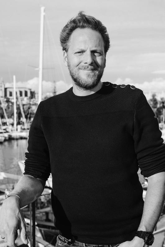
I believe that the biggest responsibility and opportunity for yacht owners and crew is in executing research and raising awareness.
The more people are faced with the problem, the more attention it will receive. Last month we featured an article on how yacht crew can help to map the population of Risso Dolphins. The main feature in this issue is about a young sailor who intends to sail the Arctic circle, a part of the world very few of us get to visit. Her journey will help us to visualise and confront the reality of the crisis. Also in this issue, is how the yachting industry can be crucial in mapping the planet’s seabeds.
Yachting with an additional purpose on top of creating beautiful memories for owners and guests has always excited me. With navigation being simplified through technology in the last 2 decades, we should all feel morally obliged to contribute to research, especially when offshore, as part of our watchkeeping tasks. And of course, we can hope that even the most ignorant people change their ways after swimming into a plastic bag on their yachting holiday.
Jens Oomes
7
ISLANDER YACHTING MEDIA S.L. VAT / CIF B72731938 POLIGONO 19 PARCELA 60 07620 LLUCMAJOR BALEARES SPAIN DEPOSITO LEGAL: PM146-1997 Whilst the publishers have taken every care to ensure that the contents are correct they cannot take any responsibility for any losses incurred by readers as a result of any editorial or advertisement. The opinions do not necessarily reflect those of the publishers who therefore cannot take any responsibility for any opinion expressed. All rights are reserved and no part can be reproduced or stored without permission. La revista Islander no se hace responsible necesariamente de todas las opinionones vertidas por sus colaboradores.
The Islander #307
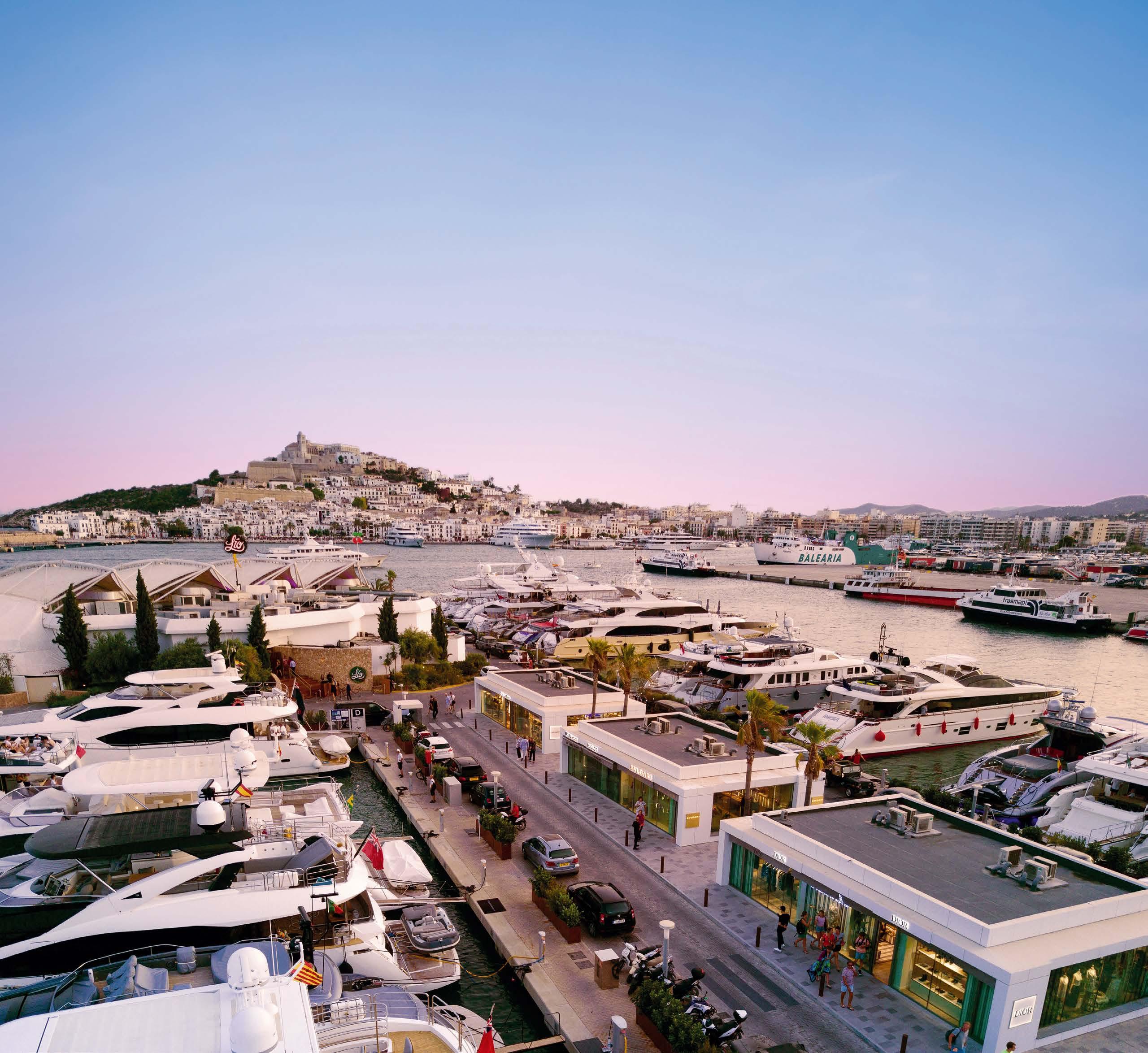


marinaibiza.com (+34) 971 318 040 feel the best luxury experience LIO CALMA ROTO CAPPUCCINO FILIN LOUIS VUITTON GUCCI YVES SAINT LAUREN DIOR DOLCE&GABBANA BULGARI LOEWE FENDI BOTTEGA VENETA BE ONE OF US! MORE THAN A MARINA, IT’S A WAY OF LIFE
Judged by the Cover
written by The Islander photos by Katerina Funk
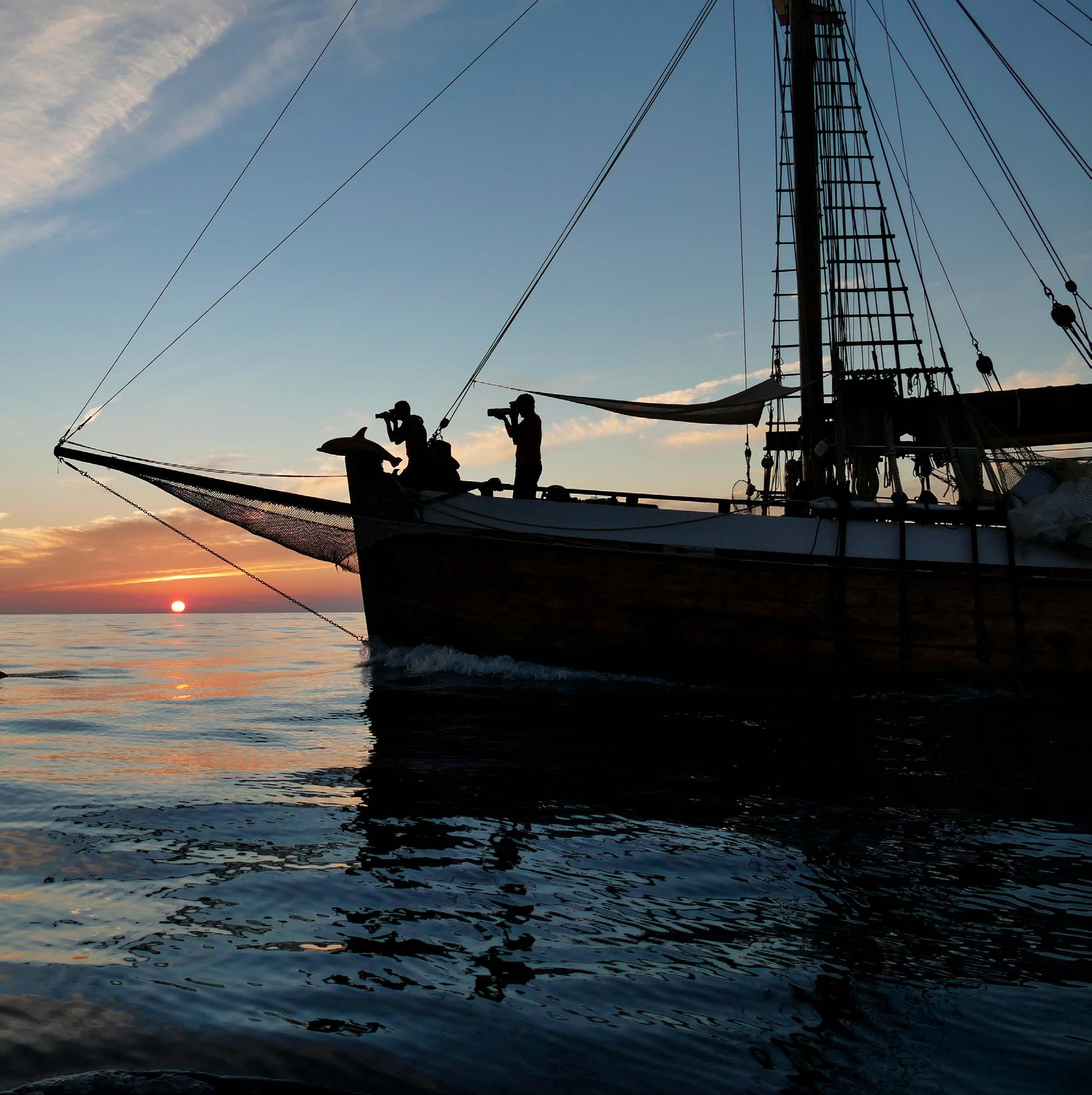
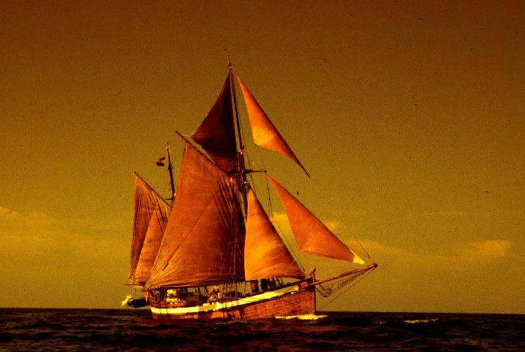
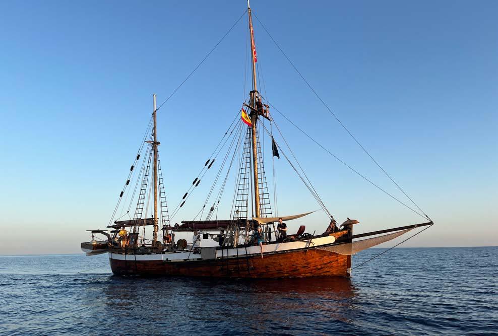
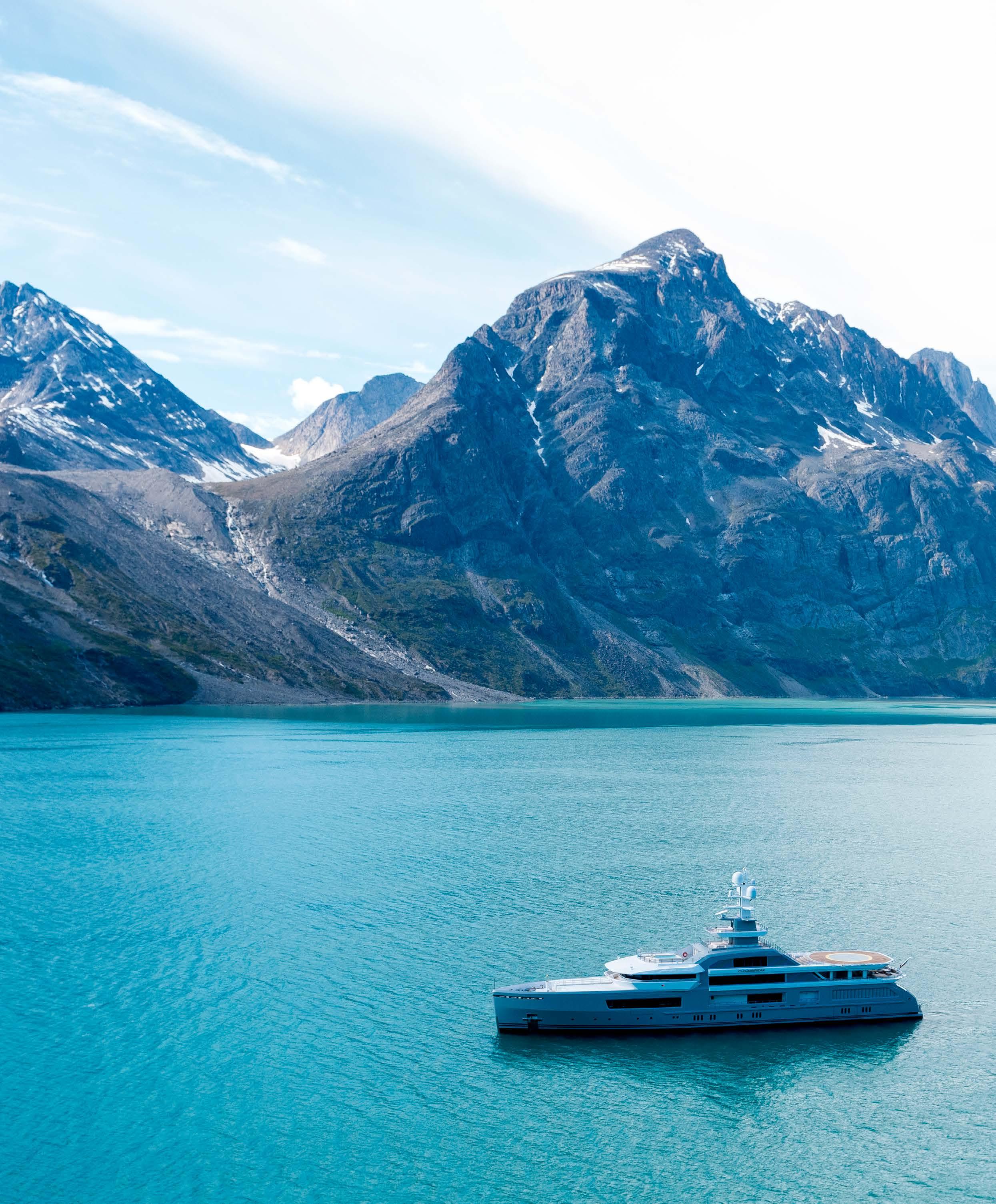
The cover picture of our Eco Sustainability issue shows the 113-year-old wooden research vessel, Toftevaag during one of her expeditions in the Western Mediterranean. Via www.alnitak.org you can learn about the many marine research and conservation achievements she assisted in. She measures 23m overall and 18m without her bowsprit. She draws 3m and is 3.75m wide. The word Toftevaag means “Meeting Place” in Viking language and has lived up to this name over the years. Since Alnitak acquired and restored her in 1989, some of the world’s top scientific institutes have been on board, as well as more than 3800 volunteers from over 100 nations.

113 years old
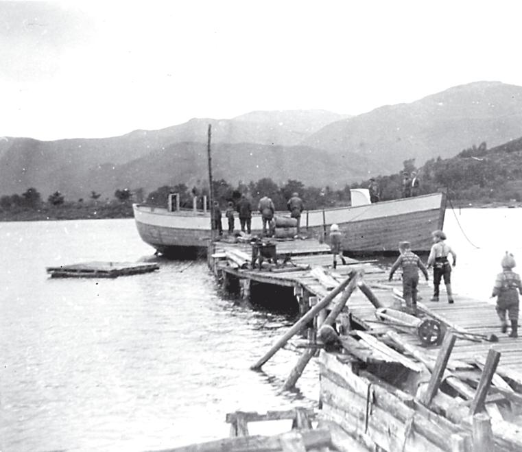
Toftevaag was built on the island of Halsnöy in Norway in 1910 by Lars Olai Sjo and worked fishing for herring in the North Atlantic until WWII when she was used to carry pilots to an airfield around the North Cape. After the war, she worked as a trader carrying people and goods up and down the fjords. For 79 years Toftevaag proved to be an excellent working boat in one the most beautiful but also most challenging environments on Earth, the Atlantic Ocean. She worked under sail until 1958 when she got her first engine installed - a 60 Hp Grenaa semi diesel.
34 years of research and conservation
In 1988, in the port of Mahon (Menorca) two Greenpeace activists on board the ship Sirius were dreaming of restoring an old working boat and converting her for a new mission: to develop research and education programmes for the conservation of our maritime cultural and natural treasures.
They found Toftevaag in March 1989 at the shipyard of Risör (Norway) and founded ALNITAK. To mark this, they bought an old ship bell and engraved this word on it. The bell still hangs on Toftevaag’s deck today. Approximately 70% of her hull is still original Norwegian pine. Keeping Toftevaag working for over three decades sends a strong message to society to embrace ‘another way of living’ - one where we take care of things and refuse the ‘single-use’ culture. Restoring and taking care of this ship is also ALNITAK’s main contribution to the conservation of our maritime heritage.
10
The Islander #307
11 The Islander #307
Ella Hibbert – The First Person to Circumnavigate the Arctic Circle Alone - Non-Stop
 written by Mia Naprta / Ella Hibbert
photos by Christopher Scholey / Ella Hibbert
written by Mia Naprta / Ella Hibbert
photos by Christopher Scholey / Ella Hibbert
As the calendar approaches the 8th of March -International Women’s Day- many women in the yachting industry are still, in 2023 fighting for their rights, equality and their place under the proverbial sun.
It, therefore, seems fitting that our main feature for March is about Ella Hibbert, an inspiring young woman who will attempt to circumnavigate the Arctic Circle alone, and non-stop! If she succeeds, she will be the first person -male or female- to do so! Lucky for us, Ella was available and delighted to share her story with The Islander.
The Islander #307
Who is Ella?
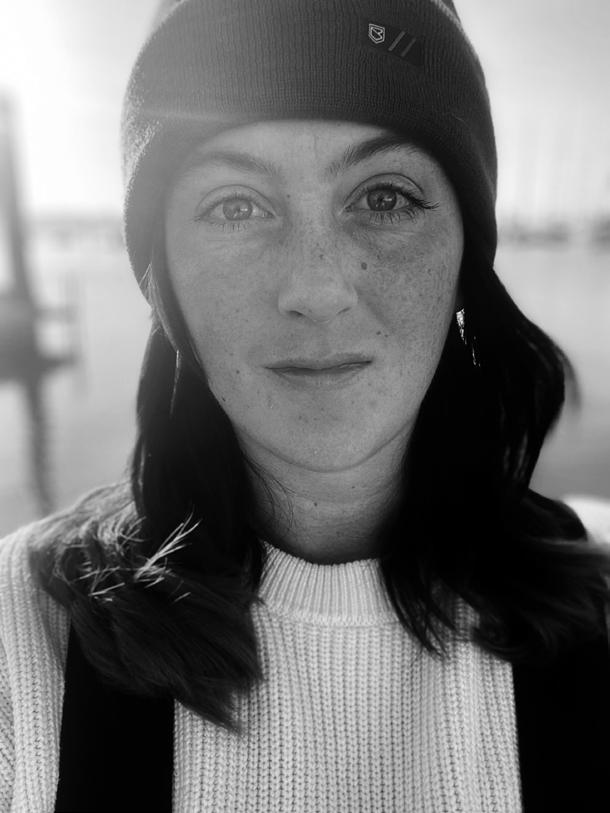
Ella is a 26-year-old Yachtmaster Sailing Instructor, who currently works full time for a sailing school based in Port Hamble Marina, in the Solent, UK. Ella started sailing as a young girl on small dinghies in a reservoir near Ipswich, Suffolk. She later enjoyed outings with her family on her dad’s Moody around the South of France and Corsica. In her early twenties, Ella spent four years working on and off superyachts in the Mediterranean and the Caribbean, before returning to her sailing roots. She has now been teaching sailing full-time for 2 years and loves it.
Ella worked on a few different superyachts during her time as a deckhand and dive master. She enjoyed the extensive travel, made some lifelong friends and got to dive in some of the most beautiful locations around the world. However, the more passionate she grew about diving, the more aware she became of the decline that our oceans are facing, and found herself wanting to return to her sailing roots while pursuing a career that she felt more aligned with.

The Islander #307
Attempting two records in one go
Ella is attempting to be the first person to solo circumnavigate the Arctic Circle. “Although it has been done by a team before, it has not yet been done by one sailor on their vessel alone” , she explains. She is also going to attempt to complete the circumnavigation non-stop (without setting foot ashore). However, Ella tells me: “The campaign is less about setting new world records and more about raising awareness of the increasingly rapid decline of the Arctic sea ice, and the repercussions this has on the wildlife that live there - and on the world as a whole”.
Ella first wanted just to sail solo through the NorthWest Passage. The more research she did into the Arctic, its weather, the ice movements and the challenges involved, she thought, ‘why stop there’? So her idea to attempt a full circumnavigation steadily grew.
What is the North West passage?
The North West Passage is a route betwe en the Atlantic and Pacific Oceans, through waterways around the North coast of Canada. Ella will also be going through the North East Passage, which runs along the Arctic coasts of Norway and Russia.
What are the anticipated start date and route?
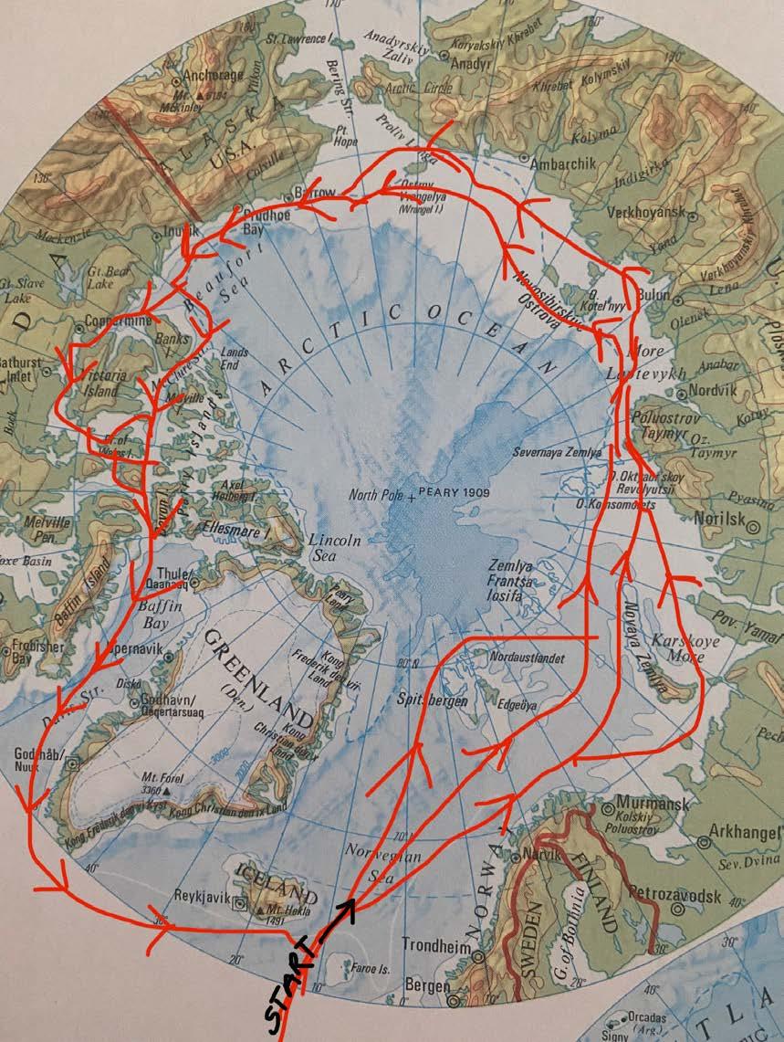
Ella explains, “The current plan is to leave the UK in April 2024 and head up to the Arctic Circle above Norway, before embarking on the circumnavigation in an anti-clockwise direction to Norway, Russia, Alaska, Canada, Greenland,

past Iceland, and back to Norway again, crossing my original start point”. Ella has spent 2022, and will be spending all of 2023, studying the ice movements in the Arctic, and will finalise her route a couple of months before her departure from the UK.
What does sailing solo mean in practice?
Sailing solo means exactly that - Ella will be entirely alone on board. She will not have any support vessel. “By doing this circumnavigation entirely alone, I aim to prove that we are still not doing enough to secure the survival of the Arctic Ocean. If the Arctic were at its prime, this trip wouldn’t even be possible”, Ella says.
Ella aims to have the name, location and contact details of all the nearest ports and harbours along her route, as well as pilotage plans to help her navigate into one should she need to. There will be an extensive amount of safety equipment on board and she will undertake extensive medical training before she leaves. “Yellow Brick is kindly providing two-way satellite communication and satellite tracking on board. They will send daily weather and ice movement updates so I can adjust course accordingly. I will also have telemedical support during the voyage thanks to sponsors, MSOS (Medical Support Offshore)”, Ella explains.
The boat
Ella has bought a steel-hull 38ft long ketch - a Bruce Roberts design. Her name is Yeva, and she’s currently in Haslar Marina. Ella tells me, “She’s been built for extensive ocean cruising. Being made of steel, she’s
an ideal vessel for high-latitude sailing. Some customisations being done are removing the bed from the bow cabin to turn that area into storage and making sure she is well-insulated throughout. We’re removing the fake-teak decking as I prefer the topsides to be painted with non-skid deck paint”.
Ella is undertaking the interior refit herself at the moment while seeking sponsorships and fundraising to help with the exterior refit.
14
The Islander #307
Mental and physical preparation
Ella is currently working with a chiropractor and will soon be starting a workout programme. Learning the basics of Pilates and yoga will give her exercises that can be done below deck in a small space. “I will take weights and resistance bands with me too, so that I can maintain a level of physical activity on board - other than the sailing, which is very physical itself, of course”, says Ella.
For her mental preparation, she will be seeing a sleep specialist and a psychologist to help her prepare for the solitude.
Obvious and less obvious challenges
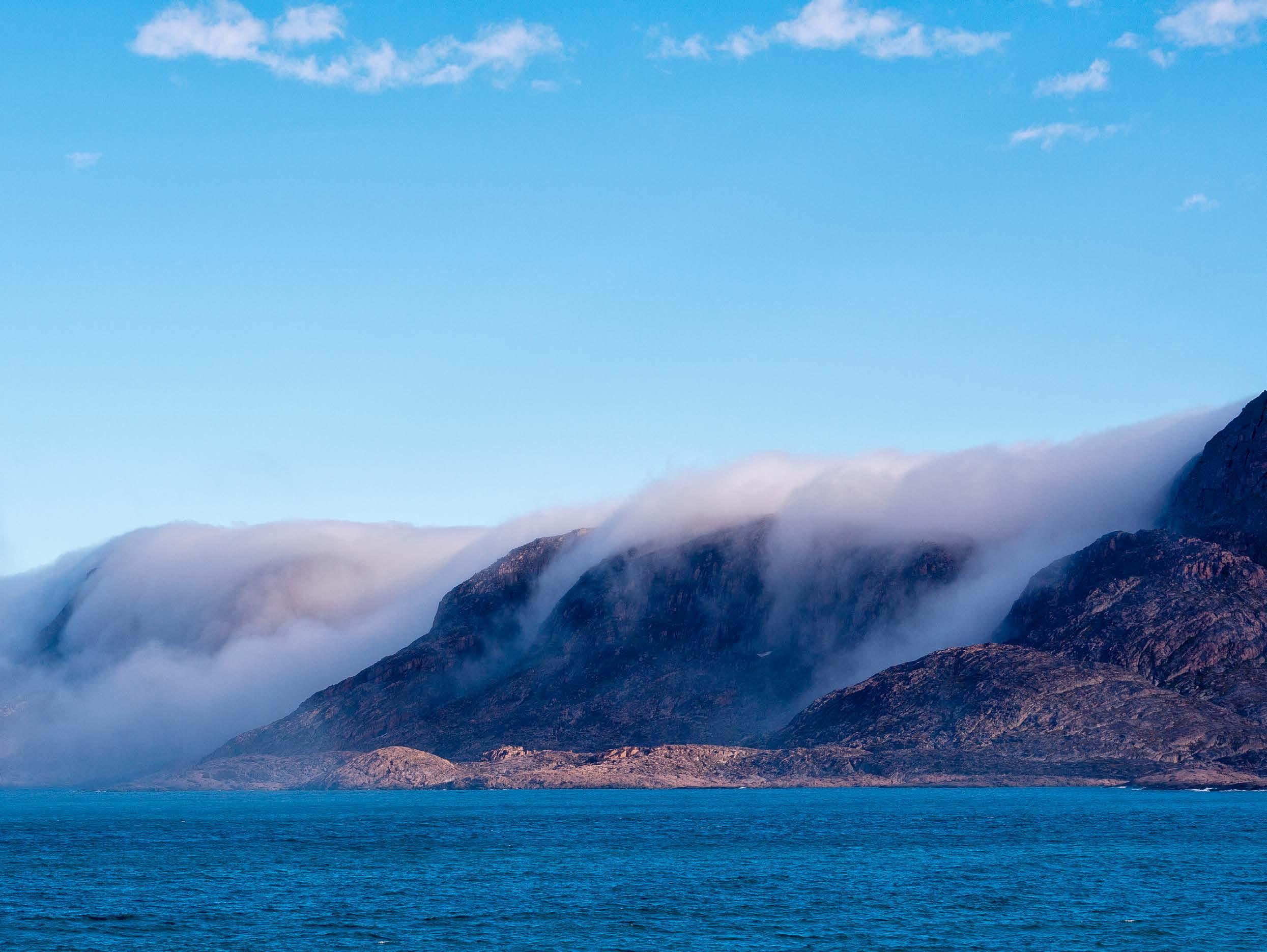
Ella sees the weather changes up North and navigating the ice fields as some of the most obvious challenges. “The winds can be fierce in some areas whilst they can also be very light in others, and fog is fairly common in certain parts of the Arctic too.” Other challenges
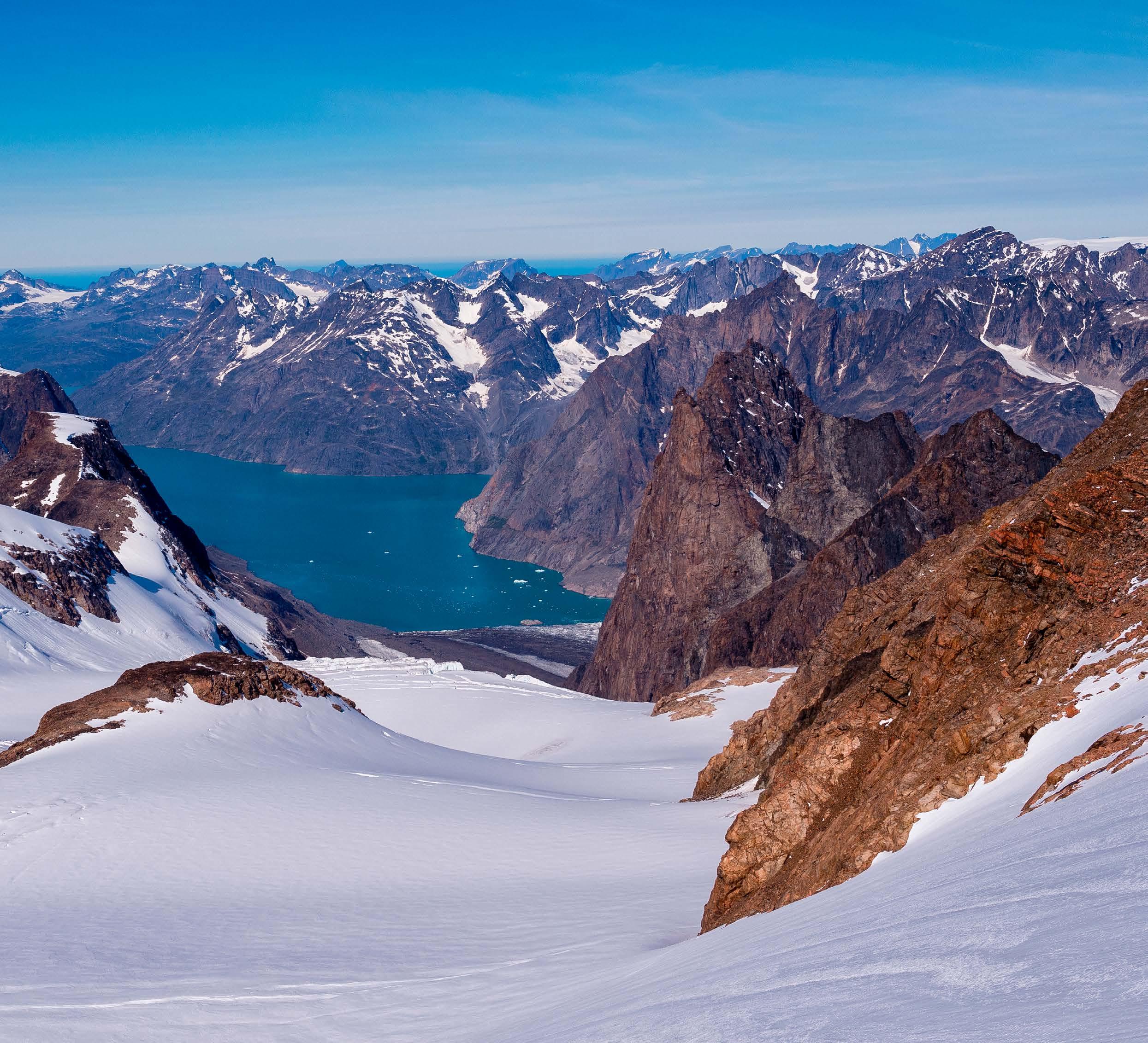
Ella anticipates include sleep deprivation and loneliness. She also tells me, “I might have to get up and down the mast alone if something breaks or needs changing. I am looking forward to the challenges, or at least being fully reliant on myself to cope with them, and to test myself continuously for so long!”
One challenge she hopes she won’t have to face is encountering the Arctic wildlife too closely! She is looking forward to admiring it from a safe distance!
15
The Islander #307
Sailing through Russian waters
Ella plans to sail through Russian waters without stopping and is hoping she can secure a visa to do so. However, this will be worked out closer to departure time when she knows the boat is ready to go!
A scientific purpose to this trip?
Ella’s primary aim is to support two charities that are striving to protect the future of the Arctic Circle and its inhabitants: - Polar Bears International and Ocean Conservancy.
However, Ella would love to support a university or research programme that has an interest in the Arctic. She would be more than happy to have data acquisition units placed on board, or collect Arctic water samples, etc. If someone is interested in a scientific collaboration, please reach out.
Bittersweet aspect of this trip
“If I did manage to make it the full way around the Arctic in a single season, it would most definitely be a very bittersweet moment. Should I be forced to stop due to ice, I would not be upset about it in the slightest!”
If that happens, Ella can winter the boat in a marina on the edge of the Arctic Circle, and complete the rest of the circumnavigation the following year.
What can the yachting community do to help?
There is still equipment needed for the boat and voyage, including a water maker, solar panels, wind vane, hydro generator, heating system, cameras to document the trip, epoxy and paint for the hull and deck, appropriate clothing and freeze-dried food.
If anyone would like to propose sponsorship, Ella is keen for them to reach out to discuss what she can provide in exchange.
As for the refit, a shipyard period is needed where the decking can be stripped off, the boat sandblasted, painted and have anodes changed, and then be relaunched. Ella appeals, “If any companies around the Solent would like to offer services as sponsorship - that would be incredible”.
Finally, Ella is looking for financial backers, as well as running a crowdfunding page: www.crowdfunder. co.uk/p/solo-sailing-the-arctic-circle for donations, all of which will go towards making the boat ready for the trip.
“After the trip, I will auction my boat and donate the full amount to the Polar Bears International and Ocean Conservancy charities.”
Ella concludes, “I would like to thank my current sponsors for helping me get this far already - Boatfolk, MSOS, Jeckells, YB Tracking, Suffolk Marine Safety, DuBarry, DSNM, Sea Start Ltd, Armare Ropes and Osmotech. Their support is greatly appreciated, and I’m excited to see who else joins in on this epic adventure!”
For more information or sponsorship please visit: http://www.ellaat665n.co.uk
Planned route The Islander #307
Industry Insider
INIP February Edition
What's On?
Sunreef to build Second 43m Eco Superyacht
Oscar Siches: Cold Ironing
Silent Yacht Explorer + Aircraft & Submarine
Marivent YachtsBluegame’s New Representative in Spain
Interview with Miss Yacht
Matthew AttardMore Regulation for a better Environment?
INIP at Santina Harbour Club, Puerto Portals supported by Estela Superyacht Agency
 written by Jens Oomes photos by Nathalie Kraft

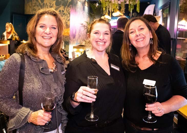
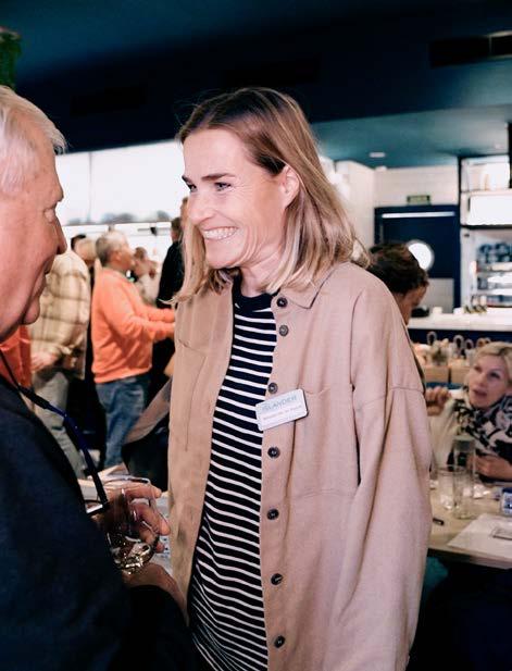
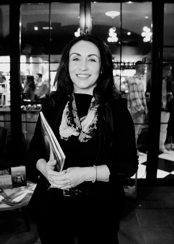
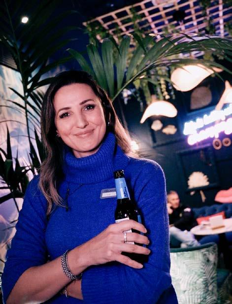
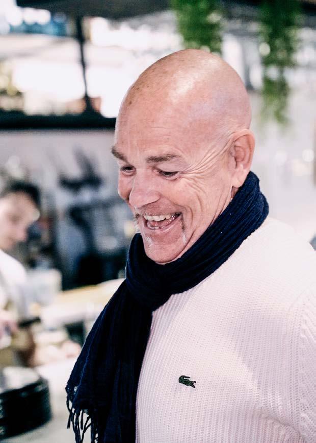
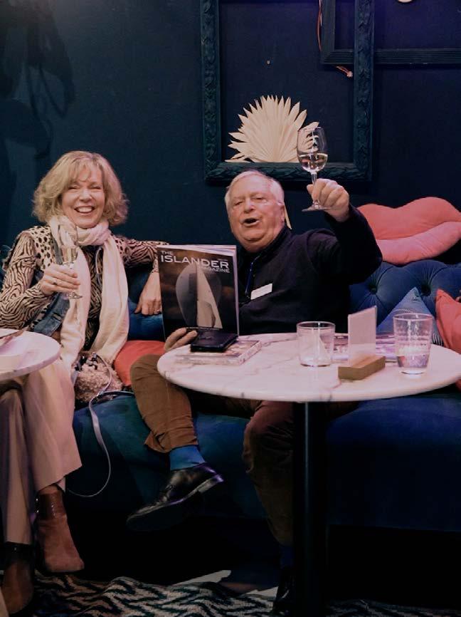
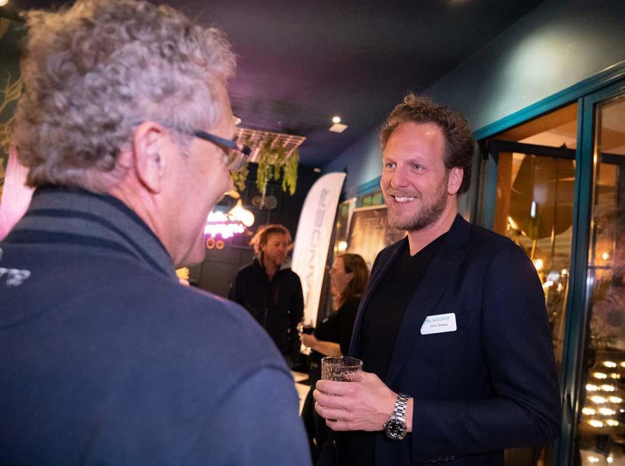
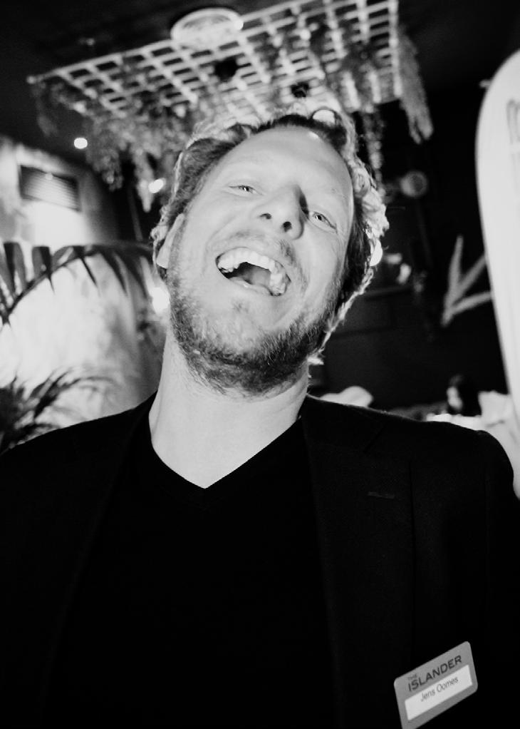
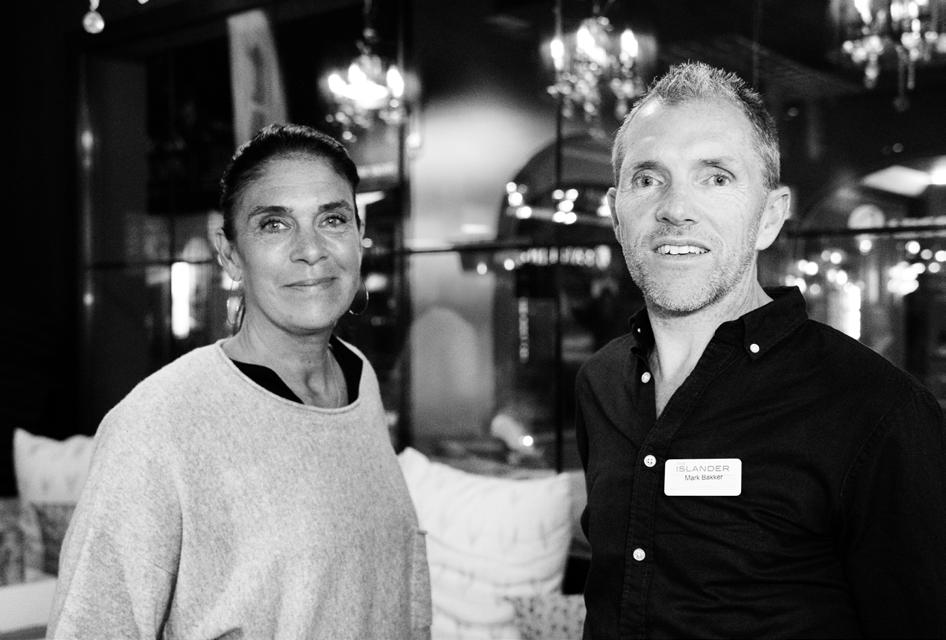
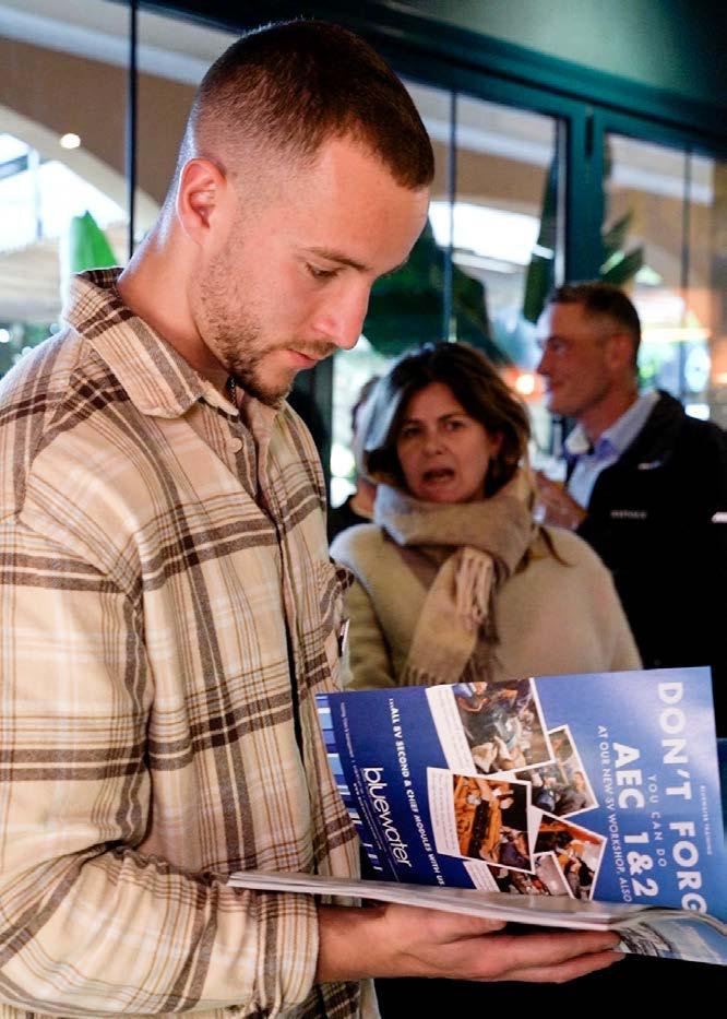
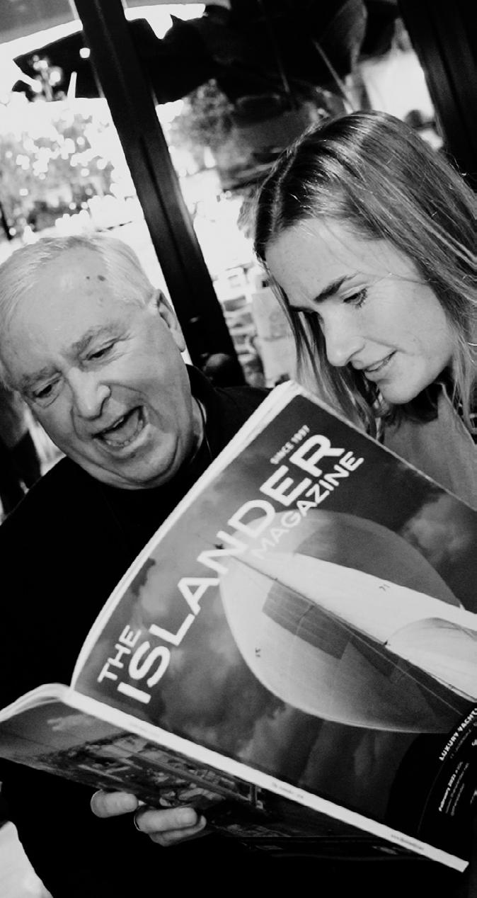
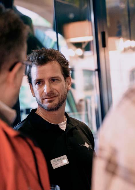
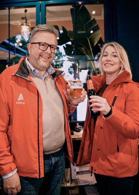
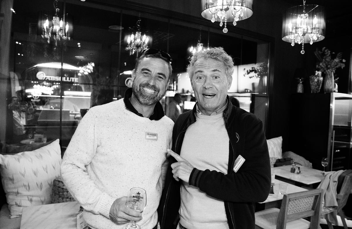
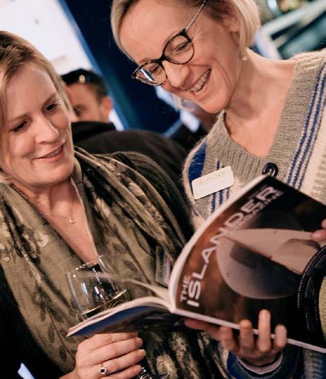
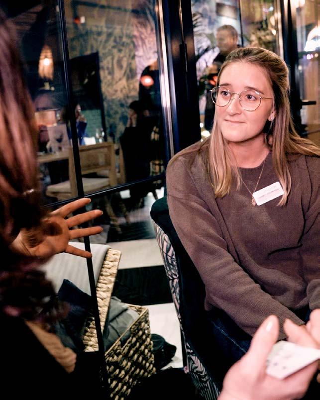
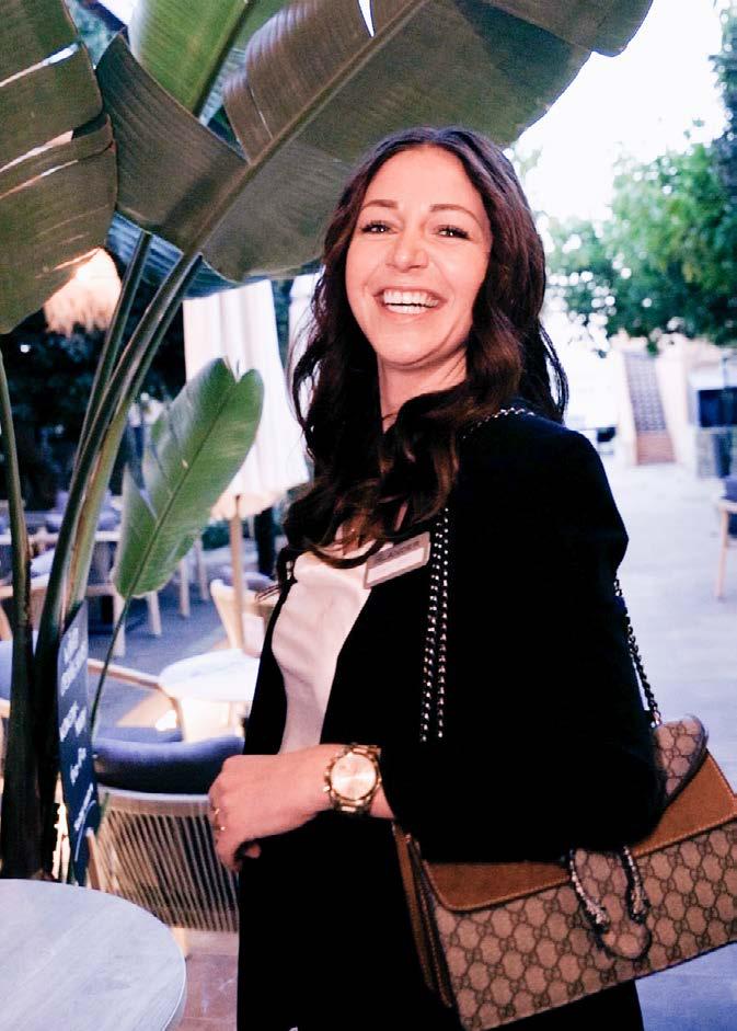
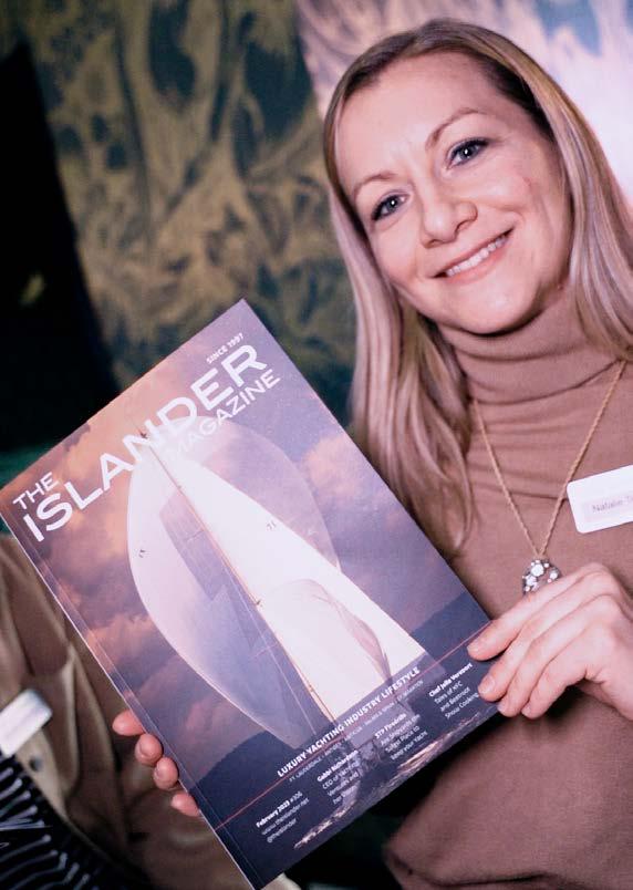
Every first working day of the month from 5-7pm The Islander celebrates the launch of its new issue. The professional yachting community has clearly recognised this opportunity to get together and network in a relaxed atmosphere. We are also starting to accumulate a list of companies that have shown an interest to be involved in the event as a partner. Estela Superyacht Agency were first in line to participate in the event. Without the use of the outside space due to the wintery temperatures, the 60-70 guests made for a lively atmosphere inside.
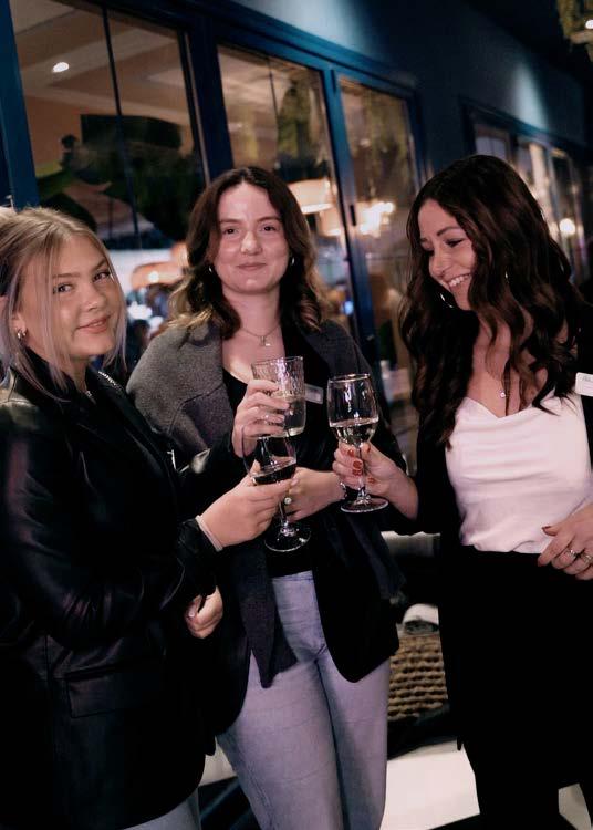
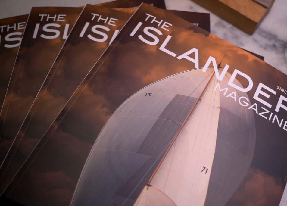
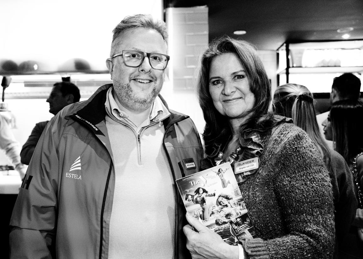
The next INIP will take place on Wednesday 1 March at Santina Harbour Club, Portals.
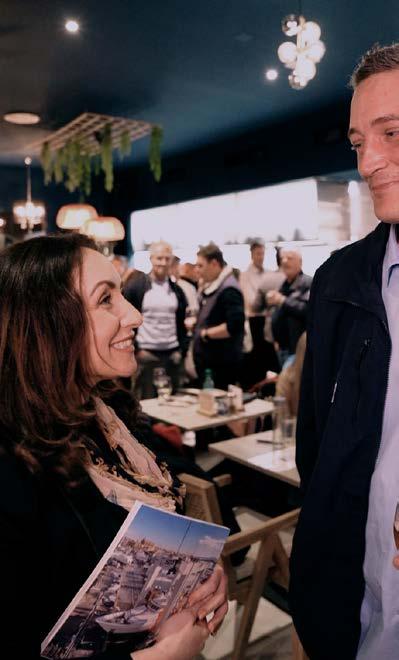
For the April INIP we will gather in the Can’Eduardo restaurant in La Lonja, Palma on Tuesday 4th of April.
18 Industry Insider
The Islander #307


What’s on?
Each month we pick our favourite events for the upcoming 3 months from www.yachting-calendars.com powered by Hamilton Connections.
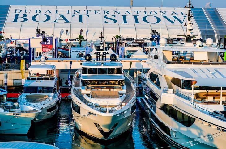
MARCH Dubai International Boat Show
1-5 March
There’s much talk about the 29th edition of the largest marine and lifestyle show in the Middle East. The 5-day boat show is hosted at the Dubai Harbour - an extraordinary seafront district designed for the ultimate maritime lifestyle. The Islander will be represented by Lucie Gardiner and our collaborator from the French Riviera, Sophianna Bergonzi a.k.a. @miss_yacht. Read our report in the April issue.
St. Maarten Heineken Regatta
2-5 March
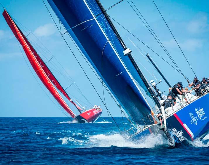
St. Barths Bucket Regatta
16-19 March
The first Bucket Regatta was organized in Nantucket, Massachusetts in August of 1986. At a birthday celebration organized by Nelson Doubleday, several yacht owners participated in a spirited discussion about optimal yacht design and individual sailing prowess. The following day, with only a night of preparation, seven sailing superyachts raced on a hastily prepared 15-mile course on Nantucket Sound. The stated prize of this impromptu competition was simply to attain undisputed superyacht-sailing bragging rights for the year. They soon learned, however, that the pleasure and enjoyment of a camaraderie formed at sea between like-minded individuals was the greatest prize of all. As a result, a nearby spare bucket was deemed sufficient to commemorate the racing accomplishment, and the Bucket Regatta was born. In 1995, the beautiful French island of St Barths hosted its first Bucket Regatta and it has done so in March every year since then.
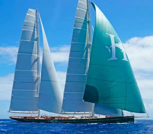
This will be the 43rd St. Maarten Heineken Regatta! In 1980, it started as the St. Maarten Regatta with a modest 12 sailboats participating. Three years later, in 1983, Heineken became a major sponsor of the St. Maarten Regatta and ‘Heineken’ was added to the name of the event. Heineken participated with a fee of 3,750 guilders (approximately $2,100). As a bonus, the competitors received ice-cold Heineken beer from a passing powerboat while they were racing. After the involvement of Heineken, the event grew fast. With the addition of a third day in 1990, the event grew to 187 boats in 1995, and 251 boats in 1999. Another racing day, the Commodore’s Cup, was added in 2005. The record amount of boats participating in the St. Maarten Heineken Regatta was in 2008 with 284 boats.
20 Industry Insider
The Islander #307
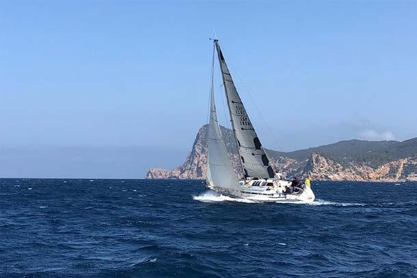
APRIL MYBA Charter Show Barcelona
24-27 April
As a Professional Trade Show, the MYBA Charter Show brings together the world’s leading luxury charter professionals. It provides them with the opportunity to appraise some of the finest yachts available for charter, meet with captains and crew, and explore an exceptional array of ancillary services. The Chefs’ Competition places the benchmark high, the seminars are enlightening and the social calendar provides excellent networking possibilities. The 33rd edition of the Show will be held in Barcelona from Monday 24 April to Thursday 27 April 2023. The onsite Show Managers, Marina Port Vell and the centre of Barcelona as a spectacular backdrop will provide for a wonderful event.
PIBS + Palma Superyacht Village
27-30 April
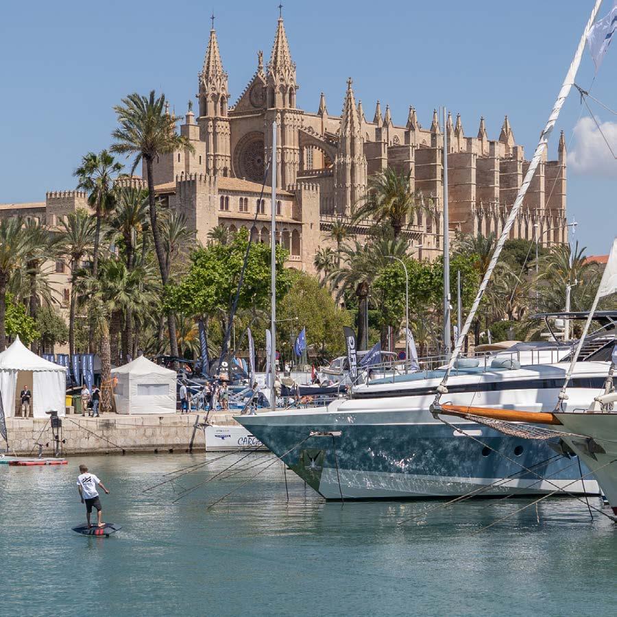
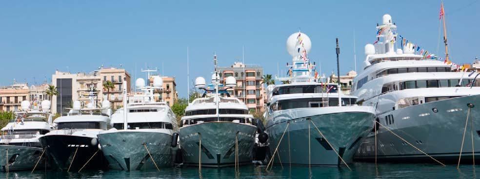
The Islander Magazine is the proud Media Partner of the Palma Superyacht Village and will be visibly present at our home-port event. The Superyacht Village, formerly called the Palma Superyacht Show, features some of the finest 24m+ superyachts currently on the international brokerage and charter market. Another huge attraction is the Village’s wide array of shore-side exhibitors, showcasing anything from the latest advancements in sail design to next-level marine electronics. The Superyacht Village also includes a dedicated Refit & Repair area that targets the yachting industry’s experts and professionals.
MAY PalmaVela
Palma
3-7 May
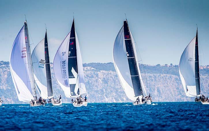
Originally created as a regatta for Maxis, and formerly known as the Maxi Race Week, since 2004 the regatta has truly embraced a wide scope of sailing classes living up to its name. The classes consist of Big Boats: Wally and Maxi, IRC and ORC, TP52, Swan Class, Dragon, J80, Flying Fifteen, the Classic fleet and the Hansa 303 class. Last year the event kicked off with the “La Larga” offshore race before 4 days of class races in the Bay Of Palma. We can expect a similar program for its 19th edition.
Ibiza Gold Cup
29 May – 1 June
Profiling itself as an exclusive, but fun sailing event for 60ft+ yachts (Performance Cruiser, Cruisers & Classics). The organisers promise three days of competitive sailing from bay to bay during the day, while the evenings comprise social events and entertainment at different venues, resulting in great group dynamics. Ideal for teams to train (carefree), compete, relax and network –but above all– enjoy!
21 Industry Insider
The Islander #307
Sunreef to build Second 43m Eco Superyacht
 written by Marta Sledziewska photos by Sunreef Yachts
Sunreef Yachts was recently commissioned to build hull number two of the Sunreef 43m Eco Superyacht. With a growing interest for large eco-responsible catamarans worldwide, Sunreef Yachts pioneers a sustainable revolution in the superyacht world.
THE WORLD’S BIGGEST ELECTRIC LUXURY CATAMARAN
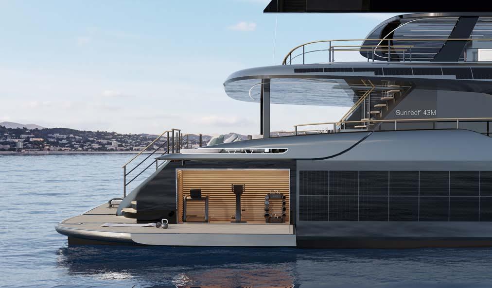
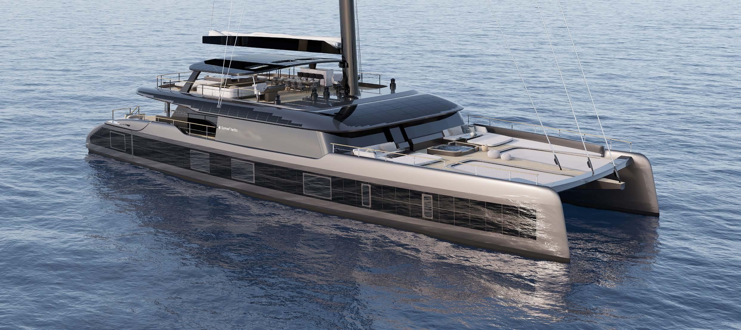
The Sunreef 43m Eco was designed to provide an emission-free cruising experience in complete silence and luxury. Using green hi-tech solutions developed in-house by Sunreef Yachts, the 43m catamaran will feature composite-integrated solar panels built into the yacht’s hull sides, superstructure and Bimini, delivering up to 60kWp.
A CONFIDENT CRUISER
With custom-engineered batteries and state-of-the-art electric engines, the Sunreef 43m Eco will offer up to 12 hours of e-motoring at eco speed. The catamaran will have a cruising speed of 11 knots and a maximum of 14 knots. With 1000m² of upwind sail area and 1600m² downwind along with a 49m mast, the Sunreef 43M Eco will offer a smooth sailing experience. While under sail, the yacht’s hydrogenerators will provide a steady supply of green energy.
A PRIVATE OCEAN LOUNGE
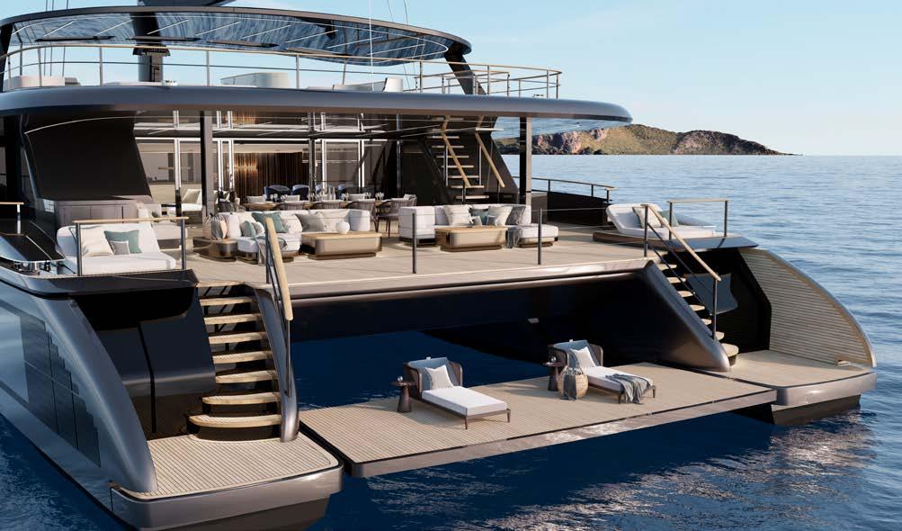
One of the catamaran’s standout features is her invisible aft garage that can stow two jet skis and a collection of water toys. Another key feature of the Sunreef 43m Eco is her vast Ocean Lounge combining the aft platform and fold-down balconies. Dedicated to sunning, lounging and watersports, the lounge provides direct access to voluminous toy storage and diving gear.
22 Industry Insider
The Islander #307

Cold Ironing
written by Oscar Siches
Today I want to tell you something about the reality of providing electricity to ships -be it ferries, yachts or cruise ships- and its limitations. The technology is called ‘cold ironing’ or ‘cooling the irons’. The origin of the name comes from when ships were propelled with steam engines and boilers. Upon reaching the port, the boilers were turned off and the machines (the irons) cooled down.
Cruise ships need to keep all their services active when they are in port: air conditioning; refrigerators; ventilation; lighting and other services. A tourist cruise ship whose 20% of passengers do not disembark, or a large yacht with full crew, consumes much more than a ferry. The ferry only needs to keep its basic systems turned on to a minimum while disembarking its cars and passengers until the next boarding.
To be able to ‘plug in’ a cruise ship consuming so much power would require a huge cable and would be very difficult to manipulate and connect. Internationally, the norm was adopted that in the ports, the ships will be fed with 6000 volts. To connect to that voltage, the electrical system of the ships must be prepared. And here comes the interesting thing: cold ironing is valid only when the power it supplies has been produced in a “clean” way. To do this, the port must be close to a power plant or have generators whose emissions contaminate much less than the ship’s own generators. The aim is to reduce pollutionnot generate it elsewhere.
In most cities, only 40% of the electricity produced by oil, coal or alternatives reaches the user. The rest is
Oscar Siches +34 667 494 85 oscar@siches.com www.siches.com
lost in wiring, transformers and distribution centresPalma being one of these cases. So imagine a ferry or cruise ship plugged into land: it could generate more emissions in the power plant than if it used its own generators, as it would burn more than twice the fuel to use the same electricity.
In Marina Port Tarraco, there is a 6000 volt plant for large yachts. It has been running for several years and is mobile. Why not rent it and try it out in Palma before spending money on the ferry terminal?
Old ships pollute proportionally much more than new ones because the requirements they had to meet were more permissive. Modern cruise ships and large yachts must comply with much more demanding regulations for their emissions.
The electrical network of the Port of Palma and the Paseo Marítimo is saturated and does not admit any more load. They would not be able to efficiently connect the ferries.
The real cold ironing solution makes use of groundbased generators powered by low-emission fuel - gas or biofuels. Note: biofuel -a product of agricultural activities- generates emissions similar to those of petroleum derivatives, but guarantees its sustainability and a clean cultivation process. With an efficiency of approximately 95%, similar to those of modern ships, the much-desired pollution reduction effect is achieved, even if it is less than desired.
Modern Yachts is the least polluting fleet - the rest are smoke.
24 Industry Insider
Oscar is a Certified Marina Professional, was founder director of the Global Marina Institute, member of ICOMIA’s Marinas Committee, member of PIANC Recreational Marine Committee, Convenor of ISO TC228 WG8 “Yacht Harbours”, member of the Global Marine Business Advisers (GMBA) group and founding member of the Asia Pacific Superyacht Association.
The Islander #307
photo by Oscar Siches
SILENT-YACHTS collaborates with VRCO and U-BOAT WORX to offer Aircraft and Submarine for New SILENT 120 Explorer
written by SILENT-YACHTS Press Office / Sand People Communication photos by SILENT-YACHTS
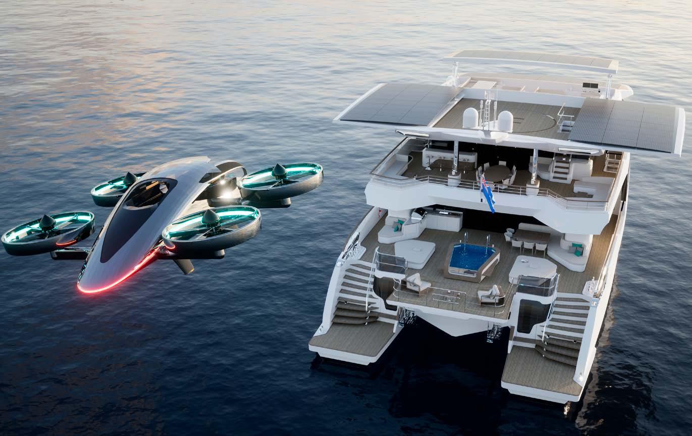
The SILENT 120 Explorer’s solar power will recharge the all-electric XP4 aircraft and NEMO sub.
The yacht’s 13.85-metre beam and sliding rooftop solar panels mean space for an e-VTOL touch-andgo pad on the hardtop roof
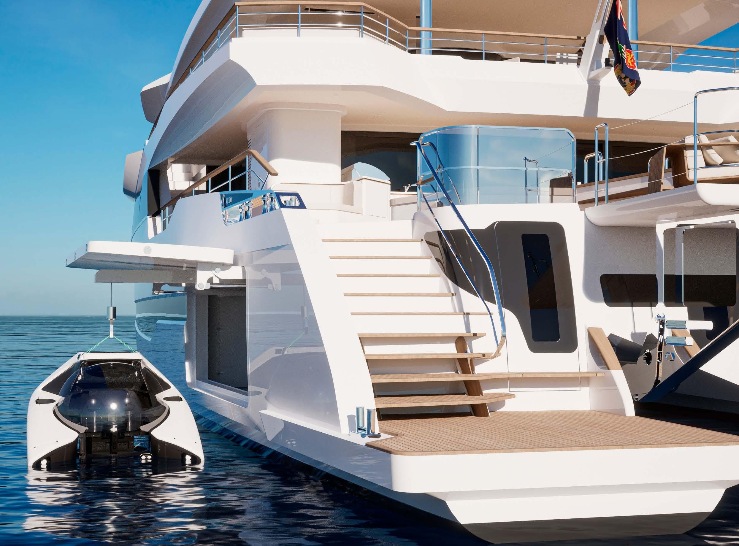
Electric propulsion means smaller technical spaces and more room for tender, toy or submarine storage in the hull garages
Solar catamaran builder, Silent-Yachts is marking the logical evolution of boating and global explorer yachting with its new superyacht, the Silent 120 Explorer. The new project features powerful styling and interior design by Marco Casali, allowing owners to make the most of their adventure cruising itineraries. It features space for two of the latest must-have toys for remote voyaging; an electric vertical takeoff and landing (eVTOL) aircraft for heli-cruising; and a submarine for underwater discovery.
For a yacht of less than 37 metres to offer such extraordinary interior comfort and also space for such an impressive array of tenders is, in itself, remarkable. But the fact that the Silent 120 Explorer offers this whilst being powered largely by solar energy makes the 120 truly ground-breaking.
The 36.74-metre Silent 120 Explorer features a 13.85-metre beam and an astonishing volume of 499 gross tonnes. This offers extended cruising at 6-8 knots in economical mode or up to 16 knots at full power. It is currently in build and due for launch in 2024. The supercat also heralds the next step in solarpowered cruising, with 40kWp
(kilowatt-peak) panels providing enough energy to cover the yacht’s hotel loads as well as offering significant fossil-free cruising autonomy. Carefully selected rangeextender generators, in addition to the 800kW lithium-ion batteries driving highly efficient 340kW e-motors, give unlimited miles of cruising potential.

Travel further
The Silent 120 Explorer offers her future owners more than just a technologically and environmentally advanced luxury explorer platform with a potentially unlimited range.
The catamaran hull form, combined with compact electric propulsion units, offers significant space that enables the Silent 120 Explorer to carry both a revolutionary eVTOL aircraft and an all-electric two-person submarine.
These are in addition to the usual tenders and toys demanded on a superyacht.
Silent-Yachts’ partnership with VRCO, designers and manufacturers of the Xcraft XP4 eVTOL aircraft, marks the first time a yacht builder and an aircraft manufacturer have collaborated. This means the XP4
is customised to match the interiors of the Silent 120 Explorer. The XP4 can be landed on the roof of the Silent 120 Explorer, where large solar panels will slide outboard to port and starboard, to reveal a touch-and-go landing pad.
The XP4, which is due for certification in 2024, offers convenient aerial personal transportation for up to four people. It is designed with an array of safety features, including detection and avoidance technology, a ballistic parachute, and low-altitude crashprevention systems. In addition to utilising technologies such as nanomaterials and hydrogen-based range extension, the XP4 can not only be charged from the Silent 120 Explorer’s solar panels but can also deliver power from its own battery to the yacht, as a backup power source. The collaboration not only extends the remote cruising profile of the Silent 120 Explorer but also marks a real advancement in carbon-responsible travel.
Deep dive
The U-Boat Worx NEMO submarine offers diving to 100-metre depths for two people in an all-electric package with a footprint smaller than two jet skis. The NEMO features the trademark acrylic
26 Industry Insider
The Islander #307
pressure globe that gives the pilot and passenger a breathtaking view of the depths, while the Manta control interface is both easy to learn and easy to operate.
Offering up to eight hours of autonomy, speeds underwater of up to 3 knots and positive buoyancy for automatic resurfacing in the unlikely event of an issue, the NEMO really opens up new frontiers for exploration. These are made further possible by the capabilities of the mother ship. The Silent 120 Explorer’s exceptional volume and deck space mean owners will have two options for carrying their submarine -either in the port hull’s tender garage or on the main deck next to the pool.
-although not in length- and bigger gives the opportunity to store more of these toys. We build catamarans, which means more beam and more space”, he continues. “We also build our boats with solar power and electric propulsion. This means we don’t have to give a lot of space to an engine room, so we gain room for things like a gym or extra tender storage. Finally, the extra beam of the catamaran form means the roof can accommodate an eVTOL aircraft. We can plug it in on board and it will be recharged in a couple of hours.”
27 Industry Insider
“The trend is for bigger yachts with moreluxury, more comfort, more water toys, and more possibilities”
says Michael Köhler, Founder and CEO of Silent-Yachts. “In the Silent 120 Explorer, we designed a boat that is bigger in volume
The Islander #307
Game On for Marivent YachtsBluegame’s New Brand Representative in Spain!
Bluegame, a leading manufacturer of high-performance motor yachts and part of the SANLORENZO GROUP, announces the appointment of Marivent Yachts as its new brand representative for SPAIN & BALEARIC ISLANDS.
Marivent Yachts, a luxury yacht sales and charter company based in Mallorca, Spain, will be responsible for promoting and selling Bluegame’s range of luxury motor yachts. The company’s extensive network and expertise in the yachting industry -including second to none aftersales service- will be a valuable asset to Bluegame in these key markets.

“We are thrilled to partner with Marivent Yachts, ” said Bluegame Sales Account Executive, Cesare Perotti. “Their experience and knowledge of the yachting industry in such an important international environment will be invaluable as we look to increase
our market share in these regions. We are confident that this partnership will be a great success and look forward to working with Marivent Yachts to bring our luxury motor yachts to even more customers.”
Marivent Yachts’ CEO, Oliver Frols, added, “We are delighted to be representing Bluegame in Spain. Bluegame’s reputation is endorsed by Sanlorenzo, whose long history for building luxury motor yachts is second to none. We are excited to be able to offer our clients access to these exceptional yachts and welcome them to our SEA TRIAL CENTRE in Port Adriano, Mallorca. We look forward to a long and successful partnership with Bluegame.”
The Islander #307

Juva Yachts launches first funding round to build prototype
Juva Yachts is raising €500,000 and hopes to begin prototype production this April, completing the first boat in November 2023. The Helsinki-based startup aims to open into the first markets of Northern and Central Europe, and the US. After the prototype, it will be a serial production with one set of moulds at a cost of €98,000, producing one boat a week.
The Product
The Juva e/y 30 is an all-electric cabin cruiser with a limitless range. It is 100% electric, complete with solar roof, energy autonomy at 2-3 knots and a choice of battery packs. The Juva Foil reduces resistance by 10-15% at 3-12 knots, leaving minimal wake and zero noise and emissions. Top speed of 12 knots and comfortable cruising at 6-10 knots.

The boat will be ecologically manufactured with recycled materials for a lightweight structure. Recycled plastic bottles are used for the hull and deck core materials. At 9.3m, the boat has a clean Scandinavian functional layout and can sleep up to 4 people. The electric bathroom includes a rain shower, electric AC, and the option for heating in colder climes. Complete with remote access and monitoring, and an electric locking system for added security. Perfect for private boaters, boat rental services and hospitality clients.
Juva is silent, emission-free and affordable. With a cutting-edge user interface and streamlined Scandinavian design, it will redefine pleasure boating for good.
Oyster Yachts appoints new CEO
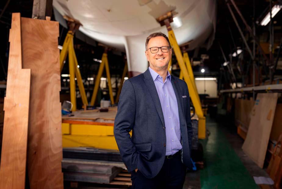
Former Oyster Yachts’ Executive Chairman, Ashley Highfield has now been appointed as CEO. Richard Hadida, owner of Oyster Yachts said, “Ashley and I have been closely working together on the successful turnaround of Oyster and growth of its topline revenues and brand…..Ashley has a deep understanding of our goals as a business, and I am truly delighted that he has accepted the role of Chief Executive Officer.”
Oyster Yachts is now in a great position to capitalise on the considerable investment made by Richard Hadida. The Oyster 495 recently won the prestigious European Yacht of the Year Award and has a strong order book and full build bays into 2025.
“It has been an honour for me to serve as Chair of this great British company for the past five years…. as its new CEO, I look forward to working with our impressive leadership team and our 600-strong highly skilled and talented workforce based in Southampton, Norfolk, Palma, and the US. We have a very clear vision for Oyster, and will continue to deliver the very best Britishbuilt, luxury cruising yachts in the world while ensuring that we run a sustainable and profitable business.” comments Highfield.
Industry Insider 30
The Islander #307
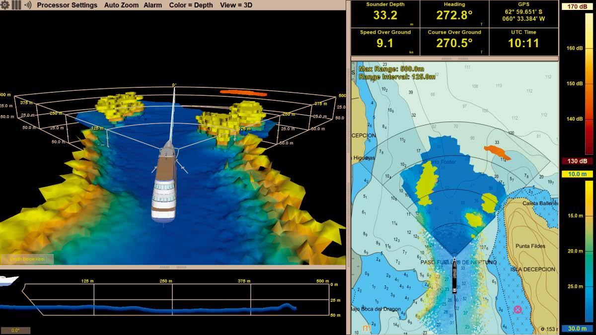
www.FarSounder.com ARGOS SONARS ALLOW USERS TO NAVIGATE SAFELY AND CONFIDENTLY. Real time imagery of the waters ahead out to navigationally significant ranges. See obstacles in the water column and shallows in real time along with depth history in 3D and on chart
The Islander #307
Forward Looking Navigation Sonar
IEC Telecom Group acquires Maritime Network Systems
Leading international satellite service operator IEC Telecom has acquired superyacht communications specialist Maritime Network Systems (MNS), further strengthening its position in the yachting sector. This acquisition will enable the company to expand its innovative portfolio of hybrid satellite/LTE solutions across the Mediterranean region.
MNS has been providing tailor-made satellite and LTE broadband connectivity services and solutions to the yachting industry for more than 22 years. Becoming part of the IEC Telecom Group means the firm’s high-end yachting customers will benefit from a wider range of connectivity solutions – including cutting-edge Starlink connectivity, customised VSAT systems, resilient L-band backup, plus IEC telecom’s collection of value-added services.
With 47% of world yacht trips based in the Mediterranean, this strategic move significantly strengthens IEC Telecom Group’s position in the yachting sector. Alongside its established east Mediterranean centre in Istanbul, this new VIP hub in Mallorca enables IEC Telecom to expand its service and support operations further to meet the growing demand for secure, high-throughput connectivity onboard yachts and superyachts.
“Welcoming MNS to IEC Telecom Group is a new milestone in our journey to transforming the maritime communications market. The niche expertise of MNS coupled with an advanced solution portfolio from IEC Telecom will enable real-time network management for captains and very high-throughput quality browsing for end-users,” explained Erwan Emilian, CEO of IEC Telecom Group.
Meros Yachtsharing welcomes CO2-neutral fuels for new 95 yacht
Meros has received approval for its new 95 yacht to use synthetic fuels in accordance with EN 15940. The introduction of the new fuel standard paves the way for the use of low-CO2 or CO2-neutral fuels. The superyacht Sunseeker Meros Signature 95 is equipped with modern mtu engines from Rolls Royce that are suitable for low-CO2 or CO2-neutral synthetic fuels. This will secure the Meros yachts’ entry into marinas and zero-emission zones in the eventuality of tougher restrictions regarding CO2-emissions in future.
Meros will start the first field trials this year with their new flagship, the Sunseeker Meros Signature 95. This yacht is predestined for the use of synthetic diesel fuel such as HVO. With the support of Rolls-Royce, Meros intends to prepare the company for a sustainable future.
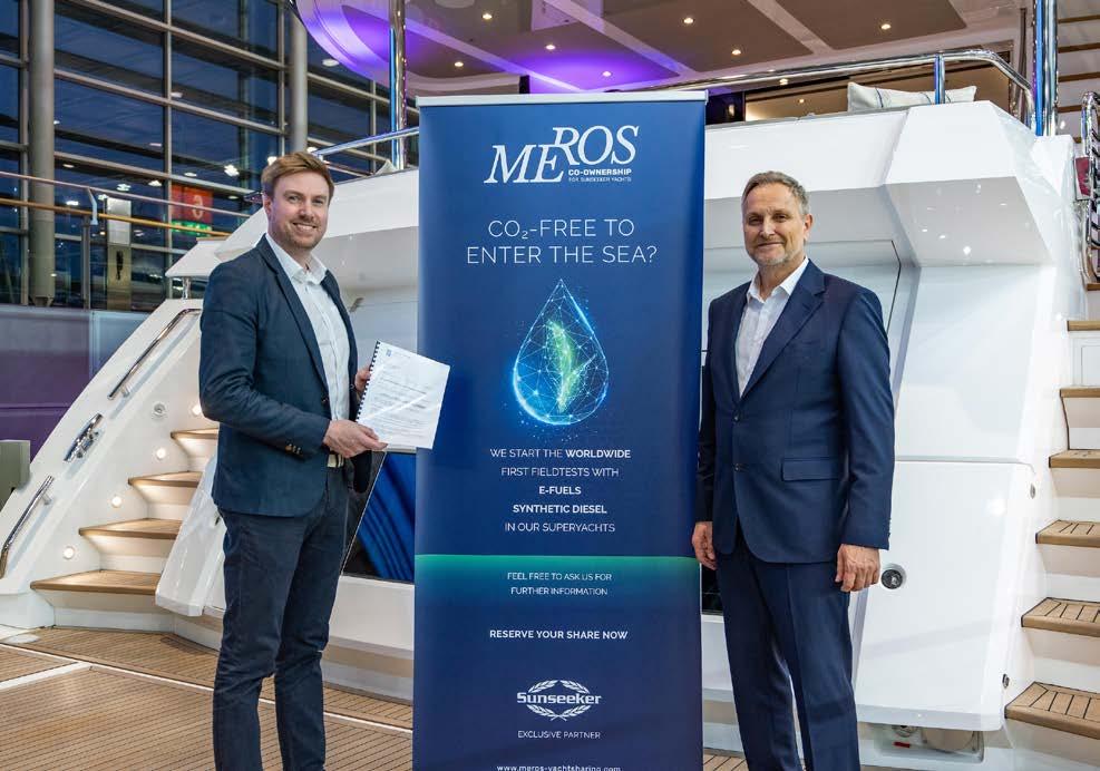
Meros will also evaluate the simultaneous operation of synthetic and fossil fuel (Simufuel®) as part of the field trials as well as working on solutions to be able to stock synthetic and fossil fuels separately to enable zone-dependent fuel selection.
Meros Yachtsharing is based in Malta, Spain (Balearic Islands), Germany, and soon in the UK. It was founded in 2019 by entrepreneur Martin Huber with the aim of providing the market with a genuine alternative to sole ownership of yachts with as few compromises as possible.
32 Industry Insider
Where your visions meet our innovation www.i3composites.com mike@i3composites.com (+34) 693 724 020 REFITS / REPAIRS / PRODUCTS / NEWBUILDS
Team Holcim - PRB wins Leg 2 of The Ocean Race
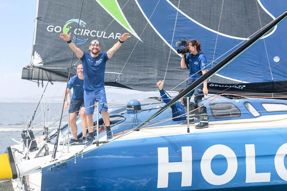
Skipper, Kevin Escoffier and his Team, Holcim-PRB have won Leg 2 of The Ocean Race from Cabo Verde to Cape Town after a tense battle through the final miles of the race.
This is the second consecutive leg win for Escoffier and his team, who maintain a perfect record and will extend their advantage on the race leaderboard.
YYachts Wins Design & Innovation Award
The 29.77m BELLA from YYachts won the ‘Outstanding Exterior Design Sailing Yachts’ category at BOAT International’s Design & Innovation Awards, making it their 5th award since 2016.
Michael Schmidt, founder of YYachts, comments, “Our team is insanely happy about this beautiful award. We are playing on par with the established players.”
The jury was full of praise for BELLA: “The yacht stands out because its design intelligently meets the client’s specifications and is so easy, comfortable and fun to sail that it will delight even powerboat owners.”
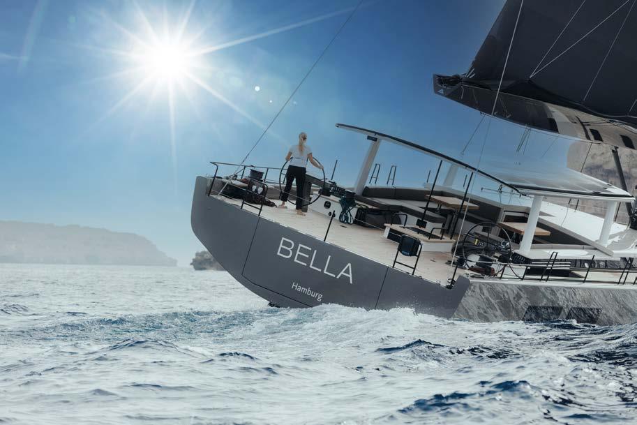
The exterior look and lines were developed by the in-house team in collaboration with Tripp Design & Naval Architecture, USA - one of the most renowned yacht design studios in the world. Several 90-footers are currently under construction at YYachts, as well as other models from the YYachts portfolio.
Recognising Excellence in Superyachting - Vote for The Honours 2023
The Superyacht Life Foundation and the Monaco Yacht Show have announced the nomination process for their inaugural Honours. The Honours recognise the people at the heart of the superyacht industry and praises their efforts to produce exceptional work and inspire meaningful change. Nominations are now open for owners, crew and industry professionals to put forward their suggestions for deserving candidates, and share their outstanding achievements with us. Honourees will be celebrated during the evening of 26 September 2023 in Monaco - the eve of the Monaco Yacht Show.
A nomination for The Honours can be given to anyone within or connected to the superyacht industry who is doing extraordinary things reflecting the extraordinary nature of our global industry: think preserving the environment, developing communities, driving conservation, advancing design and technologies, contributing to diversity and inclusion, or instigating positive change across the industry and beyond.
To cast your vote visit www.thehonours.org
34 Industry Insider
The Islander #307
Lürssen Launch Project 1601
Lürssen Yachts has announced the launch of Project 1601, a 90-metre displacement Motor Yacht. The exterior design is by Monaco-based studio, Espen Oeino International, while the interior design was created by Dölker & Voges Design from Hamburg. Team project management is by Cornelsen & Partner.
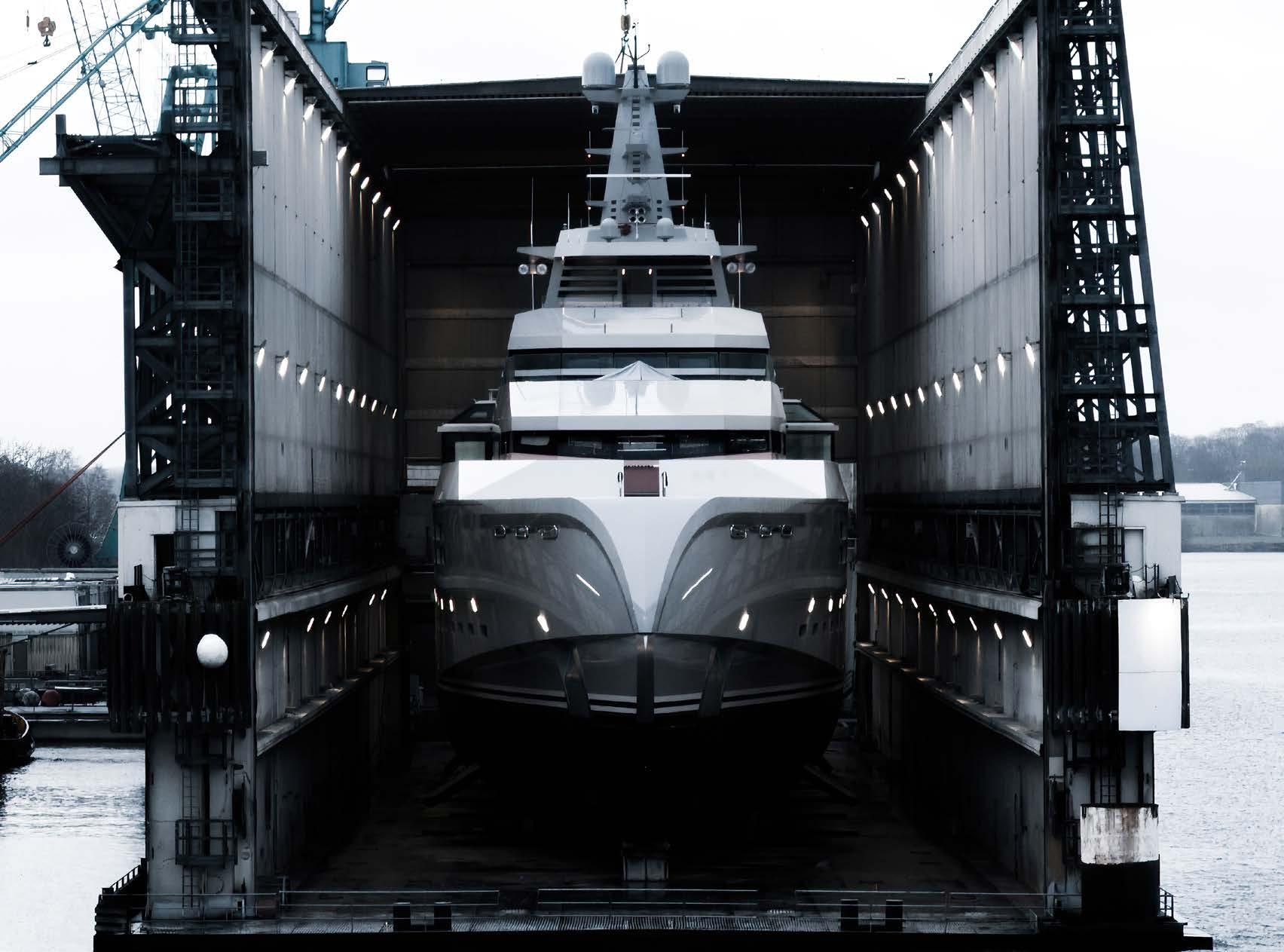
1601 will undergo sea trials and is expected to be delivered in the spring.
D-Marin Partners with Marinas Del Mediterráneo in Spain
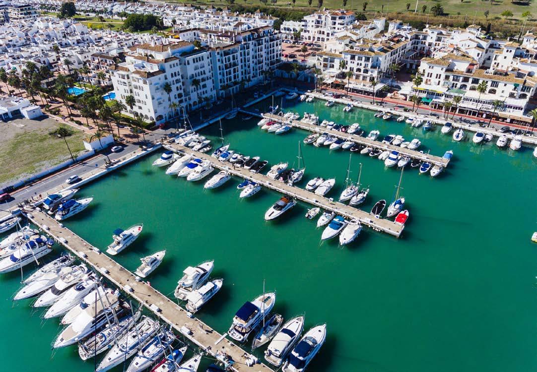
This marks D-Marin’s first venture into the Spanish market and the next milestone in its expansion strategy. D-Marin brings its international expertise gained from its existing 16 marinas across six countries to Andalucía, contributing to the development of leisure ports in the region. The three marinas in Marinas del Mediterráneo have more than 1,000 berths and will play an important role in D-Marin’s vision to create a premium marina network offering the highest standards across the Mediterranean.
Oliver Dörschuck, D-Marin’s CEO said, “We’re delighted to be forming this new partnership with Marinas del Mediterráneo, which promises to be a highly successful one. This is a milestone in our strategy to expand into the Western Mediterranean, with more marinas to come.”
Jose Carlos Martin, Founder at Marinas del Mediterráneo added: “Partnering with D-Marin was an easy decision for us as we are very aligned in our desire to exceed our customers’ expectations, especially in digital capabilities, thereby becoming part of the international D-Marin sales network. Welcoming D-Marin to Spain and working together for our customers’ benefit is our key focus now, and for many years to come.”
35 Industry Insider
The Islander #307
OCEANR expands with acquisition of ex-Adidas factory
What began as a collaboration with a garment factory in Latvia has ended up in an acquisition for Ireland’s OCEANR. The fast-growing sustainable clothing brand completed its takeover of a 1,600 m² production facility in early December, paving the way for further expansion in 2023.

The deal includes the garment factory near Riga, which was previously producing high-quality sailing apparel under licence for Adidas. But it also brings on board the factory’s existing staff of 60, who are evenly split between manufacturing and product development.
2nd Edition of the Experiential Yachting Forum at DIBS
Following the success of the first conference in Monaco in 2021, this month sees the second edition of the Experiential Yachting Forum. Held in Dubai on 2-3 of March 2023, in partnership with the Dubai International Boat Show - the leading yacht show in the UAE, GCC and the Middle East.
Topics such as Multifunctional Superyachts, Holistic Yachting, Preventive Health Care and Yachting, Experience Economy & Yachting, and Investment Opportunities in the commercial use of superyachts, will be discussed by expert speakers including Paris Baloumis at OCEANCO, Michael Breman at Lürssen, Francis Lapp at Sunreef Yachts and Peter Economides.
Soel Yachts unveils 62ft solar electric yacht
The Soel Senses 62 is a state-of-the-art multihull 18.8-metre solar-powered yacht. It is equipped with cutting-edge technologies that ensure high efficiency and ocean-crossing capabilities thanks to the DC genset.
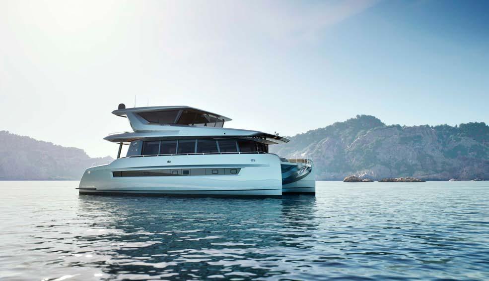
Core values such as efficiency, sustainability and clean design guided the Soel Yachts design team to create a streamlined yacht that offers a future-proof yachting experience.
The yacht’s integrated solar roof generates 17.6 kWp of solar energy, equivalent to up to 50 kWh, allowing her owners to cruise off-grid. Soel Yachts’ proprietary active cooling system for solar panels increases energy harvest by 15-20%, a unique and industryleading innovation.
36 Industry Insider
The Islander #307
British Princess Yachts sold to US Investors
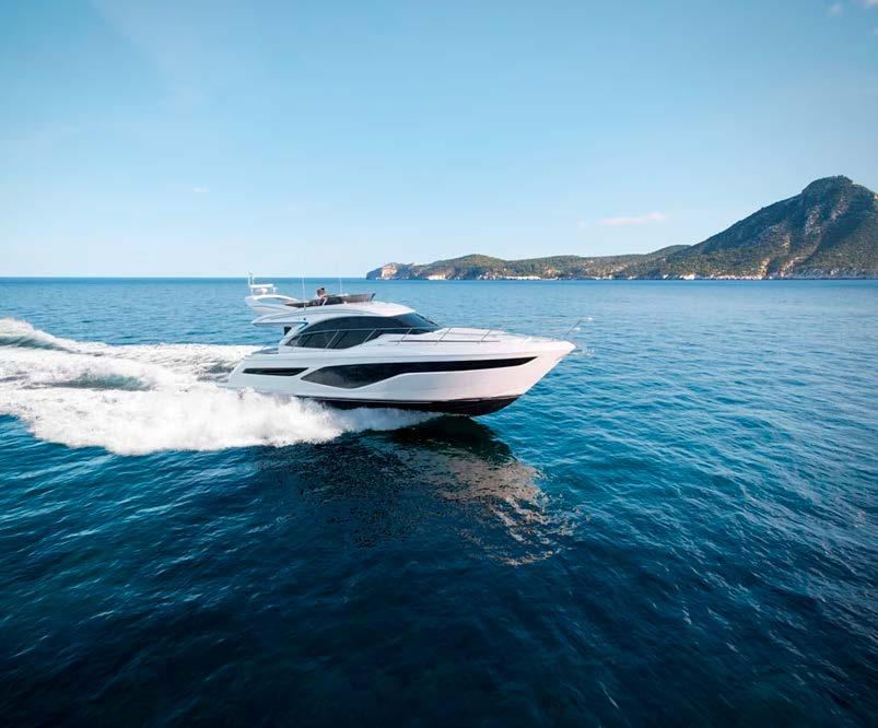
KPS Capital Partners has entered into a definitive agreement to acquire a controlling equity interest in Princess Yachts. Existing stockholders will retain ownership in the Company. Completion of the transaction is expected in the first quarter of 2023 and is subject to customary closing conditions and approvals.
Ryan Harrison, a Partner of KPS Mid-Cap Investments, said, “We are excited to make this significant investment in Princess Yachts, a leading company in the luxury global yachting industry with an iconic brand grounded in British tradition, a remarkable and growing product range and worldwide reputation for quality and innovation. KPS’ investment will accelerate Princess’ growth trajectory and fund numerous investments for its future. We look forward to working with Princess’ existing stockholders, Chief Executive Officer - Antony Sheriff, the senior leadership team and the talented employee base at Princess Yachts.”
Antony Sheriff, Chief Executive Officer of Princess Yachts, said, “We are thrilled to partner with KPS for this exciting new chapter for Princess Yachts. KPS and the Princess Yachts team are deeply committed to investing in the Company’s future while continuing to further strengthen our portfolio of best-in-class motor yachts.”
37 Industry Insider
The Islander #307
Introducing @Miss_Yacht –The Islander’s latest
Editorial Contributor
Interview by Jens Oomes
photos by Sophianna Bergonzi
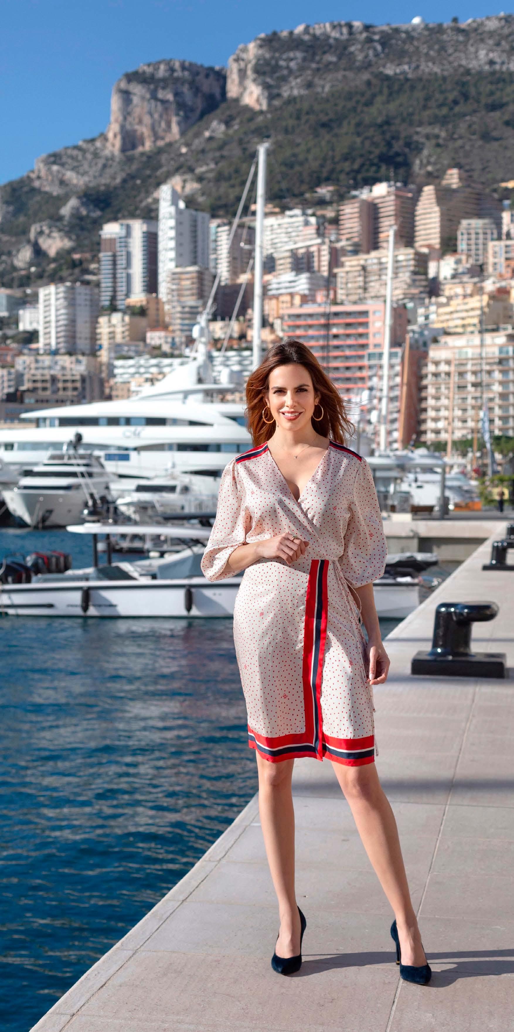
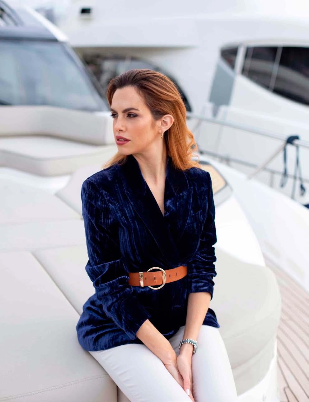
Sophianna Bergonzi is a Monaco-based yachting social media personality who creates gorgeous and informative content. We are proud to have Sophianna Bergonzi on our team and as an Islander Magazine representative in The French Riviera. She will take The Islander readers on her journeys in which she discovers what’s new in the world of luxury and yachting in the South of France, Monaco, Italy, and other incredible yachting centers.
She is the founder of Miss Yacht Show, an online yacht show introducing premium yachts, shipyards and the talents within the yachting industry worldwide. She is also a dedicated guide for yacht owners who are seeking practical advice or help on sales and charter.
38 Industry Insider
The Islander #307
Please tell us about your story
I’ve always had a life quite out of the norm. I am FrenchColombian and grew up between the two countries. That made me have a sort of fascination for international living. So when I was 19 years old, I moved to the USA. Five years later, I moved to Russia for two years, then to France, and finally, I have settled in Monaco.
How did you end up becoming a yachting personality in Monaco?
When I discovered the yachting world I was fascinated. I had the opportunity to become a yacht broker in Monaco and fully immersed myself in the industry. I attended events, yacht shows, spoke with the experts, and got so passionate about it that I felt the urge to share this passion with everyone. That’s when Miss Yacht was born.
What is the purpose of the Miss Yacht Show?
I am creating a space where the community can exp erience through impeccably curated videos, the finest work performed by the experts of the industry. From the first lines drawn by the yacht designer to the process of building in the shipyard, and finally the experience on the sea.
You can also discover the latest events happening around the world in the yachting industry, and last but not least, you can find in me a friend who can help you navigate the mysterious waters of the yachting industry.
You share your Instagram content in a very informal manner. Is there a reason for this?
Absolutely! I’m all about authenticity, joy and fresh vibes. My best reward is when my audience tells me how I make them feel; I make them laugh; feel calm; happy; maybe sometimes even a little sad. Yachting is all about sensations and experiences, so I want to be informative but from an experiential standpoint.
How do you feel about being a young woman in this industry?
It’s funny to say so, but even in 2023 women are often un derestimated, especially in an industry such as yachting, where I would say more than 90% are men. It takes great effort to be recognised by our abilities when we are surrounded by so many strong and experienced men, especially on the technical side. But for the same reason, there are many fantastic people that have been willing to mentor and collaborate with me once they understand my professional vision.
What is it like to be a yacht broker in Monaco?
It’s really fascinating. I do love the lifestyle, the vibe, and the beauty that surrounds the region. I also find myself in the right place in Monaco, because as you may know, it is very cosmopolitan so I get to interact with different cultures and speak different languages throughout the day. And of course, Monaco is a huge yachting centre with so many events happening and good opportunities to be fully immersed in the industry.
What are your plans with Miss Yacht?
My ultimate goal is to grow the show, creating a space where everyone can discover and be discovered. Designers, providers, shipyards - we all have a vital role in this industry and my goal is to show, in an informative, yet elegant and entertaining way, all the aspects of the yachting world. I want to be recognised as a friendly face who can help and unite the community on a global level. My philosophy of work relies more on collaboration than on competition - united we are stronger.
What is your ultimate dream for your career?
Miss Yacht is already my ultimate dream come true. Every day I am thankful. I’m joyful to wake up; to meet and help wonderful people. I live in the most beautiful place on Earth, I work with yachts that I see as masterpieces, and people that I believe are true artists and geniuses. I am as happy today as I will be at the peak of my career.
39
Industry Insider The Islander #307
Matthew Attard +356 2123 5406 mattard@ganado.com www.ganado.com
Matthew Attard is a Partner within Ganado Advocates’ shipping and yachting team, with particular focus on the registration and sales/acquisitions of vessels, the formation and support of shipping organisations and companies,. Matthew regularly assists clients in corporate matters and M&A transactions as well as major financial institutions and owners in the financing of vessels and related matters.
More Regulation for a better Environment?
written by Matthew Attard
Attard
Regulation Environment
Yachting and Environmental Sustainability are typically considered to be opposing concepts. Yachts are regarded as expensive non-essential assets that are intrinsically linked with excess.
People who know very little about the yachting world tend to be the ones most irked with the negative environmental impact left by it,
and can be rather forceful in voicing their opposition. Whilst their concerns can be considered legitimate, the yachting industry is not going anywhere, anytime soon. Therefore, all players must find ways of mitigating their environmental impact. Luckily enough, the new –and often younger- generation of yacht owners are more conscientious about reducing their carbon footprint. Yacht manufacturers are appealing to this ever-growing segment of the market by building increasingly ecofriendly yachts. Lower consumption of fossil fuels by implementing energy-efficient technologies such as solar panels; lighter and streamlined structures; and the use of more sustainable materials on board are the main focus.
Lawmakers are looking to further regulate the yachting industry.
Existing laws, such as The Recreational Craft and Personal Watercraft Directive, is one example of legislation introduced by the European Union. This Directive sets out emission and energy efficiency
standards. These must be met by manufacturers, importers and distributors before they can place recreational vessels on the market. Additionally, the International Convention for the Prevention of Pollution from Ships (MARPOL) is an international treaty that sets international guidelines for the prevention of marine and air pollution from ships - this also includes yachts of a certain size. The goal of these regulations is to push the yachting industry towards a more sustainable future, by encouraging the use of eco-friendly technologies and practices.
Even though the carbon footprint left by the yachting world is still relatively small compared to other transportation and manufacturing counterparts,
it has become more conscious of the need to portray a greener image. It is keen to show its participation in the fight against global warming and striving for cleaner seas.
However, overregulating the market also has its dangers. Lawmakers have a role to ensure that they strike a balance between environmental needs and the realities of the industry. They need to act sensitively, consult the stakeholders, and determine that any new law is capable of being adhered to. The introduction of new laws must not result in creating unnecessary strain on the consumer or the manufacturer and should avoid eroding the lustre and continued growth of this important industry.
40 Industry Insider
photo by Matthew
The Islander #307
Environment
Crew Life
How the Yachting Community can help charting the Planet’s Seabed
The Crew CoachBecome A Transformational Leader
Ship to Shore - David Ireland
Impact Crew - Crew Sustainability
Meet The Crew - David Lawrence
MSOS - Do you have an Accident Management Plan?
Save the Med with SailGP –On Course for a Sustainable Future
Accident Reports by CHIRP
Alnitak - A Chance for Yachties to Preserve our Oceans
How the Yachting Community can help charting the Planet’s Seabed
 written by Matthew Zimmerman photos by FarSounder / Christopher Scholey
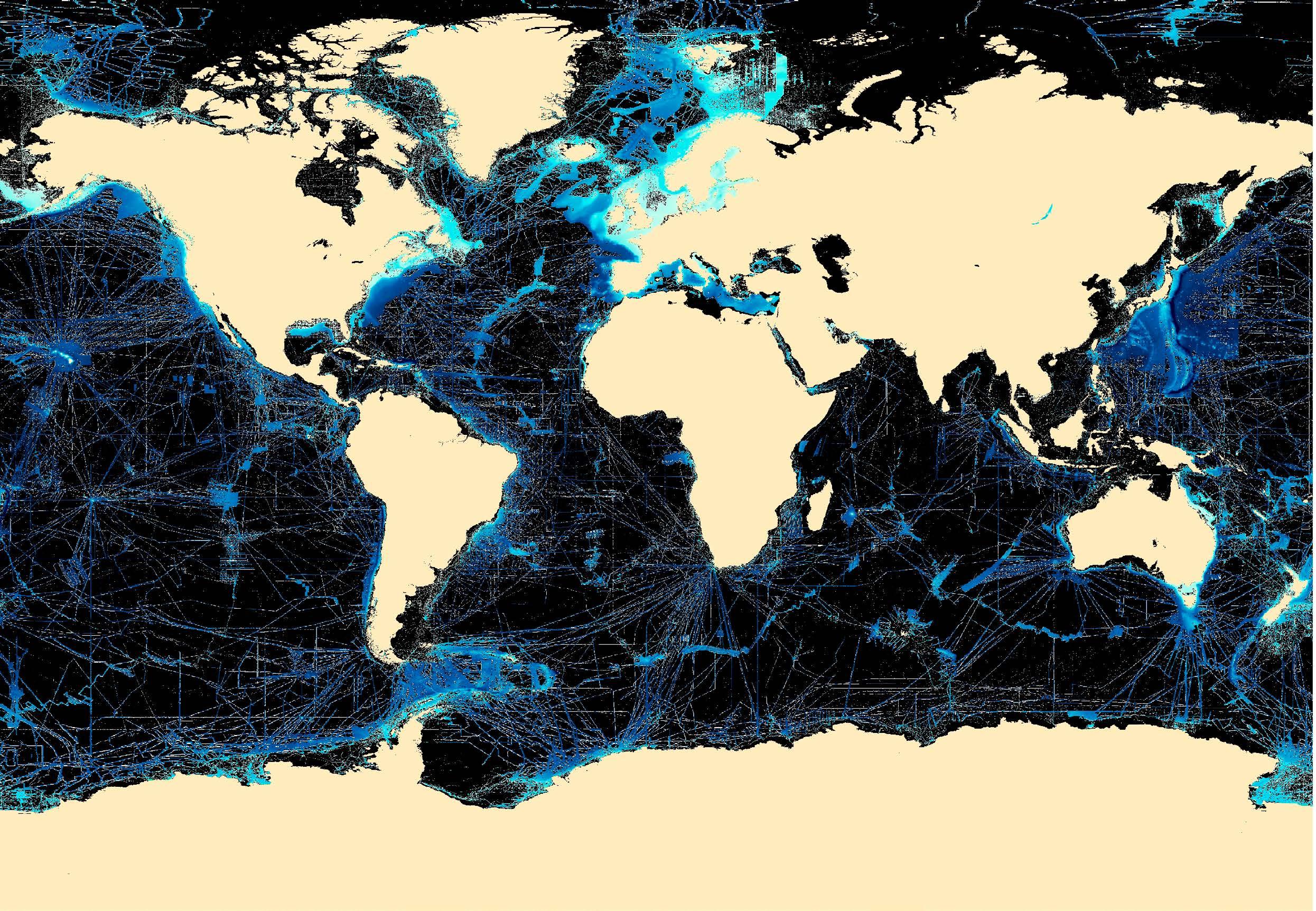
One allure of yachting is the adventure of cruising through pristine waters and voyaging to some of the most exclusive locations in the world. Exploration into the unknown allows us to be immersed in the unspoiled beauty of our marine world. According to Seabed 2030 (a global initiative to map the world’s oceans by 2030), we’ve mapped less than 24% of the world’s sea floor.
We know the topography of the Moon and Mars in greater detail than that of our own planet.
The most fundamental characteristic to ensure safety when sailing the oceans is knowing how deep the water is. Mapping the seafloor’s bathymetry is a critical key in safety and scientific endeavors to understand ocean circulation, tides, tsunami forecasting, fishing
resources, and environmental changes.
Of course, knowing what’s underwater ahead of your vessel is also paramount to safe navigation. You might think that everything you need to know is already on your nautical charts. However, even in well-charted areas, you would be mistaken. The US has some of the best charts in the world yet according to the National Oceanic and Atmospheric Administration (NOAA) “about half of the depth information found on NOAA charts is based on hydrographic surveys conducted before 1940” , and “in too many cases, the data is more than 150 years old. Sometimes, particularly in Alaska, the depth measurements are so old that they may have originated from Captain Cook in 1778.” Take a moment to think about the reliability of the chart data when you’re navigating in the ‘exotic’ locations your guests’ itineraries demand.
44 Crew Life
The Islander #307
Our map of the world’s sea floor. The blue/cyan markings indicate the only areas that have been mapped at 100m resolution or better. Image Courtesy of Seabed 2030.
Fortunately, yachts have a wide range of navigation tools to help them navigate such waters more safely. Furthermore, while navigating in these locations, yachts can now become a part of the solution through a worldwide crowdsourcing initiative. They have the opportunity to contribute to the global community by recording their depth and position observations along the way.
Jennifer Jencks, Director of the IHO Data Center for Digital Bathymetry (DCDB), is the Chair of the IHO’s Crowdsourced Bathymetry Working Group (CSBWG). She shares that:
“measurements collected by the yachting community are a valuable contribution to the IHO’s crowdsourced bathymetry efforts. All contributions are made available for public use and are included in the Seabed 2030 initiative.”
 Matthew Zimmerman CEO FarSounder, Inc.
 +1 401 784 6700 x6212 GMT-5
matthew.zimmerman@farsounder.com www.farsounder.com
151 Lavan Street, Warwick, RI 02888, USA
+1 401 784 6700 x6212 GMT-5
matthew.zimmerman@farsounder.com www.farsounder.com
151 Lavan Street, Warwick, RI 02888, USA
Participation is an easy way for the yachts to contribute to the wider, global community while operating in their ‘typical’ manner. For example, The International SeaKeepers Society actively recruits its members to collect data and organizes submissions directly to Seabed 2030. Similarly, the IHO and the Yacht Club de Monaco recently highlighted their collaboration. Participating vessels are outfitted with a simple data logger, which records their echosounder measurements.
Yet another example is collecting recordings from FarSounder’s Argos 3D Forward-Looking Navigation sonars. These advanced sensors can record more
Crew Life The Islander #307
sophisticated information and measure a wider swath of depths compared to a standard echosounder.
The FarSounder’s Argos series sonars are designed primarily as a real-time, forward-looking sensor for obstacle avoidance. These navigation systems can provide a 3D image of waters and bottoms ahead of the yacht out to 1000m range. However, FarSounder’s sonars also include their Local History Mapping feature which builds a map of the bathymetry everywhere the yacht transits.
The standard configuration of FarSounder’s sonars is a stand-alone system that keeps all the data inside the software. However, FarSounder customers can choose to participate in the company’s Expedition Sourced Ocean Data Collection Program. Participants are sent a USB hard drive for recording raw data. When the drive is full, it is sent back to FarSounder for compilation.
“Observations collected and contributed by the yachting community can provide depth measurements from locations often not covered by formal surveys,” says Dr. Mathias Jonas, Secretary General of the IHO. “These unique contributions play a key role in our crowdsourcing efforts and can help increase our knowledge of what is happening below the surface”.
Jamie McMichael-Phillips, Director of Seabed 2030, echoes this sentiment,
their itineraries and daily activities. For those vessels where privacy is
their contributions can even be anonymized before submission.”
There are many uses for crowdsourced data and new applications are being developed by engineers, scientists and hobbyists around the world. The Canadian Hydrographic Service (CHS) recently demonstrated how crowdsourcing data from trusted sources can help fill the gaps in traditional hydrographic surveys.

They produced an update to chart 7053 including data collected by a vessel equipped with FarSounder sonar and made available through the DCDB. The CHS had no survey data from this part of the Northwest Passage. By using the customer-submitted recordings and metadata about the vessel, the CHS was even able to assess the quality and reliability of the measurements.
In another example, multiple vessels operating off the coast of Antarctica during the past two seasons participated in the FarSounder program. When those drives are returned, it is hoped that there will be recordings of multiple voyages over similar locations which will allow for the generation of a large surveyed area. There are plans to repeat this effort in subsequent years through FarSounder’s program with the hope of not only expanding the coverage of the surveyed area but also producing information about the seafloor as it changes over time. Such observations of the Antarctic seafloor have never previously been collected and could be a unique perspective for scientists who are studying climate change and polar ice caps.
Heath Henley, PhD, Senior Application Engineer at FarSounder, notes that:
“Yachts often operate in locations that are outside the standard, commercial shipping routes and can offer access to scientific observations that may otherwise not be made. These opportunities can be achieved with no significant cost while the vessel operates normally. We’re proud that our customers are able to contribute in this way.”
Through participation in crowdsourcing activities, the yachting industry has an opportunity to provide unique and valuable contributions to the global community and expand our understanding of the world. Keeping the oceans safe is a mutual goal for all and FarSounder is proud to play their part in connecting their yacht customers with the Seabed 2030 initiative.
“Many yacht captains don’t realize that they have an opportunity to provide real value to the global community without making changes to
a concern,
The Islander #307
Become a Transformational Leader
 written by Karine Rayson illustration by @octaviasart
Transformational leaders are the ones who create happy teams and positive working cultures. They’re the people others look up to and want to emulate. They inspire their teams, challenge them to grow, and walk alongside them, helping them achieve their desired goals. Transformational leaders are hard to find, especially within a hierarchical structure such as yachting, where the autocratic management style is prevalent. Leadership differs greatly from management; leadership requires a tapestry of skills that motivates individuals to give their best and demonstrates the team’s/vessel’s values with pride.
Being a transformational leader first requires you to focus on self-leadership. If you are not aware of your blind spots or are ignorant of feedback, you will, unfortunately, lose respect fast and won’t be recognised as a leader that people want to follow. In The Crew Coach Advanced Leadership Course, the students embark on a 3-month journey where they learn how to be a transformational leader that positively influences and builds a team for success.
They bring clarity to the vision
• They know what they want to accomplish for the greater good of the team, and the Owner’s experience
• They have a vision for the future that aligns with the core values of the vessel
• They are able to communicate that vision to the crew with confidence. To be effective, they need to know how to communicate their vision in a way that will be remembered by others and inspire them to work towards it.
They aren’t afraid to change to get there
Leaders who are willing to adapt and change will be the
most successful. They are open to hearing others’ input and ideas and are flexible to pivot if necessary.
If you want to be a transformational leader, you need to consider ideas other than your own; be transparent; make decisions; and move forward with them. Being decisive is crucial for any leader. If they are making decisions based on self-interest rather than on behalf of their team, they will lose respect fast.
They continually grow and learn
Transformational leaders are willing to learn new skills and acknowledge the areas they need to further develop. They must also accept constructive feedback from others, even if it makes them feel uncomfortable. And perhaps most importantly, they must always be open to asking for help—whether from colleagues or mentors in the workplace.
They listen to their people
Listening is a truly underrated leadership skill. Listening help s you to understand the needs of your crew members. This can lead to increased productivity, morale and job satisfaction. It also allows you understand where the crew are at mentally. This helps keep a pulse on their work environment so that improvements can be made, if necessary.
48 Crew Life
The Islander #307
Listening is not just about hearing what others say; it’s about understanding what they mean by those words, followed by demonstrating empathy and taking action.
They create high-performance teams
Transformational leaders are good at creating a team environment. They build trust, which is necessary for building high-performance teams. This means that if you’re a transformational leader, people know that you have their best interests at heart and you care about them as individuals.
They also tend to be good at delegating tasks and helping the team achieve goals by getting people to work together effectively—something that’s very important in any type of job or career path.
They’re optimistic and enthusiastic
Optimism is contagious. Optimists help to make those aro und them more optimistic and enthusiastic about their work. This can create a positive and vibrant culture for your organisation. Being optimistic isn’t easy, but it’s something that you can practice every day by looking for the good in every situation.
Optimism is a choice. You don’t have to be an optimist if you don’t want to be—but being an optimist will have a positive effect on your life and career! There are many benefits of being an optimist: they’re happier (and therefore healthier), they’re better leaders, and they tend to achieve their goals faster than pessimists. This is because they look at every challenge as an opportunity rather than something negative or scary.
Being a transformational leader is tough, but rewarding

Being a transformational leader is tough because it requires you to put your needs aside and focus on your team members. It requires a deep understanding of human behaviour. However, the gain is invaluable. As a transformational leader, you are a role model, a source of inspiration and motivation, and a source of knowledge and encouragement amongst others.
Being a transformational leader means that you are able to understand the needs of your crew. You can then help them fulfil those needs and improve their performance as individuals.
Transformational leadership involves developing a crew member’s skills, for example, by providing training or coaching on how to become better at what they do, or perhaps moving them into other possible roles on board. It also involves providing support when needed (for example, when an employee has been through something difficult).
Conclusion
Karine Rayson Director The Crew Coach
T: +61 402065101
E karine@thecrewcoach.com
W www.thecrewcoach.com
Skype karine_rayson
Karine has a Bachelor of Social Science in Organisational Psychology and Psychology, Postgraduate Diploma in Counselling from the Australian College of Applied Psychology and a Postgraduate in Collective Entrepreneurship from Torrens University. She helps Crew become confident leaders, master their own mental health and access a powerful network of industry leaders.
Now that you know why it’s important to be a transformational leader, you can start to develop your leadership style. The best way to do this is by listening to your people and learning from them. Remember that you don’t have all the answers, but if others are willing to share their thoughts with you, then maybe together you can make the world a better place! If you would like to become a transformational leader, The Crew Coach offers 2 x courses per year.
Head over to www.thecrewcoach.com for more information.
For more on how The Crew Coach can help you visit www.thecrewcoach.com
49 Crew Life The Islander #307
Ship to Shore Interview with David Ireland
interview by Melanie Winters
by David Ireland
Tell us a little about yourself
I am 51 years old and have been living and working on Mallorca for over 18 years. I’m married to Lucy with 3 beautiful girls. We moved from the UK in 2005 and bought an established yachting business called DECKERS, supplying crew uniforms to yachts, which we operated for 15 years. Now I’m excited to be heading up the Key Accounts department of our new company, Superyacht Uniform.
My love of sailing came from my Dad, who was a successful offshore racer. I became a member of the West Kirby sailing club at 4 years old and joined the Sail Cadets British Team at 10 years old. Sailing has always been in my blood.
My first job was also around the age of 10, selling caramelised peanuts on the beach in France. My Dad would take me down to meet the local “beach seller” every day and I would help him sell his ware - getting paid in peanuts of course! My Dad was “old school” and I learned early in life that you don’t get anything if you don’t get up and go to work!
When I was 14, I mopped floors at the local MercedesBenz garage. I then went on to study engineering at the University of Westminster and got my first paid yacht job in 1991, straight after university.
How did you get into yachting?
I was delivery crew on a sailing yacht called Borkumriff. We left North Wales and sailed over to the Canaries to prepare for the ARC race. It was a hairy experience as we got hit by a huge storm in the Bay of Biscay and spent 11 days drifting whilst we repaired the boat. When I finally got to the Canaries, I picked up a passage across the Atlantic to Saint Lucia and from there, I caught a lift to Antigua. I found my first paid job on the Feadship, Double Haven.
Funny story, I was dock walking in Nelson’s Dockyard, when I recognised a friend’s voice. He was working on board the first yacht I was handing my CV to. His boat didn’t need any crew, but he shouted to the boat next door (which also didn’t need anyone) and they shouted to the next one and so on. By the time I reached the 4th boat, they, fortunately, did need crew! This was on Christmas Eve and the best Christmas present I could have ever wished for!
Can you tell me about your yachting career –highlights, low points?
Low points:
• Cabin fever and missing important events, such as birthdays, marriages, and sadly, some funerals. But I was away working, so there was nothing I could do about it.
50 Crew Life
photos
The Islander #307
Highlights:
• Definitely some of the destinations I travelled to. My favourite being Alaska, as it was always on my bucket list. The people in Israel were very friendly, Japan was absolutely fascinating and Hong Kong felt like home from home! So much so, after leaving yachting I went to live there for 5 years.
• The adventure. Every day there was something new. Nobody could ever say to me, “Go out and broaden your horizons” - we literally saw the world.
• Like-minded people that, in the years before social media and mobiles, you did not see or hear from again, but you got to spend quality time with them.
It went full circle because just after I had decided to leave yachting, I received a message from the first owner asking if I wanted a delivery job! So, I went from a deckhand in my first boat job to delivery captain on my last -both on the same boat- the perfect way to end my career! I loved working in yachting. The experience was second only to having my kids and family. How did you know it was time for you to make the move to land?
Simple really, I wanted to wash my car on the driveway an d own a cat! Shortly after arriving home, I was lucky enough to have saved enough money to buy my first house - without a mortgage! I also bought a car and adopted a cat called Rodney! However, I never did get to wash my car as my best friend owned The All-American car wash and did it for me!
What was the most difficult thing about the transition?
UK weather and paying tax!
What was the best thing about it?
The best thing about the transition from yachting to the real world was the flexibility I had. In the early years in Hong Kong, I could go out and do what I wanted without being on a watch rota.
What do you do now?
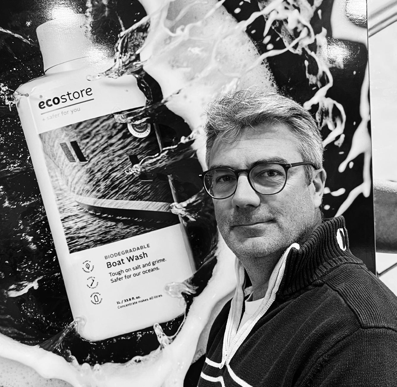
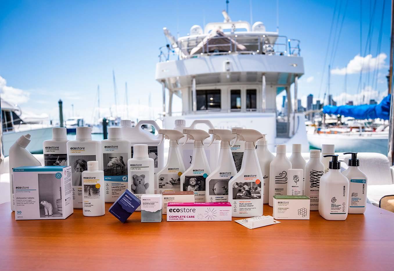
After nearly 20 years of supplying crew uniforms to the superyacht industry, I came across a product that not only complemented what we were doing, but one that genuinely got me excited because of the difference it could make to our industry. Two weeks later, SUPERYACHT ECO was born with a partnership and distribution agreement for the ECOSTORE product range.
Ecostore manufacture and supply interior and exterior cleaning and laundry products for your yacht and home. Also, body, skin, baby and oral care products that
are unrivalled. The products are all plant and mineral based, and the packaging is made from sugarcane and recycled plastic bottles pulled from the ocean. Sugar plastic is a renewable, recyclable plastic that captures CO2 as it grows. By using plastic made from sugar instead of petrochemicals, CO2 is captured from the atmosphere rather than released into it.
Ecostore is a Certified B Corporation®. This certification is recognised globally as the highest standard for social corporate responsibility. ‘B Corps’ are companies that formally commit to using the positive power of business to solve the world’s social and environmental problems. It has a zero carbon footprint; when the products leave in the container to be sent to us, they already have a negative carbon footprint due to the sugarcane used in the production.
The education Ecostore has given me has also changed how we think about our uniform supply. We can now offer more sustainable crew uniform options from our sister company Superyacht Uniform, which has been overwhelmingly welcomed by the whole industry. Sustainable clothing is definitely taking off, with more and more crew opting for uniforms that are “ecofriendly.” Our best-selling model of 2022 was a shoe called “Tropic Feel” which is made from 100% recycled plastic bottles taken from the ocean.
Within the marine industry, there’s an increasing awareness of the health of our oceans and a growing movement to minimise the ecological impacts of onboard activity. We’re proud to support this movement. We have a studio showroom in Santa Catalina (Palma) and warehousing in both Mallorca and Holland.
What do you miss most about yachting?
Being on watch on night passages. They were so peaceful and calm. The tranquillity of the ocean, the sound of the wind and the blanket of stars. Taking time out for yourself. I have never experienced anything else like it.
Do you have any advice for fellow yachties about going land-based?
If you think the work is hard on a boat, just wait until you own your own business! It’s tough! Be prepared for the 24-hour days, 365 days a year…even your holiday is not an actual holiday. That said, it can be very rewarding as you are doing it for yourself. When I first started 16 to 18hour days, 11 months a year was the normal routine - no job in the world allows this, until you work for yourself! Yachting can be a great apprenticeship into a world of your own, if that is the path you want to choose.
51 Crew Life
The Islander #307
Crew Sustainability
written by Karen Passman photo by Karen Passman

The crew is at the heart of any vessel’s success. However beautifully designed a vessel may be, or comprehensive the safety equipment, it is the crew’s attitude, behaviour and performance that will make or break a guest’s trip. An owner or charter guest’s experience is so much more than the nuts and bolts of the vessel. Charterers will often rebook a yacht because of the amazing experience they had with a particular crew. You hear stories of a charter guest having such a great experience that they bought the yacht, captain and crew as an entire package! The sustainability of the crew is key.
What are the secrets to crew sustainability? What do we need to do to attract, manage and retain them? It’s probably not as complicated as it sounds, but it is a challenge. High crew turnover is something many yachts and yacht owners experience.
If we attract the right people to start with, we have a fighting chance. In the business world, it is common practice to use job or role profiling when recruiting. This helps to better understand the skills and, most importantly, the qualities that the right candidate should have. Yet all too often, crew members are recruited based on qualifications and experience alone. Through psychometric profiling, a process adopted by the corporate sector, it is believed that the chances of a successful placement increase significantly.
What is stopping our industry from using these tools more frequently to achieve success for the yacht, crew and owner? Part of the reason may be the short timeframe in which many positions need to be filled, often due to crew leaving with little or no notice at all. Managing burnout is another issue, with some owners or management not valuing crew sustainability.
Managing the new crew member into their role is crucial. Every yacht will induct a new crew member in terms of safety, where the fire extinguishers are located, the exit routes, security of the yacht, etc. But there are often ‘unspoken’ rules not clarified, such as “on our boat whoever opens the dishwasher when it has finished is responsible for emptying it”. What do you do when
Karen Passman Impact Crew
Impact Crew offers onboard team and leadership development. Contact us to see how we can support you in effective recruitment, management and retention.
a new crew member ignores this unspoken rule? Do you talk about it, let it go, or hope somebody else says something? Often, senior crew turn a blind eye, but perhaps the fairer approach would be to keep clear lines.
In our crew turnover survey, 64% of junior crew left because of the leadership they experienced on board. Many comments were around a perception of favouritism, differing standards and allowing crew politics to fester. Managing crew is tough. You need to be brave, honest and competent - all at the same time. The quality of leadership drives the onboard culture. Crew will be loyal to a yacht that is falling apart if they feel valued, appreciated and respected. When the culture is right and crew pull together, working feels effortless. There is ease and energy, and disagreements are swiftly overcome. Inspiring and motivating crew doesn’t need to cost a fortune. Developing crew on the job, giving an unexpected afternoon off, or a genuine ‘thank you’ can make all the difference.
When looking at crew retention, individuals rarely leave for a single reason. It’s much easier to stay than to find a new job. But give them a reason to start looking for a new position and they have already decided to jump ship – it’s now just a case of when.
Improving crew sustainability remains a challenge for the industry. Senior crew need the tools and confidence to manage effectively. Leadership is an ongoing journey. It’s not just a HELM course – it’s about taking the tips and tools learned, applying them in everyday life and forming new habits. This takes time and commitment. You never stop learning and developing your leadership skills. People are like the wind – you never quite know what you are going to get tomorrow. The more tools you have in your kit bag, the more effective you become at leading crew.
52 Crew Life
www.impactcrew.com info@impactcrew.com t: +44 (0)1425 614 419
In John Donahoe’s words:-
“Leadership is a journey, not a destination. It is a marathon, not a sprint. It is a process, not an outcome.”
sustainability The Islander #307
sustainability
Meet the
Meet the Crew David Lawrence
interview
Tell me a little bit about yourself…
David Lawrence, 41. I’m originally from Ayrshire in Sco tland but now live in Mallorca with my beautiful wife Jo and 2 children. As a kid, I tried dingy sailing in the UK but I really didn’t enjoy it because of the cold weather - and the teacher. I didn’t get back into sailing until I joined yachting.
What did you do before yachting?
I studied for a degree in Hospitality Management at Caledonian University. For the next 4 years, I held various hospitality positions, including front-of-house and assistant bar manager.
How did you get into yachting?
Firstly, I had a friend, who worked as an Engineer on a mo tor yacht. He kept coming home and showing me all the photos of his travels (swimming with turtles in the Galapagos Islands being a fine example). It looked like he was having an amazing time – and getting paid for it! He said I definitely had the personality for yachting and so the seed was firmly planted.
Secondly, I was diagnosed with a skin condition. The dermatologist told me I either had to go on a sunbed 4 times a week or move to a sunnier climate! I didn’t want to look like an Umpalumpa, so I gained my STCW and set off to the Caribbean in search of a job, killing two birds with one stone. By the end of the Caribbean season, I had a delivery back to Palma, which is how I ended up living here.
I started as a Deckhand and worked my way up to Mate. I enjoyed the longevity and spent 9 years working on two boats. However, due to family commitments, I decided to leave full-time yachting and set myself up as freelance. My main work now is engineering and refit projects. Even when I was working on deck, the Captains and Engineers always saw me on the tools and asked if I could help out in the engine room - I’ve been there ever since.
What are the best parts about working on board?
For me, travel. I got to see so many different places.
What are the worst parts about working on-board?
These weren’t actually working on board but were two really bad experiences:
• I broke a couple of ribs playing Touch Rugby, getting dump tackled on Pigeon beach in Antigua not long after I had arrived. ABSAR search and rescue were called out. I was in so much pain, I thought about leaving the island but decided to stay. It’s a good job otherwise I never would have got my first yacht job!
• The other bad experience was a crew night out where I got food poisoning in a local restaurant in Saint Martin and went into anaphylactic shock!
What has been your favourite boat you’ve worked on and why?
Motoryacht Solaia (40m Haakvoort) The owner, crew and guests were all lovely and treated us like family. The crew always got invited on excursions with the guests. The owner was always happy for the crew to go out. He would say he was too old and loved living vicariously through us. The next morning, he would want to hear our stories of the night before!
One of the more memorable experiences was when we were anchored off St. Lucia and he treated us to a day off at the five-star resort, Jade Mountain. It was a good mix of work and play with a fantastic owner. It was a wonderful and memorable boat that I will never forget.
How do you keep sane on chartertrips?
Long walks exploring local places and socialising with the crew. It’s important to also find some alone time where you can watch TV or read a book.
54 Crew Life
The Islander #307
by Melanie Winters photos by David Lawrence
the Crew
What’s the coolest thing you have done for owners and guests?
A renewal of the wedding vows ceremony for family members on the top of a mountain in the Caribbean. What is your on-board pet hate? Crew politics!
Tell us about your funniest or embarrassing moment on board. One night in St. Lucia we were told we could go ashore to a local carnival called a ‘Jump Up’. We got a bit carried away and only just made it back to the boat at 8amjust in time to set off on a trip with guests to an active volcano. We had no sleep and were slightly hungover but the owner was cool and gave us a hair-of-the-dog beer!
What is your favourite yachting destination?
The Caribbean for the crystal-clear blue waters. Croatia and Montenegro (before they got overrun by tourists) for their culture and history. The most special for me was the San Blas Islands - 365 small islands with only 49 inhabited. The locals were amazing and visited us by kayak, inviting us to come and join them in their homes to eat.
What destination is on your Bucket List?
Alaska and South Pacific. Our trip to Alaska got cancelled due to the health reasons of one of the owners.
What is your favourite activity to do on Mallorca?

Spending time with my family.
What career achievement are you most proud of?
Yacht Master Offshore; after going freelance I captained small boats around the Balearic Islands.
If you owned a superyacht, what would you do differently?
I would look after the crew and make sure that their living accommodation was comfortable. If you look after your crew, they look after you!
What advice would you offer to anyone who wanted to join the world of yachting?
Get your qualifications and tickets if you want to have a long-term career in yachting.
If you could give your 20-year-old self one piece of advice, what would it be?
Start yachting earlier and get more tickets. I got into yachting at 27 and wish I had done it earlier (so I could have retired by now!). I regret not getting more tickets.
What are your plans for the future?
Out to sea…on deck. On land… Engine room.
55 Crew Life
The Islander
#307
Do you have an Accident Management Plan?
written by Amanda Hewson Beaver
In the yachting industry, we are constantly assessing risks and putting procedures in place for our emergency planning. Regular reviewing of fire & safety, man overboard, and abandon ship strategies is essential. However, medical risk assessment and associated accident management plans (AMPs) are not so commonly practiced outside of the classroom.
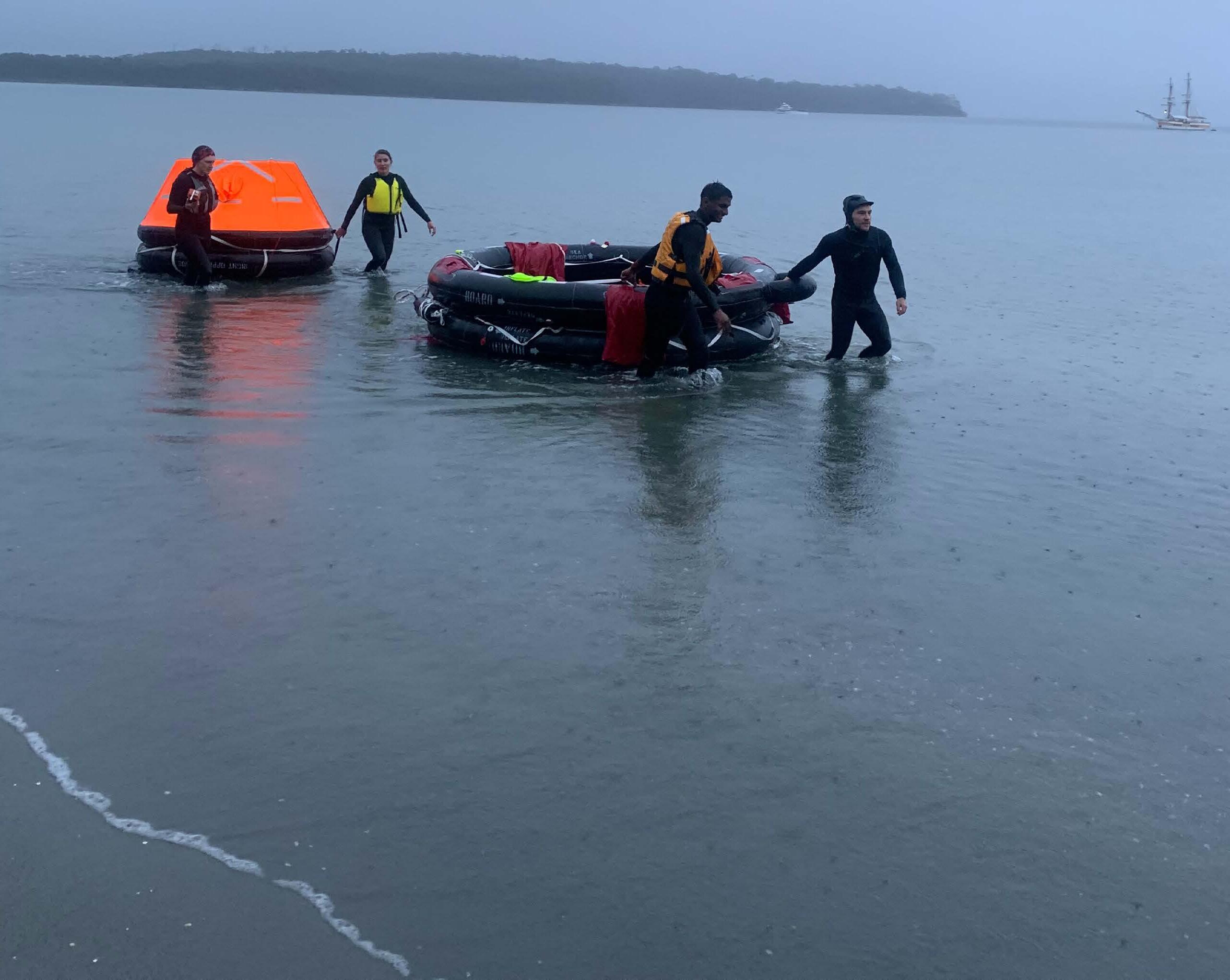
You should have a proactive strategy for identifying, assessing and mitigating risks as a best practice to ensure good outcomes. It is also used to ensure alignment across the team/crew so everyone is on the same page regarding importance, priority and what to do if an event happens.
The AMP sets out the procedures and responsibilities so that everyone knows what to do when something happens. Just drawing up this kind of plan helps reduce risk because there is thought given to potential hazards that may not have otherwise been detected. For example, you identify your main hazards such as cardiovascular emergency, physical trauma, marine envenomation or allergy/anaphylaxis. You rate the consequence likelihood, risk, and if it is an acceptable medical incident. Then you state the risk control measures and define a clear plan of action for each medical accident or emergency.
In any serious medical accident or emergency, you will work so much better as a team if you know and have practiced your AMP. Here is a simple example of an AMP to give you some food for thought:
Accident Management Plan means a documented procedure (or procedures) that set out the measures necessary to prevent accidents occurring within the permitted installation, during both normal and abnormal operations, and limit the consequences to human health or the environment of any such accidents that do occur.
The following is an example of an AMP. This plan should be followed in the event of any accidents. All crew should receive training in this plan at the commencement of their employment on the boat. The Medical Officer/s should arrange regular training/ simulation scenarios. I hope this helps and inspires you to be prepared for anything.
Amanda Hewson Beaver Medical Support Offshore Ltd www.msos.org.uk
56 Crew Life
photos by Amanda Hewson Beaver
Practicing for a major accident, university of Tasmania, medical care offshore and inland waters course. Hobart Tasmania.
The Islander #307
1. Take Charge
The most senior person (see section 3. below) will take charge of any accident or other emergency situation
This person will clearly and immediately declare themselves as the leader
Depending on the situation, they may send for help from one of the sub-leaders (doctor, engineer, cabin manager), or other crew.
2. Scene Assessment
The person in charge will conduct a scene assessment before anyone enters a scene
Actions may need to be taken to remove or reduce dangers at the scene, or send for resources to be brought to the scene; fire extinguisher, portable firstaid kit, defibrillator, oxygen, hypothermia blanket, etc.
Advice may need to be sought from engineering/ medical/cabin crew
Once safe, the person in charge will then clearly declare that the scene may be entered.
Discussing the AMP on 11th Hour Racing
3. SurveyPrimary
To b e performed for each casualty involved in an accident
The primary survey should be performed by the person most qualified to do so, in the following order of hierarchy:
• Medic/Doctor/Nurse/Paramedic
• Captain
• Divemaster or other dive crew with rescue diver certificate
• Crew member with first-aid training (all) This survey should be performed quickly to assess and treat any immediate dangers to life, using a common DRSABCDE approach (If you do not know what the DRSABCDE is please contact me!)
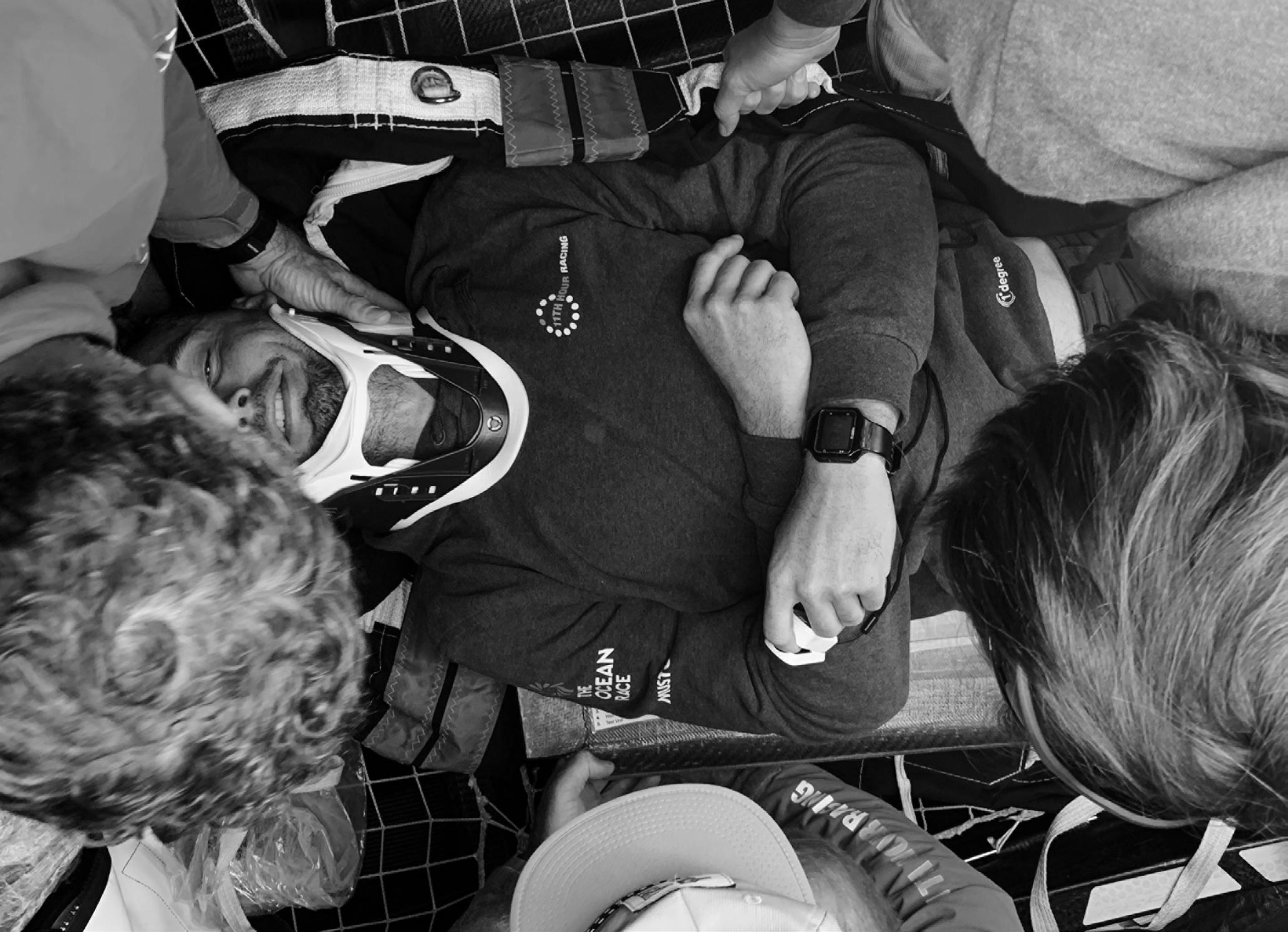
The person completing this will then report the findings to the person in charge (unless they are the person in charge)
The Exposure component of this survey should prompt the rescue team to consider moving the patient to the delegated “sick bay” or the Ship Hospital, if safe to do so.
57
The Islander #307
4. SurveySecondary
The secondary survey should be performed by the pers on most qualified to do so
There should be an assessment for other injuries and illnesses that will require management.
5. Plan and Treat
All injuries and illnesses should then be treated within the scope of the doctor, ship medic or first-aider providing that care
If there is any doubt that any medical issues identified lie outside that person’s scope of practice, advice should be sought from the telemedicine support service.
In general, where there are only first-aid trained crew members on board available to provide care, all presentations should be discussed with the telehealth service.
6. Manage for Long Term
The doc tor or telemedicine service will then liaise with the C aptain to create a plan for the coming hours and days to determine disposition:
• Remain on board for treatment
• To be transferred to land for definitive care
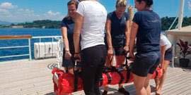
• By rotary wing aeromedical aircraft
• Vessel to travel to port
Telemedicine support will be available 24/7 for virtual medical examination to be performed. When required, the service will also liaise with search and rescue teams and resources, to facilitate retrieval of patients.
This service may be accessed by the Medical Officer on board, or where the doctor is unavailable, by the Captain or crew. The Medical Officer, Captain and all crew will receive training in using the telemedicine device and service.
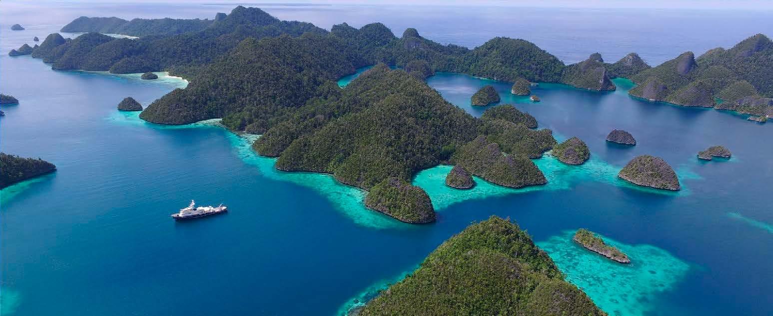
7. Evacuation Plan
Evac uation from the vessel will be undertaken only in the most extreme circumstances as a last resort, or only at the ‘abandon ship’ direction of the Captain.
Remember: PRIOR - PREPARATION - PREVENTS
Plan Medical Kits Specialist Training Telemedical support Medical Training Courses Palma: +34 666 289 298 UK: +44 2381 787 059 www.msos.org.uk Email: training@msos.org.uk MCA Medical Care Onboard Ship MCA Medical First Aid Aboard Ship MCA Medical Care Refresher MCA Elementary First Aid Palma Classroom Dates: 9th January 20th February 20th March 24thApril
Management
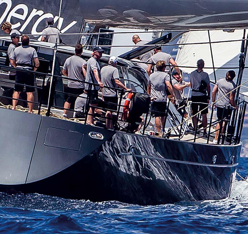
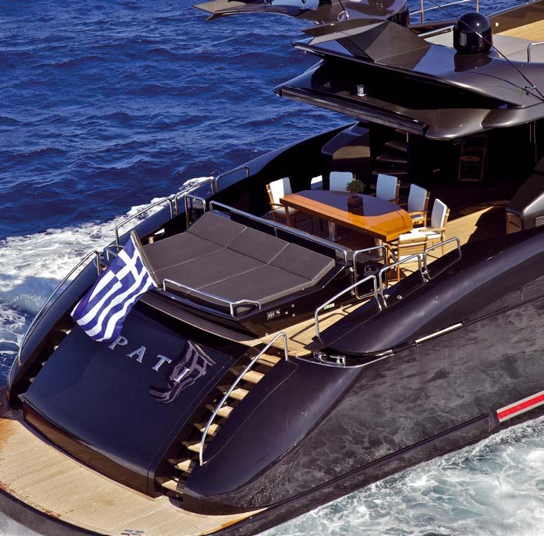
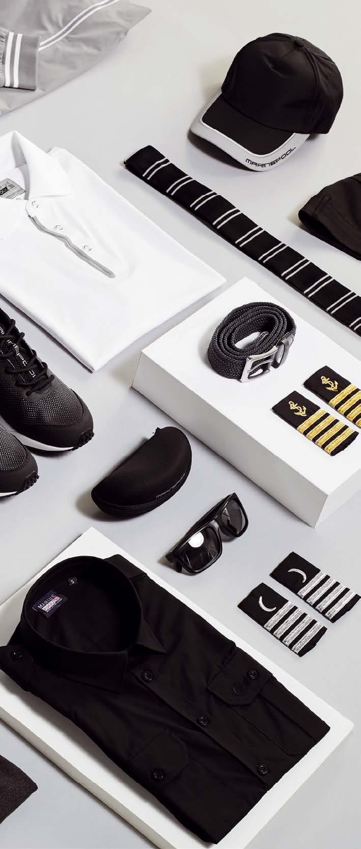
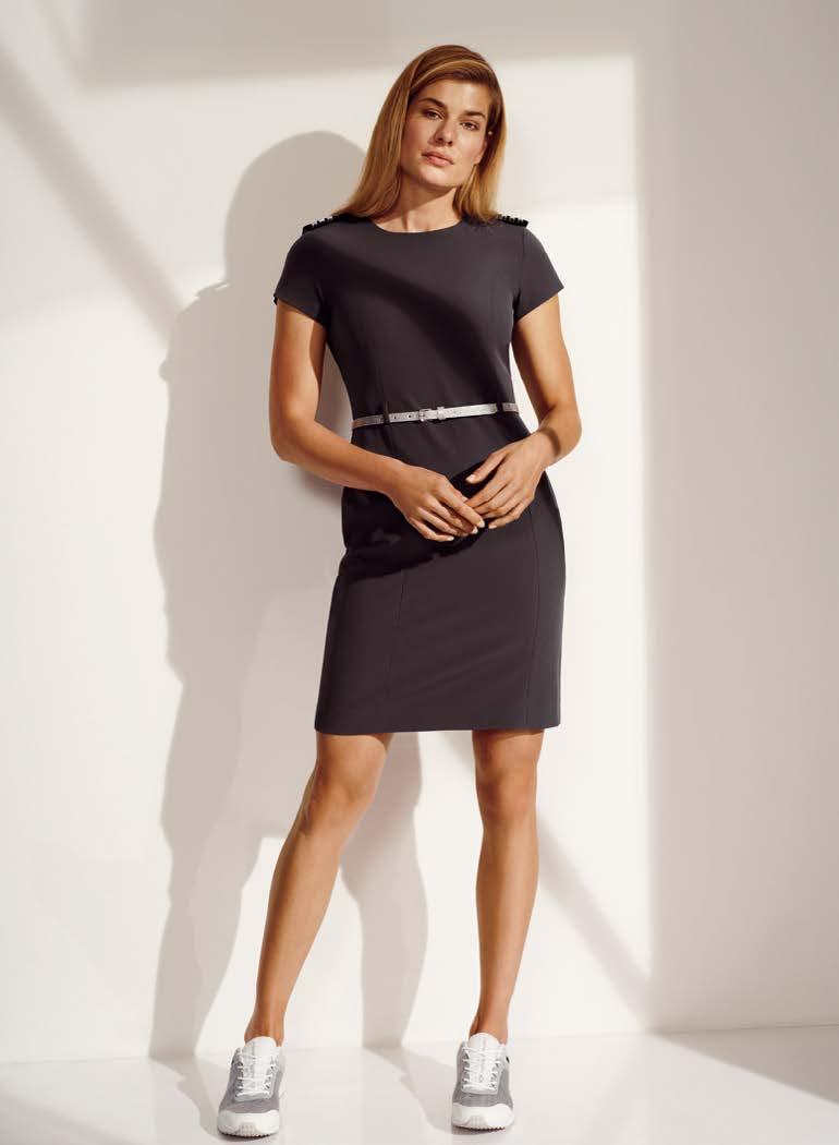
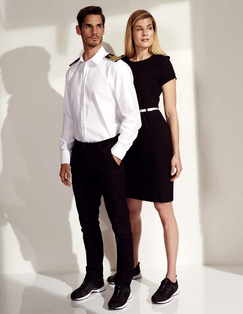
59 Crew Life Management SHOWROOMS: MUNICH · BREMEN · LORIENT · PALMA · ATHENS · VIAREGGIO · MALTA · DUBAI · XIAMEN SPIRIT OF THE OCEAN GMBH · +49-(0)89-8 99 61 90 · CREWWEAR@MARINEPOOL.COM Manufacture for Lifestyle
A Chance for Yachties to Preserve our Oceans
written by Ricardo Sagarminaga photos by Alnitak
At Alnitak, some of us were adjusting sails and tying knots way before we knew we would be part of a research and marine conservation non-profit. Yachting is almost an innate yearning; a passion for exploring and traveling to new places; a taste for adrenaline and speed; enjoying luxury and fun; fishing as a profession or pastime; whale watching, or any other reason. But we believe it is in everyone’s common interest to be able to enjoy a clean and pristine marine environment.
We would argue that if there is a collective able to take a first step in leading by example to show how enjoying nature can be done sustainably, it’s the yachting community.
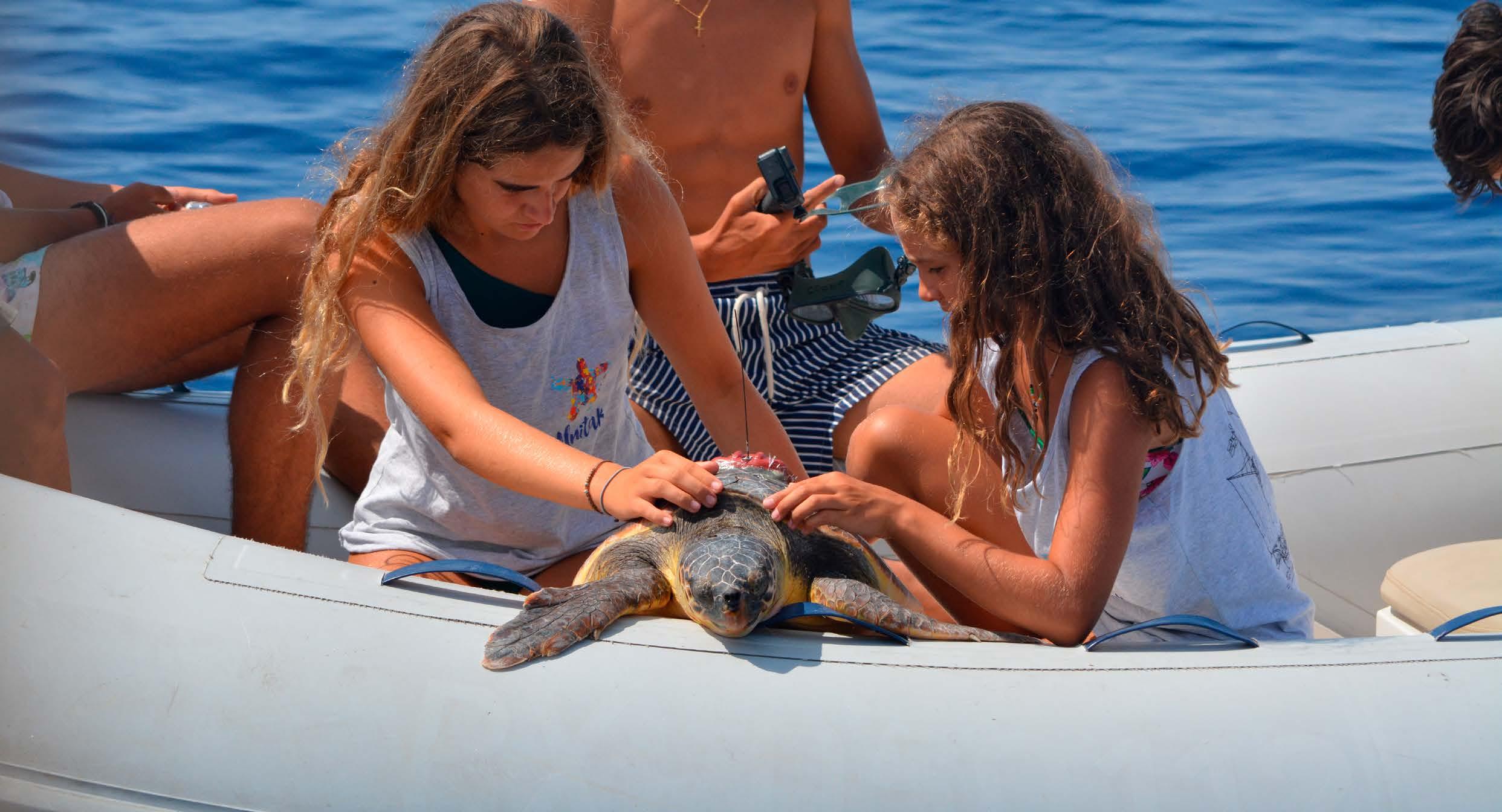
We aren’t proposing anything new. Traditional ‘good seamanship’ is, in itself, very much about venturing out to sea without impacting the environment. Yachting has become much more accessible in recent decades. Sadly, we have witnessed many people joining the community with no seamanship spirit or sense of responsibility
for their surroundings or others. We’resure you know exactly what we are talking about!
There are literally hundreds of conventions and agreements for the conservation of the oceans. This legal framework exists, in theory, to guarantee an adequate conservation status. However, in practice, we can’t rely on decisions being made in far-off conference rooms in New York, Brussels or Madrid. When out at sea, what matters most are the individual decisions that we make under the sole watch of our own conscience. At Alnitak, we believe that upholding a culture of ecoawareness among our community of navigators, fishers and yachtsmen (and women!), can be an invaluable
contribution to ongoing efforts to preserve the oceans.
One example of this is when a sailor has an encounter with marine garbage such as “ghost fishing gear” or other potentially dangerous obstacles. These are not just a threat to wildlife such as sea turtles, but also to fellow sailors. Reporting and retrieving items such as ropes, nets, large plastics -even logs at seais a basic responsibility. For those who may wish to take one step more and contribute information and photographs of these sightings at sea to ongoing research, you can report observations at www.observadoresdelmar.org. In the case of finding an injured, sick or dead marine animal such as a
60 Crew Life
The Islander #307
turtle or dolphin, the protocol in Spain is to get in touch with the emergency service 112. Another example of good seamanship is the importance of knowing where and how to anchor. In special sites of high natural and aesthetic value (think of the many Balearic pictureperfect coves), there is a huge difference between the sailor who respects his neighbours and surroundings, and those who have no consideration for anyone who may want to enjoy the location after.
Many people, including ourselves, love a bit of speed. However, there is also a time and place for this type of activity, and it’s important to be aware and respect speed limits, both for the safety of others and also for vulnerable species and sensitive habitats. Encountering wildlife at sea is magical, for example, crossing paths with a group of dolphins. But these moments also offer us
key choices in how we conduct ourselves: do we interact positively and show the dolphins that boats can be safe spaces for them, or do we selfishly insist on getting closer and risk driving them away - or worse, injuring or even killing one?
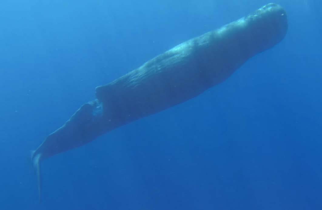
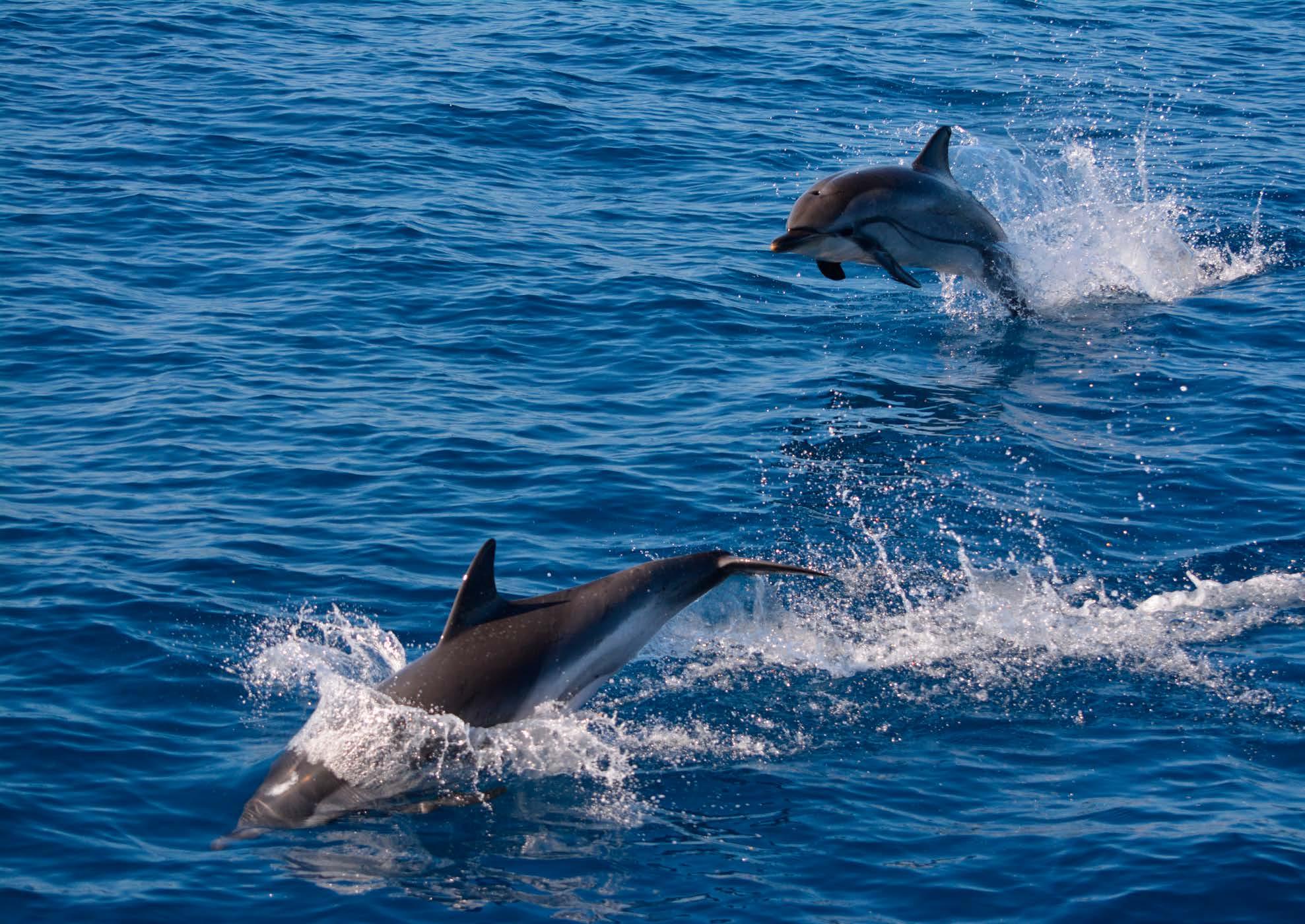
A skipper with good values not only has minimal impact on his surroundings but can also be a true custodian of the oceans. By reporting wrongdoing, the safeguarding of the surroundings is ensured for everyone. This type of sailor reduces the risk of safety issues at sea and is usually aware of being a nuisance to others. If they are able to help add data to ongoing scientific projects -which is easier than ever thanks to ever-improving technology such as smartphonesthis is the true icing on the cake.
As you know, preparing a voyage is the first stage of an adventure. This means that minimising your
impact at sea can begin before you even set foot on your yacht. For example, taking advantage of the local, seasonal and healthy food available in markets. The Balearic Islands are a unique place that often mix the traditional with the sustainable. This allows us the choice of eating healthily whilst also reducing single-use plastics and other unnecessary packaging.
A positive, mindful and ecoaware culture at sea is essential in our community. This is the best and most powerful way to safeguard the blue wilderness that we proudly call our second home. At Alnitak, we like to say “a clean and seaworthy yacht is a happy yacht”. We would like to remind our friends, collaborators and volunteers that enjoying the marine environment is both a privilege and a responsibility. It is our hope, fellow sailor, that you agree with us!
61 Crew Life
Sperm whale with injury from a boat strike - lucky to be alive and swimming
The Islander #307
Gori, an artisanal fisherman based in Soller, who we collaborate with closely and who followed our turtle rescue and handling protocol to successfully help a loggerhead entangled in a “ghost FAD”. This turtle has since recovered and been released.
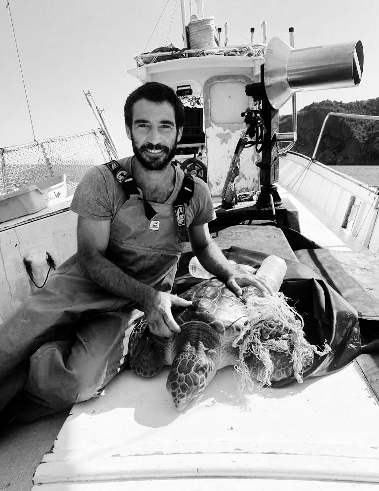
Recommended links
FANMED: https://fanmed.es/ A new initiative aimed at grouping together responsible sailors in the Balearic Islands
APERS: https://apers.es/ Spanish alliance of responsible sports fishing
Dirección Consciente
This is a course designed by two skippers, a biologist and a psychologist for people who work or spend a lot of time at Sea, aimed at learning how to be more conscientious about the marine environment. For more information: info@oneplanetonelife.org
Recommended apps
Observers of the Sea Citizen science platform for anyone to report sightings of marine wildlife and human impact such as abandoned, lost or discarded fishing gear
Posidonia
App to help sailors avoid anchoring on Posidonia seabed meadows, which are a protected habitat
Bernardi Alba, president of the Alianza de Pesca Española Recreativa (APERS), who this year made a call to his community of sports fishers to look out for ghost gear, and not cut free strangled turtle flippers...
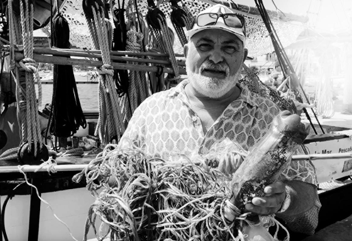
Ricardo Sagarminaga
Ricardo is a skipper and marine biologist dedicated to the conservation of the sea since 1984.
ric@alnitak.org


62 Crew Life
Observers of the Sea Posidonia
The Islander #307
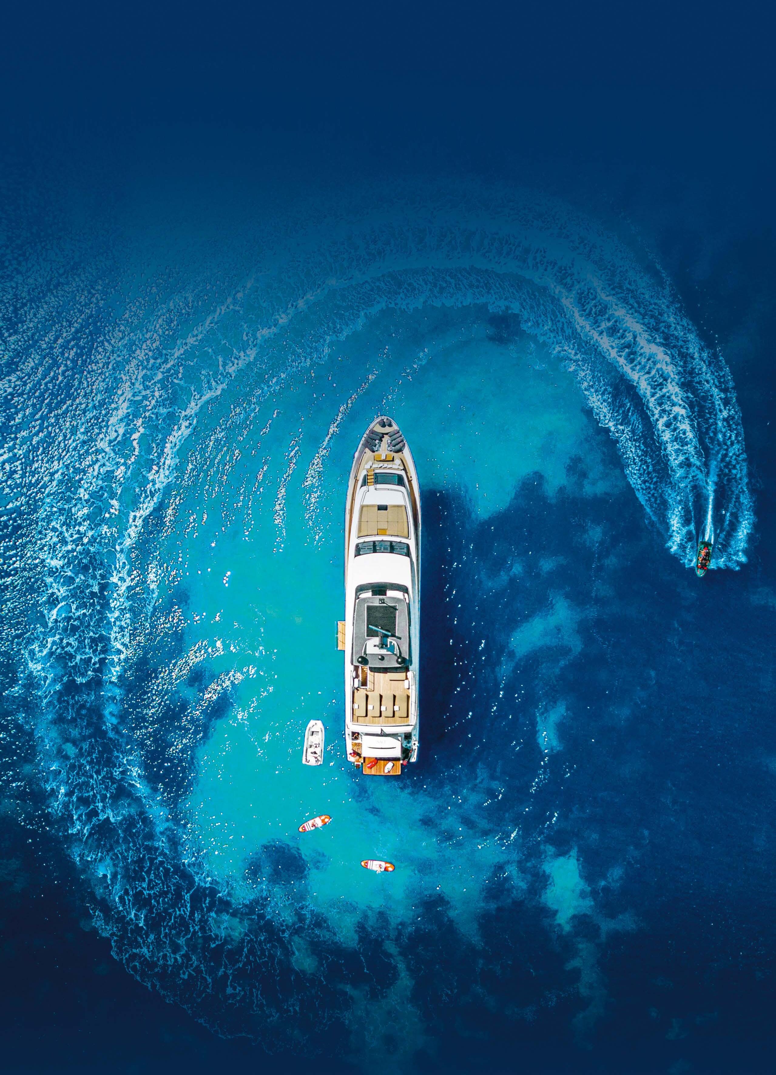

bluewater C H A R T E R I S A L E S & P U R C H A S E I C R E W I T R A I N I N G I M A N A G E M E N T Training, Crew & Management I t:+34 971 677 154 I p a l m a @ b l u e w a t e r y a c h t i n g c o m I crewp a l m a @ b l u e w a t e r y a c h t i n g c o m W W W . B L U E W A T E R Y A C H T I N G . C O M B L U E W A T E R P A L M A
Save the Med with SailGP –On Course for a Sustainable Future
written by Save the Med photos by SAILGP SPAIN
These are the famous words of the late ocean explorer, Jaques-Yves Cousteau. They are still very relevant today and inspire the team at Save the Med to work tirelessly towards the regeneration of the Mediterranean Sea.
In 2022, Save the Med joined the Spanish SailGP team as their official partner during the international competition, ‘Race for the Future’ for this year’s Impact League. The initiative was designed for lower environmental impact to steadily become the norm in the sporting world to help mitigate climate change and pollution.
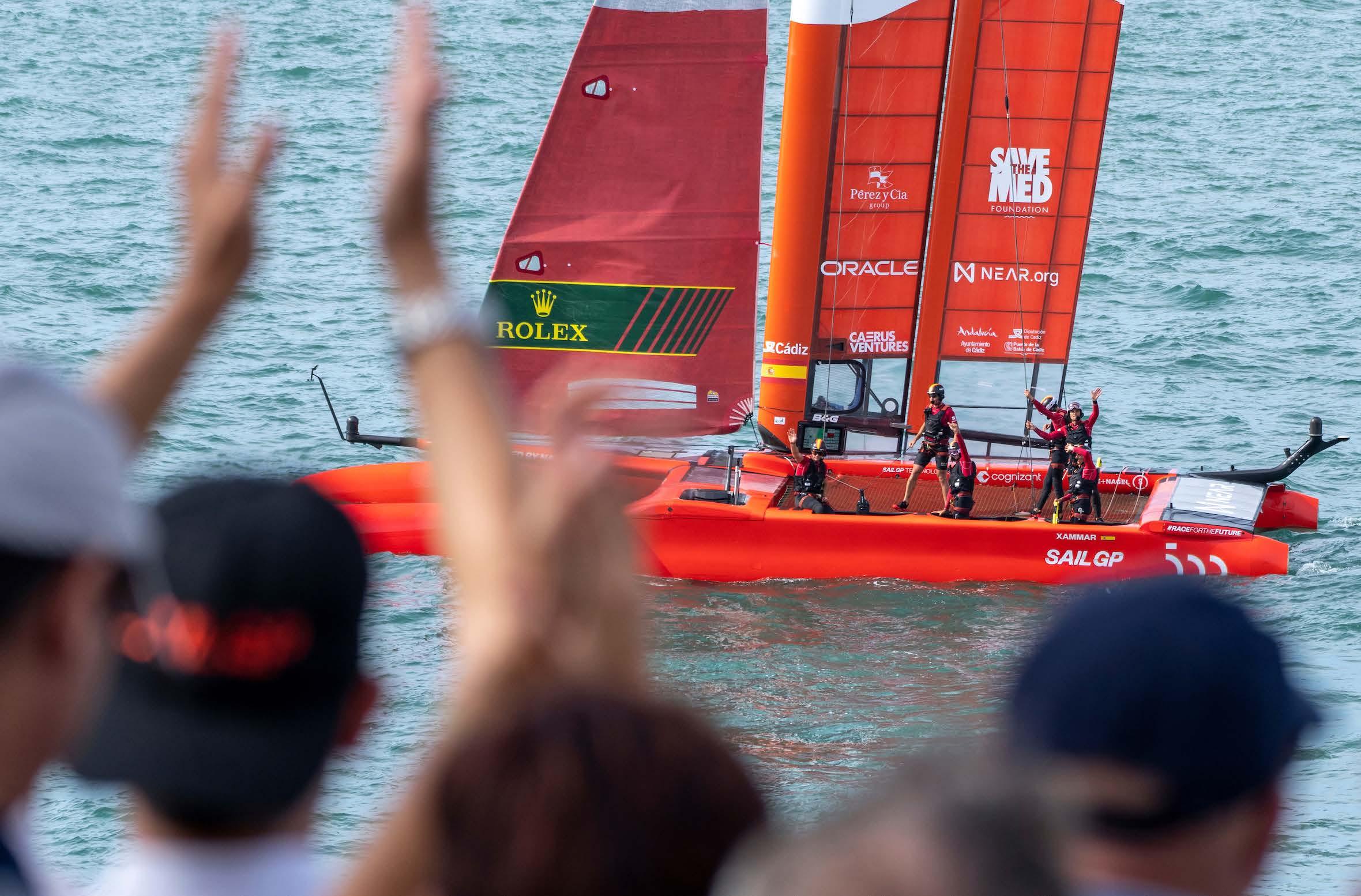
Save the Med worked closely with the SailGP Spain team, assessing their environmental footprint and creating bespoke advice on how to improve their impact. A meticulous job was carried out by Save the Med’s Plastic-Free Balearics experts. The team included Project Designer - Tupa Rangel, Environmental Scientist
- Leticia Serramalera, and Industrial Engineer - Anna Valls. Together, they analysed all single-use plastics used by the sailing team and provided a list of reusable alternatives to help reduce the overall plastic footprint. Some of the suggested changes included; the replacement of zip-ties; elimination of single-use plastic gloves, utensils and bottles; addition of reusable bottles for water. The work was carried out using their Guide to Honest Alternatives to single-use plastics, developed last year by Save the Med and originally created for the hospitality industry in Mallorca.
By adopting these changes, the Spanish SailGP team prevented the generation of the equivalent of 6.36kgs
64 Crew Life
“We only protect what we love, we only love what we understand, and we only understand what we are taught.”
The Islander #307
of carbon dioxide. They achieved the largest reduction among all participating teams and, as an Impact League Partner, Save the Med received an award for their contribution to this achievement.
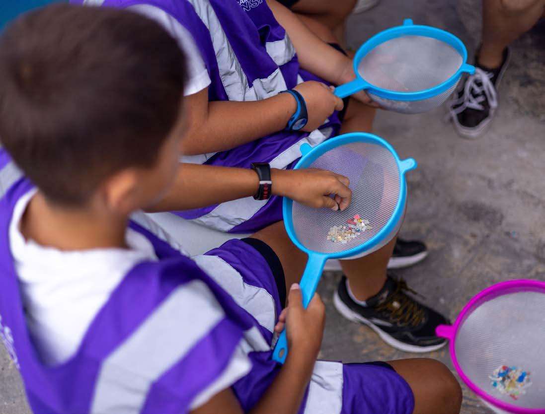
In addition, the Plastic-Free Balearics team did extensive research on lower environmental impact dining and shopping options for each stage of the race, and designed a “Sustainable Travel Guide” for each city the team visits. Through this work, they got to meet various passionate organisations who also work to raise awareness and prevent pollution, and have since joined some of their campaigns.
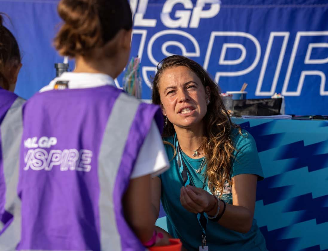
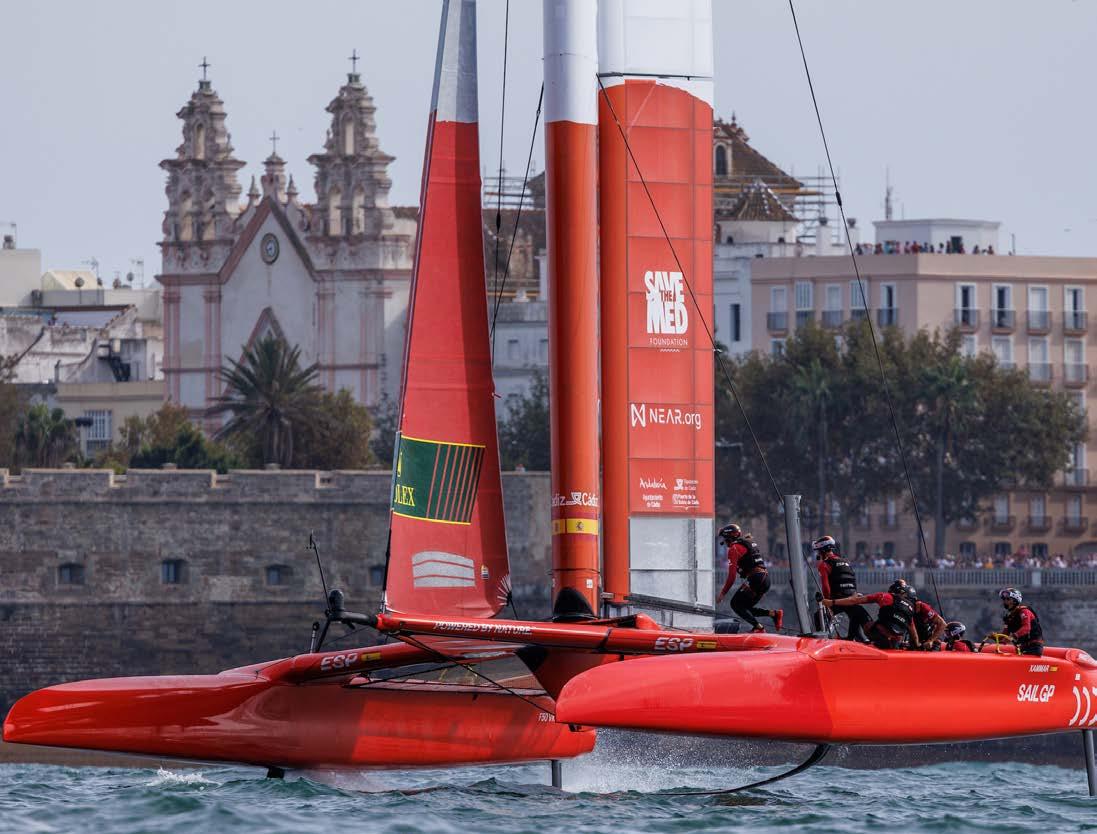
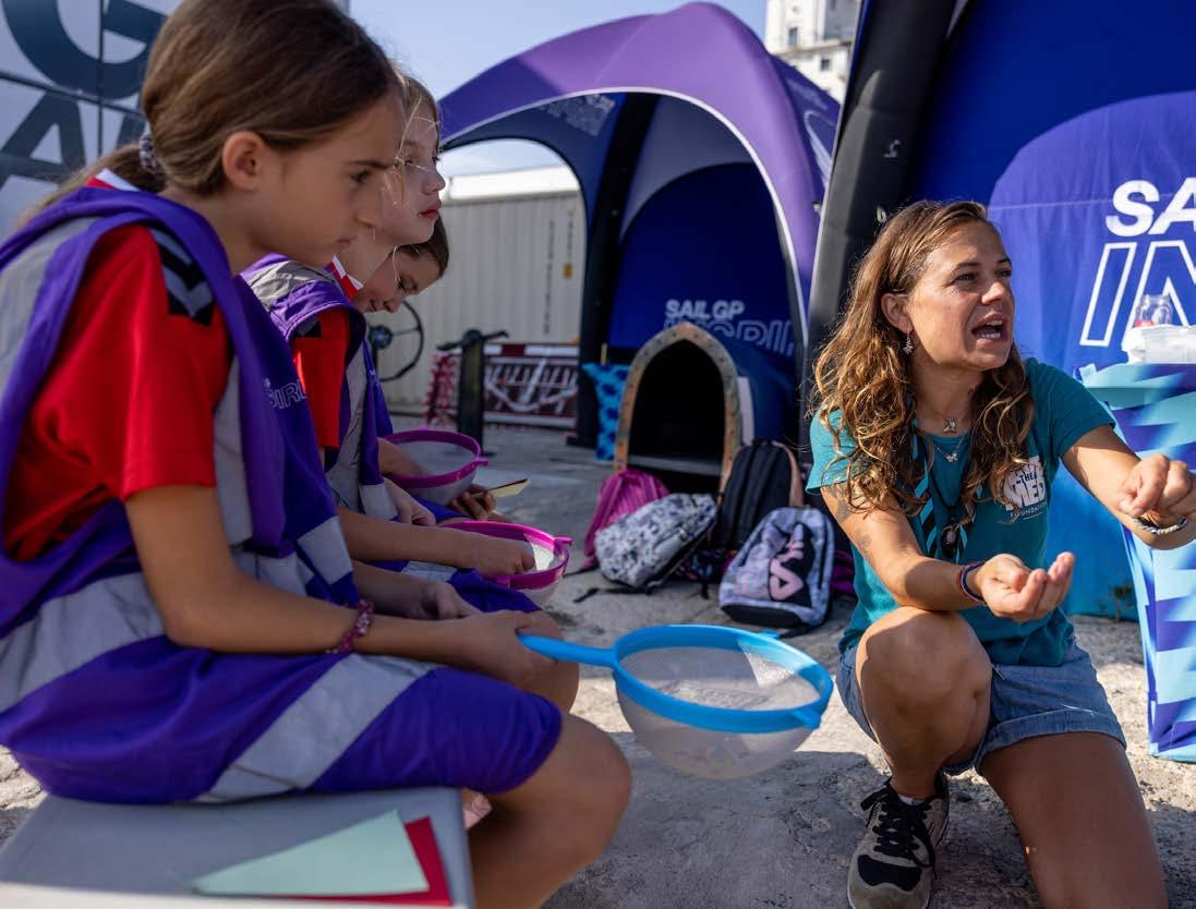
Examples include: the Plastics Pledge Plymouth pollution reduction initiative in Great Britain’s SailGp Award; Denmark’s Voresjordvoresansvar campaign on TV2 Danmark to mitigate impacts from climate change; and the Plastic-Lite Singapore initiative during SailGP Spain’s team’s visit to the Republic of Singapore. Save the Med also endeavoured to connect with younger
sports fans in the Cádiz Grand Prix sailing event, by offering a “Red Flags & Green Flags” workshop in the local yacht club. Red Flag objects are products often observed polluting beaches and coastlines. Green Flag products are locally produced and sold without plastic packaging. Through this workshop, kids learned about solutions and how we can easily reduce our plastic footprint by avoiding the use of pesky “Red-flag products” in our daily lives.
S ave the Med is looking forward to seeing positive changes in the sporting world, with SailGP setting the example and building a greater future for the next generation. The Mediterranean Sea is currently one of the most fragile marine environments in the world. Only through unity and collaboration can we create caring, regenerative communities that work towards a healthy, biodiverse planet. We need all hands-on deck! Will you join? Visit: www.savethemed.org
65 Crew Life
The Islander #307
Accident Reports by CHIRP
(Confidential Human Factors Incident Reporting Programme)
written by CHIRP
illustration by CHIRP www.chirp.co.uk
CHIRP’s mission is to help improve aviation and maritime safety and build a fair culture by managing an independent and influential programme for the confidential reporting of human factors–related safety issues.
In support of CHIRP, The Islander will regularly publish accident and incident reports from the Superyacht Industry.
Initial report - Pressurised to make a fatal decision
The superyacht was anchored in a bay where jet skis had been prohibited due to the density of traffic in the anchorage and a spate of previous incidents.
The owner was on board with a fellow guest who drank heavily. They requested that the jet ski be launched. The captain explained that using jet skis was prohibited and ill-advised when inebriated. The owner and his guest were insistent, and this conversation escalated until the captain was given the ultimatum of either launching the jet-ski or being dismissed.
The captain yielded to this threat, and the jet ski launched. Shortly after, the owner’s guest had a high-speed collision with a nearby vessel. The casualty was recovered from the water, unconscious and severely injured; the crew found he was not breathing and commenced CPR, but the casualty died before emergency services arrived.
The result was one death, a traumatised crew and owner, and the captain losing his job. He remained out of work for the following two years while under investigation and threat of criminal prosecution.
Superyacht owners are often demanding and “no” is unfamiliar to them and seen as an insult. Captains who stand their ground risk being side-lined for their professional conduct, and those that do yield to such demands potentially face even more dire consequences.
Factors identified in this report
Fit for duty: Drink had impaired the judgement of both the guest and the owner.
Pressure/culture: The owner bullied the captain into going against their professional judgement. On board, such behaviour was reflected in the safety culture (and probably the welfare culture).
CHIRP Comment
The drink had clouded the judgement of the guest an d the owner, but the captain knew that jet-skiing in the bay was prohibited. Even if the owner had sacked the captain on the spot, once they had sobered up, they would most likely have realised that the captain was speaking objectively, not subjectively. However, even when it could place others in danger, it can still be hard to refuse a request or order by an owner, particularly if they are used to getting their way or see refusal as a challenge to their authority. In this instance, the owner bullied the captain into launching the jet ski against their professional judgement. However, a captain’s first duty is the safety of crew and passengers, and they should have refused, no matter the circumstances. To avoid such scenarios, captains are encouraged to confirm with the vessel’s owner that they are empowered to refuse requests that put people or the vessel at risk of harm – and, crucially, that they will be listened to. Ideally, this should be done as early in the professional relationship as possible – potentially even at the interview. Shrewd owners will accept that the captain is looking after their interests. Where such assurances are not forthcoming, this should be a ‘red flag’ to the captain that safety on board is at some point likely to be compromised. Better to seek alternative employment at that point than find oneself being threatened with the sack in the heat of the moment. CHIRP wants to state that the master has other places to report this coercion, which should be made known to them.
Yacht crew can contact the International Seafarers’ Welfare and Assistance Network (ISWAN) via WhatsApp (+44 (0)7514 500153) for 24-hour help and support for issues such as bullying and harassment, unpaid wages, and mental health support.
66 Crew Life
“
The Islander #307
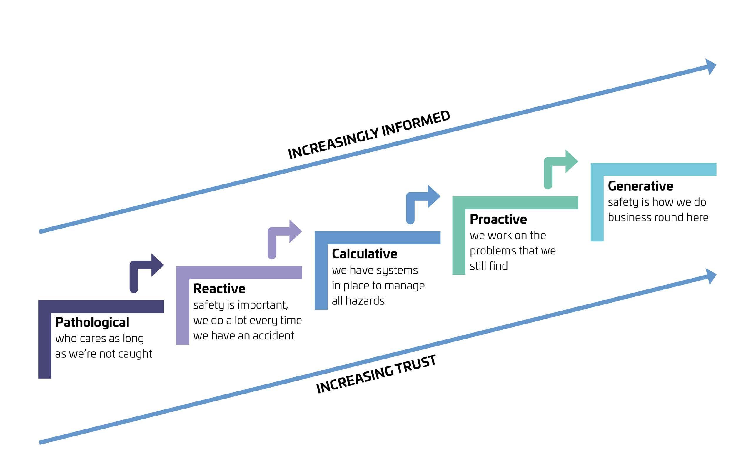
...the owner bullied the captain into launching the jet ski against their professional judgement.
The Islander #307
WE’RE SORRY
Perhaps you find this ad hard to read but it’s not even half as hard as finding suitable crew for 50-100 ft Pocket Superyachts. We know, because we have been focused on selecting and supporting crews for these yachts for 10 years now. For help with understanding this ad and running your Pocket Superyacht (as owner or crew) contact jens@invisiblecrew.com or find out more at www.invisiblecrew.com.
www.invisiblecrew.com | jens@invisiblecrew.com | +34 674 83 83 68
Tech Talk
Roger Horner's Technology Update
Meet the HydrogenPowered Chase Zero!
Interview with Anna Borla
Concept Designer of M/Y ARIA
Technology Update
writtenby Roger Horner photos by Roger Horner illustsration by @octaviasart
What’s Hot and What’s Not
As any reader will know, my monthly column -now in its 25th year (!)- focuses primarily on technical developments within the wide communications spectra that exist on superyachts. Recently, and more specifically, they have focused on the significant developments within satellite communications and what this means for us at the frontline of the sector.
In terms of what’s hot and what’s not, the very hot topic remains much as it has for the last year; whether (and how) yachts integrate Starlink capability in either its RV or Maritime form. As always, there are a multitude of factors to consider.
Starlink RV –Still a sensible option?
Last year, a number of vessels were early adopters of the RV system as a temporary or permanent installation. These worked well throughout 2022, even on the move and without being geo-fenced. This was unexpected, contrary to the messages we received from Starlink (albeit with a good mixture
of positive and negative feedback reported in its performance). We’ve even had clients transit to the Caribbean prior to Christmas using their Starlink RV system, with coverage all the way across. One of them enjoyed the World Cup Final in HD 1000nm from land. But for how much longer will this be the case?
It continues to undermine the launch of the Maritime system in July 2022 and the flat, nonmotorised Version 2 of the highgain maritime antenna launched at the Monaco Yacht Show in September. However, Starlink seems to be targeting its sale of these to resellers!
However, with only a best-efforts service offered by Starlink, whether Maritime or RV (they offer only Maximum Information Rate – MIR), there is no contractual obligation on performance (as offered with a guaranteed Committed Information Rate service - CIR). Bandwidth is from zero to approximately 250Mbps in practice and most commonly around 90-150Mbps.
With reports of regular, albeit brief, dropouts (not good for live streaming or important conference calls), it illustrates perfectly that active conventional Ku and Ka Band VSAT services with a guaranteed CIR remain absolutely relevant for the immediate future for vessels with incumbent VSAT installations.
This is, however, leading to a greater attraction towards lowerbandwidth and shorter-term conventional VSAT contracts, so long as the flexibility is there to upgrade for key periods, such as charters or when owners and guests are on board.
Starlink Maritime50% Hardware Reduction
The dual-panel system from Starlink Direct dropped by a full 50% in January from $10,000 to $5,000. This brings it in line with industry resellers that had invested many millions in purchasing several thousand systems, thereby removing a key USP that they could offer on discounted hardware.
Also appearing in late 2022 were limits on data consumption for
70 Tech Talk
The Islander #307
Roger Horner founded e3 Systems in 1996 of which he is still the CEO. He is also the most senior contributor of The Islander Magazine.
Starlink Maritime. Previously unlimited, it is now restricted to 5TB for the standard Airtime monthly contract at $5,000/month, with overages at around $2.00/GB. With the exponential growth in demand for both speed and data, 5TB will be used up in a matter of days of streaming over a few TVs. Some resellers can offer ‘Maritime Light’ Starlink airtime contracts of 1 or 2 TBs/month, but these are linked and obligated to run alongside an in-house VSAT contract from the reseller.
An Agnostic Approach
e3 Systems has chosen the agnostic route and is treating Starlink and VSAT as separately procured entities. This leaves the vessel free to explore the various VSAT solutions offered independently and to tailor these to their specific requirements. We continue to marry these systems on board in terms of installation onto the vessel itself and its integration into the communications/IT network. We also continue to provide ongoing support either on an ‘as-required’ hourly basis or through an annual support contract.
Through our e3 Systems US office in Ft Lauderdale, we are currently facilitating the provision of Starlink Maritime direct for yachts and installing it on several vessels in Europe and beyond. With a lead time of 3-4 weeks from order to delivery, it’s worth investigating now for the Mediterranean season ahead. Installation is relatively straightforward, although as always, it presents more challenges on sailing vessels than motor yachts – and we are currently doing both!
Further Conventional VSAT
Choices
To offer further increased flexibility to o ur conventional VSAT portfolio, we have recently launched a new service specifically for new clients with Starlink. And for those whom we are facilitating the Starlink Maritime provision of hardware, installation and integration – an ultra-flexible VSAT service with CIR that can be switched off and on at short notice.
To RV or Not to RV…?
We are also advising vessels that if there are no plans to install Starlink Maritime for the 2023 summer season, then the RV system makes
sense at just €450.00 and €85.00 for the monthly Airtime. This is considerably less than the cost of many overnight berths!
Unlike the Maritime version, this can be purchased directly through the Starlink website at www. Starlink.com. Not least, vessels can test a relatively temporary and cheap installation, get familiar with the system and check any under-performing elements within their own IT network which may negate the benefits of all the higher bandwidths available. This helps to identify increased cyber security risks that present themselves - and lower their potential expenditure on 4/5G data for this summer season.
Of course, this comes with no guarantee of future limitations of the RV system’s performance off the beach or on the move. Good 4/5G connectivity and flexible VSAT remain as relevant backups to the RV system to ensure you are covered for every eventuality.
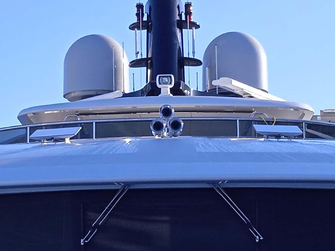
In either scenario, a Pay As You Use 4/5G option remains highly suitable to take up the slack within 4/5G coverage areas, serviced by us through our Big Data series of Pay
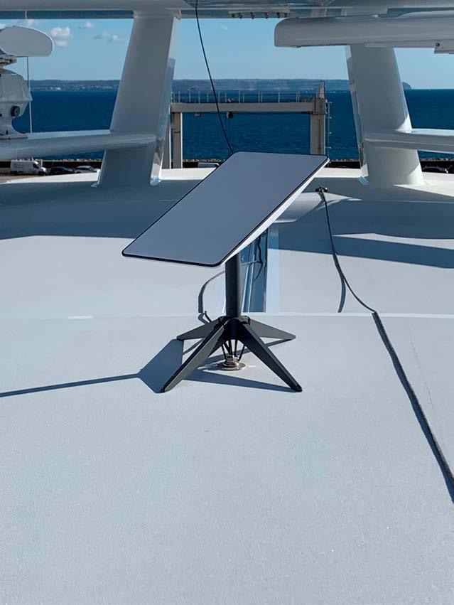 Temporary RV installation
The Islander #307
Dual SL Maritime instllation with wedge mounts
As You Use sim card services - for Europe, the Caribbean, the United States and globally.

Other Interesting Tech Developments
At the end of January, Iridium Communications launched the new Iridium GO! Exec. This is a device that may well be the most capable ultra-portable solution for global connectivity on smartphones, iPads and laptops. It extends off-grid capability to send and receive emails, make phone calls, share pictures and get help in an emergency.
Using Iridium Certus technology, the Iridium Go! exec provides faster data speeds at a size, weight, power and price point unheard of to date. Whilst it will certainly appeal to everyday adventurers outside our sector, it is a desirable bit of kit to have on board any vessel sending people ashore in remote areas, such as Antarctica or the Northern Passage, as it easily fits into a backpack. We like it –a lot: https://www.iridium.com/go-exec/
 “Iridium GO! Exec”
 written by Roxanne Hughes
Meet the Hydrogen-Powered Chase Zero!
When the Protocol for the 37th America’s Cup was announced, one of the key initiatives was the introduction of hydrogen-powered chase boats, which all teams must build. Emirates Team New Zealand, in partnership with sponsor Toyota, led the drive and when their Chase Zero boat was launched, it stunned the yacht racing community.
Performance trials clocked a top speed of 52.7 knots and the boat achieves an easy, eco-friendly cruising speed of between 30 and 35 knots.
It takes flight on its foils at 19 knots, and trials have been ongoing in Auckland out of the ETNZ base through the winter months.
With the success of the project established, the highperformance yacht builders at McConaghy were asked to undertake a styling exercise. They found that with a lowered coach roof they could extend the 10-metre length to 13 metres, creating a hydrogen-powered foiler capable of comfortably housing VIPs or race officials. The 13-metre VIP version of the Chase Zero can be customised to include heads facilities, a fridge and air
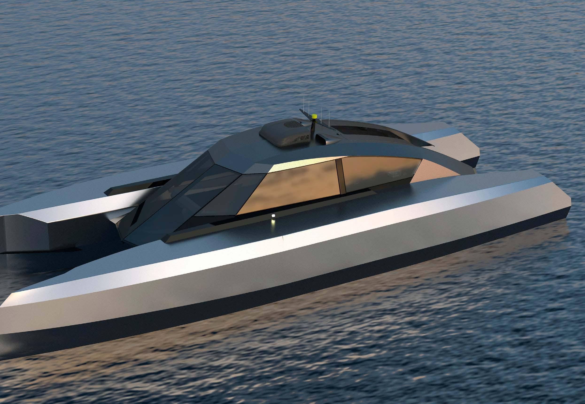
conditioning, plus state-of-the art custom-built carbon Recaro seating and detailing as an option.
Speaking about the new design, Mark Evans, Group Director at McConaghy, said: “We were asked to look at the styling conceptually, after the success of the ETNZ Chase Zero in trials. We added a little overall length and lowered the cabin, making a dramatic difference to the overall look. The 13-metre version is set to be a very big consideration for teams and individuals considering the switch to hydrogen-powered vessels.”
The 13-metre version has an all-up weight of 5,600kg and a draft of just 2.2 metres. At 4.5 metres of beam, there’s a roomy, spacious interior that owners can customise to their taste. The boat has an impressive 180 nautical mile range at a cruising speed of 35 knots on just 35kg of hydrogen.
Construction is full carbon, Nomex and structural foam. 2 x Toyota hydrogen fuel cells are housed within each hull, delivering 80kWs of power each. The powertrain cooling system is via a seawater pick-up located at the front of each foil-strut torpedo with two pick-up pumps per hull. The port and starboard main foils are
74 Tech Talk
photos courtesy of Emirates Team NZ/McConaghy
The Islander #307
Bumpy RIB rides are set to be a thing of the past with Emirates Team New Zealand’s Chase Zero boat. On-water race spectating and regatta support will never be the same again!
Roxanne Hughes Director Hughes & Co E: www.roxannehughes.com T: +44 (0) 7713 891 945
connected via a central wing foil spar and the single rudder features an elevator with adjustable rudder rake.
This considerable power is harnessed with fly-by-wire joystick controls in the main console and a considerable array of onboard navigational equipment including VHF, AIS and system monitoring displays. Mercury Bravo 1 propellers have been mounted at the aft end of the foil strut torpedo on the new design, and the four 8.4kg powertrain hydrogen tanks take 350 bars of pressure.
McConaghy’s designs for various interior layouts express a cool and modern aesthetic with futuristic tailoring.
This can be customised for communal bench-style seating or individual racetuned seats. Expansive glass provides exceptional viewing ability, and the glass extends the cockpit aft, creating a light and open sensation amidst a quiet powertrain as guests, VIPs or race officials glide atop the water’s surface on the foils.
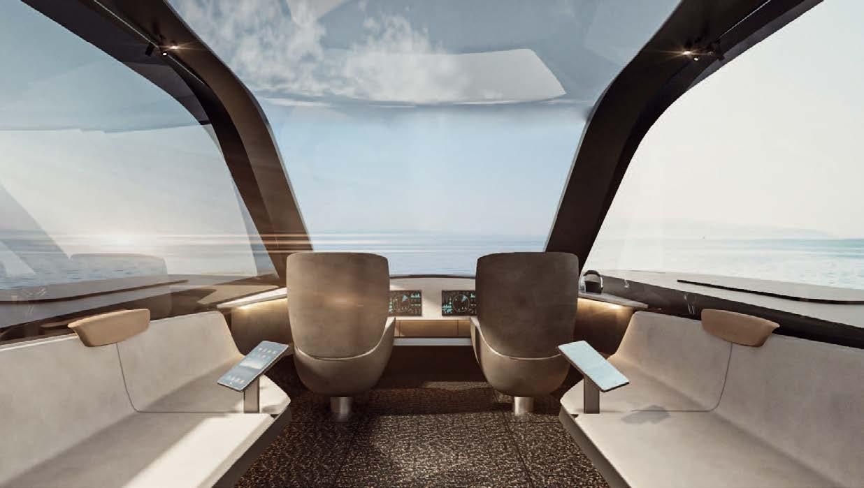
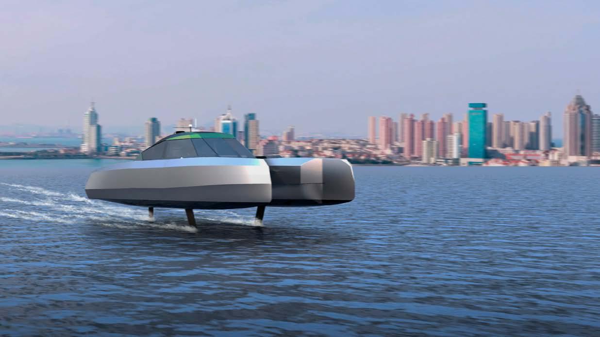
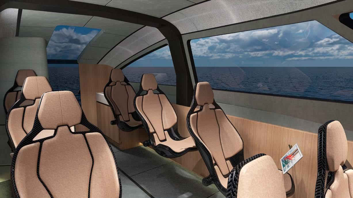
With orders already coming in, McConaghy is hopeful that the Chase Zero will be adopted for use across the wider yachting industry, with its ability to support all manner of onthe-water activities.
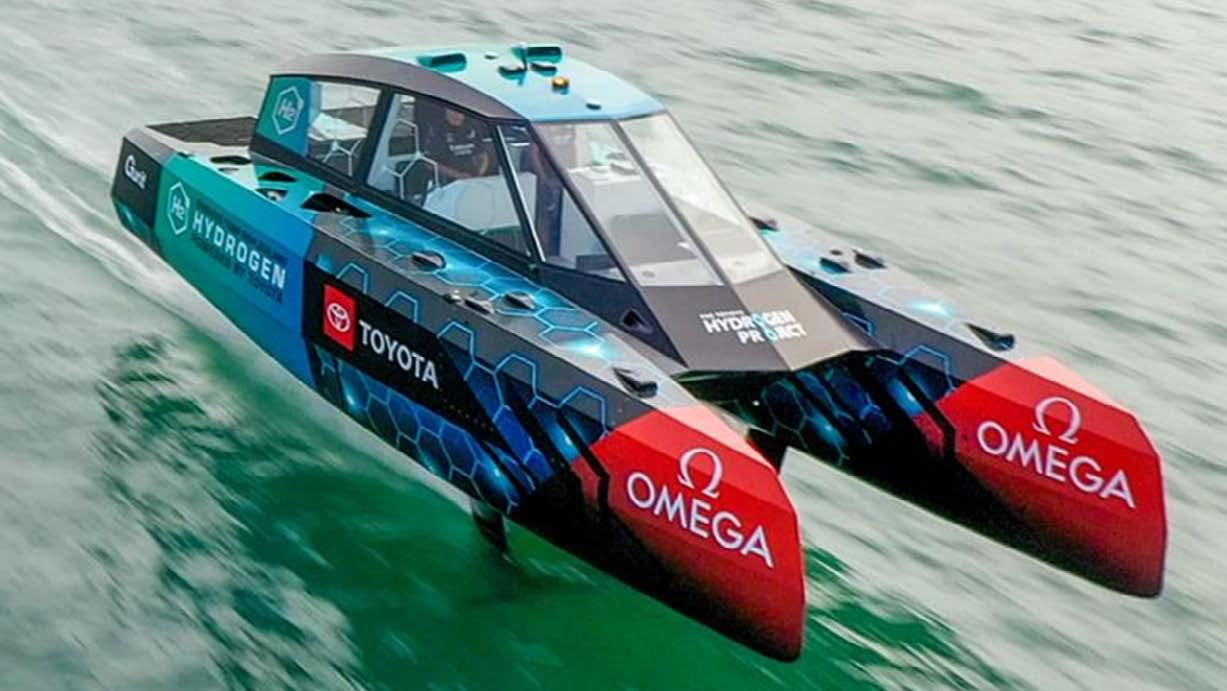
75 Tech Talk
The Islander #307



76 Tech Talk
Interview with Anna Borla Concept Designer of M/Y ARIA
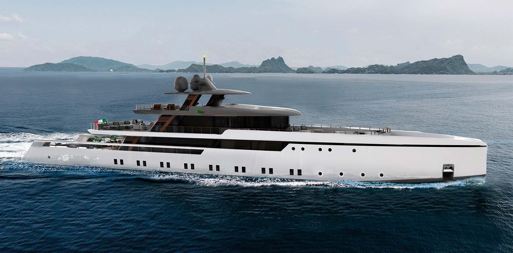
 interview by Sophianna Bergonzi photos by Anna Borla
When it comes to sustainability and eco-friendly concepts, we focus most of our attention on finding green energies, which involves a lot of research. It can also feel intimidating not being sure of how the results, in terms of autonomy and performance, will be received in the market. Nevertheless, there are infinite ways to explore a sustainable approach to nature from the yachting industry and lifestyle.
Anna Borla proves to us with her award-winning design, the 50m superyacht ARIA, how yachting and nature can synchronize in harmony.
78 Tech Talk
The Islander #307
What is the concept essence of ARIA?
“One of the most important elements that M/Y ARIA is base d upon is the design of clean and straight modern lines combined with traditional wooden details. M/Y ARIA represents my soul and my point of view about yacht design. I usually love to design a future, modern style combined with the traditional, taking inspiration from the most important classic yachts. I designed ARIA during the pandemic when I discovered the importance of greenery and how being around nature can make us feel good. Most of us have discovered how important it is to feel good about ourselves and how important the natural environment is for us. ARIA is a yacht in which it is possible to take shelter and escape the world.”
Do you think that a higher state of wellness can lead to increased sustainability?
“ARIA offers a new perspective of the yacht environment in which the owner can relax and find a comfortable space that can improve their mental health, with the help of the surrounding nature. The boat has plenty of greenery to improve sensitivity to nature and sustainability, even for owners who are already environmentally aware. We are now all realising how important ecological issues are.”
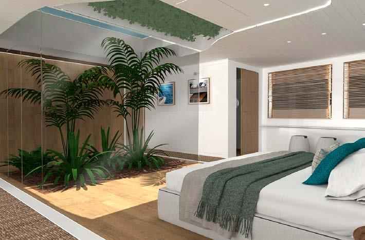
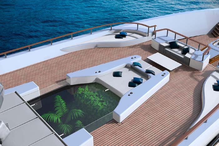
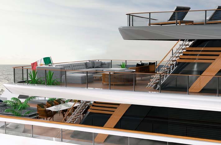
How does the integration of plants and natural light enhance sustainability or green living?
“ARIA, of course, is designed for those who love being close to greenery, surrounding themselves with the essences of nature. The interiors are brightened by the constant presence of natural light. The Owner’s cabin has a small garden inside which is covered by glass. The guests can enjoy greenery from above on the main deck where the garden is surrounded by sofas. On the top of
the glass, there are small holes allowing air to circulate. These can be closed while the boat sails and the water will be drained out of the boat by downpipes.”
In what other practical ways does ARIA bring sustainable solutions?
“Inside MY ARIA, nature becomes the focus where the interiors are made of essences, plants, woods and natural recycled fibres. The beach club and stern on the lower deck is a huge space mainly brightened by natural light. The interiors are made of wood with fibre carpets - a perfect design for a wellness area where it is easy to relax and observe the amazing landscapes of the world. Some of the exterior furniture is made by https://www. cocowolf.co.uk/ By selecting natural materials they minimise their impact on the environment and increase sustainability. The ethical production of their furniture and the actual running of their factory is very important to them.
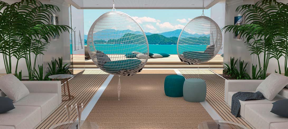
ARIA, of course, has diesel-electric hybrid propulsions allowing the boat to sail and be anchored in natural areas but she could also be converted to run with methanol in future years.”
As a designer, what future trends in ecological innovation do you expect to see?
”Many shipyards are already focused on the use of fuel-cell, methanol and all-electric systems. As for my last project designed in collaboration with the British Shipyard, Falcon Tender (a 10-metre limousine tender), sustainable propulsion is at the forefront of the design. We are planning to use a diesel-electric propulsion system or an all-electric version. Sustainability is becoming one of the main themes for designers and shipyards. I also think that the use of eco-friendly and recyclable materials will be a focus in the future.”
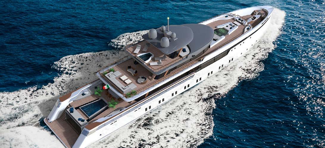
79 Tech Talk
The Islander #307


Marine Engineering Palma, C/ Alexandre Laborde, 3, local 3 07011 Polìgono Can Valero, Palma de Mallorca Office: 0034 - 971 447 477, info@me-palma.com, www.me-palma.com
High Performance Coatings for Highest Demands

Using ALEXSEAL® means getting a complete coating system that has proven its durability again and again over the years. Wherever your next trip takes you to, you can always rely on our ALEXSEAL® products that exceed the specific demands of today‘s sailing and offer more color retention for your yacht. ALEXSEAL® helps you to achieve a unique appearance on your new boat or refit project for years to come.
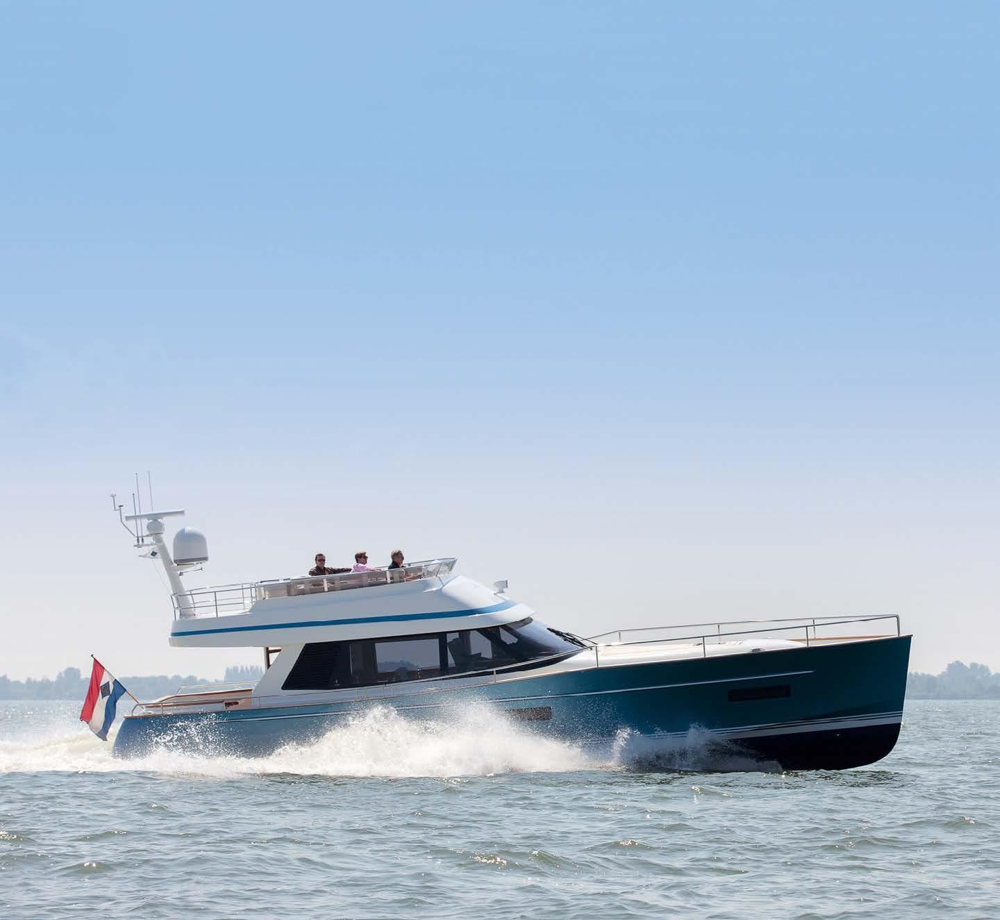
instagram.com/alexsealpaint fb.com/AlexsealYachtCoatings
WWW.ALEXSEAL.COM



Charter Knowledge
5 Tips to share for Eco-Sailing
Eco-Friendly Dive Paradise –Koh Tao, Thailand
MYBA focuses on Sustainability
Passion for Paradise = Positive Ocean Change
5 Tips to share for Eco-sailing
written by Marina Jarniat photos by Pelayo Arbues
Each crew member plays a major role in the experience of the owner and guests on board. They encourage sustainable and eco-sensitive practices and have the power to show that yachting can be both fun and environmentally friendly. Here are 5 tips to help crews create a more sustainable future for our oceans and coastal communities:
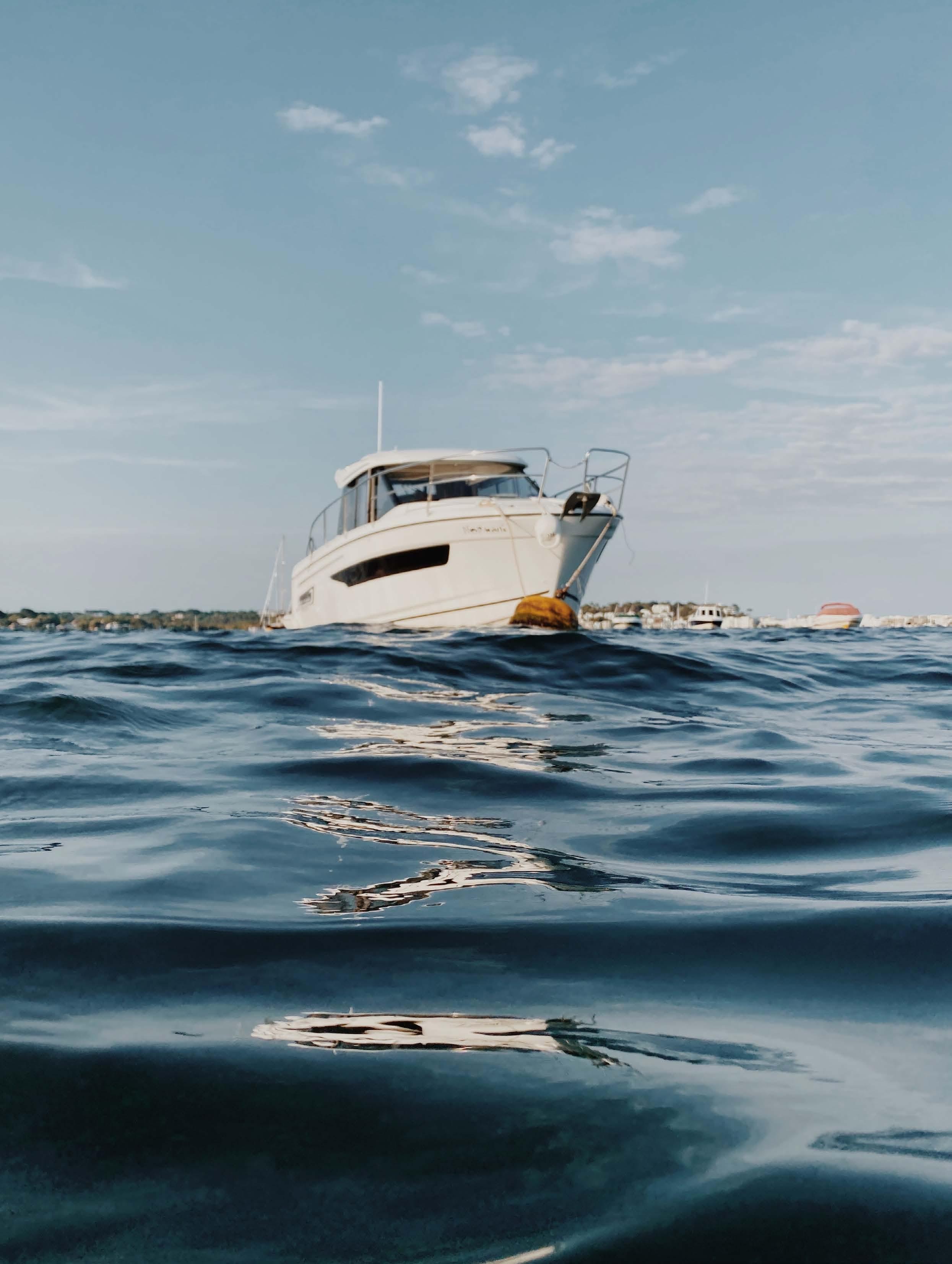
1. Visit blue flag beaches
Blue Flag beaches are certified for their environmental quality and support for ecological activities. This international certification is awarded by the Foundation for Environmental Education (FEE) and is based on strict criteria regarding the environment, waste management, services and safety. For example, 621 beaches in Spain were awarded a blue flag in 2022.
By visiting these beaches, the crew and people on board can support local efforts by preserving marine ecosystems and coastal habitats, and show their commitment to more responsible sailing. It is also a perfect opportunity to enjoy the natural environment in its purest and most unspoiled form.
2. Adapt navigation
By reducing cruising speed, it is possible to minimise the impact on the environment and marine ecosystems. Reducing speed results in less fuel consumption, which reduces greenhouse gas emissions and water pollution. Encouraging the use of sail, where possible, is an equally good action to take. Owners and guests can then enjoy the pleasures of the wind’s sensations!
Some navigation areas are protected and forbidden to drop anchor for good reason - to preserve the fauna and flora that live there. Keep a consistent distance from them, and use binoculars to fully appreciate these protected areas of nature!
Marina Jarniat
Founder & CEO CRUSOE
marina.jarniat@crusoe-agency.com
(+33) 6 45 81 93 12
Bordeaux
| Monaco crusoe-agency.com
84 Charter Knowledge
The Islander #307
3. Support the local economy
Once moored, the activity on board can have considerable impact on local communities. Therefore, it’s important to support the local economy by buying local products, supporting small businesses and choosing to eat in local restaurants. Whether in Europe, Asia, Africa, Oceania or America, buying locally produced items encourages the preservation of traditions and the conservation of natural resources!
4. Use organic and/or recyclable products
Whether it is cleaning or consumer products, using organic and recyclable versions reduces waste and, most importantly, avoids the spread of chemicals in the world’s oceans. Purchasing bulk products, getting rid of packaging before boarding, adopting selective recycling on board, and using sun creams made of soluble oils, are small but simple steps to reduce environmental
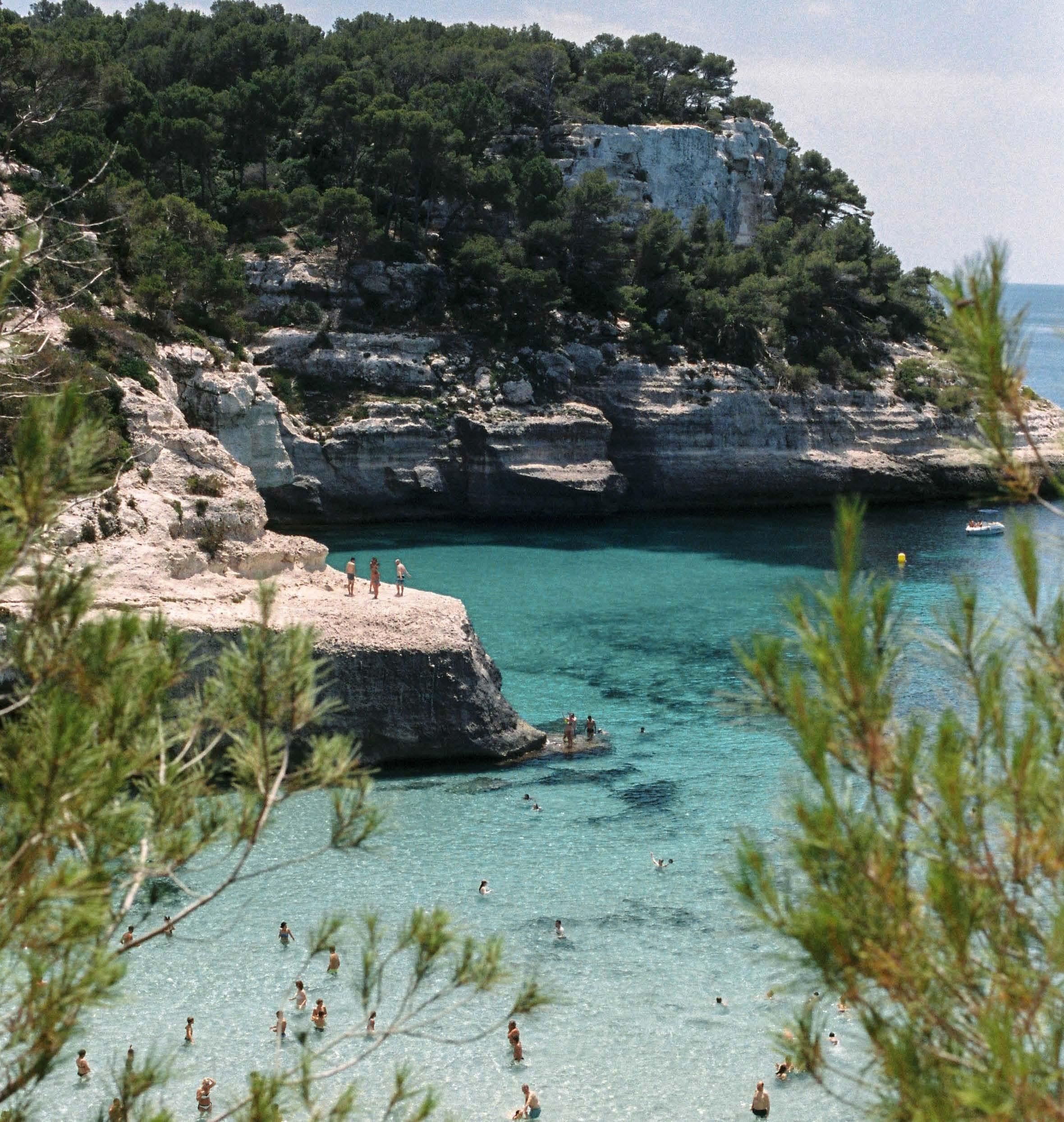
impact. Using these innovative solutions also supports companies that are committed to creating more environmentally friendly products!
5. Enjoy eco-water toys
For several years now, more companies have been developing innovative solutions to combine sensations at sea with environmental awareness. More eco-water toys have appeared: electric sea scooters, surfboards, paddles, and many others that make it possible to have fun without using fuel. This is great ecological progress for nautical leisure enthusiasts, without reducing the quality of the toys!
Of course, there are many other solutions to move towards more responsible navigation and yachting on an individual scale. Combining the strengths and resources of the yachting industry’s players -whether companies, crews, or owners- contributes to making a valuable difference for our planet.
Charter Knowledge The Islander #307
Eco-Friendly Dive Paradise –Koh Tao, Thailand
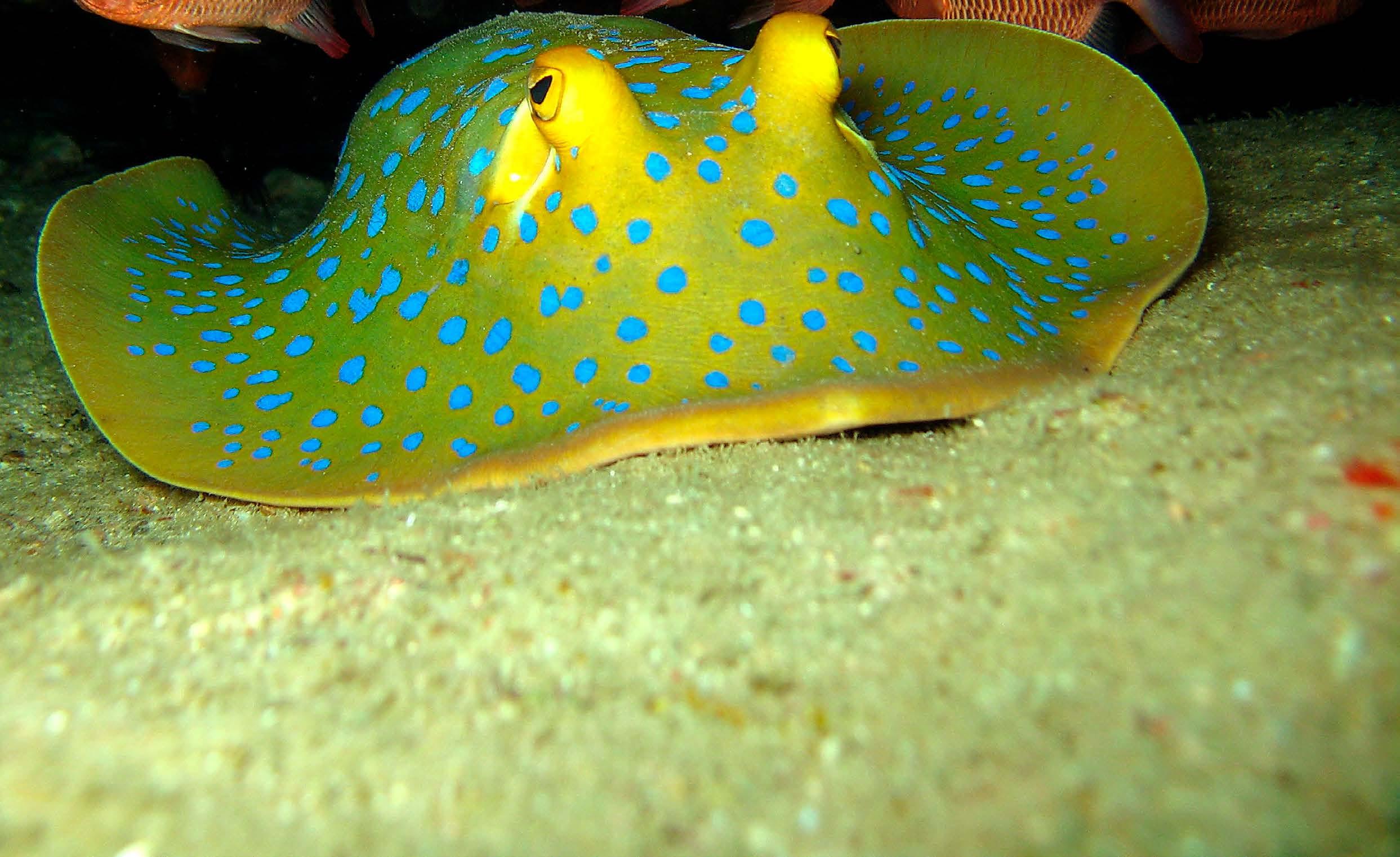 written by Linda Cartlidge
Golden sandy beaches, secluded bays and a scuba diving paradise make Koh Tao one of Southern Thailand’s true tropical island escapes. World famous, the small beautiful island is Thailand’s #1 scuba diving destination and at the top of Asia’s and the world’s most famous dive sites.
This elegant island has a special shape like a turtle, thus known as Koh Tao, or ‘Turtle Island’. It is an ideal place for hawksbill and green turtles to breed, which makes them a main attraction and a significant factor in the island’s eco-tourism initiatives. The island is well-known for its long hilly stretch along the west coast with a large number of sea resorts and famous dive schools.
Koh Tao is unique both above and below the water. Offering hard and soft coral reefs, pinnacles and large pelagics - all in 24°C seawater. Many divers can swim with huge whale sharks that frequent the offshore pinnacles at certain times of the year.
Starting your journey in the hub of the Gulf of Thailand, the best and easiest port of entry in a voyage to Koh Tao is Koh Samui. This is the largest amongst the Gulf’s group of over 80 islands, most of which are uninhabited.
Samui has been charming visitors ever since the first tourists arrived in 1971, rewarding all with an abundance of tantalising Thai cuisine, friendly people and a flamboyantly indulgent nightlife to explore and enjoy. Now home to a dazzling array of 5-star hotels, pampering spas and restaurants, it still retains its island charm and natural beauty with great anchorages.
Voyaging on to Koh Tao for a special dive adventure, you will find this destination has systems in place to help preserve and conserve the marine ecosystem around its coastline. The pristine sea surrounding the island has more than 8 kilometers of coral reefs looked after by marine conservation and sustainability groups.
Eco-Friendly Marine Adventure
Famed as the ‘Diving Mecca of the Gulf’, Koh Tao offers the best visibility and optimum conditions, whether diving or snorkeling. There is a diverse and versatile range of dive sites for all experience levels and an itinerary can be planned to suit intermediate/advanced divers or a dive tour with combined diving/snorkeling. Friends and family that do not dive but wish to come along for snorkeling and relaxing, can enjoy the fantastic underwater world and pristine beaches offered by Koh Tao. From shallow and picturesque bays such as Mango Bay, Aow Leuk and Hin Wong -perfect for beginners or divers looking for relaxed and gentle diving (great for snorkelers as well)- to the intermediate dive sites such as Green Rock, White Rock and Shark Island. Then on to Chumpon Pinnacle which is for more experienced divers. Here are the recommended dive sites by Asia Pacific Superyachts co-founder, Captain Charlie Dwyer and his dive company experts:
86 Charter Knowledge
photos by Asia Pacific Superyachts
The
Islander #307
Recommended Dive Sites
Red Rock/ Shark Island - Max Depth 28m. All Levels of Divers The North of the site gives shallower coral gardens to around 12m, whilst further south you reach deeper waters of around 25m and find beautiful boulder formations.
Southwest Pinnacles - Max Depth 30m. Intermediate to Advanced. The main pinnacle at this site is 5m below the surface and the outer pinnacles surrounding the main rock are approx 30m.
Twins - Max Depth 18m. All Levels of Divers & Snorkelers. White Eyed Moray Eels and Blue Spotted Rays can be found in abundance at both pinnacles, as can Red Breasted Wrasse, Blue Ringed Angel Fish and Banner Fish. Depth and visibility permitting, you can make a pilgrimage to the home of ‘NEMO’.
Mango Bay - Max Depth 14m. All Levels of Divers & Snorkelers. This is one of the best sites for beginners or those who haven’t been in the water for a while. The dive begins from the gently sloping beach and follows the line of the rock along to a maximum depth of 14m.
Aow Leuk - Max Depth 12m. All Levels of Divers & Snorkelers. This is a perfect site for beginners and those wanting a gentle introduction. You can follow the Western wall out of the bay and find schools of Yellowtail Barracuda, paired Weavers Butterfly Fish and Christmas Tree Worms. On the return you may even see the resident turtle and Blue Spotted Rays.
Sail Rock - Near Koh Tao. Sail rock is considered to be the 5-star dive site in the Gulf, laying midwater between Koh Phangan and Koh Tao. It is a granite pinnacle that rises from the sea floor at 30m to stand an impressive 15m above the surface. With stunning underwater topography in which to explore sheer vertical walls with beautiful coral gardens, it also has a unique vertical swim-through. Sail Rock is home to an extraordinarily abundant variety of marine life in all shapes and sizes.
Angthong National Marine Park - Of special interest and just 20NM from Samui is Angthong National Marine Park with its spectacular group of 42 uniquely different islands. The setting for Alex Garland’s book, The Beach, this archipelago covers some 250 square kilometers, with islands of towering verdant rock masses encircled by clear seas.
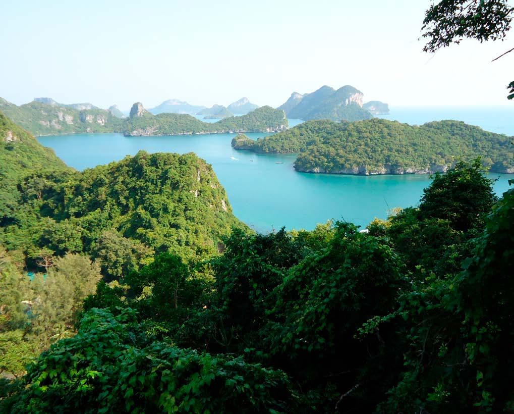
Koh Tao Marine Conservation Groups

In Southeast Asia alone, 88% of coral reefs are considered thre atened, with 50% of them listed as high or very high risk of disappearing from the sea. The degradation of these coral reefs directly affects the biodiversity of marine life that depend on the coral reefs for their survival. The local volunteer organizations have established a marine resource management course for environmental and restoration initiatives. These include management and monitoring of sustainability results and evaluation data on the potential impact of negative causes.
Marine conservation/protection of marine ecosystems is one of the biggest scientific issues in the world. The oceans are the largest ecosystem on earth, thus the survival of all living things depends directly or indirectly on the cleanliness of the sea. Keeping seas healthy to sustain future life on this planet is the goal of this Koh Tao conservation group. Coral reefs are a food source with biodiversity. Sadly, many of them are becoming increasingly degraded due to the impact humans have on the oceans caused by overfishing, precipitation destruction, and pollution from coastal activities. Increased carbon levels in the oceans are also leading to coral bleaching and more acidic water.
An example of these strategies can be seen in regulated marine protected areas (MPAs), which limit the impact of human activities. The ‘Save Koh Tao Community Group’ is a volunteer programme established in 2000 with the aim of having sustainable tourism on Koh Tao in the future. Their objective is to conserve natural resources, address local environmental concerns and educate and develop understanding in the community to work towards sustainable tourism on Koh Tao.
87 Charter Knowledge
The Islander #307
MYBA focuses on Sustainability
 written by MYBA photos by MYBA
Sustainability has become a strong talking point within the superyacht industry. Discussions seem to focus on designing yachts that are ‘green’ or ensuring that their operation has the least impact possible on the environment. But little is being said about the B2B events on the annual yachting calendar. The shows where the industry gathers to inspect and appraise the global fleet, to network and talk about environmentally-friendly practices and ecological awareness. So, we would like to broach the subject by speaking about the MYBA Charter Show that is held in Marina Port Vell, Barcelona.
The show has been taking steps to reduce the negative effect it has on water and on shore. We are taking responsibility and stepping up to the challenge. Although we are not there yet, we are adopting new practices every year that are bringing us closer to our ultimate objective, which is the ‘greenest’ show possible.
We are delighted that Octo Marine, a company that shares our Association’s concern and respect for the environment, will be joining us at the 2023 MYBA Charter Show and contributing to making it more sustainable. Octo Marine will be providing three water stations, one on the Octo Marine stand and two more within the general show area. Each station will be equipped with a chiller sparkling unit to offer cold, ambient and sparkling water, with a staff member to man the water station. So water bottles are set to be a key accessory at the 33rd MYBA Charter Show. If you forget to bring one with you or simply wish to support a worthwhile cause, MYBA water bottles will be on sale at the show entrance with proceeds going to a local charity.
We are also very happy that we have already drastically reduced the number of show bags produced and that they are made from recycled material. Bags will be handed over only to those who specifically ask for them and we are encouraging people to avoid using them. Lanyards, which are always a controversial subject, are also produced from recycled material. This year will see the introduction of recyclable cardboard for some of our branding.
All sponsors have been asked to consider distributing promotional items with an environmental focus, with printed catalogues being a thing of the past. Digital invitations are being sent out and single-use materials are a rare sight. We are continuing to offset MYBA HQ travel and hope that in 2024, we will be able to extend it across the show to include the yachts that wish to participate.
Minimising food waste is also a part of MYBA’s decisionmaking process. Properly managing food supplies for an event is tricky and that is where we need assistance from our show attendees - RSVPs are vital to avoiding a surplus of food. When it does occur, we are partnering with local charitable organisations to ensure that it is given to those who need it most.
Even the choice of theme for this year’s Superyacht Chefs’ Competition, “Foraged Fare” reveals our commitment to a sustainable future.
Participating chefs are required to use at least two foraged ingredients when preparing each dish. And the table decorations will also need to incorporate foraged items. One of the chefs who has already registered pleasantly surprised us by asking if he can extend the theme to his tableware, which means that the message has been received and is triggering action.
Moving forward and becoming more sustainable means that we need to change our habits. We invite you to be a part of this change. Visit: www.myba-association.com
88 Charter Knowledge M
Y B A
The Islander #307



SPECIAL BESPOKE TRAINING PROGRAMS / ONBOARD MED. PORTS Develop yourself professionally, acquire superior interior skills set & knowledge Provide extraordinary finest guest/owner experience www.barcelonacrewacademy.com I +34 636 553 984 I training@barcelonacrew.com T R A I N I N G & R E C R U I T M E N T M O R E T H A N 1 5 Y E A R S E X P E R I E N C E MALLORCA Cigar Expert & Service Whisky Expert & Service Cognac Expert & Service Caviar Expert & Service Basic Food Service Wine, Bartending & Mixology Introduction Basic Hk & Laundry Services Adv Service/ Silver Service Adv Wine Appreciation L2 Adv Butler / Valet service Food Safety & Hygiene L2 & 3 Foundation Leadership & Management IAMI Destination Event & Interior Management Junior Stewardess GUEST I Senior Stewardess GUEST II Expert Luxury Courses Management HoD 23-24 March 23-24 March 21-23 March 23-24 March C E R T I F I E D / R E C O G N I Z E D I N T E R N A T I O N A L I N T E R I O R T R A I N I N G G U E S T P R O G R A M A C C R E D I T E D B Y T H E I A M I
Passion for Paradise = Positive Ocean Change
 written by PADI photos by PADI
“If ‘sustainable tourism’, which aims to counterbalance the social and environmental impacts associated with travel, was the aspirational outer limit of ecotourism before the pandemic, the new frontier is REGENERATIVE TRAVEL, or leaving a place better than you found it”
- New York Times
The Islander #307 90
This year, join PADI in helping to create better conditions for our global population. Help local communities flourish and help restore our shared blue planet.
“ It’s time to evolve from the concept of doing no additional harm to healing our blue planet. Regeneration is just that. It is the continual cycle of rebirth, revitalising our synergistic relationships and restoring our planet for all species. Healing local communities, establishing a collaborative relationship with nature and most importantly, shifting our collective perspective to one of giving back – rather than taking.”
 - Julie Andersen, Global Director of Brand for PADI Worldwide
Charter Knowledge The Islander #307
PADI’s Top Regenerative Destinations
The next time you choose to travel, why not book an epic bucket list adventure that supports local conservation? You can even offset your carbon usage from flights thanks to PADI’s travel programme.
PADI has partnered with The Ocean Foundation to support The SeaGrass Grow Programme, empowering you to mitigate the carbon from your next holiday. You can contribute to the programme every time you book a trip with PADI Travel, or simply make a seagrass donation to offset your carbon usage. These beautiful spots will give you hope for our blue planet. By travelling to these local destinations, your tourism expenditure benefits local conservation efforts.
1. Revillagigedo Islands, Mexico
If you dream of magical manta encounters and being surrounded by schools of hammerheads while being buzzed by an orca, then the Revillagigedo Islands are perfect for you. Affectionately known as the Galapagos of Mexico, it is a diver’s paradise – and a UNESCO World Heritage site. At Roca Partida you can choose your adventure:- swimming with a school of giant tuna; being surrounded by Galapagos and Silky sharks; or meeting a whale shark.
Sail to the most well-known of the island chain, Socorro, on a liveaboard this spring for a chance to witness the pelagic lover’s paradise. As the seasons transition from winter to spring, lucky explorers can have intimate encounters with manta rays and playful interactions with bottlenose dolphins that seek divers for games they’ve created entirely unique to their pod! Even the occasional humpback whale encounter off the coast of Mexico. Getting to the remote Socorro Island is easier than you may think. Simply hop on a direct flight to Cabo, Mexico and then board your PADI Liveaboard.
Making a Positive Impact: Scientists have discovered through tagging that many of

the same animals found in these waters also migrate between Galapagos and Coco Island. This helped drive protection for the threatened pelagic species. In 2017, 148,087 square kilometres (57,177 square miles) was declared a marine park -Mexico’s largest fully protected marine reserve- and is free from fishing and other extractive activities. Diving fees are a considerable source of income for the protection of the park.
3. Fiji
Those looking for great visibility and exciting marine animal action should head to the warmer waters of Fiji any time of the year!
Of the 333 islands to choose from, Beqa Lagoon off the coast of Vitu Levu offers a shark haven. In just one dive, you can see bull sharks, whitetip reef sharks, blacktip reef sharks, nurse sharks and even tiger sharks! And to make this event even more magical, the massive shark gatherings take place amongst the vibrant hues of healthy coral.
Fiji is known for its vast amount of marine species and is the “soft coral” capital of the world. From pristine reefs first explored by Jacques Cousteau to areas still undiscovered, you’ll be delighted by the incredible swaying coral colour display. Also, visits from blue ribbon eels, manta rays, schools of bumphead parrotfish and even pilot whales are often enjoyed.
Making a Positive Impact: Fiji offers the chance to witness one of the world’s prime examples of the soft-coral ecosystem known as Rainbow Reef. But it is not just colourful reefs that make Fiji such a special place to explore this spring. A recent study in Fiji found that bull sharks form friendships with each other! Researchers studied data collected from 3,000 shark dives in Fiji’s Shark Reef Marine Reserve (SRMR), one of the world’s most sought-after diving destinations. SRMR is located in the Beqa Channel, off the southern coast of Viti Levu, and is a striking example of collaboration for conservation.
The Islander #307 92
4. The Bahamas
Or, head to the Caribbean, where the Bahamas plays host to some of the most spectacular mega-fauna in the world. We love the trifecta of Bimini, Grand Bahamas and Tiger Beach.
Plan a trip to Bimini to catch up with bull sharks, hammerhead sharks, friendly dolphin pods, and graceful schools of eagle rays. You’ll feel like you’ve stepped back in time to an island still not heavily commercially developed and traversed by golf carts. Bimini can be explored by divers and snorkelers alike and is absolutely stunning above and below the surface. Head to nearby Honeymoon Beach to swim with the local group of rays and don’t miss some of the wrecks sunk as artificial reefs, which host large schools of colorful fish.
Making a Positive Impact: The Bahamas is a model in shark conservation, with incredible research coming out of the home of “shark week”. Scientists discovered this summer that sharks form lifelong bonds and have complex social structures – they are literally the opposite of mindless predators! In addition, the Bahamas created the first shark sanctuary in the Atlantic Ocean in 2011, with over 40 shark species now residing in the 630,000km of protected area. This has ultimately helped shark tourism in the Bahamas contribute $100 million to the economy every year. It has also kept the conch and lobster industries flourishing thanks to a healthy ecosystem full of apex predators. Why not meet some toothy new friends while contributing your tourism dollars to a country that is a leader in marine conservation? Your Bahamas diving experience can be booked with 19 PADI Dive Centres. Visit www.padi.com.
Charter Knowledge The Islander #307
EXCELLENCE. DELIVERED.
By sailors, for sailors. doylesails.com
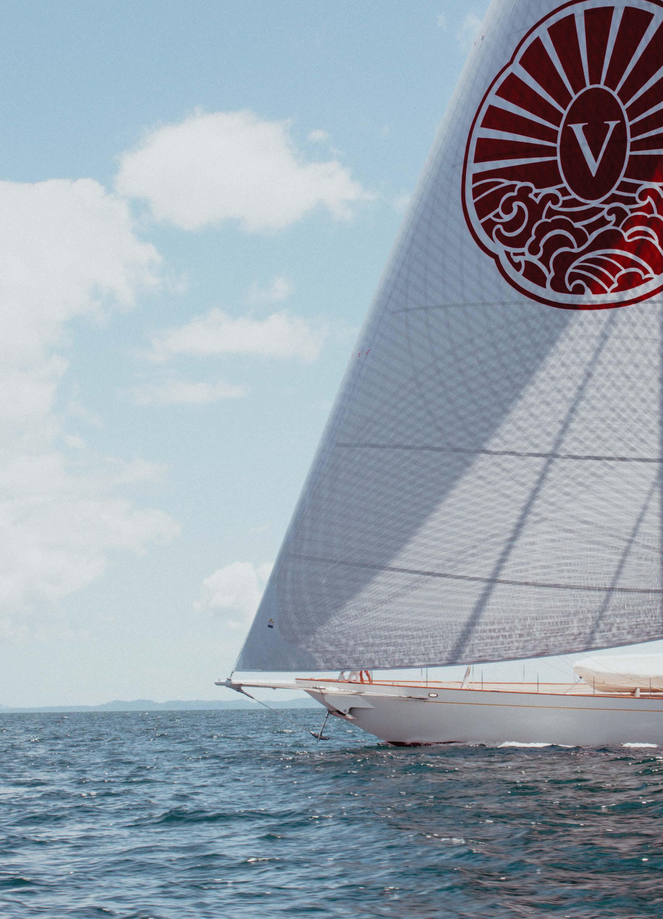 The sailmaker of choice to the world’s most spectacular superyachts.
VIJONARA // 39m
Hoek | Pendennis
Photo Credit: Harri Wren
The sailmaker of choice to the world’s most spectacular superyachts.
VIJONARA // 39m
Hoek | Pendennis
Photo Credit: Harri Wren
Regatta News
First IMOCA
Hydrogen Fuel Cell
Race Yacht
Nautor Swan 2023
Racing Season Unveiled
Superyacht Cup Palma 2023
Open for Business
St Maarten
Heineken Regatta
First IMOCA Hydrogen Fuel Cell Race Yacht
written by OceansLab photos by OceansLab
The OceansLab IMOCA will be the first to exclusively use hydrogen fuel cell technology, thanks to a ‘Hydrogen Power Module’. Created and developed by the team at Genevos, co-founder, Phil Sharp has a passion for renewable energy innovation.
“IMOCA race boats are the most innovative and extreme of ocean-going vessels. They are an ideal platform to showcase vital clean technologies such as hydrogen fuel cells, and prove their durability in the harshest of ocean environments”, says Sharp.
OceansLab will be the first race boat to integrate a hydrogen-electric energy system. The IMOCA zeroemission energy system will power all onboard energy, in addition to propulsion outside of the races.
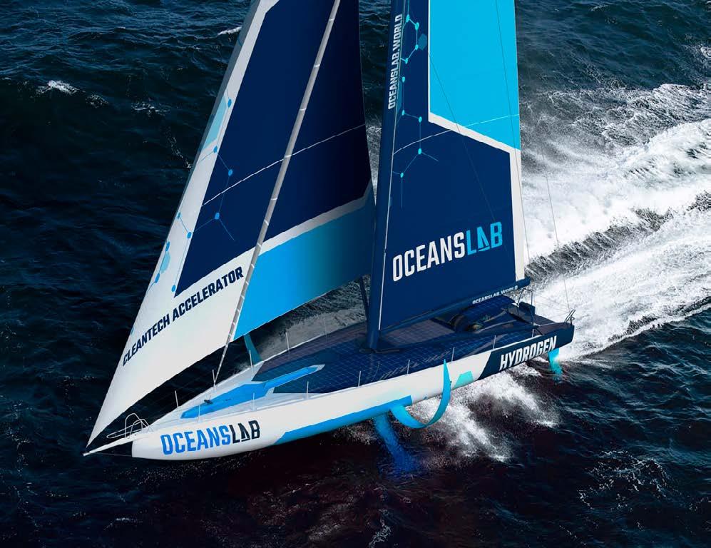
“Replacing fossil fuel power with renewable energy solutions is an important step forward not only for our sport but the entire maritime sector. Ultimately, I am sailing to win races, while also proving that by using the latest clean technologies, this can be done with zero emissions,” states Sharp.
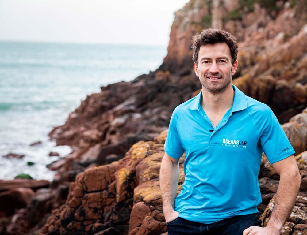
As well as hydrogen fuel cell technology, OceansLab will also be demonstrating how other crucial clean innovations, such as recyclable composite materials and solar PV, can perform together to create an ecoefficient yacht.
“To meet climate change targets, we need to start developing zero-emissions vessels across the entire maritime sector – today! This campaign will be an important benchmark in demonstrating that practical hydrogen solutions now exist that are ready to be embraced at scale”, he concludes.
OceansLab will be competing in the IMOCA Globe series grand slam events. These include transatlantic races; the Transat Jacques Vabre and Route Rhum. Also, major in round-the-world races; the Vendée Globe and The Ocean Race.
Sharp has achieved over 25 podiums in transatlantic and coastal racing, as well as winning two offshore championships and breaking three World Sailing Speed Records.
www.oceanslab.world
96 Regatta News
The Islander #307
Nautor Swan 2023 Racing Season Unveiled
written by Nautor Swan photos by Nautor Swan
Nautor Swan has unveiled a spectacular 2023 ClubSwan Racing season with an exhilarating globetrotting calendar that offers something for everyone across the entire Swan Rating and One Design range.
“ClubSwan Racing emerged from a desire to bring the passion, excitement and camaraderie of racing to the whole Swan family,” said Nautor Group President, Leonardo Ferragamo, “and we believe we have succeeded in that mission. Every year we have aimed to improve the experience for Swan owners and their crews, and I am sure 2023 will deliver more unforgettable memories, incredible adventures and many more shared stories.”
Both the Rating and One Design fleets will have their own dedicated circuits. The season starts in February in the Caribbean with the Swan Maxi Series, which includes seven events contested by Maxi Swans around the globe.
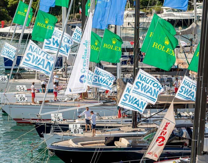
The 2023 season also includes four regional series which will be held in the Mediterranean, Baltic, The Solent and North America. The icing on the ClubSwan Racing cake is The Nations League 2023 which will be contested by the four ClubSwan Racing One Design classes throughout the season.
The One Design action begins with the ClubSwan 36 class returning to Split –after its debut there in 2022 at the season-ending European Championship– for the Swan
Croatia Challenge from April 25-29. This will be hosted by ACI Sail and has already attracted 15 entries. The event marks the first of the seven regattas that make up The Nations League.
The following month will see the whole ClubSwan Racing One Design family (over 40 expected entries) gather for the Swan Sardinia Challenge. The Marina di Villasimius of Marinedi Group is the venue once again following its own successful debut last year.
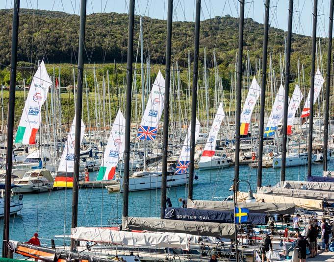
June sees the fourth edition of the highly competitive The Nations Trophy event in Porto Cervo, organised by Yacht Club Costa Smeralda. This is followed by the S&S Swan Rendezvous on Elba Island, organised by the S&S Swan Association and hosted by Marciana Marina. July brings the highlight of the Rating Swan season; the Swan European Regatta in Turku, Finland.
In August, as per tradition, the Swan One Design fleet will race the Copa del Rey MAPFRE, 41st edition, organised by the Real Club Nautico de Palma. In September, the ClubSwan 36 and ClubSwan 50 classes will contest their own European championships, with the former being hosted by Marina di Puntaldia, Italy, and the Menorca ClubSwan 50 Europeans at Club Maritimo Mahon, Spain. Both locations are first-time venues for ClubSwan Racing.
The 2023 season comes to a fitting conclusion in October with all four One Design classes gathering again for the Swan One Design Worlds in Marina di Scarlino, Italy. This finale that will also determine the destination of The Nations League title and the world titles in each fleet.
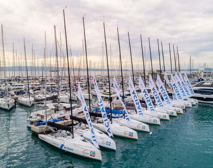
98 Regatta News
The Islander #307
www.nautorswan.com
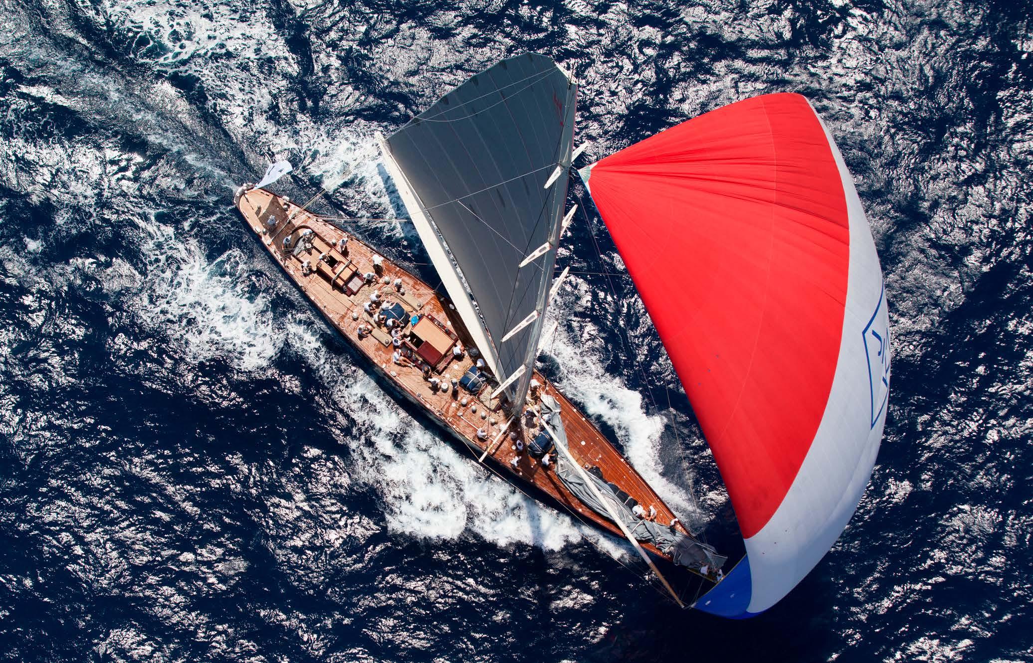
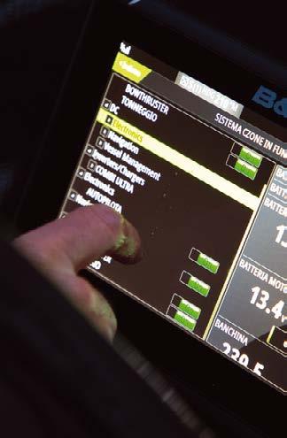
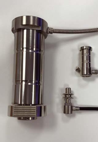
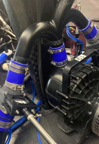


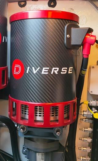
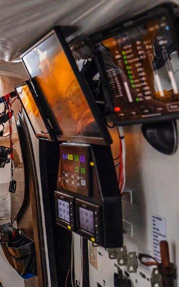
Delivering Maximum Performance Electronics www.diverseps.com info@diverseps.com +44 02380 453399 Hydraulics Instrumentation Loadcells Propulsion Systems Ballast Systems Custom Mechanical Winch Systems Complete Systems Integration • Electronics & Electrical • PLC Software Design • Navigation & Racing Instrumentation • Load Sensing Pins, Shims & Links • Mast Head Wind Hardware • e-Propulsion • Hydraulic Power Systems • Custom Hydraulic Actuators • Foiling Actuation • Deck and underdeck winch systems • SubSea control systems • Ballast Systems Onboard Systems for Racing, Performance Cruising and Superyachts J Class - Velsheda
Superyacht Cup Palma 2023 Open for Business!
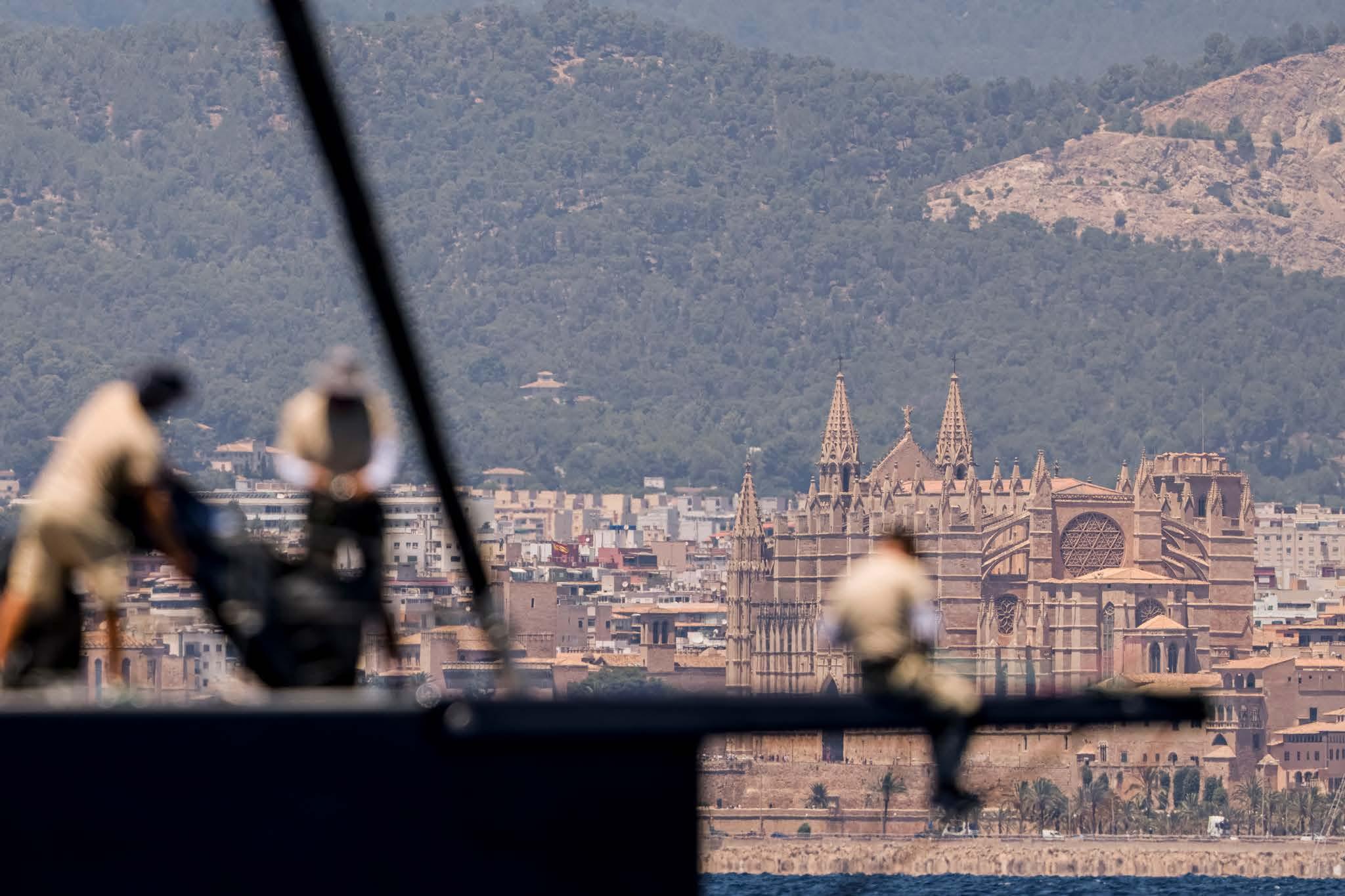 written by The Superyacht Cup photos by SAILING ENERGY©
Entries have opened for the Superyacht Cup Palma, the highlight of the Mediterranean superyacht calendar on 21st -24th June 2023. Over a dozen prospective entries have declared an interest including a trio of awe-inspiring J Class yachts. Alongside likely returnees, Velsheda and Svea is Lionheart, last seen at SYC in 2014 when she took three race wins.
“It’s been a while since we last raced at the SYC Palma but you never forget a great event with terrific sailing conditions, so we are all looking forward to a longoverdue return”, said Lionheart’s skipper, Toby Brand. Other superyachts potentially returning include Archelon, Pattoo and Kiboko 3 - the latter pair only separated on countback at the top of a hard-fought Class A in 2022, with the 33m Pattoo edging the win.
Meanwhile, Superyacht Cup Palma welcomes a firsttimer; the Swan 100 Onyx (ex-Aquarius Alfa, Flying Dragon II). “This will be an SYC Palma baptism for Onyx, but an event we are all expecting will be one of the highlights of our season,” said skipper Sam Forbes.
“As ever, one of the pleasures of being involved with Superyacht Cup Palma as we go into its 27th year is welcoming newcomers and greeting old friends once again,” said SYC Event Director, Kate Branagh.
“We are also delighted to be returning to our base at the prestigious Real Club Náutico de Palma, our longstanding race management partner.” Branagh also welcomed a new addition to the SYC family in the shape of worldwide yacht management company, Hill Robinson, which is joining as a Silver Partner.
100 Regatta News
The Islander #307
St Maarten Heineken Regatta
written by Alice Driscoll photos by www.consultingpartners.co.uk
2-5 March 2023 will see hundreds of international sailors and their racing yachts gather in Simpson Bay for the 43rd St. Maarten Heineken Regatta.
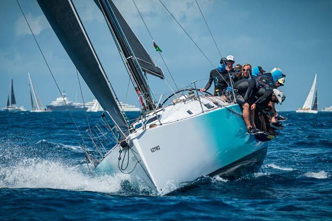
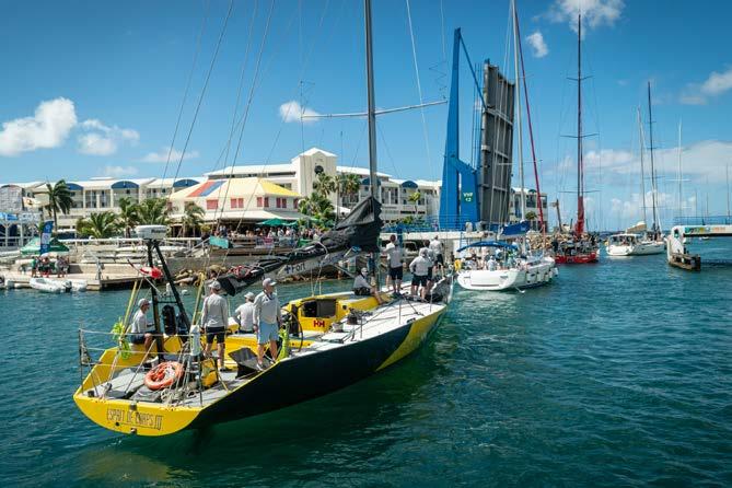
This #SeriousFun regatta attracts everything from Maxis with highly-polished, high-performance professional crews, to thrill-seeking catamarans, and close racing within the sportsboat classes. Skippers and crews range from Olympic sailors, world-class tacticians and navigators, to newcomers. Anyone can come and have a go - whether a seasoned sailor, a first-timer on a crewed charter yacht or a group of friends hiring a bareboat. Even liveaboards and world travellers enjoy the Regatta’s “Serious Fun” competing in the Island Time class races.
With over 35 countries participating, 2023 will see exciting battles across all classes. Long courses contain upwind, downwind, and reaching legs between St. Maarten, Anguilla and St Barth, whilst one of the highlights of the event is the much-loved round-theisland race, which challenges navigational skills as well as racing prowess.
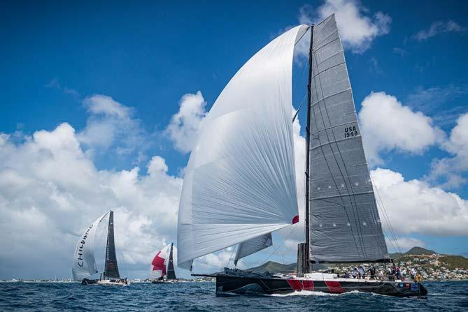
2023 sees the return of the Volvo fleet, with at least three VO65s taking part, including Team JAJO, Team Austrian Ocean Racing, and Ambersail II. Two VO70s, including I LOVE POLAND, helmed by Grzegorz Baranowski will also be competing. The popular sportsboat divisions will see more than 25 yachts comprising up-and-coming sailors pitted against legendary local talent from St. Maarten/Martin, Antigua and Barbados, as well as from the USA and the UK.
A key aspect of the regatta is its inclusivity across all ages, countries and capabilities. Antiguan-based American, Pamala Baldwin offers places on her J122 Liquid for young and rising talent to gain international racing experience. Having swept the honors board in 2022 winning CSA 7 class, ‘Best Overall Performance’ and being awarded the
trophy for representing women in sailing, Liquid is one to watch in this hotly-contested class.
Veteran, Bernie Evan-Wong and his crew onboard Taz will benefit from 38 years of experience competing in this event. This year Taz will face competition in the sportboat class from a new addition to the fleet, Team Budget Marine’s Melges 24, skippered by Jolyon Ferron. Jolyon’s father Robbie Ferron was the first Commodore of the Sint Maarten Yacht Club and one of the founding members of the St. Maarten Heineken Regatta.
For those who don’t want to bring their own boats to the Caribbean, the St. Maarten Heineken Regatta offers a wide range of charter options including local catamaran Arawak, VO70 Hypr, and VO65 Ambersail 2 alongside a selection of modern yachts that beautifully mix luxury and performance and Diam24 trimarans. Team charters come with a professional captain, often extra crew and training, so even sailors new to multihulls or ocean race boats can have some ‘Serious Fun’ racing these machines.
The 43rd edition of this famous regatta also sees the launch of a new environmental mangrove planting initiative which will leave a growing and long-lasting legacy from every yacht taking part. “The aim is to plant at least 100 mangrove trees, representing one per yacht to leave a positive impact on the island,” says Korteweg.
Working closely with Nature Foundation St. Maarten and EPIC (Environmental Protection in the Caribbean), the trees have been grown from locally sourced seeds. Regatta competitors are encouraged to take part in the mangrove planting, and a beach clean on the famous Kim Sha beach.
The #SeriousFun continues onshore post-race with renowned local and Caribbean food vendors and, of course, plenty of bars serving refreshingly cool Heineken.
101 Regatta News
The Islander #307












The European Dental Practice Creating beautiful smiles Monday to Friday 9.00 - 17.00 Evening & Saturday appointments available Calle Zaragoza, 1-1º, local 17-18 Mercadona Shopping Centre Son Caliu 01781 (+34) 971 681 439 / (+34) 636 308 789 www.europeandentalpractice.com • Friendly dynamic team • Great with kids and nervous patients • Same day emergency appointments • Cosmetic treatments including whitening • Hygenist • Dental Implants Illetas Shopping Center M. 605 444 555 605 927 912 info@mallorcaclothing.com www.mallorcaclothing.com 3 Plaça del Olivar, Palma & Now Open in Santa Catalina Market (+34) 871 55 68 16
News 4 Stews
20 Ways To Be More Sustainable On Board
A New Era for Sustainable Interiors
Virtual Pursers Don’t have a Cyber Security Fail
20 Ways to be more Sustainable on Board
written by Hannah Russell photos by Hannah Russell
It was with great excitement that I discovered this month’s issue will be based on Eco Sustainability in the yachting industry. From the Sustainability Hub at last year’s Monaco Yacht Show to the hot topic at the Dusseldorf Boat Show, it is great to see how much focus this subject is getting. Seeing the changes taking place to make the industry more sustainable to protect the thing we love the most is heart-warming.
After writing many in-depth articles about specific product and brand alternatives, I decided this month to make a simple checklist of 20 practical things you can do on board to use less plastic, reduce your yacht’s waste, or just have a positive impact on the planet. You can use this as a starting point to check how many things you have done, or as inspiration for things you can still do!
SWITCH TO USING A REFIL SYSTEM ONBOARD: Store large 5L, 10L or 20L containers in the bilges or racks, and refill smaller bottles in cleaning caddies and bathrooms. Do this for CLEANING, LAUNDRY and TOILETRIES and you can reduce your plastic use onboard by 75%!
DITCH THE GUEST MINIS: So many yachts I work with refill all crew toiletries but don’t know there are some GREAT luxury options for guests with refill options too! Most brands traditionally used on board for guests are full of synthetic fragrances, packaged in small-single use bottles - and just a bit dated.
Hannah Russell hannah@viveco.co
+34 634 326 981
www.vivecoyachts.com
Hannah is an ex-stewardess who now runs Viveco, an Eco Yacht, Hotel and Home supply shop in Mallorca.
LOOK FOR GOOD QUALITY PRODUCTS: What’s on the inside matters as well. Check the ingredients list on cleaning and toiletry bottles. Look for 100% biodegradable products that won’t damage the environment. Stay away from synthetic fragrances, colourants and preservatives, phthalates, etc.
SIMPLIFY EVERYTHING: Instead of buying a different product for the floor, surfaces, walls, etc, get one great all-purpose product. This saves waste, money and time. Instead of stocking 10 different stain removers, find a high-quality one that does everything.
SWAP DISPOSABLES FOR REUSABLES: Still using throwaway items like Ziplocs? Replace them with silicon-based reusables that last for years. There are now reusable, sustainable alternatives for nearly everything. Swap Tupperware for glass versions or stainless steel.
Protect we love
REEF-SAFE SUNSCREEN: Make sure the sunscreen you offer guests and crew is good for them and the planet. At a bare minimum, that means making sure your sunscreen is free from oxybenzone and octinoxate as these block the sun’s rays from reaching coral. You can go further and only offer certified reef-safe options, mineral creams and make sure the product is free from other nasties.
SWAP BOTTLES FOR BARS: If your crew is up for it, you can save money and SO much plastic by swapping to Shampoo, Conditioner and Soap Bars instead of bottles. You have to be ready for a change and invest in some good storage options, and soap docks to keep them in good (not slimy) condition, but this will eliminate all plastic waste.
USE CONCENTRATED CLEANERS: If space is an issue, stock up on super concentrated cleaners that you can put into spray bottles you already have and just add water. Great for having extra stock onboard or for yachts with minimum storage space.
SWAP DISPOSABLES FOR NATURAL MATERIALS: There are some products you use onboard that have a limited life and need to be changed, such as toothbrushes, body sponges, etc. Swap these for natural alternatives such as bamboo, loofah, sponges, etc. This means they can be composted rather than end up in landfill.
STOP MICROPLASTICS No.1: Are you using anything that is made from plastic such as sponges, microfibers, fleece jumpers, etc? Be aware that these are all made from plastic and are shedding each time you use them. Swap for natural alternatives such as loofah, bamboo fibres, natural cotton, etc.
STOP MICROPLASTICS No.2: Plastic fibers are in many things fleeces, sports clothing, uniform, even ‘eco’
104 News 4 Stews
The Islander #307
items such as recycled clothing. Use a Guppy Friend Bag to try and stop as many as possible from entering the waterways. If you are heading into a refit ask your engineer about retrofitting a microplastic filter like Planet Care to your washing machines.
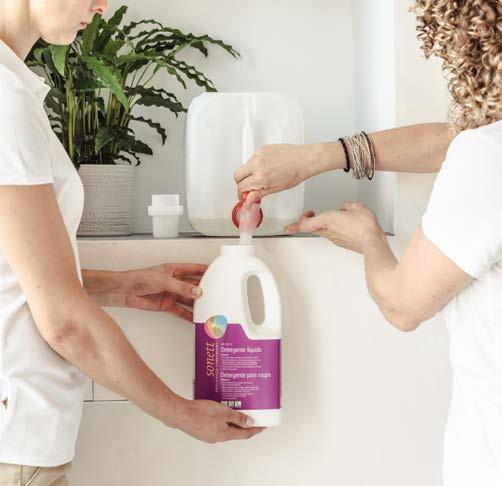
INSTALL A WATER FILTRATION MACHINE: No more plastic bottles for crew or guests! In addition to the unnecessary waste and cost, plastic bottles leach into the water over time. There are many options for filtration machines available from under the counter, to full systems for the whole boat with hot/cold/sparkling, etc. There are also beautiful pitchers and water bottles available, so there are 100% no more excuses.
read between the lines to make sure you understand what you’re buying.
TALK TO SUPPLIERS: Yachts have a huge amount of purchasing power and the more the industry demands change, the quicker it will happen. Talk to local suppliers and agents to say you want the products and deliveries to arrive with as little plastic as possible. Keep reusable containers on board to give out where possible for deliveries and, most importantly, keep talking to businesses about what you want.
DITCH THE NESPRESSO MACHINE: It makes rubbish coffee and is based on some great marketing by George Clooney. From a simple but chic French Press, a bean to cup or a full barista cappuccino maker, there are lots of alternatives that look better, taste better and eliminate the hideous amount of pods used.
IF
YOU ARE WORLDWIDE TRAVELLING, REDUCE
BEFORE YOU GO: If you are about to undertake a long round-the-world trip or even heading to the Caribbean, remember that the rubbish facilities in these places are much less cohesive. Take off as MUCH waste as possible before you arrive in these places. Stock up adequately to avoid buying unnecessary products and disposing of large amounts of unnecessary waste while there.
ECO UNIFORM: Look at your current stock and options. Choose more natural materials, recycled materials, reduce the amount and choose something that won’t go out of style in a year. Talk to suppliers about the best eco options available and about reducing packaging waste.

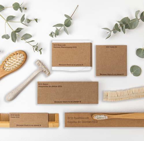
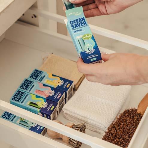
LOCAL PRODUCTS: Where possible, when you arrive at a new destination, use the local suppliers and produce as much as possible. Even if your guests have requested watermelon flown in from a specific location, also offer them a local fruit platter or the specialty of where you are. This helps keep the local economy healthy and saves on air miles!
AVOID BIOPLASTICS/GREENWASHING: There has been a surge in plastic alternatives in recent years with many claims of ‘compostable’ and ‘biodegradable’. While these are good in theory, the reality is more complicated, with many of these items still taking years to break down, even then into micro-particles that require industrial composting facilities. Research and
GET INVOLVED: Look out for local beach clean-ups wherever you are. If there isn’t one, why don’t you organise one and try to get local communities involved? Living on board a yacht and travelling to some of the most beautiful places in the world is such a privilege, so let’s try to keep these places as clean as possible for local communities and future generations.
LOOK FOR COMPANIES THAT DO GOOD: Wherever you can, look for companies and people that go above and beyond to help not only the planet but other people too. Look for ‘1% to the Planet’ stickers, read about companies’ ethics and history, and try to spend money where it will have the biggest benefit.
I’d love to hear if you have any other ideas. Also, how many of the above your yacht has already implemented and what do you think has made the biggest difference!
Protect what love most
105 News 4 Stews
The Islander #307
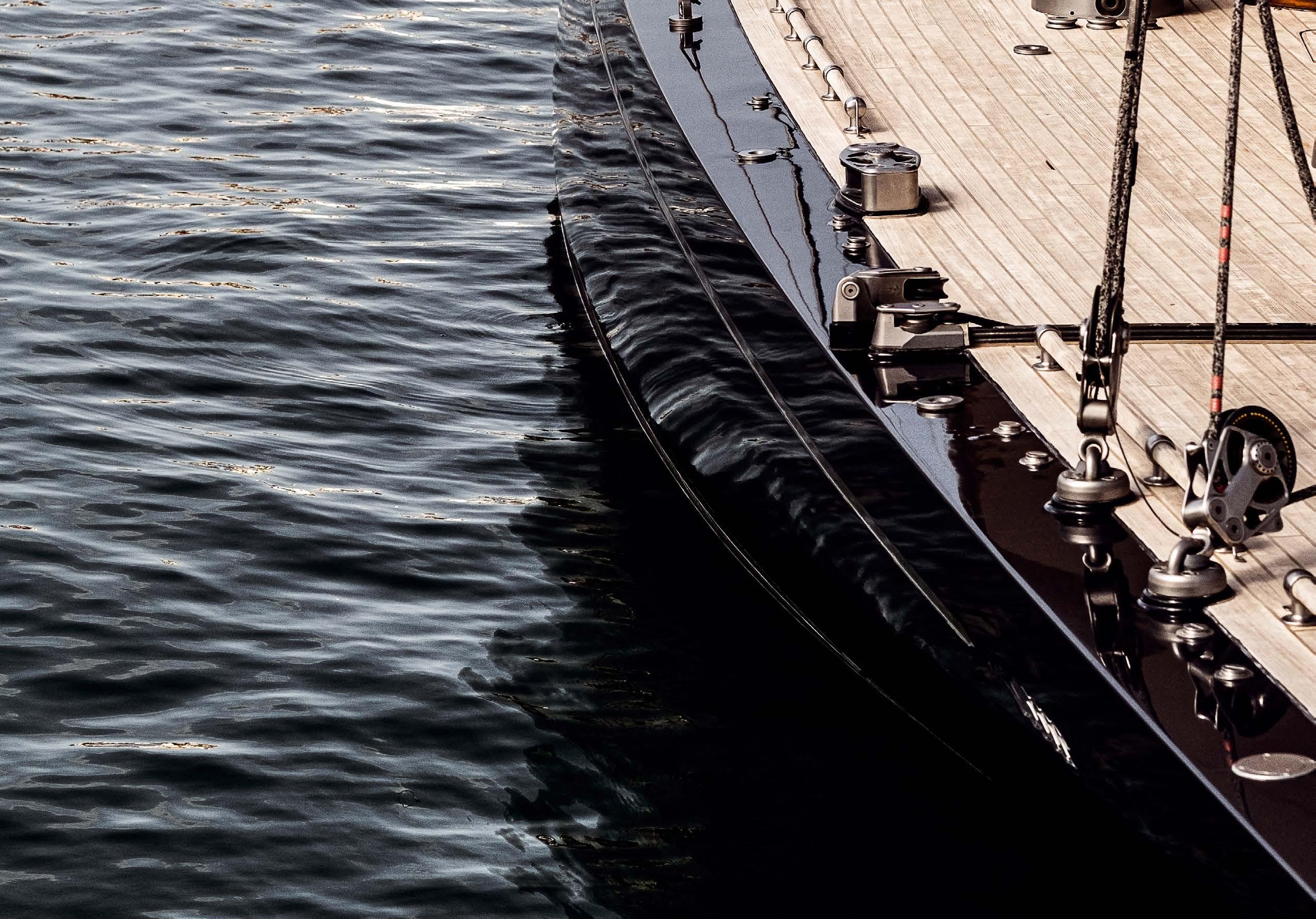
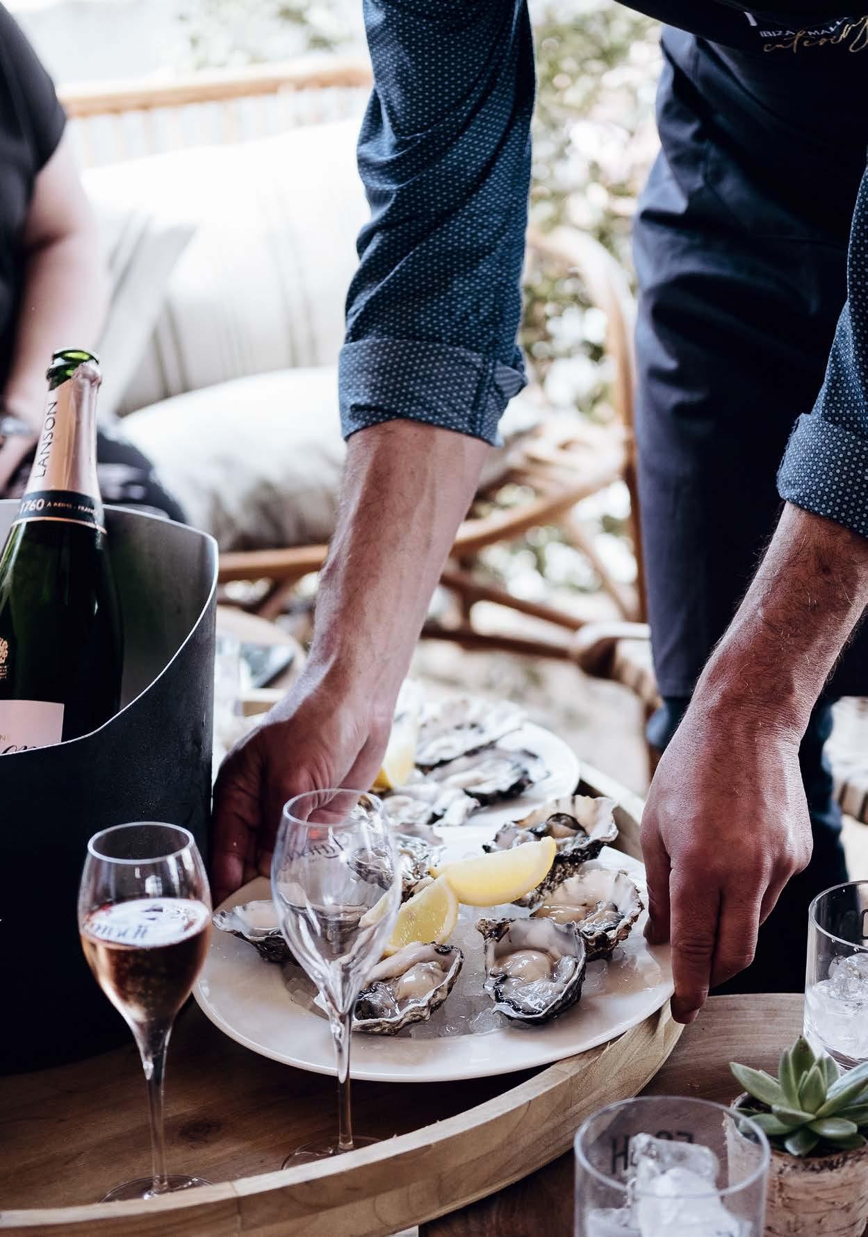
Come and Discover YACHTING Follow us 27–30 April 2023
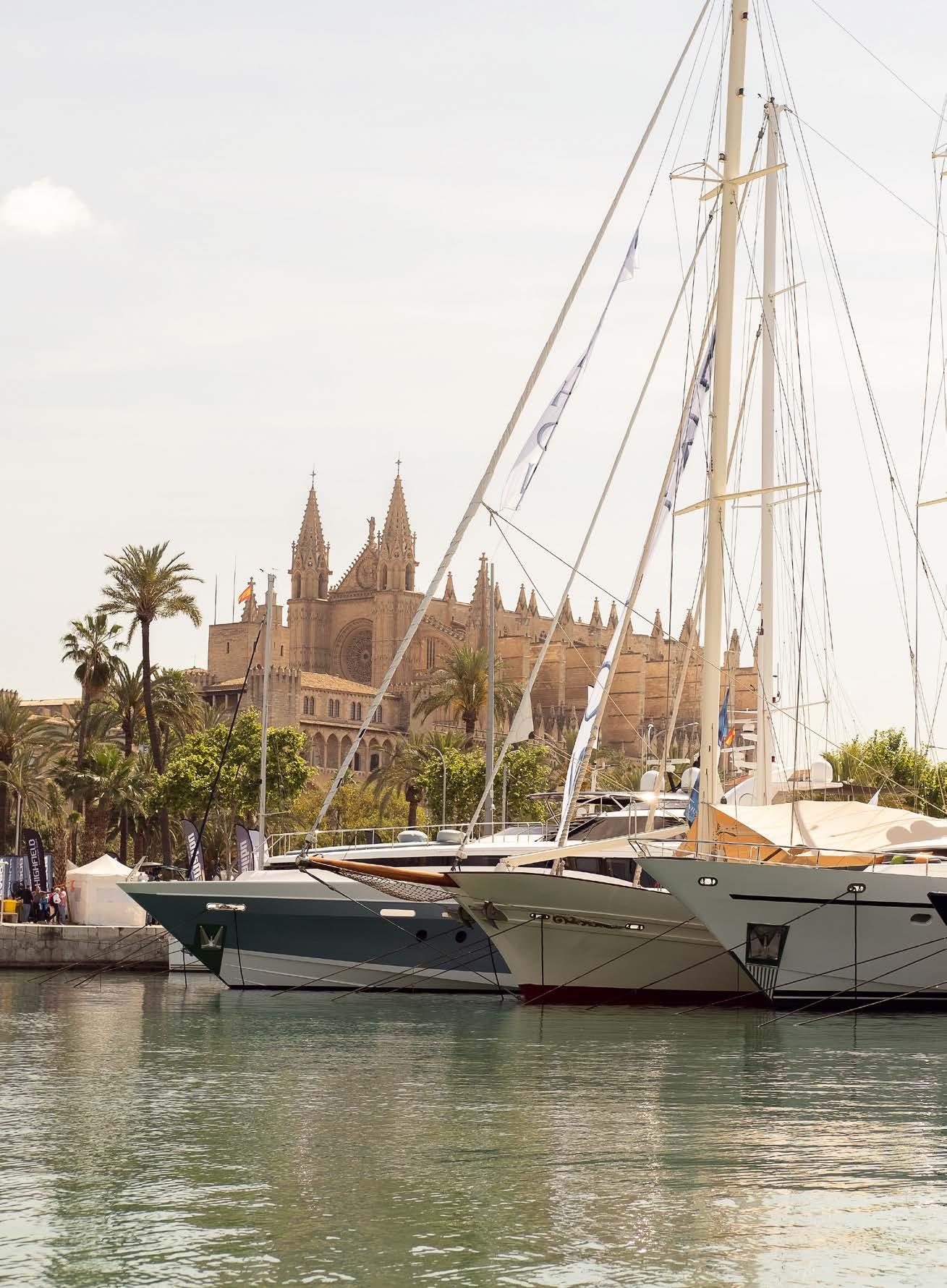
Enjoy LIFE Visit PALMA Perfectly timed before the Mediterranean summer season:
Moll Vell
Palma,
A New Era for Sustainable Interiors
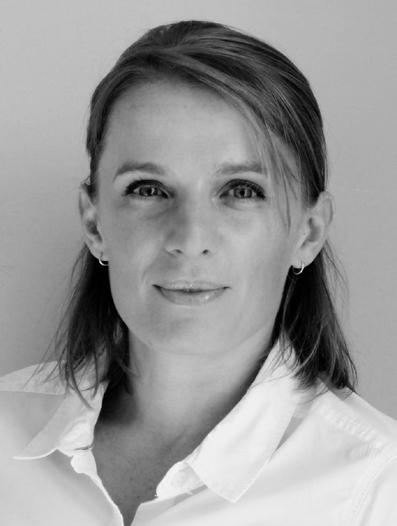
 written by Clair Minto photo by Clair Minto Clair Minto info@chiefstewshop.com
The ‘sustainability’ concept dates back less than 30 years. Defined as ‘the needs of the present without compromising the ability of future generations to meet their own needs’ has never been more apparent than now. Looking at different areas on board is a great start to making changes, and where better to focus than on tableware? Here are some options that are better for the planet without sacrificing those amazing ‘tablescapes’ that we love to produce and the guests love to see!
RATTAN: An incredibly versatile material that is used to make outdoor furniture, baskets and decorative items. Unlike synthetic materials, rattan is 100% biodegradable, meaning it will naturally decompose without causing harm to the environment. As it is used in place of wood for many items, it also preserves our forests by reducing deforestation and logging.
Rattan tableware items include chargers, placemats, napkin rings, oil and vinegar holders, bread baskets and so much more. These items are durable, easy to clean and last a long time, therefore cutting down on waste.

LINEN: A natural material derived from the flax plant, resulting in lightweight but incredibly durable napkins and tablecloths. The flax plant is fast-growing and requires little water, especially when compared to cotton. When untreated, flax is fully biodegradable and hailed as the ultimate sustainable textile. The crisp feeling of a linen napkin is luxurious and, as it can be embroidered easily, the design options are endless.
SILVER: Whilst it might not be the first material of choice when thinking about sustainability, there are some ways that silver fits into this category. First is its durability. Good quality silver flatware can last a lifetime - and beyond. It’s also infinitely recyclable; it can be melted down and reused again and again. Did you know silver is generally a by-product of the industrial mining of other metals such as copper, zinc and gold? So, any silver napkin rings, trays and cutlery can be polished up and reused forever and will last much longer than any synthetic counterparts.
PORCELAIN: Ceramics have been utilised by mankind for millennia due to the abundance of raw materials and relative ease of manufacture. Porcelain has great strength and resilience and will last a long time. Ceramic items take a long time to break down, but when they do, they don’t release any harmful substances. Some companies’ production of porcelain is more sustainable than others. When items are handmade and not produced by factories, this is a sign of quality, and better for the environment. We have also recently seen new ways to recycle porcelain so that it can be crushed and repurposed. All in all, it is not a bad choice and may be preferable to the high content of bone ash found in bone china, which is a by-product of the highly unsustainable meat industry.
BAMBOO: When it comes to beach and barbeque setups, you certainly don’t want to be transporting porcelain plates. This is where new-style bamboo plates, cups and cutlery come in. Bamboo is infinitely better for our planet than melamine or plastic, and there are now plenty of stylish washable bamboo pieces that will last just as long as plastic.

There are many ways to reduce, reuse and recycle when it comes to table decoration; old glasses used as vases; chipped bowls as centrepieces; driftwood and shells as decoration; old napkins repurposed as service clothsthe options are endless.
So next time you’re going through your table decorations or linen cupboard and you need to replace something, look at purchasing items that are made in a sustainable way from materials that will last and/or are fully biodegradable.

108 News 4 Stews
(+44) 781 667 8634 www.chiefstewshop.com I:
The Islander #307
@chief_stew_shop
Whether enjoying a leisurely cruise or some serious sailing, a good night’s rest is as essential on water as on dry land.
















Approximately 30% of your time on board will be spent sleeping and we feel that’s too long to tolerate any discomfort. Having produced premier mattresses for new and refitted yachts of all sizes since 1992, Neptune specialises in high quality mattresses, slat systems and bespoke bed linen. We can provide bespoke advice on the exact product that best suits your needs. All mattresses and bed linen are hand-made in the Netherlands and represent the finest quality in terms of materials and craftsmanship. We deliver directly to owners or yacht builders, anywhere in the world.

















IMO certified mattresses The
of
comfort PLEASURE CRAFT SUPERYACHTS SHIPYARDS RESIDENTIAL Head Office and Production: Graanmarkt 4, Zwaagdijk-Oost, the Netherlands, T +31 228 562 045, info@neptune.nl Sales & Advice Balearic Islands, Palma de Mallorca: M +34 646 897 378 / +34 627 844 229, mallorca@neptune.nl Sales & Advice Spain, Alicante: T +31 228 562 045, info@neptune.nl Visit www.neptune.nl
highest quality
sleeping
MATTRESSES MATTRESS TOPPERS SLAT SYSTEMS FULL MOTION BED LINEN MEMBER OF THE BOTMAN COMFORT GROUP FREE P I LLOW PEN T U NE ANNIVER SARYPROM O T I NO *terms and conditions on www.neptune.nl/en/ 30 YEARS Port de Palma Puerto dePalma El Terreno Car e d Andrea D a Av nida d G br l Ro a Palma Carrerd’Espartero Avenida de Gabriel Roca Avenida Joan Miró 3 VISIT OUR EXPERIENC E C E N ERT ADINEVA AOJ N M I RÓ 3 LOCALE • PALMA DE MALLORCA
Don’t have a Cyber Security Fail!
written by Virtual Pursers
photos by Virtual Pursers
High-profile owner and guest information is a top priority and needs to be completely protected. Cyber Security attacks are generally aimed at accessing/ destroying sensitive information, or extorting and stealing money. Many yachts lack the most basic security measures and yet they need them the most. Here is some basic knowledge and a few tips you can easily implement:
Malware is an abbreviation of “malicious software”, which includes viruses, worms, trojans, spyware, and ransomware, and is the most common type of cyberattack.
A Man-in-the-Middle (MitM) attack involves intercepting the communication between two termini, for example, a user and an application. The attacker can steal sensitive data, eavesdrop, and impersonate each party participating in the communication – a scary thought!
Injection attacks insert malicious code into a web application. Successful attacks may expose sensitive information, execute a DoS attack or compromise the entire system.
• Remember that email is generally completely insecure. Never send anything commercially or financially sensitive via email, especially bank details, credit card numbers, etc.
• Never, ever click on any link in an email from an unknown source.
• Do not open attachments from anyone unless you are expe cting them.
• Be mindful of the email source. Anyone’s email address can be spoofed (faked), so if a known contact suddenly sounds somehow different, then don’t be shy about checking that everything is ok and that it is them!
Virtual Pursers co-founders, Bec McKeever and Dominique Smit offer their top tips for how to take action and finally stop procrastinating. Virtual Pursers provide yacht administrative assistance to all vessels, no matter the size of the yacht or the extent of the need. www.virtualpursers.com
Data Leakage and hacking are two major problems in the modern-day working environment. Use these tips to ensure you do everything you can to mitigate falling victim to these:
• Use decent antivirus/security software.
• Be careful how you connect to Wi-Fi networks and use a VPN where possible
• Never, ever connect to an insecure public WiFi network that does not require a password.
• Always stay updated on the latest version of the operating system
With the assistance of the International Maritime Organisation , vessels can mitigate threats by adhering to the Guidelines on Maritime Cyber Risk Management. The recommendations are complementary and can be easily incorporated into existing risk management processes.
110 News 4 Stews cyber security
The Islander #307
Chefs & Foodies
Chef's Corner
Taunnee L. Fourie
Marc Fosh
How to make the perfect Tempura
security
Chef’s Chat Taunnee L. Fourie
interview by Jens Oomes
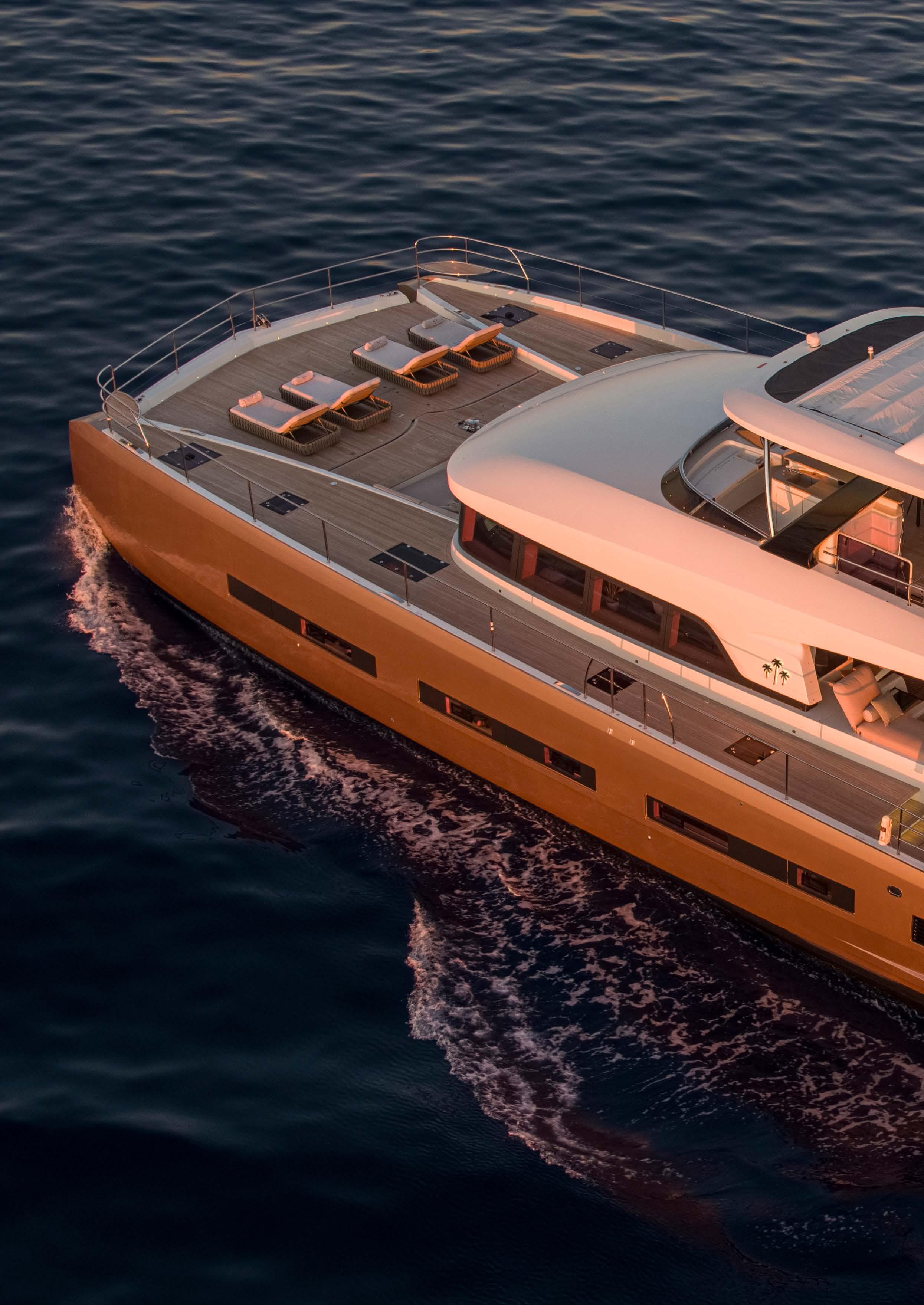 photos by Stuart Pearce
The general idea of chefs is that they are artistic, temperamental and interesting. It is their passion and creativity that can make a tremendous difference to the guest experience on board. Islander Editor, Jens Oomes interviews chefs to catch a glimpse of how they see the world.
The Islander #307
Chef, Taunnee Fourie hails from South Africa. She has always worked on catamarans and is now the proud chef on board the 78ft motorcat, Sasta, which is available for charter in the Mediterranean. It is probably Taunnee’s humble demeanour that sets her apart from most chefs and makes her look at things in a unique way. She’s not very interested in celebrity chefs but instead, lets herself be inspired by people like @appalachian_forager on Instagram, who forages mushrooms. She doesn’t compete with other chefs but instead endeavours to be a better chef than she was the day before. While it seems that many chefs are continuously trying to reinvent food, Taunnee’s down-to-earth approach, style and levelheaded insights are key to her success.
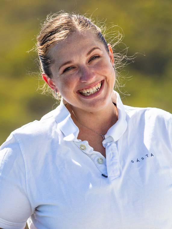
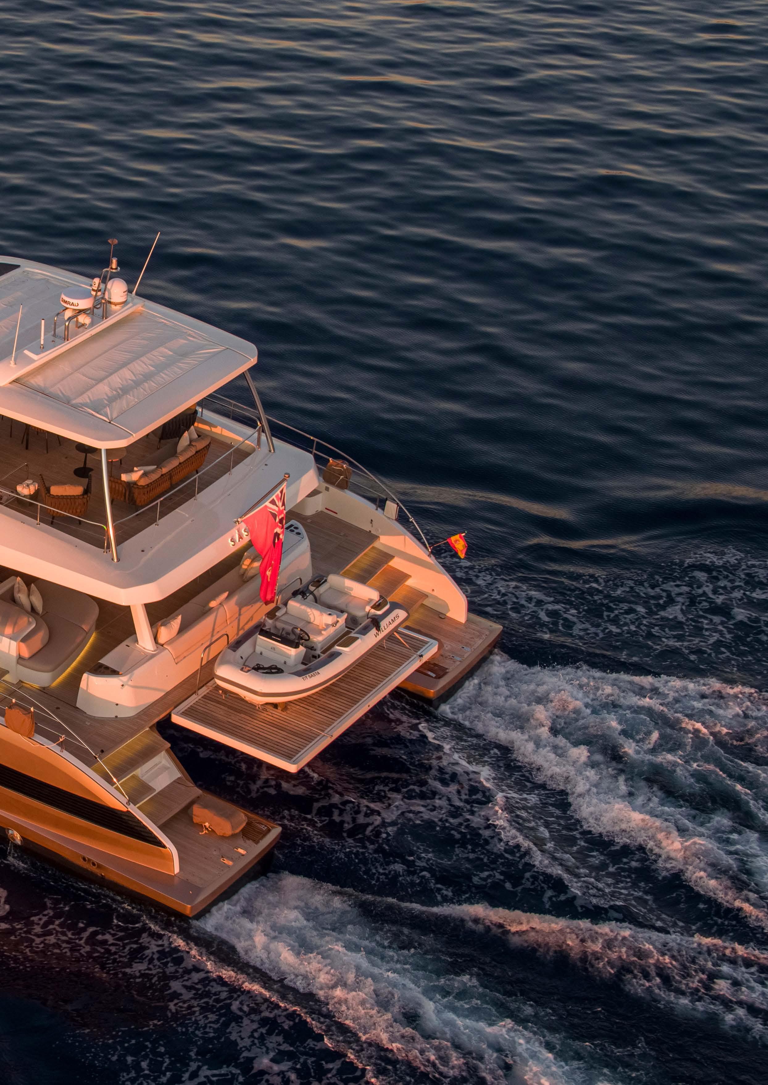 The Islander #307
What is your signature dish?
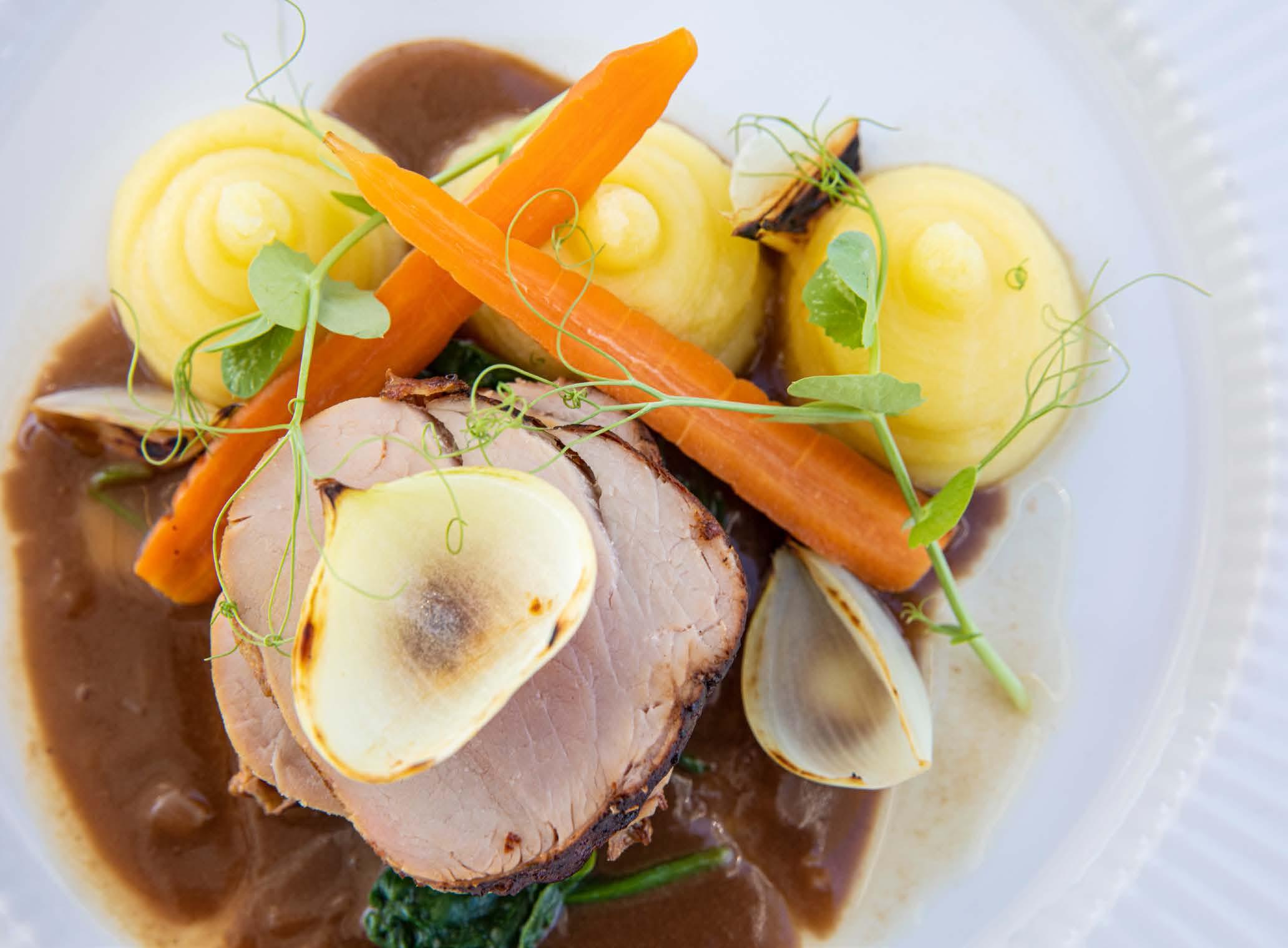
Oh, that’s a difficult one, I’d like to say slow-roasted pork belly, pommes puree and crisp butter vegetables with an apple cider gastrique – it’s one of my favourites to make, and has so many memories for me. Or, it could be my pancake-milktart cake, a little combination of two South African delicacies amalgamated into one. You know, my cooking style can be defined as simple, flavoursome and wholesome. I am not shy in admitting
What made you want to be a chef on yachts?
It wasn’t my original plan to become a chef. I was studying for my Diploma in Hospitality Management but became inspired by the chef at the college. His passion for cooking was infectious; the creativity with simple products, cooking while maintaining the integrity and freshness of the product at hand, and the flavour combinations were incredible. By the time I completed my Diploma, I had accumulated credit through my workplace experience,
that I am still learning - there are always new dishes I haven’t made or a technique I need to try. So when I am able to execute these learning experiences it’s a moment that makes me proud of myself. But what really spikes my sense of pride is when I send out a dish that results in clean scraped plates or guests asking for more. It means I have brought words off a menu to life and enhanced an experience.
and used this to do the cooking course instead with Chef Aviv Liebenberg. Being a chef on a yacht allows for a more personal connection with my guests, whether it’s a spin on their favourites or testing their adventurous side with a new recipe. This connection reflects in my cooking and adds to the overall experience of their meal, which to me is the whole point of a meal! It’s not just what you are eating but the food composition and the experience of the moment. A yacht is a great platform for these personalised culinary experiences...and who doesn’t like an office with a beautiful view of blue water and sunny skies that change location often?
Chefs & Foodies 114
The Islander #307
I gather you don’t come from a yachting background?
No, but I’ll tell you about my first week in the industry!!! We were busy doing training with our sister vessels when a squall caught everyone off guard. The vessel I was on went from being occupied by multiple crew to only four as everyone scurried to the different vessels. Our distinguished crew of four consisted of one experienced sailor; one stew/cook/deck with only one year’s experience under the belt; another stew cook/ stew three months into yachting; and myself – on week one! Obviously, I had no idea what I was expected to do except follow instructions. We had to pick up anchor, catch and secure all the cushions, recover the tender that was popping up and down on the side of the boat and, additionally, we had to unmoor from our sister vessel that was on its way to grounding. By some miracle, the three of us got the deck under control while the master was behind the helm, navigating us back to port. We then had to recover the tender, which meant one of us had to get in the tender while underway on rough water and get it onto the tender lift. None of us had ever driven a tender - I learned a lot that day! Having someone that is confident (not arrogant) with a calm demeanour behind the helm makes the world of difference. Not one of the tasks that was accomplished that day by inexperienced crew was done without the master’s clear instructions. Not once did he lose his head or temper. Being part of a cohesive team is the difference between seconds and minutes. I think yachting offers a very rewarding job,
especially on a small-pocket superyacht. The ability to learn more than one department allowed me to be able to step in and give a hand when required. It strengthens teamwork.
What culinary trends do you see for the next 12 months?
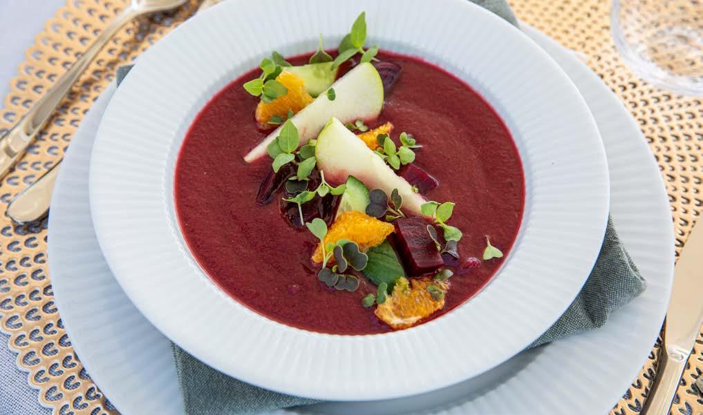
Inflation will have a huge influence on how we eat. Local produce will be chosen over far-end brands and countries. I think the family style of eating with large platters and different boards will be highlighted. Other trends I think will be a play on drinks -more specifically non-alcoholic ones-, sustainable eating and balanced eating. Most of these I don’t feel should be a trend, but eating healthy balanced meals with low wastage is a way of living.
Yacht chefs travel and discover new cuisines and culinary cultures. So I like asking them which country they recommend for a great culinary experience.
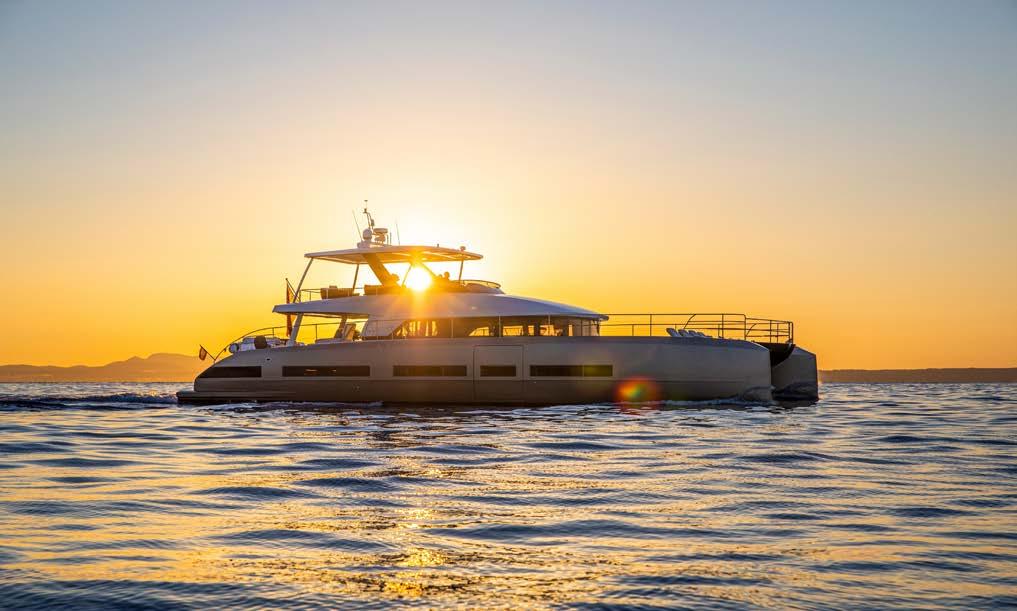
Well, in all honesty, I am still on a culinary journey myself. However, I recently did a trip to the States, and New Orleans was definitely on the ‘to-do’ list. Comfort food at its best, from the charbroiled oysters with crawfish, spinach & bacon to duck soup, and jambalaya made by the locals from recipes generations old in little gems of places with a life and history of their own. That is one of my number one rules when travelling and eating, eat where the locals eat if you want truly traditional cuisine.
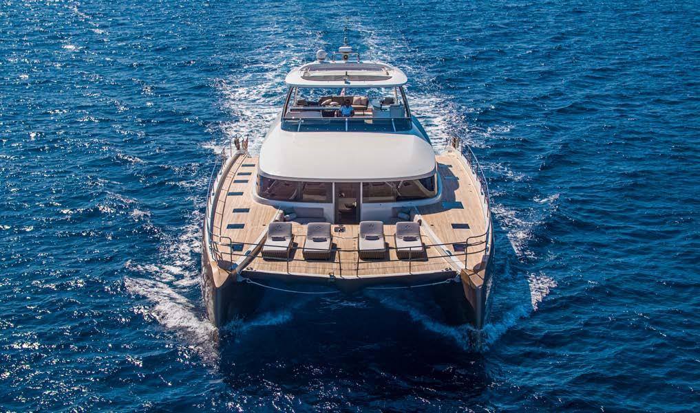
115 Chefs & Foodies
The Islander #307
How to make the perfect Tempura
written by Marc Fosh
Who doesn’t love a light, crisp tempura batter adding an irresistible crunch to delicious vegetables, fish and seafood?
Tempura is a very ancient cooking technique that apparently was born when Portuguese Jesuits met Japanese cooks a few centuries ago. On the face of it, it’s a very simple batter made up of only two ingredients: rice flour (preferably sifted) and sparkling water. The Japanese masters work them with chopsticks and only for a few seconds, the time that a lumpy consistency is formed: yes, you read correctly, unlike most batters, the tempura must not be smooth. Some will add a pinch of baking soda, a spoonful of sugar or an egg yolk to the two basic ingredients.
For me, the real secret for a super light, tempura is to make sure that everything is well chilled. The batter must be worked (a little) in a metal bowl placed in a larger bowl full of ice. A similar rule must also be
applied to the vegetables or fish you want to fry: it’s much better to keep them in the refrigerator until the moment before cooking. The very cold batter in contact with the boiling oil allows the food not to absorb too much oil, thus remaining light and frothy. This process is known as the thermal shock: The temperature of the oil should be between 170C and 180C (335F-350F) and you should make sure not to overcrowd the pan. Cook the tempura in small batches, and make sure the oil comes back up to temperature before adding another batch, because cooking it at too low a heat will lead to oily, soggy results. Most importantly, however: eat it hot and crisp, fresh from the pan. Try this amazing prawn tempura with a spicy dipping sauce - you will not regret it.
116 Chefs & Foodies
The Islander #307
photo by Marc Fosh
Crispy Prawn Tempura with spicy dipping sauce
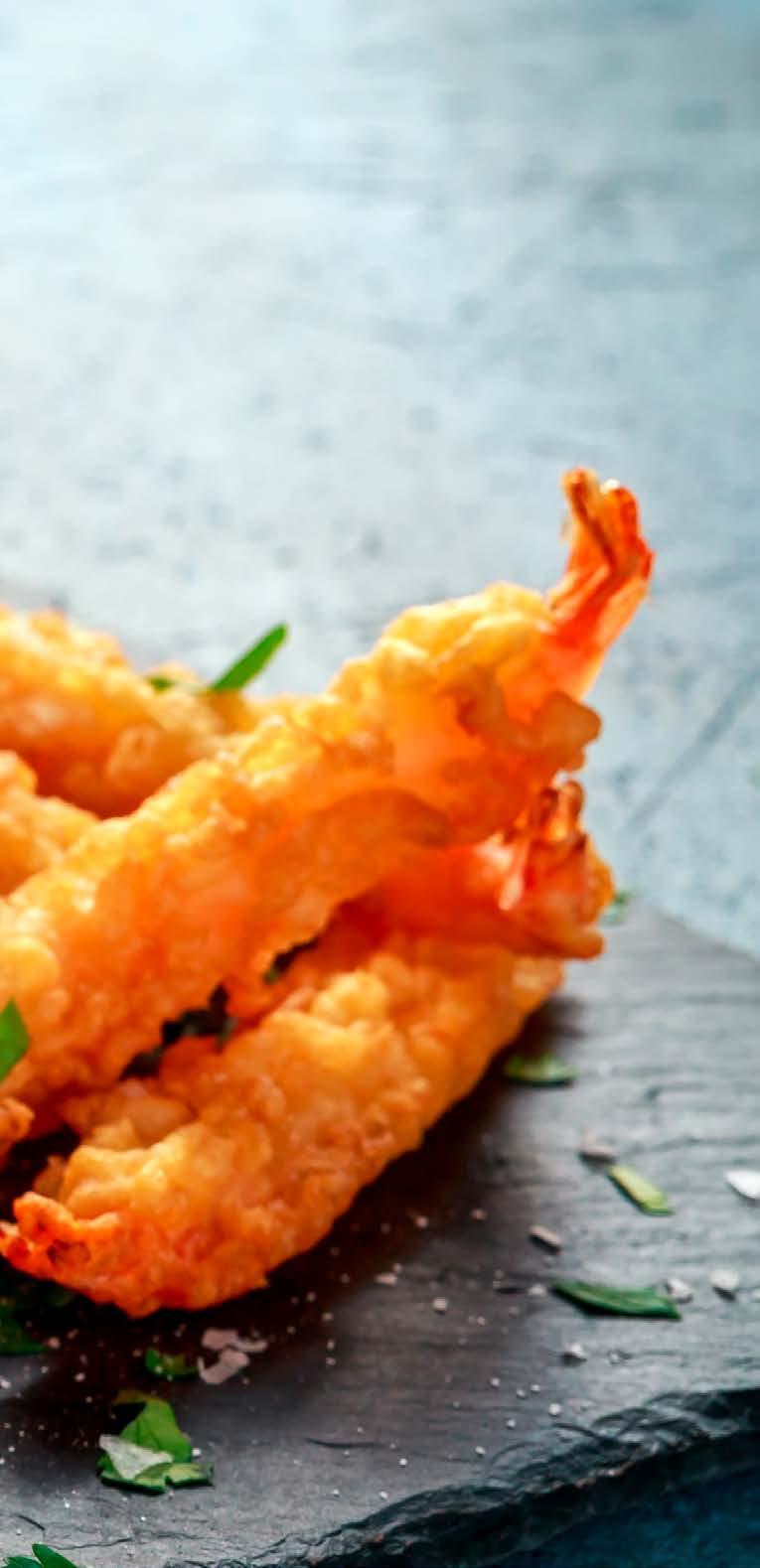
Ingredients: Serves 4
For the Tempura batter:
150g plain flour
150g cornflour
½ tsp fine salt
300ml chilled sparkling water
2 egg yolks
For the spicy dipping sauce:
1tbsp tomato ketchup
2 tbsp sweet chilli sauce
2 tbsp mirin
2-3 tbsp Japanese soy sauce
To fry:
12 large king prawns, peeled and cleaned, tails left on Lemon wedges to garnish
Mix all the ingredients for the dipping sauce and set aside. Half fill a large saucepan or deep fat fryer with sunflower oil and heat until a small cube of bread turns golden brown in 30 seconds. Place the flour, cornflour and salt into a bowl and mix together. Make a well in the middle with a wooden spoon, add the egg yolks and then gradually pour in the sparkling water and mix together using chop sticks and stir until the mixture is thin and a little lumpy. This will ensure the batter is perfectly light and crisp.
When the oil is hot, dust the prawns in a little flour, shake off the excess and then briefly dip into the batter and transfer straight to the hot oil. Fry 2 or 3 prawns at a time and fry for 1-2 minutes or until just golden brown and crisp. Remove with a slotted spoon and drain on kitchen paper. Serve immediately with spicy dipping sauce and lemon wedges to squeeze over.
Marc Fosh
Marc Fosh (born 14 August 1963) is a British chef who has lived and worked in Spain for over twenty years and is now based in Palma de Mallorca. His eponymous restaurant, Marc Fosh, gained a Michelin star in 2002.
www.marcfosh.com
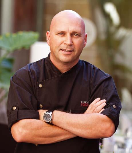
117 Chefs & Foodies
The Islander #307
The perfect Brunch Spot in the Heart of Palma
Santina by the Market: Your second home. A place where everybody is welcome.
Walking through Santa Catalina it is a feast for the senses. Think traditional pastel-painted facades of Spanish townhouses with miniature balconies decorated with colourful flowers paired with typical slated green window shutters.
As you make your way through the hustle and bustle of the morning coffee grabbers and people watchers, weaving the streets of small cafés and boutiques, your nose is treated to the fresh smells from the market: bread, oysters, olives, flowers and more. Just opposite the market is the quaint, turquoise, welcoming cosy corner spot of the original Santina: Santina by the Market.
Santa Catalina is where it all started for Santina, back in 2017 when the perfect location became available adjacent to Palma´s famous and oldest mecca of food: Mercat de Santa Catalina (1920).
As you know, Santina evolves around creative food concepts, feeling welcomed and enjoying life, so being in the heart of Santa Catalina and its vibrant vibe was the ultimate key to us creating Santina exactly the way we wanted.

Santina by the Market is now fully immersed in the cultural life of Santa Catalina, serving coffee to the locals every morning, drawing visitors to the area and fetching our fresh fruit and veg every morning from the market.
Santa Catalina is even where the name Santina originates from - an abbreviation of the two words Sant(a Catal)ina. Additionally to this, as one might have guessed, Santina ´by the Market´ reflects us being so close to Mercat de Santa Catalina. Paying true homage to our origin that we love so much.
Designed to feel like a cosy home-away-fromhome, with rustic furniture, fresh flowers and picturesque window seats, we hope that when you walk into Santina you will instantly feel welcomed and ready to enjoy one of our delicious brunch
plates. Trust us - you will also need to save room for some of our famous homemade cakes!
Now in our 7th year of serving delicious brunch plates with big smiles, we have many guests who visit us annually and some even weekly (you know who you are!). For this reason, we always keep the majority of our menu the same while adding small improvements, so our brunch lovers can return to their favourites year after year!
Like Santina, the Santa Catalina area is freespirited, adventurous and enjoys diversity.
Check out the menu here:


118 Chefs & Foodies PALMA_SANTINA
The Islander #307
Islander Life
Roaring 40s
Atlantic Row
Wine Industry
Mallorca (#2)
e3 Systems - Yachting
Gives Back - Cycling
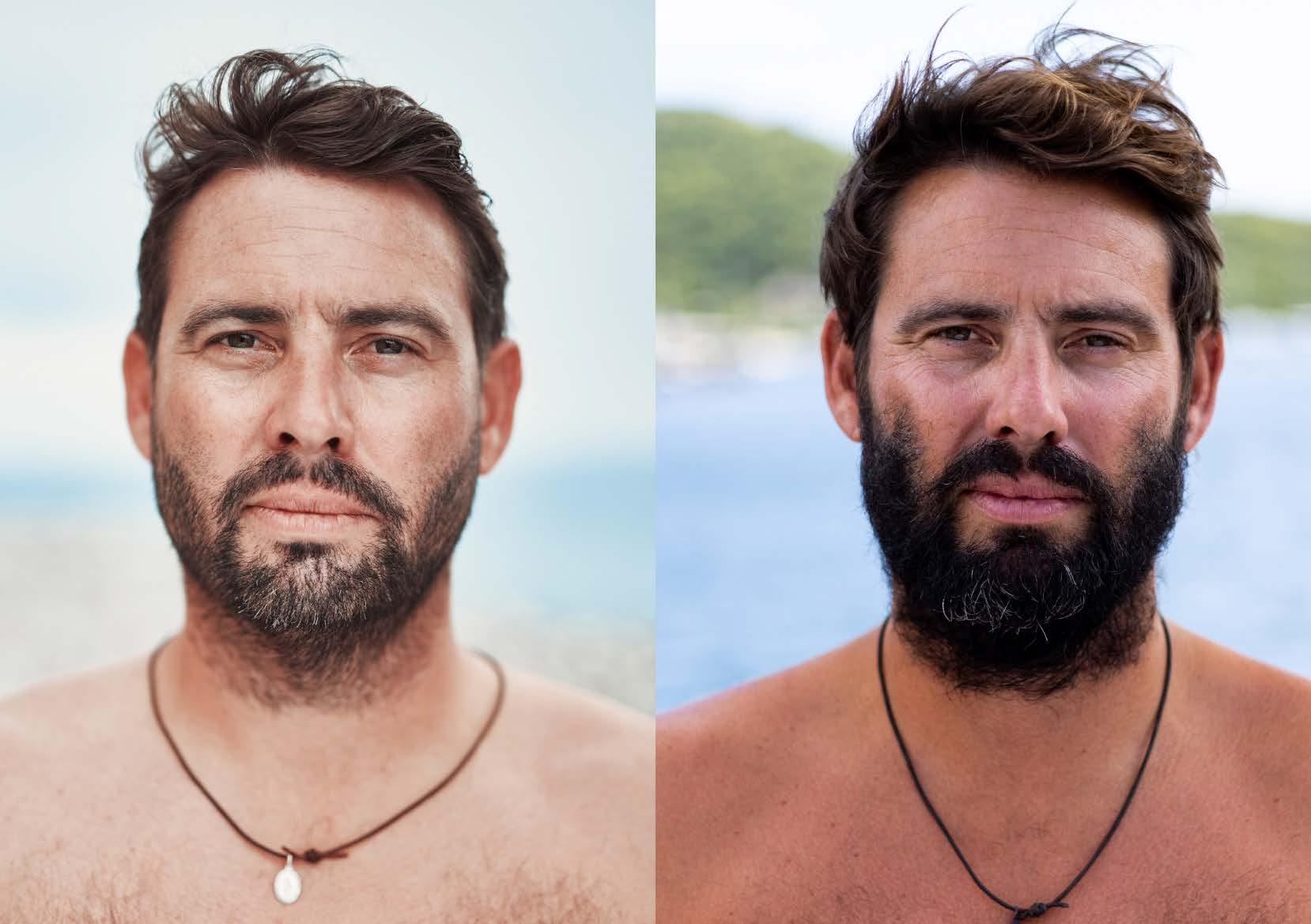
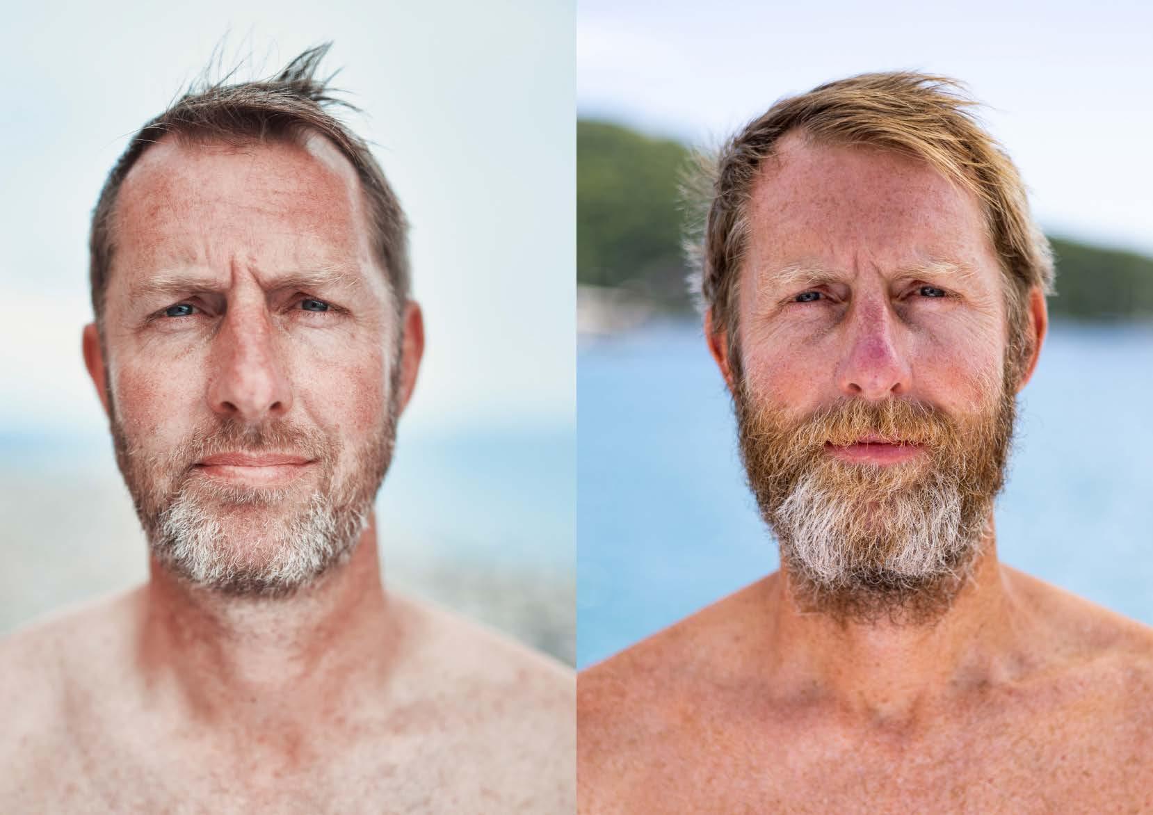
The Islander
Ian Dan
#307
You, Me and the Sea –Rowing Across the Atlantic
written by Lucie Gardiner, Ian Yates & Daniel Wise photos by Atlantic Campaigns
Two mates, one boat and 3000nm of open ocean. Dan Wise & Ian Yates, aka Team Roaring40s , took on the mighty Talisker Whisky Atlantic Challenge 2022 rowing unaided across the Atlantic. Huge support was received from sponsors, family, friends and followers throughout the 3-year journey to the start line in La Gomera, and throughout their crossing. The pairs’ resilience, determination and pure grit meant they completed the ultra-endurance event in 53 days, 16 hours, 30 minutes , and in the process raised tens of thousands of euros for their chosen charities.
La Gomera
Two weeks before race day, all teams assembled in the flee t tent for the first briefing. These briefs would happen every day until we left, and ranged in topics from safety, weather, logistics, media training and motivation. The Atlantic Campaigns team run a tight operation. Their goal is firstly to get every boat ready, into the water and off across the ocean, safely to Antigua. A high success rate is key to their mission, and they do everything in their power to help you achieve what you’ve set out to do.
That was abundantly clear in our case. Our boat arrived complete, but after taking delivery of the mandatory life raft, it became clear we’d installed our water maker in slightly the wrong place, preventing stowage of the life raft completely. The only solution was to remove the water maker and reinstall it elsewhere on the boat. Stress ensued, but with a “can do” attitude on their part and ours, we were able to rectify the situation and launch AXEL, albeit a week after every other boat first made its way to the pontoon.
The rest of the 2-week preparation period was a chance to cross off last-minute items, meet other teams, sample pizzas in La Gomera, and witness Harry Kane stick his second penalty over the crossbar.
On launch day, we all set off. One by one, the larger teams first, and at intervals of just a few minutes, the rest of the fleet followed.
Routing
We’d been informed by Atlantic Campaigns that there was some unusual activity in the north Atlantic, and for several days we’d all been watching on our own weather maps two low-pressure systems sitting above and to the west of the Canaries. These were disrupting the usual flow of wind and sea coming from the northeast, so our launch sent us directly south, with many boats finding themselves being pushed east towards Africa in those first days. Some teams opted to head in a more deliberate westerly direction; hard work, and with the risk they’d run into further problems should the isobars pack together and cause stronger winds.
We headed south with the intention of navigating underneath any such issues. A friend of ours in Antigua (“Bear”) helped with our routing, and provided a daily summary of what conditions we could expect and where we should aim for. This was a very useful resource to have, and one that all ocean rowers should arrange. However, not even Bear could have predicted the chaos brought on by Boxing Day’s weather system. More low-pressure areas created huge seas, 30ft swells, strong northerly winds, and a barrier running north to south in the direction we wanted to go.
We were forced south. Friends of ours on sailing yachts at the time, delivering to the Bahamas, scrambled to take shelter in the Cape Verde Islands. We retreated to our cabins and let our boat get taken for the ride; there was no rowing to be done in such conditions, and we
121 Islander Life
The Islander #307
Here Ian & Dan take us through the race from a shaky beginning to a triumphant end.
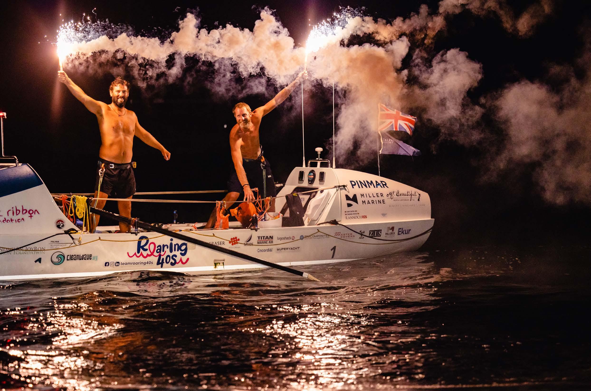
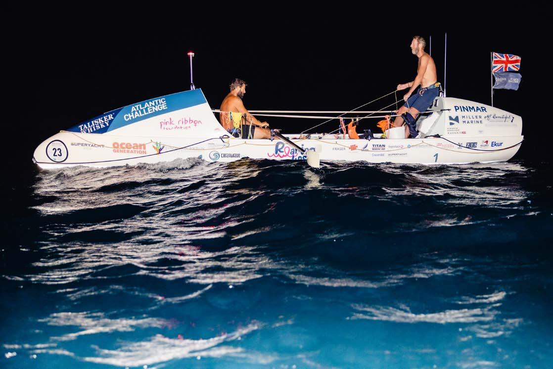
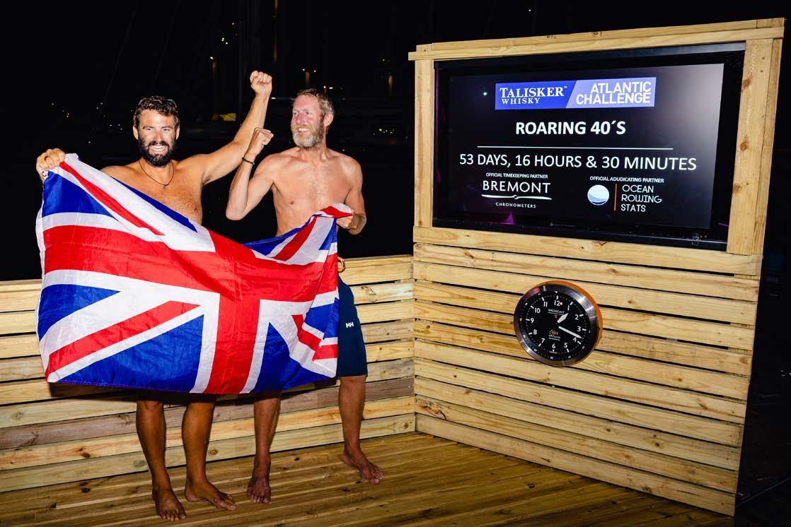
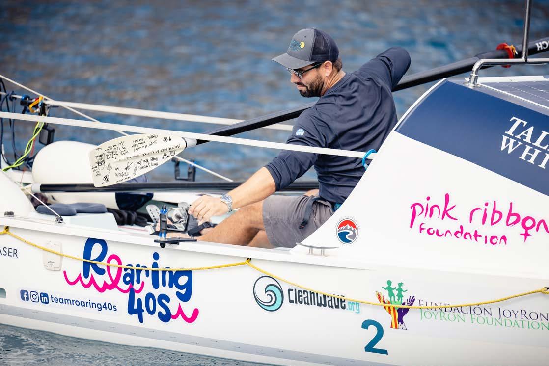
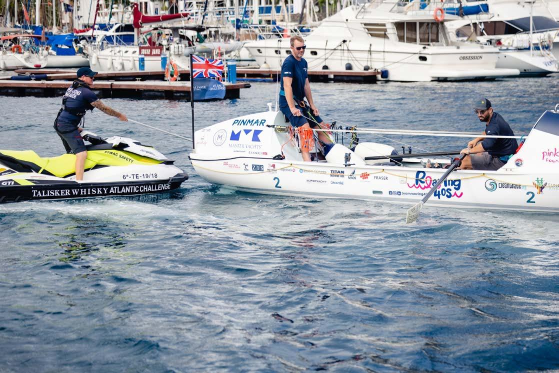
The Islander #307
couldn’t fight the direction in which we were heading. Four long days passed before we were able to kick start our rowing again, put an end to our southing, and head west.
Teams who had opted to head directly west from the Canaries managed to avoid this barrier to a large degree, and so the fleet was cloven in two. Sadly, we found ourselves on the wrong side of the system, and it wasn’t to be the last time Mother Nature tested our resolve.
Survival on board
Rowing across the Atlantic isn’t so much a test of whether you can move oars through water, as seeing how you tolerate conditions and find the mental fortitude to survive on a small boat for weeks on end.
Within the first couple of weeks, an incident that saw AXEL almost capsize on a large wave (snapping an oar and causing us to lose a jar of coffee, some shoes, and other items we hadn’t secured) gave us pause to think about survival. Small details like the boat’s centre of gravity, tying absolutely everything on, and moving about the vessel safely, became suddenly very important. I was guilty of not having taken the sea seriously enough, and from that humbling moment on, I treated the Atlantic with more respect. We decided then and there that, even though an R25 is more than capable of self-righting after capsizing, we would be staying the right way up at all times.
Survival is also about comfort. It was paramount that we kept the cabins tidy and dry (the latter isn’t actually possible, but we made an effort nonetheless) and that the deck remained clean. We both suffered from sores, abrasions, and rashes; all of which would be exacerbated by unsanitary conditions. Fatigue does its best to see you pay no attention to small chores, but the benefits are worth the effort.
Mind over matter
As I watched the two halves of our snapped oar float off into the distance, I felt a pang of weakness. It was the oar my two daughters had decorated for us; motivational quotes and entertaining characters to keep us going. I felt guilty we’d lost it, and suddenly very far from my family. Mental fortitude was one of my strengths, I’d previously thought, but apparently, I’d never tested myself quite like this before.
Later on in the race, as we were counting down the days to our arrival and enjoying the onset of favourable trade wind conditions, our resolve was once again tested. Lowpressure systems were forming where they typically shouldn’t, and we found ourselves being rapidly propelled south again. Two days of these conditions and we’d moved well beyond the southernmost shores of Antigua, struggling to maintain our latitude. We had no choice but to deploy the para-anchor to slow things down.
Where just days before we’d been thinking of rum punch and the warm embrace of our families, we now had to resign ourselves to rowing northwards, against the swell, and fighting our way slowly back to 17º N.
Our reward for achieving this was a period of a completely wind-free, glossy ocean, devoid of waves and current. We slogged for several days at just a single knot, heaving the boat with each oar stroke through what felt like treacle.
We both remember this last section of the race as being the hardest. It took every shred of mental will to accept our situation and stop thinking about an ETA. We’d get there when the Atlantic allowed us to.
Arrival
Almost two months of solitude and patience were flushed from our minds as we approached Antigua at a pace we’d only dreamed of the week before. Surfing 2m swell at breakneck speeds of up to 4 knots, we hurtled towards the looming Antiguan coast as darkness fell. Atlantic Campaigns awaited, and as we rounded the corner to English Harbour, a busy media boat rushed out to meet us along with a pilot dinghy to lead us in. We followed instructions, crossed the finish line, lit our flares, and yelled at those standing on the dock. Brains now fully disengaged, we let the whole experience wash over us; mooring at the dock, we wobbled onto dry land with cheers and fanfare filling the air. We were interviewed, we were weighed (having shed over 20kg between us), and we were fed.
123 Islander Life
The Islander #307
Success was ours, and it tasted as sweet as we’d imagined. 53 days and 16 hours after pushing off from the dock in La Gomera.
Wine Industry Mallorca #2 To Priorat with Pizazz!
written by Iván González Gaínza & Lara Corfield photos by Iván González Gaínza & Lara Corfield
In #1 last month, we shared with you the first two days of our wine weekend, which took us to some wonderful wineries in Penedés. This month we continue our ‘voyage of the vines’ to Priorat.
The following morning, we awoke to a frosty but bright morning. Our driver, Eduardo picked us up promptly, and we took a drive to the wine region of Priorat. This area is internationally acclaimed for its full-bodied red wines, incredible landscape and slate soils. After about an hour’s drive, we headed up a windy road towards the town of Gratallops, which is the wine capital of the region and home to our next winery visit; Trossos Del Priorat.
Integrated into the landscape, Trossos Del Priorat is a very low, modern building with a lovely welcoming feel. It is a fully functional winery and hotel with six bedrooms. It also has some of the most breathtaking views over the Ebro valley and vineyards. We were welcomed by Diana, who gave us a winery tour and enlightened us about this extraordinary wine-making area.
The winery itself is very spacious and slick. During our tour, Diana told us about all the wines they produce, including some whites, which are rare for the region. She showed us the temperature-controlled ageing room, complete with French oak barrels. Afterwards, we headed upstairs to the tasting room where the view on this particularly clear day was jaw-dropping.
Diana carefully explained each wine that we were given to taste (2 whites and 4 reds). We felt like the essence of the mountains and landscape was captured inside each bottle. Two of the red wines were particularly interesting to compare, as they were created by the same winemaker using the same grape. But the grapes were picked from different vineyards with different soil content; the contrast between the two was incredible. One was much lighter and smoother, with a touch more acidity, and the other was much bolder and more powerful.
After a plentiful and delicious three-course lunch at a nearby restaurant called Amics, Eduardo drove us deeper into the Priorat region, close to the Sierra del Montsant Natural Park. At the foothills of this impressive rock formation, we stopped at the Scala Dei winery.
The Carthusian Monastery of Scala Dei was founded in 1194 and the first wines were created in 1263 by the monks who acquired land in this area and became interested in viticulture. Today, the wine is made in the same buildings the monks used.
Throughout the wine tour, we were lucky enough to see all sorts of hidden treasures; huge fermentation vats; ancient tools; medieval buildings and an impressive barrel room.
The tour focused on many historical references, including the importance of the monks and how they introduced grape growing to the region. The winery is seeing a big investment in new materials, since employing a new winemaker. This will enable him to create wines that are more suited to his winemaking approach.
The soil in this particular area is different to the rest of the Priorat region. While the majority of the Priorat region benefits from the presence of slate, we learned that near the Sierra, a lot of clay exists, making the wines very different.
The Scala Dei wines were smoother and softer and tended to have a lot more finesse. This is in complete contrast to the majority of the wines we tasted in the morning. Not only was the visit to Scala Dei impressive because of its history and size, but we were also able to appreciate how different a specific wine region can be once you delve deeper. One regret is that we didn’t have time to visit the Scala Dei monastery after the
Islander Life 124
The Islander #307
Wine Industry Mallorca
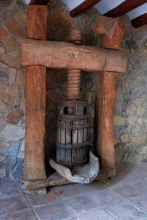
Bringing wine to you - quality wines from lesser-known bodegas and interesting winemakers.
www.wineindustry.es
Iván - 0034 657 88 32 48 Lara - 0034 638 60 19 43
tour, which is located a further 1.5 km away from the winery.
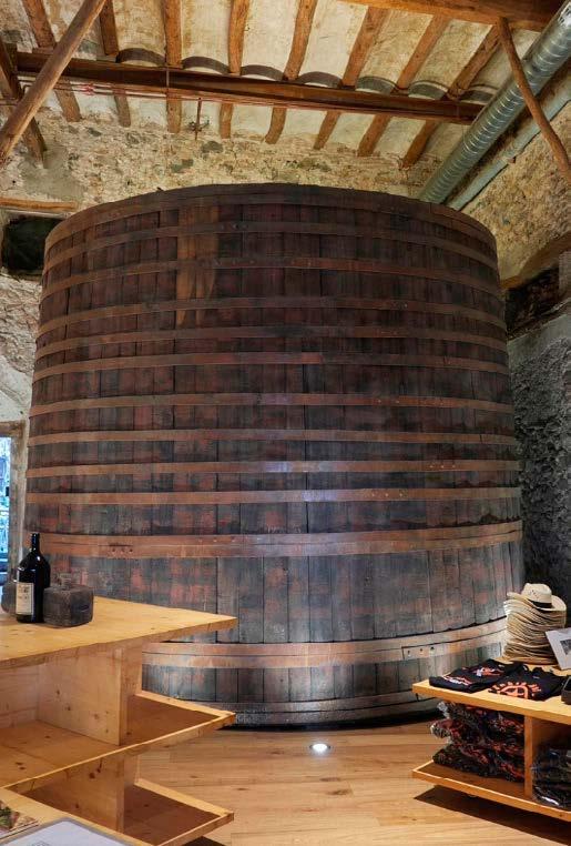
Driving to our hotel was interesting after a day of drinking and eating! Heading straight onto windy roads after all the wine and food is probably not the most advisable, but we all managed to make it unscathed to our cute hotel in the centre of Falset -a town located on the edge of the Priorat region. Our hotel was called Secrets and again, had just enough bedrooms to accommodate all of us. The hotel owner was kind enough to give us some restaurant tips, so after a quick stroll around town, we enjoyed a light tapas dinner at La Bacchanal (with more wine!) before heading back for a muchneeded rest. The following morning, breakfast was served in the basement of the hotel, and I have to say, the owners surpassed themselves. We have never seen such an amazing breakfast spread and it certainly ended our weekend on a high.
Our first wine weekend proved to be a great success, and after all the feedback we received (including some constructive points that we will make note of for next time), we will be planning future wine weekends. We will plan trips to different regions, with different wines, and other experiences. Our trips will focus on alternative ways to enjoy winery visits. Where we stay will be equally important as we don’t want to book characterless hotels with little personality to them.
If you would like to know more about our next wine trip, drop us an email at wineindustrymallorca@gmail.com and we will be happy to let you know all the details.

The wineries we visited: Trossos Del Priorat – https://www.trossosdelpriorat.com/ Cellers Scala Dei - https://cellersdescaladei.com/en

Where we stayed: Secrets Hotel Priorat – https://www.secretspriorat.com/en/
Where we ate: Restaurant Amics – https://www.restaurantamics.com/en/ La Bacchanal - https://www.labacchanal.com/en/la-bacchanal-2/
125 Islander Life
The Islander #307
e3 Systems / Yachting Gives Back Cycling
written by Roger Horner photo by Roger Horner
Having secured primary sponsorship again from our friends at Speedcast, we are happy to announce the fifth instalment of our extremely popular e3 Systems cycle challenges. Aimed at captains, engineers, crew and colleagues in the industry, these will take place on Friday 21st April.
These challenging rides of around 40km are fully funded by us and our supporting partners and are free of charge to enter - the caveat being that riders donate on the day. Every cent donated goes directly towards the work of the fine folk at Yachting Gives Back. So far, we have raised over €10,000 for YGB. This has provided food, computer equipment, and even an industrial oven for homeless centres in Mallorca – and we’ve had a great deal of fun doing it!
If you would like to come along, please register your interest at cycling@e3s.com to receive full details.
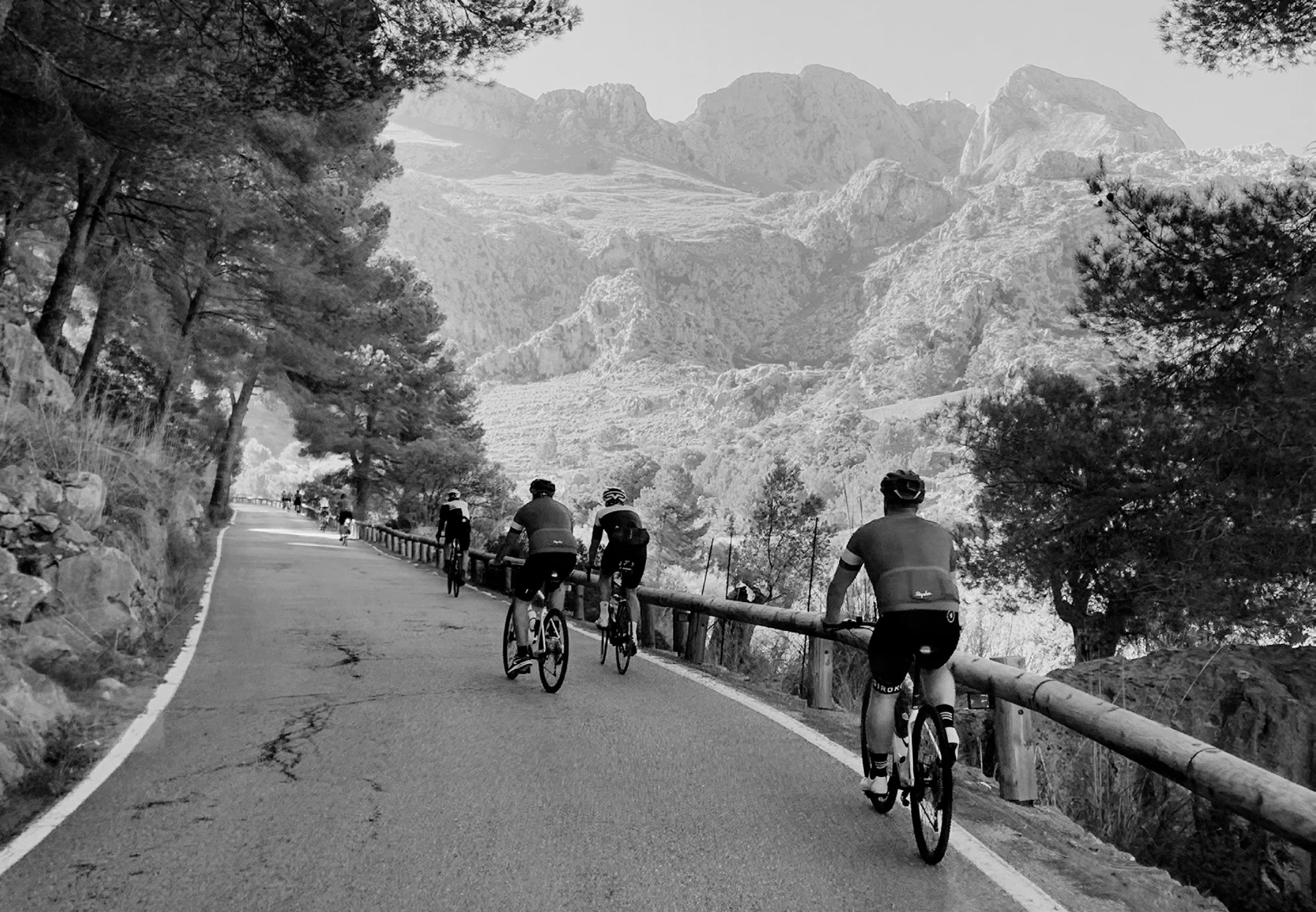
e3 Systems Cycling The Islander #307
Over 80 years of tradition
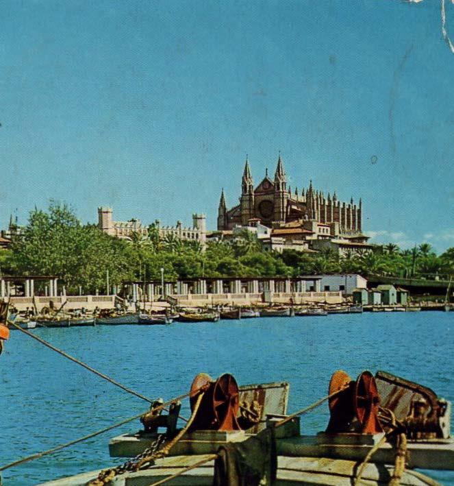
It’s always a good time to eat well The kitchen is open from 1pm to 10pm (Monday’s closed)
e G
BOOKING: 971 721 182 | info@caneduardo.com | caneduardo.com
Bandido 90
4,950,000 EUR



VAT Not Paid
Mallorca
Tri-deck design, fully stabilized, steel and aluminium construction and bulbous bow - the Bandido 90 is ideally suited to extended periods aboard and long-range cruising. Truly remarkable volume, garage for tender and toys and 4 crew. Accommodation for up to 9 guests in main deck master cabin and 3 cabins on the lower deck. Massive refit during 2018 - 20 including rebuild of engines and generators, new TRAC stabilizers, exterior repaint, interior transformation, electrics and Böning control system, CCTV, 2 x new gangways, new Williams 435 and more...Commercially registered and ready to charter if required. Viewing is highly recommended!
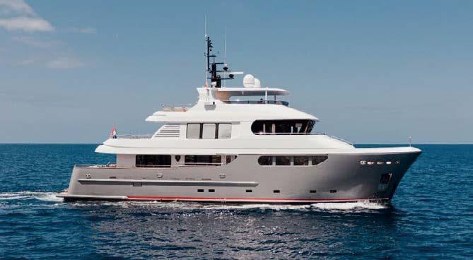
Beneteau Gran Turismo 46 2017

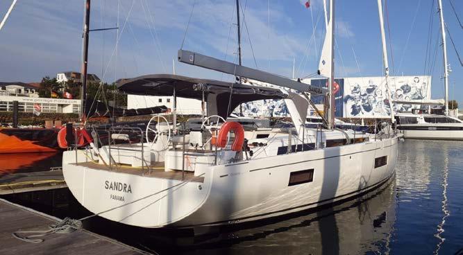
389.950 Pound

Sterling
VAT paid
Beneteau Gran Turismo 46 built 2017 to a 2018 model specification for sale. This two cabin, two head Beneteau Gran Turismo 46 is powered by twin Volvo 370hp engines with the joystick option for ease of close quarter handling. The Beneteau Gran Turismo 46 features the patented and innovative Air Step hull technology. This not only gives better performance and handling overall but also allows for improved fuel economy when compared to similar vessels. Fully equipped with a comprehensive suite of Simrad navigation electronics, bowthruster, 7.5 Kw generator, reverse cycle air conditioning, hi/lo hydraulic bathing platform plus more, this Gran Turismo 46 appears ready to go.
710,000 EUR Ex Tax
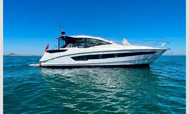
128
C/
Arrival Yachts S.L. T. +34 638 90 40 40 info@arrivalyachts.com www.arrivalyachts.com
Oceanis
54
Benito J. Feijoo 2, local 8, 07181, Puerto Portals, Mallorca, Spain
Beneteau
Yacht
2021
+34 971 67 63 92 mallorca@sunbirdyachts.eu www.sunbirdyachts.eu Puerto Portals, Local 10 - Mallorca Simon Crutchley: +34 656 949 244 Beneteau Brokerage Specialists 66 & 76 The Islander #307
Beneteau Oceanis Yacht 54. An opportunity to get a 2021. 125 hours on Yanmar 110Hp. 7.5Kva Gene. Aircon throughout. Full electronics. 3 cabin 3 head version with skipper cabin fwd. 710.000 E ex tax.
SANLORENZO SL96A

“WANDERLUST”
2022
€8,500,000 EUR
VAT Not Paid
SOUTHERN FRANCE
M/Y “WANDERLUST” was built in GRP by Sanlorenzo SpA and delivered in May 2022. She has enjoyed light use by an experienced owner for a single season and boasts a luxurious 5 cabin layout sleeping up to 11 guests in absolute comfort. Additional accommodation for up to 5 crew members is also distributed across 3 crew cabins. Built with a high level of optional extras, “WANDERLUST” is perfectly equipped for your cruising needs and includes a Zero Speed stabilisation system for additional comfort when at anchor or underway. This is a unique opportunity to purchase an elegant, “turn-key” example of the Sanlorenzo SL96 Asymmetric model without the wait. Registered under 24m.
455.000 Euro
(VAT paid) Spain

A fine example of a carefully used luxury sailing yacht that offers great comfort and ditto performance. Her model name really does her justice: she is grand and large. She has wide teak laid decks and an electric opening transom with access to a wide bathing platform and tender garage. Fitted out with; a main sail, furling genoa, a hardly used Code 0 and electric winches. Furthermore, an array of Raymarine instruments, big grill, a 110hp diesel engine, retractable bow and heck thruster, folding prop, generator, life raft, underwater lights, dinghy with outboard, air conditioning, heating, dishwasher, etc. Go to www.whitesyachts.com for more info. Van der
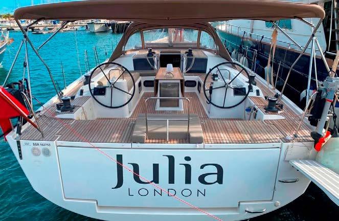
2,795,000 VAT Paid
This Van der Valk Beach Club 660 Flybridge provides an unrivalled amount of exterior and interior space by locating the engine room in the same area as the swimming platform. The 20.50-metre Beach Club 660 Flybridge is the innovative range of motoryachts from the well known Van der Valk shipyard and will pioneer the incredible degree of spaciousness on offer. This Van der Valk Beach Club 660 Flybridge is from 2019 and in mint condition. She is lying in Denia Spain. Contact us for details or make an appointment for a personal viewing that will exceed all your expectations.
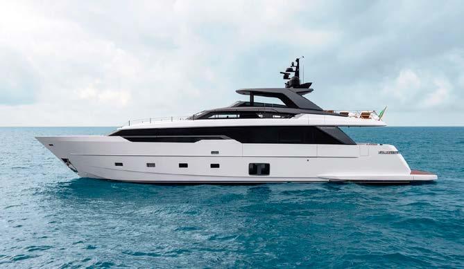
Fairline Squadron 65
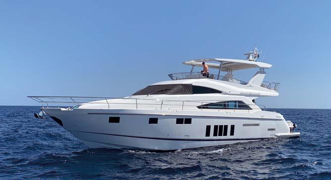
2017
1,495,00 GBP
Vat Paid
Lying in Mallorca
Full Mediterranean Specification - One Owner from new. Hard Top, Seakeeper Gyro, Passarelle, Hydraulic Platform, Water Maker, Yacht Controller, Four Cabins plus Crew Cabin. With an increase in size comes an increase in the ability to really impress. Sumptuous furnishings and hand-worked cabinetry are hallmarks of the Squadron range. Nowhere is it more elegantly expressed than in the long, wide single-level interior - a testament to the 65’s ingenious flat floor design. Having such uncomplicated, single floor levels is normally reserved for much larger yachts, but our designers have achieved just that on this 65-footer. An elegant, beautifully proportioned Squadron awaits you.
Jonathan Syrett is a yachting and brokerage consultant who can accompany you on the ownership journey - and beyond. You can rely on his expertise, integrity and dedication to help you make the right decisions when buying, using and enjoying or selling a yacht. Please call, email or visit his website to find out how.
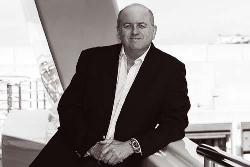

129
Dufour 560 Grand Large 2015
Valk Beachclub 660 Flybridge 2019
(+34) 971 402 911 palma@devalk.nl www.devalk.nl
C / Benito J Feijóo L o c al 7 , P ue rto Portal s C al v ia, 07 1 81 M allo rc a , S p ai n Te l. +3 4 971 6 76 845 + 34 6 0 9 6 0 9 5 2 0 i n fo@m ed - y a ch t s c o m | ww w.m ed - y a ch ts. c o m
De Valk Palma Port Cala Nova, Avda. Joan Miró, 327 07015 Palma de Mallorca
T. (+34) 971 40 44 66 M. (+34) 609 43 33 33 yachting@hamilton-marine.com www.hamilton-marine.com
T: +34 647 08 143 info@whitesyachts.com
www.whitesyachts.com
The Islander #307



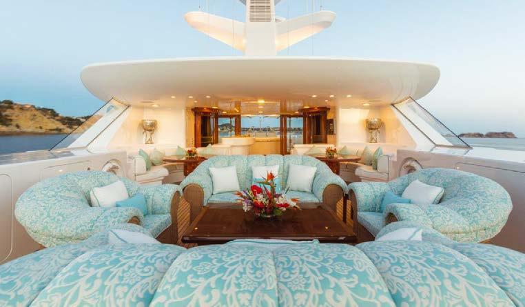

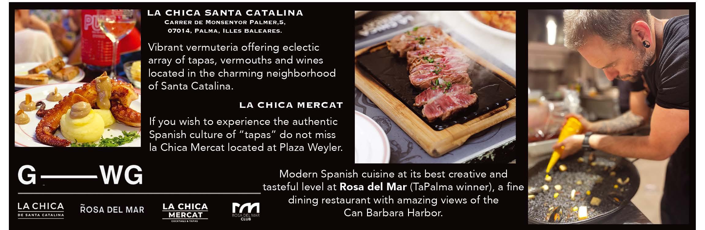
130 experience inspired interiors since 1996 covers, awnings, carpets, bedlinen, exterior & interior upholstery (+34) 971 692 919 | info@revival.es | www.revival.es The Islander #307