2 minute read
Realtime recording of groundwater to enhance knowledge

Developing a clearer understanding of groundwater behaviour on the Hekeao Hinds Plains is important when it comes to informing the decision making of the Mid Canterbury farming community. The introduction of another real-time monitor is a further step towards achieving that.
Mayfield Hinds Valetta (MHV) Water is a farmer-owned cooperative that delivers water for the purpose of irrigation, and manages the environmental compliance for over 58,000 hectares of farmland in Mid Canterbury, between the Ashburton and Rangitata rivers.
Advertisement
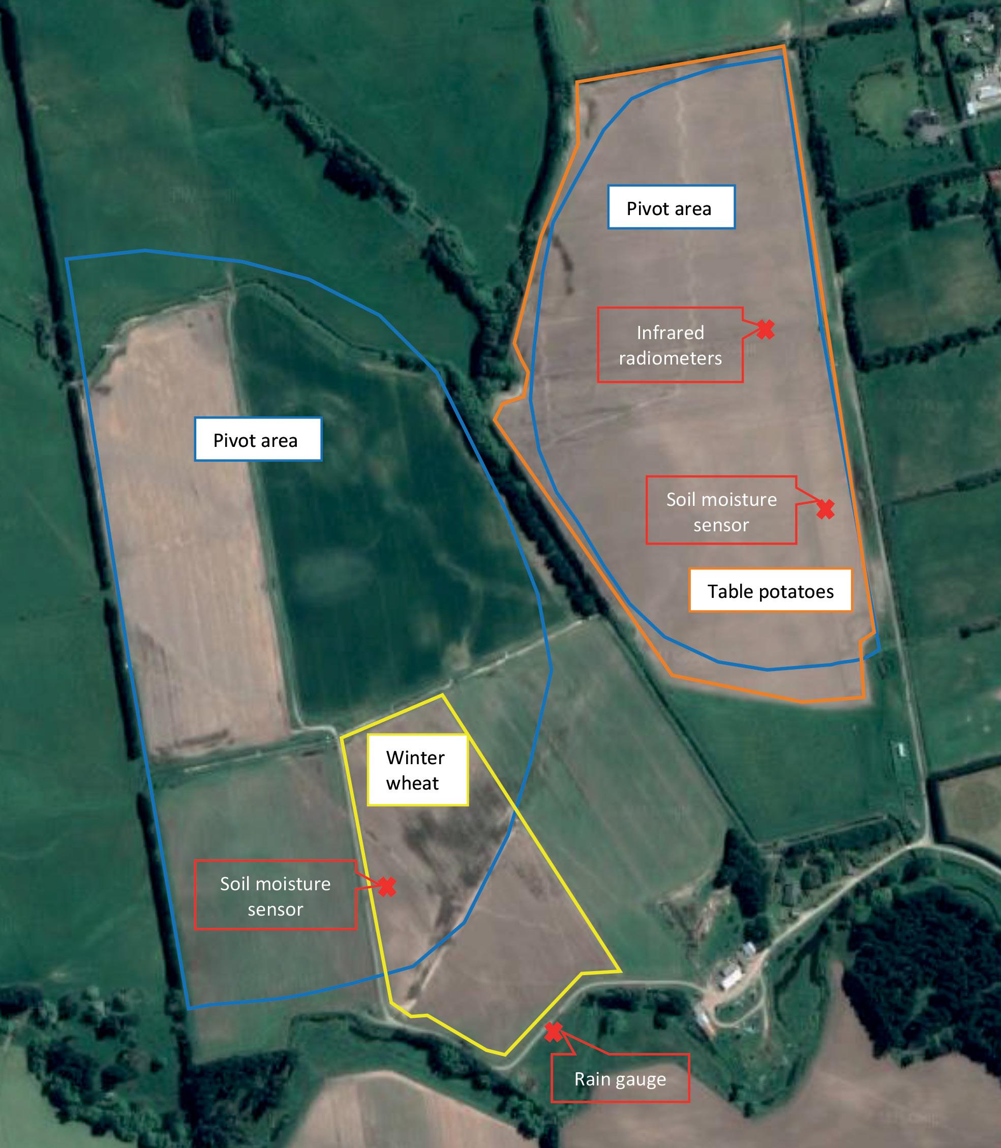
In late 2016 MHV commenced an independent groundwater monitoring program of 30 bores. Through collaboration with the Hekeao Hinds Water Enhancement Trust (HHWET), local farmers, Te Rūnanga o Arowhenua, and the Hinds Drains Working Party (HDWP), MHV is now spearheading the largest independent groundwater monitoring program in New Zealand. They are routinely monitoring the water quality of some 150 bores across the catchment on a quarterly basis, as well as approximately 70 surface water sites.
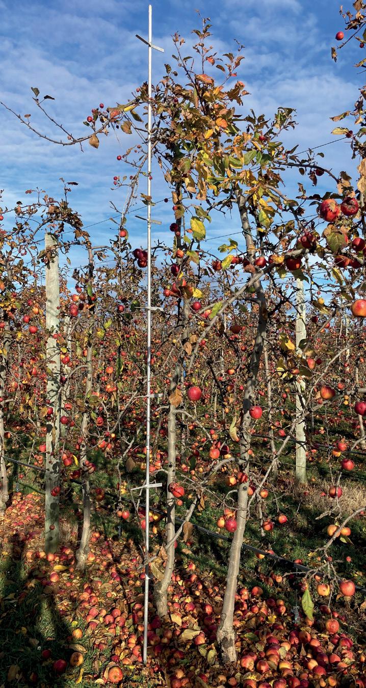
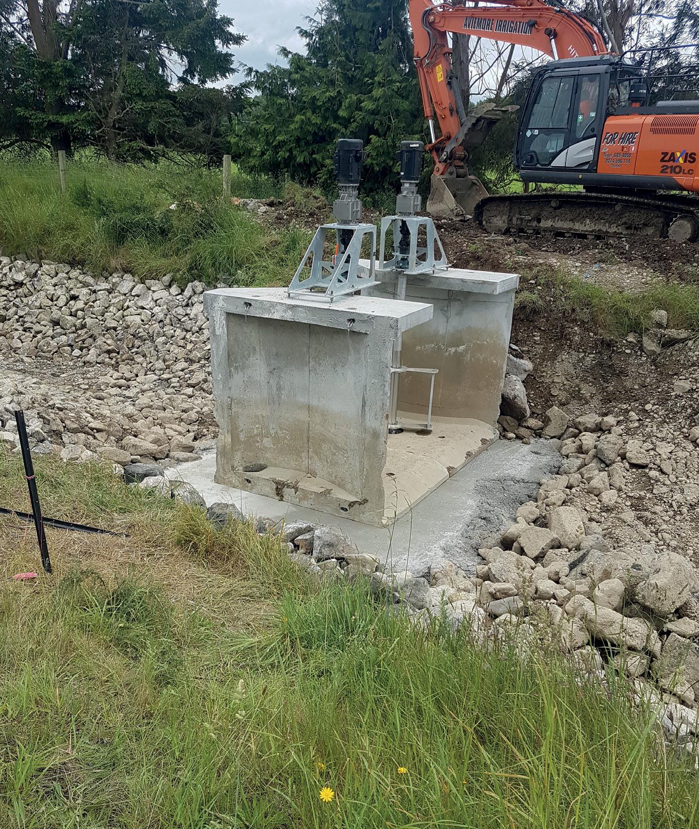
Working with Hydrometrics Ltd (a division of Lincoln Agritech Ltd), MHV recently installed a GW50 optical nitrate probe in a shallow, disused well on an MHV shareholder’s farm. It will automatically take nitrate readings daily and upload the data to the cloud. MHV Senior Hydrogeologist, Justin Legg, said existing sensors across the plains, on farms, and as part of HHWET, already provided valuable information. More information available from as many locations as possible further informs our knowledge.
He said when groundwater was tested annually the nuances and interplay between rainfall and land use were missed. MHV tests
quarterly, which is a marked improvement on annual testing, and having real-time sensors allows us to see the effects in real time. “The application of this type of technology is a game changer,” said Justin. “By having telemetered real-time data, MHV is able to monitor the results straight away, which will help increase our understanding of the local hydrology immensely.” The location was selected based on the results that MHV has collected over the last “By having telemetered 18 months, the location of existing sensors, real-time data, MHV and a review of the geology and soils in the is able to monitor area. The groundwater system is complex and is not a one-size-fits-all across the the results straight catchment. Having real-time sensors allows away, which will help us to understand the system intimately at that increase our underlocation, Justin said. The key to this project has been cooperation standing of the local and collaboration between different groups, hydrology immensely.” as noted by Justin. “It has been great to have this initiative supported by Hydrometrics and local farmers”. MHV are likely to further evolve their realtime monitoring and sharing of data across the existing sensors in the catchment.