ProductWatch
GroundTruth Blueprints
B
GeospocK LIaaS Product Showcase
G
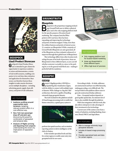
eoSpock’s LIaaS Product Showcase is intended to give clients the opportunity to experience analytics in action and demonstrates a variety of real-world scenarios, enabling companies to try real-time data evaluation and application for themselves. Businesses can therefore harness these insights to make smarter decisions across multiple disciplines – including advertising spend, supply chain efficiency, and point-of-sale utilization.
Key Features yy Audience profiling around supermarket store locations: targeting relevant product offers in a cost-effective way.
lueprints is the proprietary mapping technology GroundTruth uses to define a physical place and is the only mapping platform built for the specific purpose of location-based marketing. The company launched Blueprints in 2015 and since then has been expanding and improving the technology and points of interest mapped. Today, more than five million business and points of interest across 21 countries are Blueprinted. While a majority of GroundTruth’s Blueprints are auto-generated, all of the Blueprints are then evaluated, enhanced, or improved through their global team of Blueprinters. This technology differs from other location technology because of its levels of precision. Areas are Blueprinted in three different layers, so you can tell whether someone is actually in a store, in the parking lot, or in the general retail block area – making it perfectly built for marketers.
yy Only mapping platform built for location-based marketing. yy Areas are blueprinted in three different layers. yy Offers high-level of precision.
Geospoc GEOQI
G
eospoc’s flagship product, GEOQI is a geospatial big data visualization engine, with the ability to connect with multiple types of datasets. With a linkage to a big data ‘lake’ architecture, this tool is capable of handling extremely large geospatial datasets. The tools included in the platform include AI based image processing tools to enable fast feature extraction, a spatial query system to
yy New York taxi passenger drop-off and pick-ups: discovering the powerful combination of geospatial and temporal data. yy Analysis of flights arriving and departing from airports: understanding the smart city implications of population move.
Key Features
Geocoding in India – In India, addresses are unstructured and have very little hierarchy, making geocoding a very difficult task. The tool provided in this platform allows users to geocode unstructured Indian addresses Data – Geospatial analysis depends on good quality spatial data. An extensive list of data is also available through this platform With close integration with Esri tools, this also allows enterprises to take advantage of their investment in Esri technology. Current users of the system come from a variety of industries, including Banking, Insurance, Retail, FMCG and Agriculture.
Key Features
perform fast spatial searches, and an intuitive reporting system to derive intelligence at the click of a button. It also includes specialized tools and data for certain regions to enable easier entry into geospatial tools for new users:
40 | Geospatial World | Sept-Oct 2018 | www.geospatialworld.net
yy Able to manage extremely large geospatial datasets. yy Includes AI-based image processing tools. yy Provides specialized tools and data for certain regions.