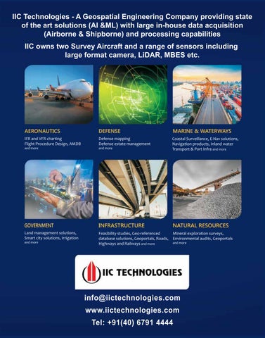
IIC Technologies - A Geospatial Engineering Company providing state of the art solutions (AI &ML) with large in-house data acquisition (Airborne & Shipborne) and processing capabilities IIC owns two Survey Aircraft and a range of sensors including large format camera, LiDAR, MBES etc.
IFR and VFR charting Flight Procedure Design, AMDB
Defense mapping Defense estate management
Coastal Surveillance, E-Nav solutions, Navigation products, Inland water Transport & Port Infra and more
Land management solutions, Smart city solutions, Irrigation
Feasibility studies, Geo-referenced database solutions, Geoportals, Roads, Highways and Railways and more
Mineral exploration surveys, Environmental audits, Geoportals
and more
and more
and more
and more
info@iictechnologies.com www.iictechnologies.com Tel: +91(40) 6791 4444