1 minute read
SURVEYING SERVICES

from BBI Corporate Capabilities
by DCCM

Employing pioneering field equipment and technology
Baseline | DCCM provides surveying and mapping expertise to a growing list of clients in both public and private work sectors.
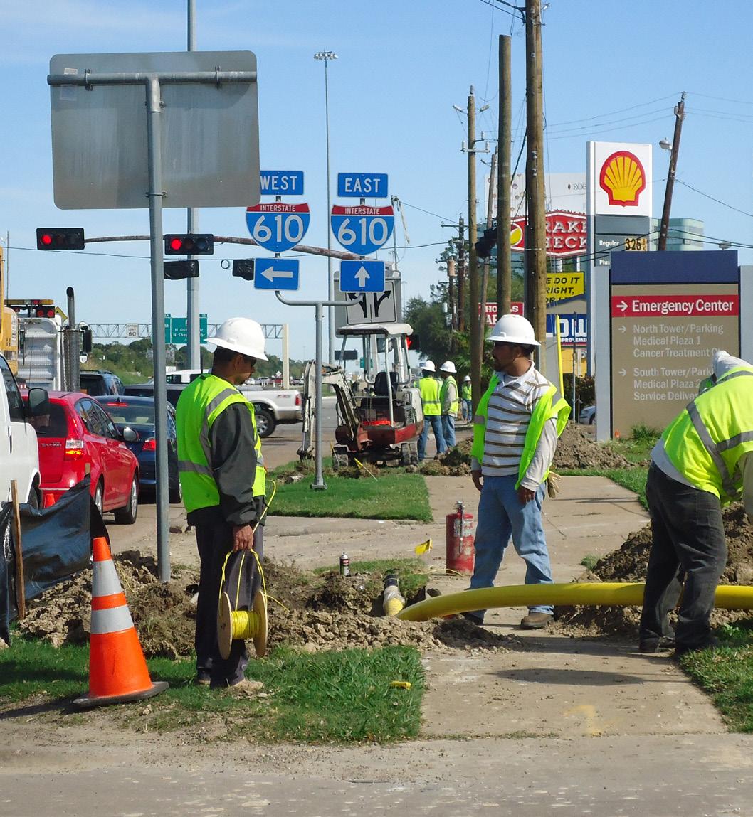
Our surveyors and technicians employ state-of-the-art field equipment and technology for the collection and interpretation of advanced surveys and maps. Our experience includes a broad range of architectural and engineering design projects including land development, facilities, commercial, residential, transportation, highway, bridge, utility, and drainage for clients in both the public and private sectors. Our survey team can also provide mapping services for projects requiring right-of-way acquisition, hazardous waste sites, and petrochemical installations for the oil and gas industry. We perform control surveys and staking services for construction projects and provide photogrammetric and GPS support for large-area planning and design.
It is these services, coupled with first-rate customer service, efficient time management, and proven reliability, which make our team and our clients a success.

Shine | DCCM is a Historically Underutilized Business (HUB)and Women-Owned Small Business (WOSB)-certified firm specializing in surveying water and land boundaries, including surveys connected with permitting structures across state-owned lands such as riverbeds and tidally influenced areas. We have performed several hundred miles of gradient boundary on most of Texas’ major rivers and streams and approximately 200 miles of coastal boundaries. Overall, we have surveyed nearly 2,000,000 acres in more than 100 counties throughout Texas.
Shine | DCCM is often hired by other survey companies or attorneys when boundary issues arise that require a more thorough analysis of ancient to current records. We have experience in diverse areas such as oil field operations, wind farms, highway projects, and municipal boundaries.
Shine | DCCM understands the need for rapid workflow, and we/they strive to be responsive to the needs of clients while maintaining the highest standards in boundary determinations.

Surveying Services
- Land Boundary Surveying

- Topographic Surveying
- Route Surveying
- Right-of-Way Mapping
- Horizontal and Vertical Control Surveys
- Control for Aerial Mapping

- ALTA/NSPS Land Title Surveys
- Construction Surveying
- Platting
- Locative Surveys
- Surveys for Political Boundaries
- Abstracting
- Bathymetric Surveys
- Investigative Surveys
- Terrestrial Laser Scanning
- Coastal Boundaries
- State Land Surveying

- Private Tract Boundaries
- Gradient Boundaries
- Geographic Information Systems
- Unmanned Aerial Systems
TxDOT Precertifications (Baseline | DCCM)
- 15.1.1 - Right-of-way Surveys
- 15.2.1 - Design Survey
- 15.2.2 - Construction Survey
- 15.3.2 - Terrestrial Photogrammetry
- 15.3.3 - Terrestrial LiDAR
- 15.3.4 - Mobile LiDAR
- 15.3.5 - Horizontal and Vertical Control
- 15.5.1 - State Land Surveying
TxDOT Precertifications (Shine | DCCM)
- 15.1.1 - Right-of-way Surveys
- 15.2.1 - Design Survey
- 15.2.2 - Construction Survey
- 15.3.5 - Horizontal and Vertical Control
- 15.5.1 - State Land Surveying