APPENDICES
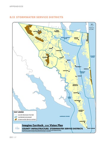
B.13 STORMWATER SERVICE DISTRICTS
V
I
R
Z G
1
I
N
I
Kilometers
A
1 Miles
!
GIBBS ! WOODS
MOYOCK
NORTH LANDING RIVER
1
KNOTTS ISLAND
!
! SLIGO
(
H CURRITUCK
\ ! SHAWBORO
MAPLE
'ZJ
! -y>
ATLANTIC OCEAN
BARCO
\~,, !
~✓
zr !
\' ~
COINJOCK
WATERLILY
! COROLLA
!
CURRITUCK SOUND
__,_
! AYDLETT ;(
.,,,,--
~
?;:.
-
--
~
POPLAR BRANCH- ! ,::;.. ~
//
',
9~,.,.
GRANDY
__,
NORTH RIVER
!
~;r
'-,,_,--
JARVISBURG
!
,-r
_,,-'
)
,~ r
1~
~
POWELLS !POINT
MAP LEGEND
,/\
MAJOR DRAINAGE FEATURE WATERSHED BOUNDARY
~
__J
ALBEMARLE SOUND
STORMWATER SERVICE DISTRICT
\,,,
HARBINGER
!
Imagine Currituck: 2040 Vision Plan
)' ~
COUNTY INFRASTRUCTURE: STORMWATER SERVICE DISTRICTS
The Preparation of this map was financed in part through a grant provided by the North Carolina Coastal Management Program, through the funds provided by the North Carolina Coastal Management Act of 1972, as amended, which is administered by the Office of Ocean and Coastal Resource Management, National Oceanic and Atmospheric Administration.
XVI //
!
,_A
POINT HARBOR