A chart of the East Indies from one of the rarest folio sea atlases of the seventeenth century
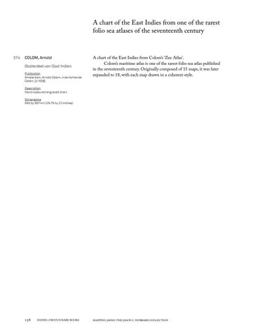
374 COLOM, Arnold Oosterdeel van Oost Indien. Publication Amsterdam, Arnold Colom, inde lichtende Colom, [c1658].
A chart of the East Indies from Colom’s ‘Zee Atlas’. Colom’s maritime atlas is one of the rarest folio sea atlas published in the seventeenth century. Originally composed of 15 maps, it was later expanded to 18, with each map drawn in a coherent style.
Description Hand-coloured engraved chart. Dimensions 653 by 557mm (25.75 by 22 inches).
136
DANIEL CROUCH RARE BOOKS
MAPPING JAPAN: THE JASON C. HUBBARD COLLECTION