1 minute read
THE INTERSECTION OF WALKABILITY AND ENVIRONMENTAL INJUSTICE IN BUFFALO, NY.

by ctchin2
Institution: SUNY University at Buffalo
Instructor: Dr. Jiyoung Park
Advertisement
Semester: Spring 2021
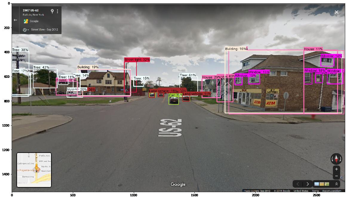
This course expands upon GIS skills and mapmaking theory, where the final project was to apply the acquired knowledge to a topic in urban planning discourse. The topic chosen was walkability in under-served communities, and how often that one may find a very walkable neighborhood in Buffalo.
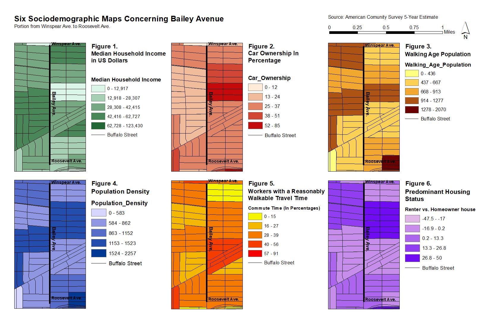
Statistical analysis was accomplished using the Python programming language. GIS revealed two neighborhoods at the walk score and race extrema: Allentown and Grider. Allentown has a highest household income and population of Whites, while Grider is the exact opposite, with the highest population of African Americans. GIS and statistical analysis suggested that more commercial areas tend to increase the walkability of a neighborhood. Low-income and areas with a high population of African-Americans tend to be less walkable.