2 minute read
4.1 - Flyover Country

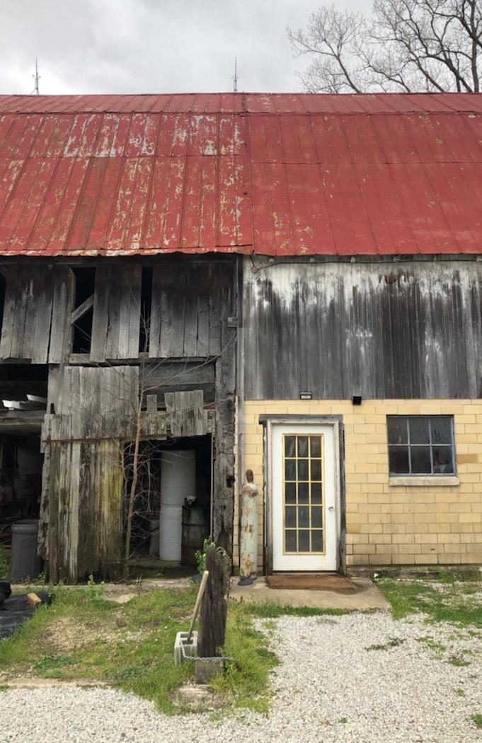
from Residual Farmland
by clareknecht
Looking from the window seat on a long plane flight, you might have noticed that large swaths of the United States are divided into a latticework of farms, towns and forests. The cells of that grid, each one mile to a side, are the visible result of a land planning system first proposed by Thomas Jefferson more than two centuries ago. It is briefly defined using Wikipedia’s entry for the Land Ordinance of 1785. The Public Land Survey System (PLSS) is the surveying method developed and used in the United States to plat, or divide, real property for sale and settling. Also known as the Rectangular Survey System, it was created by the Land Ordinance of 1785 to survey land ceded to the United States by the Treaty of Paris in 1783, following the end of the American Revolution. Beginning with the Seven Ranges, in present-day Ohio, the PLSS has been used as the primary survey method in the United States. After the Revolutionary War and as the United States expanded westward, the country needed a systematic way to divide its newly acquired lands. The original colonies were surveyed using the British system of “metes and bounds,” with parcels delineated using local geography and cataloged with riveting language:
“Beginning at corner No. 1, a hemlock post, 4 in. square, 24 in. above ground, located on the Takotna Highway about 1/4 mile southeasterly from its intersection with the left bank of Kuskokwim River…” That approach doesn’t scale very well, and Jefferson, an ambitious politician who would become president about two decades later, was made chairman of a committee to find an alternative. He proposed to slice the young United States into gridded plots of land that would support his ideal country of “yeoman farmers” who would form the backbone of American democracy.
Advertisement
[Image 19] Images from @the.jerfferson.grid initiated by Shabtai Pinchevsky
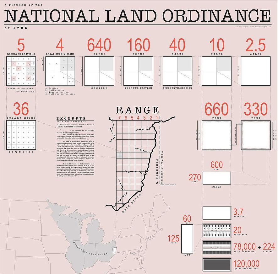
[Image 20] Diagram showing how the method of subdivision can be applied from the scale of the country down to the scale of a single lot. (Wiki)
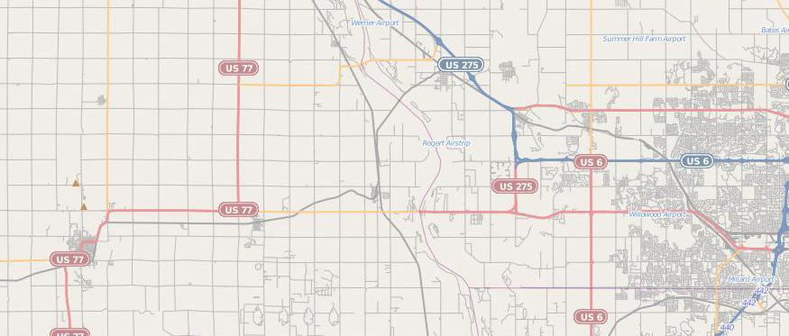
[Image 21] Example of road system in a PLSS area; Nebraska(Wiki)
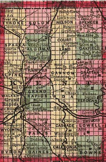
[Image 22] Kent County, Michigan in 1885 as a PLSS example, showing 24 named townships and sectional subdivisions. (Wiki)