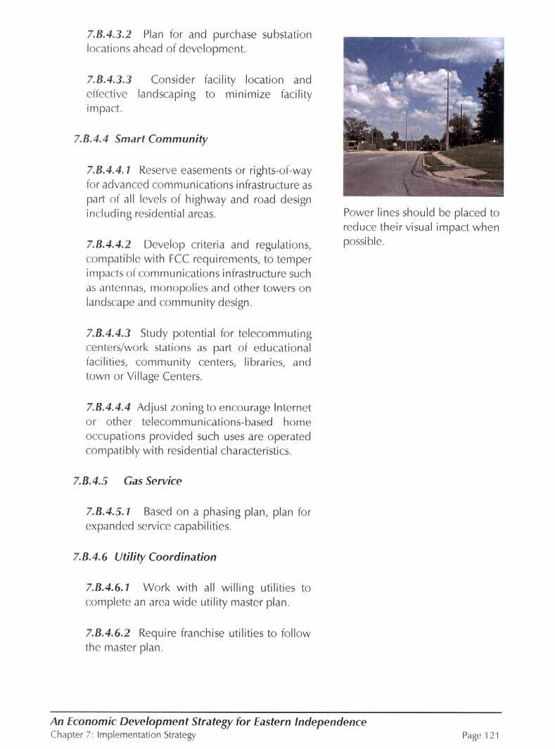
regulations that specifically address the use of properties adjacent to streams and flood plains.
4.E.2.2 Enhance and expand the Little Blue Trace.
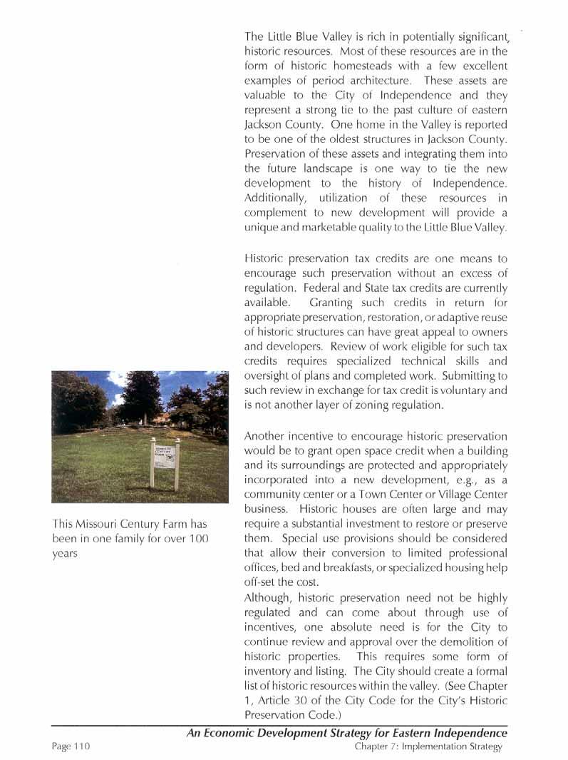
4.E.3 Cultural and Historic Resources
4.E.3.1 Develop a cultural legacy to be enjoyed by current and future generations.
4.E.3.2 Preserve special archeological, historical and geological features.
4.E.3.3 Include historic and cultural resources review in the planning development process.
4.F Economic Development
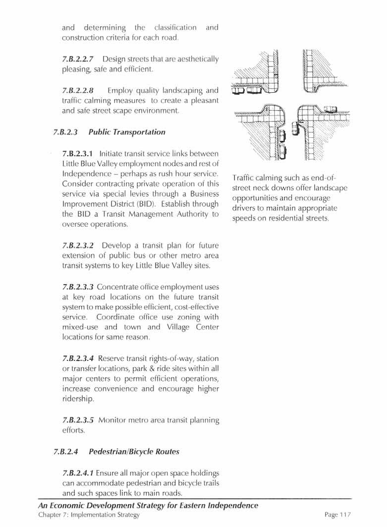
The future of the Little Blue Valley and all of Independence is inextricably tied to the City’s success in developing its economy. Although the city is unable to control overall regional market demand, it can capture its fair share of regional economic opportunities. The following goals are those that the city of Independence in collaboration with its residents, property owners, and the business community must achieve in order to improve the future prospects of its local economy.
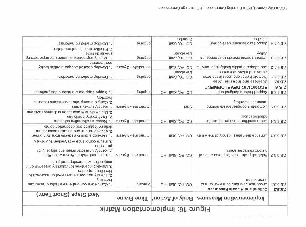
4.F.1 Business and Industrial Base
4.F.1.1 Make the Little Blue Valley a premier location within the region to live, work, play, gather and worship.
4.F.1.2 Attract high-quality new businesses and high technology industries along with commercial activity to broaden the city’s property and sales tax base.
4.F.1.3 Support collaboration between business and schools to develop training and mentoring programs

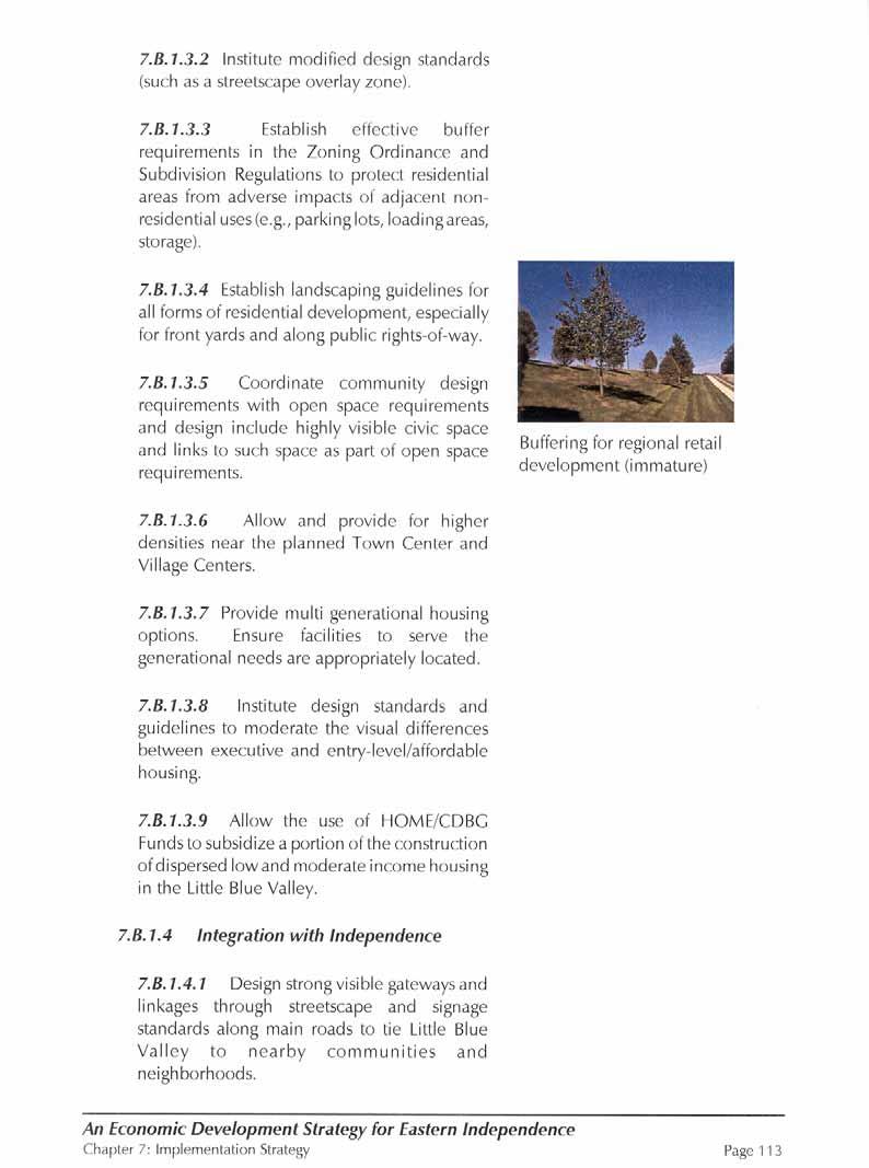
4.F.1.4 Identify and encourage the incorporation of distinctive retail uses in the Little Blue Valley in general, and the Town Center development in particular, to ensure that a broader base of retail concepts are available to shoppers and that the retail base located in the 39th Street corridor is not replicated nor jeopardized.
4.F.1.5 Identify and promote the appropriate residential, office and other business uses for the Little Blue Valley and more specifically, the Town Center development located near the intersection of Truman Road and Little Blue Parkway.
4.F.1.6 Determine the trade area and market potential for residential, retail, office, and other commercial development uses.
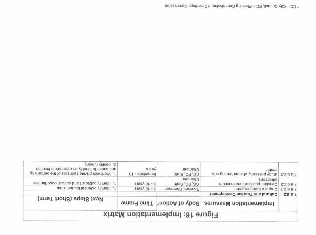
4. F.2 Tourism
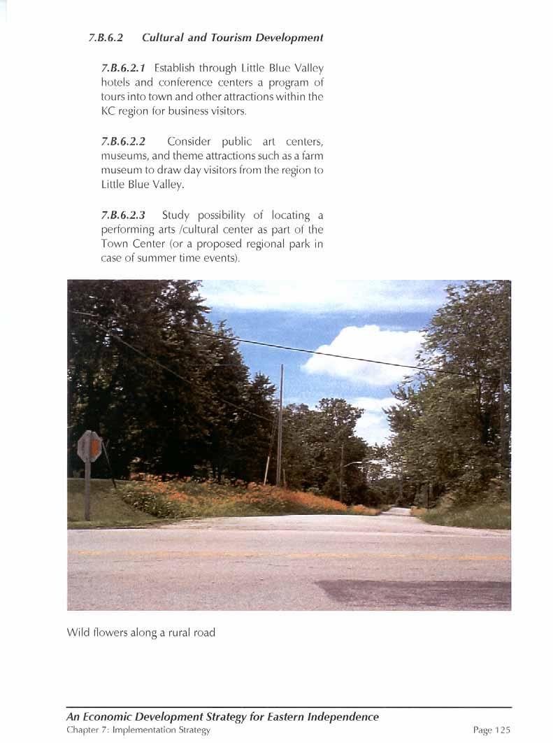
Consider appropriate tourist activities and venues. The Little Blue Valley offers several potential tourist attractions

• Civil War Battlefields and historic markers
• Historic homes
• Native American archeological sites


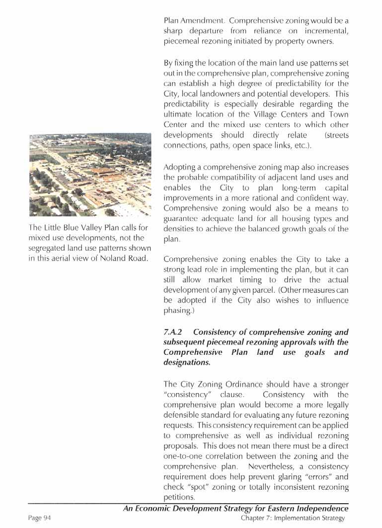
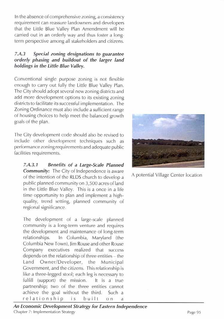
5.A.2.1 Town Center: The alternatives presented here establish a strong physical community identity by focusing Little Blue Valley development on a well-defined Town Center. The Town Center will be the key commercial, residential and civic focus for eastern Independence and is intended to accommodate mixed-use development of detailed, high quality architecture, community oriented open space and pedestrian friendly streets. The Town Center concept combines a variety of places to work, live, shop, play, gather and worship; all linked by a convenient, pedestrian-oriented transportation network. Because of its importance as a civic focal point, the initial development of this center should include defined public service facilities and gathering places (e.g. post office, community center, library, public plaza, park).
The design of the Town Center will emphasize pedestrian needs in addition to accommodating automobiles. Design elements such as narrow streets, shallow building setbacks, pedestrian-scale architectural features, and parking located between or behind buildings are some of the site planning features that will create a pleasing and urban environment.
5.A.2.2 Residential Villages: Under each alternative, the more intensely developed portions of the study area are conceived as a series of residential villages. These villages include a mixture of housing types (i.e., single-family homes, apartments, condominium, assisted living facilities) at a variety of price ranges to serve the needs of a diverse mix of families, young adults, empty nesters, and seniors. This housing will include both ownership and rental units.

The villages will also include local street networks that are well connected and accommodate pedestrian and bicycle travel as well as the automobile. These village qualities, especially the pedestrian-oriented physical planning and architectural design, will distinguish residential development in the Little Blue Valley from most other suburban communities in the Kansas City area.


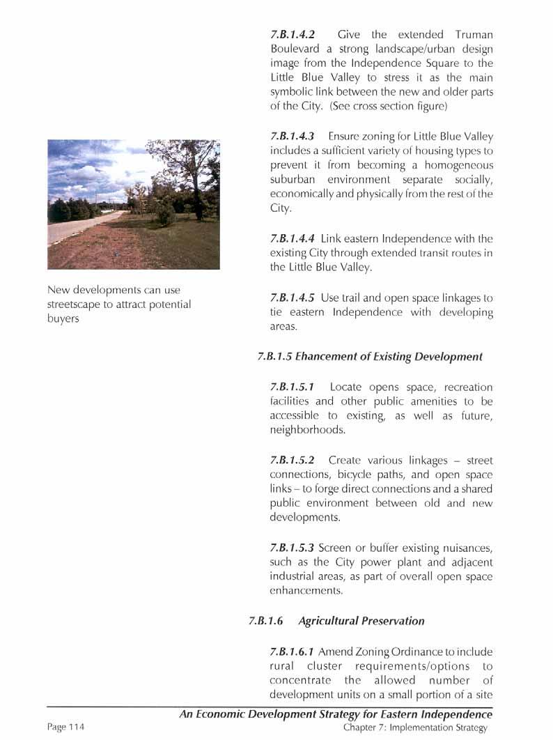
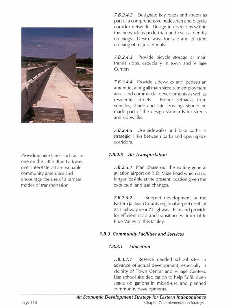
6.A.2 Truman Boulevard: Truman Boulevard (Truman Road) is the main east/west link connecting the development in the Little Blue Valley with the existing City and the Historic Square. Upgrading Truman Road to a boulevard would incorporate wide sidewalks and alternate forms of transportation such as bicycle trails, future transit and landscaping.
6.A.3 Other Roads: The secondary roadway network generally follows the alignments recommended in Concept Alternative 3.
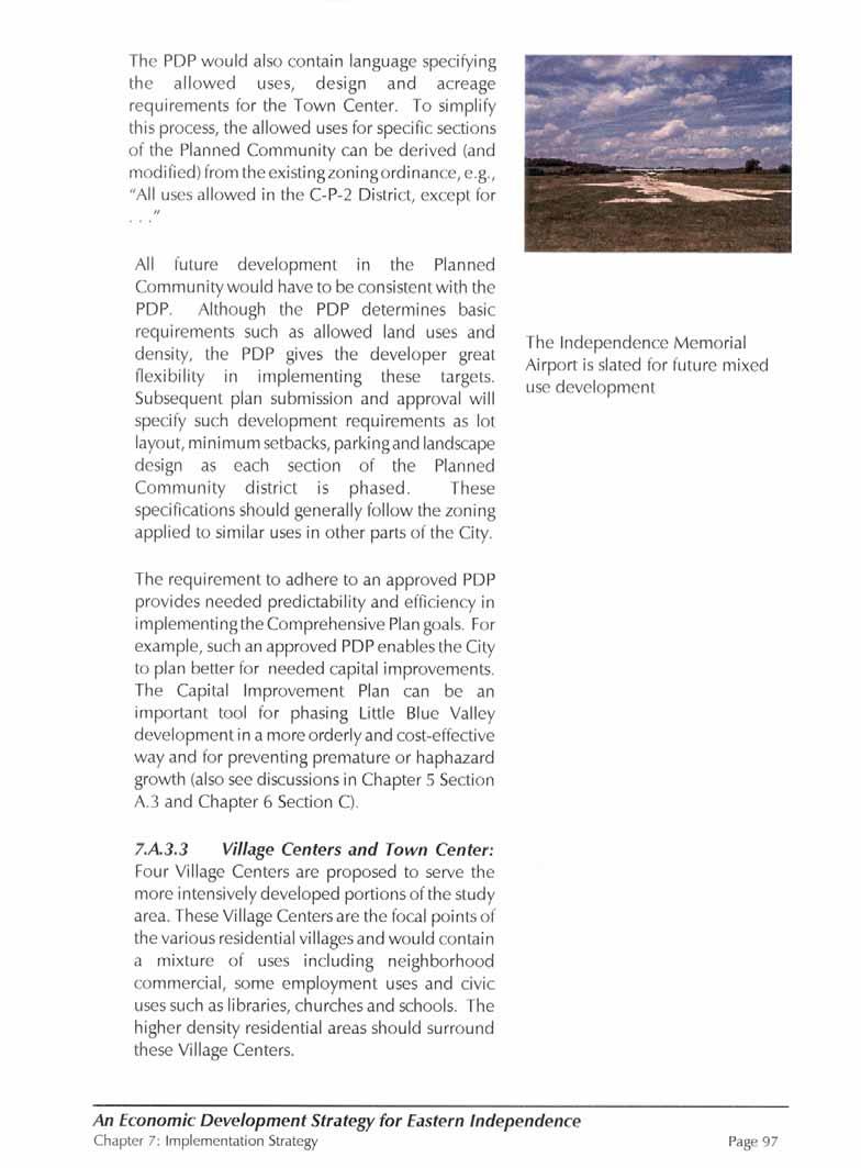
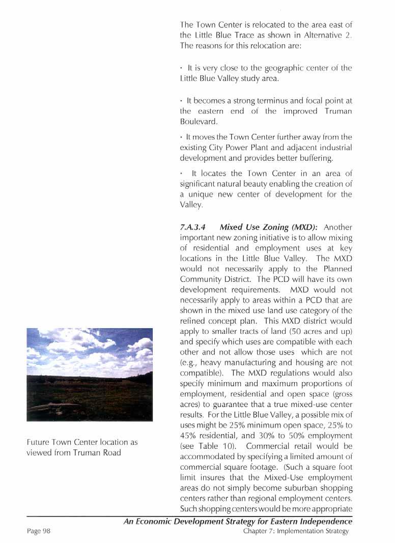
6.A.4 Town Center: The focal point of the Town Center is located in the vicinity of the proposed alignment of the Little Blue Parkway and Truman Road intersection as shown on the attached Comprehensive Plan and Thoroughfare Plan map, as amended. As the Town Center concept is detailed in subsequent development plans, its boundaries may extend beyond the limits described. The focal point of the Town Center is placed in this location because:
• Centrally located in the Little Blue Valley
• Provides a strong terminus and focal point at the eastern end of Truman Road

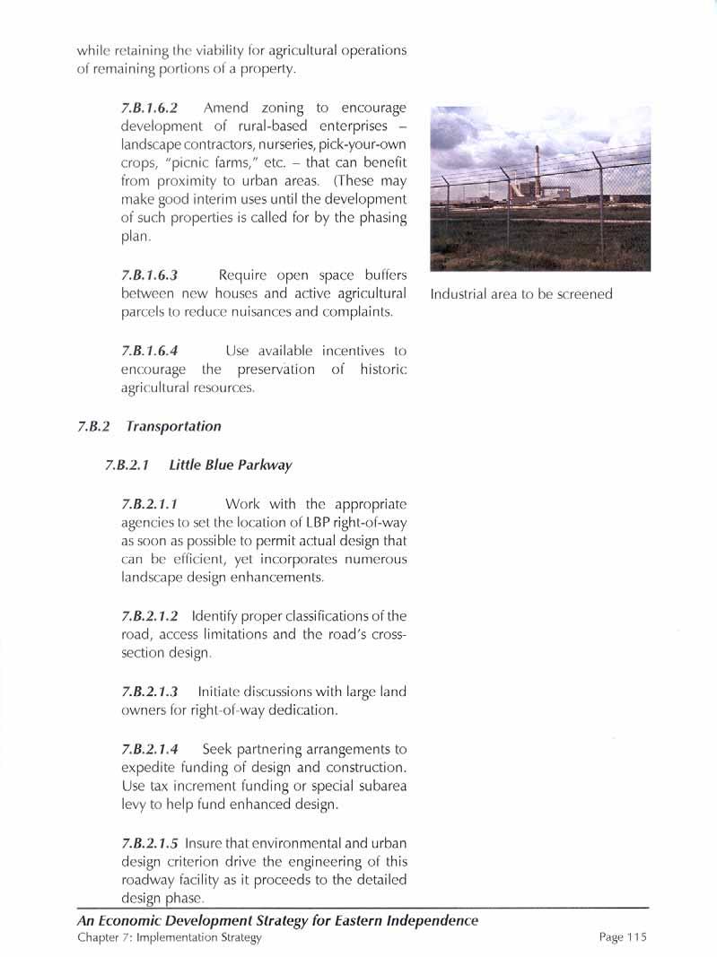
• Adequately distanced from non-compatible uses, such as the power plant and nearby industrial land use activities
• Takes advantage of significant beauty in the area and provides opportunities for attractive and desirable view sheds (vistas) for citizens and visitors.
Due to the unique character of the area, the Town Center should incorporate the following attributes:
Location and Form:
The core of the Town Center should be concentrated around a focal point and a higher density core with strong pedestrian and visual linkages to adjacent areas.
The Town Center should promote and be designed to foster sharing of common facilities such as parking, open space and other infrastructure.
Access/Transportation/Parking:
The Town Center should be linked with surrounding neighborhoods and the rest of the City by sidewalks, trails, and street connections, as appropriate.
While the Town Center should be served by arterial streets, such streets should be given special design treatment and be subject to speed and other restrictions as appropriate, to ensure that they are conducive to a strong pedestrian network throughout the Town Center and beyond.
Large expanses of surface parking should be broken up into smaller pods by streets, landscaping, sidewalks, walls, or other treatments. Parking lots should be heavily screened or separated from adjacent residential uses.
Design:
The Town Center should be a unique destination; Town Center buildings, including residential, civic, office, retail and commercial uses should be dramatic without conflicting with adjacent land uses.
Town Center buildings should be designed to enhance the character of streets, using features such as build-to-lines, display windows, etc.
Town Center buildings should be used to terminate some streets to create interesting and dramatic views.
Building heights, design, and operational attributes (hours of operation, lighting, etc.) should be compatible with residential uses within and nearby the Town Center as well as surrounding neighborhoods.
Service areas (loading, trash, utilities) should be incorporated into the overall design of buildings where possible or alternatively screened so that visual and acoustic impacts are minimized.
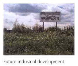
6.A.5 Non-Residential Development: Several areas are designated for Business/Industrial Parks and for General Mixed Use. These areas are along the major arterial and collector roads and will be the primary economic development areas of the Little Blue Valley. The Lake City Army Ammunition Plan is the area most ideally suited for heavier industrial uses. The area adjacent to and north of Lake City along M-7 Highway has been shown as business/Industrial Park in accord with the present zoning in this area.
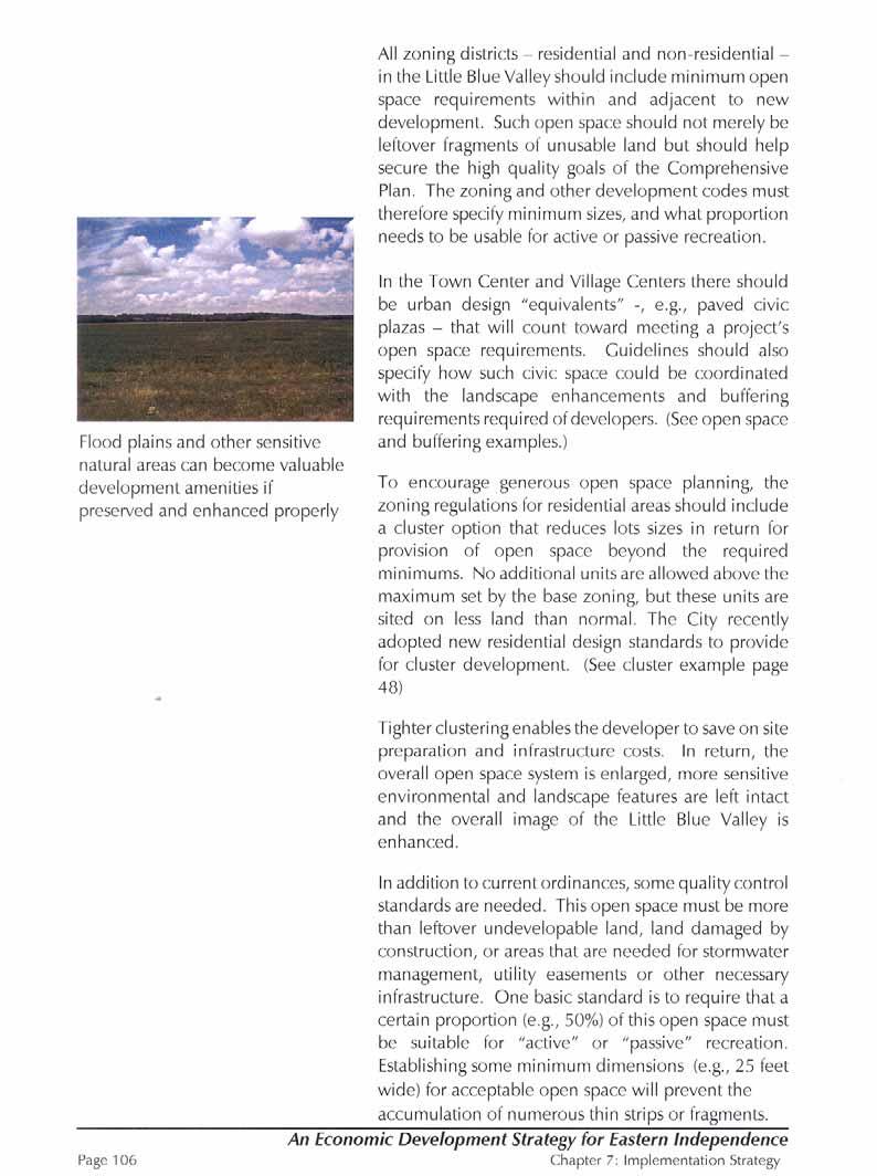
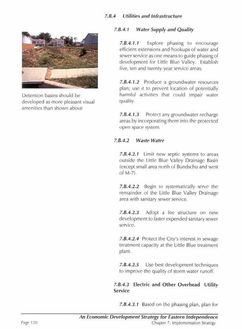
6.A.6 Flood Plain: A special designation is given to the 100-year flood plain areas1 along the Little Blue Trace. This designation primarily affects the plan’s General Mixeduse areas. More detailed future studies are necessary to examine how these areas may be developed under special regulations that protect sensitive environmental features.
1 It should be noted that studies are presently being done to update FEMA maps. This may affect the delineation of the 100-year flood plain limits.
Page 81
Resolution No. 5279; Amended June 19, 2006
Chapter 6: Refined Concept Plan
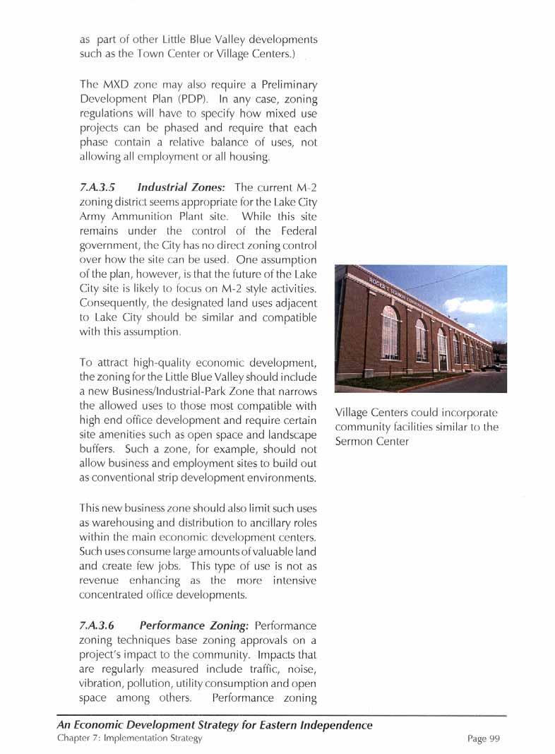
6.A.7 Village Centers: Four Village Centers are proposed to serve the more intensively developed portions of the study area. These Village Centers are the focal points of the various residential villages and would contain a mixture of uses including neighborhood commercial, some employment uses and civic uses such as libraries, churches and schools. The higher density residential areas should surround these Village Centers.
6.A.8 Residential Development: The overall residential development strategy is to place the highest densities around the Town Center, around the Business/ Industrial Parks, around the Village Centers and within the General Mixed-Use areas.
The area in the southeast quadrant along R.D. Mize Road, Eureka Road and Strode Road corridors is designated Estate Residential.
The area in the northeast quadrant east of the Little Blue Trace and north of Lake City is to remain in Agriculture/Rural Residential as in Alternative 2. The Village Center designation has been eliminated from this area.
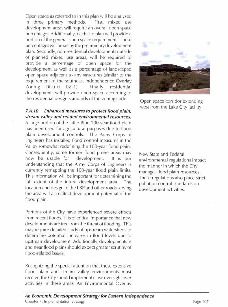
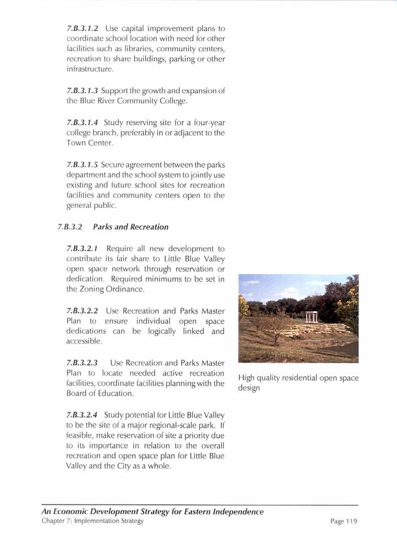
6.A.9 Open Space: The Plan retains the extensive open space and park system envisioned for the Valley. By setting aside significant open space and adding it to the Little Blue Trace, this section of the City will set a precedent for future development within the region. In addition to the major “spine” open space network, the Plan also calls for specific open space dedications within the development areas.
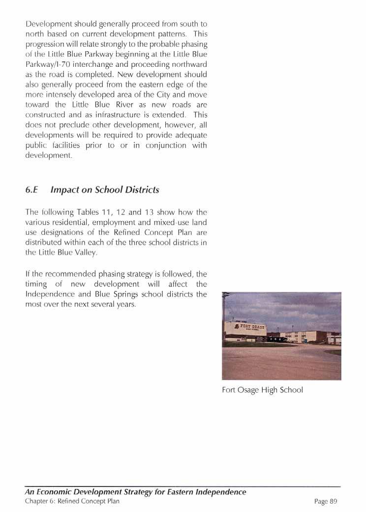
6.B. Balanced Development

The Refined Concept Plan represents a balanced mixture of uses including industrial/employment, residential, support retail, and open space. By the year 2020, 5,000 jobs are expected to be created resulting $140 million in direct wages. To support the employment base, 7,000 residential units are anticipated. (See Table 9)
Chapter
Preliminary estimate by Development Strategies suggest that balanced development, as contemplated in the Refined Concept Plan, is likely to generate City revenues will in excess of the cost to provide City services for the area. Summary Annual Revenues:

TABLE 9: 2020 ESTIMATED REVENUES/EXPENSES - Refined Concept Plan For 7,100 residential units and 3,050,000 square feet of employment/commercial Real
Page 83
An Economic Development Strategy for Eastern Independence
Chapter 6: Refined Concept Plan
Resolution No. 5279; Amended June 19, 2006

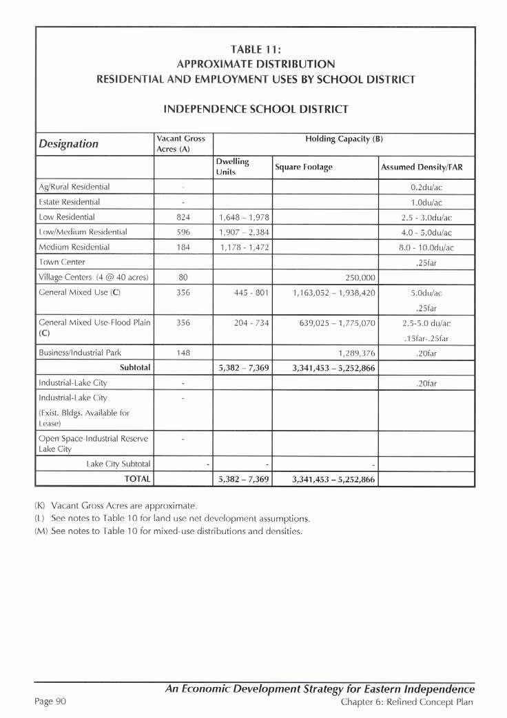
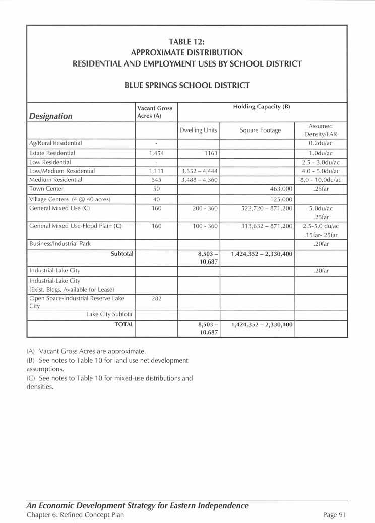
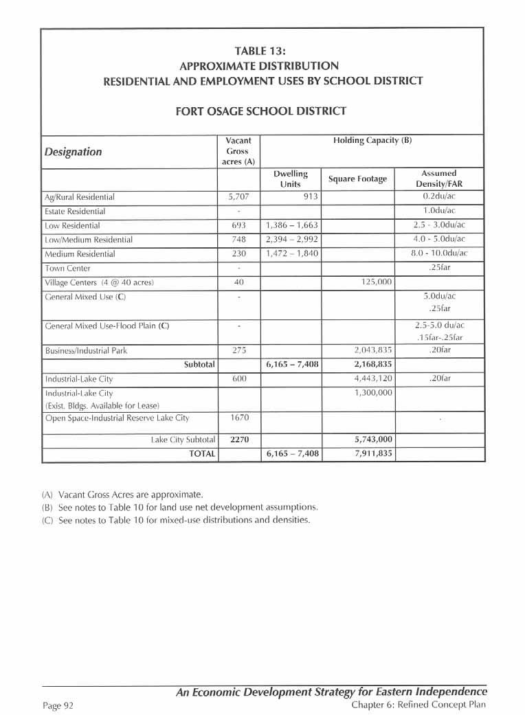
Table 10: REFINED CONCEPT PLAN HOLIDNG CAPACITY Little Blue Valley Study Area
(A) Vacant Cross Acres are approximate and are based on existing land use coverage supplied by the City of Independence but refined and adjusted by LDR International, Inc.
(B)Holding Capacity: These calculations assume the following net development areas: Residential = 80%
Employment = 85%
Mixed Use = 100%
(C) Mixed Use: Development program for nixed use areas = 25% minimum open space 30%-60% maximum employment
15% -45% maximum residential
Percentages are for example only and may vary with implementation.
An Economic Development Strategy for Eastern Independence
Page 85
Resolution No. 5279; Amended June 19, 2006
Chapter 6: Refined Concept Plan
6.C Mixed Use Development
The yields for the mixed use development area included in the refined alternative require additional calculations beyond the simple holding capacity approach cited previously in this report.


The goal of development is to encourage a mix of employment, residential and open space within an area or on a specific site. In the Little Blue Valley, mixed use areas will help promote the balanced and orderly growth goals developed through the public involvement process. A wise mix of uses at key sites within the Little Blue Valley will also help set the tone of high quality efficient growth that will make this area an attractive regional growth center.
Mixed use regulations give a developer a great deal of leeway regarding the specific proportions of land uses that must result. This desire to not over specify is secured by setting minimum and maximum percentages for broad categories such as employment, residential and open space in the zoning code. This allows the developer to respond better to specific market and site conditions. Thus a mixed use development could be predominantly employment on one site; while another mixed use area could be have a more residential character. Figure
Minimum Employment Scenario
Page 86
Resolution No. 5279; Amended June 19, 2006
Chapter 6: Refined Concept Plan
Mixed use regulations usually require that a project includes both residential and employment uses in each phase. The specific proportions are typically set in an approved development master plan adopted into the comprehensive plan and build out may proceed in phases until these targets are achieved. The development master plan should be for a minimum of 50 acres. To insure the employment component does not become a surrogate retail center, mixed use regulations usually limit retail uses to a definite upper square foot limit. We are recommending that the retail portion be limited to no more than 2.5% of the total employment square footage. Additionally, most employment land should relate, as much as possible, to the cluster of a village or Town Center.
In the Little Blue Valley the proportions of different land use categories (based on net developable land) within a mixed use zoning district (MXD) could be a minimum of 25% open space plus a 15% minimum to a 45% maximum for residential and from a 30% minimum to a 60% maximum used for employment, although these figures could vary based on implementation tools and market forces (see Figures 13, 14, and Table 10). In a 100-acre mixed use site, for example, at least 25 acres must be open space, 15-45 acres can be residential, and 30-60 acres can
Maximum Employment Scenario
Chapter 6: Refined Concept Plan Resolution No. 5279; Amended June 19, 2006
Page 88
be employment. An MXD program emphasizing employment might be 25% open space, 50% employment and 25% residential. An MXD emphasizing housing could have 30% employment and 45% housing in addition to the required 25% open space. The employment minimum percentage could be reduced within a Planned Community District (PCD –A PCD is a very large scale mixed use development) based on current market conditions and the success of other key employment areas such as the Lake City Ammunition Plant.
Because of the high proportion of open space in a mixed use area, the holding capacity of the employment and residential sections of the area are assumed to be 100%. Because of the wide range of possibilities allowed by MXD or PCD flexibility, the yield calculation shown on Table present ranges for employment and housing. To avoid overestimating the total amount of potential development within mixed use areas, it must be understood that as one category approaches the maximum, the other will approach the minimum. It should also be noted that lower assumed applied densities are used for mixed use areas affected by potential flood plain areas.
6.D Phasing Strategy
The implementation of the development in the Little Blue Valley will extend through the next 40 to 50 years with market conditions determining a faster or slower pace. Development should proceed in an orderly way in conjunction with an incremental extension or expansion of infrastructure, schools, and other municipal services. Although a market-driven pace is sensible, the City should strongly resist any tendencies toward a piecemeal or hopscotch development pattern in the Little Blue Valley at public expense. The Capital Improvement Plan can encourage proper phasing through planned annual expenses. The City should make efforts to encourage development only in those areas that are the most consistent with the overall planning strategy. The planning strategy is generally intended to be for the orderly and efficient provision of infrastructure and public services.