Aerial Surveying & Mapping Drones Solutions In South Africa


https://c-drones.com/za/aerial-surveying-and-mapping-drones-africa/ Contact us at: info@c-drones.com

• Monitor construction progress regularly
• Reduce risk and accidents
• Easily mitigate risk and manage the sites
• Better track a project’s progress, manage resources, reduce downtime, and keep South Africa projects on schedule and within budget.
• Contour Map
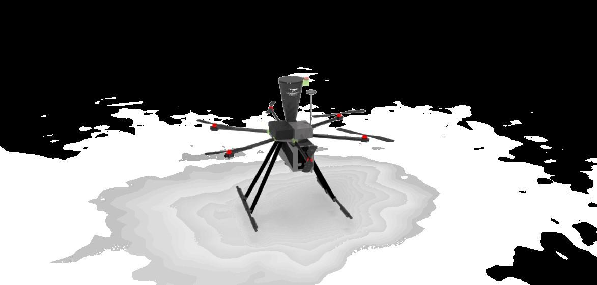
• Distance & Volumetric using optical or LIDAR scanning.
• Easy calculation of distance, perimeter, or volume Email: info@c-drones.com
https://c-drones.com/za/aerial-surveying-and-mapping-drones-africa/