Critical Mapping Practices As we commented at the beginning of the previous section, outside academic circles, critical cartography is supported by new mapping practices rooted largely, but not exclusively, in the art world and social activism. Crampton and Krygier coined the concept of critical mapping practices as those practices, outside academia, that have explored the critical potential of maps.121 They present map art and open source mapping as the most relevant examples of critical mapping practices. However, beyond the artistic reflections on the map and the democratization of mapping inherent in open source practices, the sphere of critical mapping practices should be expanded to include other equally significant practices that are rarely recognized in the specialized literature. With the aim of reviewing contemporary critical cartographic practices in all their richness and variety, we propose grouping them into the following three categories: countermapping, map art, and geoweb, although many critical practices participate in more than one of the categories that we will be describing in the following pages. Countermapping
121. See Crampton and Krygier 2006. 122. Denis Wood uses the term countermapping in a broader sense, to encompass any critical use of mapping: Wood 2010a: 110-255. We feel it is appropriate to separate the concept of countermapping from other critical mapping practices like map art and next generation mapping processes derived from geospatial web technology.
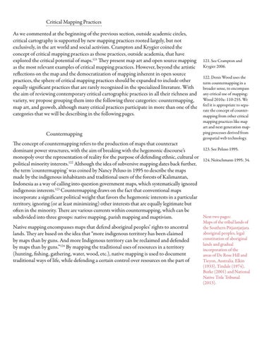
The concept of countermapping refers to the production of maps that counteract 123. See Peluso 1995. dominant power structures, with the aim of breaking with the hegemonic discourse’s monopoly over the representation of reality for the purpose of defending ethnic, cultural or 124. Neitschmann 1995: 34. political minority interests.122 Although the idea of subversive mapping dates back further, the term ‘countermapping’ was coined by Nancy Peluso in 1995 to describe the maps made by the indigenous inhabitants and traditional users of the forests of Kalimantan, Indonesia as a way of calling into question government maps, which systematically ignored indigenous interests.123 Countermapping draws on the fact that conventional maps incorporate a significant political weight that favors the hegemonic interests in a particular territory, ignoring (or at least minimizing) other interests that are equally legitimate but often in the minority. There are various currents within countermapping, which can be Next two pages: subdivided into three groups: native mapping, parish mapping and maptivism. Native mapping encompasses maps that defend aboriginal peoples’ rights to ancestral lands. They are based on the idea that “more indigenous territory has been claimed by maps than by guns. And more Indigenous territory can be reclaimed and defended by maps than by guns.”124 By mapping the traditional uses of resources in a territory (hunting, fishing, gathering, water, wood, etc.), native mapping is used to document traditional ways of life, while defending a certain control over resources on the part of
Maps of the tribal lands of the Southern Pitjantjatjara aboriginal peoples, legal constitution of aboriginal lands and gradual incorporation of the areas of De Rose Hill and Tieyon, Australia. Elkin (1933), Tindale (1974), Burke (2001) and National Native Title Tribunal (2013).